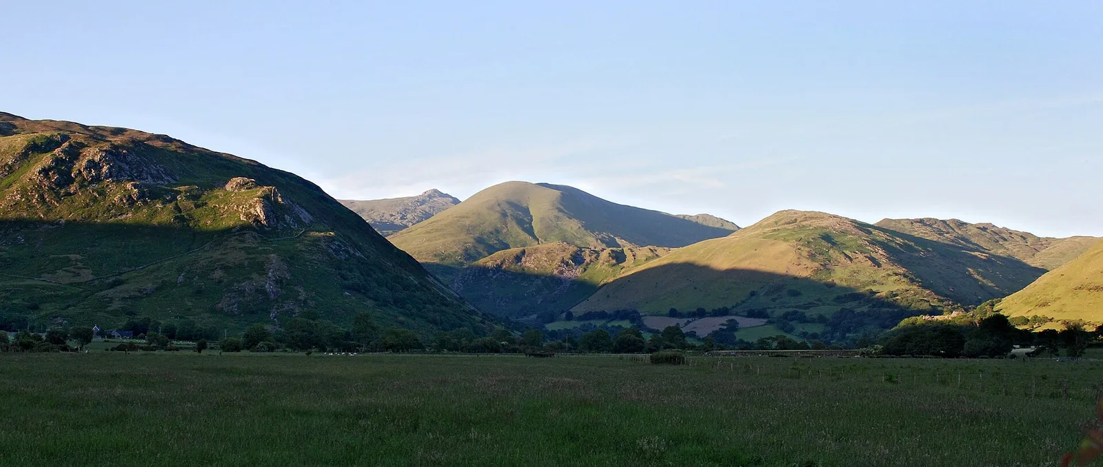
Low golden evening light raking across the layered ridgelines and cwms of the Cadair Idris massif in southern Eryri, Gwynedd, above a broad green valley.

Gwynedd Atlas

Mountains, peninsulas, castles and coast — a county too large to see in a day, and better for it.

Mountains & coast Slate, castles, sea

The county

Gwynedd is a large county, divided by its own mountains — ridges and valleys that turn a short line on the map into a long drive, and keep the coast and the summits in separate weather.

It doesn't reward collecting. Two places an hour apart can take a morning to join. The way to read it is to choose fewer places well — one landscape, one part of the county.

Field notes

How to use this atlas.

Pick a landscape or a part of Gwynedd, compare the thirty places charted so far, then open the full guide for parking, routes, tides and timing.

Best for
Mountains, castles, coast paths, quiet sand
Best pace
One landscape a day, not the whole county
Best base
Depends where you're headed — Llanberis for the peaks, Pwllheli for the Llŷn, Dolgellau for the south
Best light
Clear mornings for the tops, late sun on the west coast
Start with
Cwm Idwal, Caernarfon or Porthdinllaen
Watch for
Mountain weather, single-track roads, tides, full car parks

Pick the landscape, not the postcode.

Four kinds of day, sorted by the ground under your feet rather than by the map. In a county this size, the landscape you choose decides the drive — so choose one, and let it fill the day.

Get oriented

Find your part of Gwynedd.

Gwynedd is too big to read as one place. It falls into five parts, each with its own weather, character and reasons to go. Pick a part, and you've narrowed the county to a day.

The real outline of Gwynedd with every charted place at its true coordinate

The real outline of Gwynedd, simplified from Ordnance Survey county data, with every place charted so far at its true position. Colour groups the places into five parts of the county — it's an orientation key, not a road map.

The full atlas

The Gwynedd record, charted so far.

Every place we've stood in and written up, in one index. Start with the signature place below, or search the full list by name, landscape or part of the county.

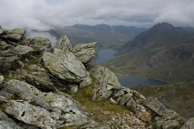
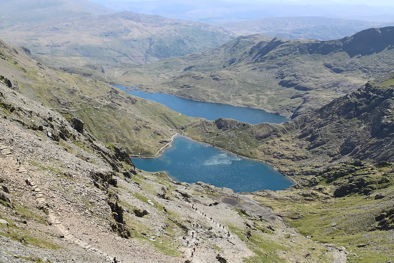
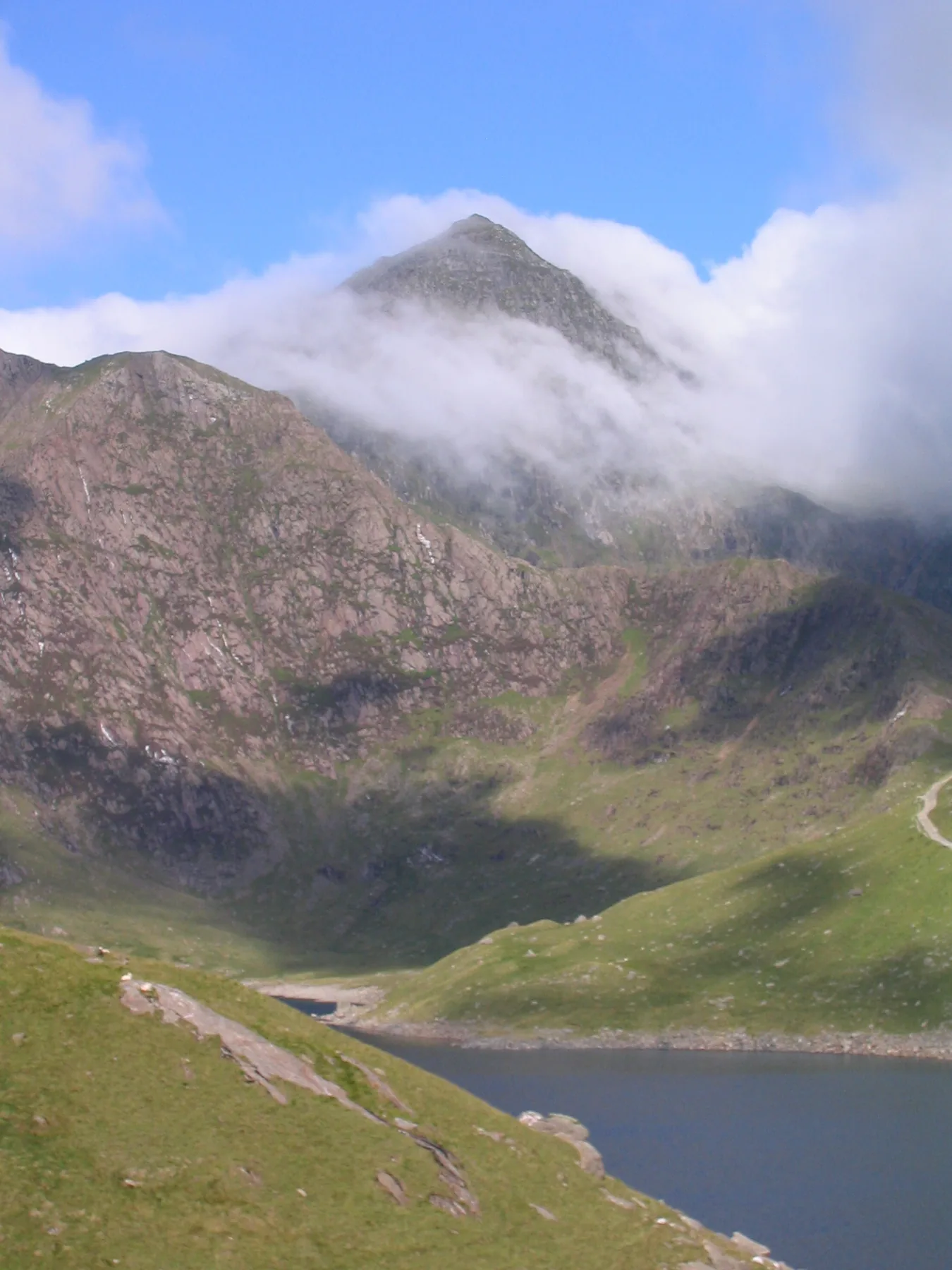
Signature place The view from the PYG Track high on Yr Wyddfa (Snowdon), looking down over the lakes of Llyn Llydaw and Glaslyn to the ridges and passes of Eryri, Gwynedd.
Signature · the county's high point

Yr Wyddfa (Snowdon)

The highest ground in Wales, above the lakes and passes of Eryri — six routes to the summit, each with its own character. It's the natural place to begin, but only the beginning: Gwynedd is peninsula, coast, castles and quiet southern country too.

A full day · strenuous — check the mountain forecast Read the guide
Not sure where to start? For the high tops, start at Cwm Idwal and look up. For history under cover, Caernarfon or Harlech. For the slow coast, the LlŷnPorthdinllaen or Porth Oer. For the quiet south, Cadair Idris.

Landscape & type
Part of Gwynedd

SignatureYr Wyddfa (Snowdon), the highest mountain in Wales, above the lakes of Eryri, Gwynedd.

Yr Wyddfa (Snowdon)

Eryri high country

The highest mountain in Wales, above the lakes and passes of Eryri: six walking routes to the summit, each with its own character.

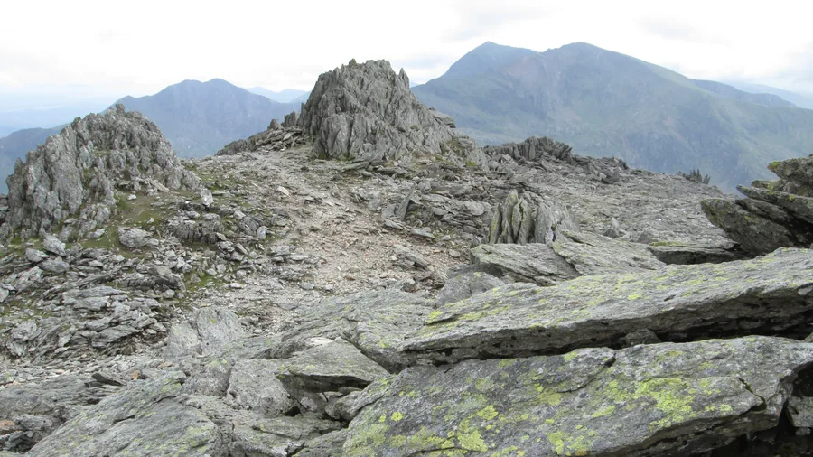
SignatureThe boulder-strewn summit plateau of Glyder Fawr in the Glyderau, Eryri, Gwynedd.

Glyder Fawr

Eryri high country

The highest of the Glyderau at 1,001 m: a scree ascent from Ogwen's Devil's Kitchen or the ridge above Pen y Pass, with no maintained path to the summit.

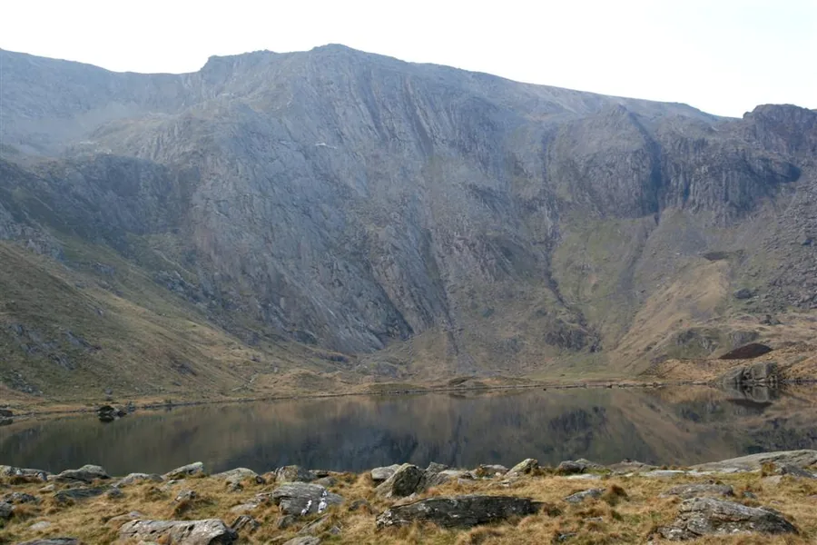
SignatureThe dark water of Llyn Idwal below the rock headwall of Cwm Idwal, Ogwen valley, Gwynedd.

Cwm Idwal

Eryri high country

Wales' first National Nature Reserve, a lake circuit below the Idwal Slabs and Devil's Kitchen, and the start of routes onto Y Garn and Glyder Fawr.

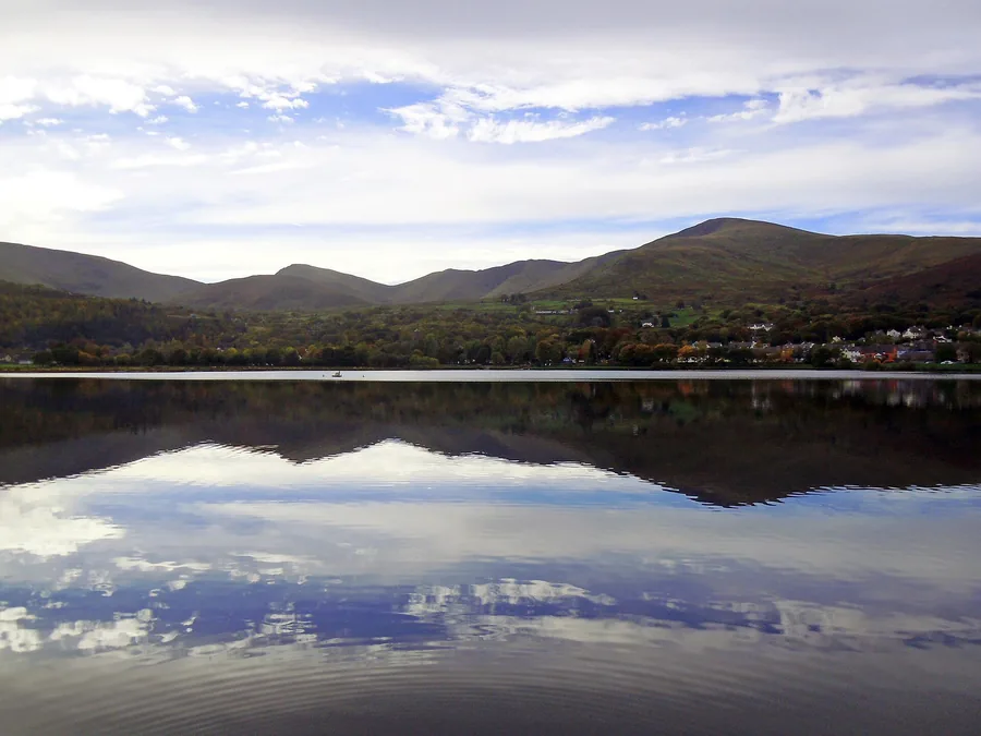
Worth the driveLlyn Padarn's still water reflecting Llanberis village and the mountains of Eryri behind it.

Llanberis

Eryri high country

The slate-quarrying village on Llyn Padarn's shore, at the foot of Yr Wyddfa: two heritage railways, a free 13th-century castle, and an 800-acre country park built on the old quarry ground.

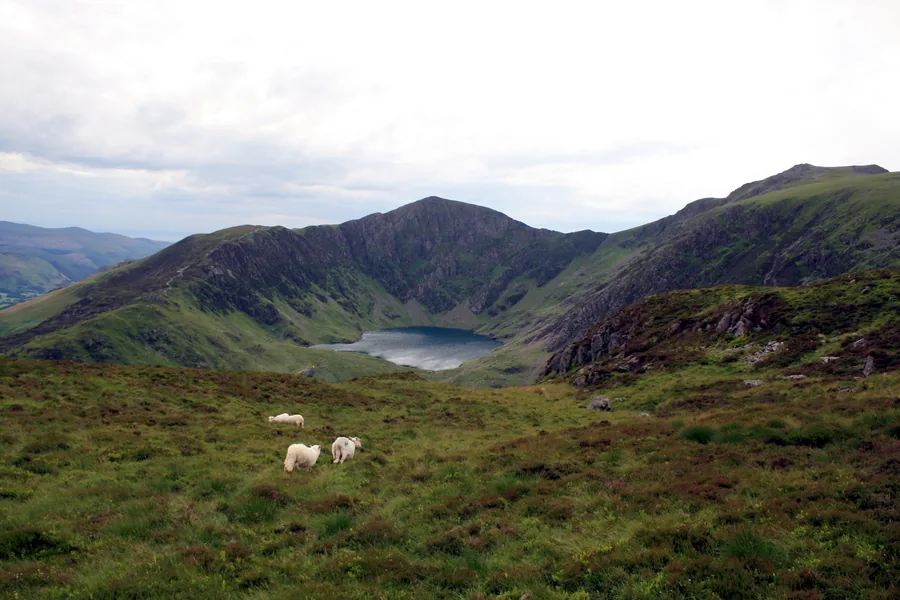
SignatureThe summit ridge of Cadair Idris above Dolgellau in southern Gwynedd.

Cadair Idris

Meirionnydd & the south

An 893 m mountain above Dolgellau in southern Eryri: two official routes climb past Llyn Cau in its glacial cwm to the summit of Penygadair.

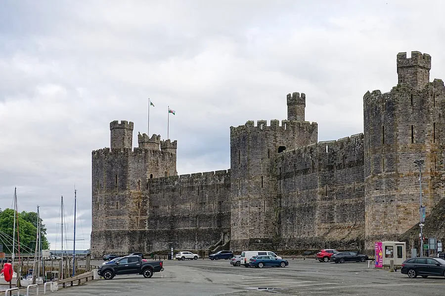
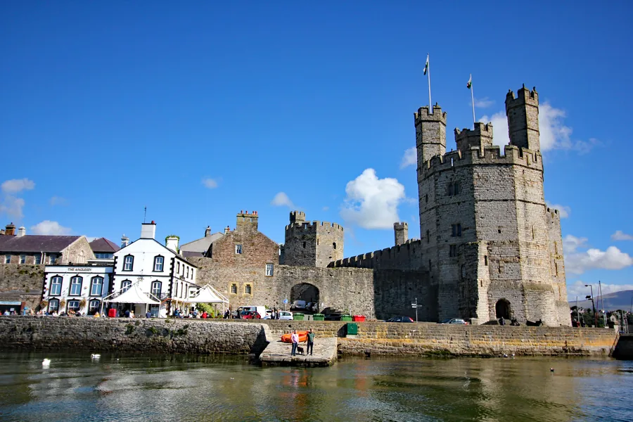
SignatureThe polygonal banded towers and curtain walls of Caernarfon Castle above the harbour, Gwynedd.

Caernarfon Castle

Arfon & the Menai edge

Edward I's Gwynedd fortress, its banded towers still standing whole above the Menai Strait.

Worth the driveCaernarfon seen across the foreshore at low tide, the full run of its medieval town wall leading to the castle at the far end, Gwynedd.

Caernarfon

Arfon & the Menai edge

A walled medieval borough on the Menai Strait: 734 metres of town wall with houses built against it, a market square inside, a working quay, a Roman fort above the town, and the terminus of the Welsh Highland Railway.

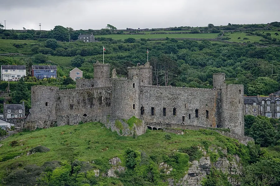
SignatureHarlech Castle on its rock crag above the green fields of Ardudwy, Gwynedd.

Harlech Castle

Ardudwy & the western coast

Edward I's fortress on a sheer rock crag above the dunes, crossed by a footbridge that recreates its original approach.

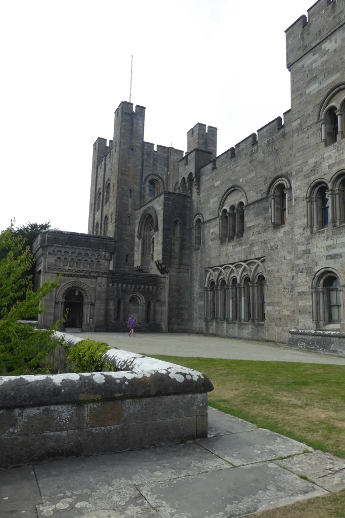
Worth the driveThe Neo-Norman keep of Penrhyn Castle near Bangor, Gwynedd.

Penrhyn Castle

Arfon & the Menai edge

A Neo-Norman fantasy castle near Bangor, built 1820–1837 on slate and sugar wealth, with a decade-built Grand Staircase and 60 acres of garden.

Worth the driveThe whitewashed cottages of Porthdinllaen along the beach of its sheltered fishing headland, Llŷn Peninsula, Gwynedd.

Porthdinllaen

Llŷn Peninsula

A car-free fishing headland reached only on foot, with a working lifeboat station and the Tŷ Coch Inn on the beach.

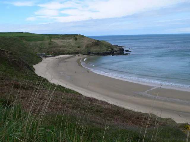
Hidden gemThe pale sand and clear shallows of Porth Oer, a cove on the north coast of the Llŷn Peninsula, Gwynedd.

Porth Oer

Llŷn Peninsula

A National Trust cove on the Llŷn Peninsula's north coast, known for sand that whistles underfoot when dry, with the Wales Coast Path running along its clifftop.

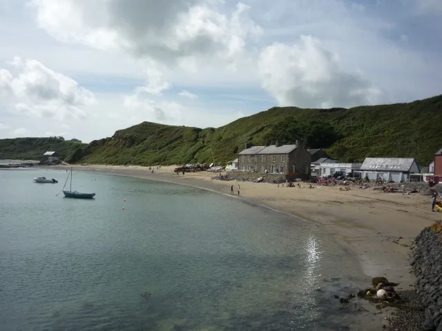
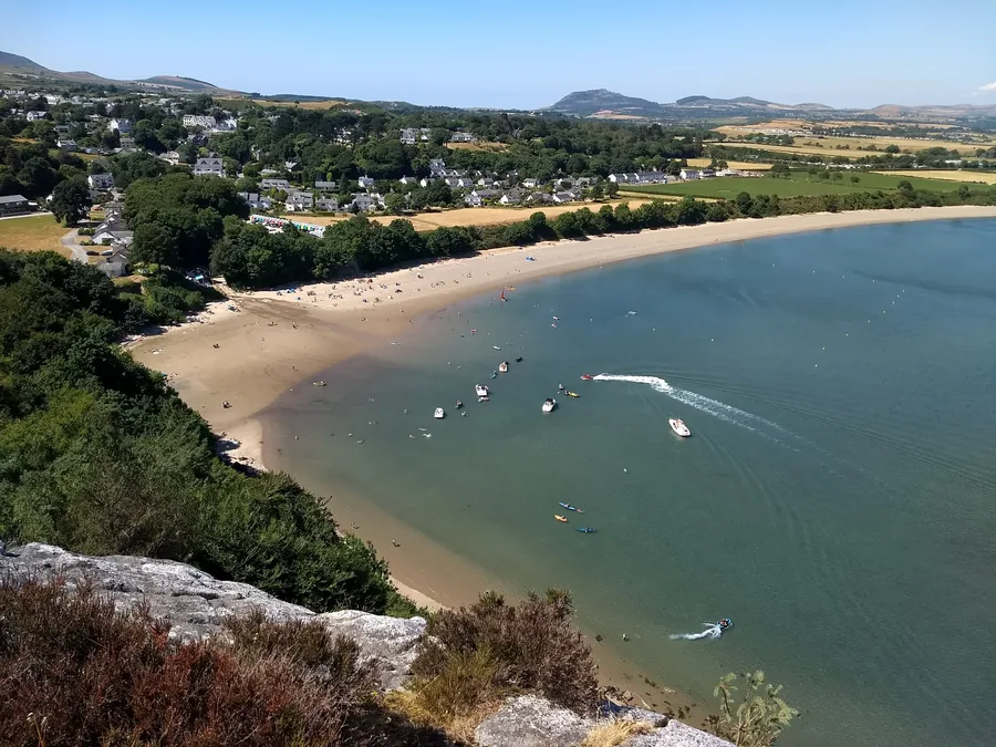
Worth the driveBoats moored off the beach at Abersoch, a sailing village on the Llŷn Peninsula, Gwynedd.

Abersoch

Llŷn Peninsula

A Llŷn Peninsula sailing village built around Porth Fawr beach and a yacht club racing since 1881, with a far wilder beach ten minutes down the road.

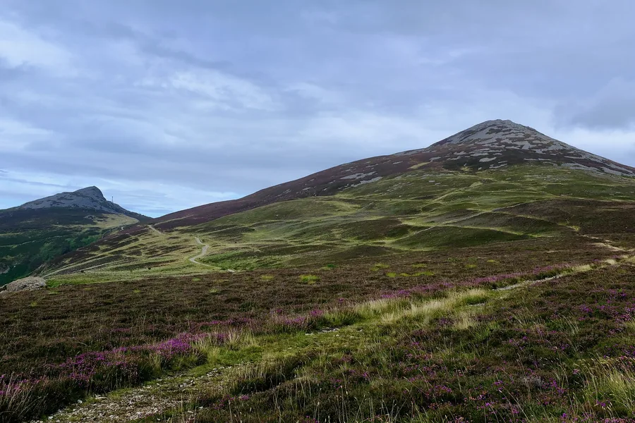
Worth the driveGarn Fôr and Garn Ganol, two of the three tops of Yr Eifl, above heather on the Llŷn Peninsula, Gwynedd.

Yr Eifl

Llŷn Peninsula

Three volcanic tops closing the north coast of Llŷn: the highest ground on the peninsula at 561 m, with Tre’r Ceiri, one of Britain’s best-preserved Iron Age hillforts, on the eastern summit.

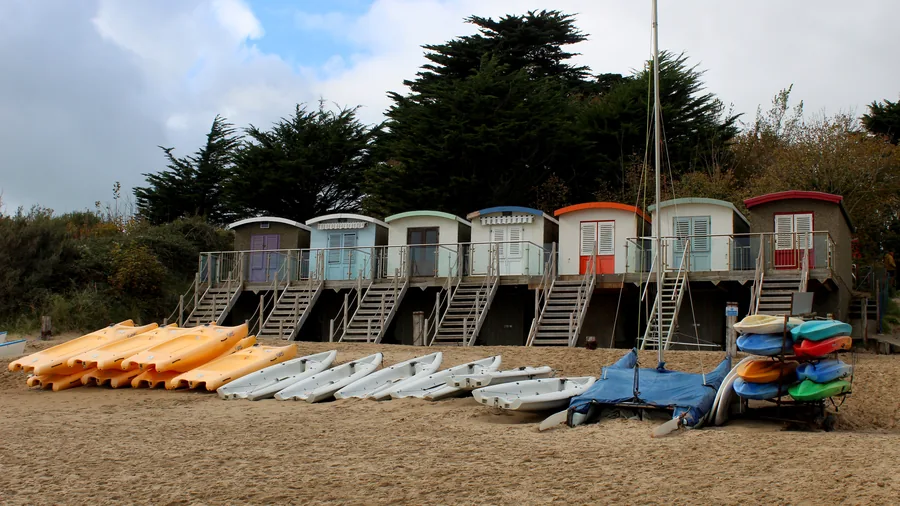
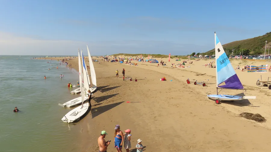
Worth the driveLlanbedrog beach and village seen from Mynydd Tir-y-Cwmwd, the sand curving away below wooded slopes on the Llŷn Peninsula, Gwynedd.

Llanbedrog

Llŷn Peninsula

A sheltered Llŷn bay under a granite headland: a painted line of beach huts on the sand, a Grade II* Gothic house showing art since 1896, and a hollow metal figure on the skyline above.

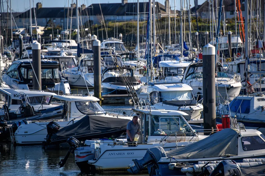
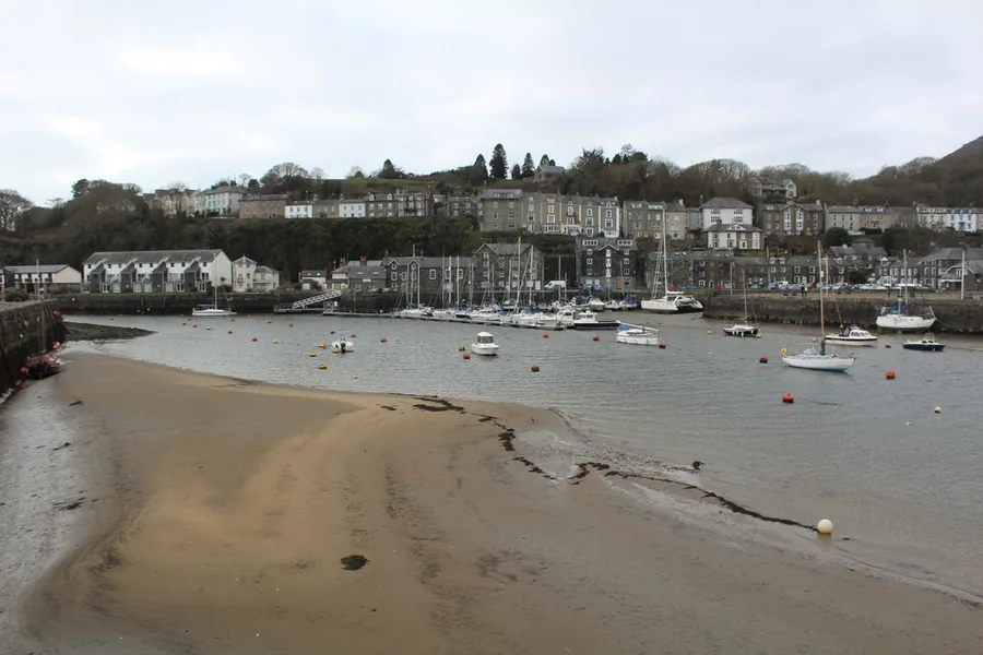
Worth the driveMasts and pontoons at Hafan Pwllheli, the marina where the Afon Erch and the Afon Rhyd-hir meet the sea, Llŷn Peninsula, Gwynedd.

Pwllheli

Llŷn Peninsula

The main town of the Llŷn: a Wednesday market on an open square granted by charter in 1355, a working harbour that drains to mud twice a day, one of the largest marinas in Wales, and three miles of sand running east.

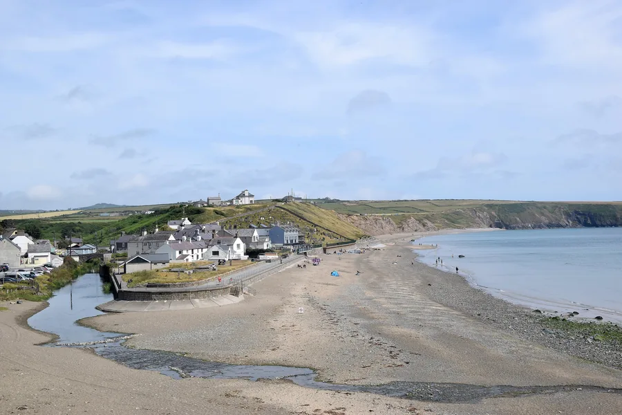
Worth the driveAberdaron's houses above the sand where the Afon Daron crosses the beach, the bay opening south beyond them, Llŷn Peninsula, Gwynedd.

Aberdaron

Llŷn Peninsula

The village where the Llŷn runs out of road: a Grade I church standing on the tideline, two rivers meeting under one bridge, and the working cove a mile south from which boats still cross to Ynys Enlli.

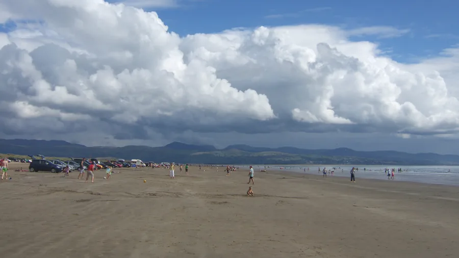
Worth the driveThe wide sands of Black Rock Sands on Tremadog Bay with the hills of Eryri behind, Gwynedd.

Black Rock Sands

Ardudwy & the western coast

A two-mile Tremadog Bay beach you can drive straight onto, with a rock-pooled headland at low tide and the mountains of Eryri close behind.

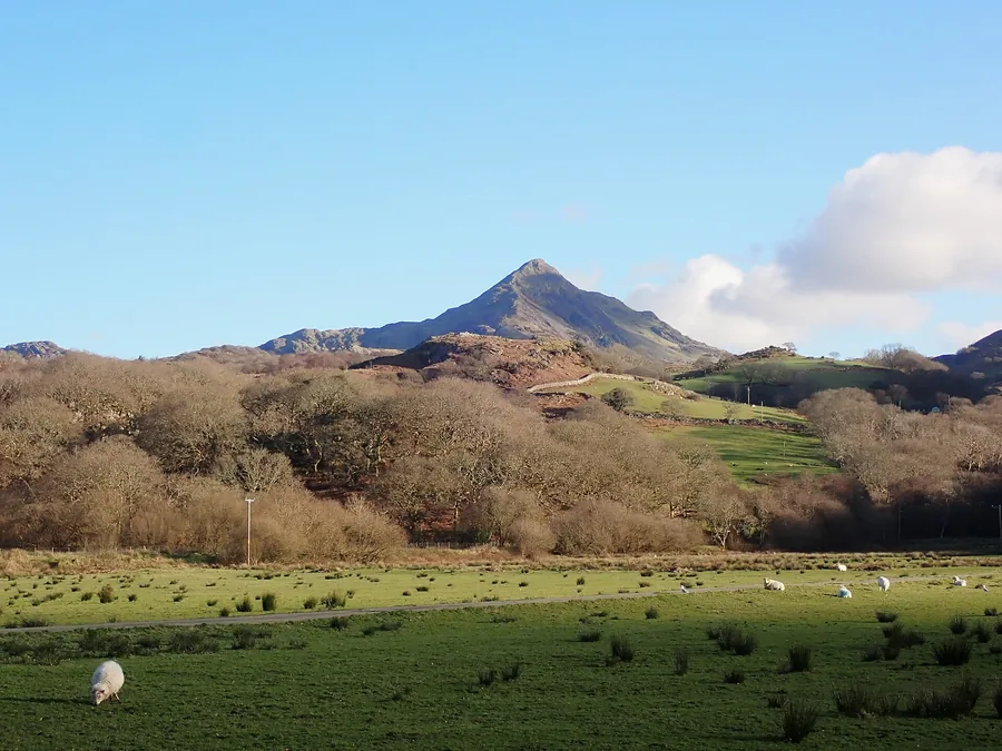
Worth the driveCnicht rising as a pyramid above Cwm Croesor, the Moelwynion, Eryri, Gwynedd.

Cnicht

Ardudwy & the western coast

The "Matterhorn of Wales" above Croesor: a 691 m summit at the end of a ridge in the Moelwynion, climbed by a short scramble from Croesor or a long, boggy day from the north.

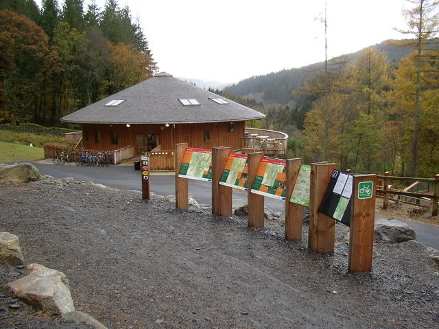
Worth the driveThe Coed y Brenin Visitor Centre building among the trees, Gwynedd.

Coed y Brenin Forest Park

Meirionnydd & the south

A 9,000-acre working forest near Dolgellau: Britain's first mountain-bike forest, with waymarked walks to two waterfalls and a former gold mine.

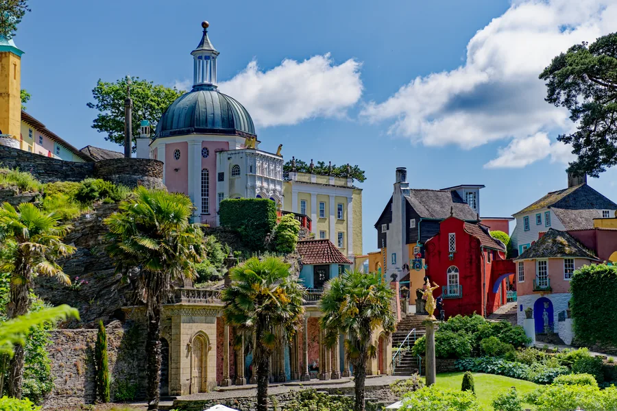
SignatureThe domed Pantheon and painted Italianate houses of Portmeirion, rising above palms and terraced gardens.

Portmeirion

Ardudwy & the western coast

Sir Clough Williams-Ellis's Italianate village on the Dwyryd estuary, built 1925–1975, and the real filming location of The Prisoner.

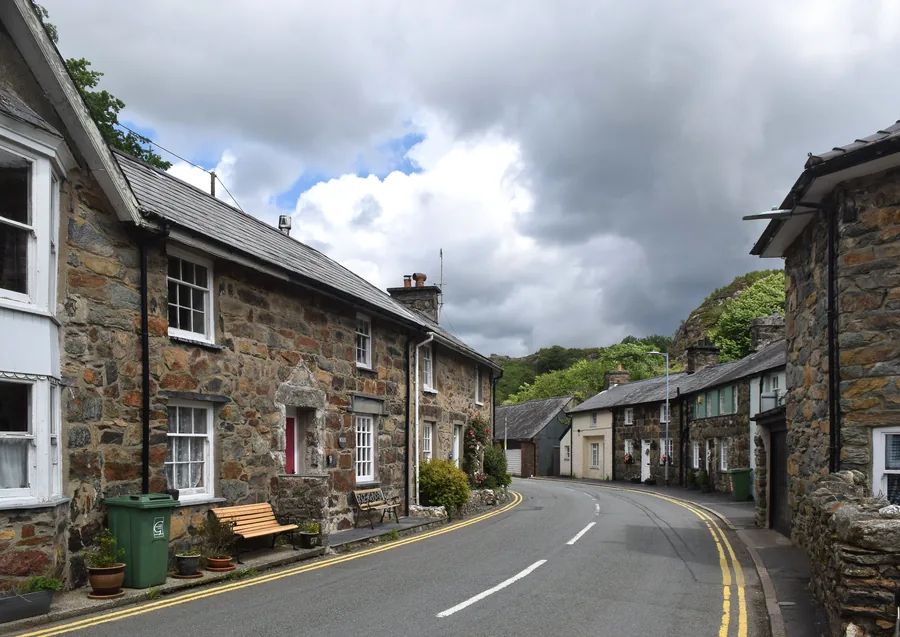
Worth the driveThe daytime village street of Beddgelert, stone cottages beneath the hills of Eryri.

Beddgelert

Eryri high country

A village where the Glaslyn and Colwyn meet: Gelert's Grave, a medieval church, an underground copper mine and a railway that came back.

Worth the drivePorthmadog harbour, boats moored on the seaward side of the Cob.

Porthmadog

Ardudwy & the western coast

A working harbour town built by an early-1800s embankment that scoured out a deep-water port by accident: the Ffestiniog & Welsh Highland Railways' terminus, a slate-shed museum, and Borth-y-Gest a mile along the coast.

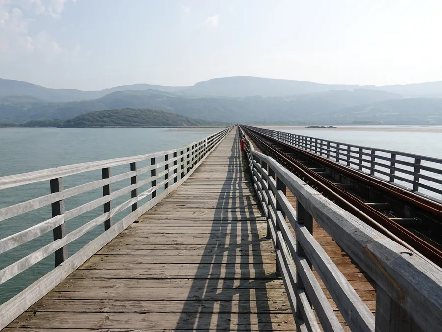
Worth the driveBarmouth Bridge, the timber railway viaduct crossing the Mawddach estuary.

Barmouth

Meirionnydd & the south

A seaside town at the mouth of the Mawddach estuary holding two national firsts: the National Trust's very first gift of land at Dinas Oleu, and one of Britain's oldest timber railway viaducts.

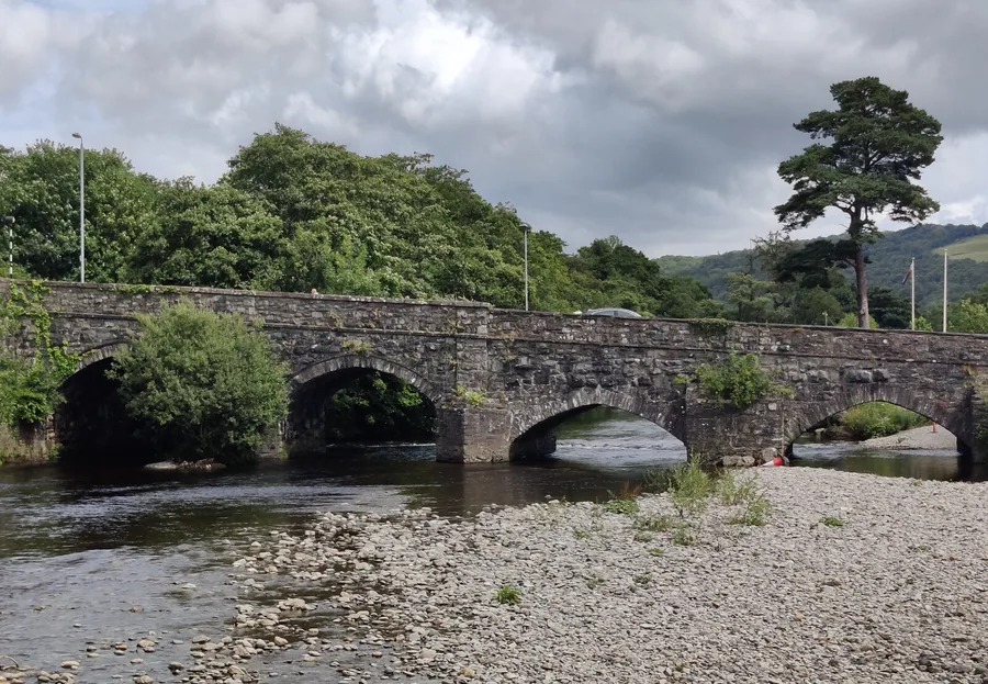
Worth the driveY Bont Fawr, the stone bridge into Dolgellau, with the town and the hills of southern Eryri behind.

Dolgellau

Meirionnydd & the south

A grey-stone market town on the River Wnion below Cadair Idris: more listed buildings than any other town in Wales, Wales's national home of folk music, and the start of the level Mawddach Trail to Barmouth.

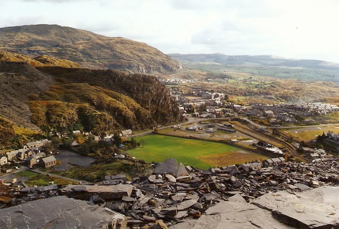
Worth the driveBlaenau Ffestiniog beneath its slate quarries, Gwynedd.

Blaenau Ffestiniog

Ardudwy & the western coast

A former slate-quarrying town built beneath its own quarry: underground mine tours, zip lines and mountain biking on the same hillside, and one end of the historic Ffestiniog Railway.

Worth the driveAberdyfi's painted seafront terraces seen from the sand, walkers on the beach and the jetty at the far end, Gwynedd.

Aberdyfi

Meirionnydd & the south

A village one street long on the north shore of the Dyfi estuary: a working jetty with a bronze bell the incoming tide rings by itself, miles of sand running west, and the shipyard shore at Penhelig where forty-five sailing ships were built.

Worth the driveThe summit of Y Garn, with Llyn Ogwen and Llyn Idwal below and Tryfan beyond.

Y Garn

Eryri high country

A 947 m Glyderau summit above Cwm Idwal: the popular Ogwen circuit past Devil's Kitchen, or a longer, quieter ridge from Marchlyn via Elidir Fawr.

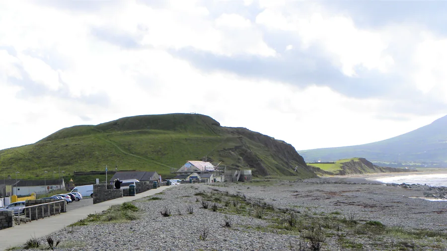
Worth the driveThe Iron Age hillfort mound at Dinas Dinlle above its shingle shore, the coast running south towards the hills.

Dinas Dinlle

Arfon & the Menai edge

A beach car park below an Iron Age hillfort whose western rampart has been losing ground to the sea for over a century.

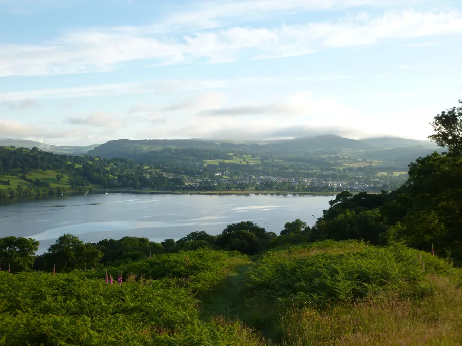
Worth the driveLlyn Tegid (Bala Lake) and Bala town, seen together from Llangywer.

Llyn Tegid (Bala Lake)

Meirionnydd & the south

Wales' largest natural lake, still managed as a working flood reservoir for the town of Bala on its own shore.

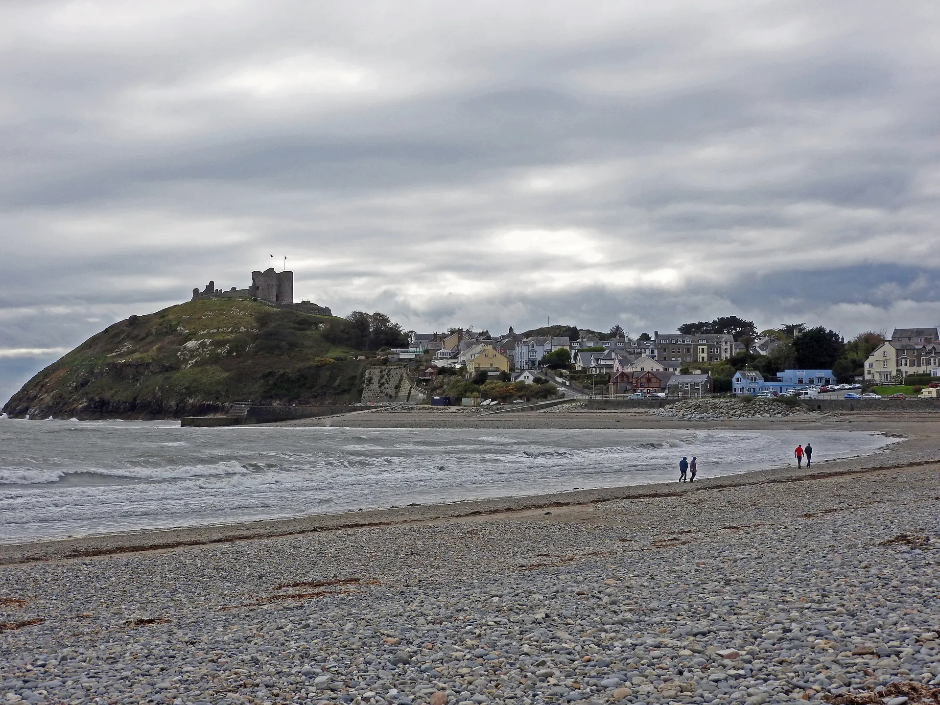
Worth the driveCriccieth Castle on its headland promontory above the town, the bay and Tremadog Bay beyond.

Criccieth

Llŷn Peninsula

A small town on the south Llŷn coast, built around a medieval castle on a rock that splits the shore in two: East Beach on one side, Marine Terrace on the other, and the High Street climbing from Y Maes to the castle gate.

Before you go.

A short field note. Nothing here replaces checking on the day — it's just what tends to matter in a county this size.

Mountain weather

The tops make their own weather and it turns fast. Check the mountain forecast, not the valley one, and be ready to turn back.

Roads and parking

Passes and peninsula lanes are single-track and slow. Popular car parks — Ogwen, Pen y Pass, the Llŷn coves — fill early. Come in the morning.

Coast and tides

The coast has its own weather, often clearer than the peaks. Check tides before any beach walk — Black Rock's sands and the Llŷn coves change fast on a rising sea.

Pace and distance

Places that look close often aren't — a mountain sits between them. One landscape a day is plenty; don't try to cross the county and climb it too.

Choose one landscape.

Don't try to collect Gwynedd in a day. Choose one landscape, or one part of the county, and give it the time it asks for. The mountain will still be there next time — so will the coast.

Privacy Contact