Tý Siamas
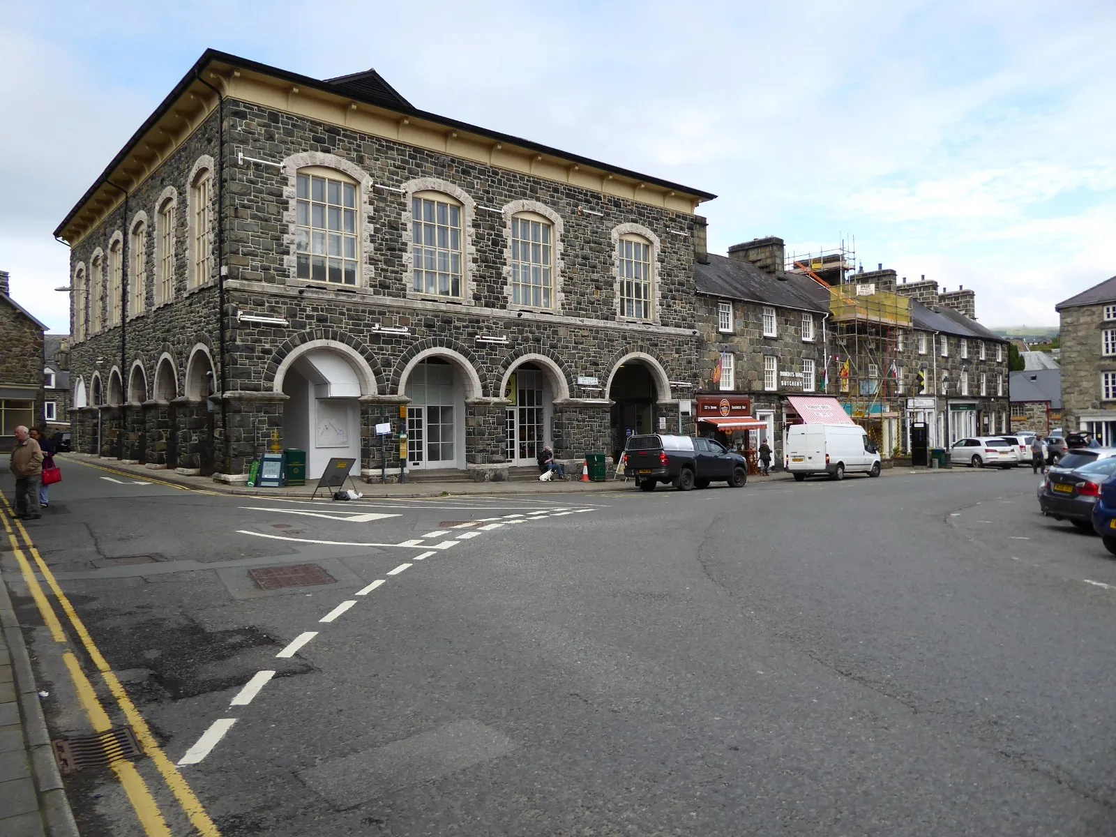
A market hall on Eldon Square that now works as the national centre for Welsh folk music.
Gwynedd (Meirionnydd) · Afon Wnion
A grey-stone market town where the road from the coast meets the mountains, with more listed buildings than anywhere else in Wales.
01The town
Dolgellau is built in grey local stone on the River Wnion, in the southern part of Eryri. Y Bont Fawr crosses the river at the northern edge, and Eldon Square sits a few minutes inland from it with the shops and the market hall around it. The whole historic core sits within about four hundred metres.
More buildings are listed here than in any other town in Wales, and none of them is behind a rope. The bridge, the church, the market hall and the court house are all still doing their jobs, a few minutes apart. It is a working town that never needed preserving.
Character
Shops, a market square and a folk-music national centre exist because people live and work here, not because visitors do.
Pace
The historic core is a short walk. The Mawddach Trail, and the climb up Cadair Idris, both start at its edge and ask for a longer day.
Landscape
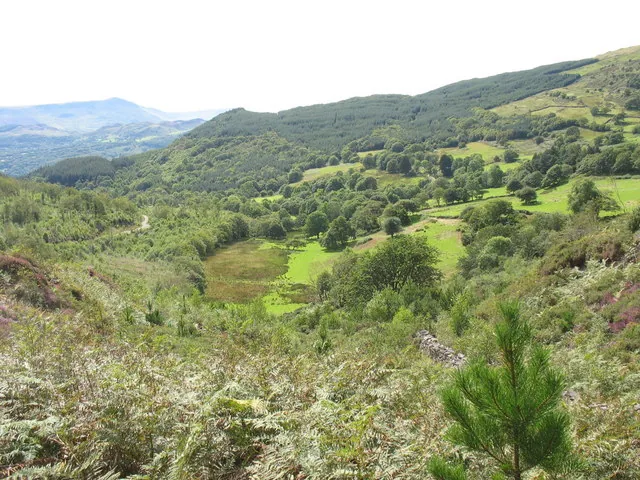
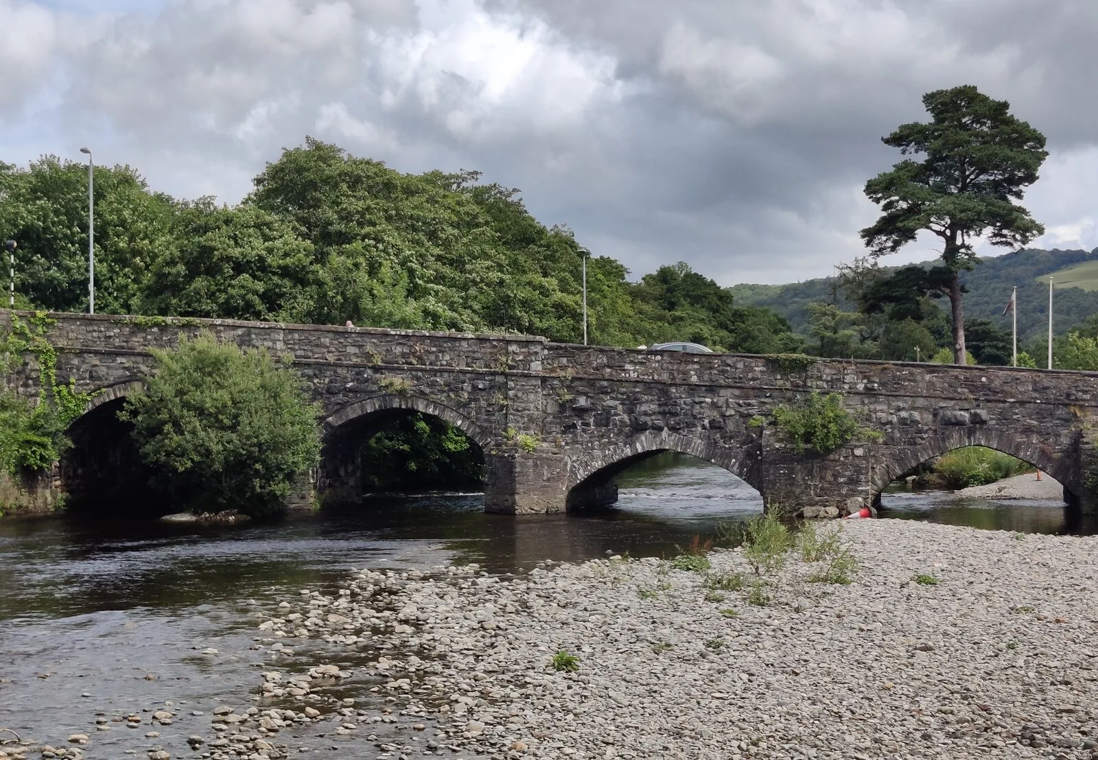
The Wnion runs under Y Bont Fawr at the town’s northern edge, with Cadair Idris rising directly to the south.
Best for
Best for a walkable historic centre, Wales’s national home of folk music, and a level start into southern Eryri.
02Discover
A market hall on Eldon Square that now works as the national centre for Welsh folk music.
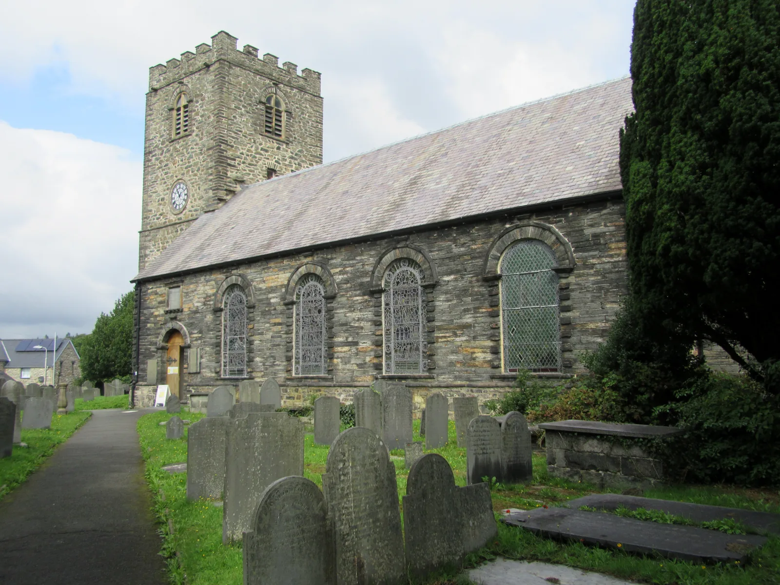
An unusually complete Georgian interior, rebuilt around the medieval church it replaced.
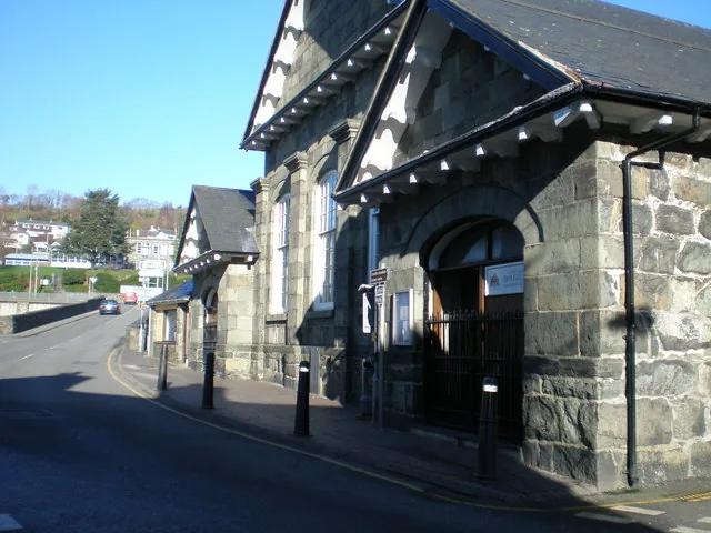
The river crossing the town grew from, with the old county court house standing right beside it.
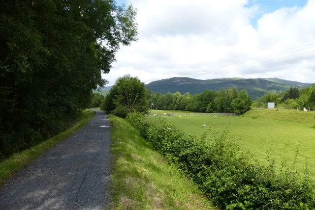
A car-free former railway path running level for eight miles beside the Mawddach estuary to Barmouth.
Beyond the first defining moments, the fuller Dolgellau catalogue continues below.
All four points sit within a few minutes of one another, around the crossing where the road meets the river.
No verified image yet
Eldon Square & Tý Siamas
Shops and cafés around Eldon Square, with the folk-music centre in the old market hall.
Four things worth stopping for: a Victorian market hall turned national folk-music centre, a Georgian parish church, a historic bridge and its old court house, and a level trail out along the Mawddach estuary. No pubs, cafés or shops are listed. See Local life for the town’s everyday character.
Cultural venue & heritage building
The town’s old market and assembly hall is now Wales’s national home for folk music: a grand room on the square with a recording studio behind it.
Check what is on (opens in a new tab)Working parish church
An unusually complete Georgian interior, and it was raised around the medieval church it replaced, which stayed in use until the new one was finished.
Historic bridge & civic building
Seven arches doing the work of a town that never stopped needing a way over the Wnion, with the old county court house standing right beside it.
Riverside green & long-distance trail
Where the streets end, a level car-free path picks up the old railway line and runs eight flat miles beside the estuary to Barmouth Bridge.
Tý Siamas’s opening hours and any car-park tariff can change. Confirm before you build a day around either.
Tý Siamas: current opening03Story
Dolgellau grew up where a road meets a river below a mountain. Everything it later became — county town, wool trade, Quaker exodus, folk-music centre — grew from that same crossing.
Dolgellau grew up around the point where the road from the coast meets the road into the mountains, on the River Wnion below Cadair Idris. It became the county town of Merionethshire, and stayed so until the county was abolished in 1974: a status now visible only in the density of its own listed buildings, more than any other town in Wales.
Local tradition holds that Owain Glyndŵr assembled the last Welsh Parliament of 1404 here, in a building later known as Parliament House. That building was taken down and rebuilt in Newtown in 1886, and no source checked here fixes its original site with certainty, so the town keeps the story more securely than the stones.
Through the 18th century Dolgellau grew rich on Welsh flannel: by 1800 the trade was reckoned worth £50,000 to £100,000 a year, carried out to Barmouth for shipping or over to Bala and on to Shrewsbury. Factories went up in the town and the valleys around it from 1801, and the trade declined through the 19th century as mechanised mills elsewhere took the business.
George Fox preached in Dolgellau in 1657, and enough of the town was convinced that a group left for Pennsylvania in 1686, led by Rowland Ellis of Bryn Mawr, a farm in the hills south of the town. Ellis’s farm gave its name to the Pennsylvania town — and the women’s college — still called Bryn Mawr today.
The market hall on Eldon Square went up in 1870, and spent a century as exactly that: plus a grain store, a cinema, and a dance hall along the way. In 2007 it reopened as Tý Siamas, the National Centre for Welsh Folk Music, named for an 18th-century harpist who played for a queen.
The mountain that gave the wool trade its water still stands over the town that grew from it.
Atlas of Wales
Dolgellau doesn’t rearrange itself for visitors. Eldon Square and the streets around it hold the everyday shops, cafés and pubs of a town that has always done its own business first: the folk-music centre and the listed buildings are what’s left of a working county town, not a themed high street.
The Mawddach Trail is as much a dog walk and a cycle commute as a visitor attraction, and Sesiwn Fawr — the folk and world-music festival Dolgellau has held every July since 1992 — is when the square fills most.
Sesiwn Fawr (July) is the town’s busiest week by a clear margin. If you want the quiet version of Dolgellau, come outside it.
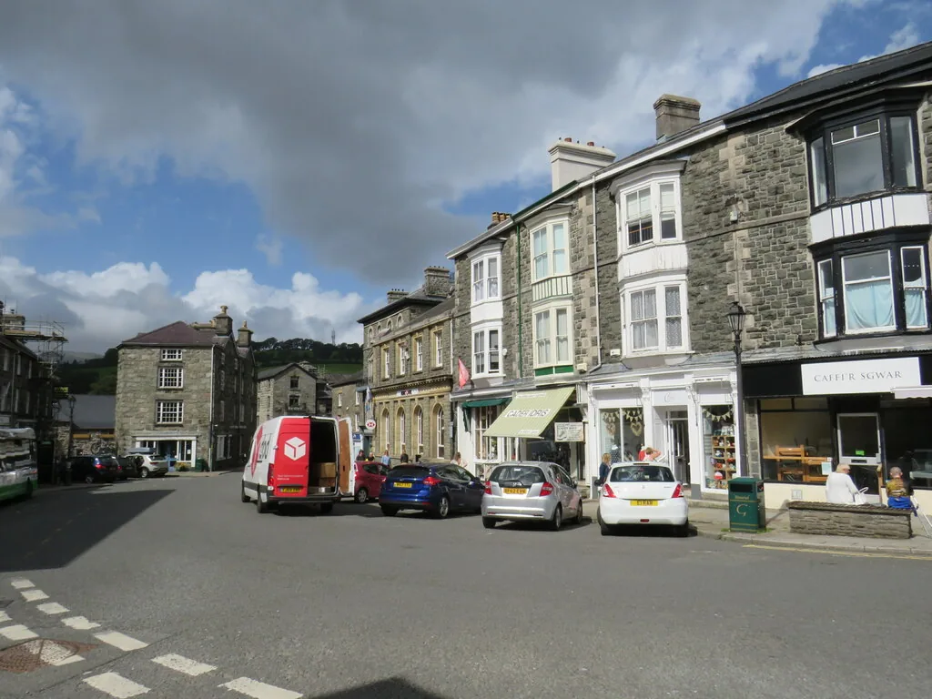
Cafés, pubs and independent shops run around the square and up the streets off it: a working high street that exists for the people who live here as much as for anyone passing through.
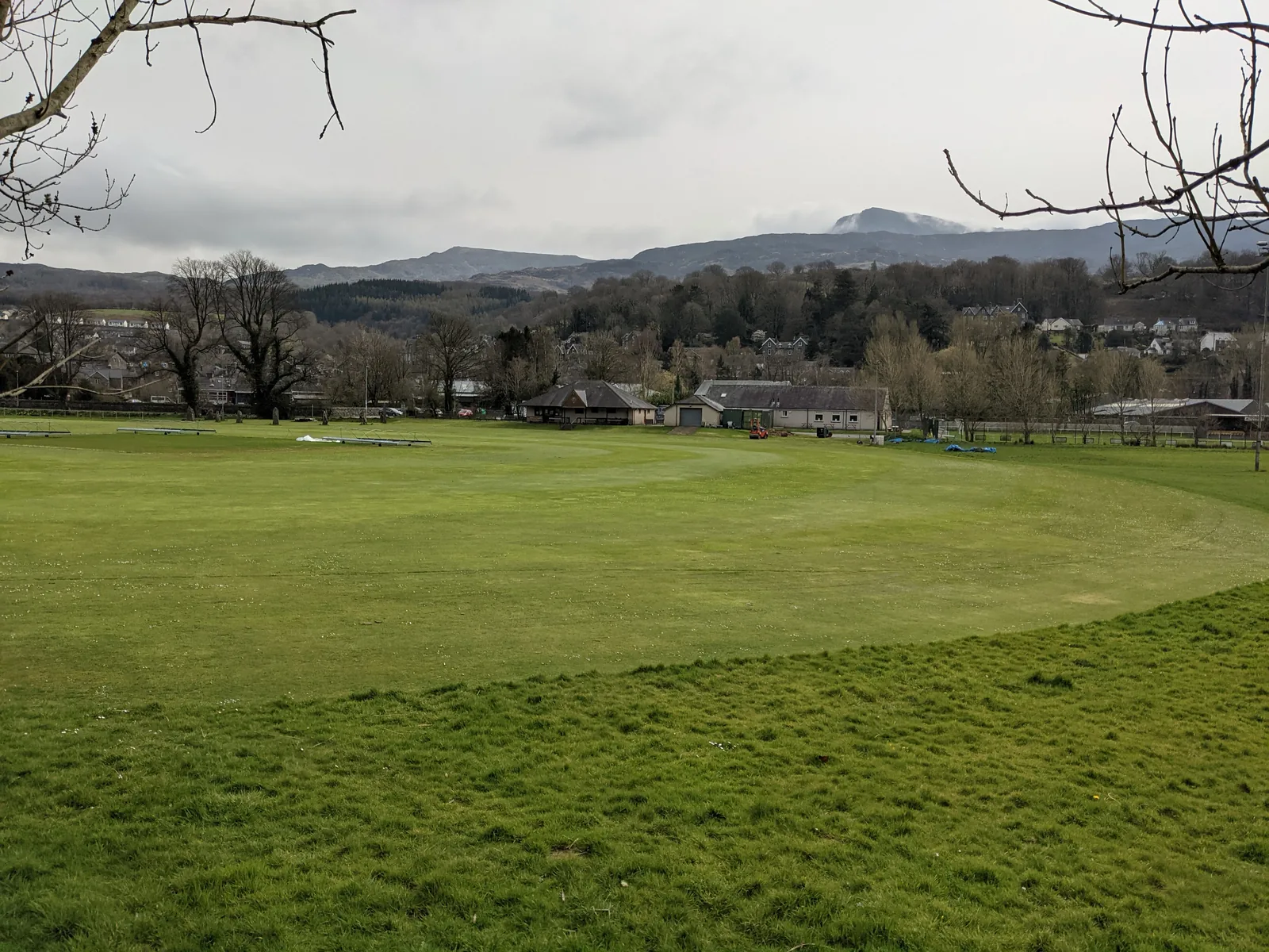
The open ground at the edge of the centre is where Dolgellau’s everyday outdoor life happens: a short walk from the shops and the river.
A crossing-point’s character
Every road into southern Eryri passes through Dolgellau, which is exactly why it’s easy to drive past. The things worth stopping for sit within a few streets of each other, and none of them charges anything to look at.
Plan your time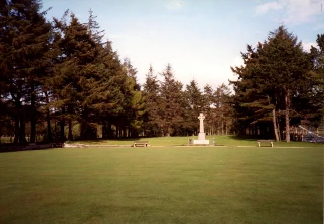
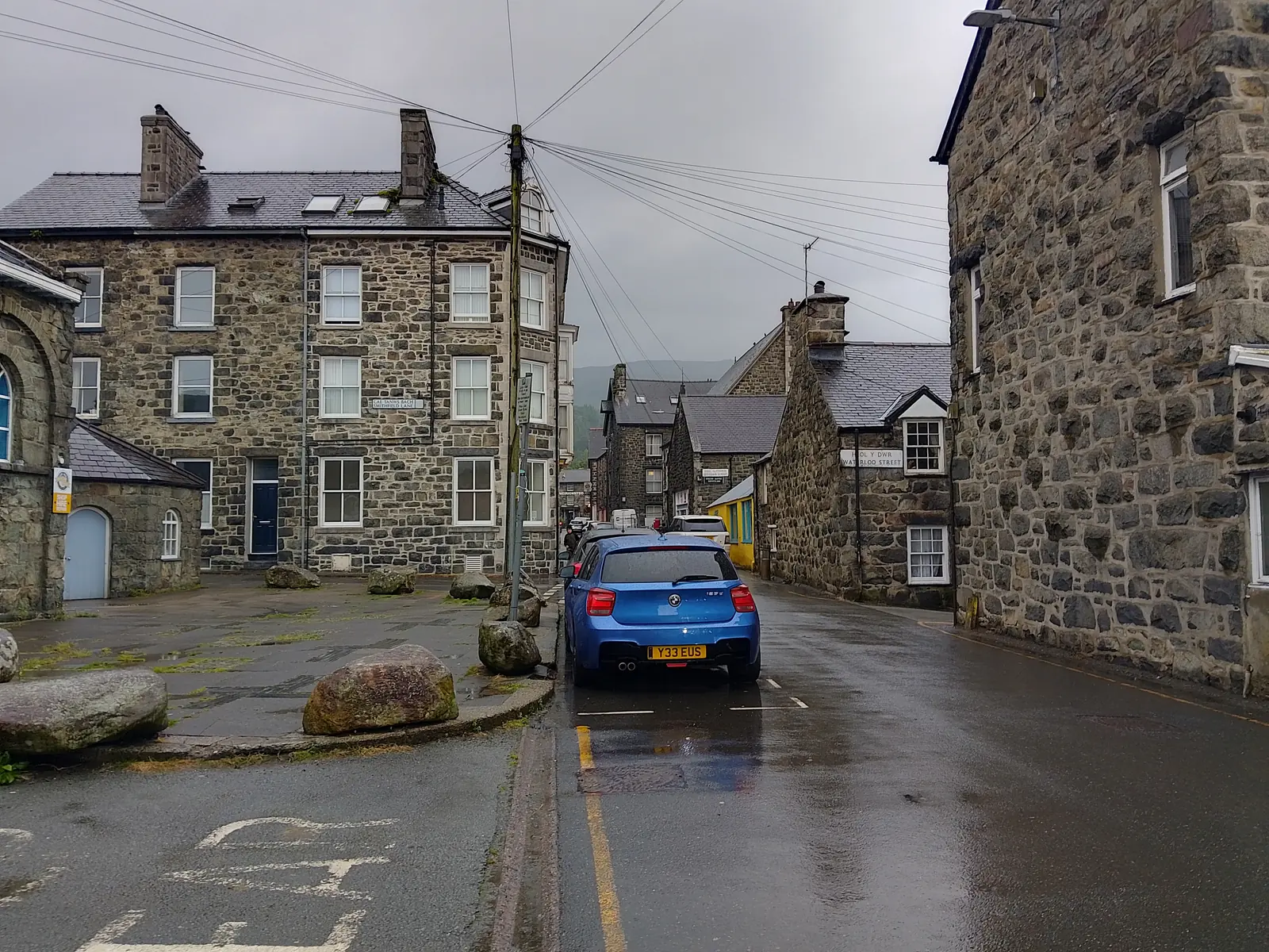
More listed buildings than any other town in Wales, and not one of them built for a visitor.
Atlas of Wales
04Plan
Tý Siamas and the town’s shops are the obvious starting point.
A short walk to the churchyard between Queen’s Square and Marian Road.
Down to the bridge and the old County Hall beside it, then back to the square.
Park, and start at Tý Siamas.
The churchyard between Queen’s Square and Marian Road.
The bridge and the 1825 court house beside it.
Follow the level path out from Y Marian. Turn back whenever suits, or keep going toward Penmaenpool and Barmouth.
Practical
Everything you need for arriving and getting around.
Getting here
On the A470 and A494 in southern Eryri. Gwynedd Council pay-and-display car parks serve the centre: Y Marian, by the Mawddach Trail start, is one of them.
Open Marian Mawr car park in Google MapsThe T3/T3C TrawsCymru service (Barmouth–Wrexham via Dolgellau, Bala and Corwen) calls at Eldon Square.
TrawsCymru T3 timetablePractical details
Two Cyngor Gwynedd car parks, both on Marian Mawr below the town: Y Marian Mawr by the river, where the Mawddach Trail starts, and a long-stay one at the enterprise park just west of it.
Check the Gwynedd Council car parks pageCharges and restrictions can change. Check the signs when you arrive.
Y Marian Mawr
Riverside · Mawddach Trail start
Google Maps (opens in a new tab)Marian Mawr Enterprise Park
West of the centre · long stay
Google Maps (opens in a new tab)Public toilets exist in the town centre; cafés, pubs and shops line Eldon Square and the streets around it.
Check the Gwynedd Council public toilets pageTown centre: exact location not confirmed here
Cafés, pubs and shops around Eldon Square and Bridge Street (category only: no business named here)
No dog-specific rule for the town centre or the Mawddach Trail was confirmed in this guide’s research.
Keep dogs under close control, especially on the shared-use Mawddach Trail where cyclists also pass.
Shared-use with cyclists: no reserve-specific dog rule was found
No specific rule confirmed: general courtesy applies
Everything in this guide is walkable from Eldon Square. The Mawddach Trail and the road up Cadair Idris both start at the edge of town, not the centre.
Use Dolgellau as a base
Four real Atlas destinations pair with a Dolgellau visit: the mountain above the town, the trail's other end, and the working forest and lake further into southern Eryri. Distances are straight-line from the town centre, not driving times.
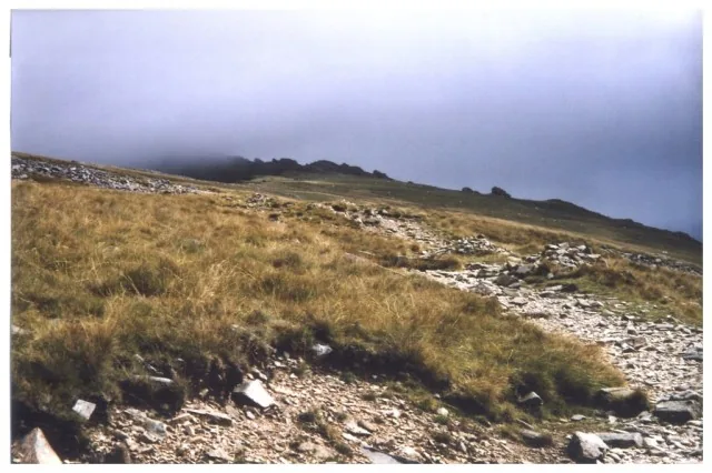
The 893 m mountain rising directly above the town: two official routes climb past Llyn Cau to the summit, both graded Hard/Strenuous.
About 3.2 miles south (straight-line)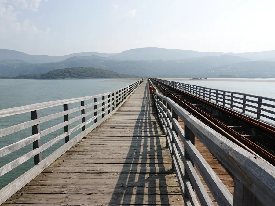
Where the Mawddach Trail ends: a seaside town holding the National Trust’s first-ever gift of land and one of Britain’s oldest timber railway viaducts.
About 7.3 miles west (straight-line)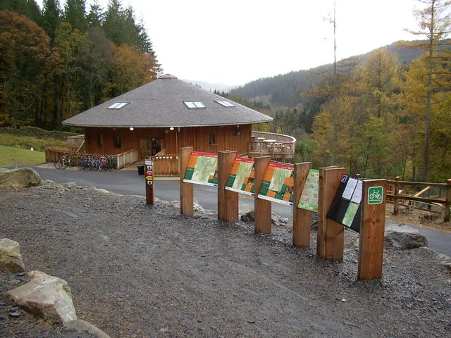
A 9,000-acre working forest and Britain’s first purpose-built mountain-bike forest, with waymarked walks to two waterfalls and a former gold mine.
About 5.6 miles north (straight-line)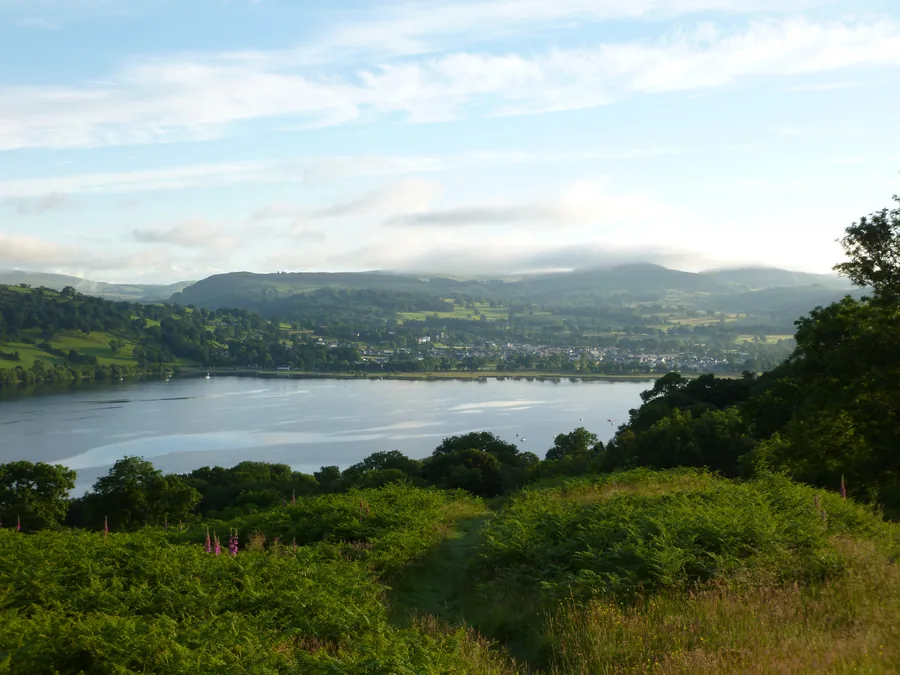
Wales’s largest natural lake, still managed as a working flood reservoir for the town of Bala on its own shore: a different kind of water to the Wnion.
About 14.3 miles north-east (straight-line)Before you go
More listed buildings than any Welsh town, and a bridge still carrying the road since 1638.