Llechwedd Slate Caverns & Zip World
Mine tours, zip lines and trampolines built directly into a working slate mine above the town.
Gwynedd · Slate Landscape of Northwest Wales
A slate-quarrying town built directly beneath the mountain it hollowed out, with the workings themselves now the reason to come.
01The town
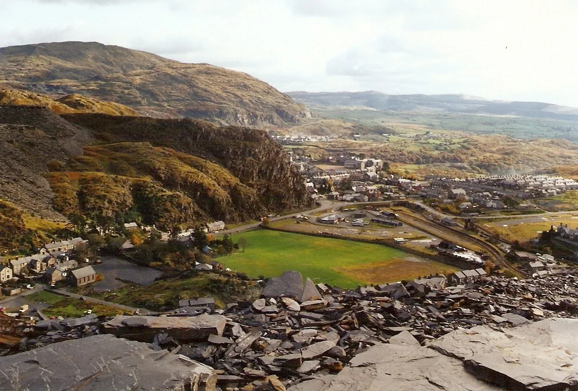
Blaenau Ffestiniog grew up directly around the slate quarries on the hillside above it. The town centre — the railway station, High Street, Sgwar y Parc — sits in the valley; the workings that built it rise just above, now home to Llechwedd’s underground tours and Antur Stiniog’s mountain-bike trails.
Nothing here was built to look like a slate town: it still is one. The tours run through real, two-century-old workings, not a reconstruction, and the same hillside now carries mountain-bike trails instead of loaded slate wagons.
Character
The quarries above the town shaped every street below them, and still shape what there is to do here: just with zip lines and bikes instead of slate wagons.
Pace
The station, High Street and Sgwar y Parc are a short walk apart. Llechwedd and Antur Stiniog sit up the hillside, a short drive from the centre.
Landscape
Snowdonia National Park runs right up to the edge of town, then picks up again on the far side: the one settlement its planners chose to leave out.
Best for
Best for anyone who wants to go inside a working mountain, ride a narrow-gauge railway, or take a mountain bike down a slope built for slate.
02Discover
Mine tours, zip lines and trampolines built directly into a working slate mine above the town.
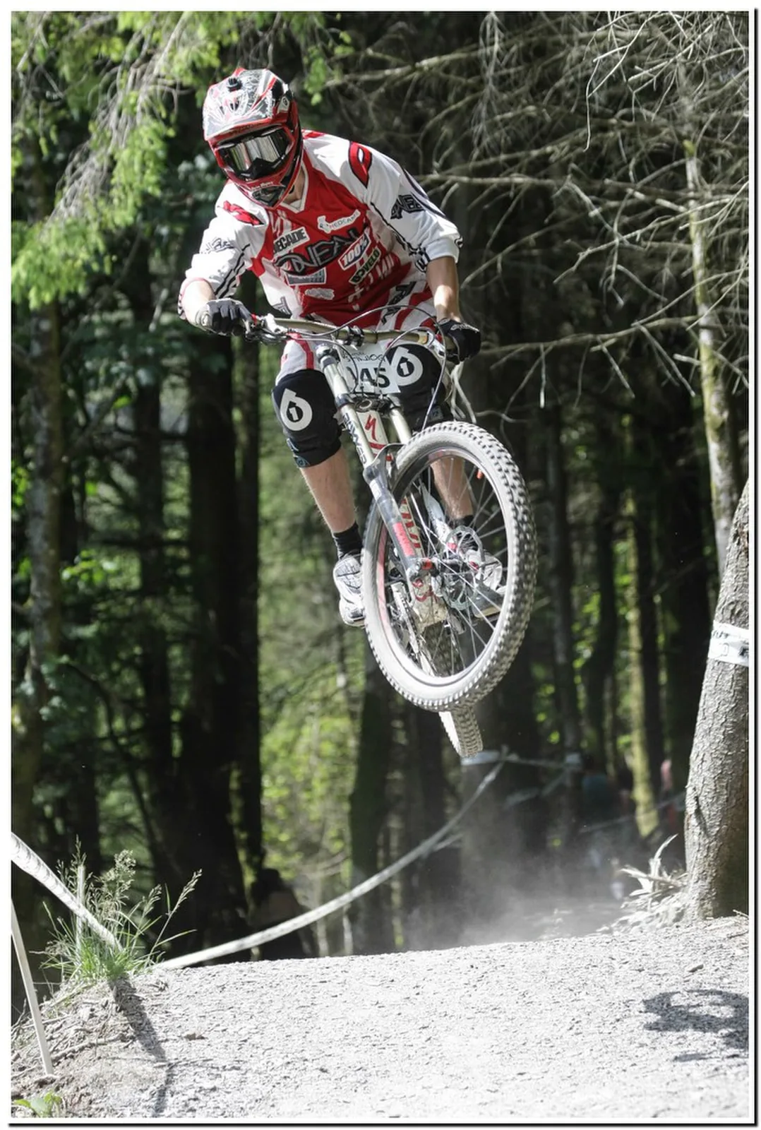
Fourteen graded downhill trails cut into the quarry hillside, with an uplift that turns a mountain into repeat descents.
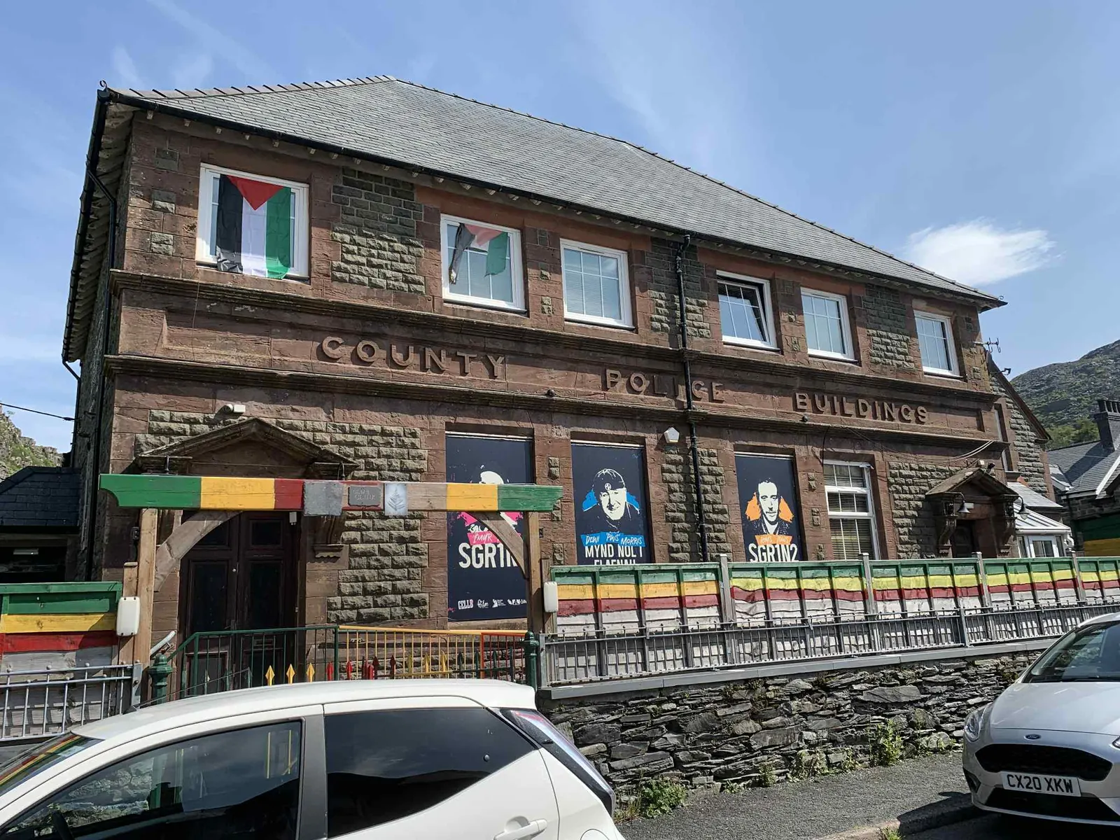
A former police station now running as a two-screen cinema, gig venue, hostel and pizza kitchen.
One platform set where a narrow-gauge slate line and the standard-gauge line to Llandudno both arrive.
Beyond the first defining moments, the fuller Blaenau Ffestiniog catalogue continues below.
The station, Sgwar y Parc and St David’s Church are all a few minutes’ walk apart in the valley centre; Llechwedd and Antur Stiniog sit up the hillside above, a short drive away.
No verified image yet
Blaenau Ffestiniog railway station
At the head of High Street, the shared platforms of the Ffestiniog Railway and the Conwy Valley Line.
Five things worth stopping for: the shared railway station, a redeveloped former police station, an underground slate mine turned adventure site, a downhill mountain-bike centre, and the town’s own Victorian church. No cafés, pubs or shops are listed by name. See Local life for the town’s everyday character.
Transport
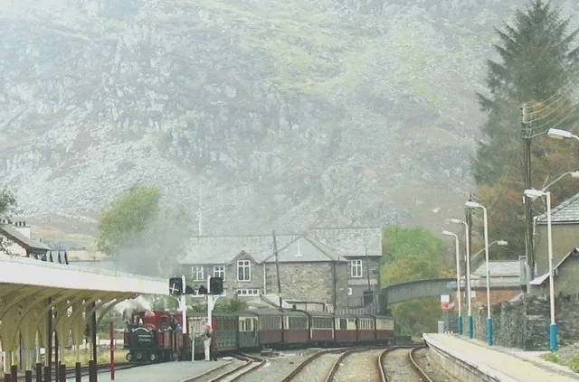
Two railways of different gauges share one set of platforms here: the slate line down to Porthmadog, and the year-round line to Llandudno Junction.
Check seasonal timetables (opens in a new tab)Streets & civic
The town’s most surprising building sits on its square: the former county police station, cells and all, now a two-screen cinema, gig venue and hostel.
Check what is on (opens in a new tab)Heritage & adventure attraction
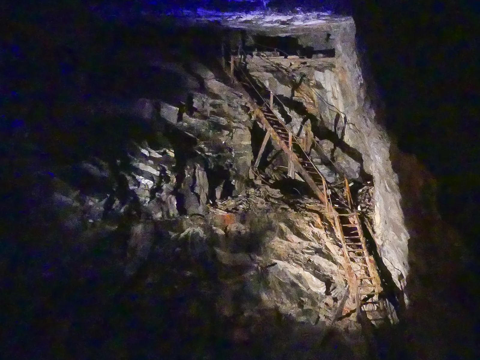
The caverns are real workings, not a reconstruction: underground mine tours through them, with trampolines and ziplines built into the same quarry.
Book tickets (opens in a new tab)Adventure attraction & trail
A community-founded downhill centre cut into the same quarry hillside, with fourteen graded trails. An uplift service does the climbing, so the day is all descents.
Book uplift and trails (opens in a new tab)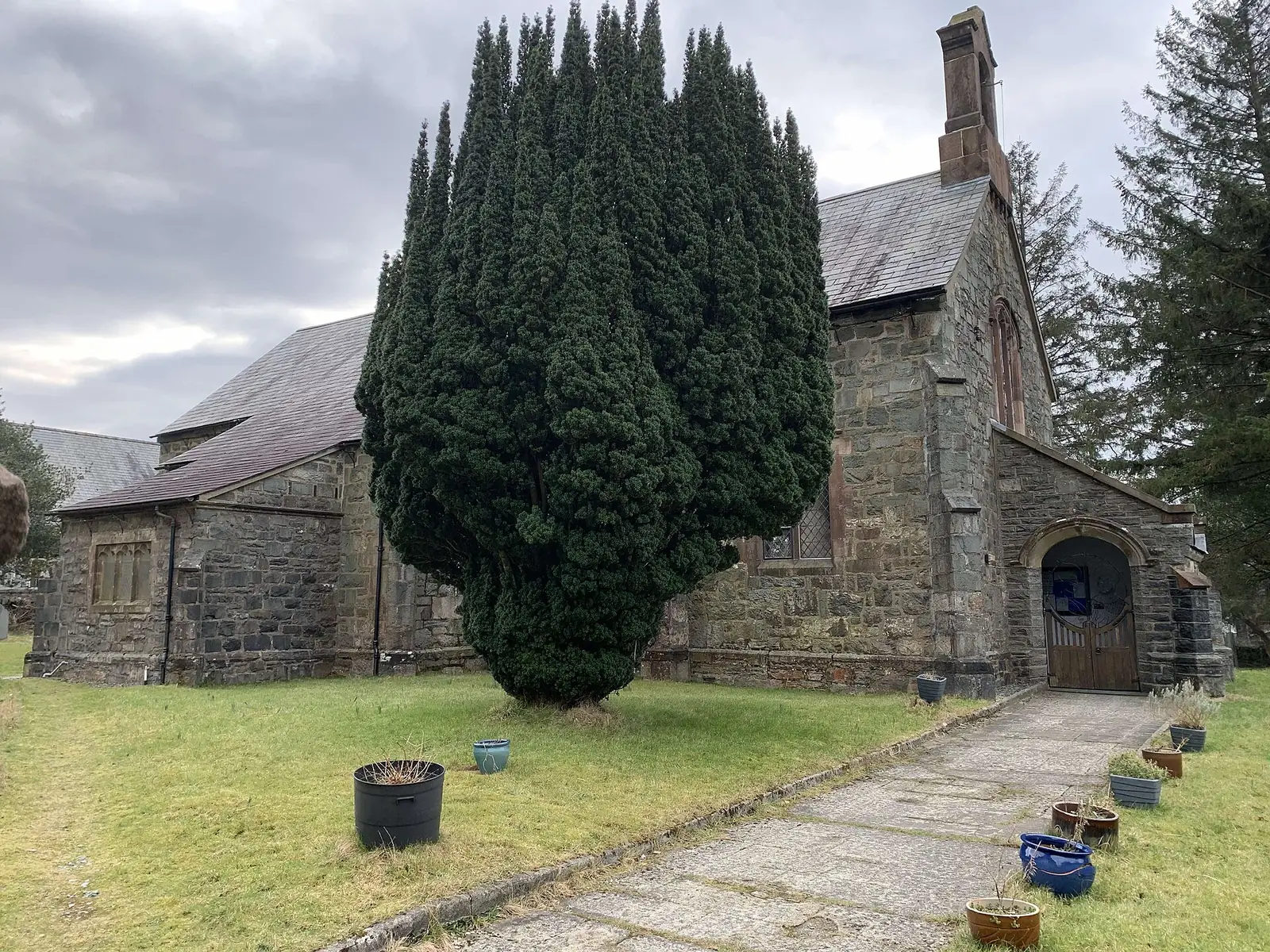
Working church
Built because the quarrying population outgrew the old parish church down the valley: a plain, working church rather than a showpiece.
Opening hours, booking systems and parking costs at Zip World and Antur Stiniog can change. Confirm before you build a day around either.
Zip World Llechwedd: current opening03Story
The name is generally explained as “the uplands of Ffestiniog.” Everything the town became after that — slate, a railway, a national-park boundary drawn around it, and a second life as an adventure town — happened on the same hillside.
Slate quarrying in the area began in the 1760s–80s and boomed through the 19th century. Oakeley Quarry, on the hillside above the town, grew into what was once the world’s largest underground slate mine: the industry that, as the Ffestiniog Railway itself puts it, meant the town “roofed the world.”
The narrow-gauge Ffestiniog Railway was built to carry slate down to the harbour at Porthmadog. The industry declined sharply after a recession in the 1890s; the railway itself now carries passengers instead of wagons, seasonally, along the same route.
When Snowdonia National Park was created in 1951, its planners deliberately drew the boundary around Blaenau Ffestiniog, leaving the town and its grey quarry tips outside: judged too industrial for inclusion at the time. Later proposals to bring it into the park have not gone ahead; the town remains the one settlement of its kind inside Eryri that the park does not actually contain.
During the Second World War, the National Gallery moved paintings out of London and into the Manod slate quarry above the town, where they stayed safe for around four years before returning after the war. Manod itself has no public visitor access: the story belongs to the town, not to a place you can walk into.
Llechwedd’s Miners’ Tramway opened to the public in 1972 and the Deep Mine tour in 1979; Zip World and Antur Stiniog followed decades later on the same hillside. In 2021 the wider Ffestiniog quarrying district was inscribed, alongside five other areas, as the UNESCO Slate Landscape of Northwest Wales: Wales’s fourth World Heritage Site.
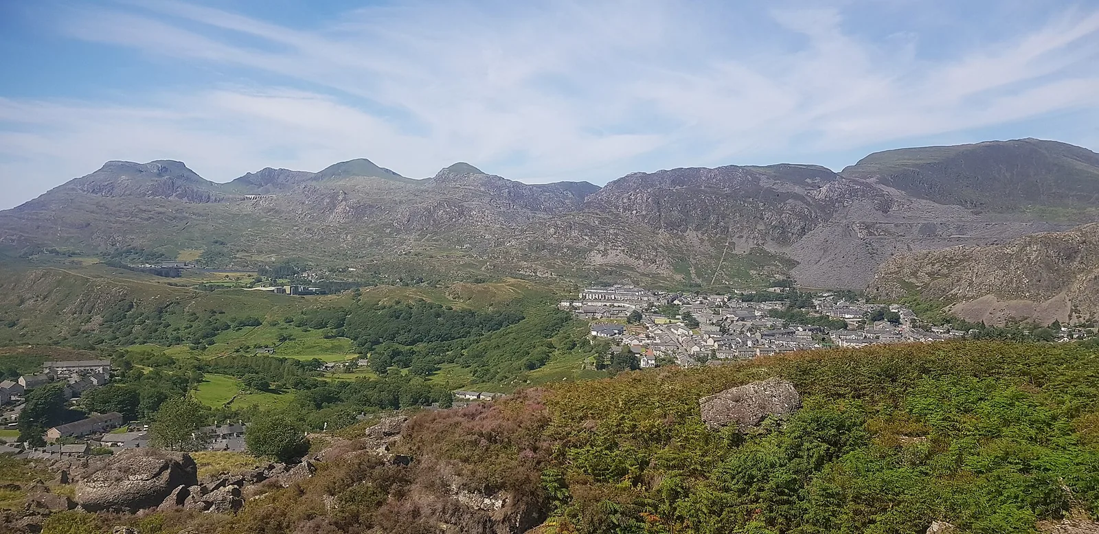
The quarry that once sent slate wagons down this hillside now sends mountain bikes down it instead.
Atlas of Wales
In the 2011 census 78.6% of Blaenau Ffestiniog’s residents reported being able to speak Welsh: among the highest rates recorded anywhere in Wales. Welsh is the working language of the streets and the shops here, not a visitor-facing extra.
Locals shorten the town’s own name to “Stiniog”: you’ll see it on Antur Stiniog’s own signage and on Cellb’s Pizza Stiniog kitchen before you hear anyone say it. It is a working town first, and an adventure-tourism base second.
“Stiniog” is the name to listen for: it turns up in business names across the town, from the mountain-bike centre to the pizza kitchen at Cellb.
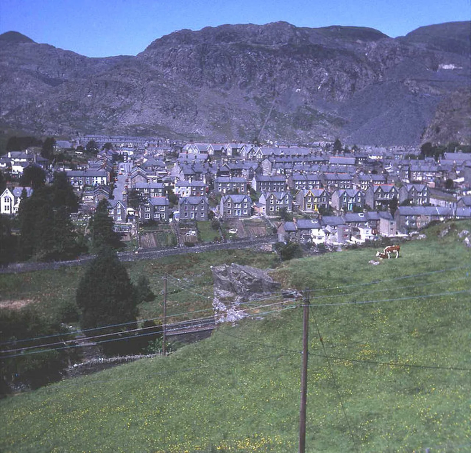
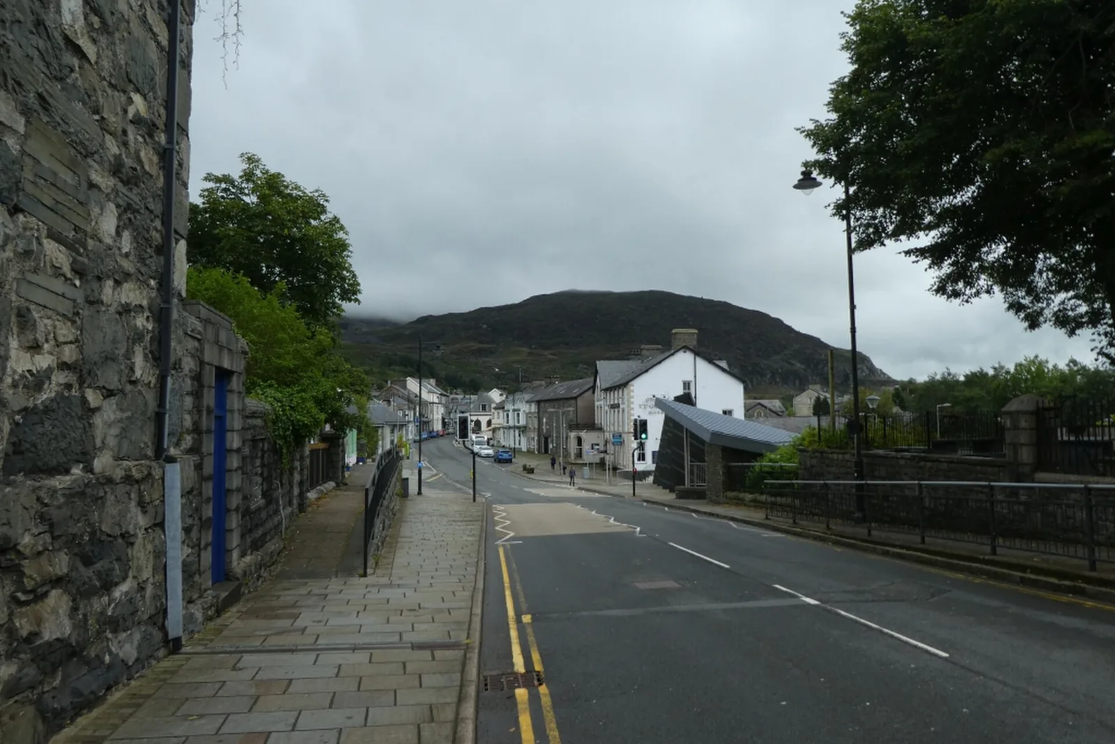
Shops and everyday businesses run through the centre: working streets for the people who live above them, not a parade for visitors.
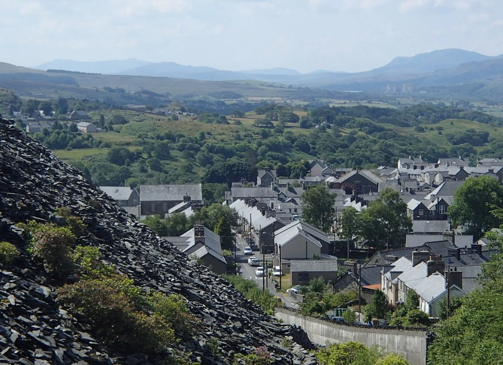
Every street below sits in the shadow of the quarries that built the town: you’re never far from a reminder of what the place actually is.
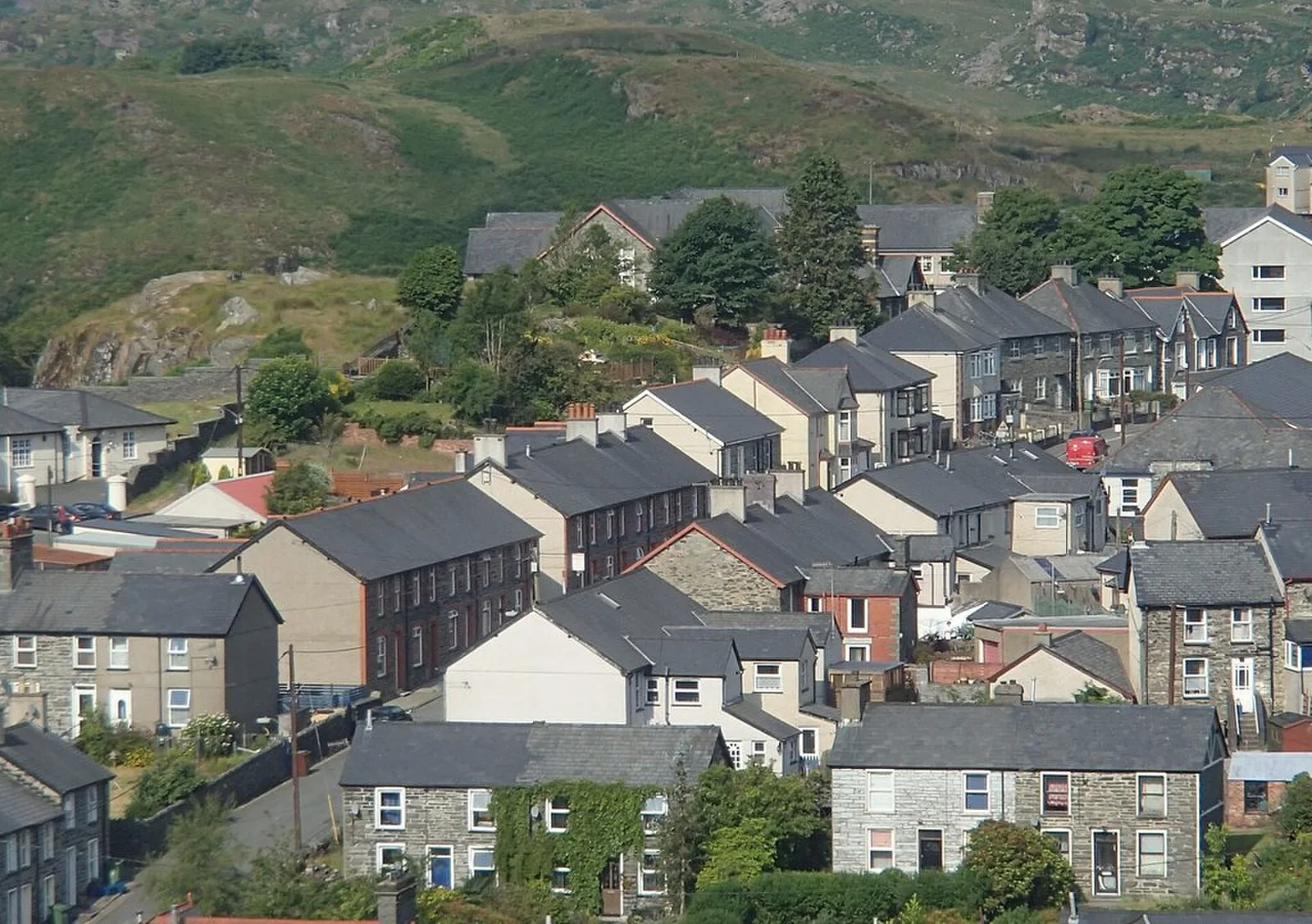
Past the centre, terraced quarrymen’s housing climbs the hillside in rows: most of the town is this, and it is the half a day visitor rarely sees.
A working town, not a museum piece
The station platforms, a public slate sculpture, St David’s Church and Cellb all sit within a few minutes of one another: the everyday town between the headline attractions above it.
Plan your time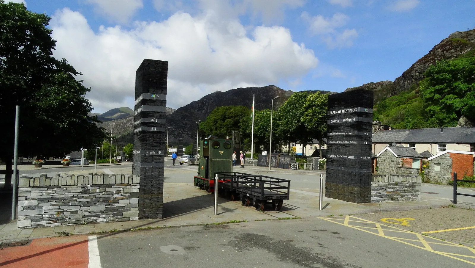
Stiniog: the name locals actually use, shortened from the town’s own.
Atlas of Wales
04Plan
The shared platforms of the Ffestiniog Railway and the Conwy Valley Line, at the head of High Street.
The town’s working centre, on the way to the square.
The town’s square, and the former police station now running as a cinema and hostel.
Start as above, down to the square.
West along Church Street to the town’s own 1842 parish church.
Church Street’s slate sculpture, and the terraces climbing the hillside.
From the town, the hillside that Llechwedd and Antur Stiniog sit on: the reason the town exists.
Arrive by car or by train, and see the town centre first.
Llechwedd’s underground tours or Zip World’s zip lines and trampolines. Book ahead.
Fourteen graded downhill trails, uplifted, on the same hillside.
Late March to October, the Ffestiniog Railway carries on down to Porthmadog and the coast.
Practical
Everything you need for arriving, booking, and getting around.
Getting here
On the A470, between Betws-y-Coed and Dolgellau. Llechwedd and Antur Stiniog each have their own paid, on-site car park.
Open Zip World Llechwedd in Google MapsThe Ffestiniog Railway runs seasonally (late March–October) to Porthmadog; Transport for Wales runs the Conwy Valley Line year-round, from the same shared station.
Check current timetablesPractical details
Two Cyngor Gwynedd car parks in the town: Diffwys off the High Street, and the Station car park by Rawson Square. Llechwedd and Antur Stiniog, up the hill, each run their own on-site parking for visitors to the site.
Check Cyngor Gwynedd’s car parks and charges Check Zip World Llechwedd’s own parkingCharges and restrictions can change. Check the signs when you arrive.
Diffwys
Town centre · off the High Street
Google Maps (opens in a new tab)Station
By the station · High Street
Google Maps (opens in a new tab)Both headline activities recommend advance booking: walk-up availability is not guaranteed.
Book Zip World LlechweddBooking strongly recommended; arrive 30 minutes before your start time
Uplift access is booked by phone or online
Toilets and a café are on site at Zip World Llechwedd; cafés also run at Antur Stiniog and at Cellb.
No source checked confirms a dedicated public toilet block in the town centre itself: the attractions’ own facilities are the confirmed option.
On site at Zip World Llechwedd
On site at Antur Stiniog
At Cellb, Park Square, in the town centre
Stick to the operated tourist attractions: the wider hillside carries disused, unmanaged slate workings with no public access.
Manod quarry, famous for its WWII National Gallery story, has no public visitor access: it is not a place to walk into.
Llechwedd, Zip World and Antur Stiniog are managed, staffed sites: this is where to go underground or downhill
Disused quarry workings elsewhere on the hillside are not managed for visitors
The station, High Street, Sgwar y Parc and St David’s Church are all walkable from the station. Llechwedd and Antur Stiniog are a short drive up the hillside.
Use Blaenau Ffestiniog as a base
Four real Atlas destinations pair with a Blaenau Ffestiniog visit: a mountain, a village, an Italianate village, and the town at the other end of the Ffestiniog Railway. Distances are straight-line from the town centre, not driving times.
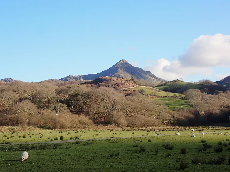
The pointed ridge nicknamed the Welsh Matterhorn: the nearest mountain to town, reached from the Croesor side of the valley.
About 3.4 miles west (straight-line)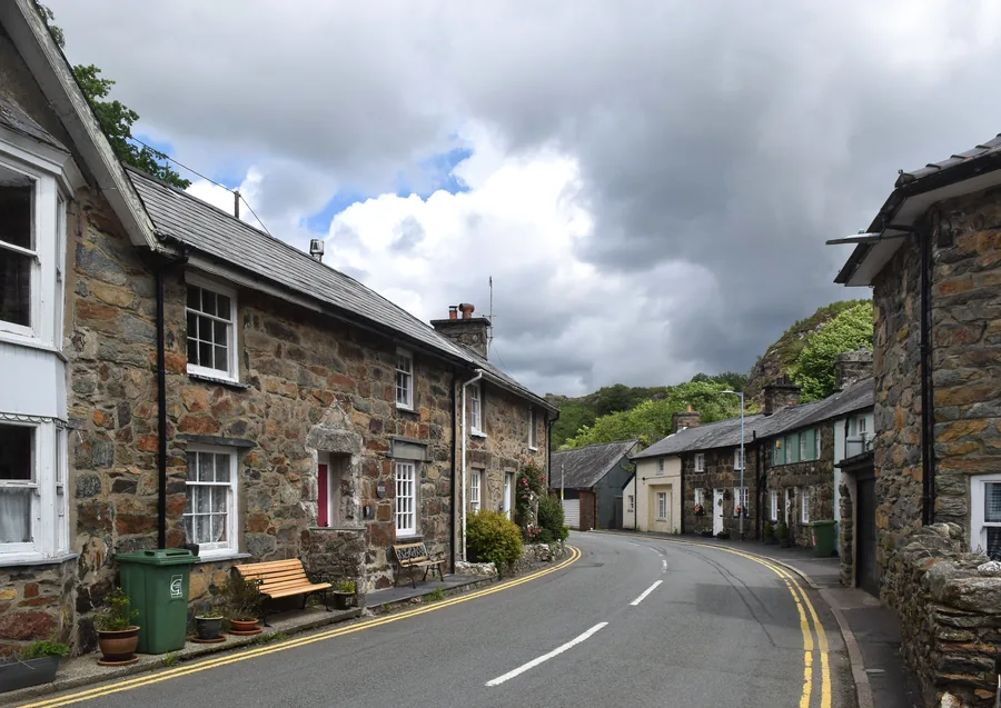
A stone village at the meeting of two rivers, in the heart of Eryri: the National Park Blaenau Ffestiniog sits just outside.
About 7.1 miles west (straight-line)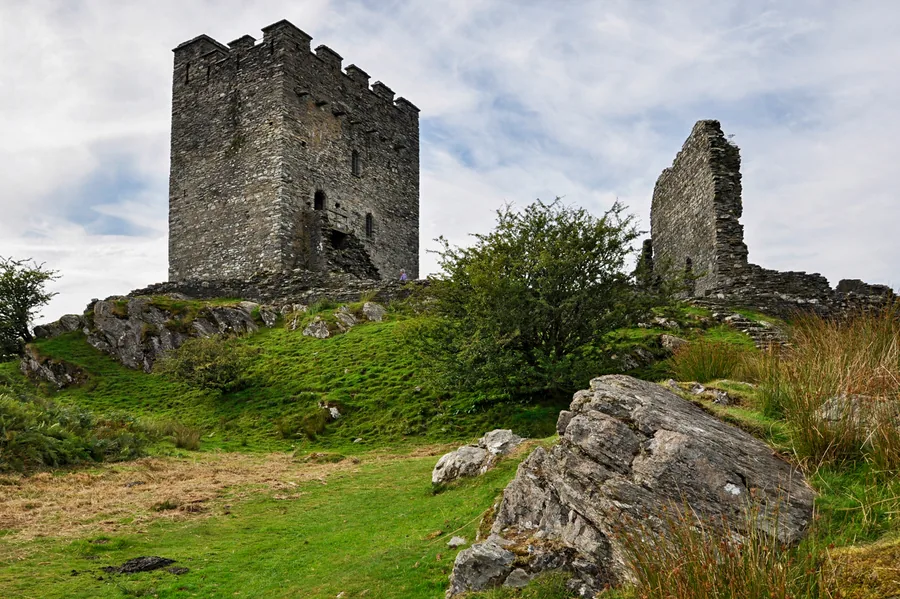
A Lledr valley village under Moel Siabod, with Llywelyn’s keep alone on its rock to the west.
About 4.6 miles north-east (straight-line)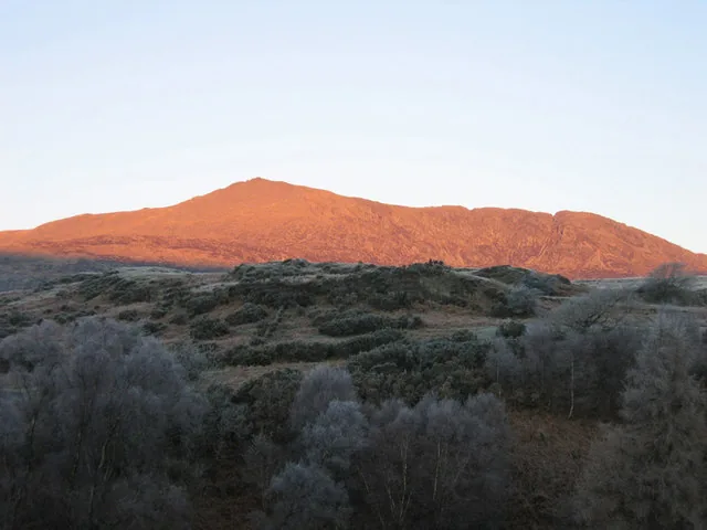
An 872 m summit above Capel Curig: a hands-on scrambling ridge and a gentler shoulder.
About 5.4 miles north (straight-line)Before you go
Book ahead, and the quarry that once roofed Britain will take you underground or downhill instead.