Dolbadarn Castle
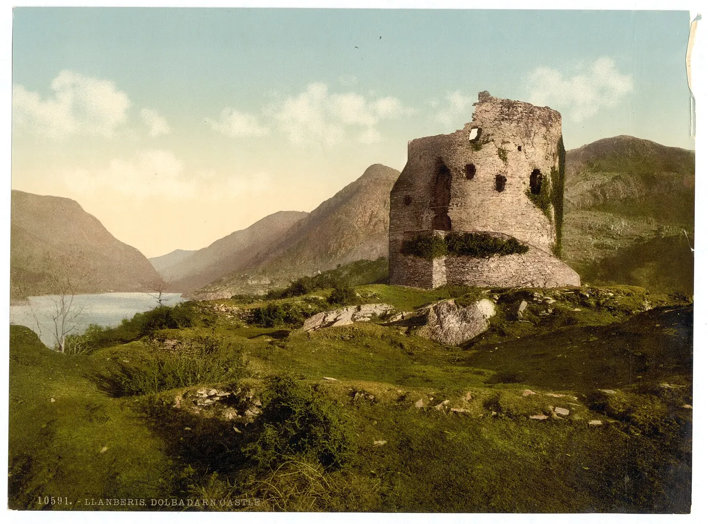
A round tower standing above Llyn Padarn, free to walk into, at the end of a short farm track.
Gwynedd · Llyn Padarn
The slate village built by the quarry that once climbed the mountainside above it, and now the start of the busiest path up Snowdon.
01The village
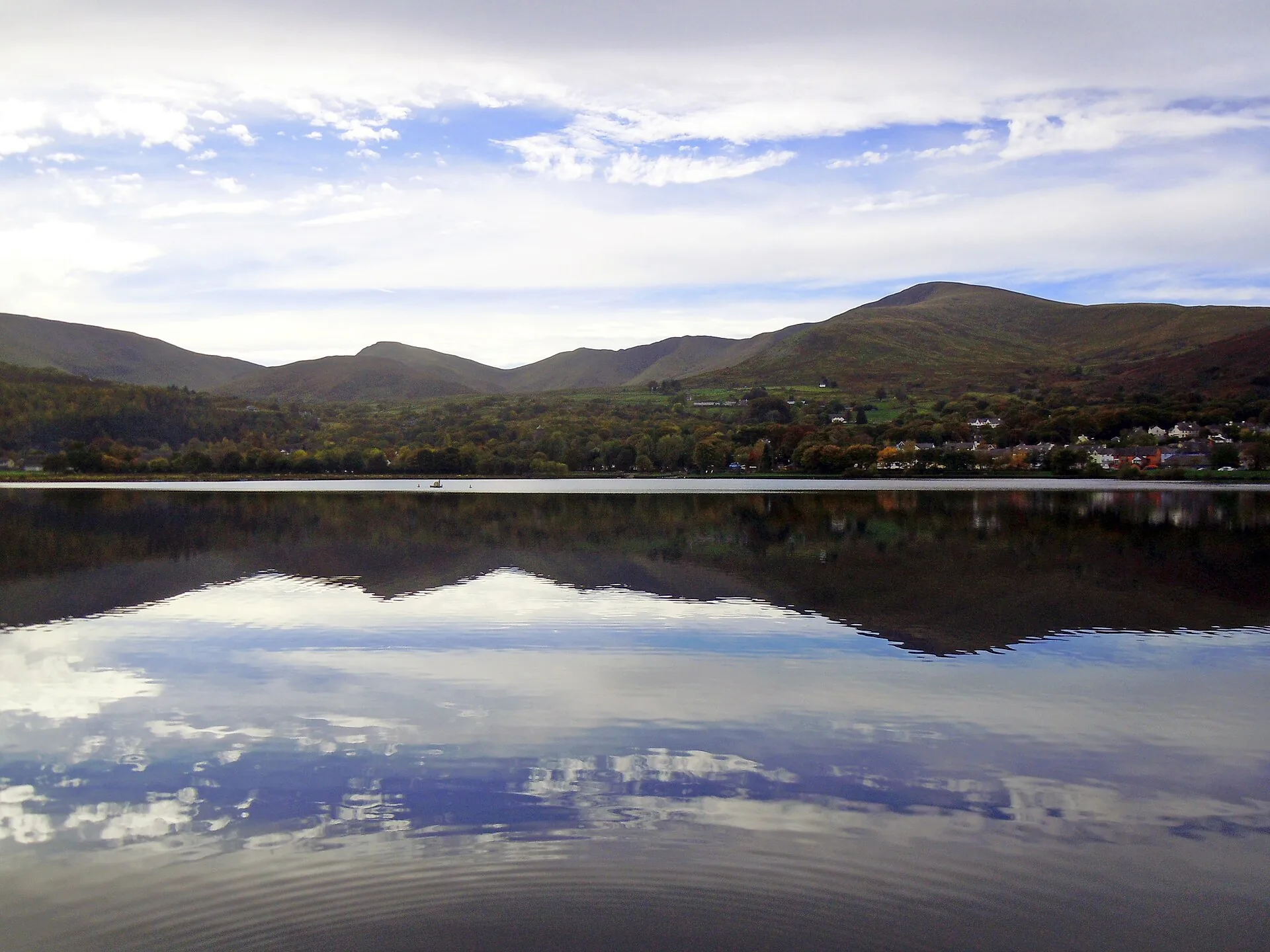
Llanberis sits on the southern shore of Llyn Padarn, at the foot of Yr Wyddfa: a village built almost entirely by the Dinorwig slate quarry that once climbed the mountainside above it. Dolbadarn Castle looks down the lake from its own rise; the High Street runs between the water and the mountain railway station; and Padarn Country Park now covers the quarry’s old ground.
Two separate heritage railways leave from within a few hundred metres of each other here — one along the lake, one to the summit of the highest mountain in Wales — and neither existed before the slate did.
Character
Llanberis grew up around the Dinorwig quarry, not around visitors. The castle, the church and the old quarry buildings all answer to that one industry.
Pace
The High Street and the lake shore are a short, flat walk apart. Everything else — the waterfall, the castle rise, the quarry terraces — means going up.
Landscape
Llyn Padarn fills the foreground and the Llanberis Pass carries the road east; Yr Wyddfa itself rises out of sight behind the village until the railway climbs above the rooftops.
Best for
Best for a lakeside walk, a train ride (or two), and anyone about to start the Llanberis Path up Yr Wyddfa.
02Discover
A round tower standing above Llyn Padarn, free to walk into, at the end of a short farm track.
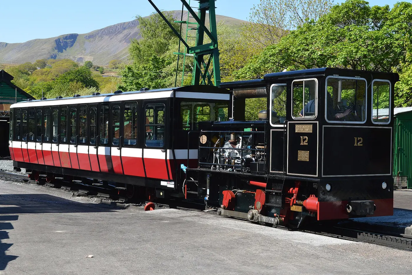
A rack railway that climbs from the village to the summit of the highest mountain in Wales, without walking.
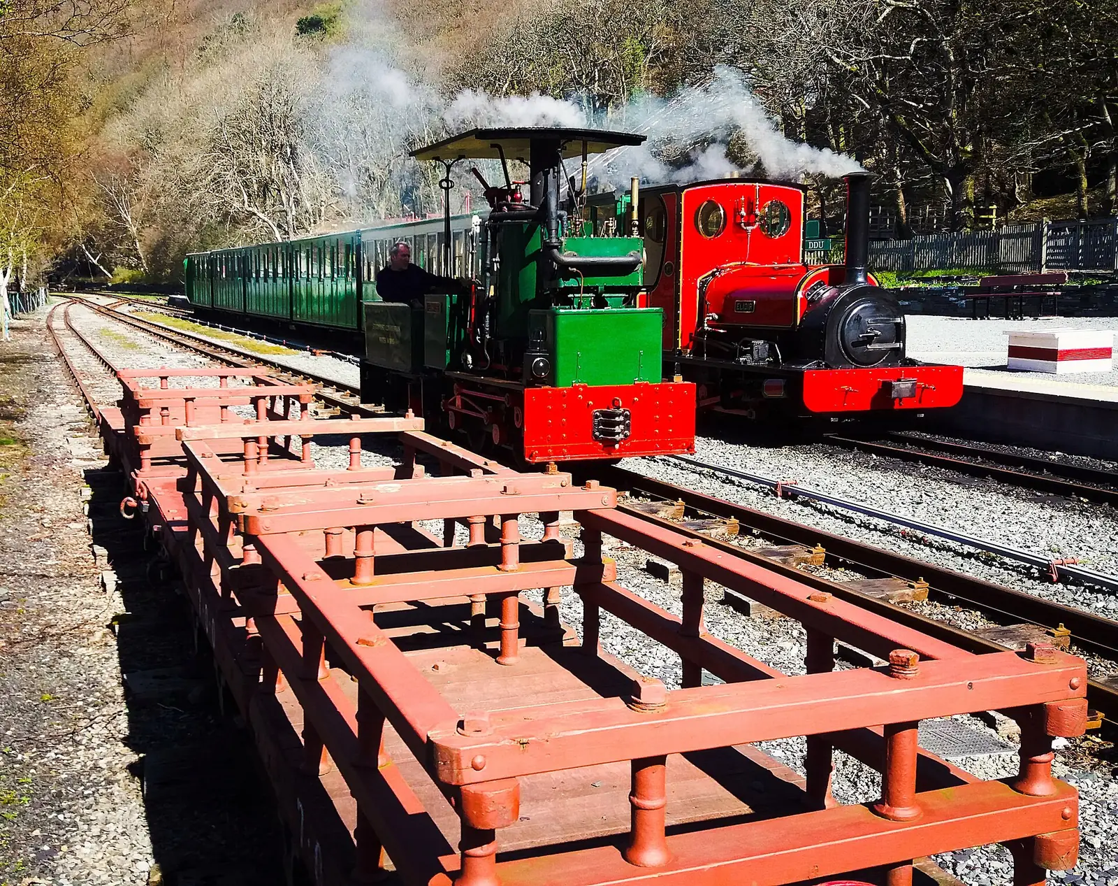
A narrow-gauge line running along the shore of Llyn Padarn from the old quarry workshops back into the village.
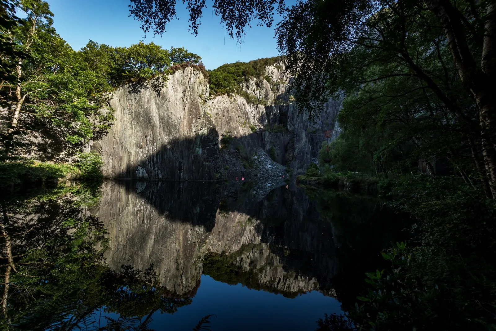
Old quarry ground and ancient oak woodland wrapping the lake, including a flooded quarry now used for diving.
Beyond the first defining moments, the fuller Llanberis catalogue continues below.
Eight destinations, each placed exactly where it stands: from Dolbadarn Castle on the lake shore to the Vivian Quarry dive site and St Padarn’s Church on the High Street.
No verified image yet
Dolbadarn Castle
On a rise above the lake, a short walk from the pay-and-display car park opposite; tracks can be muddy.
Eight things worth stopping for: a free castle, two heritage railways, a flooded quarry turned dive site, a country park, a dramatic (and dangerous) waterfall, and the village’s own Victorian church. No pubs, cafés or shops are listed. See Local life for the village’s everyday character.
Free · Cadw
A native Welsh round tower on a rise above Llyn Padarn, commanding the pass between the two lakes. Free to enter, up a farm track that can be muddy.
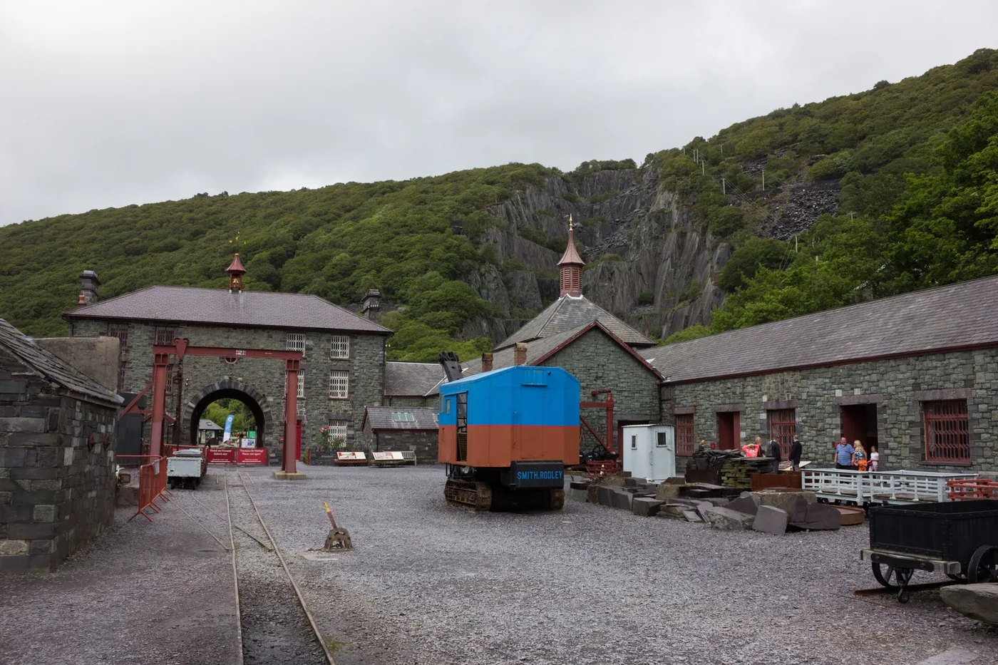
Closed for redevelopment
The Dinorwig quarry workshops, where the raw material of Welsh identity was cut and dressed. The main building is closed for redevelopment. Check before travelling.
Check what is open (opens in a new tab)Booking recommended
The only way to reach the top of Yr Wyddfa without climbing it: a rack railway from the village station to the summit visitor centre.
Check timetables and book (opens in a new tab)Dog-friendly
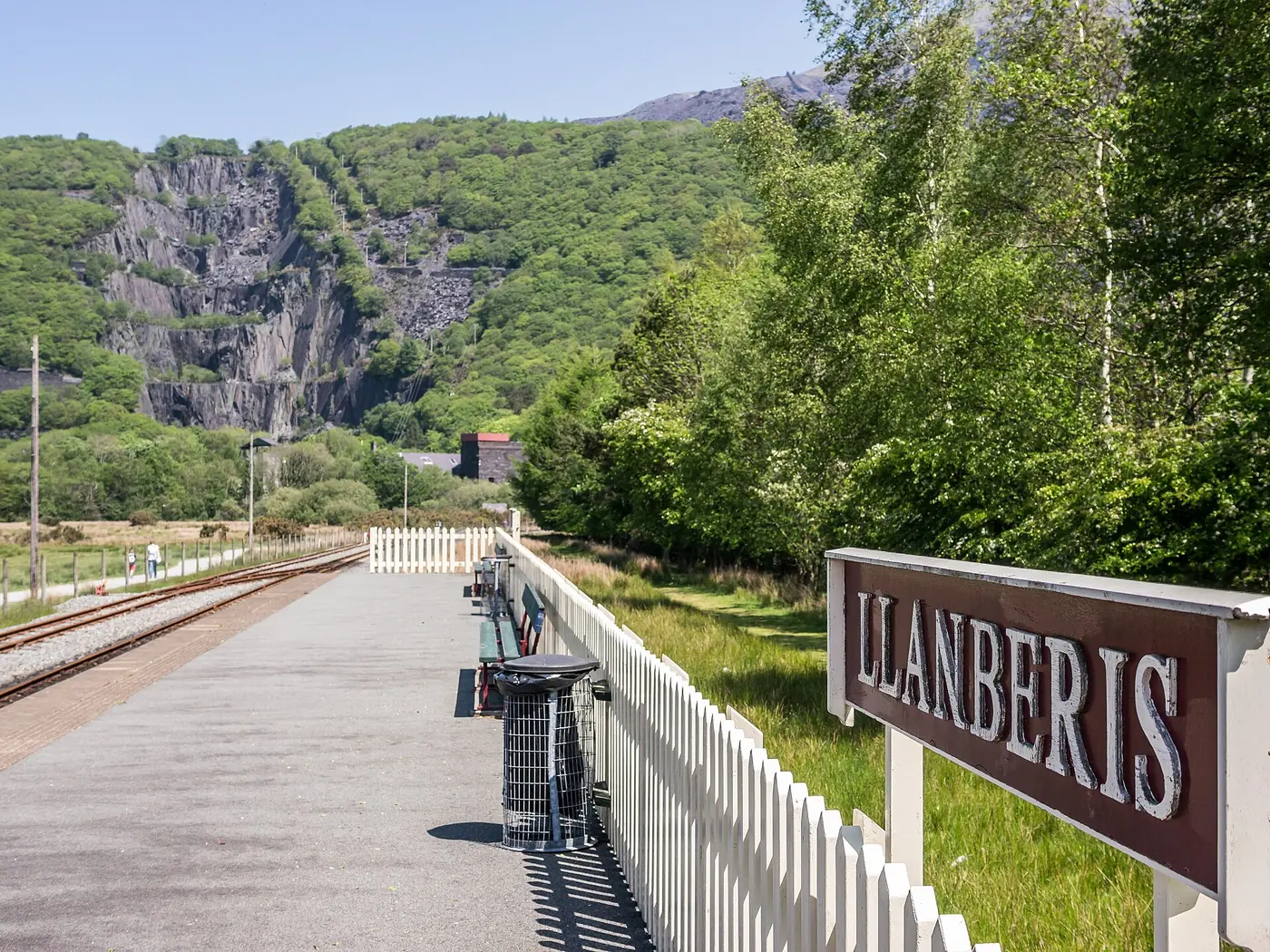
The gentler and cheaper of Llanberis’s two railways, running on the quarry’s own track along Llyn Padarn. Currently shortened while cable work goes on.
Check timetables and fares (opens in a new tab)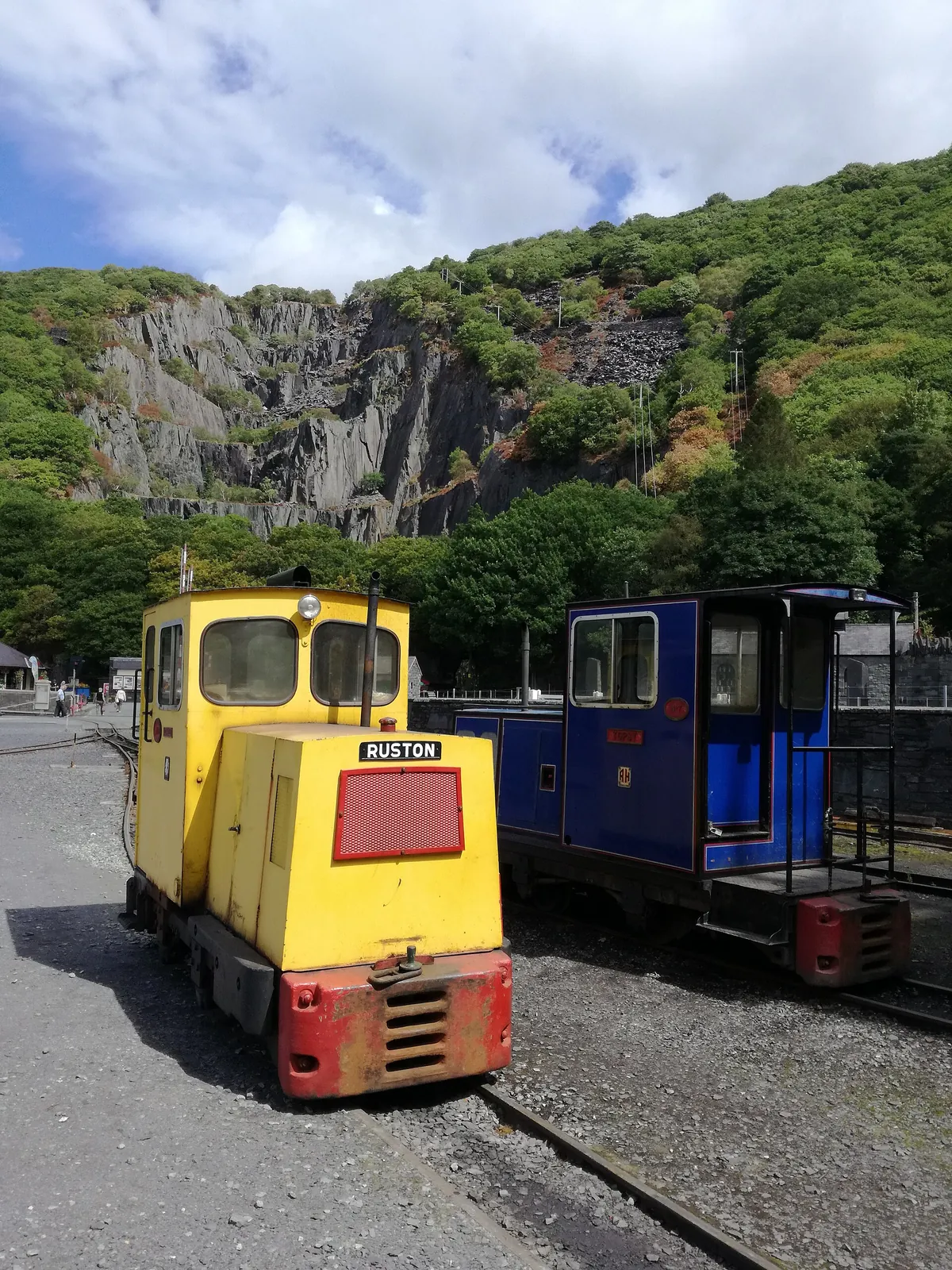
Free
The park that absorbed the industry the village was built on: eight hundred acres of former quarry ground and ancient oak wood around the lake.
Safety caution
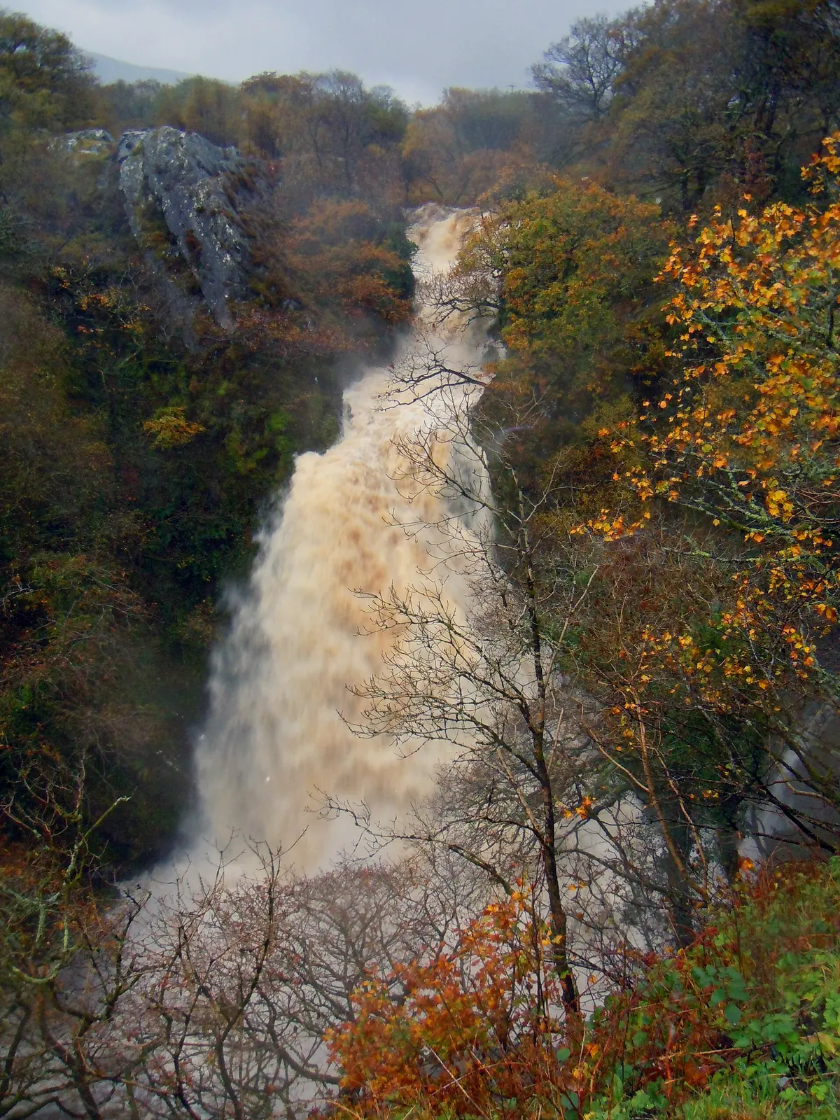
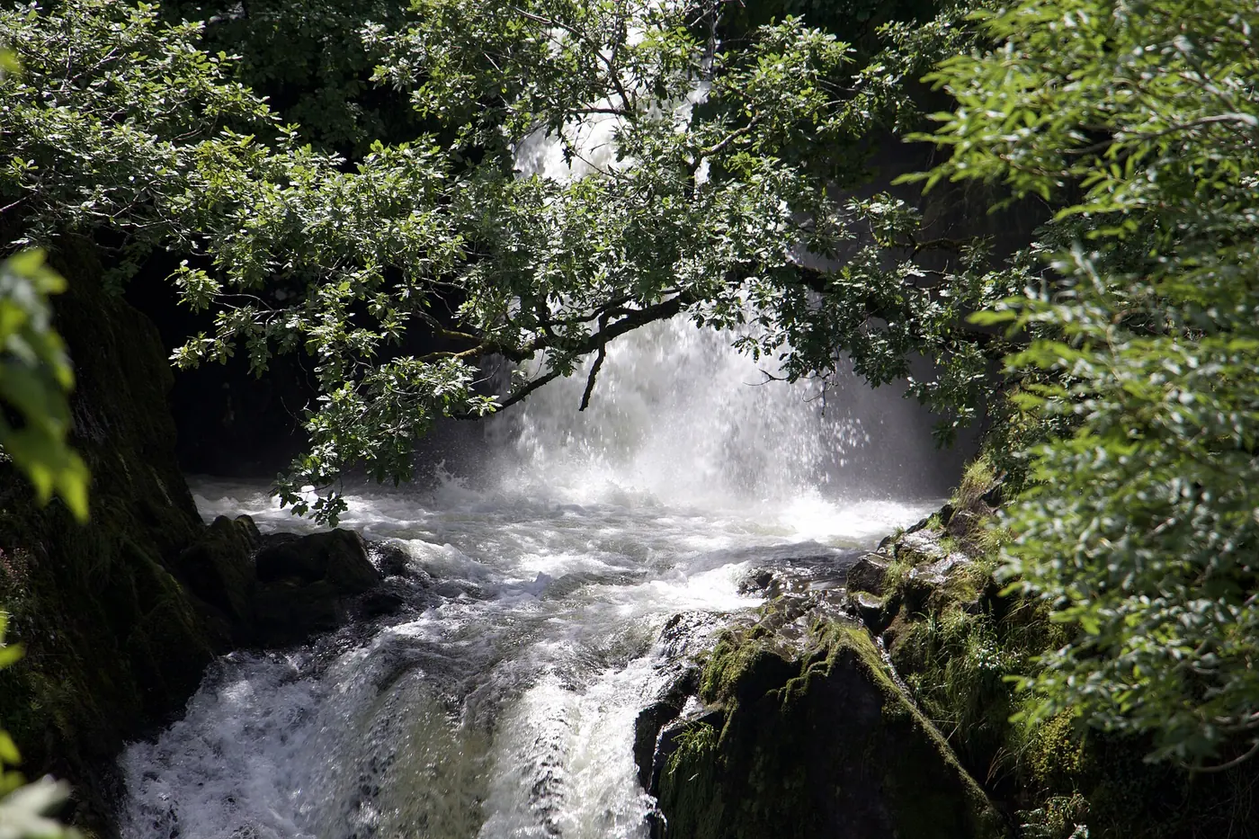
A two-stage waterfall in a wooded gorge, minutes from the High Street. Dramatic from the marked viewing area, and people have drowned going closer.
Diving & climbing
A flooded slate quarry with vertical rock on three sides and clear water at the bottom, worked now by divers and climbers rather than quarrymen.
Grade II* listed
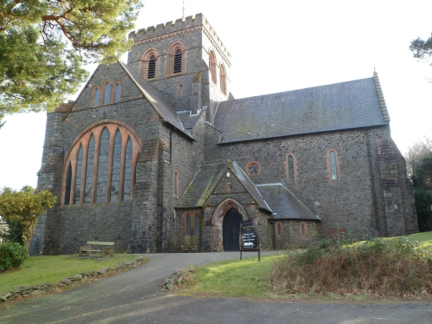
The village is named for St Peris, and its parish church is dedicated to St Padarn instead: a small mismatch that says something about how Llanberis grew.
The museum’s reopening date, the Lake Railway’s service pattern, and car-park tariffs can all change. Confirm before you build a day around any of them.
Snowdon Mountain Railway: current timetable03Story
Llanberis carries four identities at once: a saint’s name that doesn’t match its church, a medieval castle, a Victorian quarrying industry, and the modern business of getting people up a mountain.
The village takes its name from Saint Peris — “llan” plus a soft-mutated form of his name — even though the Victorian parish church built here is dedicated to St Padarn instead. Llyn Peris, the smaller lake south-east of the village, keeps the original saint’s name too.
Llywelyn ap Iorwerth built the round tower at Dolbadarn in the late 12th or early 13th century, commanding the pass between the two lakes: one of the finest surviving towers of its kind in Wales.
For over a century, Dinorwig quarry — on the mountainside above the lake — was the reason Llanberis existed. St Padarn’s Church itself was funded by the Assheton Smith family, who owned the rights to the slate being cut out of it.
The Victorian slate trade left Llanberis two working railways: the mountain line to the summit, and the narrow-gauge line along the lake, built to move stone and now carrying visitors instead.
Under the slopes above the village, Dinorwig Power Station — built between 1974 and 1984 — can reach 1,800 megawatts from a standing start in about sixteen seconds: a second, hidden industry built into the same ground the quarry once cut into.
Llyn Peris keeps the saint’s name the village itself later dropped.
Atlas of Wales
The 2021 census recorded 2,023 residents, with 69.5% of those aged three and over reporting they could speak Welsh: among the higher proportions in Gwynedd. Llanberis is not arranged for visitors in the way a purpose-built resort is; the castle, the quarry buildings and the railways all began as working infrastructure, not attractions.
What that means on the ground is a village that still runs on two industries at once: the heritage trade the railways and the museum site now represent, and the ordinary business of a place people live in.
Visitors report the pay-and-display car park nearest the Snowdon Mountain Railway station as pricier than others a short walk further out: worth a look before you commit to the first space you see.
Llyn Padarn is a dog walk and a lunch break as much as a beauty spot: Padarn Country Park's trails are used daily by people who live here, not only by visitors.
The old quarry buildings and locomotive yard at Gilfach Ddu are still there, in daily use as a heritage site rather than a working quarry.
Both railways still run, connecting the village to the lake and the mountain: the same routes the quarry once used to move stone.
Two industries, one village
Llanberis has never really had one identity. It was a quarrying village, then a railway village, then — almost by accident — the start of the busiest walking route up the highest mountain in Wales. All three are still visibly true at once.
Plan your time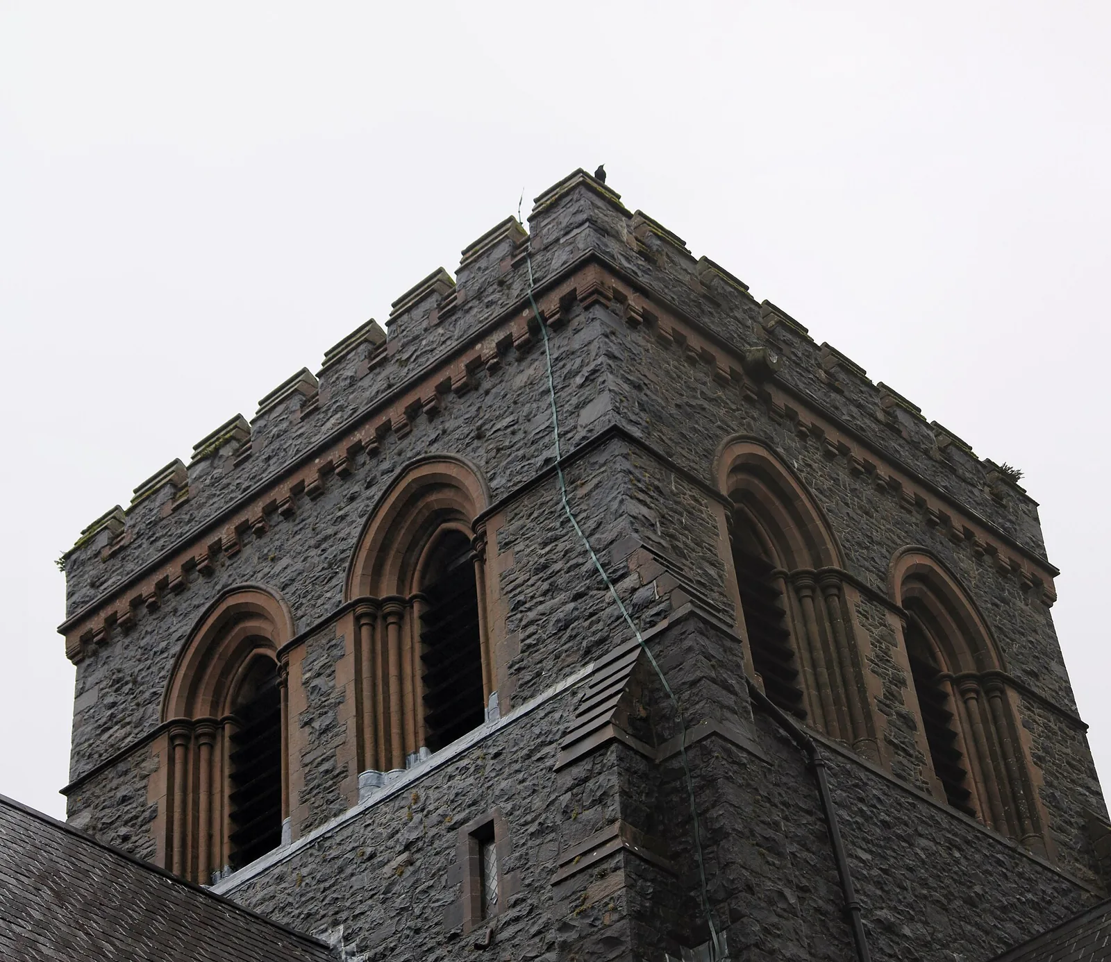
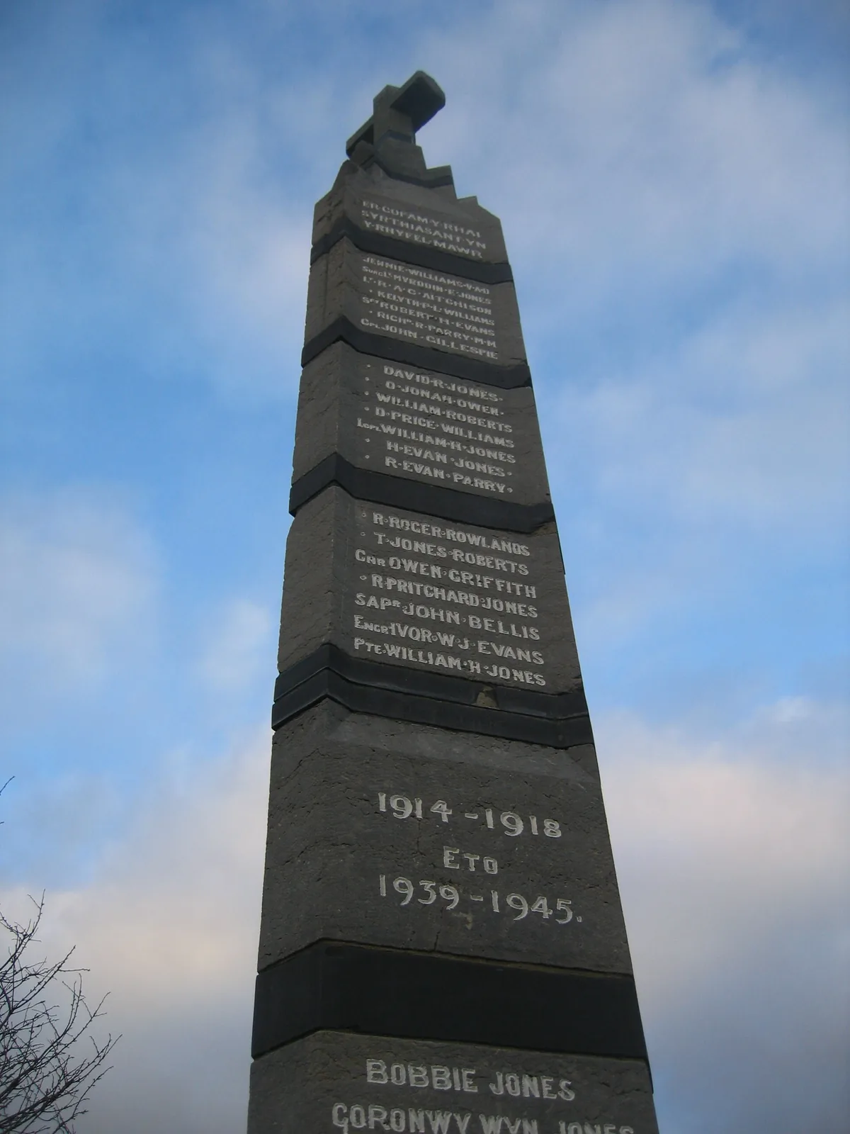
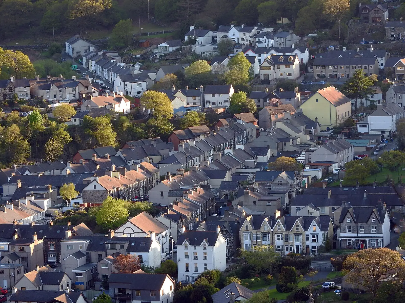
The mountain that once gave up its slate now quietly makes the country’s electricity instead.
Atlas of Wales
04Plan
Several separately-run car parks serve the village; the one opposite Dolbadarn Castle is the obvious start.
The walk in is 10–25 minutes on farm tracks; free to enter, dogs on short leads.
Return via the lake edge, with Padarn Country Park's woodland on your left.
Park near the Snowdon Mountain Railway, or arrive by Sherpa’r Wyddfa bus.
Shops and cafés between the station and the lake: the Atlas names none of them.
Free entry, a short walk from the pay-and-display car park.
Gilfach Ddu's quarry buildings, and the trailheads for the park's woodland walks.
The short return trip from Gilfach Ddu to the village: dogs welcome, 50p a ticket.
Booked ahead: the journey to Hafod Eryri and back takes the middle of the day.
A short, free stop between the railway and the park.
The woodland trails and the flooded quarry, at whatever pace is left in the day.
A short walk from the High Street to finish: view the fall, don’t approach the water.
Practical
Everything you need for arriving and getting around.
Getting here
On the A4086 through the Llanberis Pass, or via Caernarfon and the A4086/A4244. Several separately-run pay-and-display car parks serve the village, plus free on-site parking at Padarn Country Park.
Open the Padarn Country Park car park in Google MapsThe Sherpa’r Wyddfa network — run jointly by Conwy and Gwynedd councils, Transport for Wales and Eryri National Park Authority — connects Llanberis to Pen-y-Pass, Nant Peris and other Snowdon trailheads.
Check current times & faresPractical details
Padarn Country Park runs two of them — Gilfach Ddu by the Slate Museum and Dolbadarn on the A4086 opposite the castle, both pay-and-display by machine or the PayByPhone app. Two more sit along the A4086 through the village: Electric Mountain in the centre, and the one on Victoria Terrace by the Snowdon railway.
Check Parc Padarn’s plan-your-visit pageCharges and restrictions can change. Check the signs when you arrive.
Gilfach Ddu
Padarn Country Park · by the Slate Museum
Google Maps (opens in a new tab)Dolbadarn
A4086 · opposite Dolbadarn Castle
Google Maps (opens in a new tab)Electric Mountain
A4086 · village centre
Google Maps (opens in a new tab)Snowdon Mountain Railway
Victoria Terrace · by the Snowdon railway
Google Maps (opens in a new tab)A Gwynedd-wide Public Spaces Protection Order requires cleaning up after your dog on all public land in the county, in force since 2013 and extended to 2027.
Check the Gwynedd Council dog control pageDog-friendly: 50p per dog
Welcome, on short leads at ground level
Pets accepted generally; no zone-by-zone rule confirmed here. Keep dogs under control near livestock and other visitors
Ceunant Mawr waterfall has a documented history of drownings: admire it from the marked viewing area, not the water’s edge.
Read North Wales Live’s reportingA fatality in July 2024 and a near-drowning reported in May 2026. Do not enter the water
Ordinary caution around quarries, cliffs and moving water in Padarn Country Park and Vivian Quarry
The castle, the lake shore and the High Street are all within a short walk of one another. The waterfall is a further short walk from the High Street; the country park sits at the lake’s far end.
Use Llanberis as a base
Four real Atlas destinations pair with a Llanberis visit. Distances are straight-line from the village centre, not driving times.
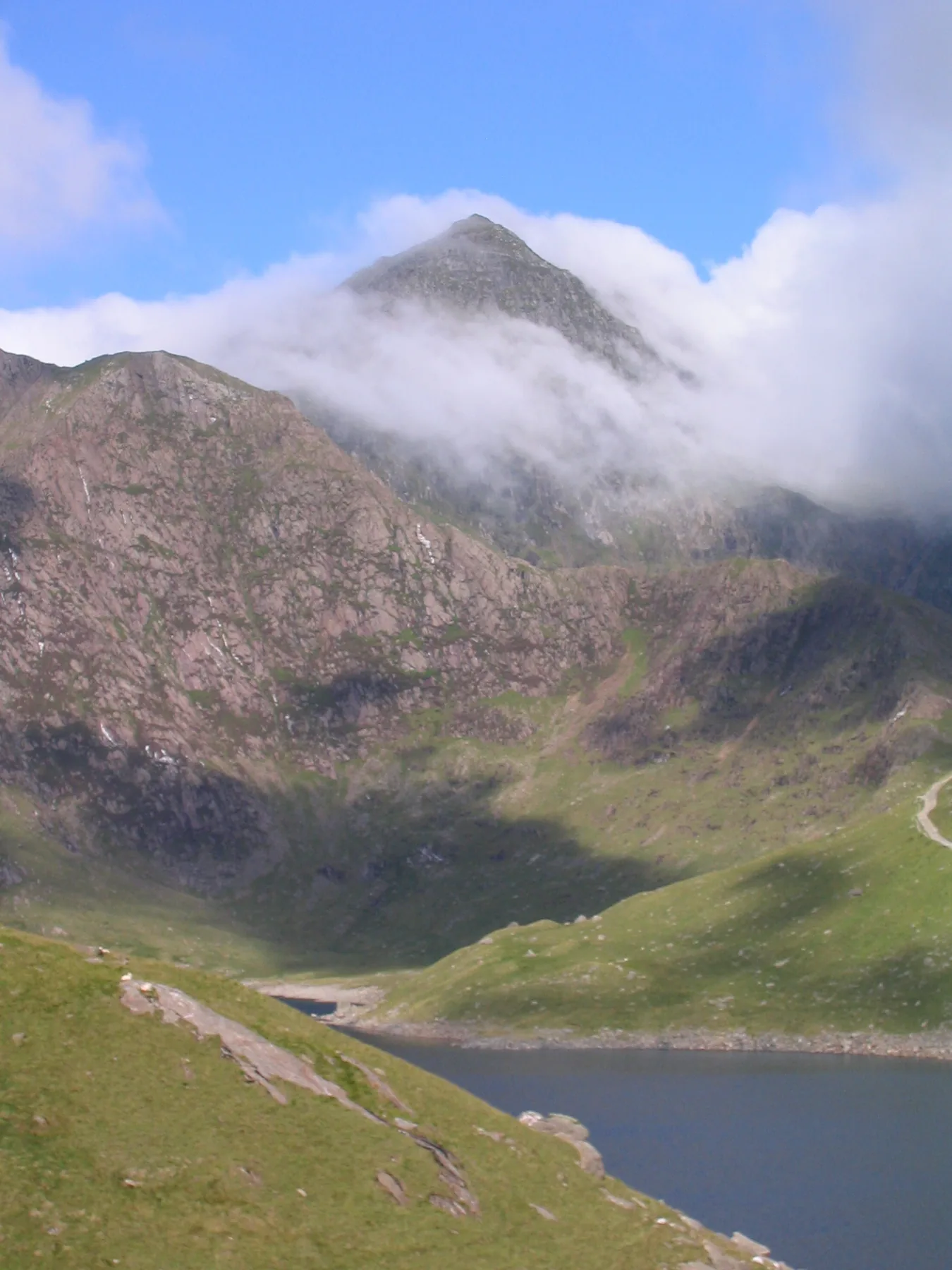
The mountain the village railway climbs: a full guide to the summit routes, for the day you go up rather than just to the station.
About 4.2 miles south-east (straight-line)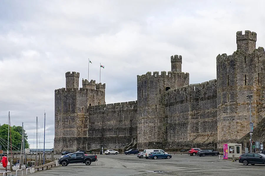
Edward I’s vast castle-and-town-walls circuit on the Menai Strait: a heritage stop on a different scale from Dolbadarn’s single tower.
About 6.2 miles west (straight-line)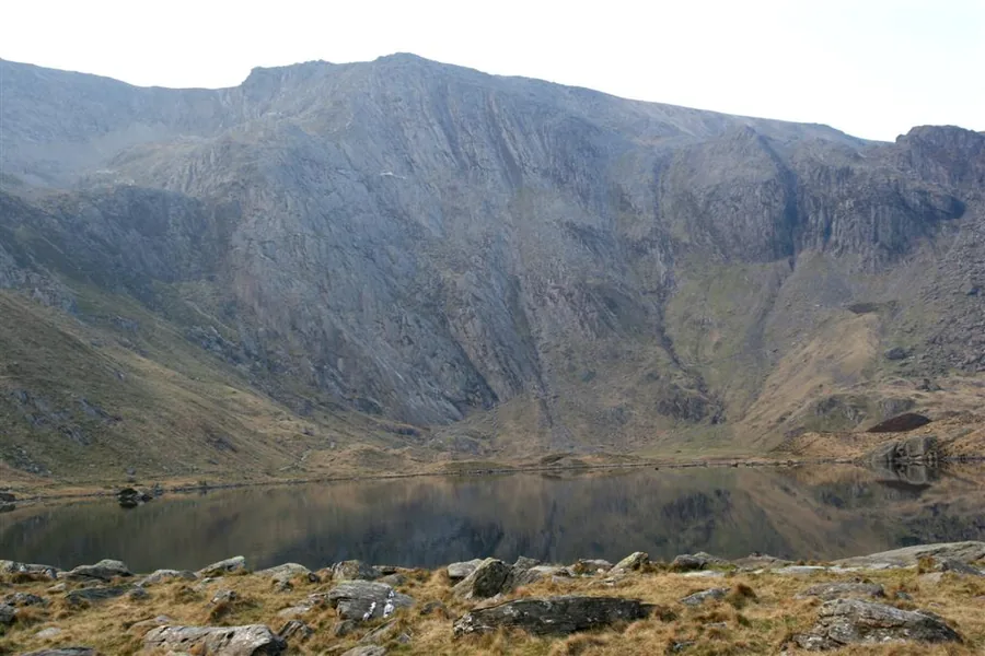
A glacial corrie and nature reserve on the far side of the Llanberis Pass: the lake-and-mountain landscape Llanberis looks out on, from the inside.
About 4.6 miles east (straight-line)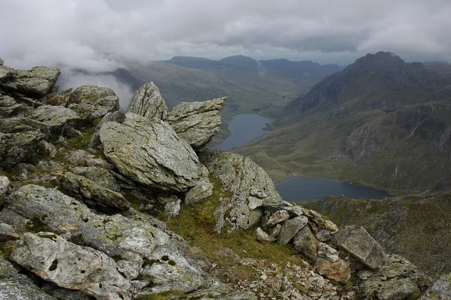
A Glyderau summit reached from the same Ogwen valley as Cwm Idwal: a second mountain day, on a different range from Snowdon.
About 3.5 miles east (straight-line)Before you go
Two railways, a free castle and a waterfall worth respecting: before you’ve even set foot on Yr Wyddfa.