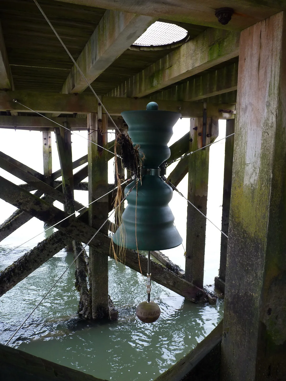
The bell under the jetty
A bronze bell slung under the jetty deck that nobody rings: the incoming tide does it, around high water.
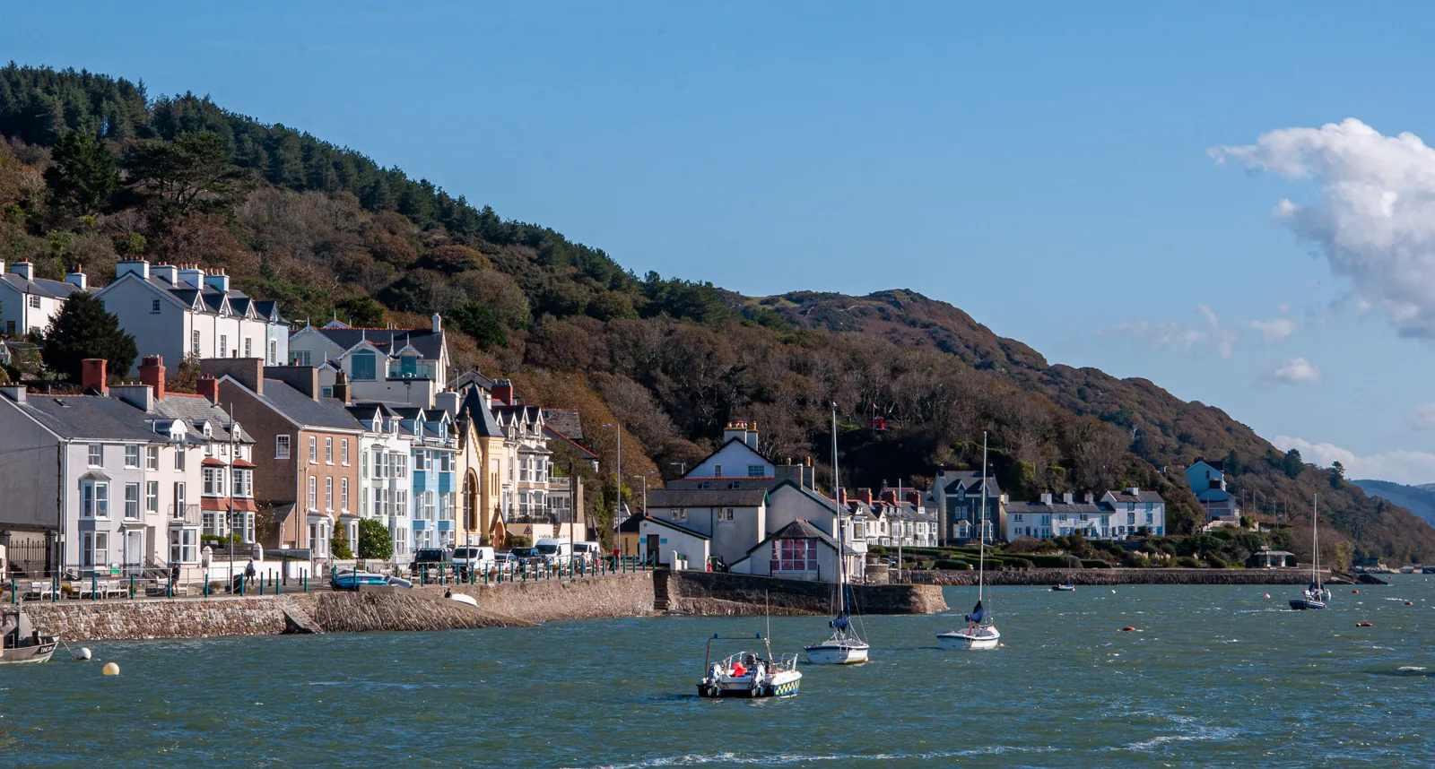
Gwynedd · Dyfi Estuary
A wooded hill on one side, the estuary on the other, and a single street in between, with a bell under the jetty that the tide rings by itself.
01The village
Aberdyfi has almost no room to spread. A steep wooded hillside comes down close to the shore, so the village runs along the estuary in a single line two or three streets deep: sand and dunes at the western end, the wharf and jetty at the middle, the older shore of Penhelig at the east. Walking it end to end takes about twenty minutes, and nothing needs the car once you have parked.
Most Welsh harbours that lost their trade became either a museum or a car park. This one kept working — a lifeboat crew, a fishing fleet, an estuary full of small boats — while turning into somewhere people come for the sand. Both things happen on the same short front.
Character
A resident community of a few hundred with shops, pubs, chapels and a lifeboat crew: busy in summer, open and quieter the rest of the year.
Pace
The whole front is flat and walkable. Only the lanes climbing the hillside behind it are steep.
Landscape
Tidal sand, a shifting channel and open water west into Cardigan Bay, with the hills of southern Eryri behind.
Best for
Best for a beach day with somewhere to eat behind it, and for anyone who likes a village whose shape explains itself.
02Discover
A bronze bell slung under the jetty deck that nobody rings: the incoming tide does it, around high water.
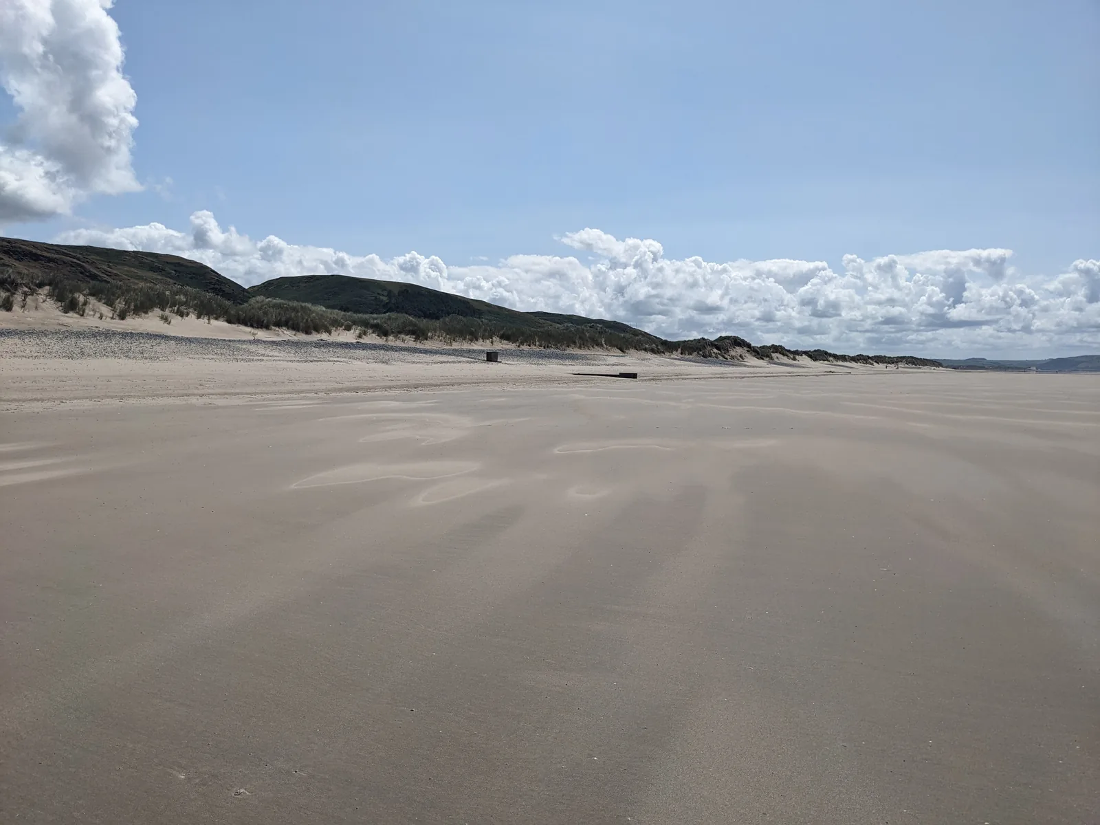
Sand that simply keeps going west towards the links, wide enough to walk yourself into an empty stretch.
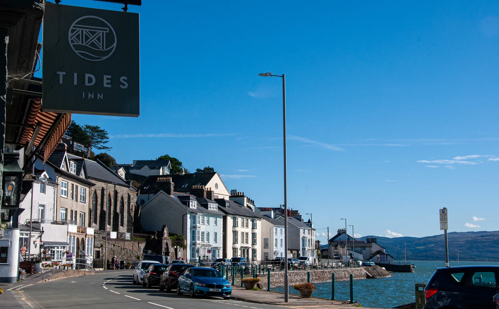
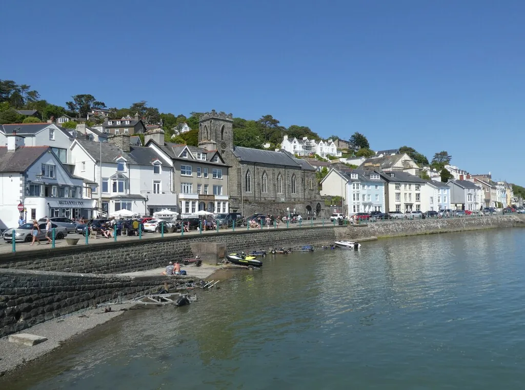
One painted row facing the water, and twenty minutes along it tells you almost everything about the village.
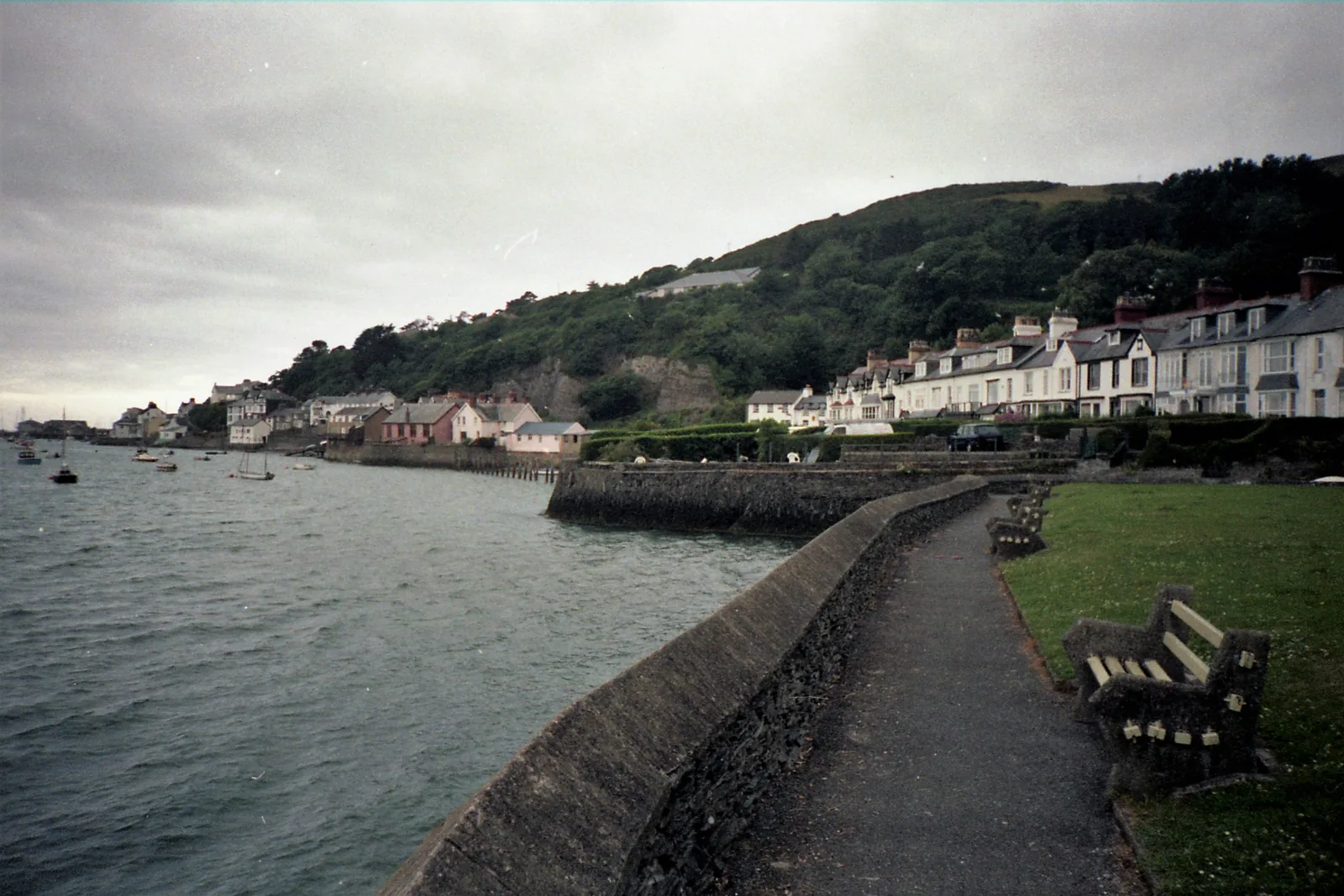
Ten minutes east along the sea wall the village goes quiet, where six of its seven shipyards once worked.
Beyond the first defining moments, the fuller Aberdyfi catalogue continues below.
Everything is on one line along the water: six stops from the dunes in the west to Penhelig in the east, about twenty minutes end to end on the level.
No verified image yet
Aberdyfi Beach
West along the front from the wharf, behind the dune line; the sand runs on north-west from there.
Six stops, all on the same level line along the water: a beach, a working jetty, a church with ten bells, the seafront row, a Victorian reading room and the old shipbuilding shore. No restaurants, pubs or shops are listed here; see Local life for the village’s everyday character.
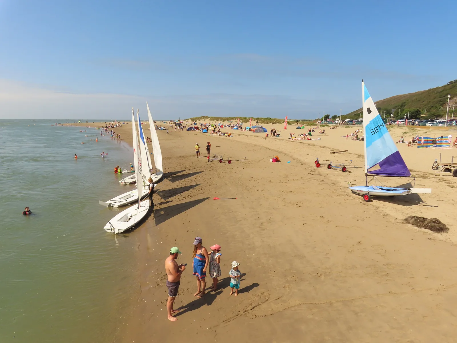
Beach & dunes
Aberdyfi has more beach than village. However busy the strip by the car park gets, twenty minutes of walking north-west still buys you an empty stretch.
Check seasonal dog restrictions (opens in a new tab)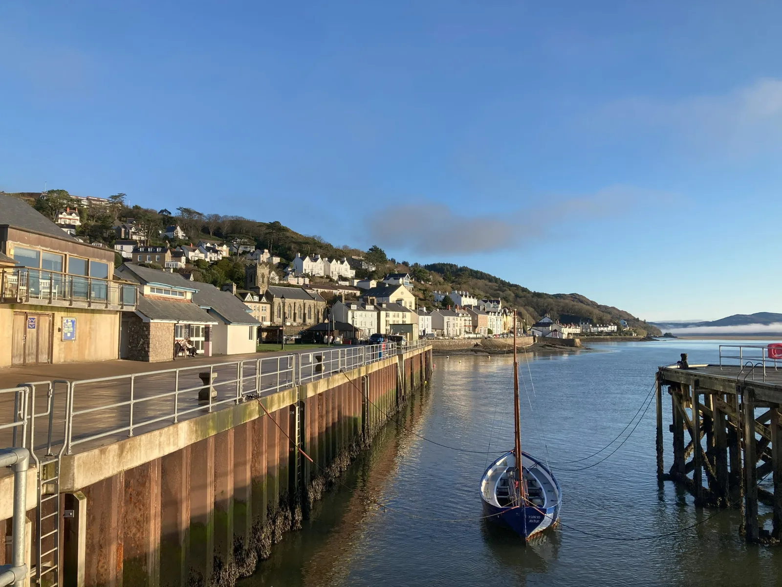
Working wharf
The one place where the old port, the working water and the visitor front are visible at once, with a bronze bell under the deck that the tide rings.
Find tide times (Admiralty EasyTide station search) (opens in a new tab)Working church
A village famous for imaginary bells beneath the sea went and hung ten real ones in this tower. You can see it from almost anywhere on the front.
Seafront street
A hillside this close to the shore left room for exactly one street, so everything the village does happens along it. Read it end to end.
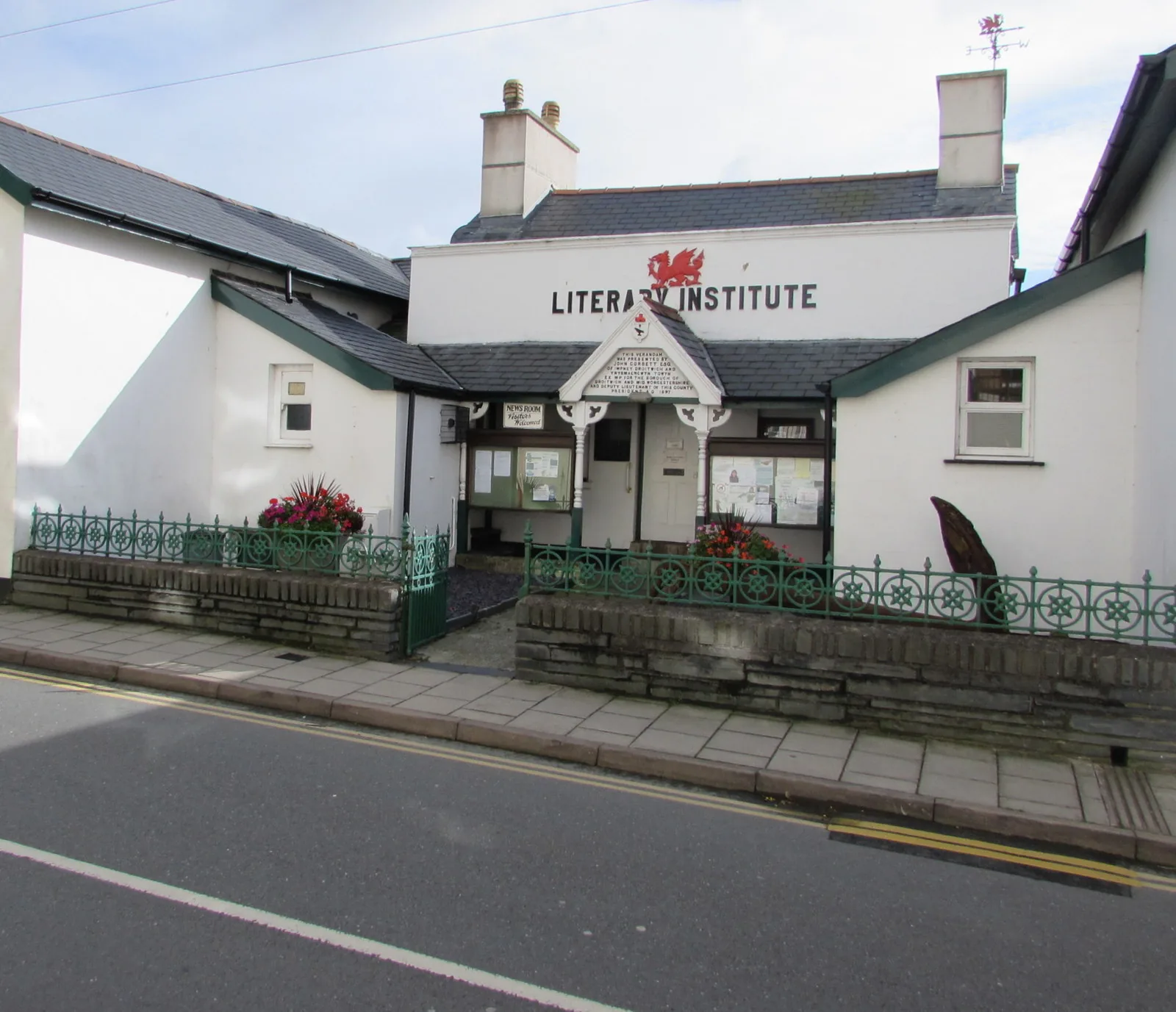
Reading room
A working village put a reading room on its best seafront plot, then wrote a deed making sure nobody could ever turn it into anything else.
Village quarter
Aberdyfi’s ships were built along this shore, not on the visitor front. Nothing marks it: it simply went back to being houses and moorings.
The village, the front, the jetty and the beach are all free and open. Nothing here keeps published visitor hours, so check directly before building a day around a particular building.
Aberdyfi Community Council03Story
The name simply means the mouth of the Dyfi. For most of its recorded history that mouth mattered and the place beside it did not: a crossing, then a haven, then briefly one of the busiest shipbuilding shores on this coast.
Maelgwyn Gwynedd gathered the Welsh leaders on this estuary in 547, and the sands opposite still carry his name. Gerald of Wales took the ferry across in 1188 while recruiting for the Crusade: the last time that crossing is mentioned.
Llywelyn Fawr summoned most of the princes of Wales here in 1216 to settle who answered to whom; it has been called the first Welsh parliament. Yet a survey of Merionethshire’s havens three centuries later still records only “3 houses” on the shore.
Between 1840 and 1880 seven yards — six of them at Penhelig — launched forty-five sailing ships. Slate, oak bark and lead ore went out; one Aberdyfi vessel, the Maglona, worked the Newfoundland cod trade and the Mediterranean.
The line reached the village in the early 1860s and, as the local history puts it, signalled the beginning of the end for shipping and shipbuilding. By 1905 a single locally built vessel was left. The same trains brought the people who came to look at the sand.
In 1941 the world’s first Outward Bound centre opened on this estuary, teaching seamanship to merchant-navy apprentices. A lifeboat has been kept here under the RNLI since 1853. The trade went; the water never stopped being the point.
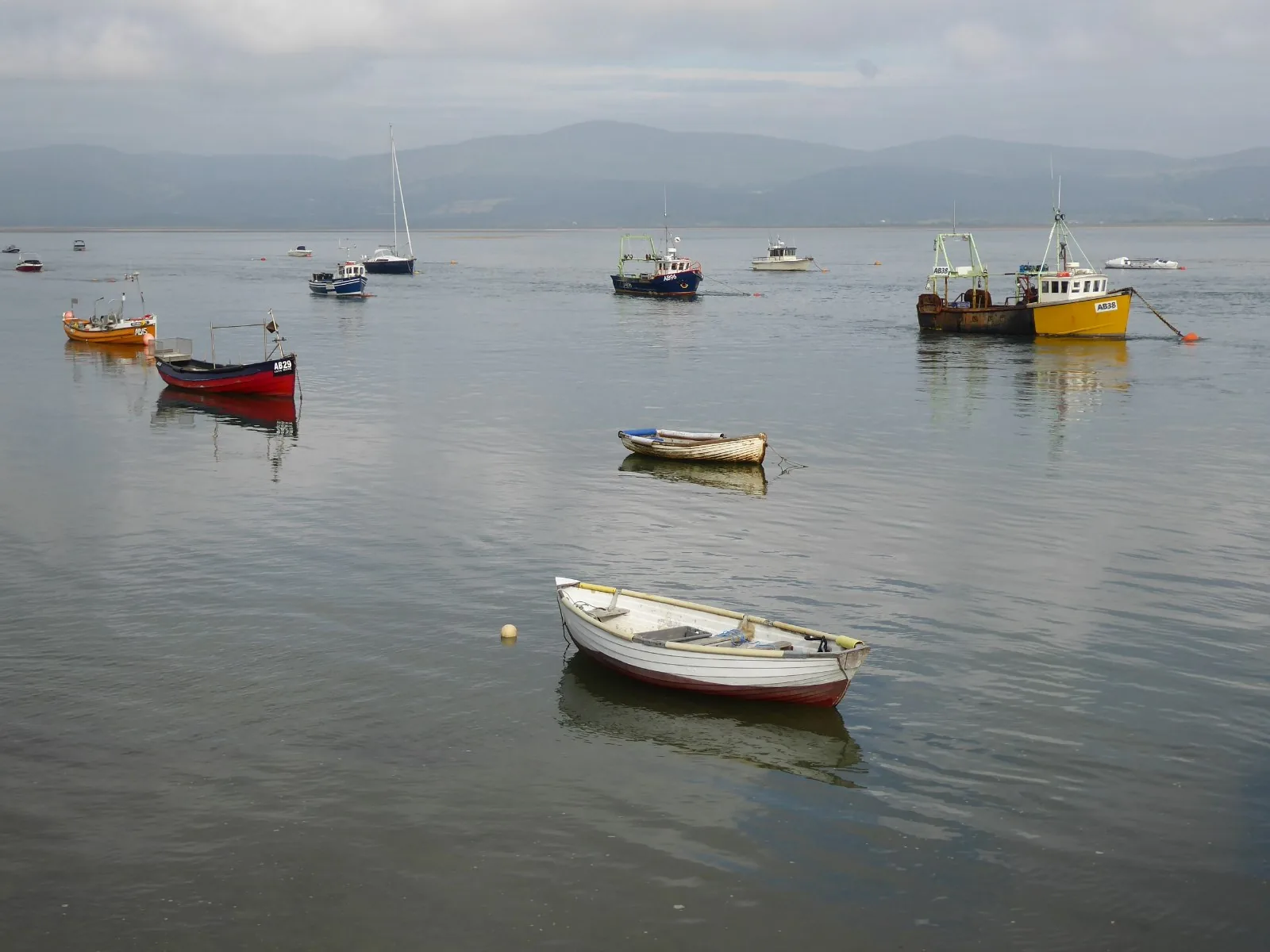
The most famous thing ever written about Aberdyfi is a song about bells that were never here, composed for a London stage.
Atlas of Wales
Aberdyfi’s community numbered 682 at the 2021 Census, and just over four in ten residents reported speaking Welsh. In summer that population is comfortably outnumbered on the sand; the rest of the year the front belongs to the people who live along it.
Everything happens on the same line: the shops and cafés under the terraces, the boats, the lifeboat crew, the walkers on the beach. There is no second centre to escape to, which is part of why it feels close-knit.
Parking is one car park deep. Arrive early on a fine summer weekend, or come by train and skip the question entirely.
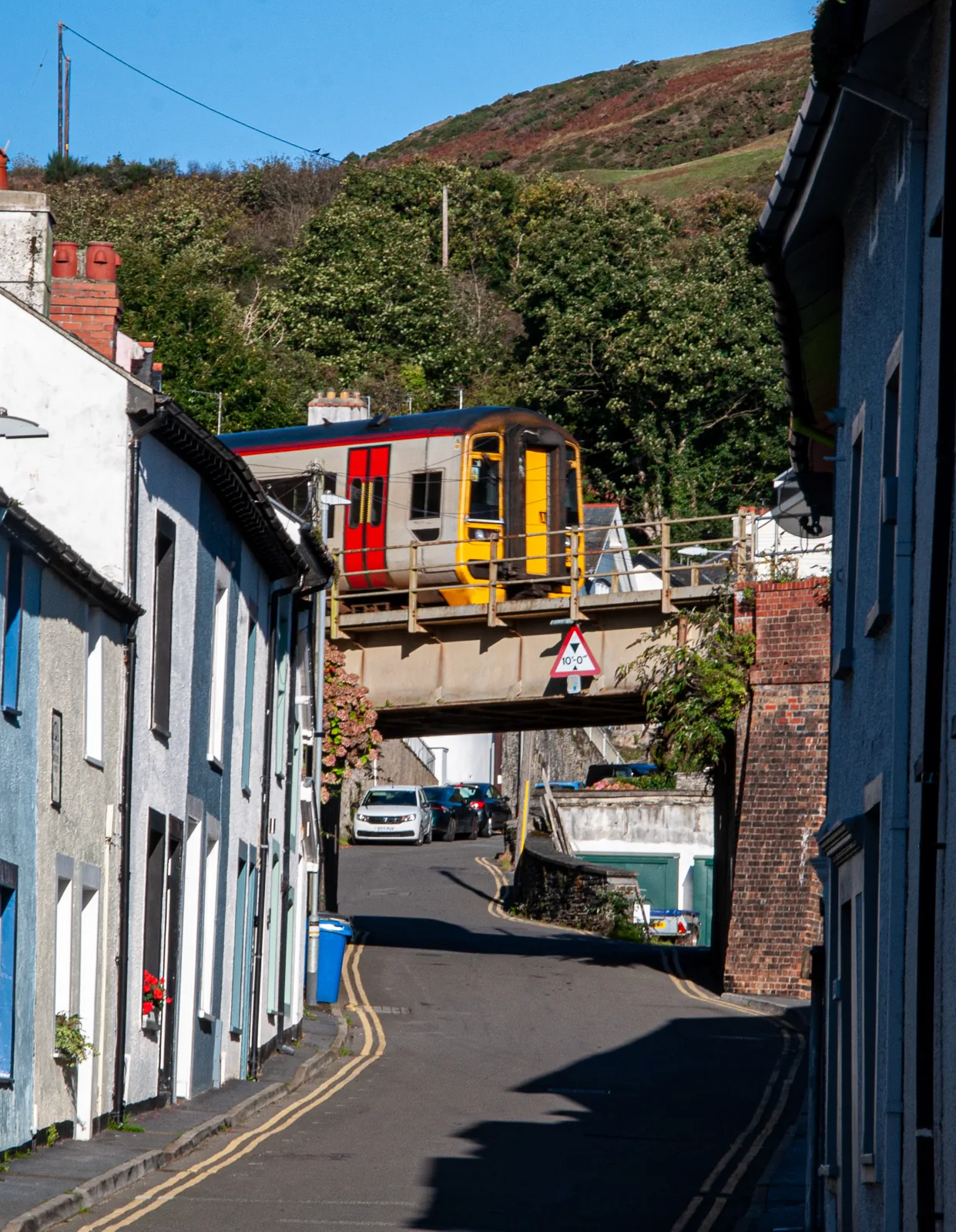
One street back from the water the village carries on up the slope in narrow terraces, with the Cambrian Coast line crossing overhead on a bridge. This is where the front becomes a place people live rather than visit.
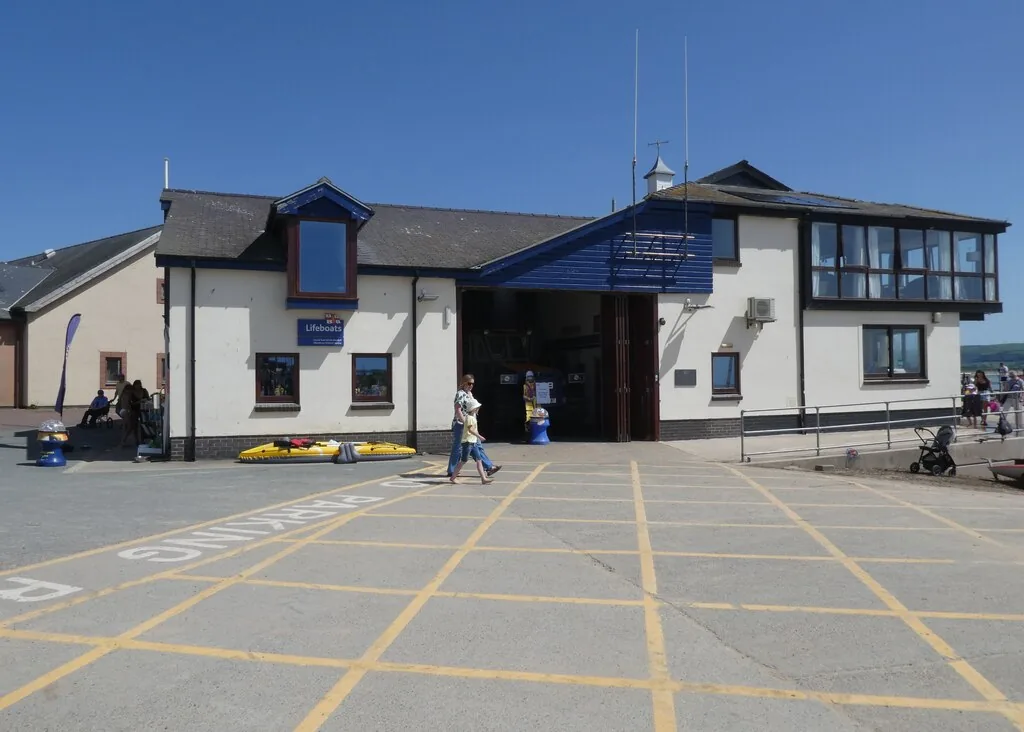
A lifeboat has been kept at Aberdyfi under the RNLI since 1853, and the present inshore station has run from the wharf since the 1960s. Alongside it the estuary carries fishing boats, dinghies and instruction.
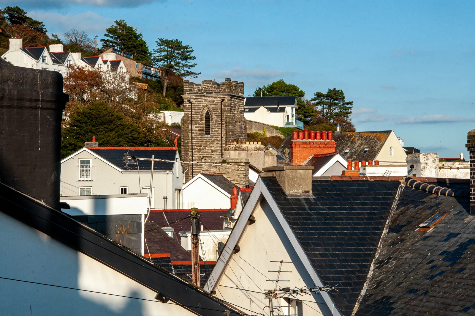
With the hill immediately behind, houses stack up the slope in short terraces reached by steep lanes and steps. It is why the village looks bigger from the water than it feels on foot.
The village and the tide
The estuary decides what the day looks like here: how much sand there is, whether the boats are afloat, whether the bell under the jetty has anything to say. It is the one thing in the village nobody schedules.
Plan your time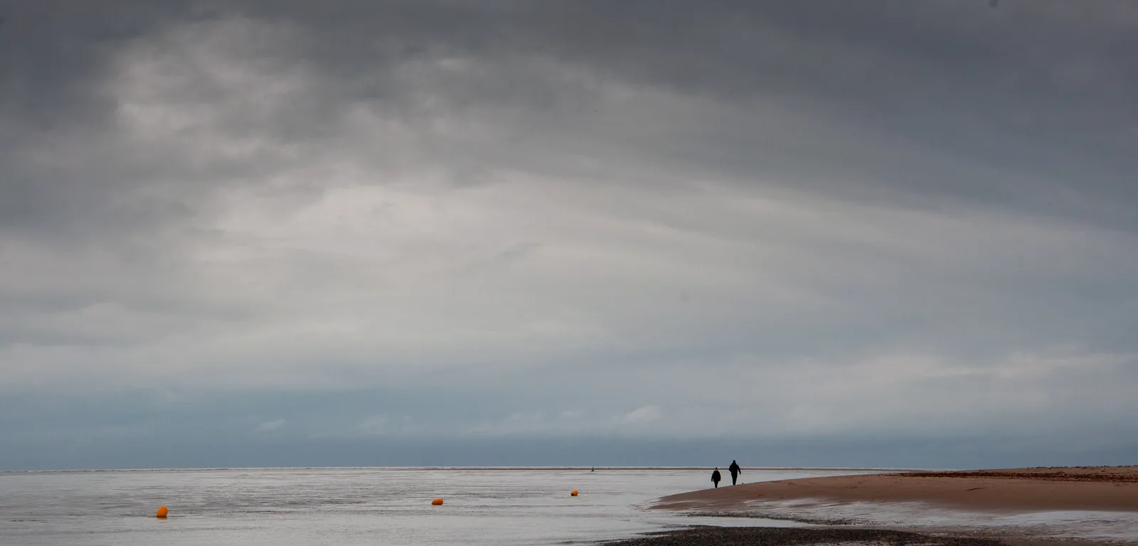
Aberdyfi simply means the mouth of the Dyfi: the river named the place, not the other way round.
Atlas of Wales
04Plan
The main car park sits beside the Visitor Information Centre, halfway along.
The channel, the boats, and the far shore of the estuary.
Look down through the deck. It speaks around high water, not on request.
Get your bearings from the jetty, then turn east.
The tower with ten bells in it, one step back from the front.
A bath house that became a reading room and stayed one.
Level walking to the quiet end, where the shipyards were.
The same walk in reverse reads completely differently with the tide changed.
Bell, boats and bearings before anything else.
The old shipbuilding shore while the morning is still quiet.
Cafés, pubs and shops run the length of the terraces.
Drop down west of the car park where the beach widens out.
Keep going north-west and the crowd thins to nothing within twenty minutes.
Practical
Everything you need for arriving and getting around.
Getting here
The A493 coast road runs the length of the village, between Tywyn to the north-west and Machynlleth to the east. Pay-and-display parking is beside the Visitor Information Centre, halfway along the front.
Open the main car park in Google MapsTwo stations on the Cambrian Coast line between Machynlleth and Pwllheli. Aberdovey serves the beach and links end; Penhelig, at the eastern end between two tunnels, is a request stop: tell the guard, or signal the driver.
Check current timesPractical details
Two Cyngor Gwynedd car parks — the main one on the seafront by the Visitor Centre, with the beach immediately behind it, and a second at the Penhelig end — plus a third off the A493 at Glandovey Terrace in the middle of the village.
Check the Cyngor Gwynedd car parks listingCharges and restrictions can change. Check the signs when you arrive.
Aberdyfi Main
Seafront · by the Visitor Centre
Google Maps (opens in a new tab)Nantiesyn
Penhelig · east end of the village
Google Maps (opens in a new tab)Glandovey Terrace
Village centre · on the A493
Google Maps (opens in a new tab)Public toilets are at the Visitor Information Centre on the front, beside the main car park.
Opening season is not published here. Check locally if you are relying on them out of season.
At the Visitor Information Centre, mid-front
Not confirmed: no opening season is claimed here
The whole seafront, including the sea wall path east to Penhelig, is level. The lanes climbing the hillside behind it are steep, narrow and stepped.
Per-site accessibility (toilets, the jetty deck, individual buildings) is not independently confirmed. Check before visiting if this matters to you.
Level throughout
Steep and stepped behind the front; the beach is soft above the tide line
This is an estuary mouth, not a bay. The main channel runs close inshore near the jetty and moves fast on the ebb; the sandbanks change shape from year to year.
No lifeguard cover is claimed here either way, and no tide table is published on this page. Treat the channel with respect and check locally before swimming.
An RNLI station has been kept at Aberdyfi since 1853; the inshore boathouse is on the wharf
The world’s first Outward Bound centre, opened on this estuary in 1941: a residential centre, not a visitor attraction
Gwynedd operates a Public Spaces Protection Order that bans dogs from designated beach areas between 1 April and 30 September.
Check the Cyngor Gwynedd dog control orderThe boundary of the restricted area at Aberdyfi is set out in the council’s own order, not summarised here. Read it before you travel rather than relying on a signpost you have not reached yet.
Everything in this guide is on foot from the front. The links course west of the village is the one thing that is not: an eighteen-hole links founded in 1892, out beyond the dunes by Aberdovey station.
Use Aberdyfi as a base
Four Atlas destinations pair with an Aberdyfi visit: distances are straight-line from the village, not driving times.
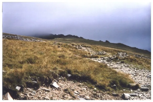
The mountain that closes the skyline north of the estuary: the high, hard version of the same stretch of Eryri that Aberdyfi sits at the soft end of.
About 12.1 miles north-east (straight-line)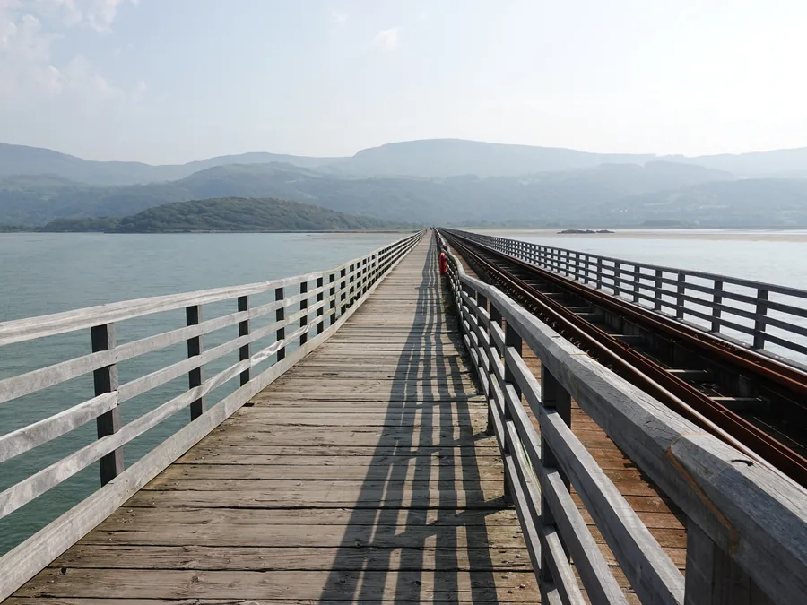
The next estuary mouth up the same coast and the same railway: a bigger resort town where the line crosses the water on a timber viaduct instead of ducking through tunnels.
About 12.3 miles north (straight-line)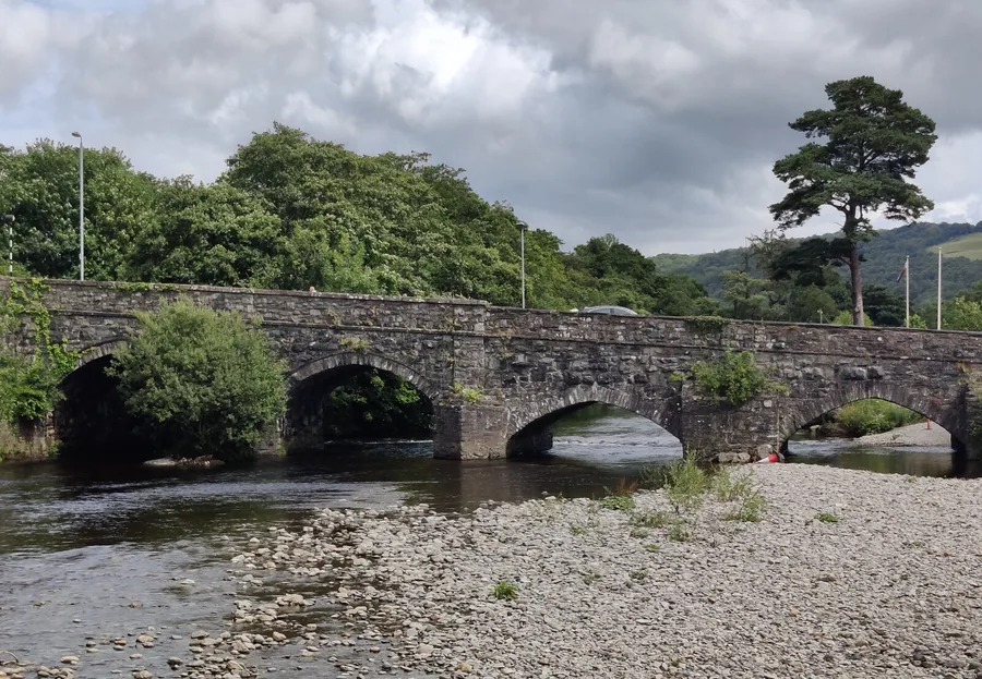
A dark-stone market town inland under Cadair Idris: the county’s working centre while Aberdyfi was shipping its slate out to sea.
About 15.3 miles north-east (straight-line)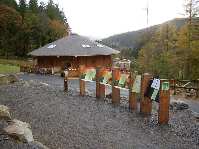
Deep forest and purpose-built mountain-bike trails an hour north: the wet-weather answer when the estuary is blowing straight down the front.
About 20.3 miles north (straight-line)Before you go
It takes as long as it takes, and the whole village is a twenty-minute walk while you wait.