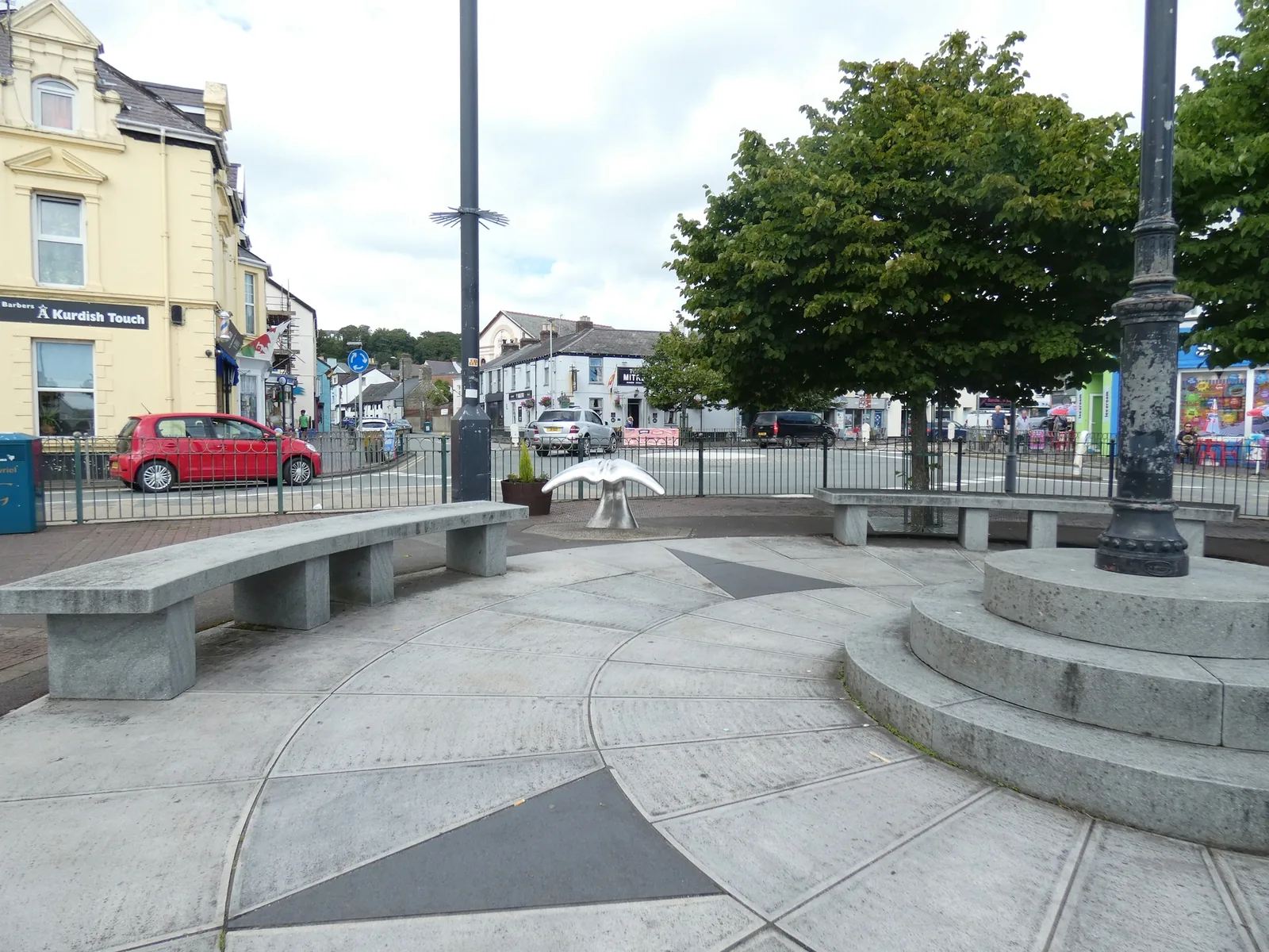
A square that is still a market floor
Not a built square but a broad open space that still becomes a market floor on Wednesdays.
Gwynedd · Llŷn Peninsula
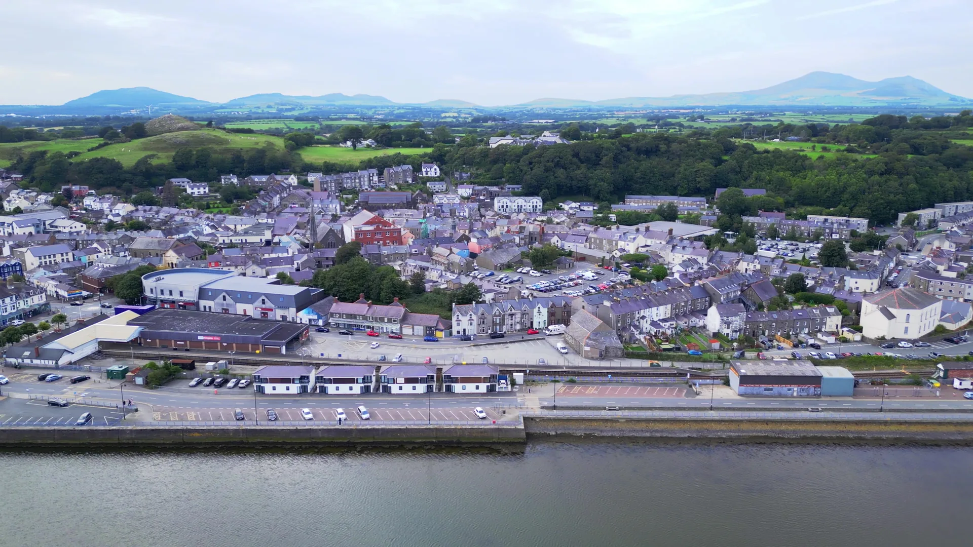
The Llŷn’s working capital: a market on an open square, boatyards on the old harbour, a forest of masts a kilometre east, and sand that runs out of sight.
01The town
Pwllheli reads from west to east. Y Maes sits at the top — a broad open space rather than a built square — with the shops and Neuadd Dwyfor around it. Four hundred metres downhill the old harbour turns to boatyards and mud at low water. Follow the quay another kilometre and it becomes several hundred masts, a sailing academy and a quarried rock at the harbour mouth.
Most of the Llŷn is villages. This is the one place on the peninsula with a market, a railway terminus, a hospital-scale range of shops and a marina, so it is the natural base for everywhere else, and the only stop where a wet day still has somewhere to go.
Character
3,947 people at the 2021 Census, and around 80–81% of them report speaking Welsh. The market, the shops, the theatre and the school are here because the peninsula needs them, not because visitors do.
Pace
The centre is level throughout. The square to the marina is about a kilometre along the quay, and the rock at the harbour mouth another half again: easy walking, but not a five-minute stroll.
Landscape
The Afon Erch and the Afon Rhyd-hir both reach the sea here, held back by the spit that carries the harbour arm. The sand outside it runs east for about three miles.
Best for
Best for anyone using the Llŷn over several days rather than one, and for a market Wednesday. Also the peninsula’s only genuinely car-free arrival, at the end of the Cambrian Coast Line.
02Discover
Not a built square but a broad open space that still becomes a market floor on Wednesdays.
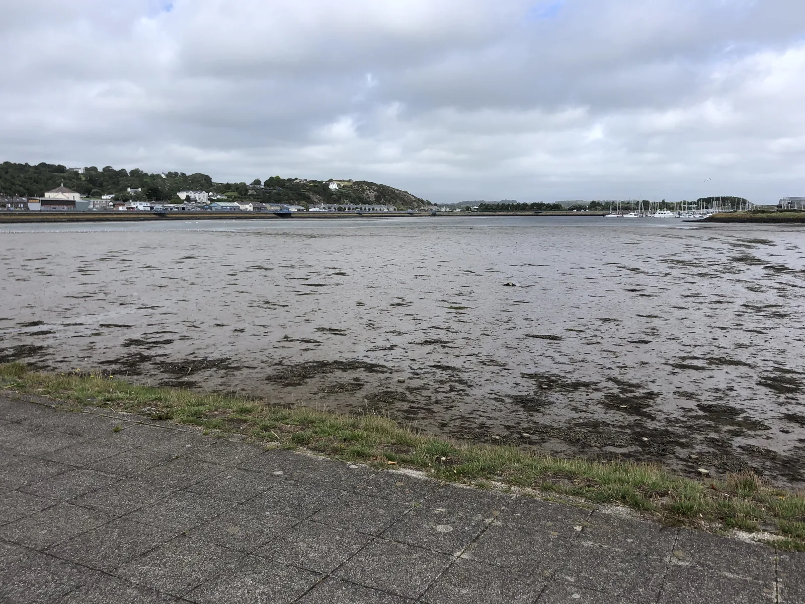
Walk down from the square and the water has gone out from under the boats, leaving bare mud.
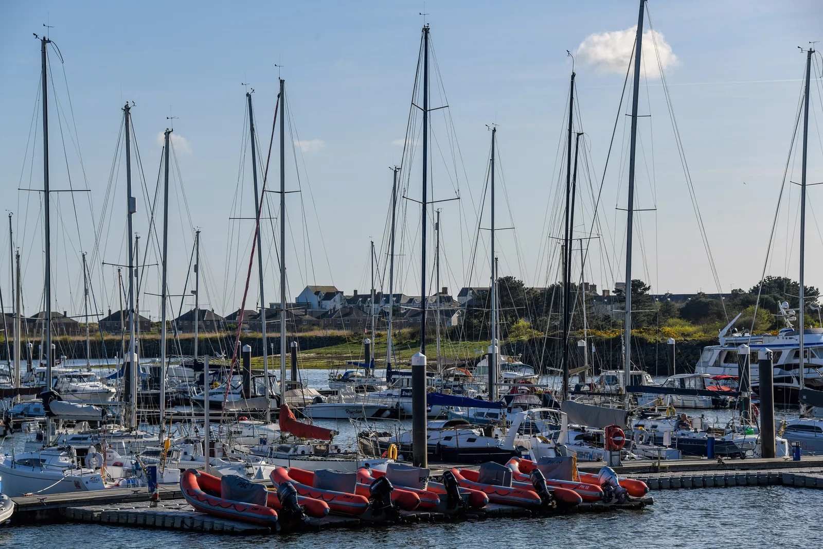
Several hundred boats stand where the Erch and the Rhyd-hir meet the sea, a working yard along one side.
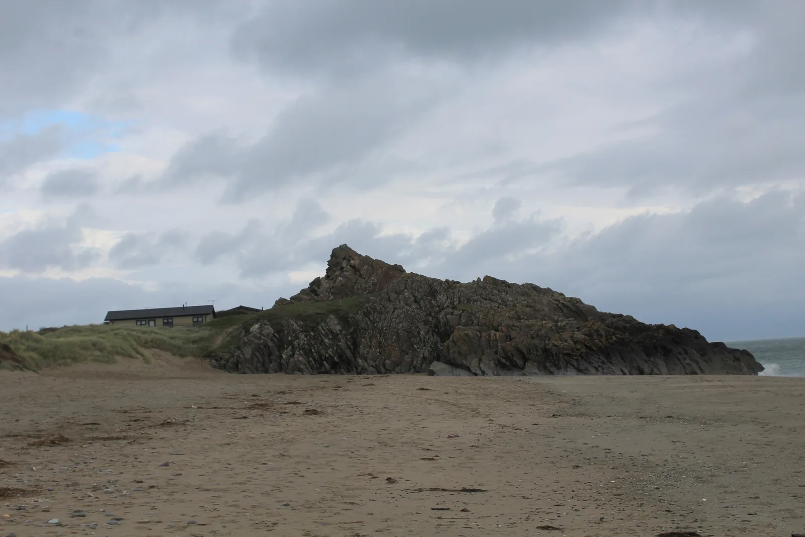
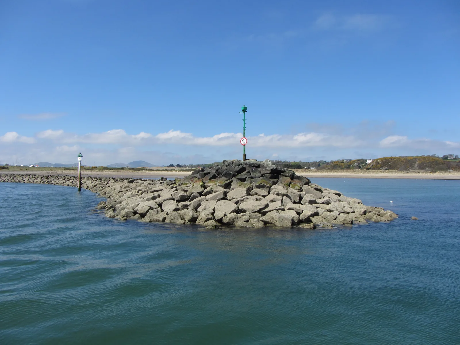
A blunt granite stump with quarried faces at the harbour mouth: the stone the town was built from.
Beyond the first defining moments, the fuller Pwllheli catalogue continues below.
Seven stops on one flat line: three of them around the square and the harbour, four strung east along the quay to the harbour mouth.
No verified image yet
Y Maes
The centre of the town, with shops around three sides and the water four hundred metres downhill.
Seven places on one flat walk from the square to the harbour mouth: a market square, a theatre and library, a working harbour, a promenade above three miles of sand, a marina, a national sailing academy, and the quarried rock the town came out of. No shops, cafés or pubs are listed here; see Local life for the town’s everyday character.
Town square & market
The town’s open square, and its main car park six days a week. On the seventh the market stalls go up and you see what the space is for.
Theatre, cinema & library
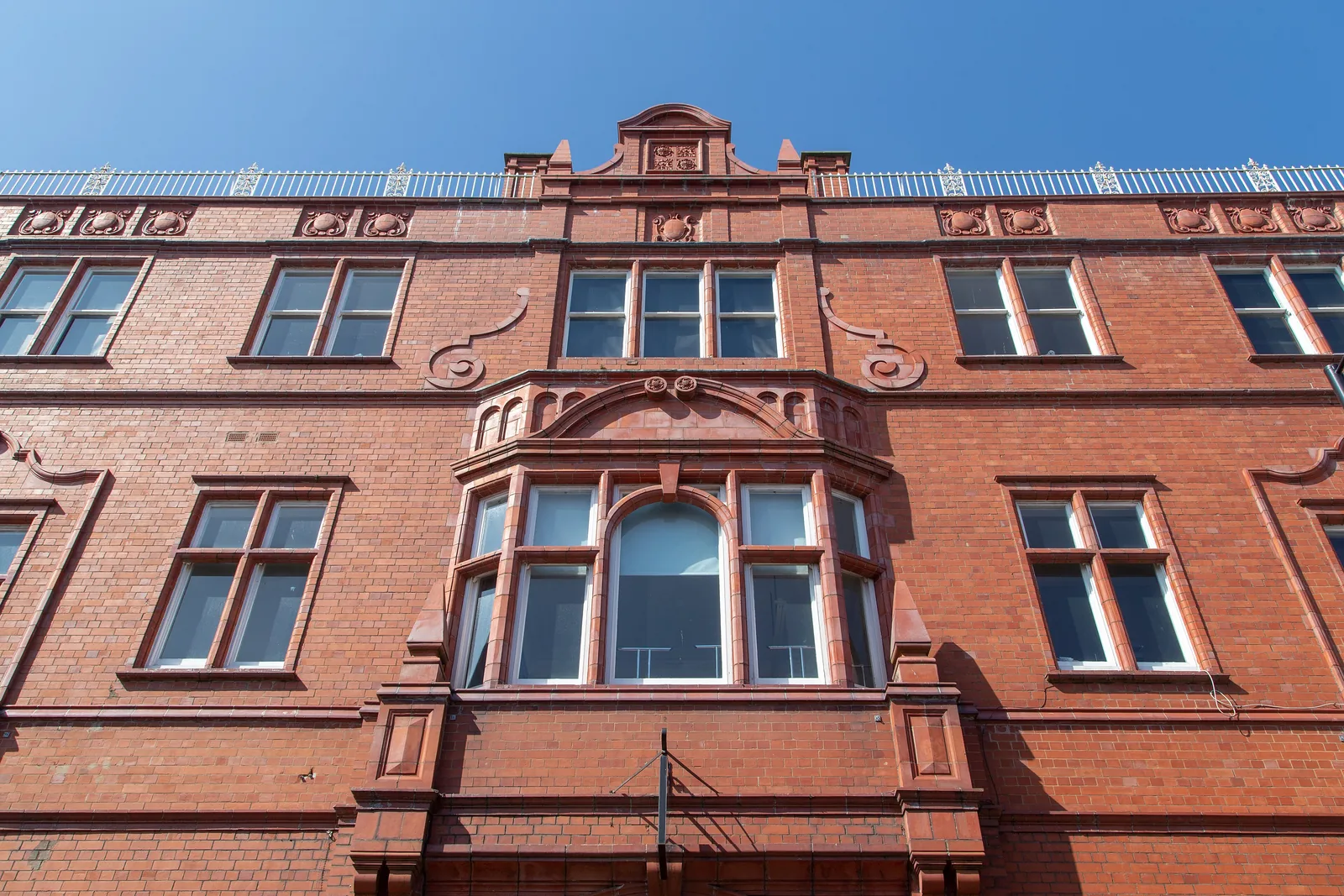
One red-brick front on Penlan Street hides a theatre, a cinema and the library. It is the answer to a wet afternoon on the Llŷn.
Check what is on (opens in a new tab)Working harbour
Come at high water and it is a harbour; come at low and it is mud with two rivers cut through it. Boats are still repaired along the edge.
Find tide times (Admiralty EasyTide station search) (opens in a new tab)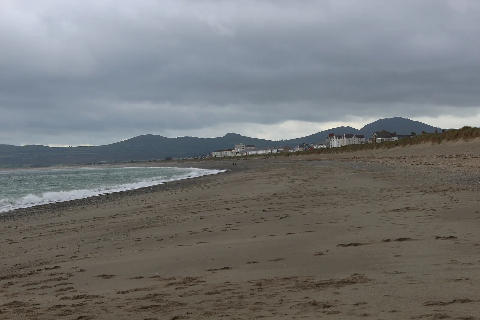
Promenade & beach
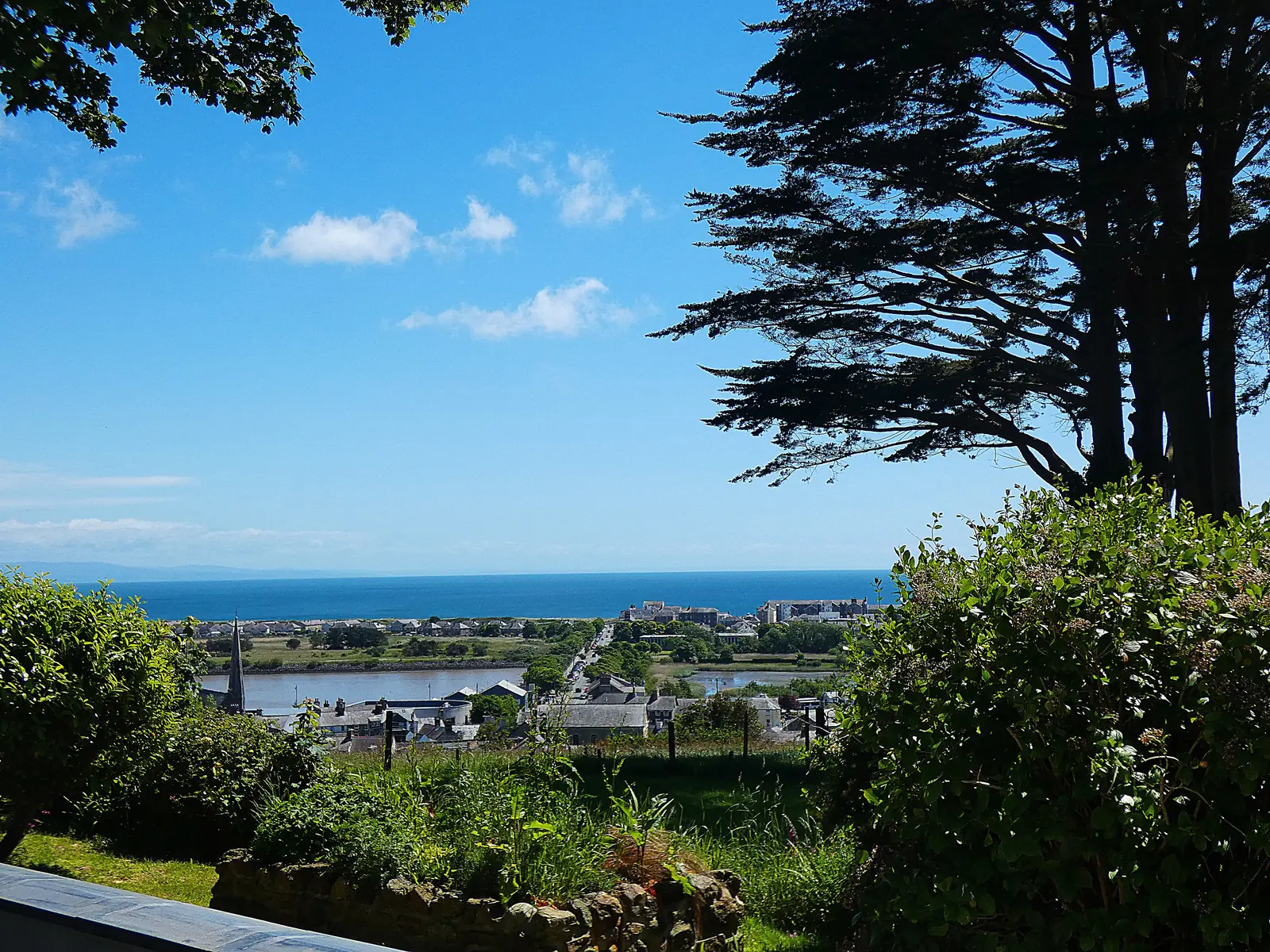
Turn your back on the water here and you get the hills of the Llŷn over the rooftops. The sand runs east from the terraces for three miles.
Check seasonal dog restrictions (opens in a new tab)Marina
Several hundred masts stand in one basin where two rivers meet the sea. The quay walk is the place to take in the scale of it.
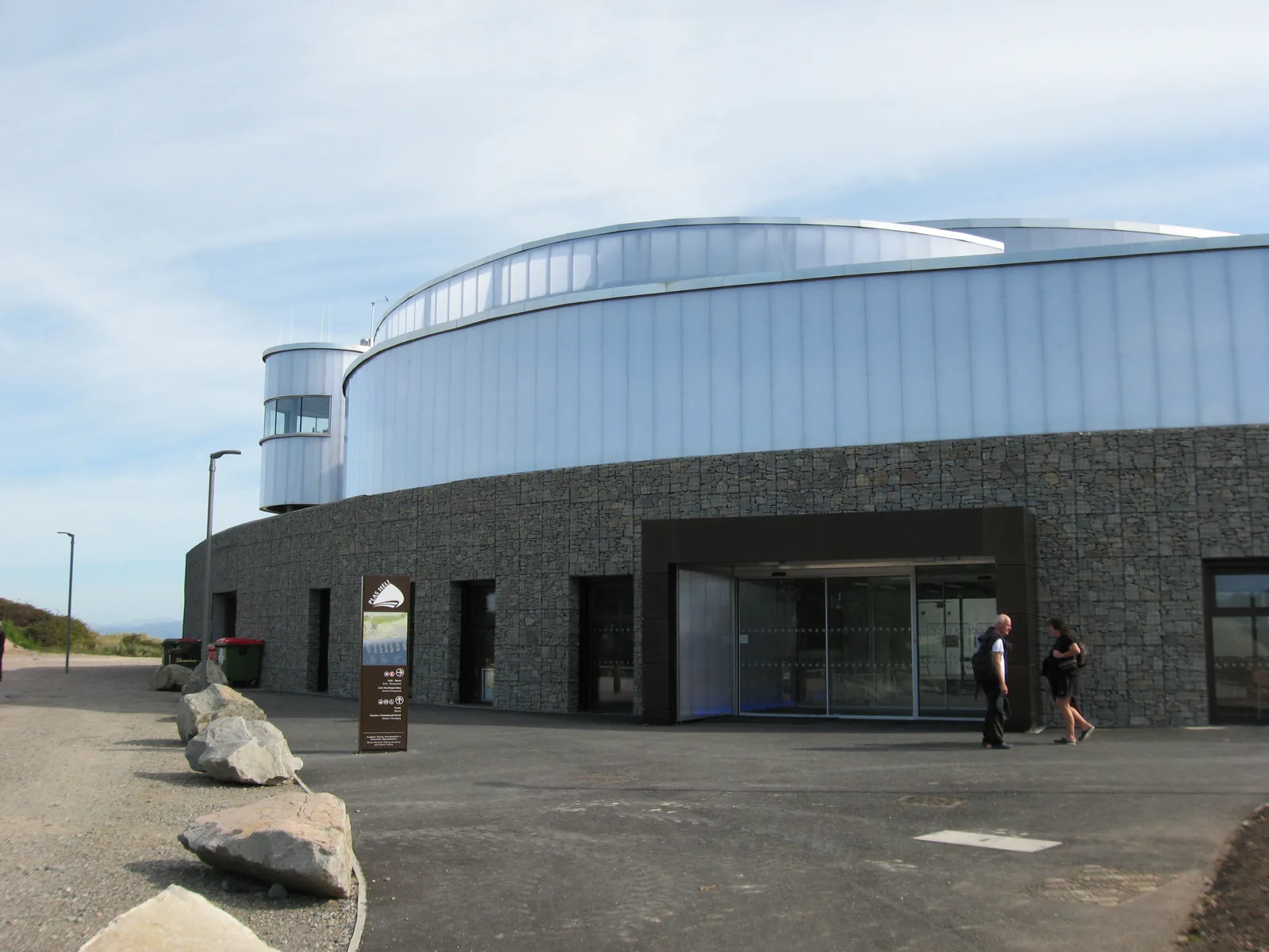
Sailing academy & events centre
The building at the end of the quay that turned this bay into a championship racing venue. Worth the walk out even when nothing is on.
Quarried headland & lifeboat shore
The blunt rock closing the harbour mouth was cut into that shape by quarrymen. Walk out to it and the squared-off faces are obvious.
Championship dates at Plas Heli fill the town, and the market runs one day a week. Confirm both before you plan a day around either.
Plas Heli event calendar03Story
Pwllheli has been granted, quarried, rebuilt as a resort and reopened as a sailing centre, and through all of it has stayed the one place on the Llŷn where the peninsula does its business.
Edward, the Black Prince, made Pwllheli a borough in 1355. The Wednesday market on Y Maes is the direct descendant of that grant, and the reason the open space at the centre of the town is a space rather than a street.
The old parish church stood at Deneio, north of the present centre. It was superseded in the nineteenth century by St Peter’s in the middle of the town: a church of 1832–4 by the county surveyor William Thomas, replaced in turn by J. Oldrid Scott’s building, consecrated on 18 October 1887.
Through the nineteenth century the town lived on shipbuilding, fishing and the granite quarried at Carreg yr Imbill; its population was 2,367 in 1841. The RNLI arrived in 1891, its boathouse built at Gimblet Rock with doors at both ends so the boat could go out over the beach or into the harbour.
A Cardiff businessman laid out the promenade, the roads and the West End houses, and ran a horse tramway along the shore to Llanbedrog. Storm damage finished the tramway in 1928–29; the seafront he built is still the one people walk.
During Eisteddfod week, on 5 August 1925, six men met in the Maes Gwyn temperance hotel and founded the party that became Plaid Cymru. The Eisteddfod has returned in 1955 and 2023. The poet and archdruid Cynan was born here. And in the 1990s the marina arrived, and the town started counting world championships instead of tonnage.
The stone that built the sea wall came out of the rock that shelters the harbour.
Atlas of Wales
Pwllheli is a town of just under four thousand people doing the work of a much larger one. Shops, a supermarket, a secondary school, a further-education campus, a fire and ambulance station and the marine trades all sit inside the same square kilometre, and Welsh is the language most of it happens in.
The market and the sailing season set the peaks. Between them the town simply carries on.
Wednesday is the day the square changes character. If you want the town rather than the marina, come then.
The peninsula’s shopping happens around this square: banks, chemists, butchers, charity shops and a supermarket within a few minutes of each other. It is the one place on the Llŷn where a full errand list can be finished on foot.
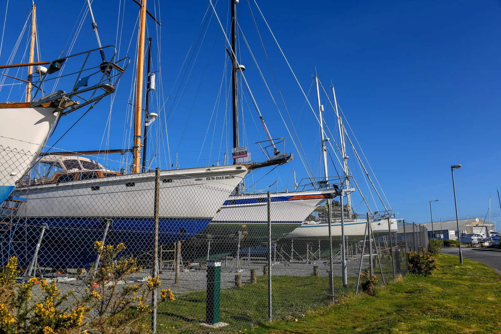
Boatyards, riggers, chandlery and brokerage employ people here all year, not just in season. Hulls stand ashore on cradles through the winter and go back in before the racing starts.
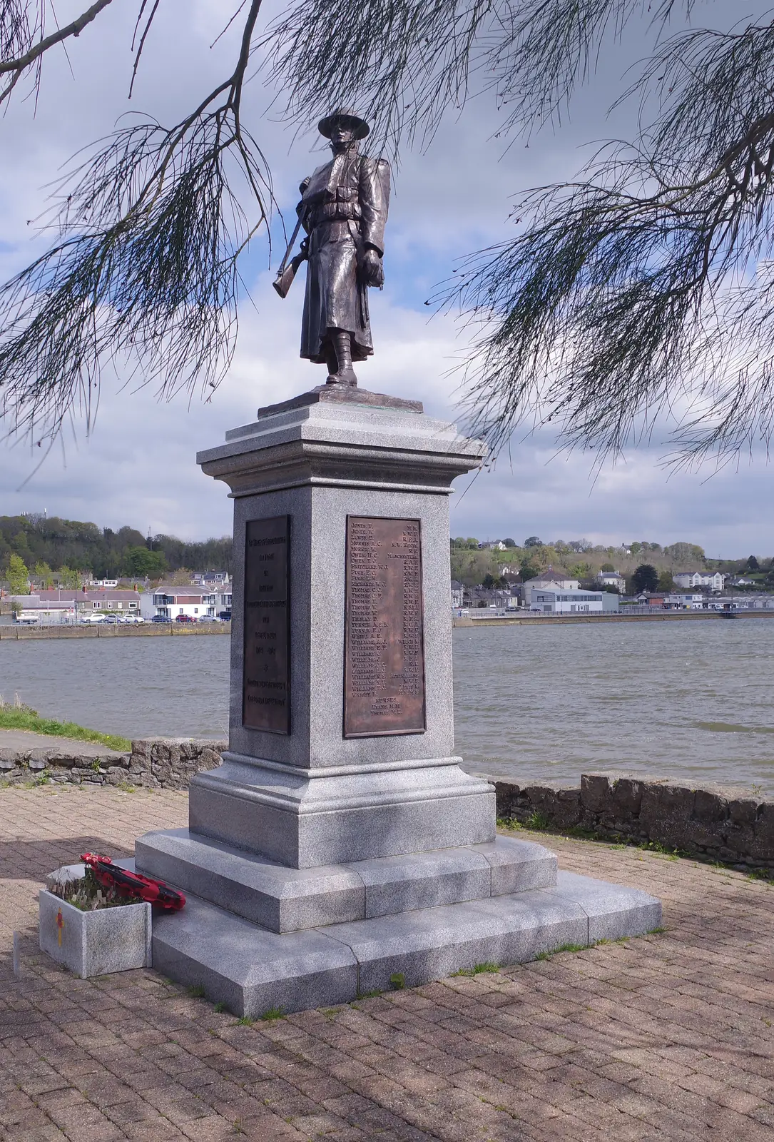
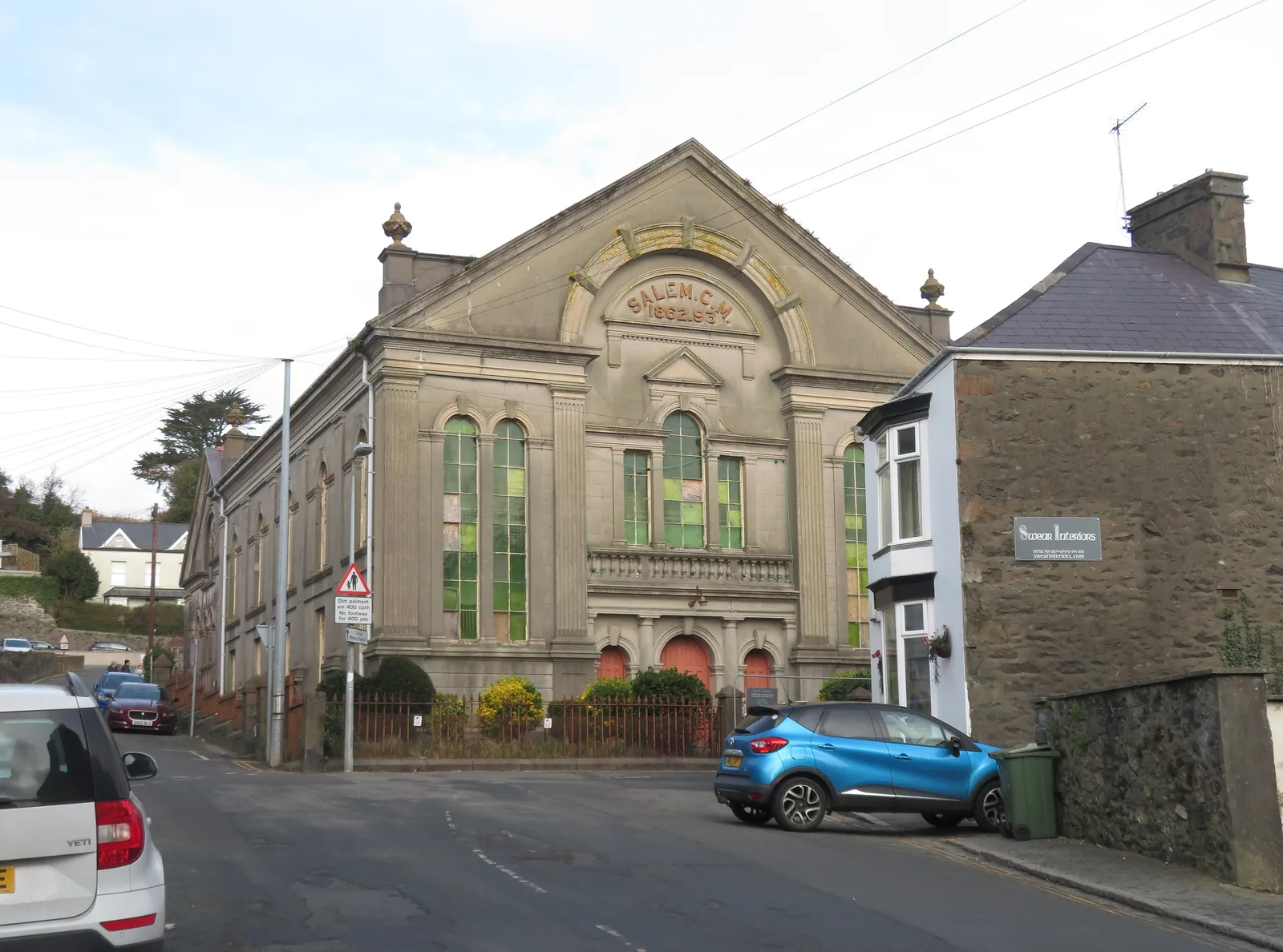
Chapels, a war memorial and a town hall complex mark the century when Pwllheli was a Welsh-language civic centre first and a resort second. Several of those buildings are still in use; some are not.
The town in one walk
Nothing here needs a car once you have parked one. Walk east and the town hands you over in stages: shops, then boatyards, then masts, then a lifeboat house and a quarried rock at the end of it.
Plan your time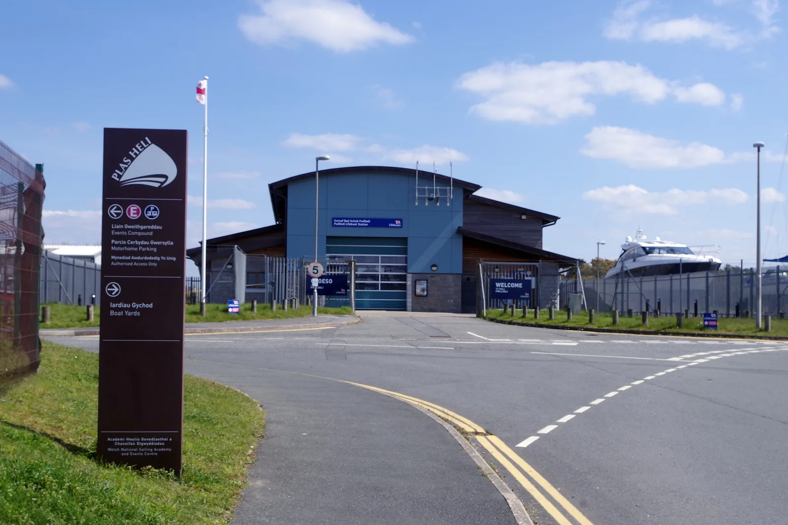
A town of four thousand people that hosts world championships, and still holds a market on a Wednesday.
Atlas of Wales
04Plan
Park on the square, and find the plaque before you leave it.
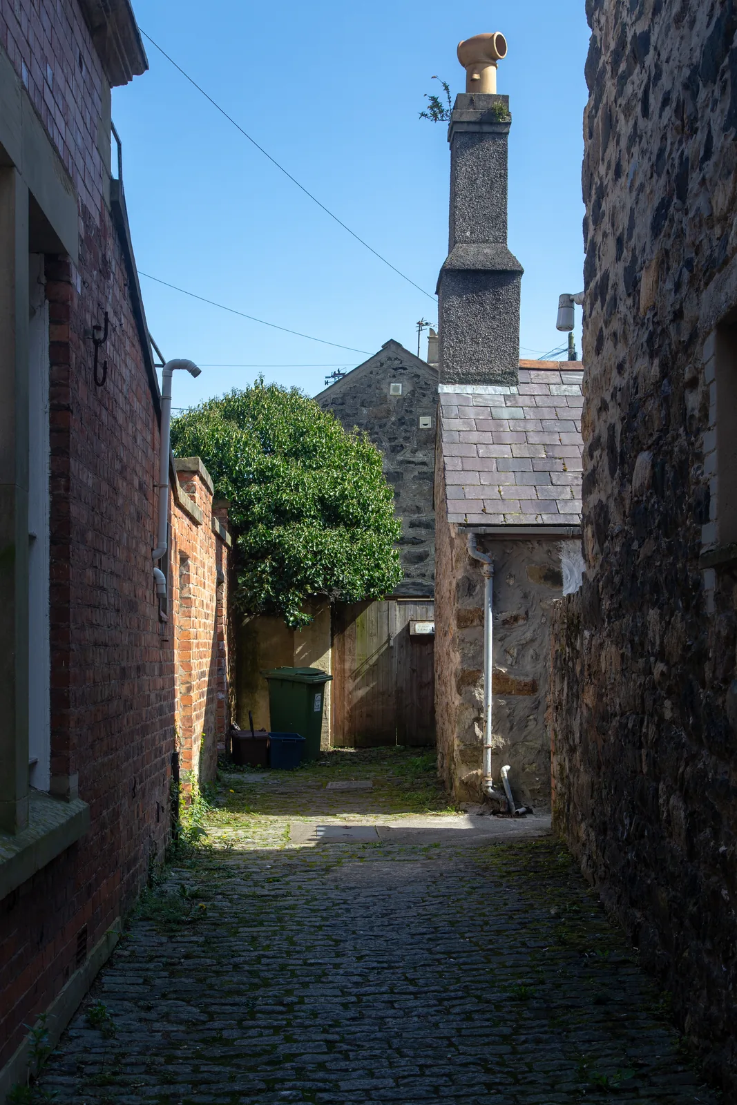
Neuadd Dwyfor’s brick front, and the lanes behind it.
Four hundred metres downhill to the boatyards and the mud.
The shops first, while the town is awake.
South-west past the West End to the seafront and the sand.
Pick up the quayside and follow the water east.
Hulls ashore on cradles, and the cranes that put them there.
The mast forest, and the two rivers meeting behind it.
Penlan Street and Neuadd Dwyfor, then down onto Y Maes.
Out along the seafront, then back towards the water in town.
Check the tide: it decides whether this is water or mud.
Along the quay edge past the pontoons and the boatyard.
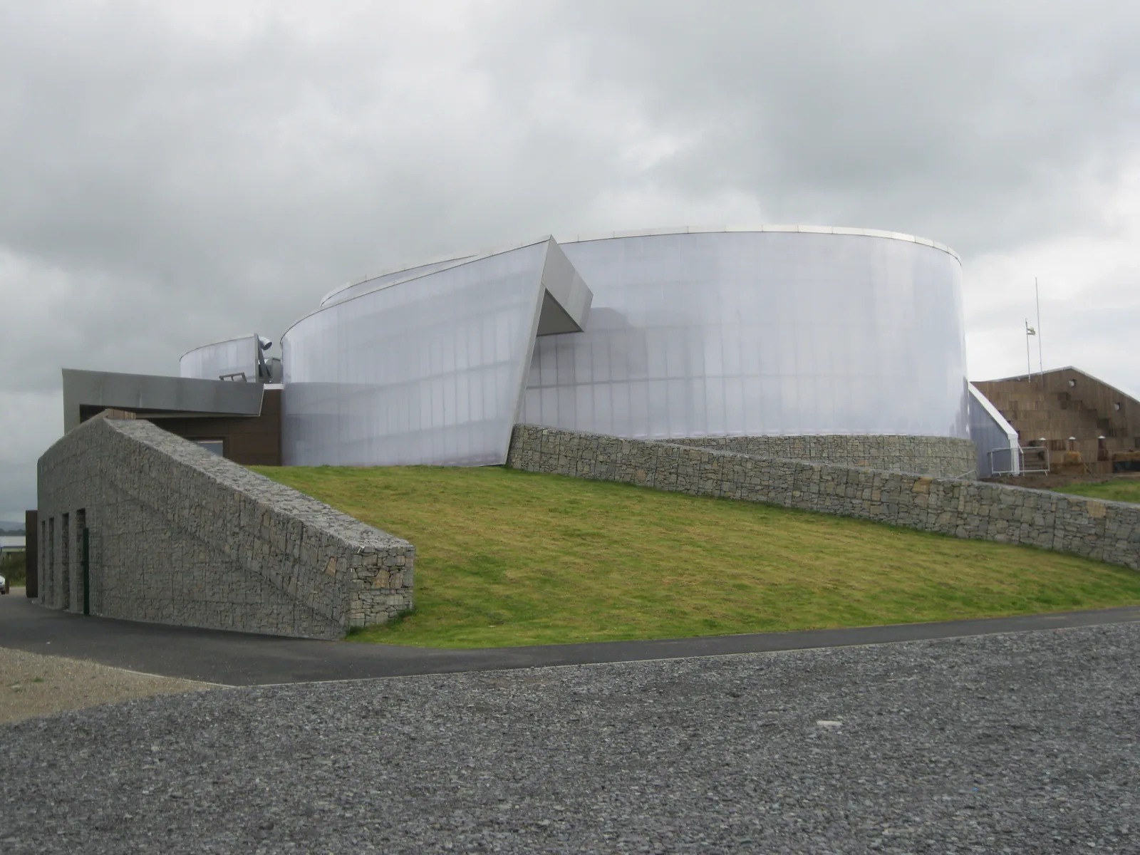
The academy at the end of the quay, and the racing water past it.
The lifeboat shore, the quarried rock, and the way back.
Practical
Everything you need for arriving and getting around.
Getting here
The A499 arrives from Caernarfon in the north and continues south-west towards Llanbedrog and Abersoch; the A497 comes in from Porthmadog and Criccieth. Cyngor Gwynedd runs three car parks in the town: Y Maes, Cei’r Gogledd and Penlan.
Open Y Maes car park in Google MapsPwllheli is the north-western terminus of the Cambrian Coast Line: the line ends at the buffers a short walk from Y Maes. Transport for Wales services run towards Machynlleth, Shrewsbury and Birmingham International.
Check current timesPwllheli is the peninsula’s bus interchange, with services out along the Llŷn and north towards Caernarfon. Frequencies vary by route and season and are not published here.
Traveline Cymru journey plannerPractical details
Seven Cyngor Gwynedd car parks, from Y Maes on the market square itself out to the Promenade at South Beach. Charges apply at all of them; payment is by cash or the PayByPhone app.
Check Cyngor Gwynedd’s car parks and chargesCharges and restrictions can change. Check the signs when you arrive.
Y Maes
The square itself · short stay
Google Maps (opens in a new tab)Penlan
Penlan Street · town centre
Google Maps (opens in a new tab)Cei’r Gogledd
North quay · short stay
Google Maps (opens in a new tab)Penmount
By Penmount · long stay
Google Maps (opens in a new tab)Abererch Road
North of the centre · long stay
Google Maps (opens in a new tab)Lower Cardiff Road
West of the centre · long stay
Google Maps (opens in a new tab)Promenade
South Beach · Embankment Road
Google Maps (opens in a new tab)This is a full-service town: shops, a supermarket, cafés and pubs, banks and chemists, a theatre and cinema, and public toilets on Y Maes.
Opening hours are not published here, and no individual business is recommended.
On Y Maes; opening seasons are not published here
Neuadd Dwyfor carries the theatre, cinema and library. Check its own listings
The centre, the quay and the promenade are level and made-surface throughout. Distance rather than gradient is what makes this a long walk.
The inner harbour is a working one: yards are private and some quay edges are unfenced. No audited accessibility statement was found for the town. Treat this as a general description, not a guarantee.
About 1 km along the quay, flat
About 1.5 km, flat, and the same again back
Cyngor Gwynedd operates seasonal dog restrictions on parts of its beaches. The exact area and dates that apply to Pwllheli’s beach were not confirmed for this guide, so none are printed.
Check the current Cyngor Gwynedd orderA council Public Spaces Protection Order, not a landowner’s request: breaching it carries a penalty
Read the current order rather than a summary: restricted areas and dates are revised
Two things reshape the town: the Wednesday market on Y Maes, and championship sailing at Plas Heli. Between 2007 and 2025 the academy hosted ten World Championships and more than 105 UK National Championships.
Check the Plas Heli calendarWednesdays on Y Maes
A championship fills the town’s beds and car parks. Check before booking
Leave the car on the square. Everything in this guide is flat walking from there, and the tide decides what the harbour will look like when you reach it.
Use Pwllheli as a base
Four real Atlas destinations pair with a Pwllheli visit: distances are straight-line from the town, not driving times.
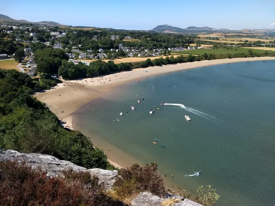
The first village down the coast, and the far end of the tramway Solomon Andrews ran out of Pwllheli: a National Trust bay, a Gothic house full of art, and a metal figure on the headland.
About 3.5 miles south-west (straight-line)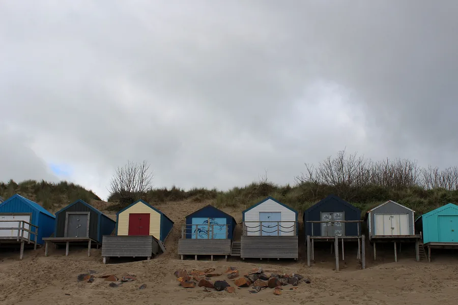
The other sailing town on this coast, and the smaller one: a yacht club racing since 1881, two beaches and a village that empties and fills with the season rather than the tide.
About 5.8 miles south-west (straight-line)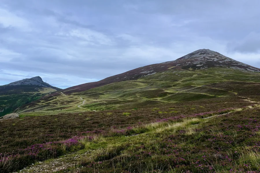
The high ground behind the town: three volcanic tops with an Iron Age hillfort on the eastern summit, and the view that puts the whole peninsula, Pwllheli included, into one frame.
About 6.1 miles north (straight-line)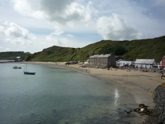
A row of cottages on a beach on the peninsula’s north coast, reached only on foot: what a Llŷn harbour looks like when no marina, road or railway ever arrived.
About 7.3 miles north-west (straight-line)Before you go
Everywhere else on the Llŷn is easier once you have walked this one flat mile.