Get the car park right, and Dinas Dinlle is a straightforward beach-and-hillfort stop near Caernarfon.
CHECK FIRST · PARKING
The beach car park has historically been free, but Gwynedd Council has been moving toward a permanent seasonal charging order: as of the last source checked for this guide, charges were proposed but not yet confirmed live. Check current car park charges before you travel.
Time needed
An hour for the beach and the hillfort · longer if you walk the shore
Best time
Clear days reach across to Anglesey
Opening, entry & booking
Open beach and hillfort, free, no booking · car park by the shore
Access & difficulty
Short, steep climb to the hillfort ramparts
Parking & start point
Large council car park at the beach · LL54 5TW
Getting there
Bus G6 from Caernarfon
Toilets, food & facilities
Toilets and a beach café/shop reported at the car park
Dogs
Ban reported on the main beach ~1 May–30 Sep · check on-site signage
Plan with confidence.Detailed information on arrival, access, facilities, restrictions and local conditions.
Opening, entry & booking
Open
The beach and the hillfort above it are open access all year, free, with no ticket and no booking.
What you pay for
Parking at the shoreside car park, where a charge may apply in season.
The hillfort
An unstaffed scheduled monument on the headland: open at all times, with no gate and no facilities.
Erosion
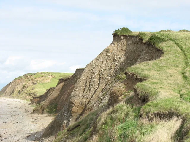
The seaward side of the fort is actively eroding into the sea; keep back from the crumbling edge and follow any closure signage.
Local rules
Beach and dog restrictions are posted on site: that signage is the authority, as no council document checked for this guide confirms the exact zones.
Parking, start point & arrival
Where
A large council-run car park at the beach itself (postcode LL54 5TW), operated via Gwynedd Council’s Maritime Service. Open the beach car park in Google Maps.
Current status
Free at last check, but a permanent seasonal order (roughly March–October) has been in active council process: this is genuinely changing, not settled.
On the Gwynedd coast between Caernarfon and Pontllyfni, next to Caernarfon Airport.
Bus
Service G6 (Dilwyn’s Coaches) runs Caernarfon–Dinas Dinlle. The operator publishes no route page, so plan door to door with the Traveline Cymru journey planner, and check the current service before travelling.
Toilets, food & facilities
Toilets
Visitor and beach-guide sources place toilets at the car park entrance; no official page checked for this guide confirms this directly.
Food
A beach café/shop is reported near the car park by the same sources. Bring your own as a backup.
Accessibility & terrain
The beach
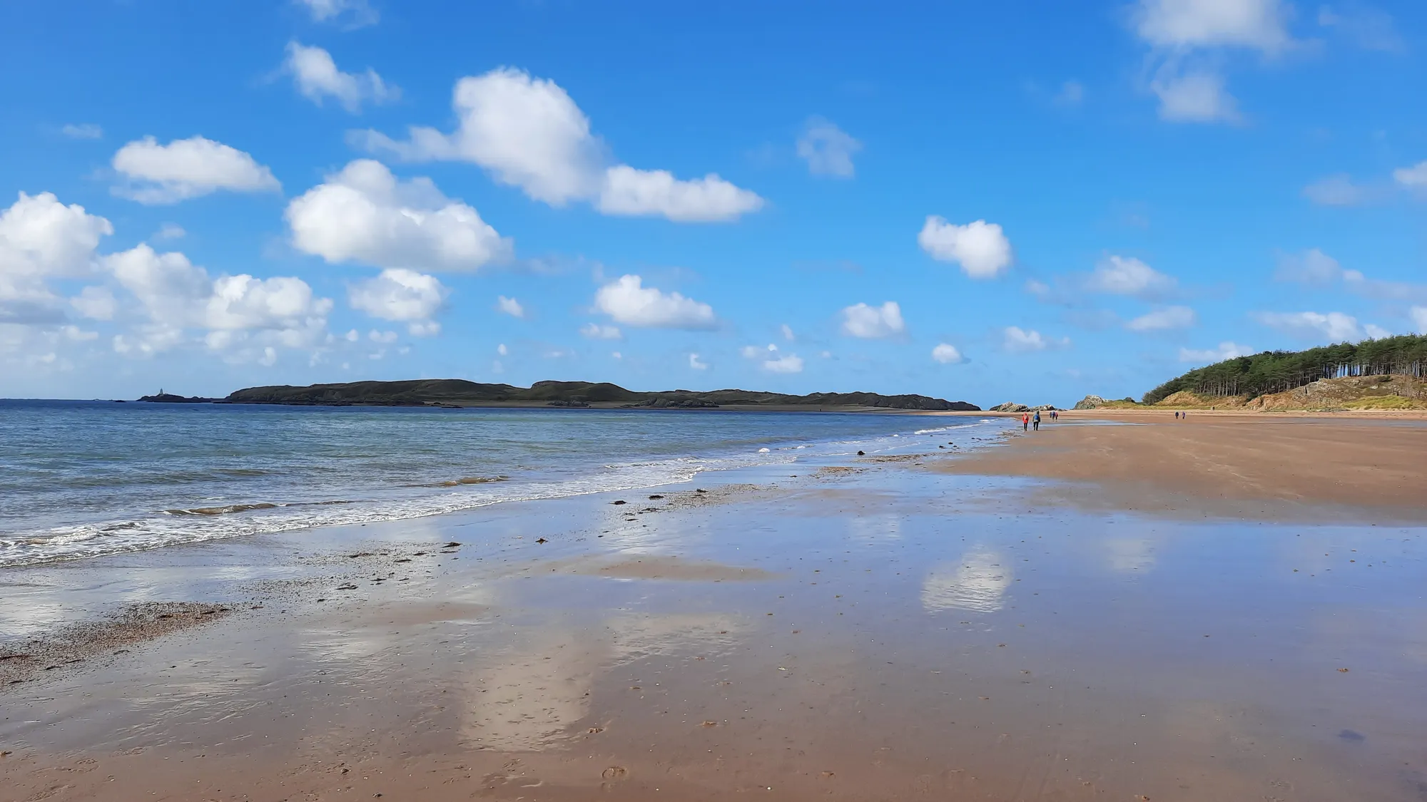
A long shingle-and-sand shore reached from a car park right beside it: the shortest walk from car to sea on this coast.
Underfoot
Steep shingle banks near the top of the beach, softer sand lower down as the tide drops.
The hillfort
A short but genuinely steep grass climb onto the headland, with no steps or handrail. Not suitable for wheelchairs or pushchairs.
Exposure
The headland is fully open to the Irish Sea: there is no shelter once you are up there.
Dogs & restrictions
Main beach
Visitor and beach-guide sources consistently report a ban on the main section between the breakwaters, roughly 1 May–30 September; no official council document checked for this guide confirms the exact zone wording.
On arrival
Beach signage shows the current zone and dates.
Safety, weather & local conditions
The hillfort edge
The western rampart is actively eroding. Keep well back from the cliff edge.
In the water
No source checked for this guide confirms a lifeguard patrol at this beach; follow general RNLI coastal-safety guidance.
Emergency
If you’re in danger, call 999 and ask for the Coastguard.
PLACE-SPECIFIC DETAILS
Other place details
What’s here
Beach and a scheduled Iron Age hillfort
Safety
Stay back from the eroding cliff edge
What to bring
Water
Snacks
Windproof layer
Sturdy shoes
Charged phone
Coins/card for parking
Don’t come here for a quiet ruin.
Come for a fort that’s still being lost: a hillfort whose western rampart has been retreating into the sea for over a century, with archaeologists racing the tide to record what’s left.
The beach below is the easy part. The hill above it is where the real story is.
The hill still eating into the sea.
Should this shape your day?
A straightforward beach with a genuinely steep climb to real ancient history above it.
Good fit for
an easy, drivable beach stop
anyone curious about coastal erosion and live archaeology
a short, steep walk with a real payoff
families combining a beach with a bit of history
Think twice if
you need a step-free route to the hillfort
you need a confirmed lifeguarded beach
you’re relying on toilets or food without checking first
you’re visiting with a dog in summer without checking the season
Parking changes the day
free at last check
a permanent seasonal charge is in active council process
Park up, cross the beach, then take the steep climb up to the ramparts for the view back across to Anglesey.
The climb starts gently, then the whole seafront opens up below.
One stop, seven scenes.
See the shape of the visit before you commit to it.
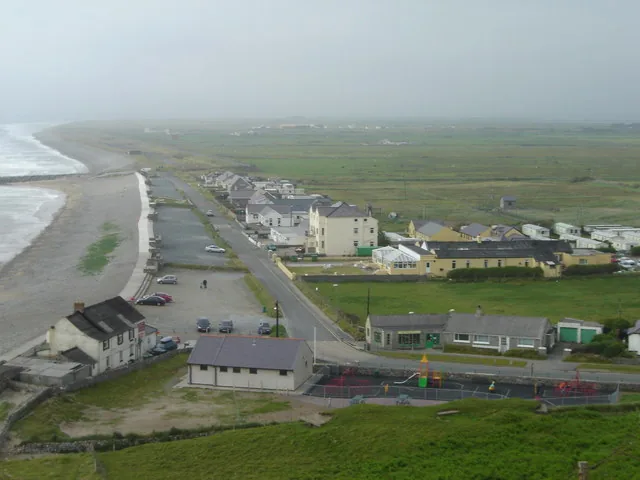
01 The car park
Postcode LL54 5TW, right at the beach.
02 Across the beach
Pebble giving way to open sand.
03 The hill rising
The hillfort’s silhouette to the south.
04 The climb
Short and genuinely steep.
05 The ramparts
Past where the roundhouse was found.
06 The eroding edge
Viewed from a safe distance back.
07 The view, then back
Anglesey and the Llŷn, then down to the car park.
Seen along the way.
Sand, ramparts and an eroding edge: the visit before you make it.
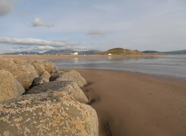
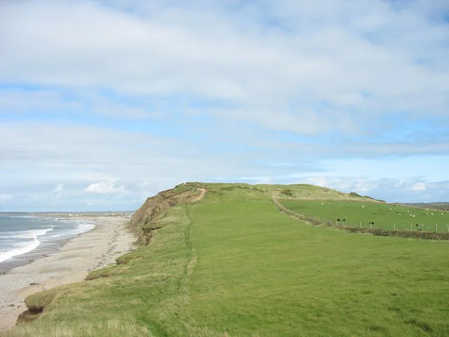
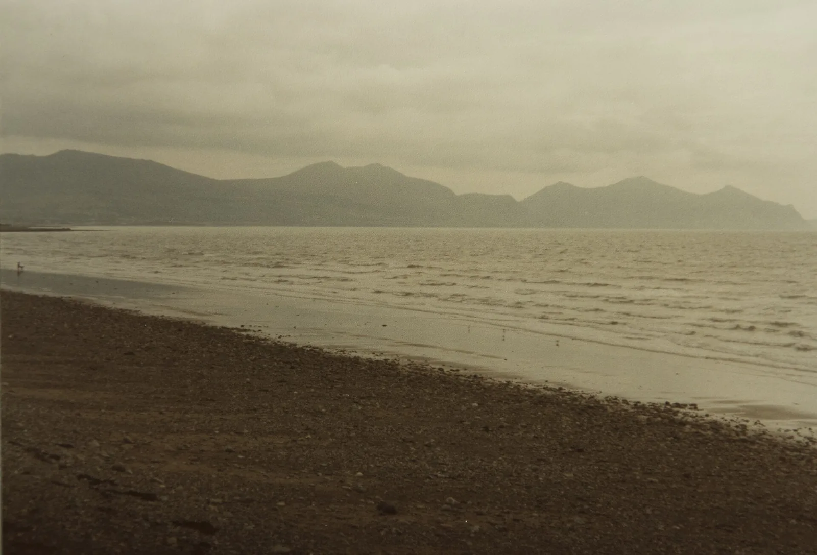
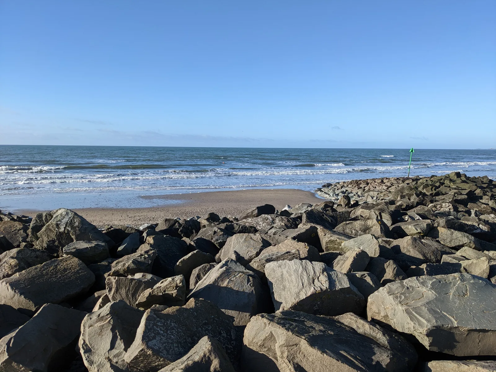
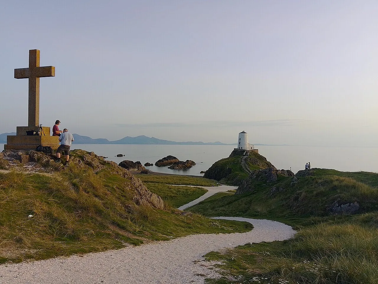
The beach at low tide, hills across the waterThe hill rising above the beach, sea on one sideThe rampart’s edge, still crumbling into the seaLooking out toward the Llŷn PeninsulaThe rocky spur that splits the beach in two
The parts people remember
Dinas Dinlle isn’t one view. It’s a beach, a climb, and a fort that’s visibly disappearing.
01
A fort losing ground to the sea
The western rampart has been retreating for over a century: a reminder that this stretch of coast is still being reshaped.
02
A roundhouse older than the rampart it sits inside
Recent digs under the ramparts turned up one of the largest Iron Age roundhouses found in Wales: still being pieced together by archaeologists.
03
A fort named for a god’s son
The name Dinlle is said to trace back to Lleu Llaw Gyffes, from the Mabinogi: a fort named for a figure out of myth, not history.
04
Anglesey, visible across the water
On a clear day the beach looks straight across to Llanddwyn Island, off Anglesey’s southern tip.
05
Light aircraft over an old airfield
The beach sits right beside Caernarfon Airport: once RAF Llandwrog, training WWII bomber crews, now a working civilian airfield.
The beach is the easy part. The hill is where it gets interesting.
Hillfort Archive
What’s known, told plainly.
Three field notes: a scheduled monument, a buried roundhouse, and a fort racing the tide.
This hillfort isn’t a settled record. It’s an active one: still being dug, still being lost, and told here as honestly as the sources allow.
Field notes
Three entries. Open one to read the note.
Protected status Fact
A scheduled monument, twice over
Field note I · filed under protected status
Two scheduled monuments share the same small hill.
What is recorded
The Iron Age hillfort carries Cadw’s Scheduled Monument reference CN048. A separate Second World War “seagull trench” earthwork on the hillfort’s north slope is scheduled in its own right.Secondary source
What to notice there
Two very different centuries of history sit on the same hill: prehistoric ramparts and a 20th-century wartime earthwork.
Excavation Fact
A roundhouse under the ramparts
Field note II · filed under excavation
Digs in 2019 and 2022 found more than anyone expected.
What is reported
Excavations by Gwynedd Archaeological Trust and RCAHMW, under the EU-funded CHERISH project, uncovered a large Iron Age roundhouse and Roman-period coins and pottery.Secondary source
What to notice there
The excavated area sits within the ramparts you walk past on the climb. Look for the consolidated footings.
Coastal erosion Fact
Racing the tide
Field note III · filed under coastal erosion
The fort has been losing its western edge for over a century.
What is reported
Ongoing coastal erosion has been retreating the hillfort’s western rampart since at least 1900, prompting the EU-funded CHERISH project’s monitoring and excavation work at the site.Secondary source
What to notice there
Stand well back from the western edge: what you see today may not be there in a few decades.
Don’t let the day end at one beach.
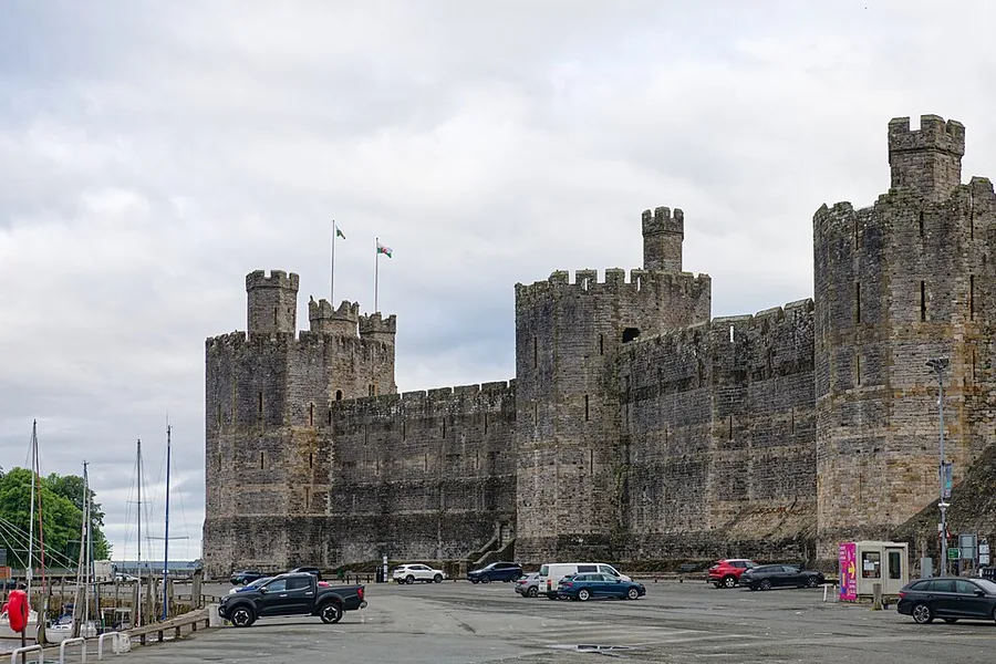
Four stops that turn one beach into a wider Gwynedd & Anglesey day.