Porth Fawr, the main beach
A sheltered south-facing beach with a slipway and a marked zone keeping swimmers clear of the boats.
Llŷn Peninsula · Gwynedd
A sheltered south-facing beach, a sailing club that has raced here since 1881, and a colony of beach huts a century old, with a wilder beach ten minutes down the road.
01The village
Abersoch sits at the south-eastern corner of the Llŷn Peninsula, where the road runs out. The village centre, the outer harbour on the Afon Soch and Porth Fawr — the sheltered main beach — are all within a short walk of one another, with a colony of beach huts on the headland above the sand and the yacht club racing off it through the summer.
Two beaches ten minutes apart could hardly be less alike. Abersoch’s bay is sheltered, shallow and busy with small boats; Porth Neigwl, over the hill, is open, wild and genuinely dangerous. Knowing which one you have driven to is the whole of the local knowledge here.
Character
Abersoch grew from a fishing settlement into a watersports resort, and is busiest and liveliest through the sailing season: a lived-in Llŷn village, not a quiet cove.
Pace
The harbour, beach and centre are a short, flat walk apart; you reach the village itself by road, and park — and pay — once you arrive.
Landscape
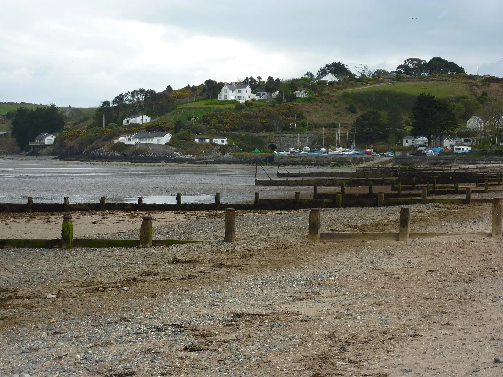
Porth Fawr faces south into a sheltered bay, with St Tudwal’s Islands offshore and dune systems along the coast to the north.
Best for
Best for a sheltered beach day with facilities close by, watersports and sailing, and anyone wanting a livelier resort base on the Llŷn.
02Discover
A sheltered south-facing beach with a slipway and a marked zone keeping swimmers clear of the boats.
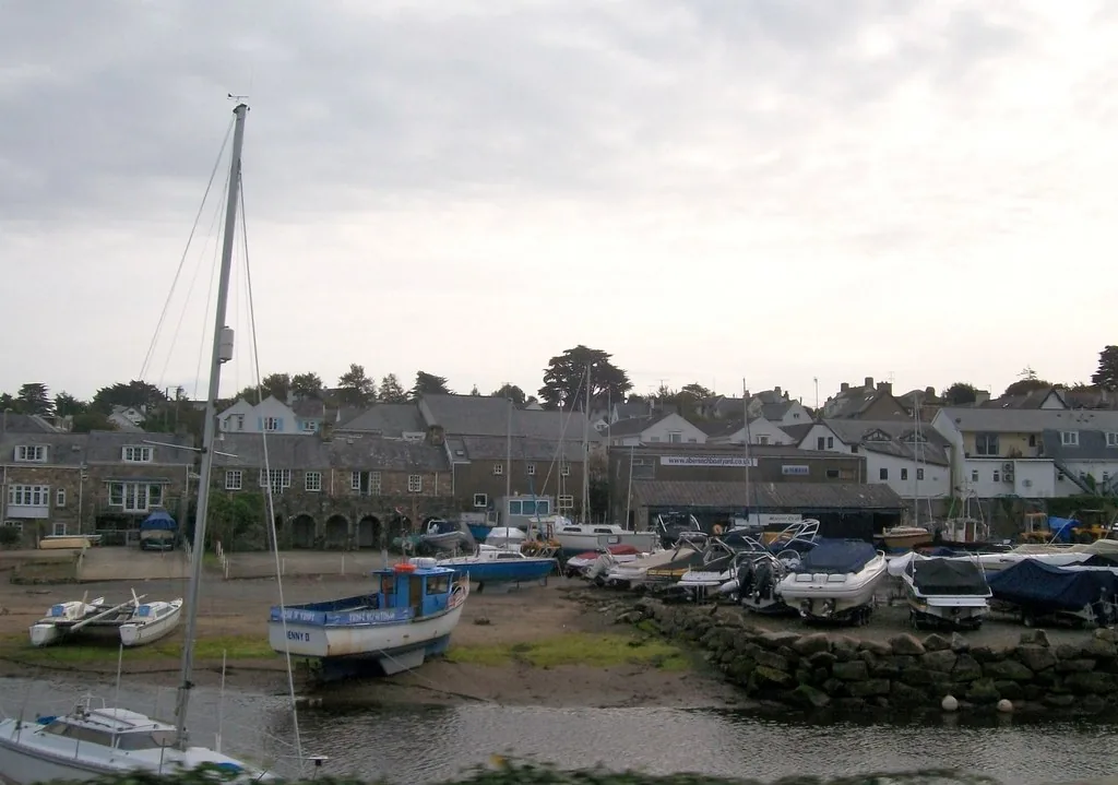
The working harbour on the Afon Soch, where the walk in first meets the water and the boats sit against the tide.
Through the season the sand becomes a working yard of dinghies, with the fleet racing just offshore.
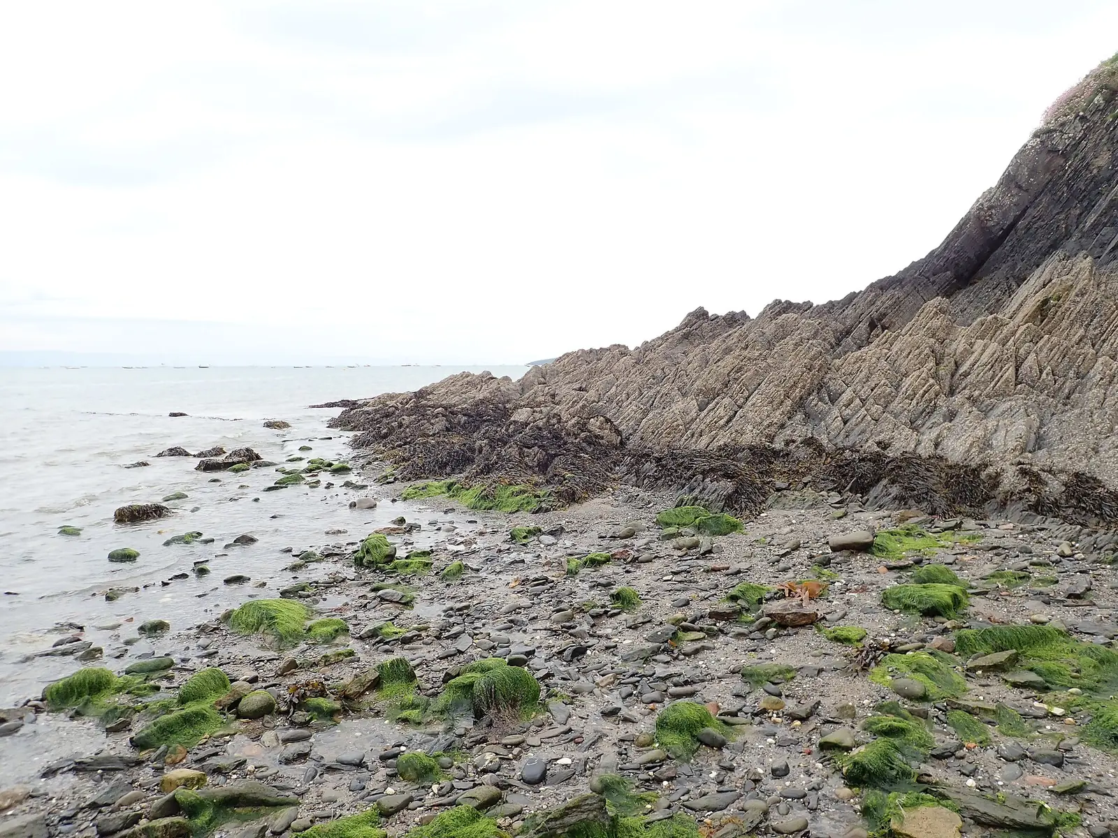
A rocky headland climbing between village and beach, with St Tudwal’s Islands lying offshore.
Beyond the first defining moments, the fuller Abersoch catalogue continues below.
A village strung between its harbour, its beach and the headland in between: four points within a short walk, at the southern end of the A499.
No verified image yet
The outer harbour
The outer harbour on the Afon Soch at Pen Cei: the walk in’s first sight of the water.
Four things to seek out around Abersoch: the harbour, the beach, the sailing club and the headland with its century-old hut colony, all within a short walk of one another. No cafés, pubs or shops are listed here; see Local life for the village’s everyday character.
Harbour
The first water you meet walking in: a small working harbour on the Afon Soch, with boats sitting on the tide line. The quietest corner of the front.
Check tide times (St Tudwal’s Roads station) (opens in a new tab)Beach
The south-facing beach the village is built around, with a marked zone keeping swimmers clear of the sailing traffic. The easy half of a two-beach day.
Check seasonal dog restrictions (opens in a new tab)Sailing heritage
The reason Abersoch reads as a sailing village rather than a resort. Not a visitor attraction: a working club whose open weeks fill the village.
Viewpoint & landmark
Climb between village and beach and the whole bay opens, with St Tudwal’s Islands offshore. The painted huts on the slope are private; the view is the point.
Lifeguard cover, watersports arrangements and the sailing calendar all run to the season and can change year to year. Confirm current details before you plan a day around them.
South Caernarvonshire Yacht Club03Story
Abersoch — aber, a river-mouth or estuary, and the river Soch — began as a fishing village where its river meets the sea, and grew, across the last century, into the sailing and beach resort it is now.
Before the huts and the yachts, Abersoch was a fishing settlement where the Afon Soch meets the sea. The harbour at Pen Cei still marks that older working shore.
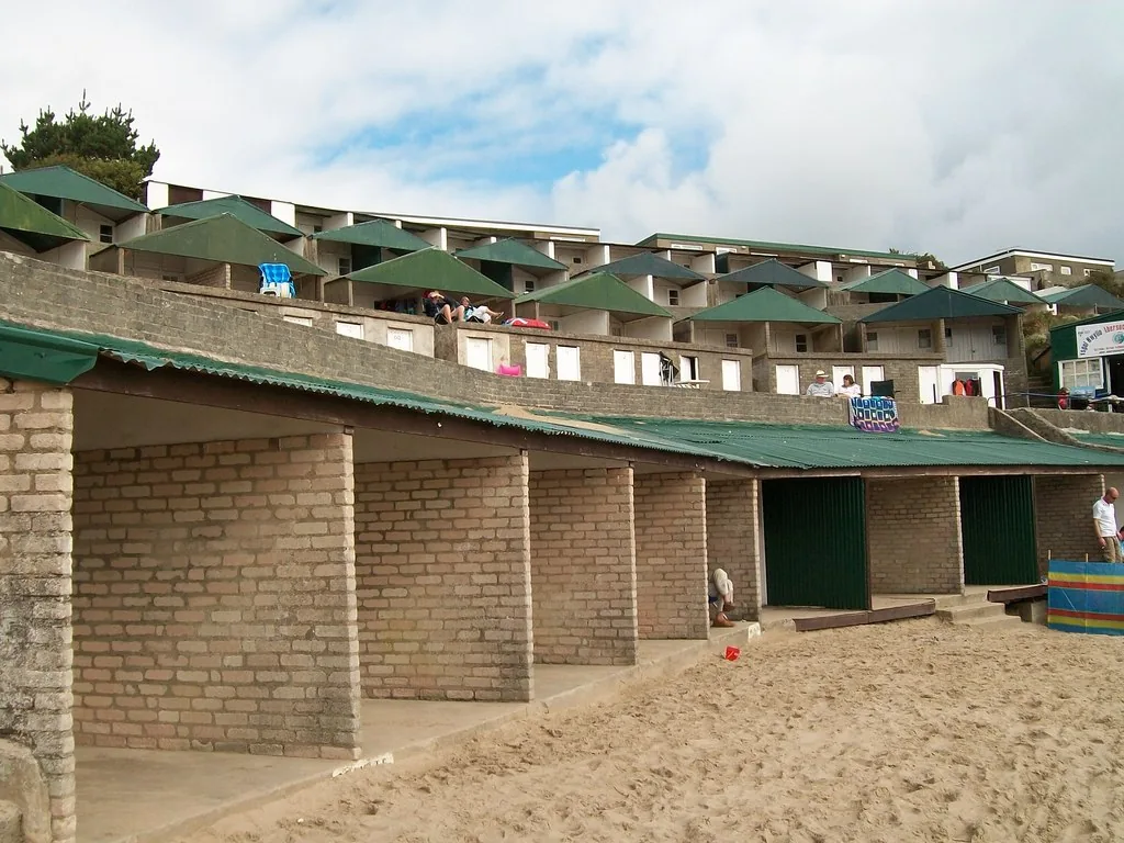
From 1910, local farmers began hiring out boats, huts and deckchairs on the headland above the beach: the first turn from fishing village toward seaside resort. A bungalow, tea room and sweet shop had followed by 1924.
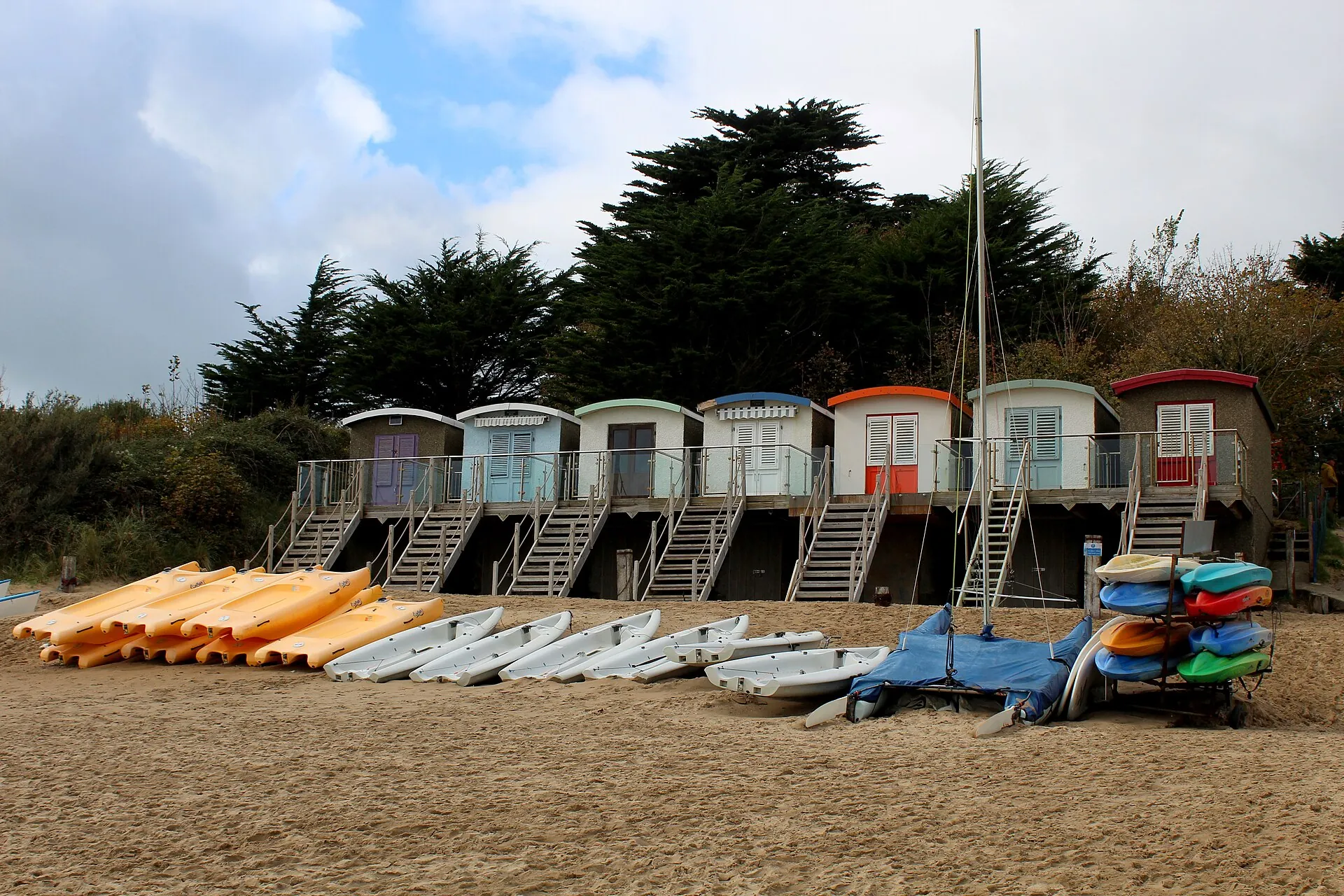
A flood in October 1918 washed away around thirty of the wheeled “bathing vans” that came before the huts. The tiered beach huts that replaced them, from about 1925, are the colony still on the headland today.
Village regattas had run since 1881; in 1924 they gathered into the South Caernarvonshire Yacht Club, its first clubhouse built in 1925. The club has raced off Porth Fawr ever since, and still sets the village’s summer calendar.
Tourism from the 1950s onward reshaped Abersoch into the watersports and beach resort it is now: busy in summer, quieter off-season, but still a lived-in Llŷn village underneath.
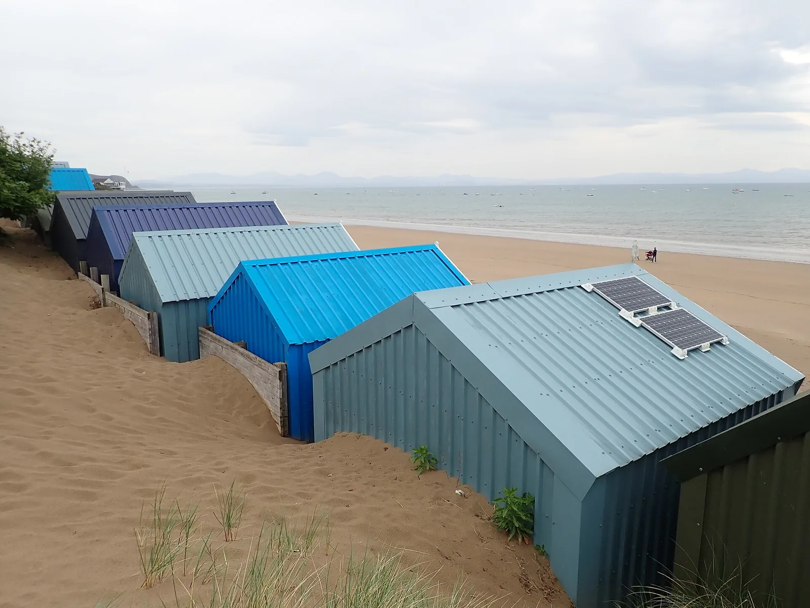
A fishing village that rented out its first boats in 1910, and has been a sailing one ever since.
Atlas of Wales
Abersoch is busiest, and best known, in summer, but it is a lived-in Llŷn village first. Everyday life gathers along Stryd Fawr and around the harbour and beach, where shops, cafés and pubs sit a few minutes from the sand.
In the sailing season the beach becomes a working yard of dinghies and the front fills; out of season it empties, and the village settles back into itself. Residents and the visitor crowd share the same small centre.
Parking is paid throughout the village and pressure is real in summer. Arrive early, and budget for it rather than expecting a free roadside space.
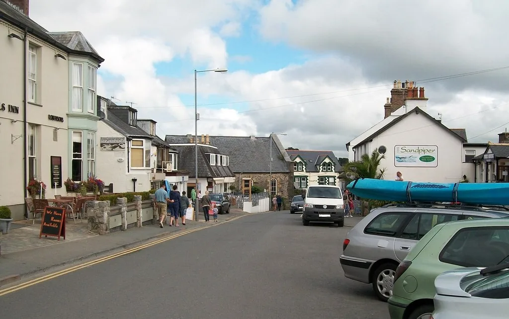
The outer harbour on the Afon Soch is the calmest part of the front: boats against the tide, and the walk in before the beach opens out.
From Easter to October the yacht club’s racing sets the pace: dinghies on the sand, boats offshore, and the village at its liveliest.
Out of the sailing season the crowds thin and the coast reasserts itself: the headland walks and the beach belong to the village again.
End-of-road character
The A499 ends at Abersoch; there is no through-coast road, which keeps the harbour, the beach and Stryd Fawr the natural focus of a visit, and concentrates the summer traffic into one small village.
Plan your timeTwo beaches sit ten minutes apart here: one sheltered and full of boats, one wild and dangerous. Knowing which is which is the whole trick of Abersoch.
Atlas of Wales
04Plan
A village car park off the A499: paid, so budget for it.
Down to Pen Cei and the boats: the front’s quiet corner.
The sheltered main beach, and the slipway.
The tiered hut colony on the headland above the sand.
A village car park off the A499; the centre, harbour and beach are a short, flat walk apart.
Pen Cei and the boats, the quiet start to the front.
The sheltered beach and the hut colony on the headland above it.
The yacht club and the racing beach, busiest Easter to October.
Up the headland for the bay, with St Tudwal’s Islands offshore.
An early start gets ahead of the crowds: summer weekends and fine afternoons are busiest, and parking fills.
Pen Cei, then Porth Fawr and the hut colony above the sand.
The racing beach and the yacht-club front, then lunch in the village.
A ten-minute drive to Hell’s Mouth: a wide, exposed surf beach with strong rip currents. A separate, more dangerous beach: check conditions and take local advice before going in.
Practical
Everything you need for arriving and getting around.
Getting here
The A499 is the road in: the village sits at its southern end. Parking is paid throughout, with no confirmed free option, so budget for it and arrive early in summer.
Open the beach-road car park in Google MapsRoute 18 (Berwyn Coaches) links Abersoch with Pwllheli, the nearest town. The operator publishes no route page, so plan door to door and check the current service before travelling. The nearest railway station is Pwllheli, on the Cambrian Coast line: there is no station at Abersoch.
Traveline Cymru journey plannerPractical details
One council car park, Y Fach, on the A499 as you come into the village. The rest are privately run and mostly pay by app: the golf club’s on Lôn Golff, the village hall’s on Lôn Gwydryn, and Williams down on the beach road. There is no confirmed free option in the centre.
Gwynedd Council car parksCharges and restrictions can change. Check the signs when you arrive.
Y Fach
A499 approach · north of the village
Google Maps (opens in a new tab)Lôn Golff
Lôn Golff · golf club car park
Google Maps (opens in a new tab)Village Hall
Lôn Gwydryn · by the village hall
Google Maps (opens in a new tab)Williams, beach road
Beach road · by the sailing club
Google Maps (opens in a new tab)Public toilets are reported at or near the main beach.
Their presence comes from visitor sources, not an official listing. Check locally before relying on them.
At or near Porth Fawr, the main beach
A beach café is also reported near the beach; seasonal facilities can change
The beach front is largely level; the older village lanes and the headland are less so.
No official accessibility guidance was found for Abersoch beach or village. Check before visiting if this matters to you.
Largely level
Steps, slopes and uneven ground, not confirmed per site
The sheltered main beach, with a marked swimming zone and seasonal lifeguard cover, suits families.
Porth Neigwl (Hell’s Mouth), ten minutes away, has strong rip currents: it is not a family paddling beach.
Porth Fawr: sheltered, with a zone keeping swimmers apart from the boats
Seasonal cover only: swim between the flags when it is on duty
A seasonal dog restriction covers part of the main beach, 1 April–30 September; the rest is dog-friendly year-round.
The exact zone boundary is described differently across sources and is not stated here. Check the signage on arrival, or Gwynedd Council’s dog pages, for the current zone.
The restriction covers part of the beach in summer only; away from that zone, and out of season, dogs are allowed. Always check the current signage.
Everything in this guide except Porth Neigwl is a short, flat walk from the village car parks.
Use Abersoch as a base
Four Atlas destinations pair with an Abersoch visit, spread along the Llŷn and across the bay: distances are straight-line from the village, not driving times.
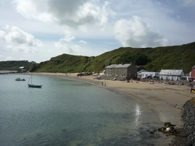
A car-free fishing headland reached only on foot, with a working lifeboat station and the Tŷ Coch Inn on the beach: the quieter, wilder harbour Abersoch’s is not.
About 8.7 miles north (straight-line)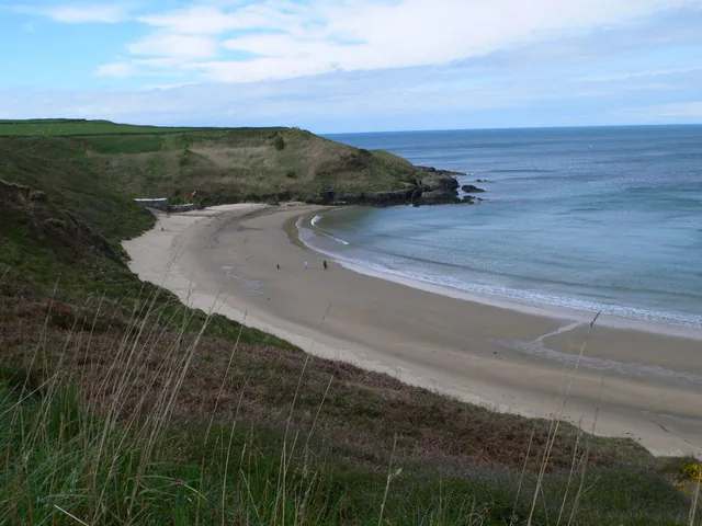
A National Trust cove near the tip of the Llŷn, its dry sand famous for whistling underfoot, with the coast path along the clifftop: a smaller, wilder beach than Porth Fawr.
About 9.1 miles west (straight-line)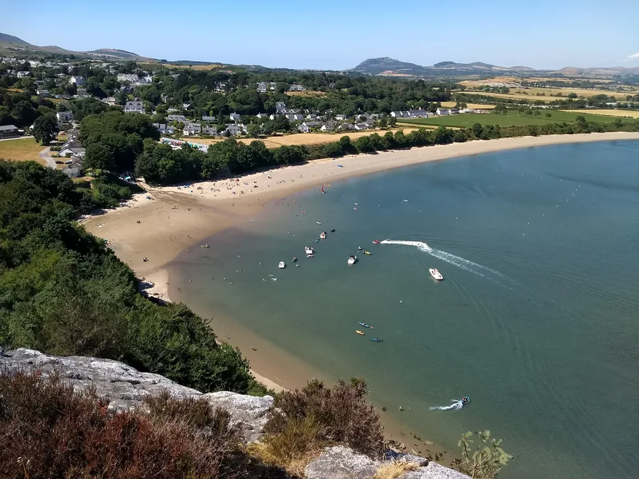
A sheltered Llŷn bay under a granite headland, with beach huts on the sand and a gallery since 1896.
About 2.6 miles north (straight-line)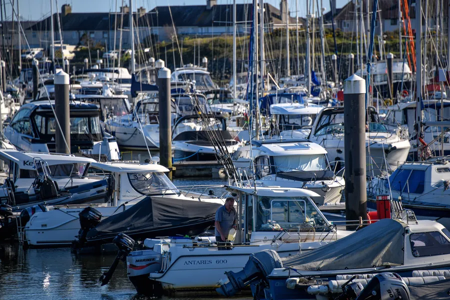
The main town of the Llŷn: a market square granted by charter in 1355 and a harbour that drains to mud.
About 5.8 miles north-east (straight-line)Before you go
The harbour, the beach, the hut colony and the headland all sit within a short, flat walk of the same car parks.