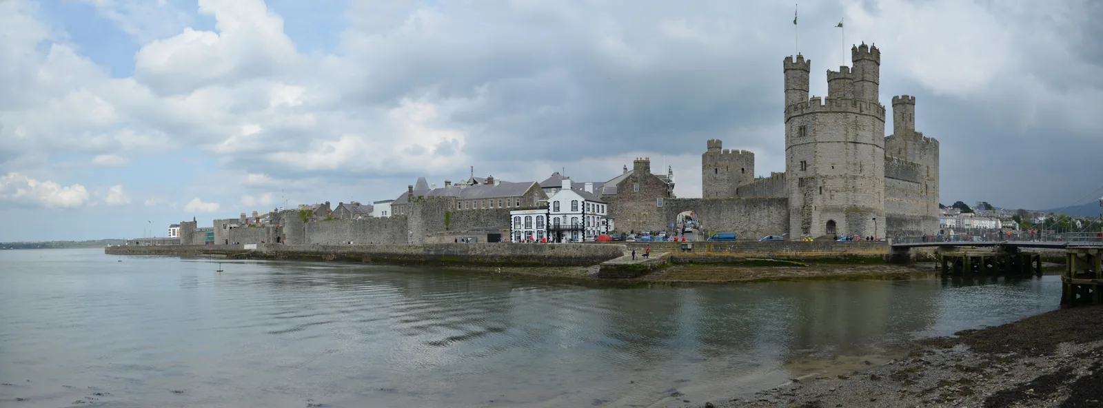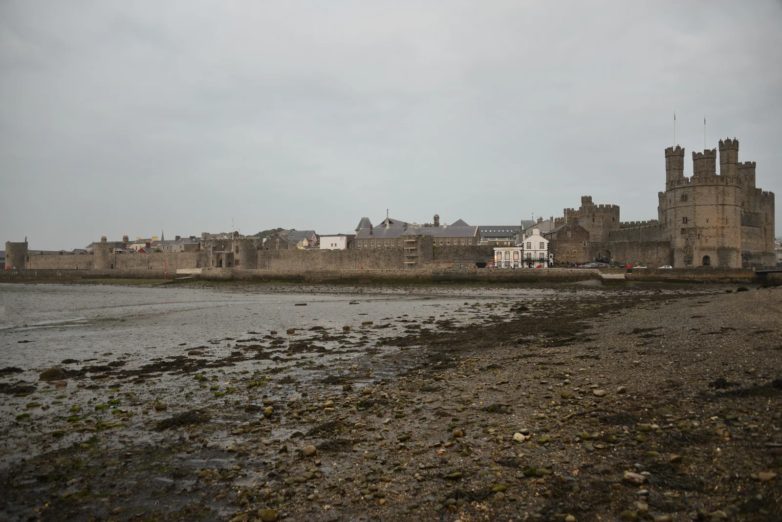
A wall the town still lives against
A complete circuit of medieval wall with front doors, shopfronts and a church built into the same stone.
Gwynedd · Menai Strait
A walled medieval borough that never turned into a museum, with houses built against the town wall and a working quay on the Strait below.
01The town
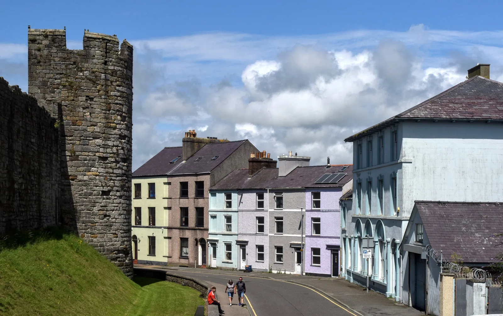
Caernarfon is a compact rectangle of streets on the Menai Strait, held inside a wall built at the same time as the castle in the 1280s. Everything in this guide except the Roman fort sits within about fifteen minutes’ walk of the square, and the wall is not a fenced-off relic: shops, houses and a church are built directly against it.
The walls carry the same UNESCO World Heritage inscription as the castle, but the town inside them is the reason to come: a working county town where the working language is Welsh, and where the medieval plan is still the street plan.
Character
At the 2021 Census one Caernarfon small area recorded 86.3% Welsh speakers: the highest density anywhere in Wales.
Pace
734 metres of wall, eight towers and two medieval gates enclose a centre you can cross in a few minutes.
Landscape
The town faces the Menai Strait where the Afon Seiont meets it, with the edge of Eryri rising immediately inland.
Best for
The walls, the square, the quay, the dock and the Roman fort cost nothing; the castle and the railway are separate tickets.
02Discover
A complete circuit of medieval wall with front doors, shopfronts and a church built into the same stone.
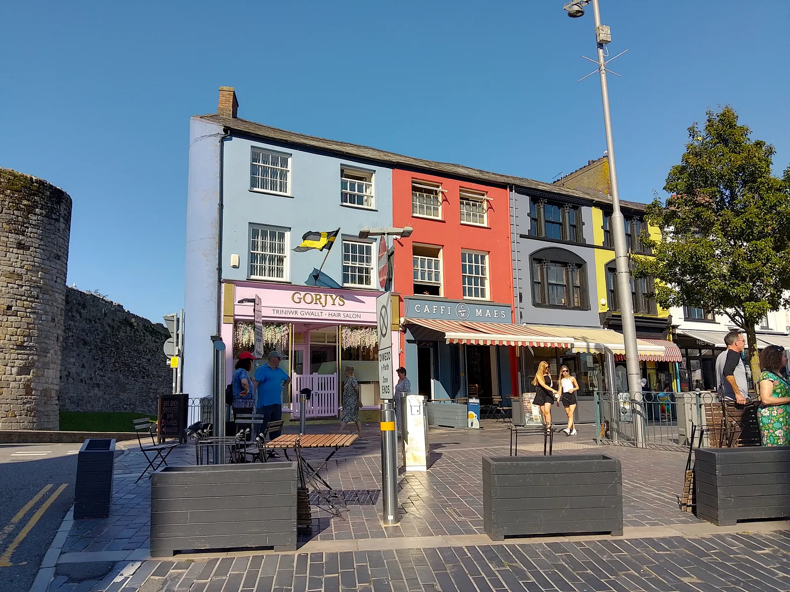
The square between the castle gate and the shops, where the town does its everyday business in Welsh.
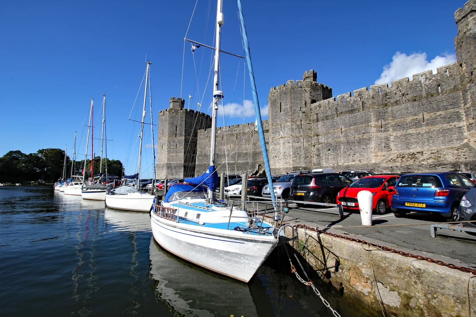
An open quay under the castle wall where the town, the Strait and the mountains line up at once.
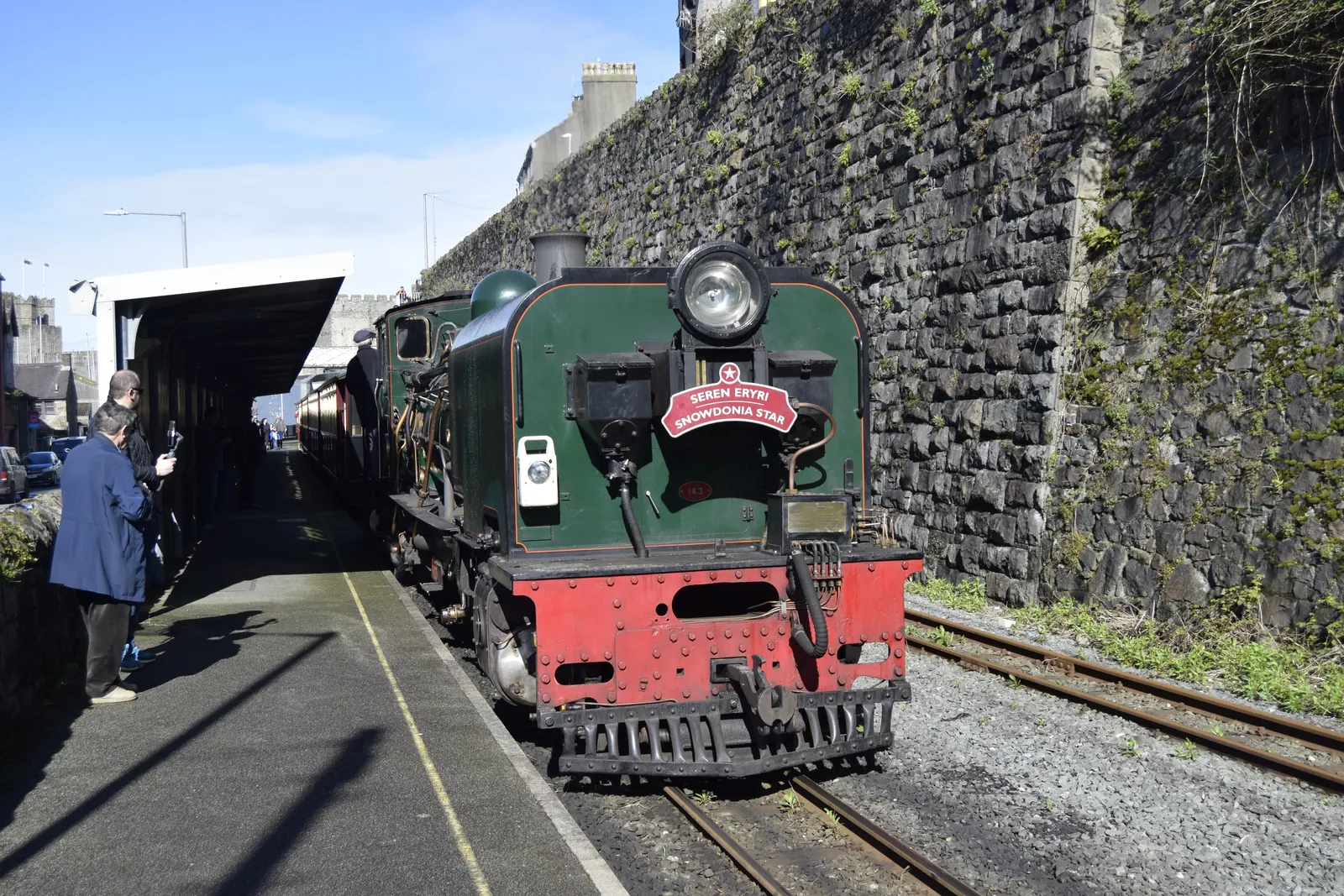
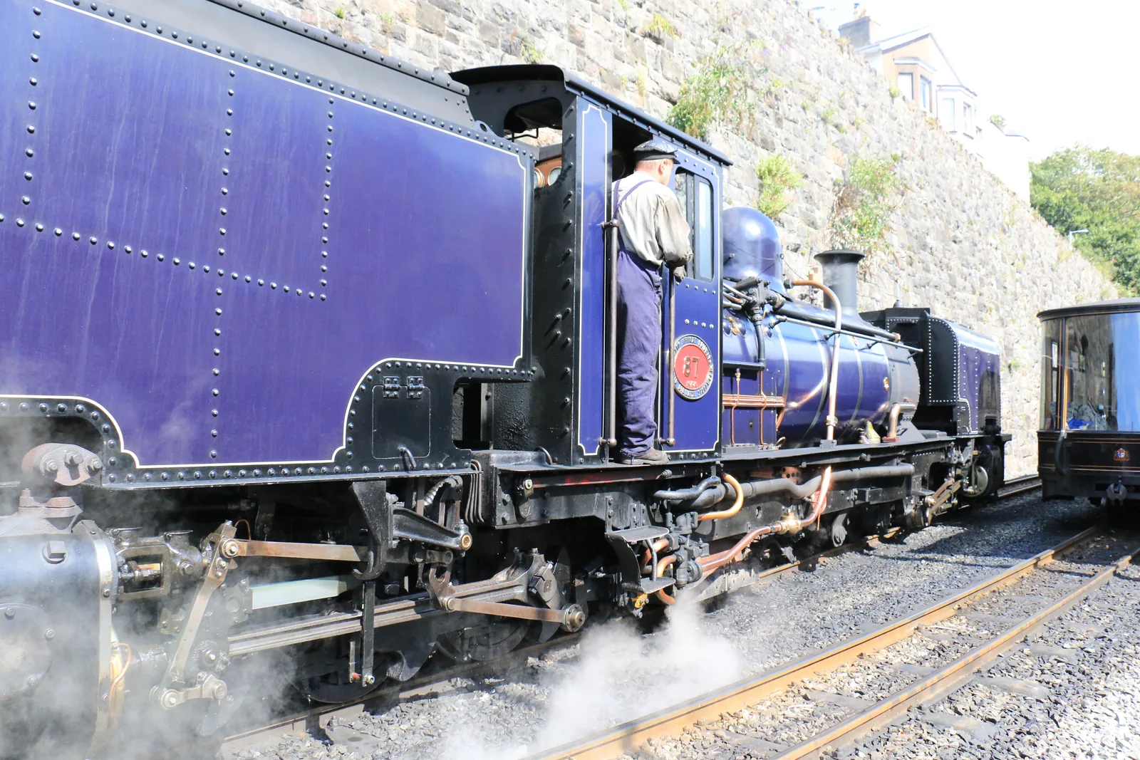
A steam train leaves from a platform sunk below the street and climbs south into Eryri.
Beyond the first defining moments, the fuller Caernarfon catalogue continues below.
Seven stops inside or beside the walls, and one Roman fort a kilometre uphill: the square is the point everything else is measured from.
 No verified image yet
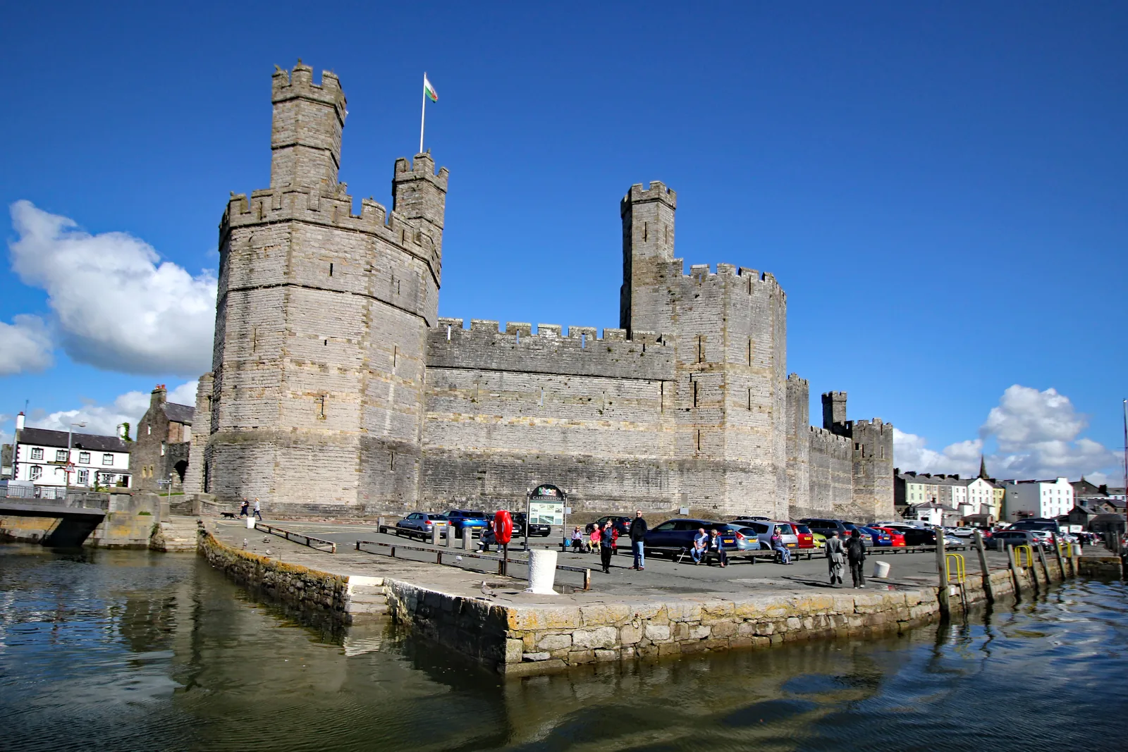
Caernarfon Castle
At the south-west corner of the walls, straight ahead as you come up from the quay.
Eight destinations: a castle, a walled circuit, a market square, a working quay, a garrison church, a marina quarter with an arts centre, a steam-railway terminus and a Roman fort. No cafés, pubs or shops are recommended here. See Local life for the town’s everyday character.
Heritage
Polygonal banded towers rising straight off the quay, deliberately echoing the walls of Constantinople rather than any English keep. Cadw runs it as a ticketed site.
Check opening times and admission (opens in a new tab)Waterfront
Yachts now lie against the wall that once loaded slate out of the valleys. It is where most people arrive, and the free, open edge of the town.
Town centre
The open square where the castle gate, the shops and the bus route all arrive at the same ground. Still the town’s meeting point, not a monument.
Heritage
A remarkably intact circuit of eight towers and two medieval gates. Only a short stretch of the wall-walk is open, so this is a street-level lap.
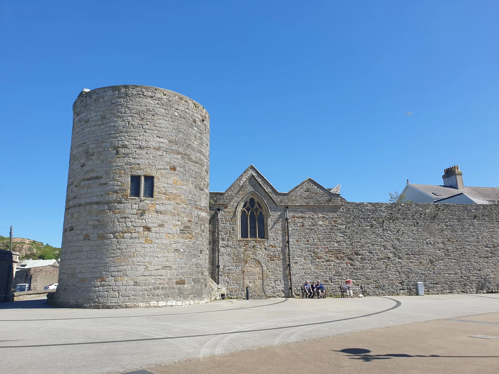
Working church
The clearest proof that wall and town are one thing: the church is built hard against it, and the wall’s round tower serves as its belfry.
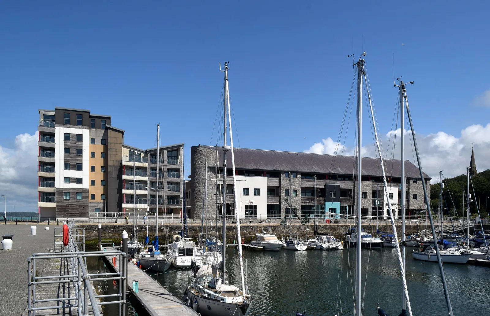
Waterfront & arts
A short walk north of the walls the town changes register entirely: a working marina, a quayside you can walk end to end, and an arts centre on it.
Check what is on (opens in a new tab)Heritage railway
Narrow-gauge steam leaves from a platform in a cutting under the terrace and runs south through Eryri to Porthmadog. Easy to miss from the street above.
Check timetables and book tickets (opens in a new tab)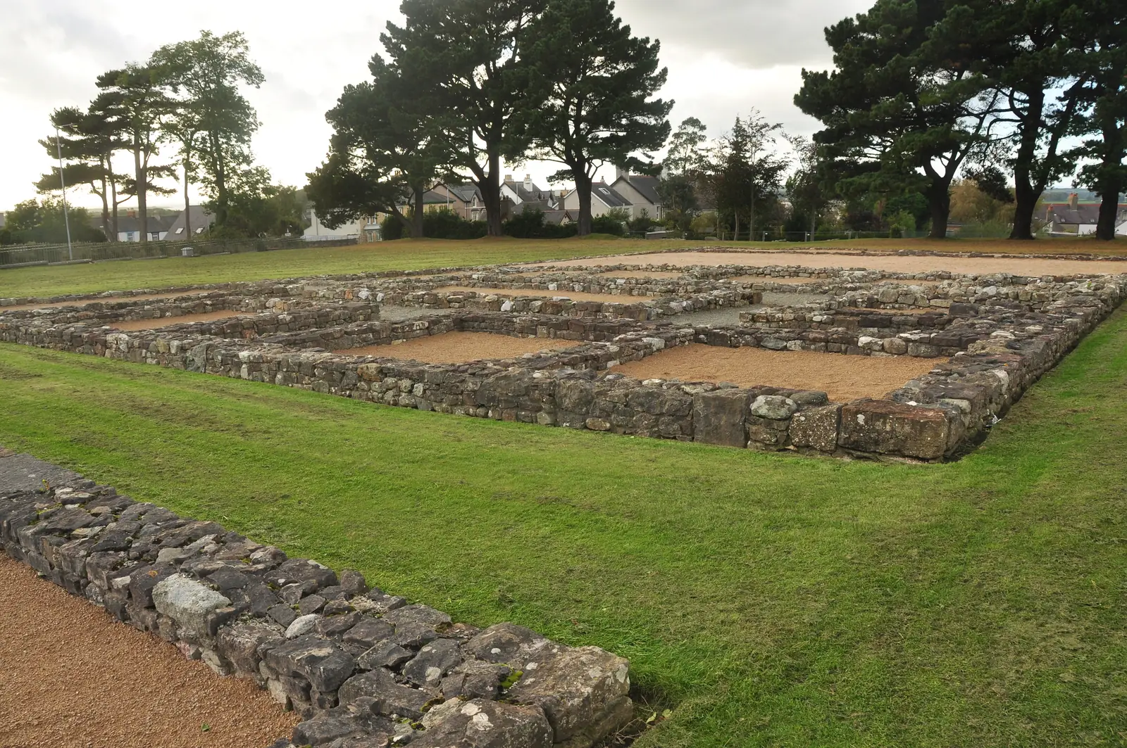
Heritage
Low footings on a grass platform above the town map out a Roman fort that held a thousand men. Free, and open all year.
Castle admission, railway fares and the railway’s operating season all change through the year. Confirm current details before you build a day around either.
Castell Caernarfon, Cadw03Story
Rome held this crossing point for three centuries before the Normans had a word for Wales. Edward I built on top of that memory deliberately, and everything since has been added inside the plan he drew.
Agricola founded the fort after crushing the Ordovices, and a thousand auxiliary infantry held it. The garrison lasted longer than at any other Roman fort in Wales, and the place survived in the Mabinogion as Caer aber Seint.
Edward I began castle, town walls and quay as a single project and chartered the borough in the same year. The 734-metre wall enclosed a grid of streets meant for English settlers, laid out where the Roman road had come down to the water.
Welsh forces under Madog ap Llywelyn took the town and destroyed nearly half the walls. Rebuilding them cost about £1,195 by November 1295: the repairs are why parts of the circuit look different from others.
Slate from the valleys inland came down to the quay, and the town became the administrative centre of Caernarfonshire. St Mary’s was rebuilt in 1811–14 by Benjamin Wyatt, architect to the Penrhyn Estate.
Royal status came in 1963 and the “Royal Town” title in 1974. The railway returned in 1997, Galeri opened in 2004, the dock reopened in 2008 and the square was reworked in 2009: each addition fitted around the same medieval outline.
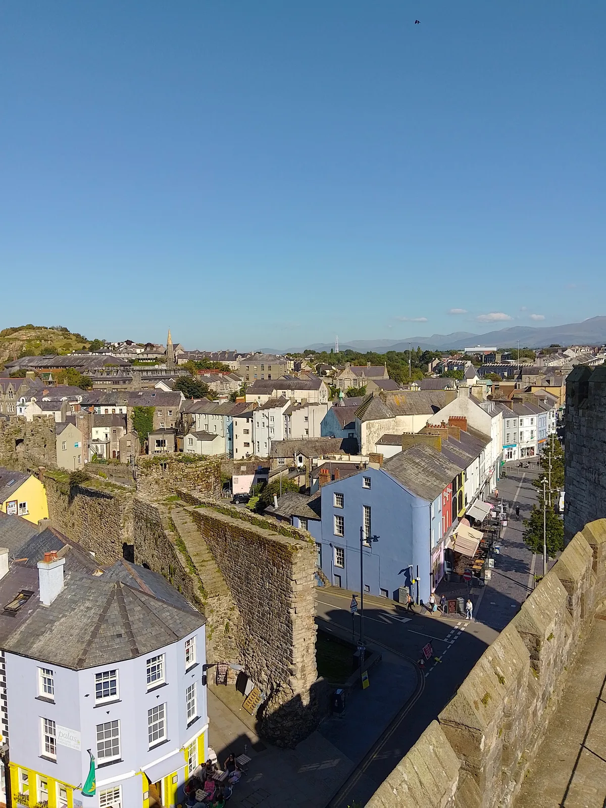
The wall was built to keep the Welsh out of the town. Seven hundred years on, it is the Welsh-speaking town that has kept the wall.
Atlas of Wales
Cafés, pubs and independent shops face onto the square and fill the streets behind it, and the conversation across the counter is far more likely to be in Welsh than in English. At the 2021 Census one small area of this town returned the highest density of Welsh speakers recorded anywhere in Wales.
Visitors and residents use the same few hundred metres. The square and the quay are busiest at midday through the summer; the streets behind them stay ordinary all year.
Most of the wall-walk on top of the circuit is closed. Plan a walk around the outside of the walls, not along them.
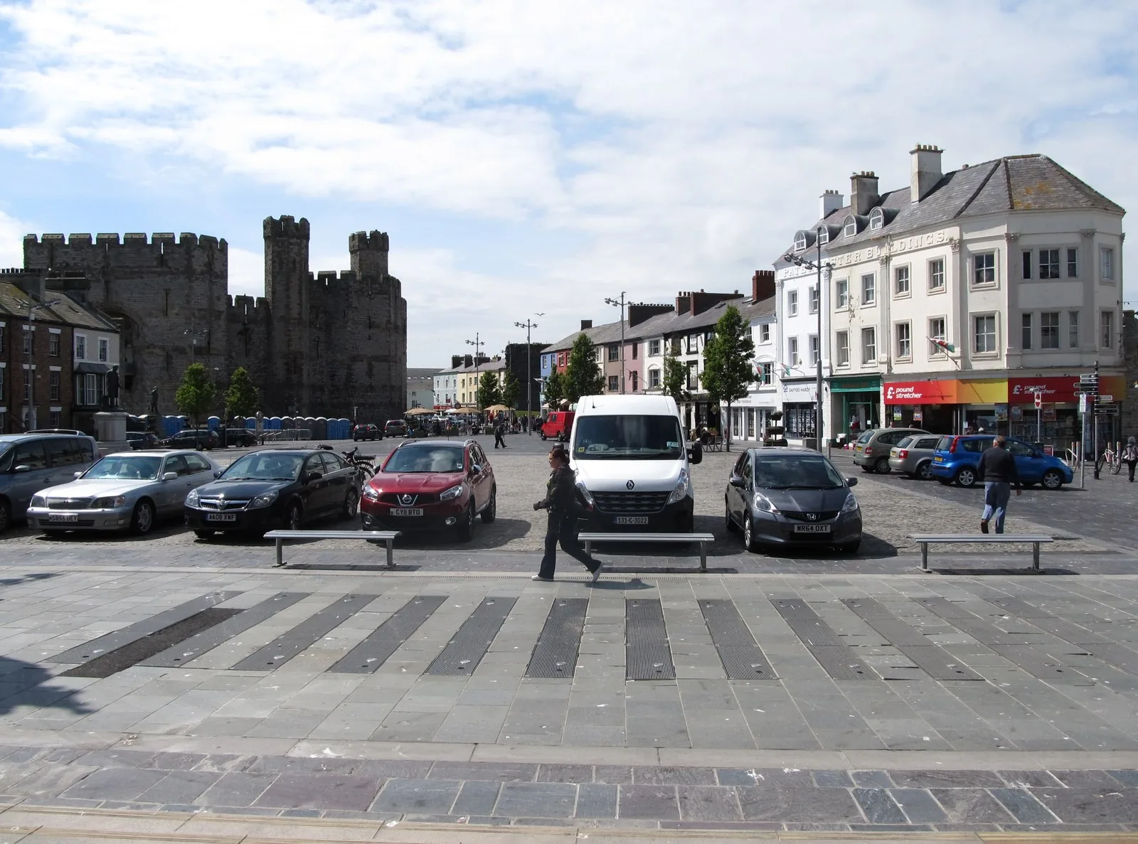
Cafés and independent shops occupy the painted frontages facing the castle, with more running back into the walled grid behind. This is the part of Caernarfon people use daily, not a preserved parade.
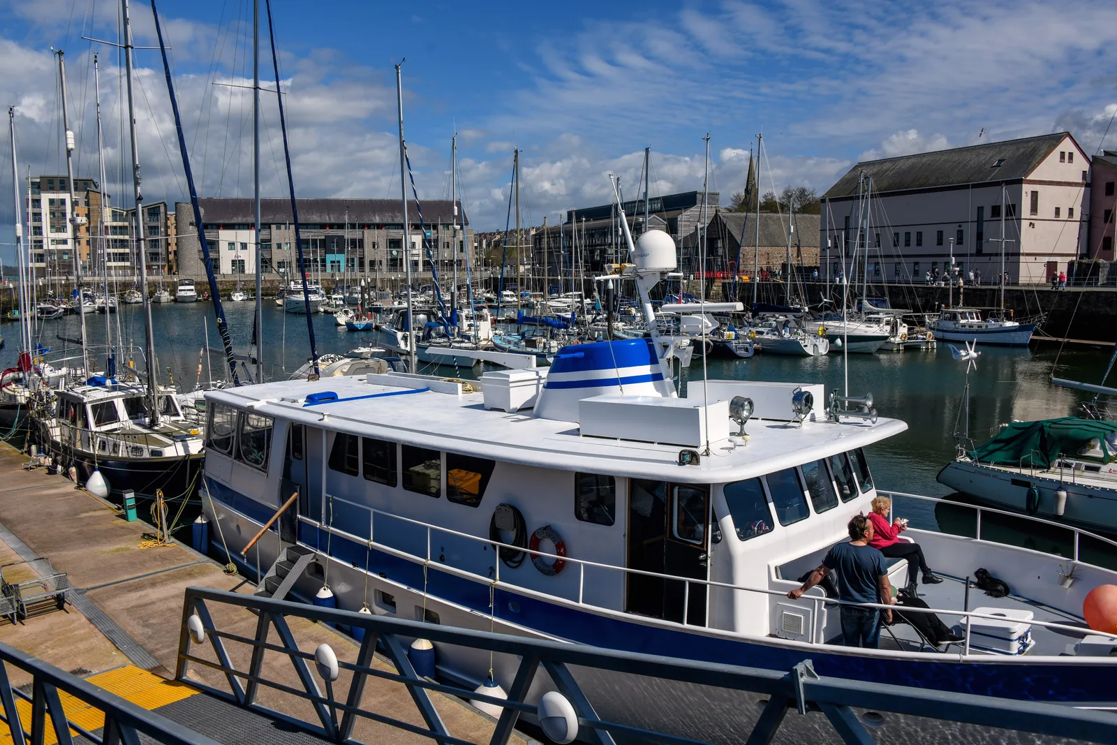
The town keeps two waterfronts: the old slate quay under the castle, and the marina at Doc Fictoria ten minutes north. Both stay in use through the winter, when the visitor traffic has gone.
Terraces run straight up to the medieval towers on Bank Quay, and a scheduled monument forms one side of an ordinary residential street. Nothing here is fenced off from the town it encloses.
The town in one walk
The circuit of the wall is the walk that explains the place: water on one flank, houses built into the stone on the other, and two gates that still tell you which side the money came from. Everything else is a short detour off it.
Plan your time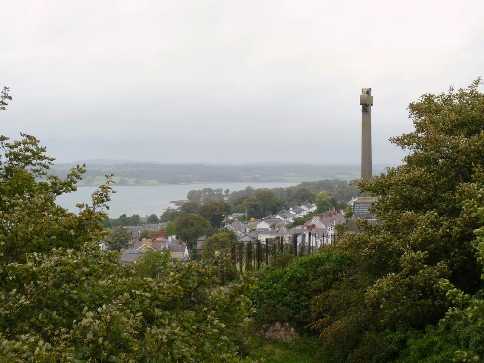
One gate was named for the land, the other for the gold that came in off the water.
Atlas of Wales
04Plan
Park on Slate Quay or arrive at the bus station just outside the wall.
The banded towers make more sense from the water than from within.
The landward gate, and the point the walled grid begins.
The square, the shopfronts, and the town going about its day.
Start on the water; step inside the castle here if you want the ticketed visit.
Cross the square and pick up the wall on its far side.
Where the terraces meet the towers: the best stretch for seeing how the two grew together.
The water gate, on the Promenade, facing Anglesey across the Strait.
The church using the wall’s own tower as a belfry, at the north-west corner.
Out of the walls to the marina and Galeri, and a different century entirely.
A kilometre uphill, free and open all year, and quiet early.
The rise above the town gives the whole walled plan in one view.
The ticketed visit, and the Royal Welch Fusiliers Museum with it.
The outside circuit, both gates, and a stop on Y Maes.
Down into the cutting for the train south. Book ahead in season.
The line climbs to Beddgelert and Porthmadog; a return fills the rest of the day.
Practical
Everything you need for arriving and getting around.
Getting here
The A487 runs through the town, with the A4085 in from Beddgelert and the A4086 from Llanberis. Slate Quay is the largest car park and sits opposite the castle; Gwynedd Council runs the others.
Open Slate Quay in Google MapsCaernarfon bus station is at Poolside, immediately outside the walls on the east side: a two-minute walk from Y Maes. Arriva’s route 5 (Llandudno–Bangor–Caernarfon) and the TrawsCymru T2 and T22 all call here. Routes and times change; check before travelling.
Arriva route 5 timetableThere is no national-rail station here. The Welsh Highland Railway runs to and from Porthmadog for visitors, not commuters: daily from late March to the end of October.
Ffestiniog & Welsh Highland RailwaysPractical details
Slate Quay, on the water directly below the castle, is the obvious arrival car park — it is run by the Caernarfon Harbour Trust, so its charges and payment methods are set separately from the council’s. Eight Cyngor Gwynedd car parks ring the walled town behind it, two of them multi-storey.
Check Cyngor Gwynedd’s car parks and chargesCharges and restrictions can change. Check the signs when you arrive.
Slate Quay
Below the castle · quayside
Google Maps (opens in a new tab)Pool Hill Multi-Storey
Town centre · multi-storey
Google Maps (opens in a new tab)Ffordd y Felin
Town centre · short stay
Google Maps (opens in a new tab)Greengate Street
Below the walls · short stay
Google Maps (opens in a new tab)Crown Street
West of the walls · short stay
Google Maps (opens in a new tab)Y Galeri
Doc Fictoria · by Galeri
Google Maps (opens in a new tab)Balaclava Road Multi-Storey
North of the walls · multi-storey
Google Maps (opens in a new tab)Balaclava
North of the town · long stay
Google Maps (opens in a new tab)Doc Fictoria
Victoria Dock · long stay
Google Maps (opens in a new tab)This is the single most common mistaken expectation about Caernarfon. Only a small part of the walkway on top of the walls is open to the public: there is no continuous circuit along the ramparts. The circuit described in this guide is at street level, around the outside.
Cadw · Castell CaernarfonThe whole outside of the wall, both gates, the quay, the square and Segontium
The rampart wall-walk: mostly closed, and not a way of getting round the town
Two things here are ticketed and seasonal, and everything else is free. Segontium is open all year and costs nothing, closing only on 24–26 December and 1 January. The railway runs daily only from late March to the end of October.
Cadw · Segontium Roman FortCaernarfon Castle (Cadw, seasonal hours) · Welsh Highland Railway (late March–end October)
Segontium, the walls from outside, Y Maes, Slate Quay and the Doc Fictoria quayside
Cadw rates the terrain at Segontium “Level 2 – Easy”, though reaching it from the centre is an uphill kilometre. The walled streets, the quay and the Doc Fictoria quayside are largely level.
No town-wide access audit of the ordinary streets was found: this covers only what the operators publish.
Cadw terrain rating: Level 2 – Easy. Roadside parking for a small number of vehicles only
Cadw rates its interior strenuous, with spiral staircases. See its own guide page
Each site sets its own rule. Cadw welcomes dogs on short leads at Segontium. At the castle, assistance dogs only are permitted April–October, and dogs on leads on the ground floor November–March.
No town-wide dog control order has been confirmed for this guide. Check locally rather than assuming one policy covers the whole town.
The outside of the walls, the square and both waterfronts are ordinary public streets: it is the ticketed sites that each set their own rule.
Everything in this guide except Segontium is inside, or immediately beside, the town walls.
Use Caernarfon as a base
Four real Atlas destinations pair with a Caernarfon visit: distances are straight-line from the town centre, not driving times.
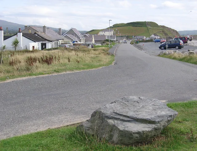
A long shingle beach under an Iron Age hillfort whose western rampart is falling into the sea: the nearest open coast, and a different kind of fortification entirely.
About 4.5 miles south-west (straight-line)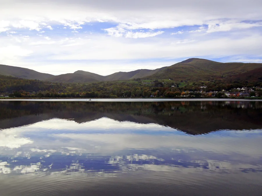
The slate village at the foot of Yr Wyddfa, on a lake between two quarry mountains: the source of much of the slate that once left Caernarfon’s quay.
About 6.1 miles east (straight-line)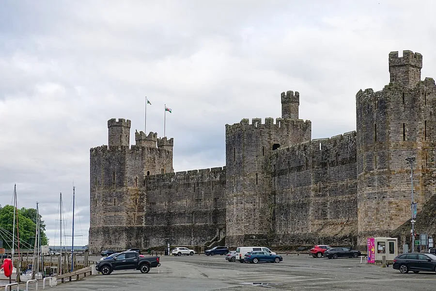
Edward I’s Gwynedd fortress, its banded towers still standing whole above the strait.
About 0.1 miles west (straight-line)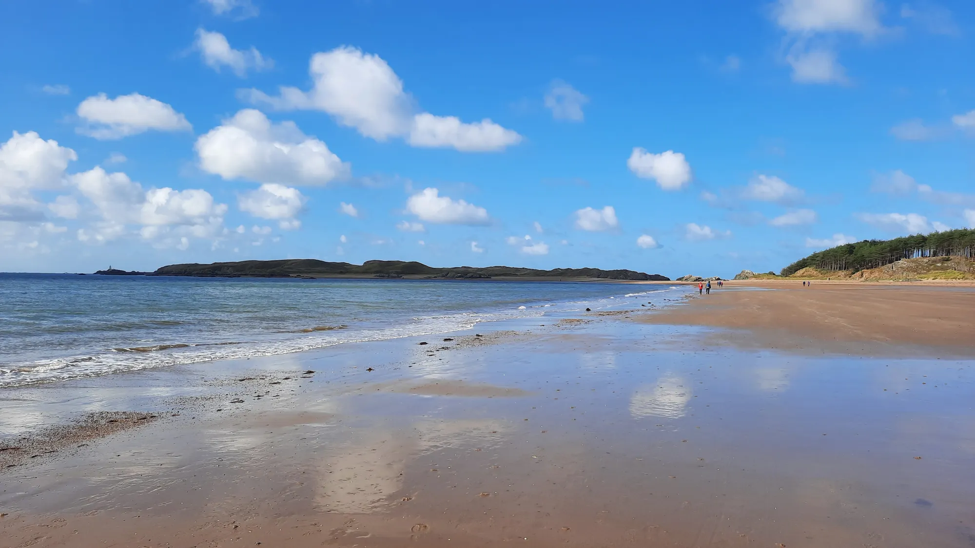
A long sweep of sand and pine forest opening toward Llanddwyn and the mountains beyond.
About 4.7 miles west (straight-line)Before you go
Walk the outside of the wall and you are following an argument that the town has already won.