At the top
The trig point
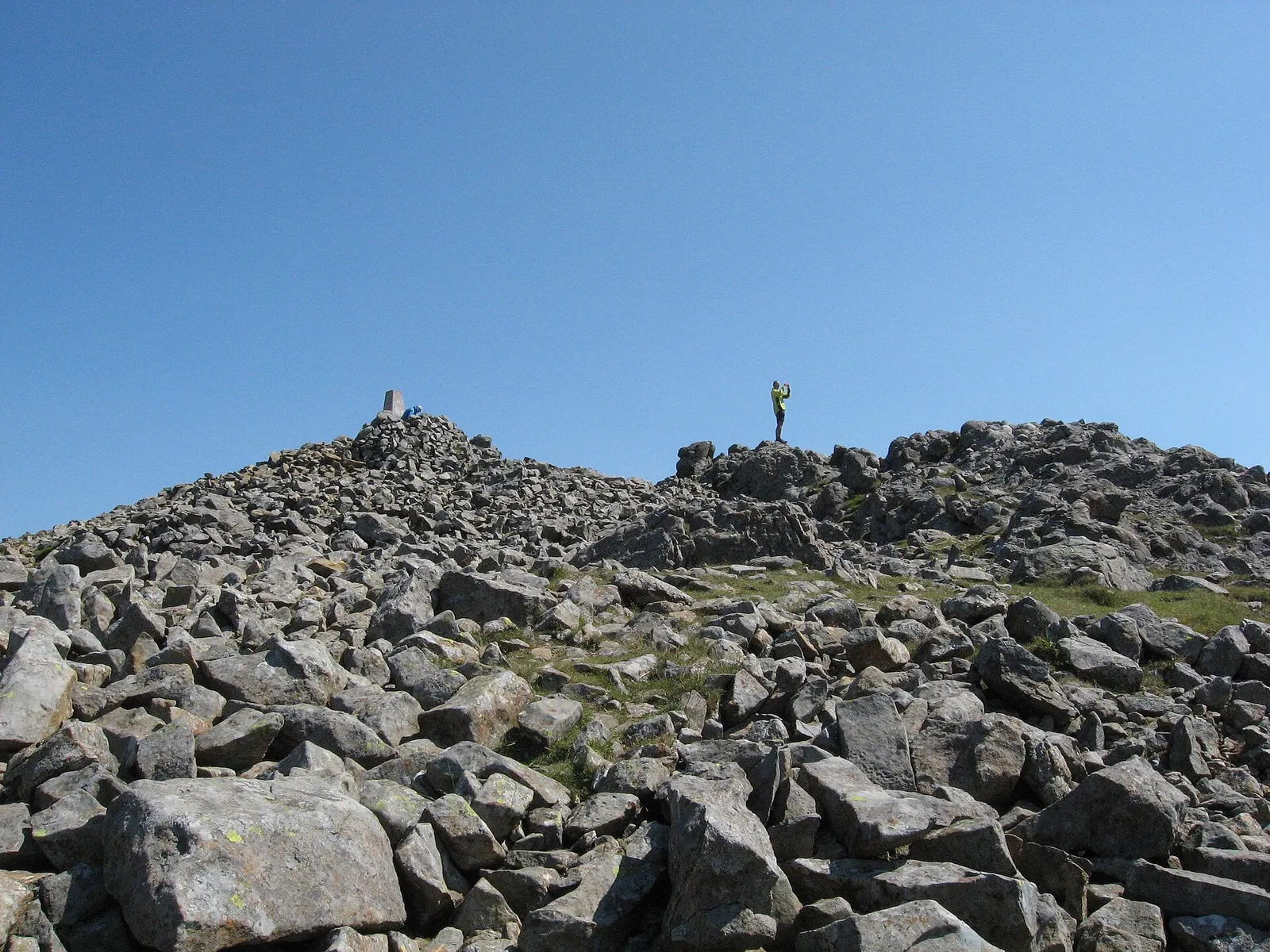
The trig pillar on Penygadair, 893 m, set on its cairn of stones: the highest point of the Cadair Idris range, and the summit marker for one of Eryri's best-known peaks.
Eryri · Gwynedd · Mountain
Two official routes climb into a glacier-carved cwm on the roof of southern Eryri, and low cloud hides the summit more often than it shows it. What the day asks depends on the line you choose.
The Chair of Idris: an 893 m mountain in the south of Eryri, its summit cwm holding the lake Llyn Cau, reached by two officially graded National Park routes, the steep Minffordd Path and the popular Pony Path. Both are Hard/Strenuous with sections of scrambling, so read the routes before you read the weather.
Choose your lineChoose your route
Eryri National Park publishes two graded routes to Penygadair: the short, steep Minffordd Path and the longer, popular Pony Path, with a longer southern alternative besides. The board below redraws to your line: its terrain, its shape, its numbers.
Walking routes
Practical brief
The short, steep climb into Cwm Cau and up the rim above Llyn Cau.
The popular northern route from near Dolgellau: longer, but steadier.
A longer, gentler-gradient southern approach: the least steep, but the longest day.
Route figures, parking, transport and facilities: Eryri National Park Authority (Minffordd Path, Pony Path), Natural Resources Wales and Visit Wales, checked 14 July 2026. The Llanfihangel-y-Pennant figures are approximate and carry no National Park grade. Parking tariffs, fares and seasonal hours change. Confirm current details before you go.
Before you go
Parking, buses, toilets, route starts, weather, dogs, emergency and descent planning: checked before you go.
Tariffs change — the National Park reviews them; confirm the current charge on arrival or via Natural Resources Wales — Cadair Idris (opens in a new tab).
The TrawsCymru T2 (opens in a new tab) (Bangor–Aberystwyth via Dolgellau and Machynlleth, run by Lloyds Coaches) stops at Minffordd Hotel, a short walk from the Dôl Idris start. Dolgellau, the nearest town, is the base for the Pony Path.
Frequencies and times change with the season. Check the current service before you travel rather than relying on a fixed timetable.
Dogs must be on a lead of no more than 2 metres on open access land between 1 March and 31 July, and under close control near livestock at all times: a farmer may legally act against a dog attacking livestock.
The Minffordd Path and Pony Path are the two National Park-graded routes (both Hard/Strenuous): Minffordd the steeper, more direct climb through Cwm Cau; the Pony Path longer but steadier from near Dolgellau. The Llanfihangel-y-Pennant approach is a real, longer southern line with the gentlest gradient for most of its length, but it carries no National Park grade: its distance and time come from Visit Wales rather than an official register, so treat its figures as approximate. All three converge on the same scramble near the summit and the same Fox's Path hazard on the way down.
Losing the line off the summit in mist is what leads people onto the Fox's Path scree by mistake: navigation, not the climbing, is the real hazard up here. Wind accelerates hard on the exposed rim above Cwm Cau, well past anything felt in the valley, and wet rock adds real difficulty to the rim scramble on the Minffordd Path. Snow and ice reach the upper mountain in winter, and the National Park's own route guidance warns specialist equipment may be needed: an ice axe, crampons and the skill to use them, depending on conditions.
The Met Office publishes a location forecast named for Cadair Idris (opens in a new tab), and a separate Eryri/Snowdonia mountain forecast (opens in a new tab) carrying the chance of a cloud-free summit, wind at altitude and the freezing level: figures a location forecast doesn't carry; MWIS (opens in a new tab) adds a written regional view. Read them together: none of them replaces your own judgement about summit wind, cloud, visibility, snow and ice.
No escape route off Cadair Idris is documented. Plan to reverse the way you came up, and identify your line down before you leave the summit, especially in cloud.
Do not descend the Fox's Path: it drops the north face on steep, loose scree and is not a recommended route. It looks direct on a map and catches tired walkers out.
Dial 999 or 112 and ask for Police, then Mountain Rescue. Register for emergencySMS in advance so you can text 999 if you can't get a voice signal. Give your location, what's happened, and how many are in your group.
The buses and car parks run to a timetable, not to you: none is a rescue plan. AdventureSmart (opens in a new tab) sets out the basics: the right knowledge and skills, the right weather, the right gear.
All three lines are graded or treated as Hard/Strenuous, with sections of scrambling: there is no step-free or easy way to the summit on any of them. The short, accessible-graded parkland trails at Dôl Idris are the family-friendly option at the foot of the mountain, not a substitute for the summit routes.
Sourced from Eryri National Park Authority (route pages, safety, dogs, camping), Natural Resources Wales and Visit Wales, checked 14 July 2026. Wild camping is not permitted anywhere in Eryri without the landowner's permission. Parking tariffs and bus times change. Confirm before you travel.
The reckoning
You have seen the line and the climb; the last question is the weather. Cadair Idris is a fair-weather mountain: low cloud hides the summit more often than it shows it, and the higher you go the less the valley forecast means.
The Met Office link is a location forecast named for Cadair Idris; MWIS is a regional mountain forecast for Eryri/Snowdonia. Read them together: a location forecast is not a substitute for judging summit wind, cloud, visibility, snow and ice yourself. Valley sunshine does not guarantee a clear summit, and a late start eats the daylight you need to get down. Judge the day by the top, not the car park.
The summit sits in cloud on many days. The Met Office mountain forecast publishes the chance of a cloud-free summit: a figure a valley forecast simply doesn't carry.
Bwlchau and ridge lines accelerate the wind well past the valley reading. On the exposed sections it turns people back before the gradient does.
The summit sits in cloud on many days. In mist, finding the right line off Penygadair matters far more than the view, and drifting the wrong way leads onto the Fox's Path scree.
Winter is a different mountain. Snow and ice reach the upper mountain, and the National Park's route guidance warns that specialist equipment may be required: axe, crampons, and the skills to use them. Don't attempt the summit without them.
The summit
You climb for the view, but Cadair Idris doesn't always give it up. On clear days the panorama opens from the Llŷn peninsula to the Brecon Beacons; on cloud days, the trig point and the ground underfoot are the only things you're guaranteed.
At the top
The trig pillar on Penygadair, 893 m, set on its cairn of stones: the highest point of the Cadair Idris range, and the summit marker for one of Eryri's best-known peaks.
Underfoot
Shattered rock covers the whole summit: room to stand and take it in, but ground that wants care, especially with low cloud down or the Fox's Path scree close by on the way off.
Weather permitting
On a clear day the panorama reaches from the Llŷn peninsula to the Brecon Beacons, but low cloud hides Cadair Idris's summit more often than visitors expect, so treat a clear top as a bonus, not something to plan the day around.
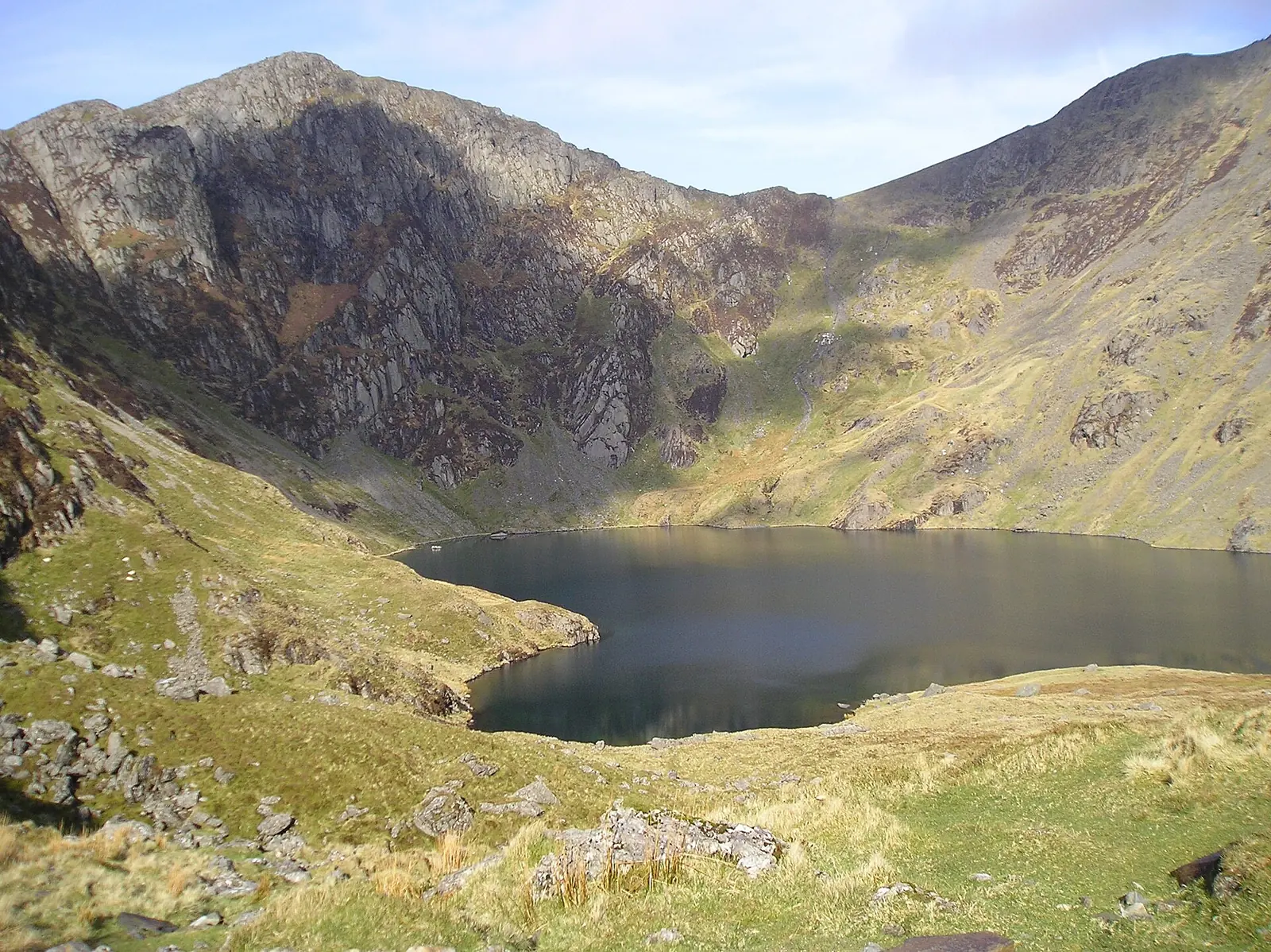
Six frames from a day on the mountain: the cwm and its lake, the summit and the climb. Each image is credited in full in the footer.
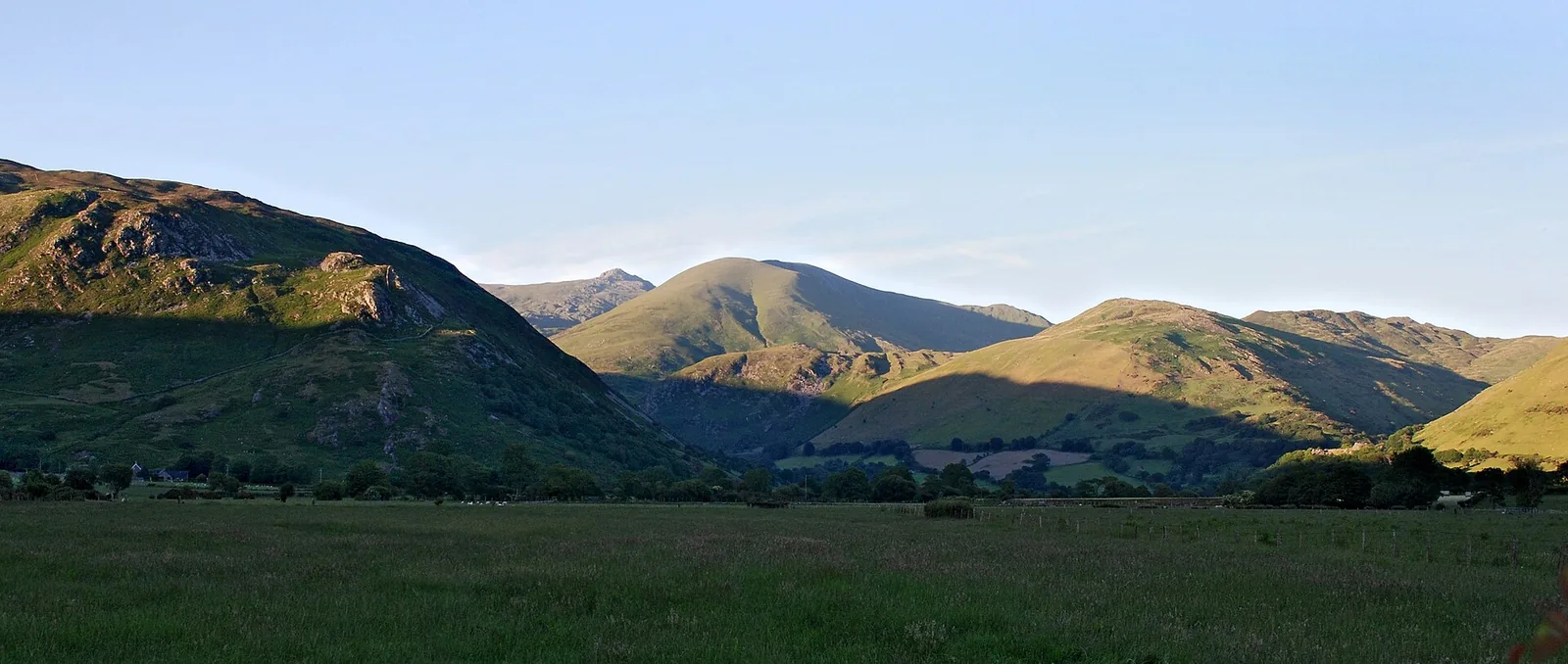
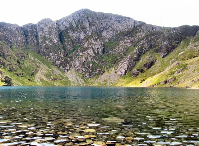
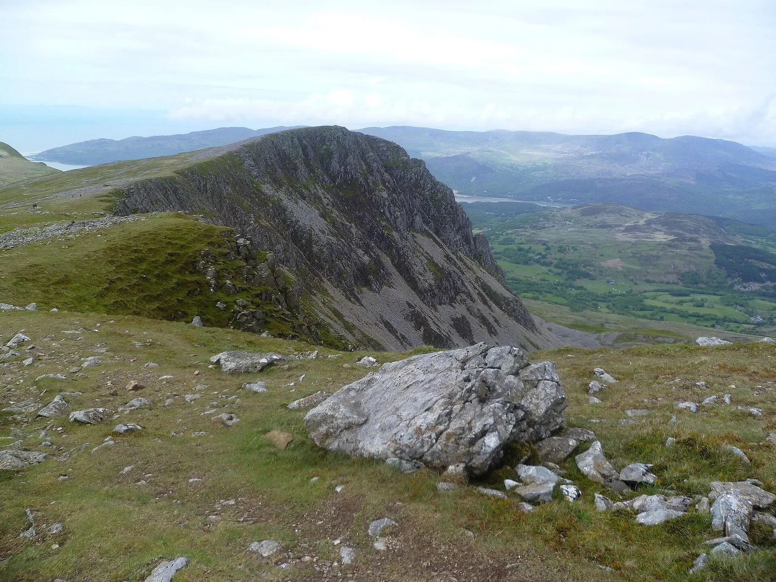
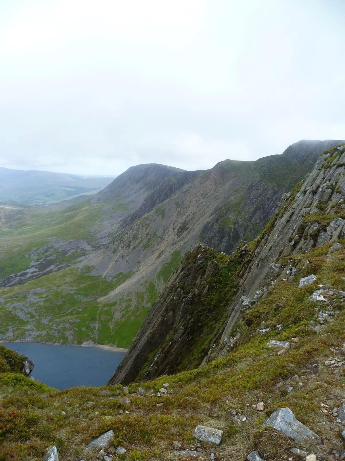
Every photograph here is credited in full in the footer.
The way down
Before you leave the summit, confirm your descent route. Most of the day's trouble comes after the top. Read the notices, then make the call.
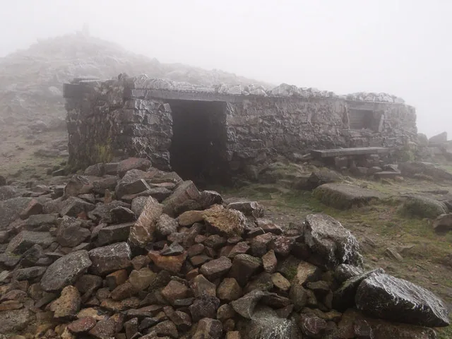
Even experienced walkers take the wrong line when tired.
Conditions change quickly. Do not get caught out.
Fatigue slows decisions and increases risk.
Buses and parking run to timetables, not to you.
The Fox's Path, not a way downThe direct-looking line off the north face is steep, loose scree and not a recommended route. Don't be tempted to descend it. Reverse your ascent instead.
The mountain casts a long day. These are the places around it.
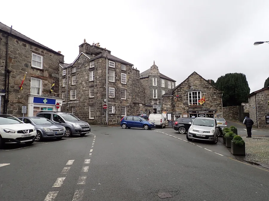
The stone market town below the mountain's northern side, a stone's throw from the Pony Path start.
Read the guide →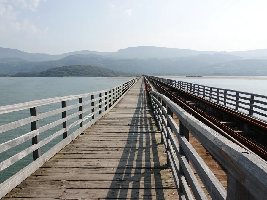
The seaside town at the mouth of the Mawddach, where the timber viaduct crosses: the coast end of the same estuary the Pony Path looks down.
Read the guide →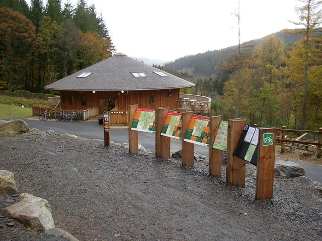
Nine thousand acres of working forest north of Dolgellau: Britain’s first mountain-bike forest, and a low-level day when the summit is in cloud.
Read the guide →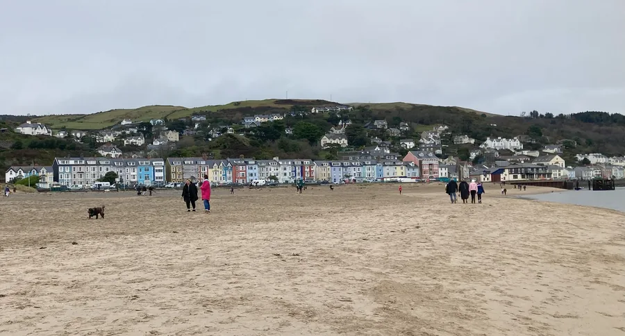
A village one street long on the north shore of the Dyfi, south of the Minffordd side: a bronze bell on the jetty the tide rings by itself, and the evening after.
Read the guide →On the Atlas
Above Dolgellau, on the roof of southern Eryri.
Open Cadair Idris on the mapContinue exploring
Carry the scale of the cwm into the wider landscape of Gwynedd.