The hut row on the sand
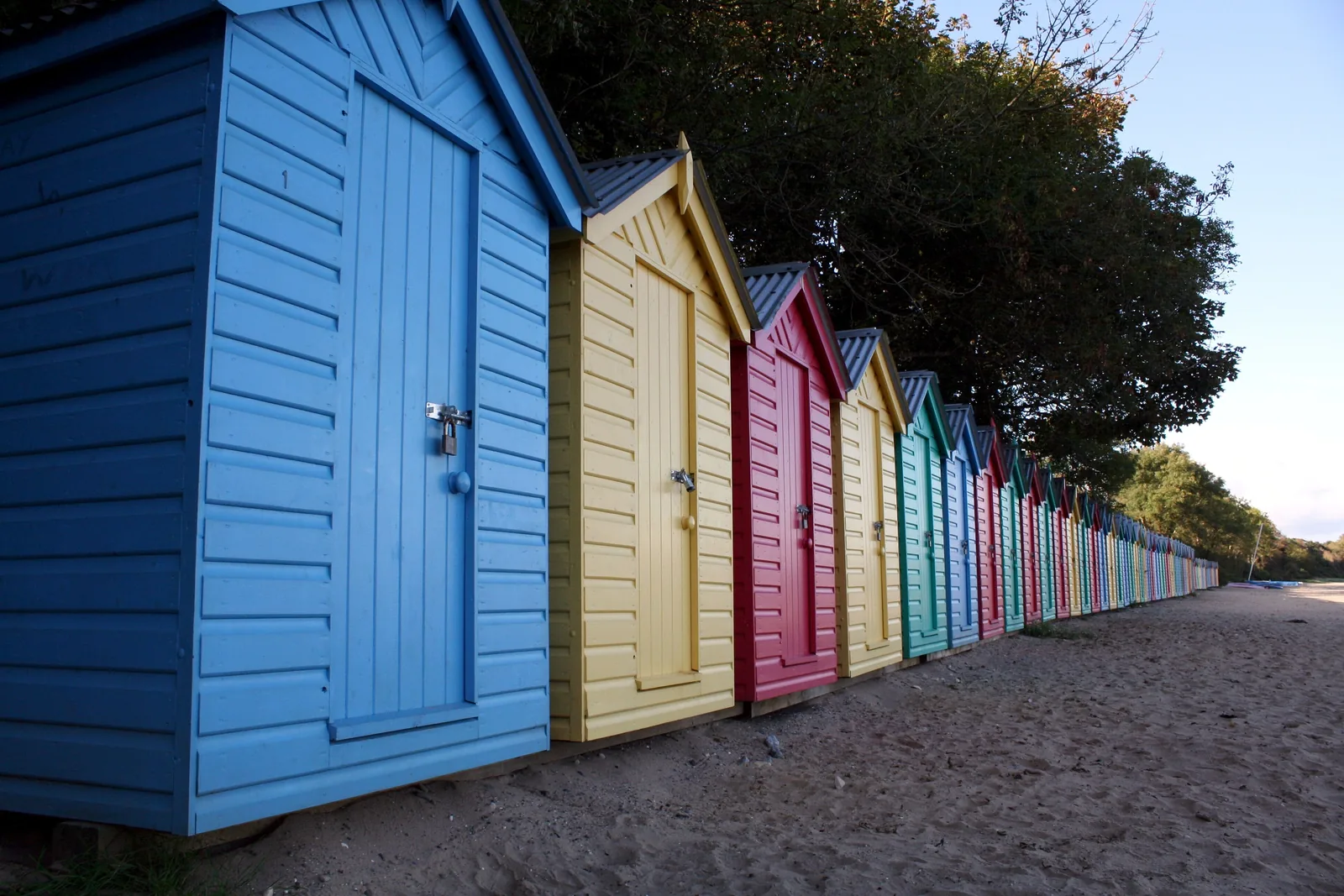
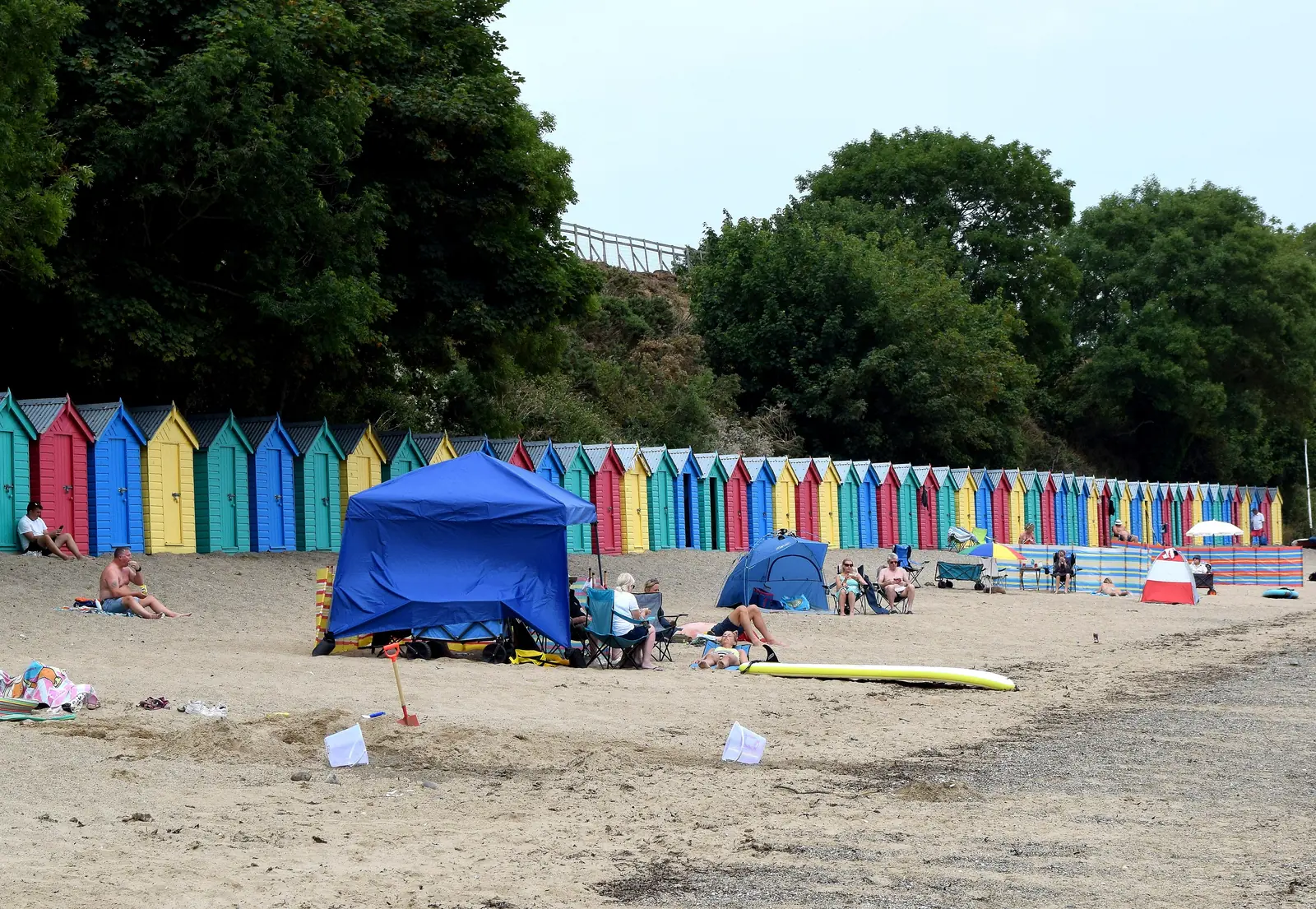
A single painted line of beach huts runs the length of the sand, the first thing you pick out from the headland.
Gwynedd · Llŷn Peninsula
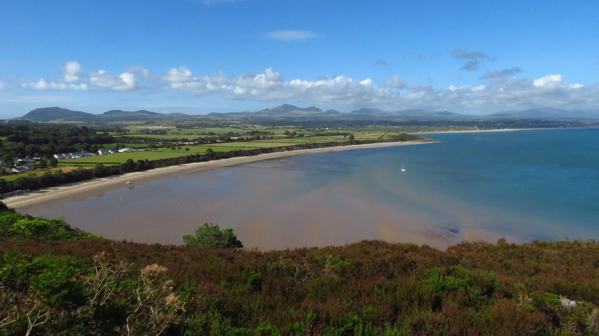
A sandy bay under a granite headland, a Gothic house full of art two minutes from the sand, and a metal figure on the skyline that sounds in the wind.
01The village
Llanbedrog stands on the main road between Pwllheli and Abersoch, and almost everything a visit needs is strung along one lane: the church near the top, the gates of Plas Glyn-y-Weddw halfway down, and the car park above the sand at the bottom. The steps onto the headland leave from the beach’s southern end.
Most Llŷn villages offer one thing. Llanbedrog offers three genuinely different ones — a sheltered bay you can spend an afternoon on, a listed house full of art, and a climb that ends at a figure made of metal — without moving the car between them.
Character
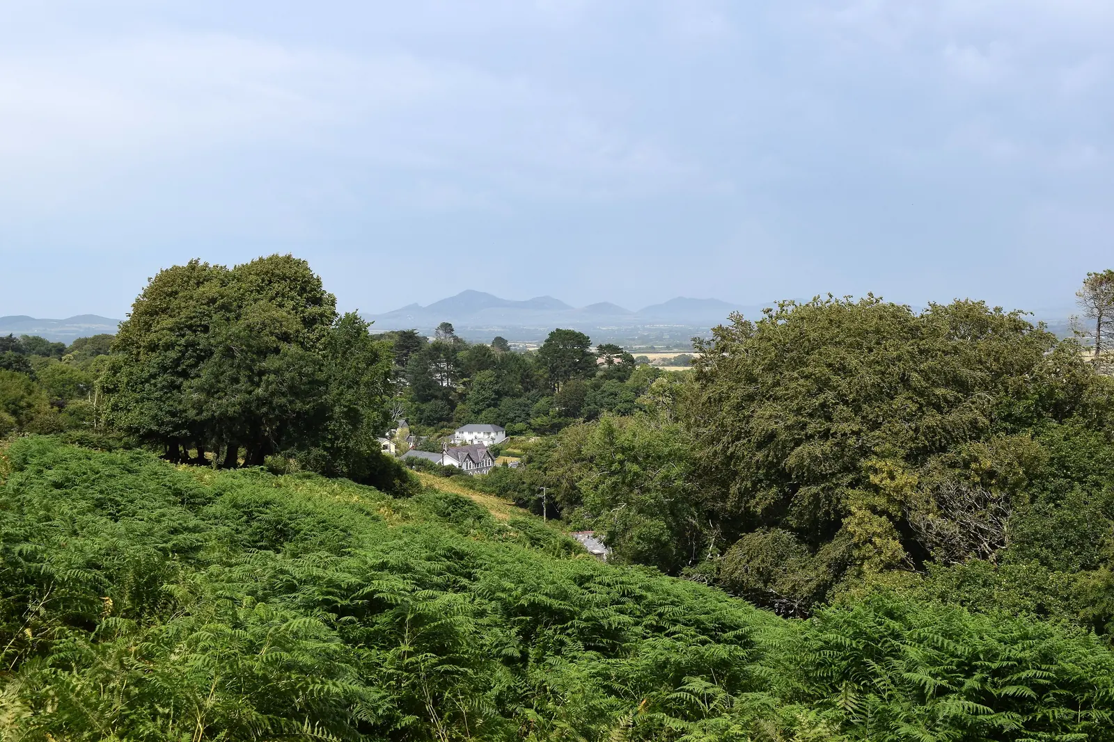
Just over a thousand people live here, more than half of them Welsh-speaking. A church, a pub, a shop and a primary school sit alongside the visitor traffic, and the village keeps working through the winter.
Pace
The beach, the gallery and the church sit within a few hundred metres of one another. The headland is the only real climb, and it is a stiff one.
Landscape
Sand curves north-east below wooded low cliffs, closed at its southern end by Mynydd Tir-y-Cwmwd: 175 acres of common land with three disused granite quarries along its seaward face.
Best for
Best for a beach afternoon that can turn into a gallery visit or a headland walk without a drive in between, and for anyone walking this stretch of the Wales Coast Path.
02Discover
A single painted line of beach huts runs the length of the sand, the first thing you pick out from the headland.
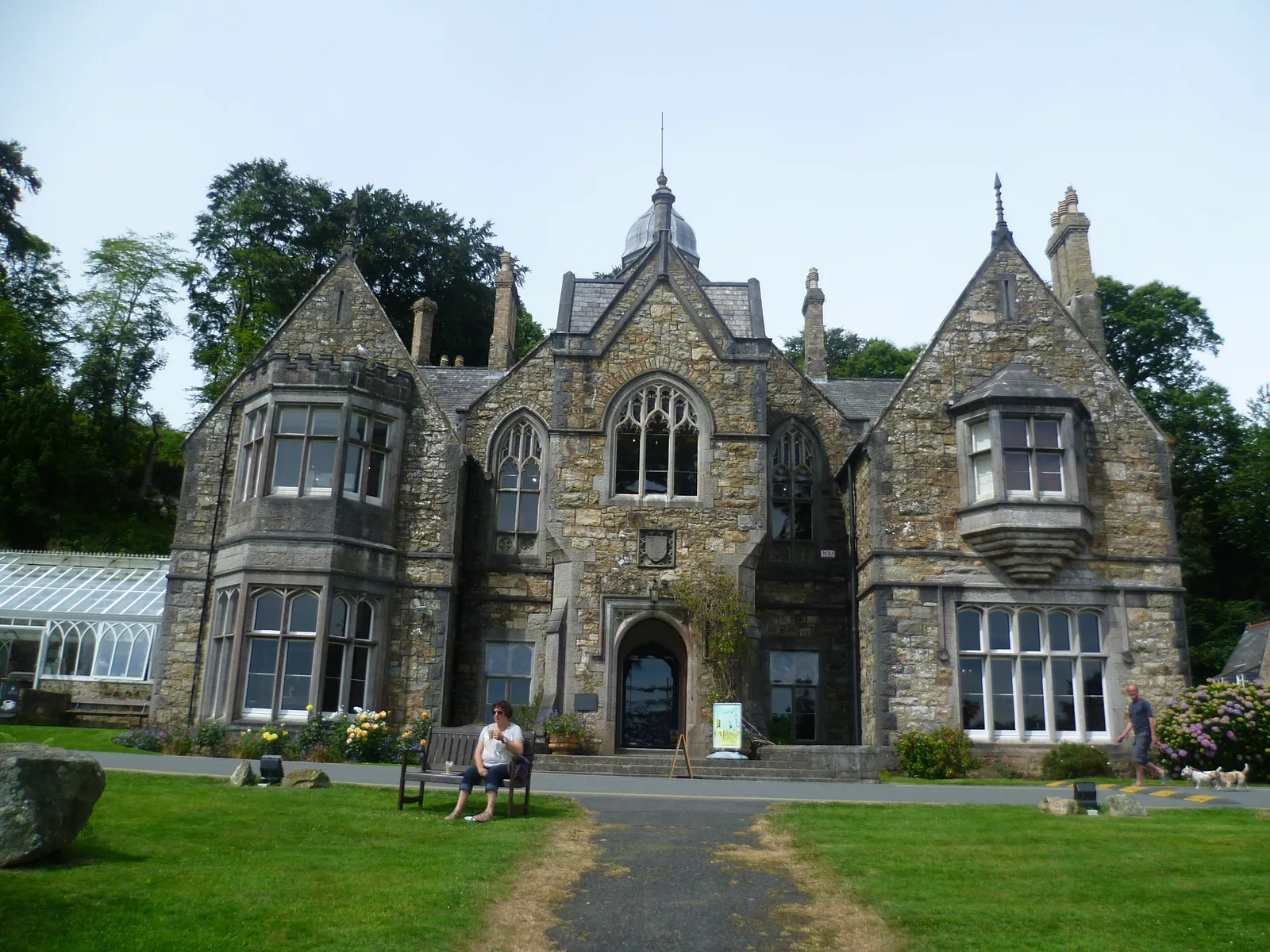
A Gothic house above the beach that has been showing art to the public for well over a century.
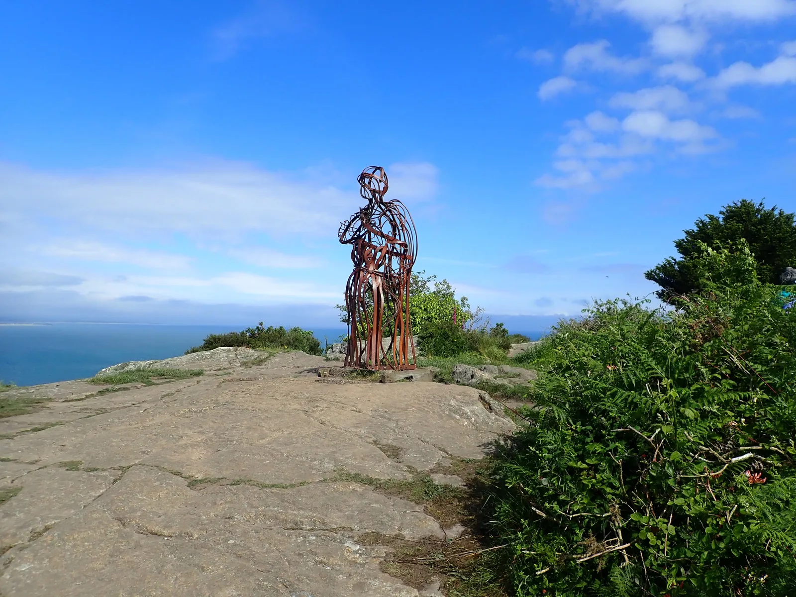
A hollow steel figure on bare rock above the bay that the wind moves through, and sounds.
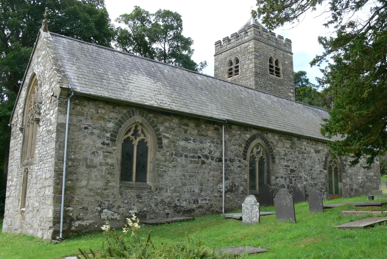
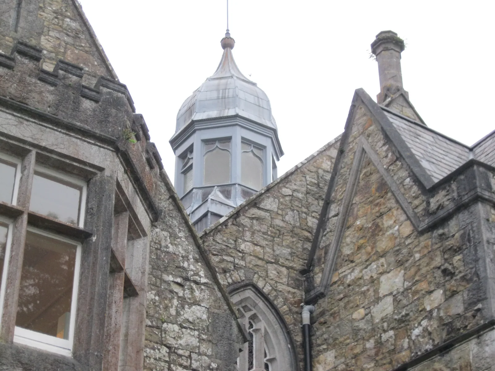
The church the village takes its name from, its battlemented tower showing over the trees from the lane.
Beyond the first defining moments, the fuller Llanbedrog catalogue continues below.
One lane, one beach and one headland: five stops, four of them within a few minutes of each other and the fifth at the far end of the sand.
 No verified image yet
Llanbedrog Beach
At the bottom of the village lane below the car park; steps and a steep track drop to the sand.
Five places, four of them within a few hundred metres of one another and the fifth at the far end of the beach: a National Trust bay, a listed house showing art, a headland with a sculpture on it, a medieval parish church, and the rocky point where a Victorian tramway began. No pubs, shops or cafés are listed here; see Local life for the village’s everyday character.
National Trust beach
A sheltered south-facing bay in the lee of the headland, with one painted row of beach huts along the back of the sand. The reason most people come.
Check tide times (nearest: Abersoch, St Tudwal’s Roads station) (opens in a new tab)Art gallery & gardens
A house built to hold one woman’s art collection has been showing art to the public ever since: on the gallery’s own account, the oldest in Wales.
Check opening times (opens in a new tab)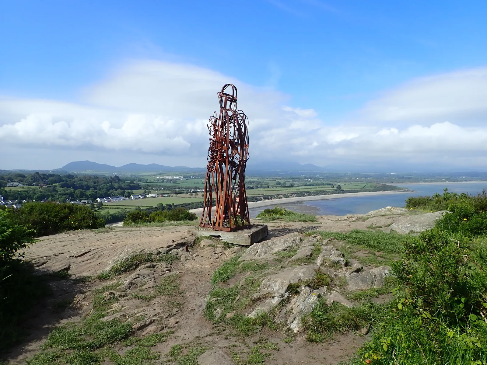
Sculpture & headland walk
Three figures have stood on this headland in a century and the village has replaced each one. The current one is hollow, so the wind sounds through it.
Working church
The village carries this church’s dedication in its name: Llanbedrog, the enclosure of Pedrog. A battlemented tower shows over the trees from the lane.
Coast path
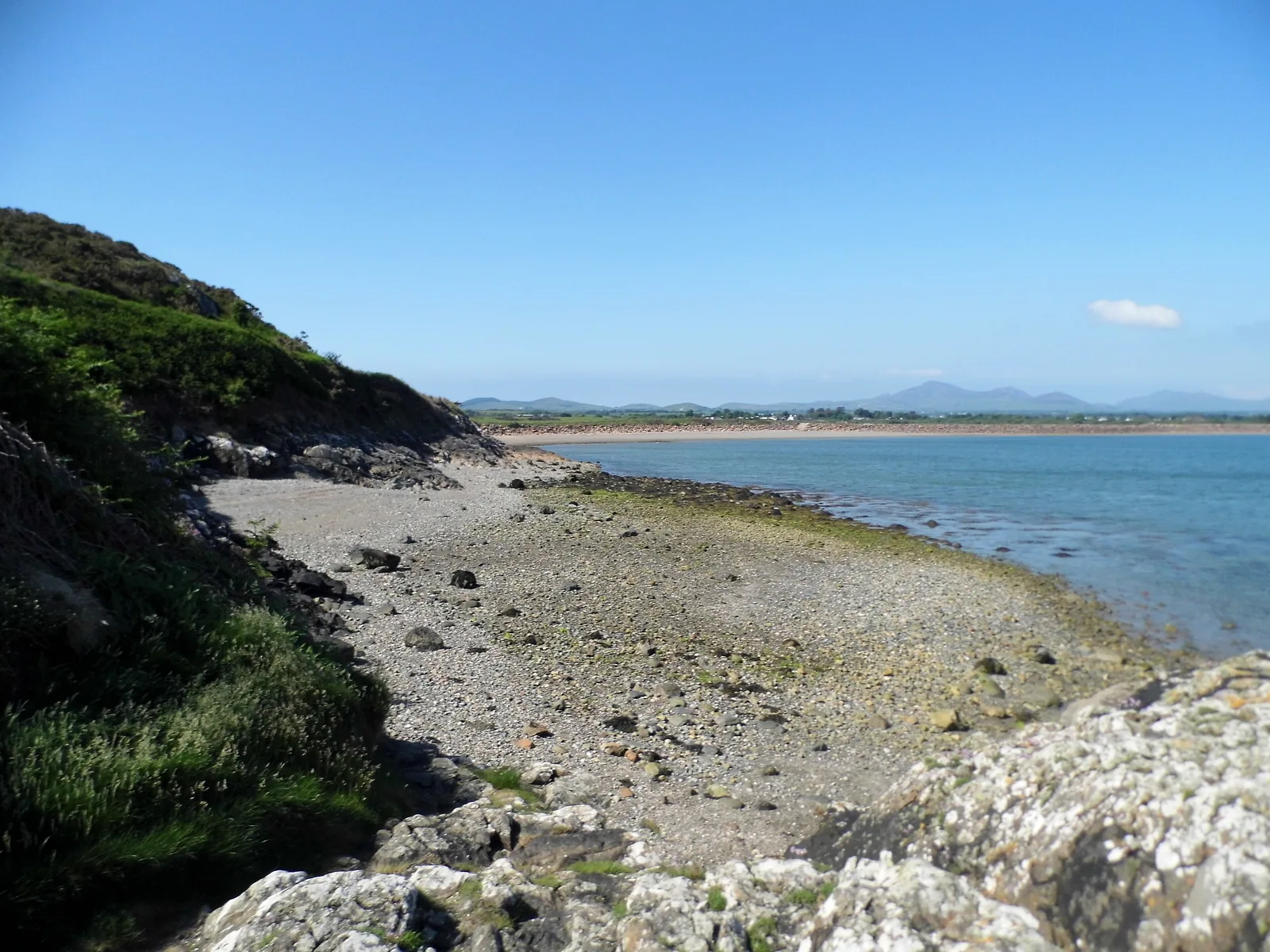
The village’s Victorian reinvention started at this rocky point rather than at the beach: its quarry loaded stone onto the tramway before the line carried anyone.
Gallery opening times and admission change through the year, and the beach huts are licensed season by season. Confirm current details before you plan a day around either.
Oriel Plas Glyn-y-Weddw03Story
Almost everything a visitor comes to Llanbedrog for was assembled by a single Cardiff entrepreneur in the space of four years, and the village has been keeping, losing and rebuilding the pieces ever since.
St Pedrog’s is first recorded in the Norwich taxation of 1254, and the village takes its name from Pedrog, a 6th-century Celtic saint. The Madryn family — the Love Parrys — held the patronage from the 17th century.
Plas Glyn-y-Weddw was built for Elizabeth Love Jones-Parry of Madryn: a dower house designed around the art collection she already owned, rather than a house that later happened to acquire one.
A Cardiff businessman opened a horse tramway from Pwllheli in 1894, at first to carry quarried stone from Carreg y Defaid for the town’s sea wall. He bought the Plas in September 1896 and opened it as a public gallery, extended the line to Llanbedrog in July 1897, and set a wooden ship’s figurehead on the headland above the beach.
Three quarries worked the cliff face of Mynydd Tir-y-Cwmwd. Setts cut at the quarry were held in a hopper building on the shore and shipped from a jetty whose remains still show at low tide. The quarry closed in 1949.
The storm of 28 October 1927 destroyed the tramway and it was never rebuilt. The Plas became flats and was decaying by the late 1970s until the artist Gwyneth ap Tomos and her husband Dafydd bought it in 1979; a charitable trust took it on in the mid-1990s, the Winllan woodland was bought back in 2008, and it has been an accredited museum since 2013.
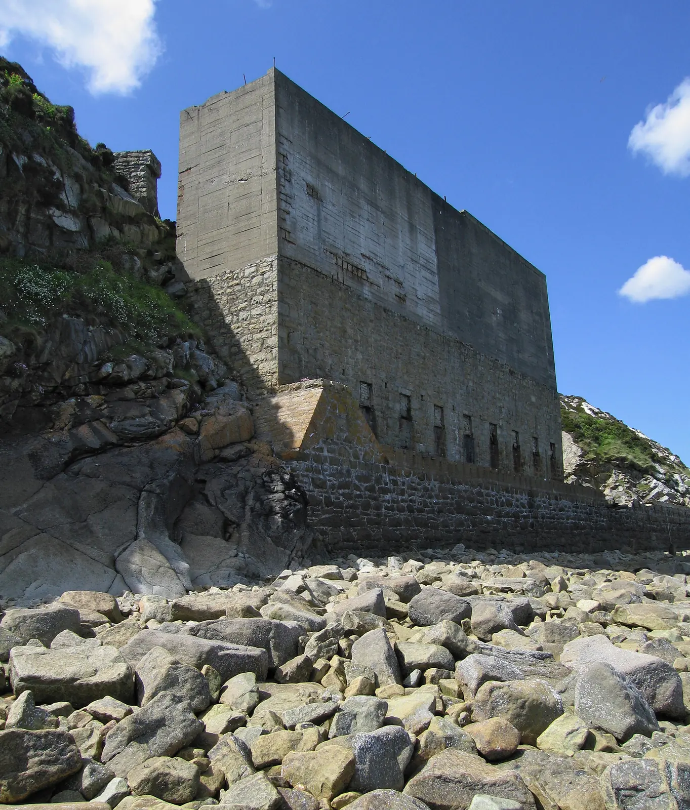
The tramway that made Llanbedrog a resort is the same tramway that carried its stone away.
Atlas of Wales
Llanbedrog is a working village of just over a thousand people. The pub, the shop, the school and the church all sit along the same lane the visitors use, and that lane keeps working after the huts are shut for the winter.
The beach and the gallery set the summer rhythm. Outside it the village is quieter rather than closed.
Nearly everything below the church is residential lane. The car park above the beach is what the village would rather you used.
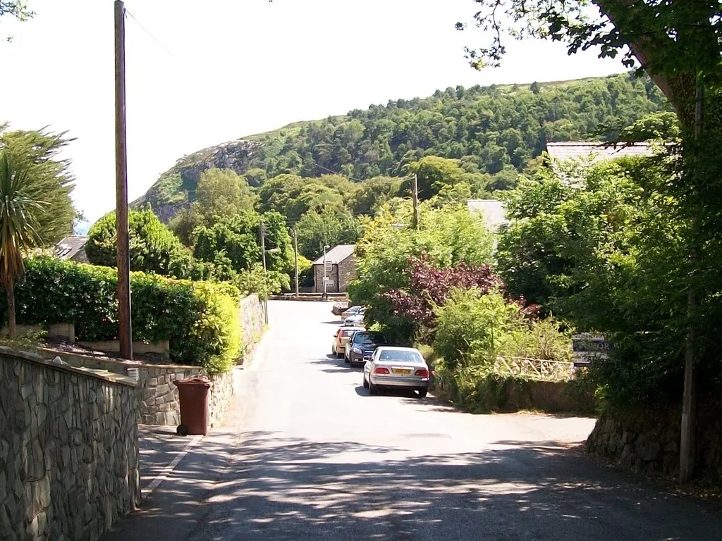
One lane carries the whole village, from the junction at the top to the beach at the bottom. It is how residents reach the school and the church as well as how visitors reach the sand.
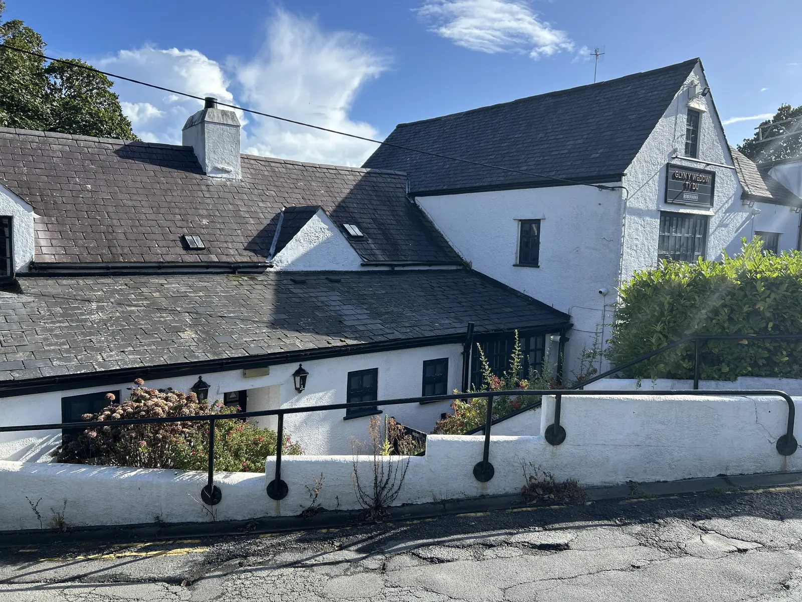
The junction with the A499 is where the village meets the main road. A pub, a shop and the bus stop are all up here rather than down at the beach: the everyday end of the village, not the visitor one.
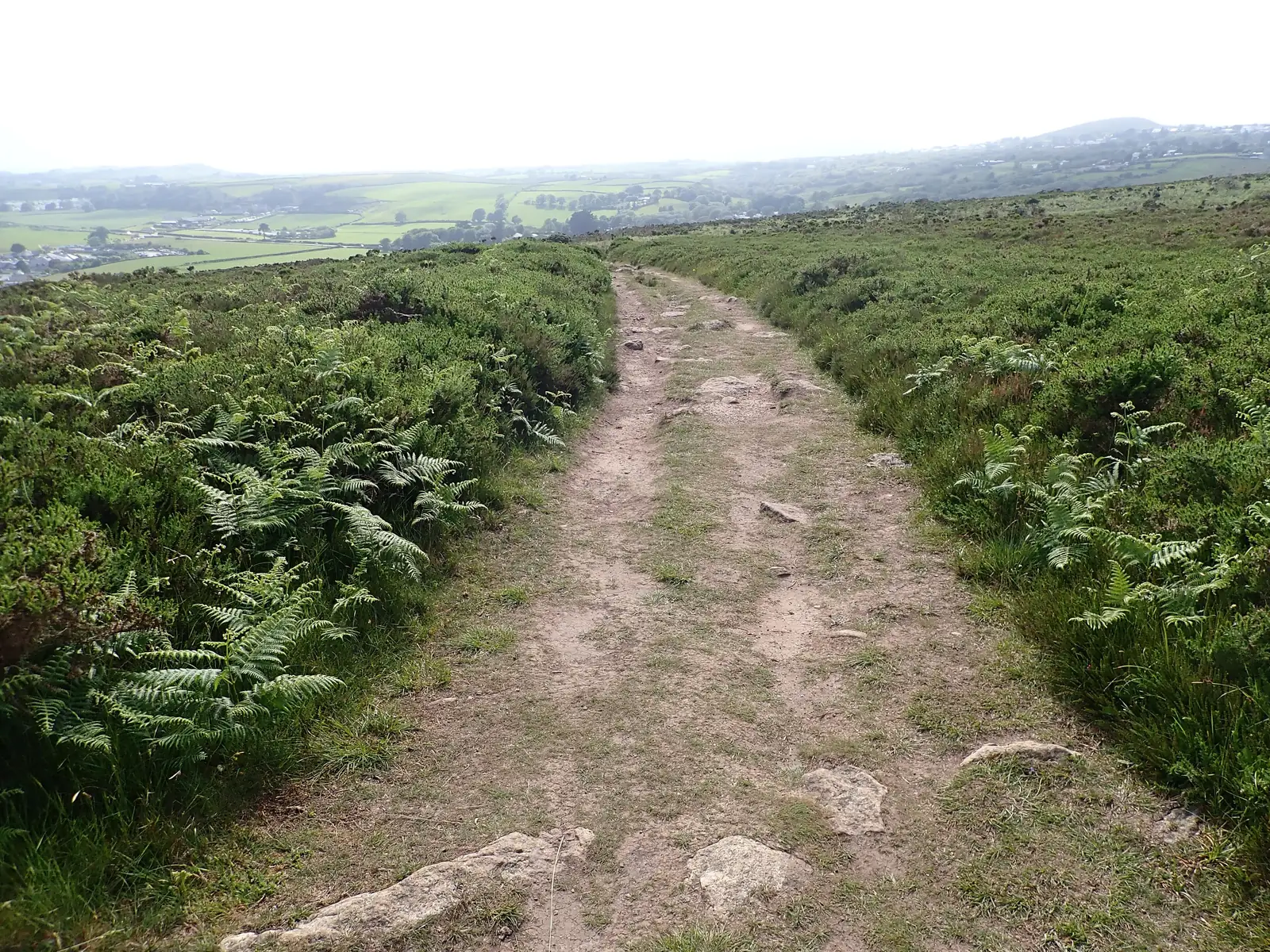
The Wales Coast Path crosses Mynydd Tir-y-Cwmwd to the south-west and runs the length of the beach to the north-east. For anyone walking the Llŷn, Llanbedrog is a stage rather than a destination.
The village in one walk
From the church at the top to the sand at the bottom takes a few minutes, and the only real climb is the one that ends at the figure on the headland. Walk it in that order and Llanbedrog explains itself.
Plan your time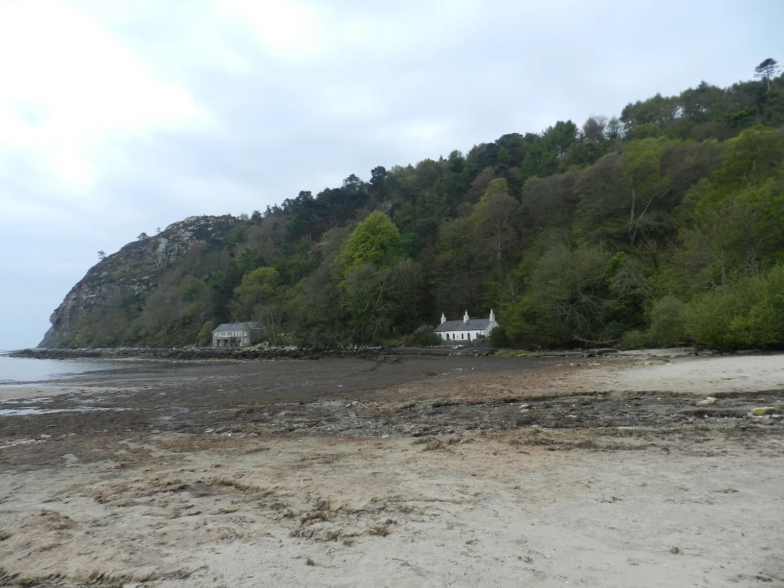
Three figures have stood on that headland in a century. Llanbedrog has put a person back every time.
Atlas of Wales
04Plan
Steps and a steep track take you down from the car park.
The huts run north-east in one line at the back of the beach.
Cottages under the wooded cliff, where the headland closes the bay.
Get the beach first, while the light is on it.
North-east along the back of the beach and back again.
The gallery, the gardens and the Winllan woodland path behind.
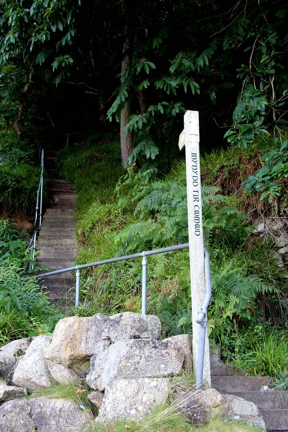
A long flight, straight up off the south end of the beach.
The figure, the bay below it, and the quarries either side.
Begin at the top of the lane and work downhill.
The gallery and the woodland path, before the beach fills.
Down to the sand for the middle of the day.
Up off the south end of the beach to the figure on the rock.
Rejoin the coast path and follow the sand the other way.
The rocky point that ends the beach, and where the tramway started.
Practical
Everything you need for arriving and getting around.
Getting here
The A499 between Pwllheli and Abersoch runs across the top of the village; the B4413 leaves north-west for Mynytho. One car park sits above the beach, pay and display, free to National Trust members.
Open the National Trust car park in Google MapsService 18 (Berwyn Coaches) between Pwllheli and Abersoch stops at Glyn y Weddw, on the A499 at the top of the lane. The operator publishes no route page, so plan door to door and check the current service before travelling. The nearest railway station is Pwllheli.
Traveline Cymru journey plannerPractical details
Two car parks, a kilometre apart. The National Trust’s sits above the beach opposite Plas Glyn-y-Weddw, free to Trust members and Blue Badge holders; the other is up in the village on the B4413, by the bus stops.
Check the National Trust visiting pageCharges and restrictions can change. Check the signs when you arrive.
Llanbedrog Beach
Above the beach · by Plas Glyn-y-Weddw
Google Maps (opens in a new tab)Lôn Penybryn
Up in the village · on the B4413
Google Maps (opens in a new tab)Public toilets at the beach, owned by Cyngor Gwynedd and open seasonally.
The season dates are not published here. Check before you rely on them.
At the beach, beside the car park
Cyngor Gwynedd
The car park is level. The last stretch down to the sand is steps and a steep track, and the headland is stepped throughout.
Mynydd Tir-y-Cwmwd’s slopes carry hazard warnings after a number of accidents: stay on the paths and away from the quarry edges.
Steps and a steep track
A long flight of steep steps: sources disagree on the count, so none is printed
The National Trust asks for dogs on leads in the main beach area between 1 April and 30 September, with more freedom beyond the end of the huts.
Check the current wording with the TrustThe Trust’s own request, not a council order: Llanbedrog is not on Cyngor Gwynedd’s list of beaches covered by its dog-control order
Fouling anywhere in Gwynedd carries a fixed penalty of £100, reduced to £75 if paid within 10 working days
Everything in this guide is on foot from the car park. Only the headland asks for any real effort.
Use Llanbedrog as a base
Four real Atlas destinations pair with a Llanbedrog visit: distances are straight-line from the village, not driving times.
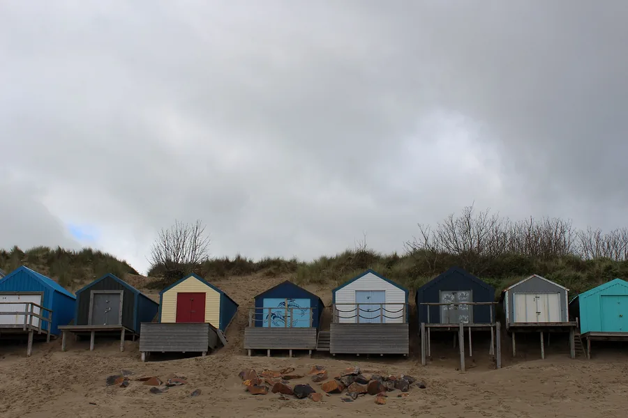
The next bay south, built around sailing rather than sand: a yacht club racing since 1881, and its own line of beach huts above the shore.
About 2.6 miles south (straight-line)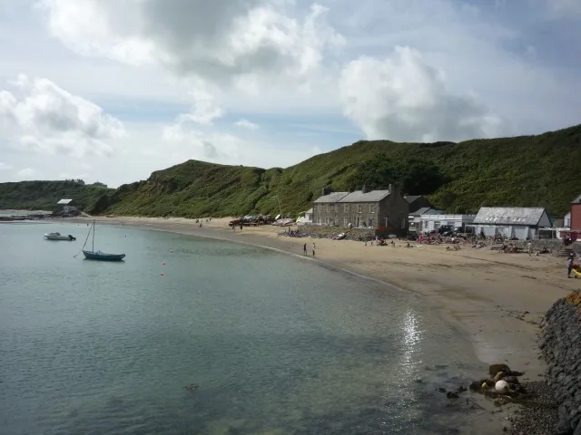
A row of cottages on a beach on the peninsula’s north coast, reached on foot: the other side of the Llŷn from Llanbedrog’s sheltered southern bay.
About 6.9 miles north-west (straight-line)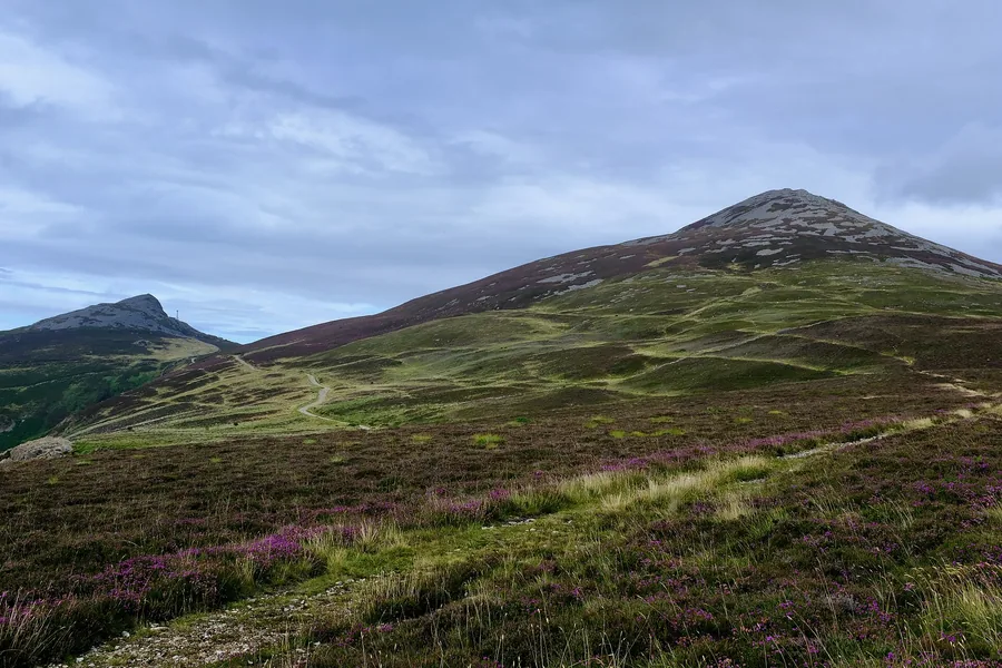
The highest ground on the Llŷn: three volcanic tops above the north coast, with an Iron Age hillfort on the eastern summit and the long view over everything Llanbedrog sits in.
About 8.4 miles north (straight-line)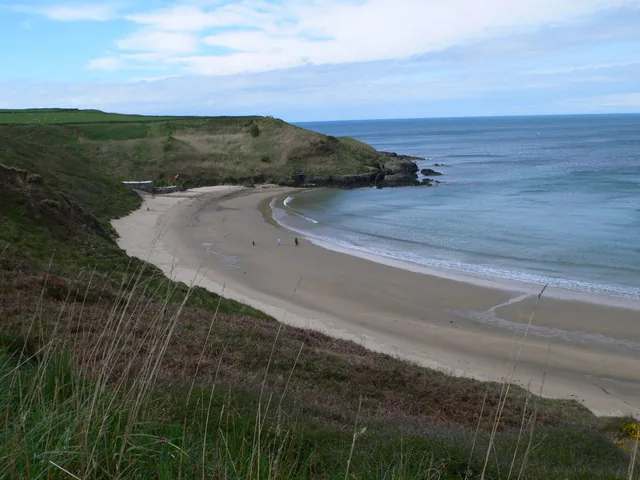
A small west-coast cove whose sand squeaks underfoot: a harder-won beach than Llanbedrog’s, near the far end of the peninsula.
About 10.1 miles west (straight-line)Before you go
Climb the steps once and the rest of the Llŷn makes sense from up there.