Ogwen (Cwm Idwal) car park
Devil's Kitchen route
- Booking
- Not required
- Price
- £6/day · £3 up to 4 hrs
Card/contactless only, no cash. Fills quickly at weekends and in spring/summer; overflow at Bethesda FC, £7/day.
Eryri · Gwynedd · Mountain
Two ways up to a summit that really is a heap of stone: no railway, no café, just scree and a wide view. What the day asks depends on the line you choose.
The highest of the Glyderau, in Eryri National Park: a shattered-rock summit reached by scree, not a path, with no railway and no café at the top. What the climb asks of you depends on the line, so read the routes before you read the weather.
Choose your lineChoose your route
Devil's Kitchen from Ogwen, or the ridge from Pen y Pass, not interchangeable, and not waymarked. Pick by climb and exposure. The whole board below redraws to your line: its terrain, its shape, its numbers.
Walking routes
Practical brief
The classic Ogwen approach: lake path, then a steep scree finish.
A quieter, remoter line: solid navigation required.
Route figures: no Eryri National Park-published register exists for Glyder Fawr's summit ascent. Figures are Tier-2 specialist sources, checked 4 August 2026. The Devil's Kitchen figures cover the whole walk from Ogwen; the Pen y Pass figures are to the summit only, so allow for the walk back as well. Parking prices, booking systems and transport change. Confirm current details before you go. Official planning source: Eryri National Park · safety and planning advice
Before you go
Parking, transport, toilets, dogs, weather, emergency and descent planning: checked before you go.
Devil's Kitchen route
Card/contactless only, no cash. Fills quickly at weekends and in spring/summer; overflow at Bethesda FC, £7/day.
The ridge approach
Blue-badge bays first-come; vehicles over 8 m not accommodated. Booking is mandatory through 1 Nov 2026: this is not a same-day decision.
The ridge approach: when Pen y Pass is booked out
The way onto the ridge without a Pen y Pass booking: park here and ride up. Sherpa’r Wyddfa buses (S1/S2/S5) link to Pen y Pass: 15 min weekends/school holidays, 30 min otherwise. The bus is not a descent plan.
Prices checked 20 July 2026 — the National Park reviews them annually; confirm before you travel via Eryri National Park — Ogwen (opens in a new tab) and Pen y Pass car park (opens in a new tab).
The TrawsCymru T10 (opens in a new tab) (Bangor–Bethesda–Betws-y-Coed–Corwen) stops at Llyn Ogwen; Eryri National Park Authority names it as the way in. Partneriaeth Ogwen also runs the Bws Ogwen electric minibus from Bethesda, but it publishes no fixed timetable page. Nothing has been confirmed serving Pen y Pass for this guide. Check the current service before relying on a bus connection to either start point.
Dogs must be on a lead: a legal requirement on this open-access land between 1 March and 31 July, and sensible practice year-round near livestock. The exact lead length was not confirmed for this guide.
Devil's Kitchen is the shorter, more direct line from Ogwen, up the steep Twll Du cleft and then loose scree to the summit. Pen y Pass is the quieter, remoter approach, crossing ground that's sometimes pathless rather than following a defined line, not an easier alternative, just a different one. Neither is an official National Park route; both are Tier-2 specialist-source figures. Bristly Ridge is not a third route on this page: a specialist mountaineering-guiding source describes it as steep, loose and dangerously eroded, and not recommended as an approach or a descent.
The summit plateau is flat and featureless, so cloud turns finding the right line off it into the day's real hazard on either route. Wind picks up hard on the open scree and ridge ground, well past anything felt in the valley, and wet rock makes the Devil's Kitchen scree and the Twll Du cleft considerably harder. No official winter-equipment mandate specific to this mountain was found, but treat any snow or ice as a serious undertaking: an ice axe, crampons and the skill to use them may be needed depending on conditions.
The Met Office publishes a location forecast named for Glyder Fawr (opens in a new tab); MWIS publishes a regional mountain forecast for Eryri/Snowdonia. Read both, and read them as inputs rather than answers: a location forecast does not replace your own judgement about summit wind, cloud, visibility, snow and ice, and neither route has a maintained path or summit shelter to retreat to.
No alternative descent has been verified for either route: reversal is the only confirmed way down. On the Devil's Kitchen scree, keep left both up and down.
Don't treat an alternative ridge descent as a shortcut: Bristly Ridge, for one, is described by a specialist mountaineering-guiding source as steep, loose and dangerously eroded, and not recommended.
Dial 999 or 112 and ask for Police, then Mountain Rescue. Register for emergencySMS in advance so you can text 999 if you can't get a voice signal. Give your location, what's happened, and how many are in your group.
Ogwen Valley Mountain Rescue Organisation (OVMRO) covers this ground, on call 24 hours a day. Neither car park is a rescue plan: Pen y Pass books out in advance, and there is no railway alternative at either start point.
No step-free or easy route to the summit exists on any source gathered for this guide: honest, not inferred favourably; this is not a first-mountain choice, and not a route for anyone wanting a maintained path. There is no summit facility, shelter, or café on Glyder Fawr, unlike Yr Wyddfa.
Sourced from Eryri National Park Authority, Natural Resources Wales, cwmidwal.cymru, OVMRO and Mountain Rescue England & Wales, checked 14 July 2026.
The reckoning
You have seen the line and the climb; the last question is the weather. Neither route has a maintained path or a summit shelter: in cloud, the summit boulder field is a navigation exercise.
The Met Office link is a location forecast named for Glyder Fawr; MWIS is a regional mountain forecast for Eryri/Snowdonia. Read them together: a location forecast is not a substitute for judging summit wind, cloud, visibility, snow and ice yourself. Valley sunshine does not guarantee a clear summit. Judge the day by the top, not the car park.
Unlike Yr Wyddfa, there is no building, café or trig shelter at the top: just the open, shattered-rock plateau, exposed to whatever the weather is doing.
Both routes involve loose, steep scree or rock. Rain turns already-loose ground genuinely treacherous, on the way up and — more so — on the way down.
The boulder field flattens out at the top with no obvious path. In mist, finding the right line off the summit matters more than the view.
Winter is a different mountain. No official equipment mandate exists for Glyder Fawr specifically, but a specialist mountaineering-guiding source treats the full Glyderau traverse in winter as a serious undertaking requiring an ice axe and crampons.
The summit
You climb for the view, but the mountain does not always give it. On clear days the panorama opens toward Snowdon and the Carneddau; on cloud days, the rock underfoot is the reward.
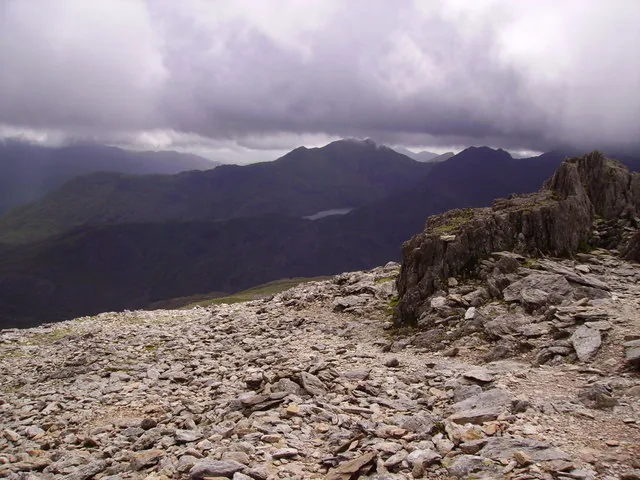
On the rightVisible feature
A weathered outcrop standing clear of the boulder field: the "heap of stones" the mountain is named for.
Why it mattersThere is no cairn or trig pillar on Glyder Fawr: the rock itself is the summit marker.
UnderfootGeneral view
Frost-broken slabs and loose scree, running flat in every direction with no worn path across them.
Why it mattersThis is the ground that makes cloud the day's real hazard: there is no line to follow off the top.
BelowGeneral view
A pale sliver of water far below the plateau, catching what light gets under the cloud. The source names the direction of this view but not the lake, so it stays unnamed here rather than guessed at.
Why it mattersIt gives the drop its scale: the valley floor is the better part of a kilometre below where you are standing.
On the skylineGeneral view
A long, broken skyline on the neighbouring massif, lit under the cloud base: the source names the direction as the Snowdon Horseshoe, but no single peak in this frame can honestly be picked out and named.
Why it mattersIt shows how far the view carries on a half-clear day, and that the Glyderau look across at Snowdon, not up to it.
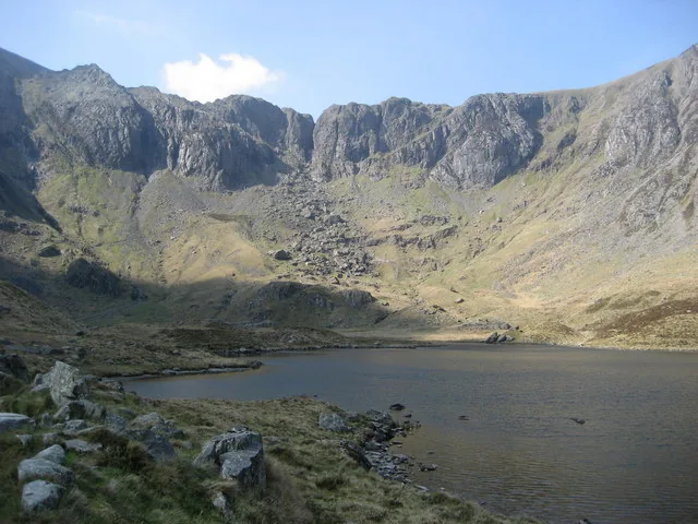
Six frames from the mountain: the Devil's Kitchen crag, the boulder-field summit, and the wider panorama. Each image is credited in full in the footer.
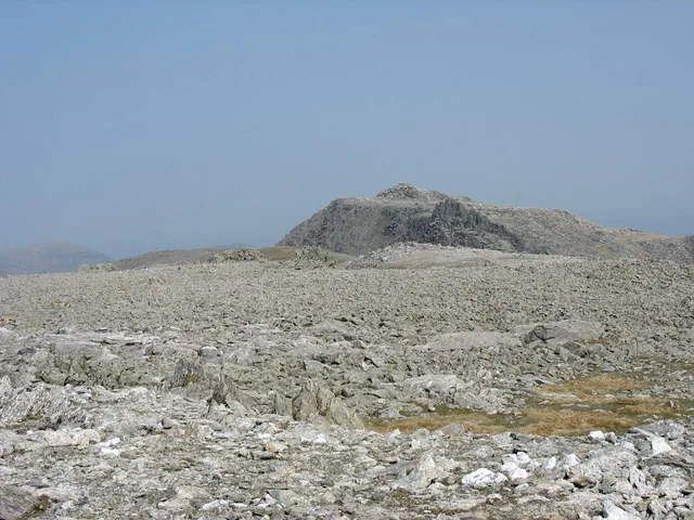
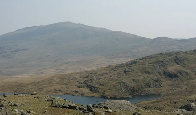
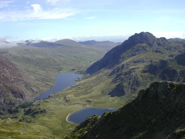
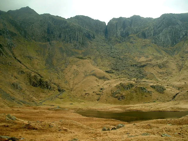
Every photograph here is credited in full in the footer.
The way down
No alternative descent has been verified for either route: reversal is the only confirmed way down. Read the notices, then make the call.
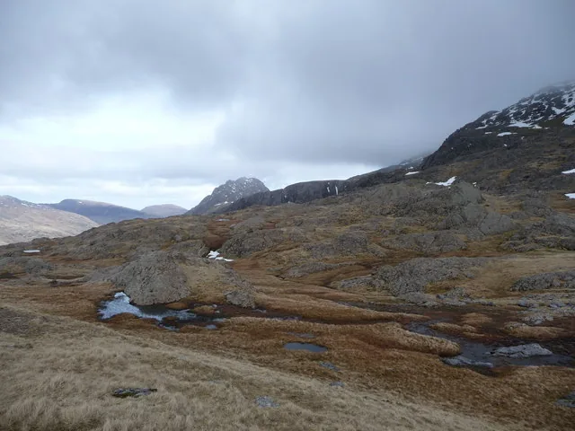
The boulder-field plateau is featureless in mist: even experienced walkers lose the line.
There's no shortcut down and no shortcut back. Do not get caught out.
Loose scree is harder on tired legs: the Twll Du line especially.
Pen y Pass books out in advance, and there's no railway at either start point.
The mountain casts a long day. These are the places around it.
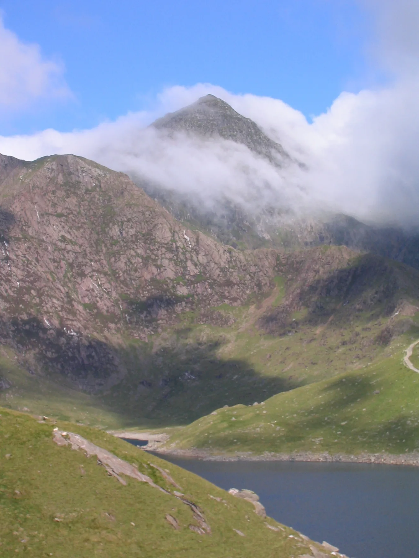
The highest mountain in Wales: six routes, one scramble, and a summit railway. A different kind of mountain day.
Read the guide →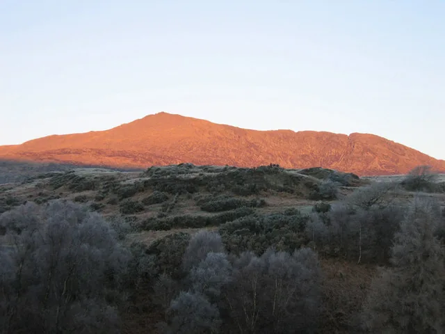
A quieter Eryri summit near Capel Curig, along the same A5 corridor as Ogwen.
Read the guide →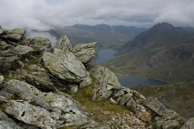
The next top along the same ridge: a walked 947m summit on the Ogwen circuit, without this one’s scree.
Read the guide →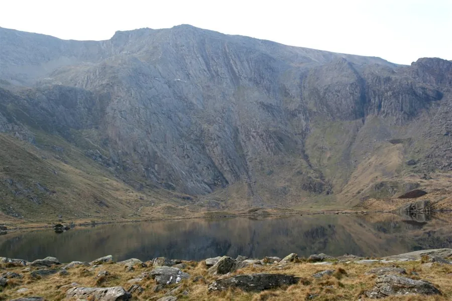
The cwm directly below, where the Devil’s Kitchen route starts: Wales’ first National Nature Reserve, and a lake circuit if the tops are out.
Read the guide →On the Atlas
The highest of the Glyderau, above the Ogwen valley.
Open Glyder Fawr on the mapContinue exploring
Take that high, broken landscape into the wider Glyderau.