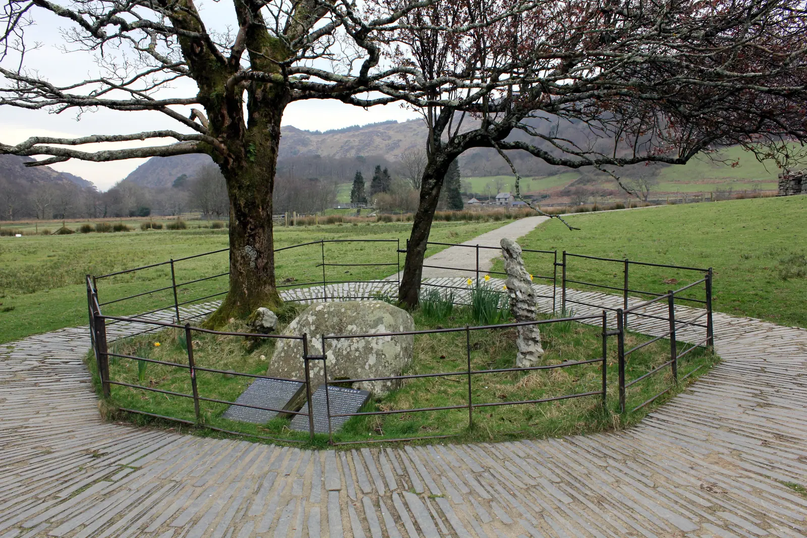
Gelert's Grave, and the true story
A fenced mound under trees by the river, built to draw visitors, and it has been working for two centuries.
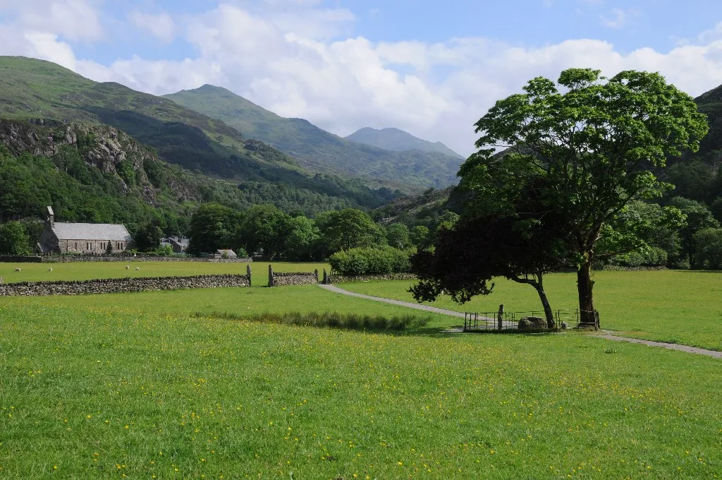
Gwynedd · Eryri
A village at the meeting of two rivers, where a story built for Victorian tourists sits on top of a much older, much realer one.
01The village
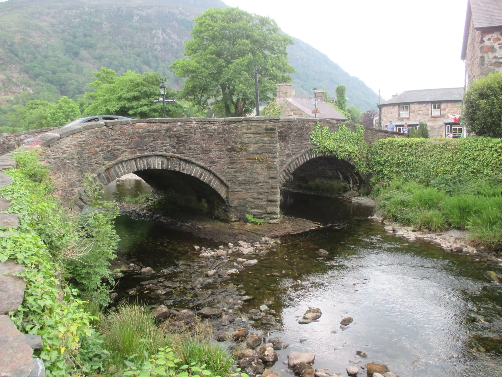
Beddgelert sits where the Afon Glaslyn meets the Afon Colwyn, in the heart of Eryri. The village gathers at the bridge over the confluence: the church a few steps one way, the shops and cafés the other. The river path runs south from there to the grave, and on towards the Aberglaslyn Pass.
The grave that made Beddgelert famous was built for tourists around 1800, and the village is not named after the dog at all. What the story was laid on top of is genuinely old: a Christian community here since the 6th century, and a priory that became the parish church.
Character
Beddgelert has a 2021 census population of 460 and is lived in year-round, with hotels, cafés and shops mixed through the visitor centre.
Pace
The bridge, church and grave are minutes apart on foot; the mine, the pass and the forest need a longer walk or a short drive.
Landscape
The Glaslyn and Colwyn meet here; Moel Hebog rises to the west, and the ground climbs north toward Yr Wyddfa.
Best for
Best for the legend and the real story behind it, an underground mine tour, a heritage railway, and walking straight from the door.
02Discover
A fenced mound under trees by the river, built to draw visitors, and it has been working for two centuries.
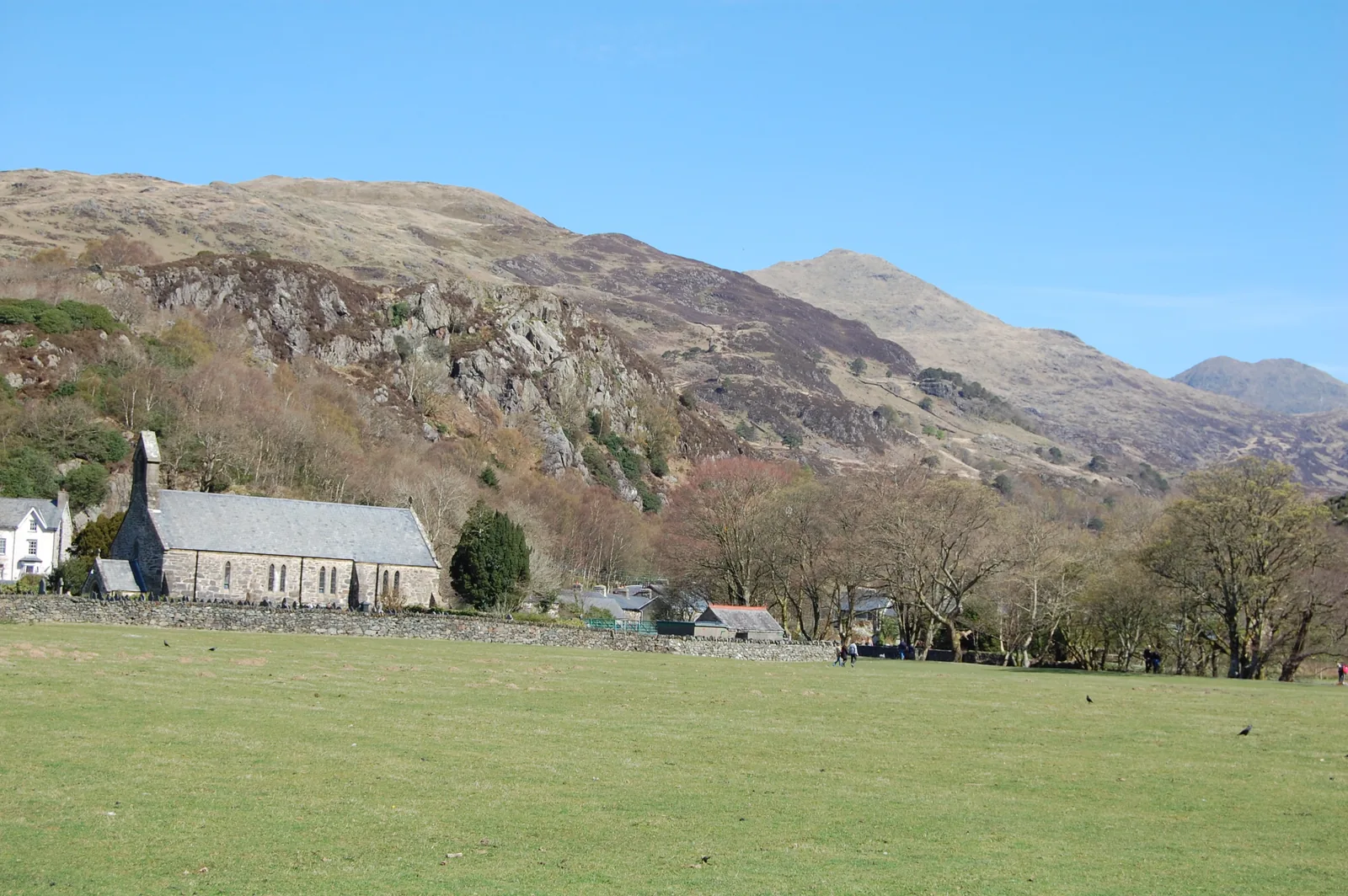
A former Augustinian priory church that still serves the village, with medieval stonework surviving inside.
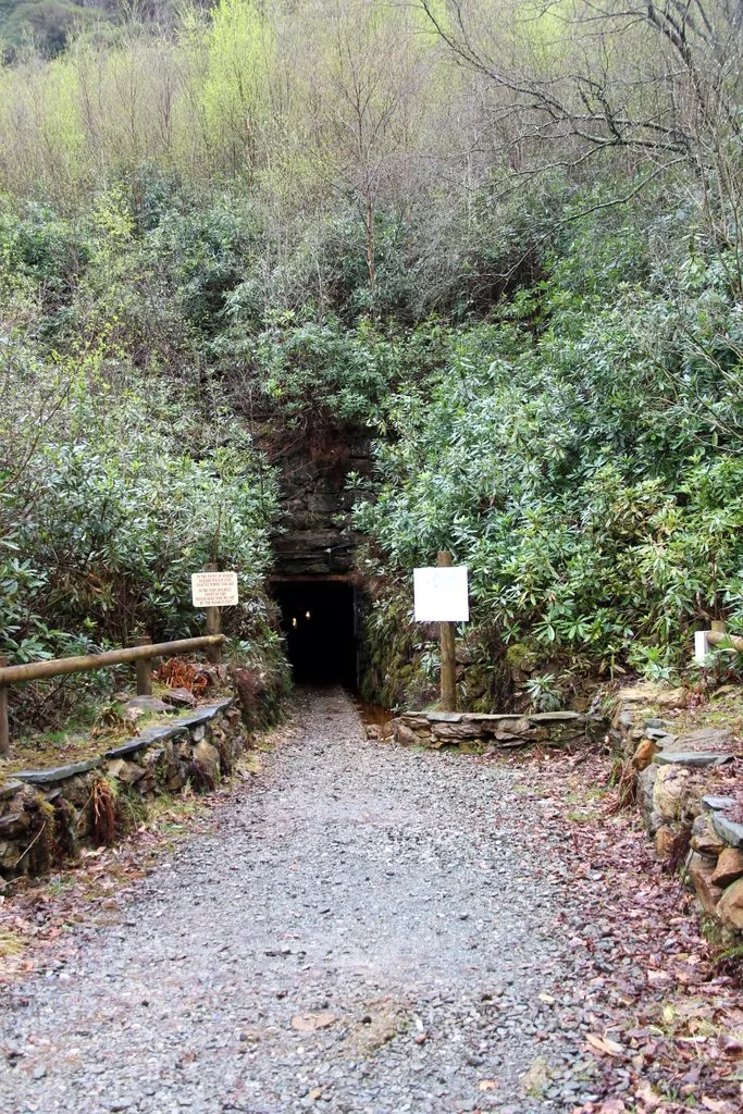
An underground tour through three levels of tunnel in a copper mine cut into the hillside above the village.
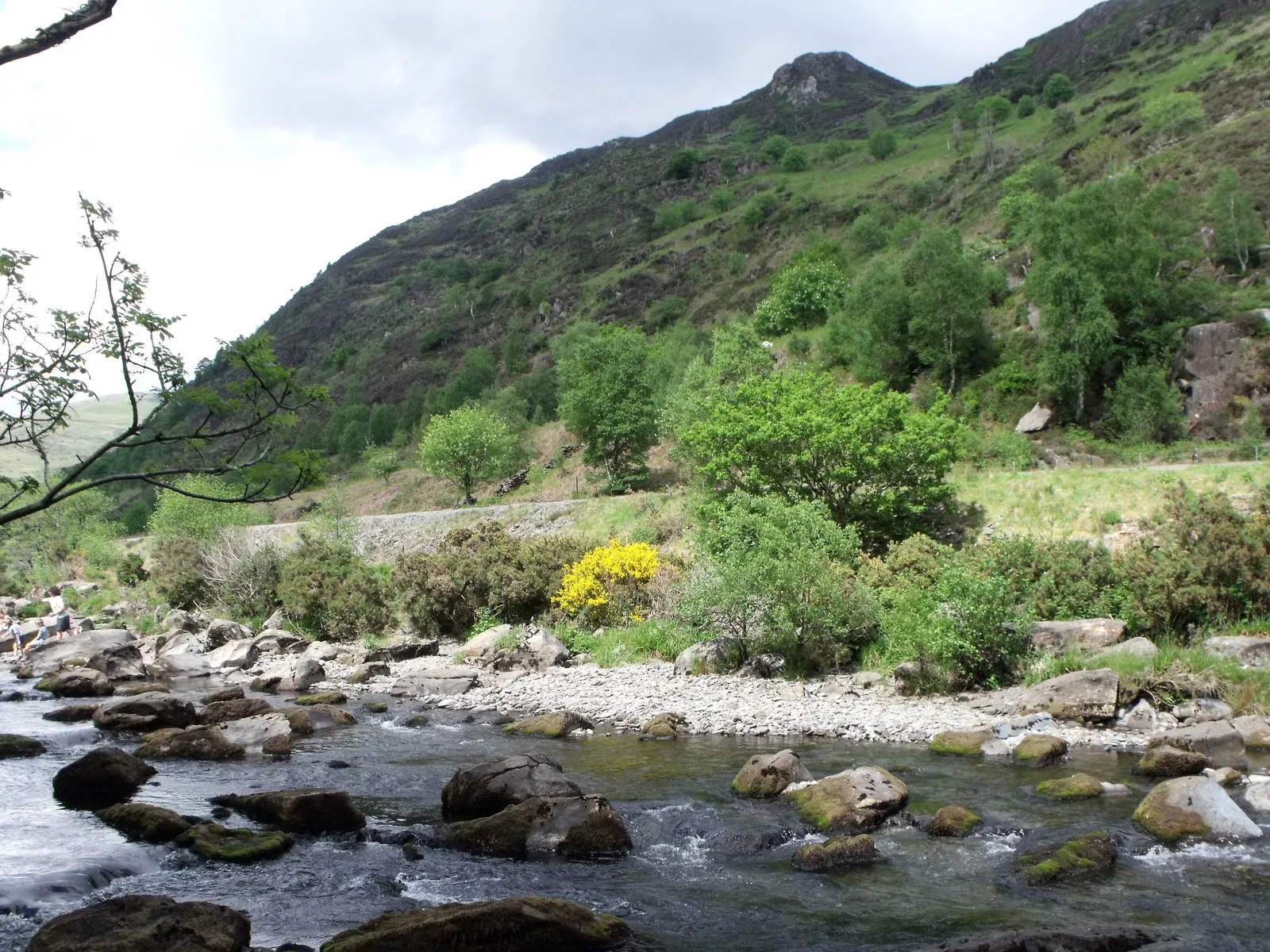
A narrow wooded pass where the Glaslyn drops through rock, on the riverside path south of the village.
Beyond the first defining moments, the fuller Beddgelert catalogue continues below.
A village shaped by its river confluence, its church and grave to the south, and its mine, railway and forest spread wider: seven stops across a short walk or a longer one.
No verified image yet
Gelert's Grave
A short walk south along the riverside path from the village centre, in a meadow beside the Afon Glaslyn.
Seven stops, from the confluence itself to the wider valley: a grave built for tourists, a priory that became a parish church, an underground mine, a heritage railway, a wooded gorge, a forest lake walk and a National Trust estate. No restaurants, pubs or shops are listed here; see Local life for the village's everyday character.
Heritage
The reason the village is famous, and a grave built by a local innkeeper to draw visitors, not a medieval one. Knowing that makes the walk better, not worse.
Working church
The village’s real name comes from this church rather than from the dog: the direct successor to an Augustinian priory, and still the parish church.
Seasonal, ticketed
Put on a helmet and walk real workings rather than a reconstruction: copper was cut out of this hill from Roman times until the veins ran out.
Check opening times and tickets (opens in a new tab)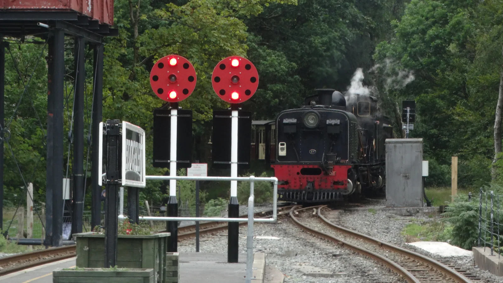
Heritage railway, seasonal
Steam eases into a curved island platform in the middle of the village, on a line that was pulled up and then rebuilt end to end.
Check timetables and book tickets (opens in a new tab)Riverside walk
The Glaslyn narrows and drops fast through a wooded gorge, with the old railway formation running alongside. Genuinely rocky where the path meets the river.
Waymarked walking
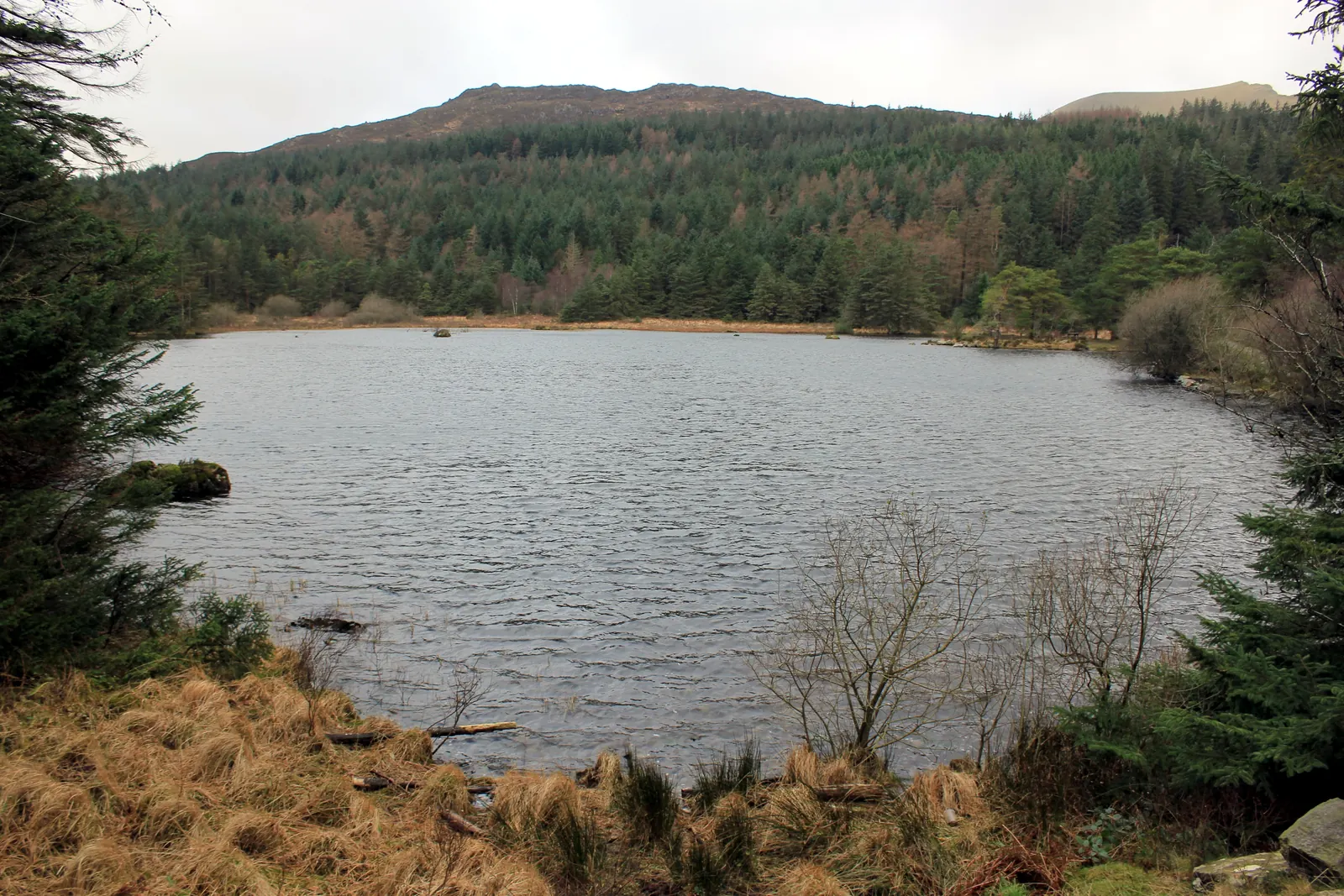
A waymarked forest climb to the secluded Llyn Llywelyn, with views back across the valley: a real change of pace from the busy riverside paths.
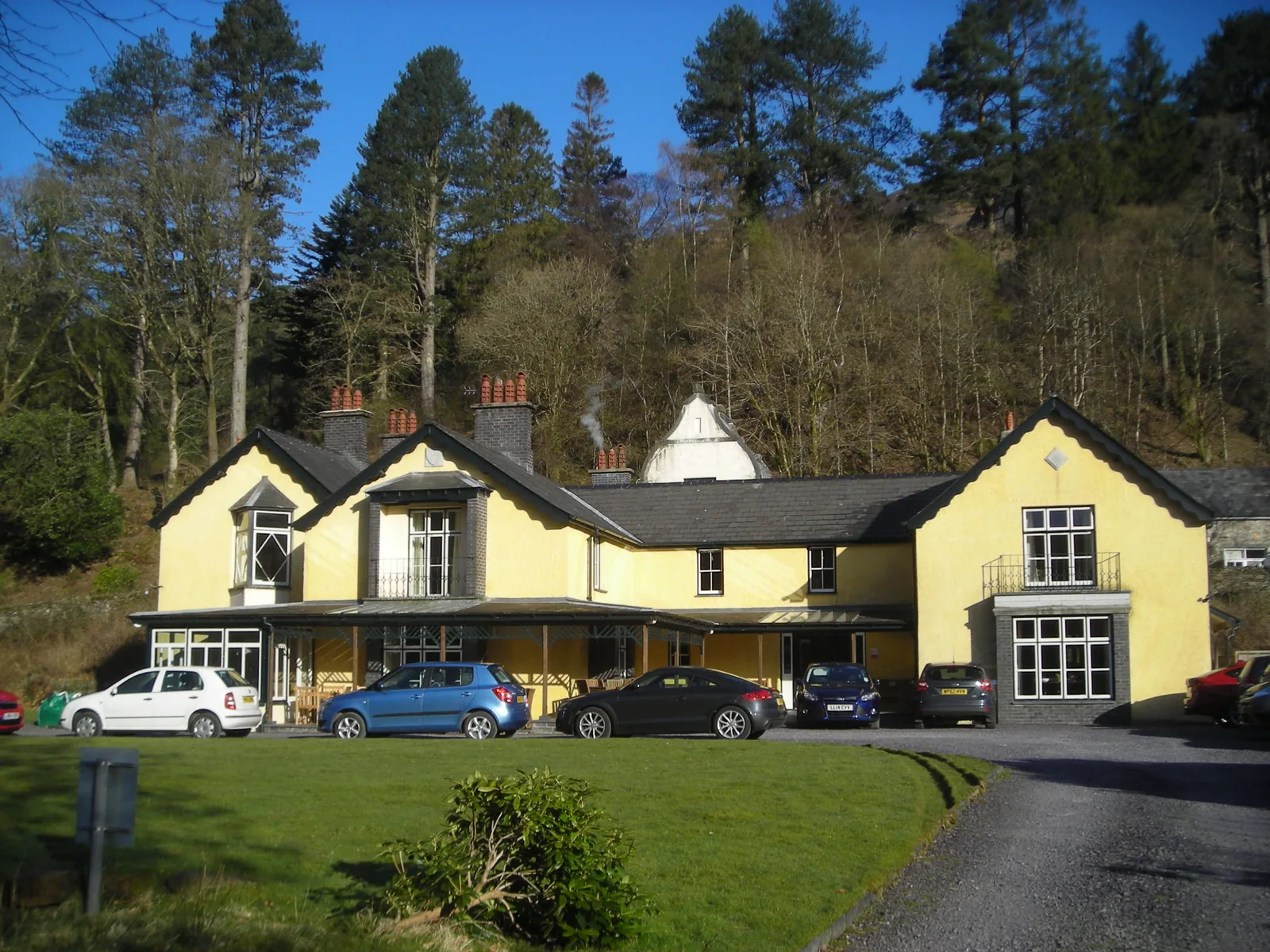
National Trust
A National Trust valley of woodland and two lakes, quieter and greener than the village centre, with its own car park about a mile from the shops.
Sygun Copper Mine's opening days and the Welsh Highland Railway's timetable both change seasonally. Confirm current details before you plan a day around either.
Sygun Copper Mine, visitor information03Story
Beddgelert means “Gelert's grave”, but the Gelert the name honours is Saint Gelert, an early Celtic missionary, not the legendary hound. The dog story was attached to the place centuries later, and its physical “grave” is younger still.
The confluence of the Glaslyn and Colwyn, and the pass to the south, were a natural route through the mountains long before any settlement is documented here.
An early Christian community here is mentioned by Gerald of Wales during his 1188 journey through Wales: the real origin of the village's name, centuries before any dog story existed.
An Augustinian priory grew here with support from Welsh nobles including Llywelyn the Great, was damaged by fire in 1283–84, and closed at the dissolution of the monasteries in October 1535: continuing ever since as the parish church, St Mary's.
Small Roman-era workings at Sygun deepened through the Industrial Revolution — 1836 production was valued at £2,800 — before the mine closed in 1903 as the veins ran out.
David Pritchard of the Royal Goat Inn built Gelert's Grave around 1793–1802 to draw visitors. The narrow-gauge railway reached the village in 1922, closed in 1936, and reopened on 7 April 2009: Sygun Copper Mine itself became a tourist attraction again in 1986.
The village is named after a saint, not a dog, but the grave built for the dog is now the older story most visitors hear first.
Atlas of Wales
Beddgelert is small, but it is not only a legend stop. Hotels, cafés, an outdoor-shop or two and a genuine bus and rail interchange keep the village working through the year, not just in the months either story draws a crowd.
Visitors share the bridge, the square and the riverside paths with people who live and work here. The centre is busiest around the middle of the day in summer; early mornings and the shoulder seasons feel much quieter.
The Eryri NPA car park in the village takes card or contactless only: no cash accepted.
Where most visits actually start: the car park, the bridge, and the first view of the church tower and the hills behind it.
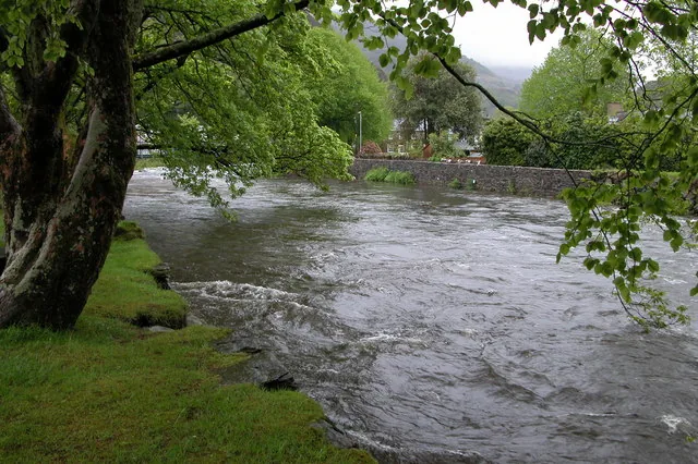
The paths to the grave and through Aberglaslyn follow moving water, which changes with the weather: a swollen Glaslyn after rain looks nothing like the same path in a dry August.
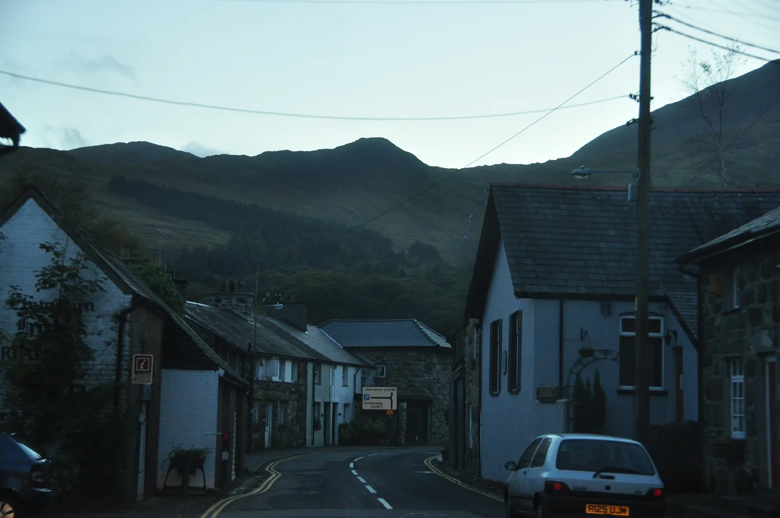
Once the day-trip traffic thins, Beddgelert settles into a smaller, residential place: hotels and guesthouses lit, the road quiet, the hills still visible against the sky.
The valley in one visit
A grave built for tourists, a genuine medieval church, a mine that once employed the valley, a railway that came back, and forest and gorge walking straight from the door: all reachable on foot or a short drive from the same bridge.
Plan your time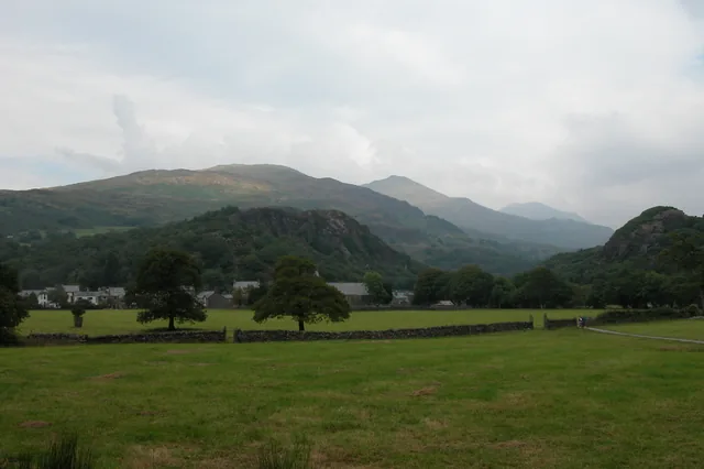
Beddgelert means “Gelert's grave”, but the Gelert it honours was a saint, not a dog.
Atlas of Wales
04Plan
The village's main car park, right by the bridge.
A couple of minutes south, on Church Street.
The riverside meadow, and the true story behind it.
Loop back through the village centre.
The village's main car park, right by the bridge.
The church and Gelert's Grave, a few minutes apart.
Watch a train come in, or catch one further up the line.
The underground tour, about a mile north-east.
A pause in the centre before heading on.
An early start gets ahead of the busiest midday hours at the car park.
St Mary's, then Gelert's Grave along the riverside path.
Follow the Glaslyn into the gorge; take care on the rockier sections.
Back through the village and out to the mine for the underground tour.
The National Trust's woods and lakes, or Beddgelert Forest's Llyn Llywelyn walk.
End the day back at the platform, or ride a train out and back.
Practical
Everything you need for arriving and getting around.
Getting here
The A4085 runs through the village, linking Caernarfon (about 13 miles north) and Porthmadog (about 8 miles south). The Eryri National Park Authority car park serves the centre; a separate National Trust car park serves Craflwyn.
View parking detailsSnowdon Sherpa services connect Beddgelert with Pen-y-Pass, Caernarfon and Porthmadog: useful for one-way mountain walks that don't return to the same car park.
Sherpa’r Wyddfa timetablesThe Welsh Highland Railway calls at Beddgelert on its Caernarfon–Porthmadog route: a seasonal heritage timetable, not a year-round public transport service.
Check the timetablePractical details
Three car parks, three different operators. The Eryri National Park one in the village centre takes card or contactless only, no cash; Colwyn Banc, north over the bridge, is Cyngor Gwynedd’s and has a height-restriction barrier; the National Trust’s is up at Craflwyn, north of the village on the A498.
Check the Eryri NPA parking pageCharges and restrictions can change. Check the signs when you arrive.
Beddgelert
Village centre · by the river
Google Maps (opens in a new tab)Colwyn Banc
Ffordd Caernarfon · north of the bridge
Google Maps (opens in a new tab)Craflwyn
Craflwyn · north of the village
Google Maps (opens in a new tab)Public toilets on the path toward Gelert's Grave, plus an accessible toilet at the Craflwyn car park.
Check the Gwynedd Council toilets listingNear the path to Gelert's Grave · Craflwyn car park
Accessible cubicle in the village needs a RADAR key
The village core is broadly level around the bridge; the riverside paths and Sygun Copper Mine's underground tour are not.
Sygun Copper Mine's underground tour is not wheelchair or pushchair accessible: metal stairs connect its levels.
Broadly level around the bridge and car park
Uneven ground; the mine's underground tour has stairs, not accessible
Gwynedd's county-wide dog control order applies; National Trust land at Craflwyn and Aberglaslyn requires dogs on leads near livestock.
No Beddgelert-specific exclusion zone is confirmed here. Check the council's own schedule before you travel.
Dogs may go underground at Sygun Copper Mine, but the metal stairs between levels don't suit every dog.
Sygun Copper Mine and the Welsh Highland Railway both run seasonal, published calendars. Check before building a day around either.
Sygun Copper Mine opening informationEverything else in this guide — the church, the grave, the paths — is free and open at all times.
The village centre, church and grave are all walkable from Dol Fair; the mine, the pass, the forest and Craflwyn are further afield.
Use Beddgelert as a base
Four real Atlas destinations pair with a Beddgelert visit: distances are straight-line from the village centre, not driving times.
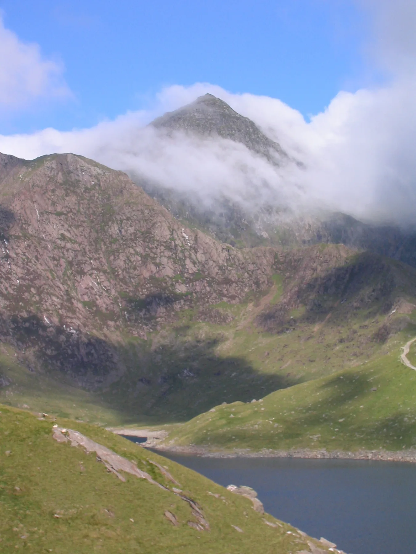
The highest mountain in Wales rises directly above the valley: several summit routes start a short Sherpa-bus ride from the village.
About 4.1 miles north (straight-line)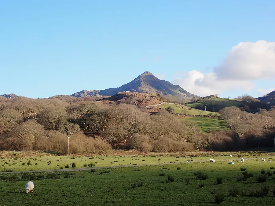
The “Welsh Matterhorn”, reached from Croesor a short drive east: a sharper, shorter mountain than Yr Wyddfa's crowds.
About 3.6 miles east (straight-line)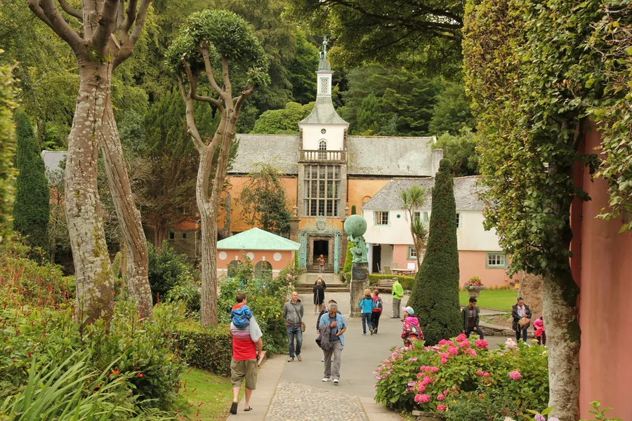
An Italianate village built as one architect's decades-long project: a complete change of register from the valley, a short drive south.
About 6.8 miles south (straight-line)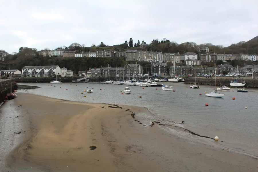
A harbour an embankment scoured into deep water by accident, and two railways’ terminus.
About 5.9 miles south (straight-line)Before you go
Walk from the bridge to the grave, and the real story turns out better than the one built to sell it.