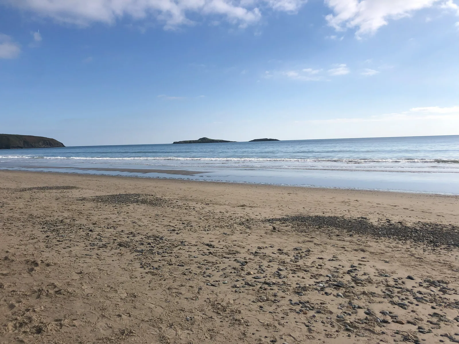
A mile of sand facing south
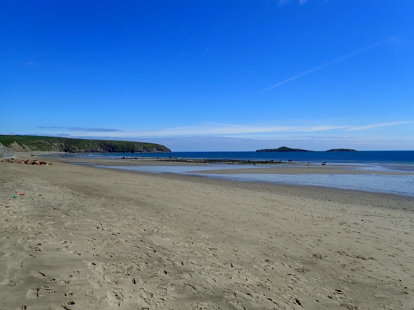
South-facing sand that stays usable at the exposed end of the peninsula when the western coves do not.
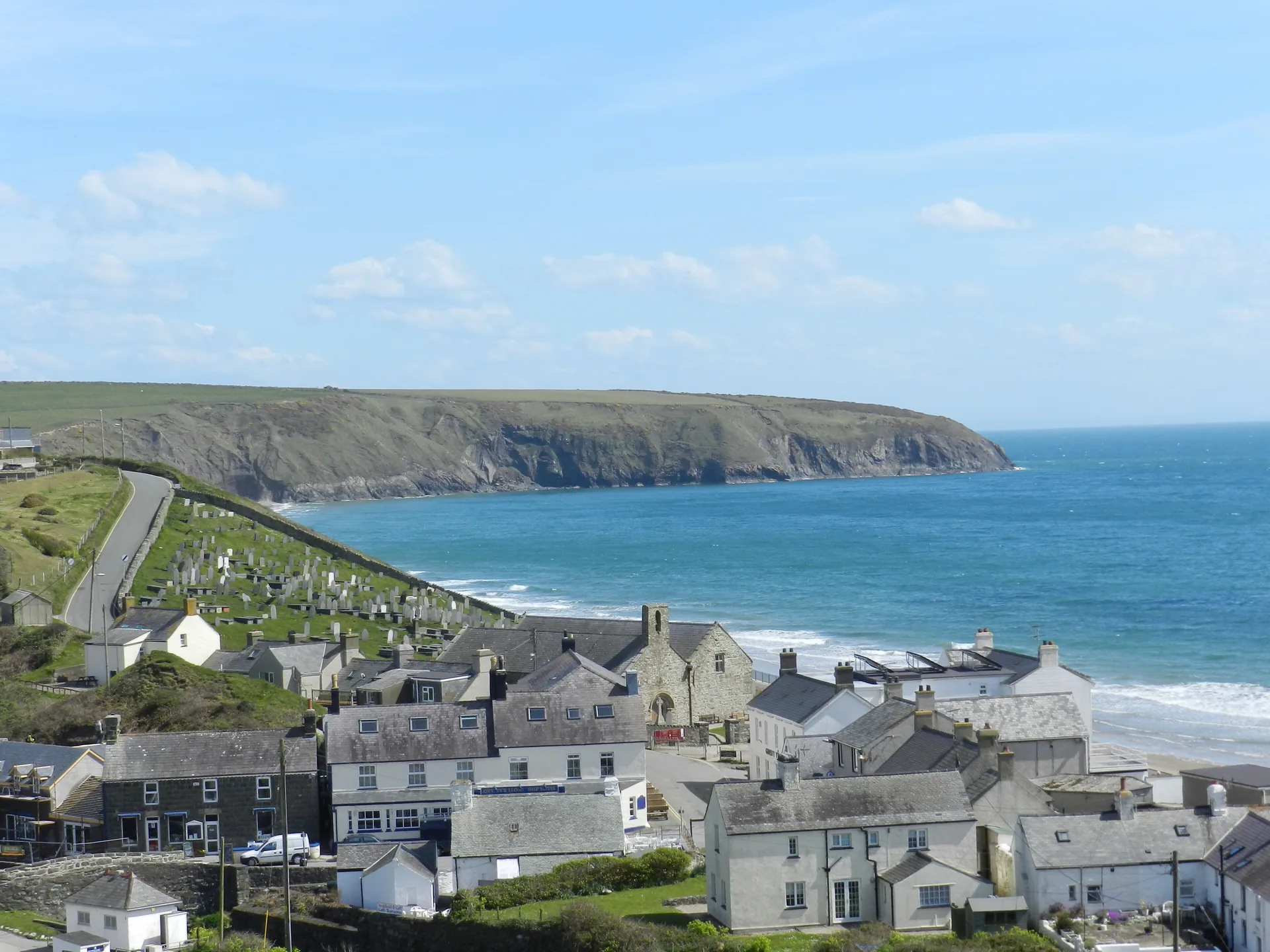
Gwynedd · Llŷn Peninsula
The road runs out here. A medieval church stands on the tideline, two rivers meet under one bridge, and a mile south the boats still leave for Enlli.
01The village
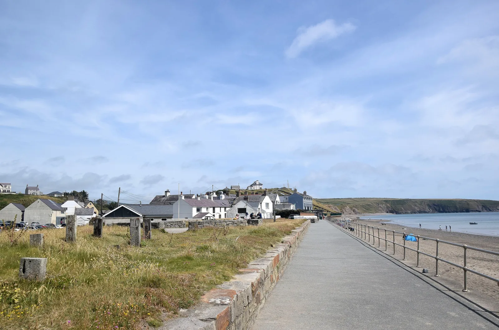
Aberdaron is the last village on the Llŷn, and the road ends in it. Two small rivers, the Daron and the Cyllyfelin, meet at the bridge in the middle and cross the sand as one channel. West of the bridge a promenade runs out to the beach, with the church standing on the shore at its far end; everything else — the cove, the coast path, the Sound — leaves from the edges.
Very few Welsh villages put a Grade I building on the tideline, a mile of open sand and a working boat cove within a walk of one another. Aberdaron does, and it is small enough that you can take all three in a day without moving the car.
Character
Just under 900 people live in the community, and around seven in ten speak Welsh: one of the highest proportions anywhere in Wales. A shop, a bakery, cafés and a pub carry the everyday side of it.
Pace
The centre, the bridge and the promenade are flat and close together. The coast path climbs hard in both directions, and the track to Porth Meudwy drops down a valley.
Landscape
Sand runs east from the village for the better part of a mile, ending in caves. The whole coast sits inside the Llŷn Area of Outstanding Natural Beauty and the Heritage Coast designated in 1974.
Best for
Best for anyone who wants a beach and a thousand years of history in the same afternoon, and for walkers on this stretch of the Wales Coast Path, which passes straight through.
02Discover
South-facing sand that stays usable at the exposed end of the peninsula when the western coves do not.
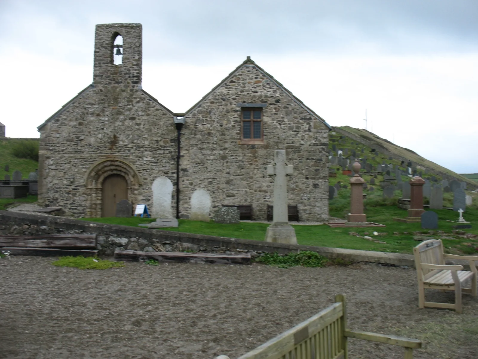
A church that stands on the shore itself, close enough that you hear the sea from the churchyard.
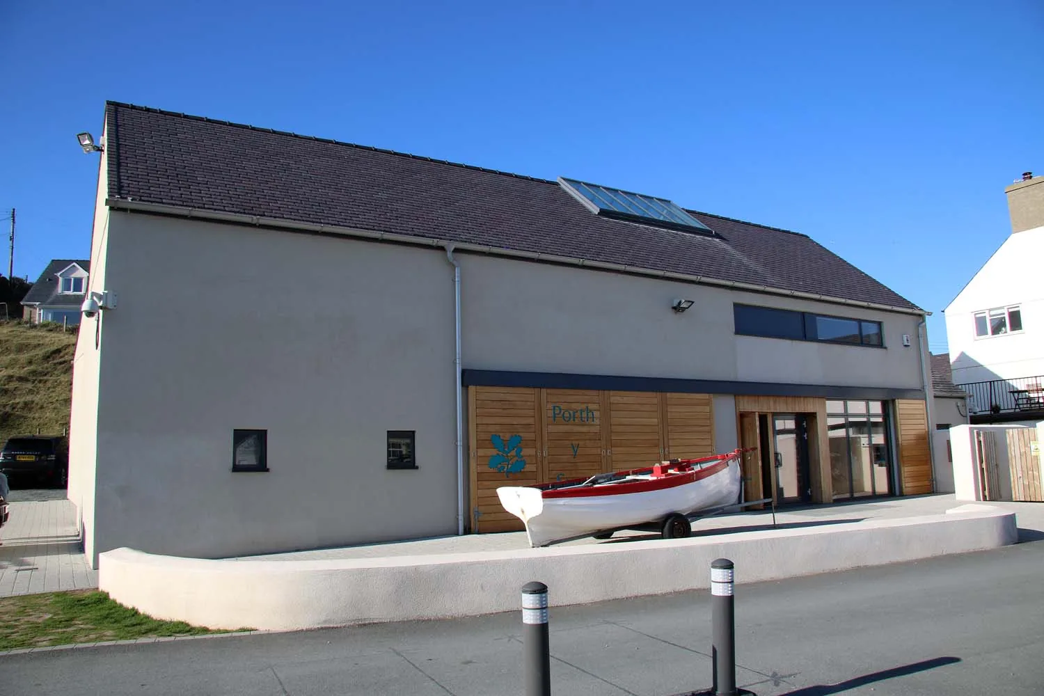
The decommissioned lighthouse optic from Bardsey, now indoors a mile from the water it once lit.
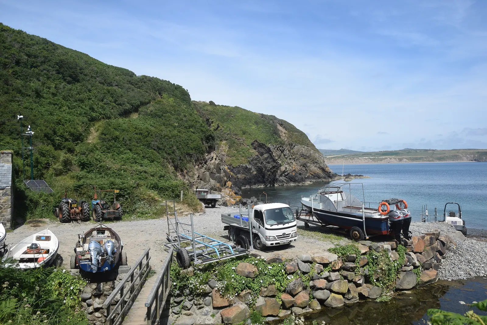
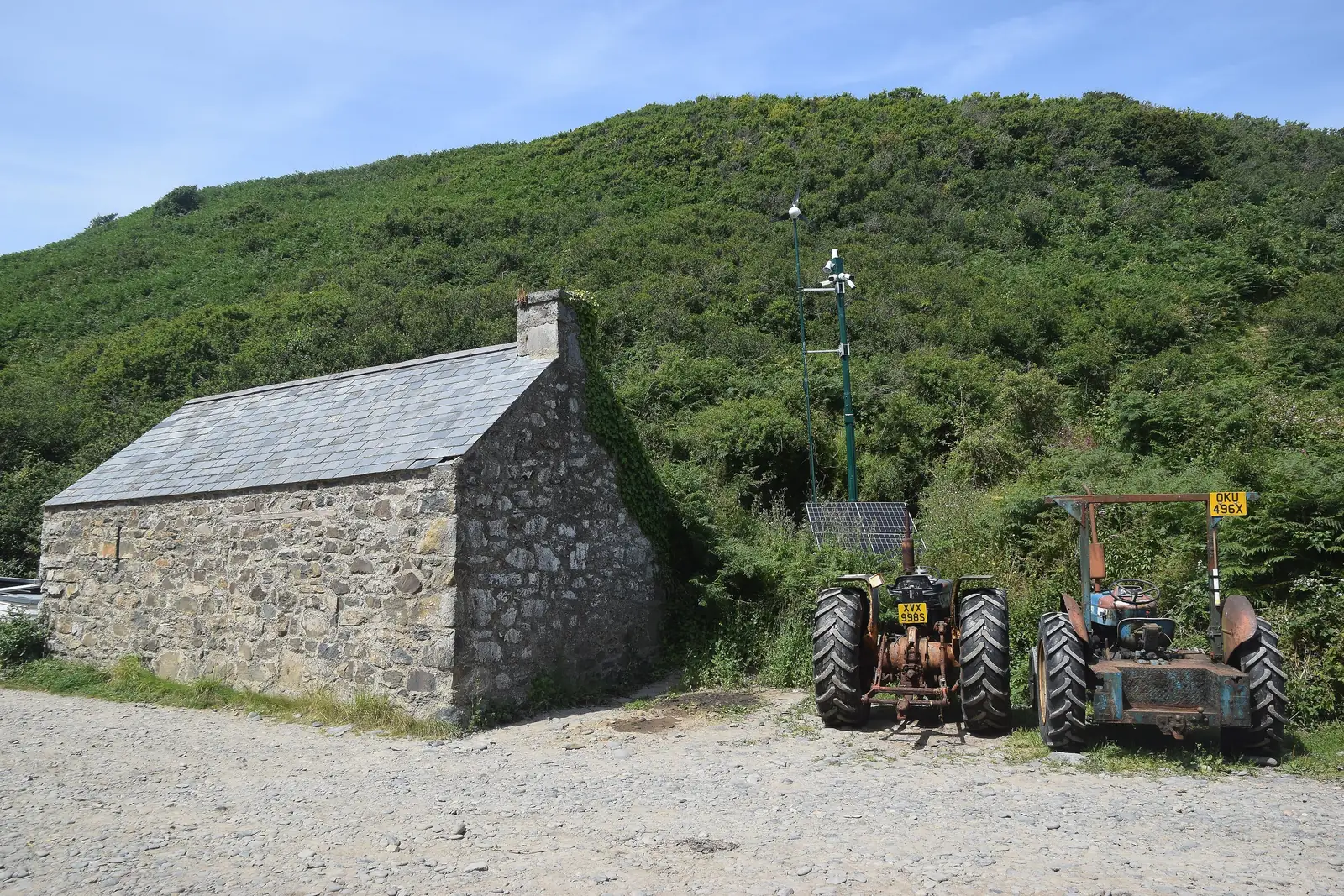
A working shingle cove of tractors and pots, where the boats for Bardsey still leave from the same slipway.
Beyond the first defining moments, the fuller Aberdaron catalogue continues below.
One bridge, one promenade and one beach: five stops, four of them within a few minutes of each other and the fifth down a track to the south-west.
No verified image yet
Traeth Aberdaron
Begins at the foot of the village and curves east round the bay for most of a mile. The pin marks the middle.
Five places, four of them within a few hundred metres of one another and the fifth down a track to the south-west: a mile of south-facing sand, a Grade I church on the shore, a listed building the pilgrims are remembered by, a National Trust room built round a lighthouse lens, and the working cove the Enlli boats leave from. No cafés, shops or pubs are listed here; see Local life for the village’s everyday character.
Beach
At the exposed end of the Llŷn a sheltered, south-facing beach is not a given. This one starts at the foot of the village and runs most of a mile.
Find tide times (Admiralty EasyTide station search) (opens in a new tab)Grade I church
The church pilgrims came to before they went to sea: built on the shore rather than safely inland, and very nearly lost to it.
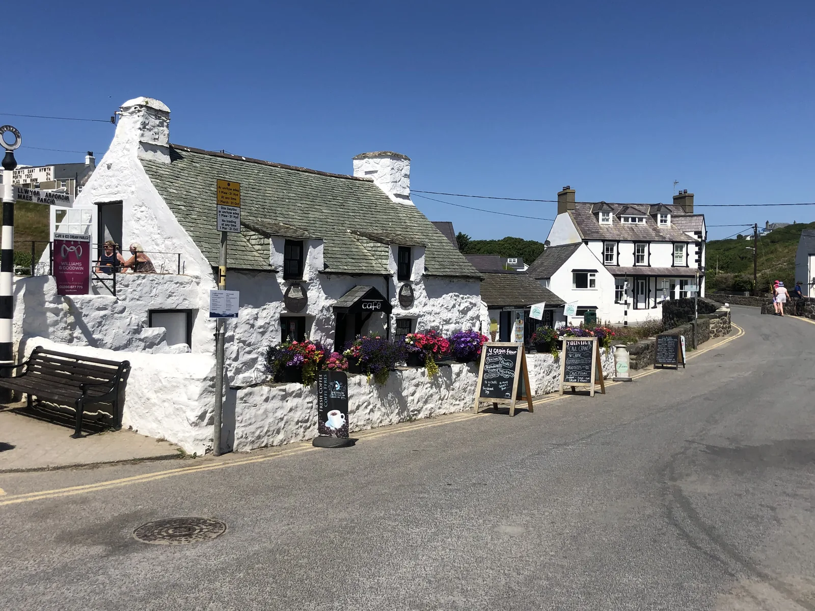
Grade II listed
Pilgrims waiting for a boat to Enlli could claim a meal here. It still feeds people, which is a rare kind of continuity to be able to walk into.
Interpretation centre
Most interpretation centres explain what you have just walked. This one explains the water you cannot, and puts the Bardsey lighthouse lens in a room with you.
Check opening times (opens in a new tab)Working cove
The pilgrimage did not end at the church: it ended on this shingle, waiting for a willing sea. The Enlli boat still leaves from the same slipway.
Check sailings to Enlli (opens in a new tab)The Enlli crossing runs a short season and is cancelled at short notice in poor weather, and the National Trust sets Porth y Swnt’s opening times year by year. Confirm both before you plan a day around either.
National Trust: Porth y Swnt03Story
Aberdaron was never a destination in its own right. It was the place you stopped because the land ran out and the sea was not ready for you, and almost everything here grew out of that wait.
Two carved boulders now kept in the church commemorate priests called Veracius and Senacus, who lived in the fifth or sixth century; they were found in the eighteenth century on farmland near Mynydd Anelog. The church itself carries the dedication of Hywyn, and the village carries the river’s.
Medieval pilgrims held that three journeys to Bardsey were worth one to Rome, and the crossing is short but treacherous, so they waited here: sometimes for weeks. Gruffudd ap Cynan took sanctuary at the church in 1094; Edward I came through on his way to the abbey in 1284.
The nineteenth century put the parish to wool, herring, shipbuilding, limestone, lead and manganese. Manganese was found at Y Rhiw in 1827; by 1906 the workings employed two hundred people, and more than 113,000 long tons of ore came out between 1840 and 1945. The two stone bridges over the Daron went up in 1823.
In 1841 the parish abandoned the old church on the shore and worshipped inland instead. It stood empty for sixty-five years before it was restored and reopened in 1906, and it was refurbished again in 2006, under a hammerbeam roof.
After the Second World War the village turned to holiday trade. R. S. Thomas was vicar here from 1967 to 1978 and wrote much of what the outside world knows of the place; Roy Campbell had finished The Flaming Terrapin here half a century earlier, and Dic Aberdaron, the self-taught linguist, is the subject of one of Thomas’s poems.
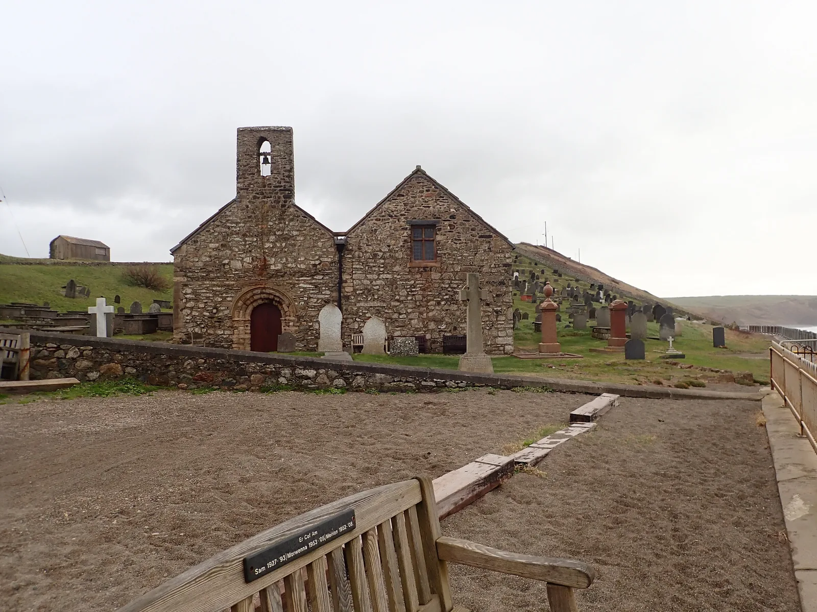
The village was built by people who could not leave yet, and who had to be fed while they waited.
Atlas of Wales
Fewer than nine hundred people live in the whole community, spread over nearly forty-eight square kilometres of farmland and cliff, and seven in ten of them speak Welsh. The village is where they shop, post, park and meet.
Summer fills the two car parks and the sand. The rest of the year the same street does the same work with nobody watching.
The road stops at the village and the lanes beyond it are single-track with passing places. Park once and walk: everything in this guide except Porth Meudwy is closer on foot than by car.
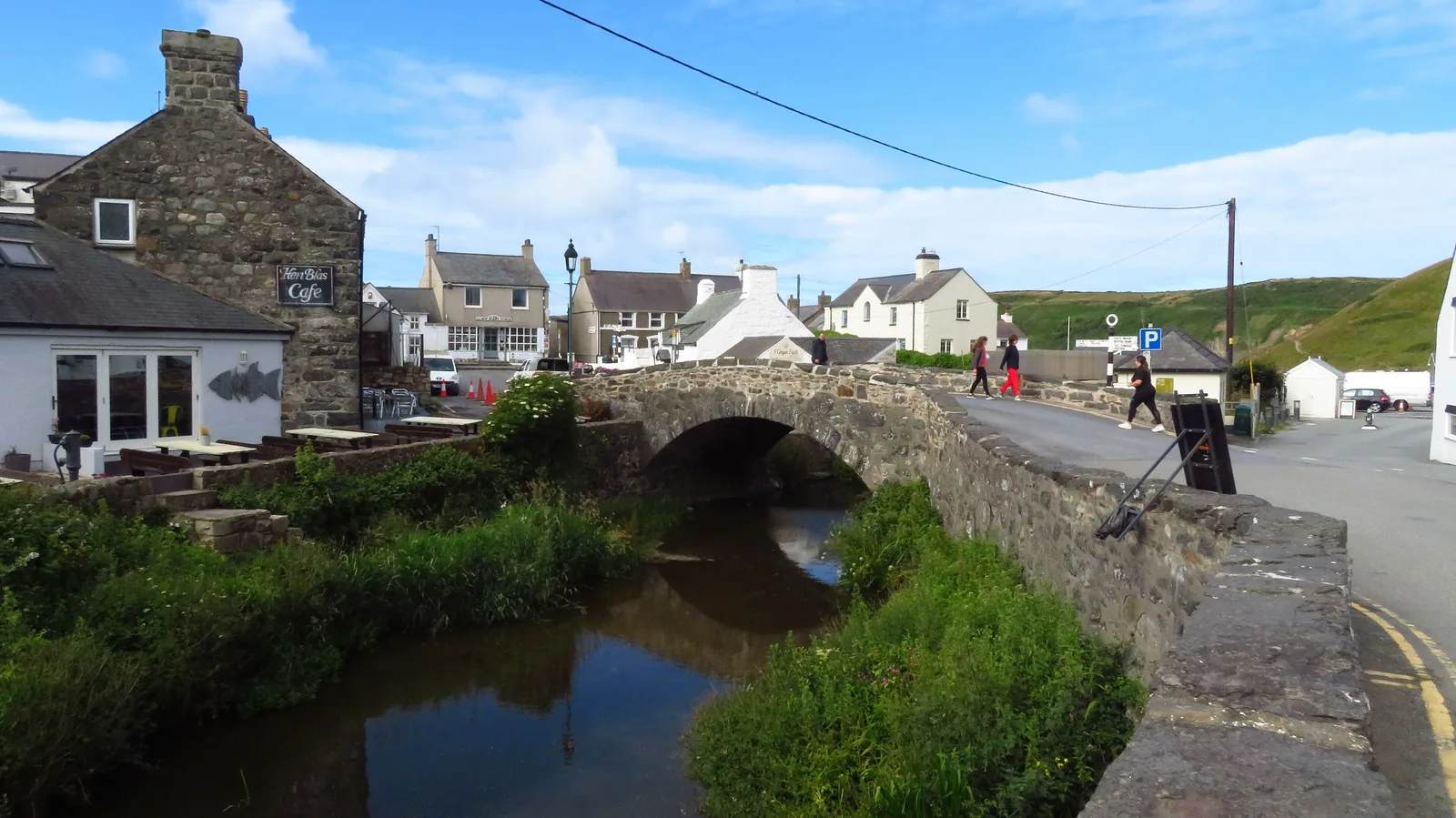
The Daron and the Cyllyfelin join a few metres above the bridge and cross the beach as one stream. Stand on the parapet and you have the shop, the centre and the way to the sand all within sight.
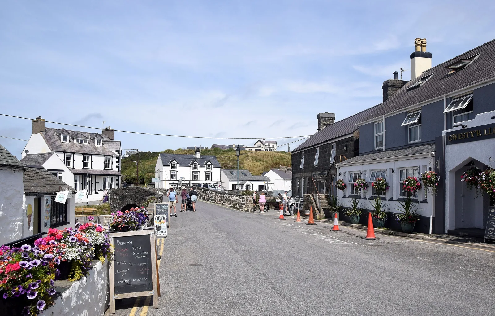
A shop, a bakery, cafés and a pub sit along a few hundred metres of the B4413. None of them is a visitor attraction; they are how a community of this size stays a community.
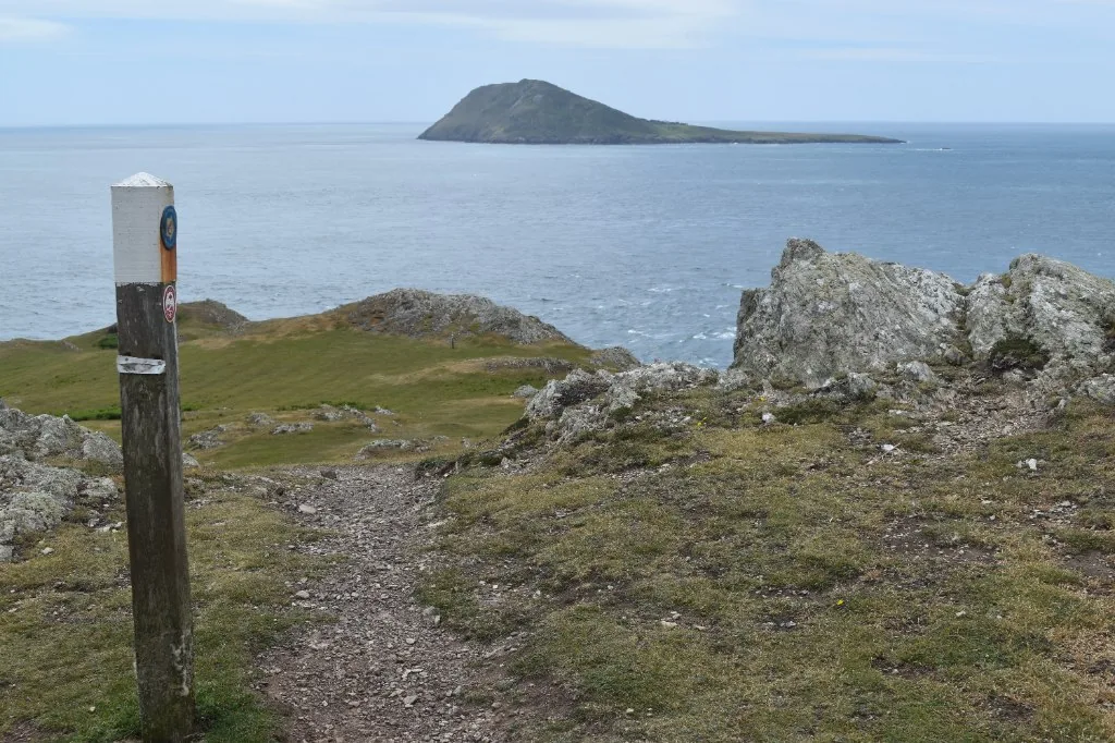
The Wales Coast Path climbs out of the village in both directions: roughly fourteen kilometres and six hundred metres of ascent back to Porth Oer one way, Rhiw and Porth Neigwl the other. Walkers are a steady part of the year here.
The village in one walk
Park once, cross the bridge, and the centre, the promenade, the sand and the church come one after another without a decision to make. Only the cove asks you to commit to a walk.
Plan your time
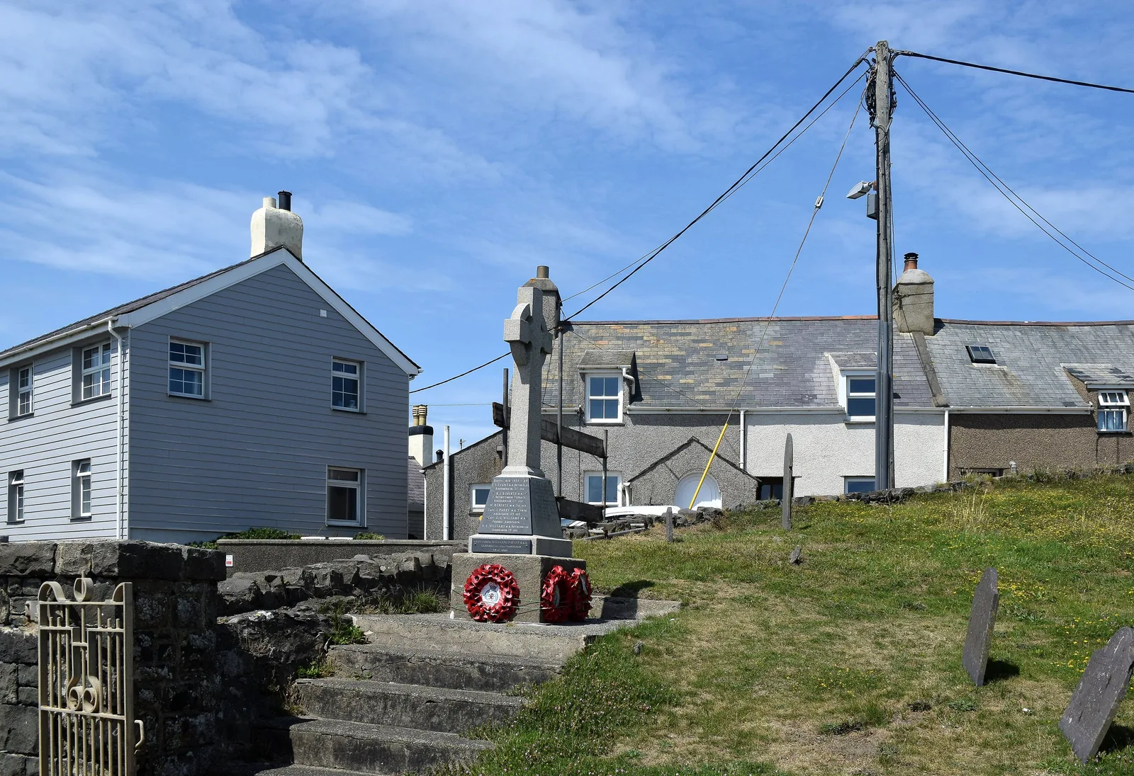
Seven in ten people here speak Welsh. The village is not preserving that; it is just using it.
Atlas of Wales
04Plan
The two rivers join just above it; the village reads outward from here.
Flat the whole way, with the bay opening on your left.
Turn east and the beach runs out ahead of you for most of a mile.
The churchyard sits above the shore at the promenade’s western end.
Get the shape of the village before the beach takes the afternoon.
The corner building the pilgrims are remembered by, still feeding people.
Three rooms, free entry, and the Bardsey lighthouse optic at the end of them.
Follow the sand to the far end, where the caves are, and come back.
The churchyard is the quietest place in the village late in the day.
The Sound makes far more sense once you have seen the lens.
The two naves, the Romanesque door and the stones inside.
Take the middle of the day on the beach while the light is on it.
South-west out of the village, then down the valley towards the cove.
Pots, tractors and the slipway the Enlli boats work off.
Climb out of the cove and Enlli is there, across the water.
Practical
Everything you need for arriving and getting around.
Getting here
The B4413 runs in from the north-east and stops in the village: there is no through route west. Two car parks serve the centre, both paid. Porth Meudwy has its own separate National Trust car park at Cwrt, LL53 8DA.
Open the National Trust car park in Google MapsBerwyn services 17 and 17B and Nefyn Coaches 8B serve the village. Neither operator publishes a route page, so plan door to door. The nearest railway station is Pwllheli, about fifteen miles east at the end of the Cambrian Coast Line.
Traveline Cymru journey plannerPractical details
The National Trust car park behind Porth y Swnt is the one most people use — pay-and-display, free to Trust members and Blue Badge holders. A second car park sits north of the centre on the B4413. The road ends here, so both fill in summer.
Check the National Trust’s Porth y Swnt pageCharges and restrictions can change. Check the signs when you arrive.
Porth y Swnt (Henfaes)
Village centre · behind the visitor centre
Google Maps (opens in a new tab)Pont Fawr
North of the centre · on the B4413
Google Maps (opens in a new tab)Porth y Swnt has toilets and free entry, which makes it the reliable stop in the middle of the village.
Opening times vary through the year and are not published here. Check with the National Trust before you rely on them.
Beside the bridge, at Porth y Swnt
The National Trust
The centre, the bridge and the promenade are level and close together. Porth Meudwy is a track down a valley, and the coast path climbs steeply out of the village in both directions.
The bay dries a long way out. The caves at the eastern end should not be explored on a rising tide.
Level along the B4413 and the promenade
Single-track lanes with passing places, and a stiff coast path either way
Aberdaron is on Cyngor Gwynedd’s list of beaches covered by its Public Spaces Protection Order, and part of the sand is closed to dogs for the summer season.
Check the council’s own beach mapNot printed here: the council publishes the excluded area as a per-beach map rather than in text, so read it before you go
Fouling anywhere in Gwynedd carries a fixed penalty of £100, reduced to £75 if paid within 10 working days
Boats to Ynys Enlli leave from Porth Meudwy, not from the village beach, and run a short season between April and October. The crossing takes around twenty minutes.
Check sailings with the operatorPorth Meudwy, 1.3 km south-west of the village
Bardsey Sound is exposed; sailings are cancelled at short notice
Not published here: fares and the island landing fee are set by the operator and the island trust
Everything in this guide except Porth Meudwy is a few minutes’ walk from the bridge. Leave the car where you first put it.
Use Aberdaron as a base
Four real Atlas destinations pair with an Aberdaron visit: distances are straight-line from the village, not driving times.
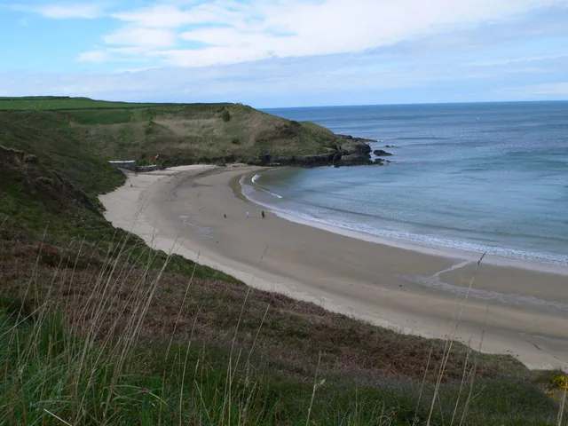
The next real beach north, on the peninsula’s exposed western side: a small cove whose sand squeaks underfoot, and the far end of the coast-path stage that finishes in Aberdaron.
About 2.1 miles north (straight-line)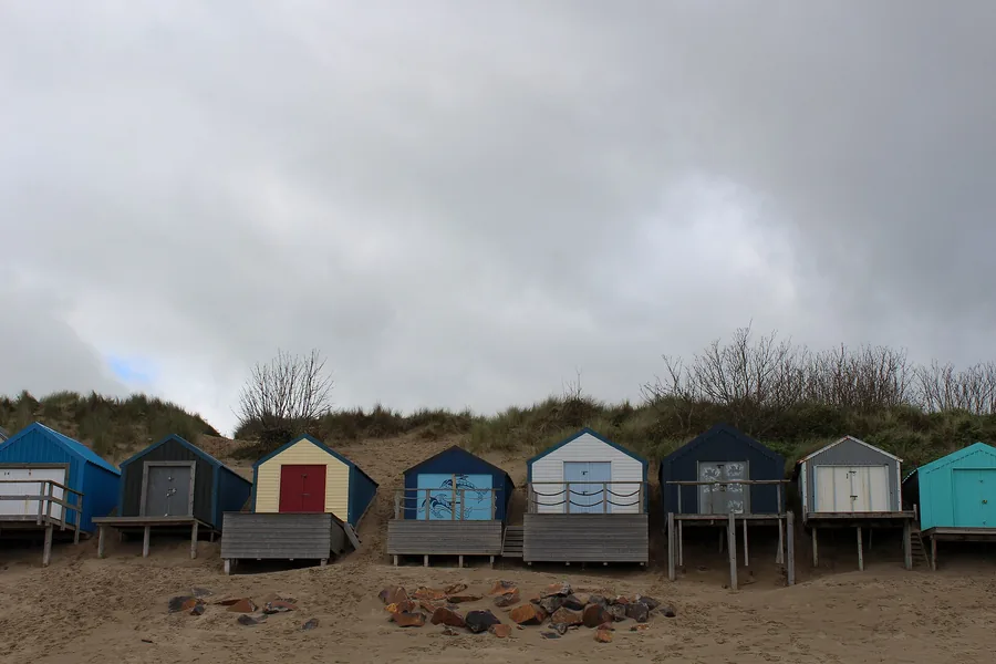
The busy end of the same southern coast, built around sailing and a yacht club racing since 1881: about as far from Aberdaron in character as it is in miles.
About 8.7 miles east (straight-line)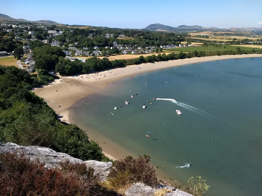
A sheltered bay with a painted line of beach huts and a Gothic house showing art since 1896: the Victorian version of what Aberdaron did with pilgrims.
About 10.2 miles east (straight-line)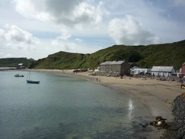
A row of cottages on a beach on the peninsula’s north coast, reached only on foot: the other working shoreline of the Llŷn, and the one that kept its houses.
About 11.3 miles north-east (straight-line)Before you go
Two miles of water have kept Enlli difficult for a thousand years, and that is the whole point.