Llanddwyn Island
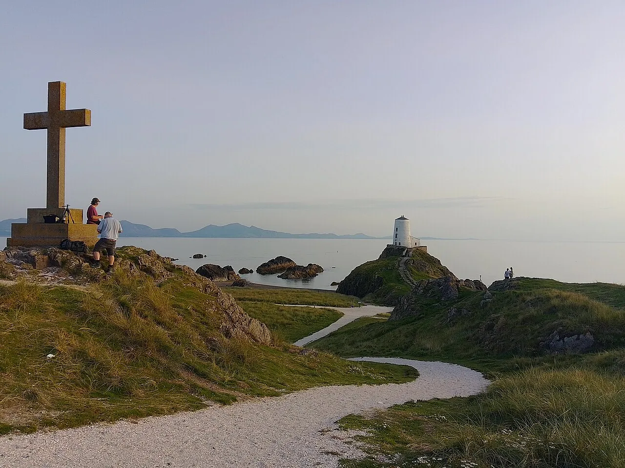
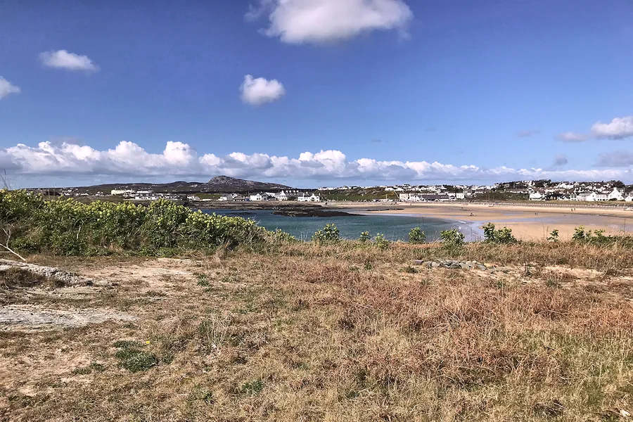
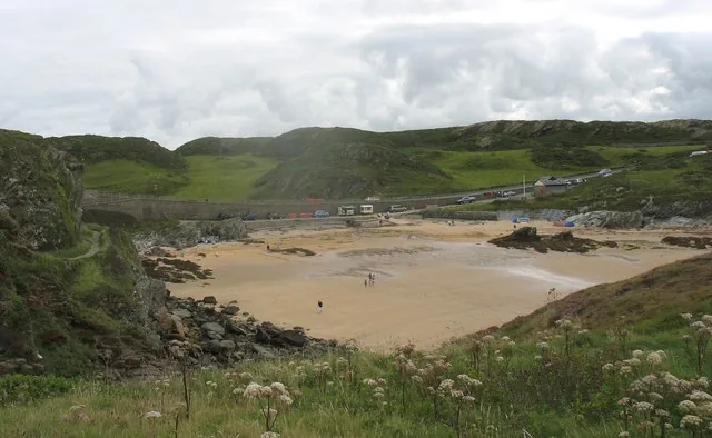
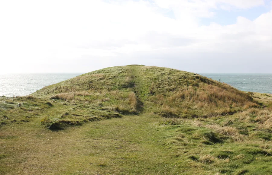
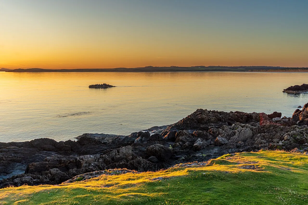
A tidal island of old pilots' cottages, a ruined chapel and twin lighthouses at the edge of Newborough — the place most people picture when they picture Anglesey. Walk out at low tide; check the tide first.
Ynys Môn — an island you can cross in an hour and spend a lifetime reading.
Anglesey is small enough to cross in a morning, but it rewards anyone who gives it more than a pass-through glance: sea light, old roads, ruined stone and long horizons.
Field notes
Choose a coast, compare the thirty-one places, then open the full guide for parking, tides, route detail and timing.
Four kinds of day, sorted by mood and weather rather than by map. A starting shape, not a schedule — let one stop lead to the next.
Anglesey makes more sense when you stop treating it as one place. It has four sides, each with its own weather and reasons to go. Pick a side, and you've picked your day.
Pick a coast. Plan a loop. The rest follows.
The full atlas
Every place we've stood in and written up, in one index. Start with the one below, or search the full list by name or the kind of day you want.
A tidal island of old pilots' cottages, a ruined chapel and twin lighthouses at the edge of Newborough — the place most people picture when they picture Anglesey. Walk out at low tide; check the tide first.
Not sure where to start? For drama, start with South Stack. For history, Beaumaris. For something stranger, Parys Mountain. For slow coast, Llanddwyn or Newborough.
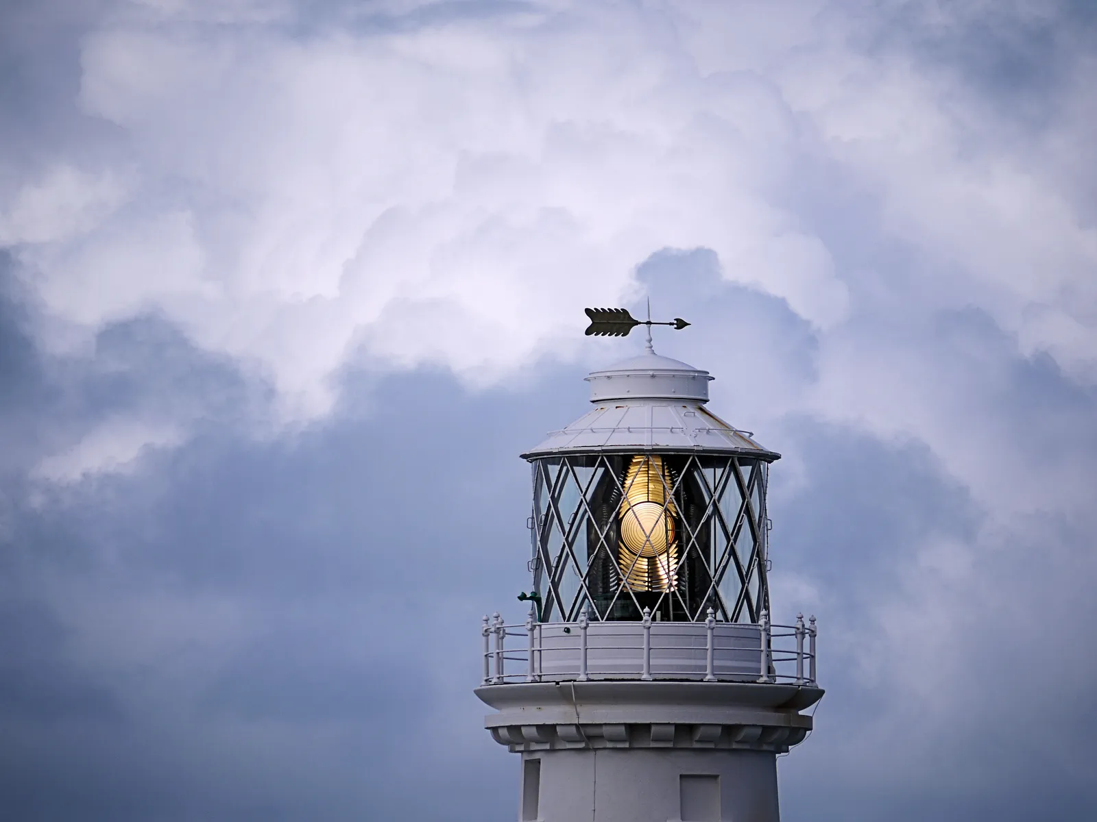
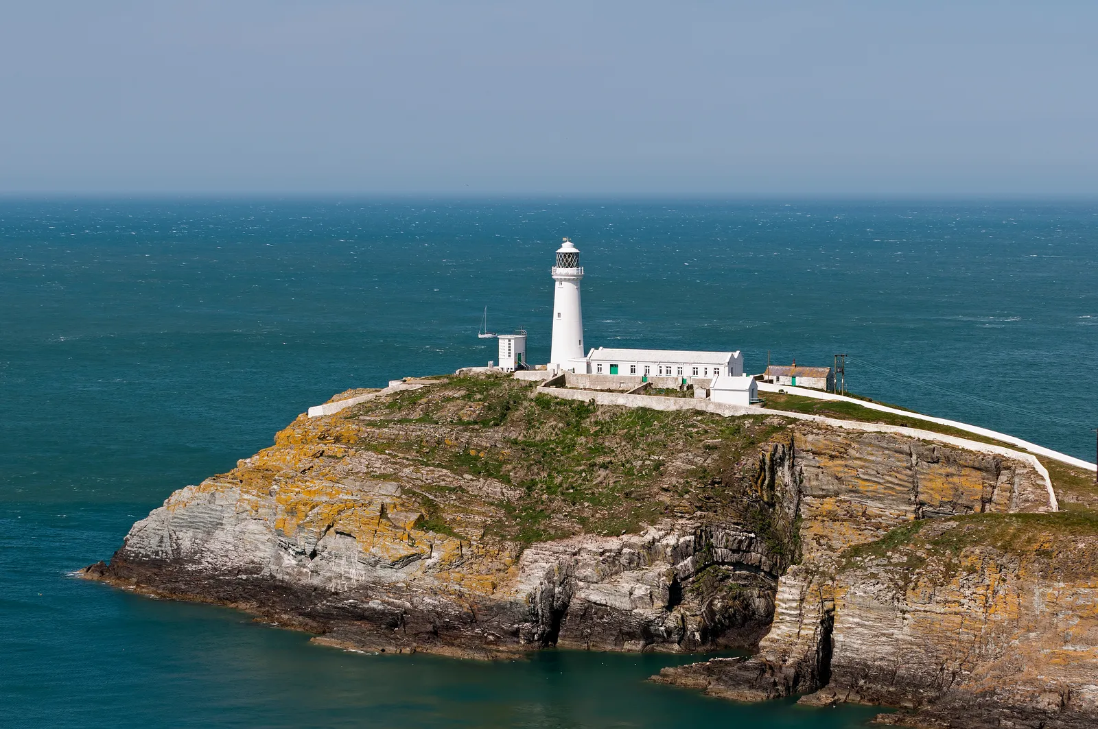
A sea-cliff lighthouse where Anglesey meets the wild edge of the Irish Sea: seabird cliffs and a long descent to the light.

A tidal island of old pilots' cottages, a ruined chapel, twin lighthouses and wide skies at the edge of Newborough.

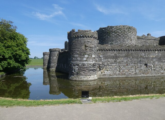
A 13th-century concentric fortress on the Menai Strait: never finished, still the most technically perfect castle in Wales.

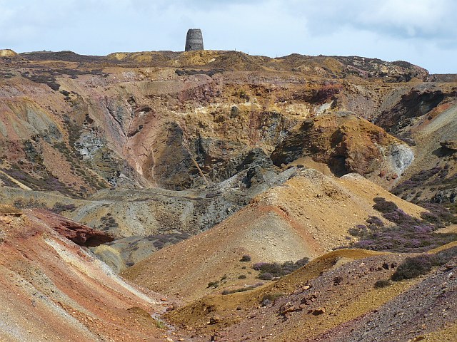
A strange copper-mined landscape of rust, ochre and violet earth above Amlwch, ground that doesn't look like Wales at all.

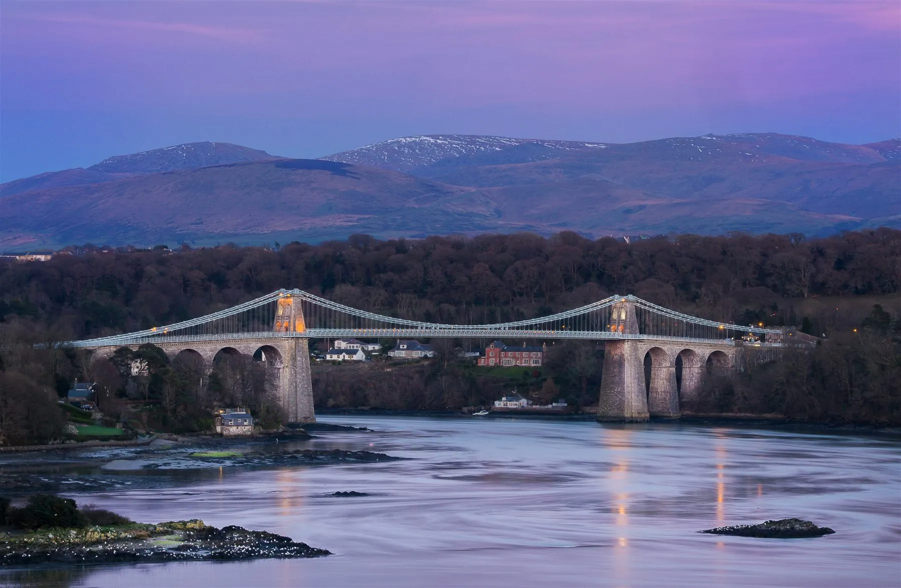
Telford's graceful bridge carrying the drama of the Menai Strait between island and mainland.

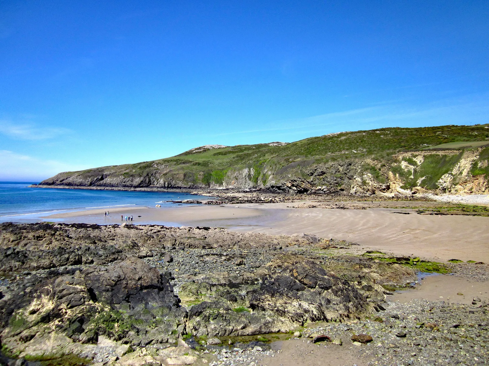
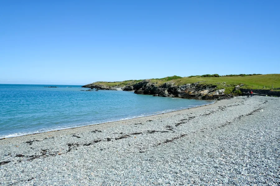
A tucked-away bay of pebbles, rock pools and cliff-backed water on Anglesey's quieter north-west coast.

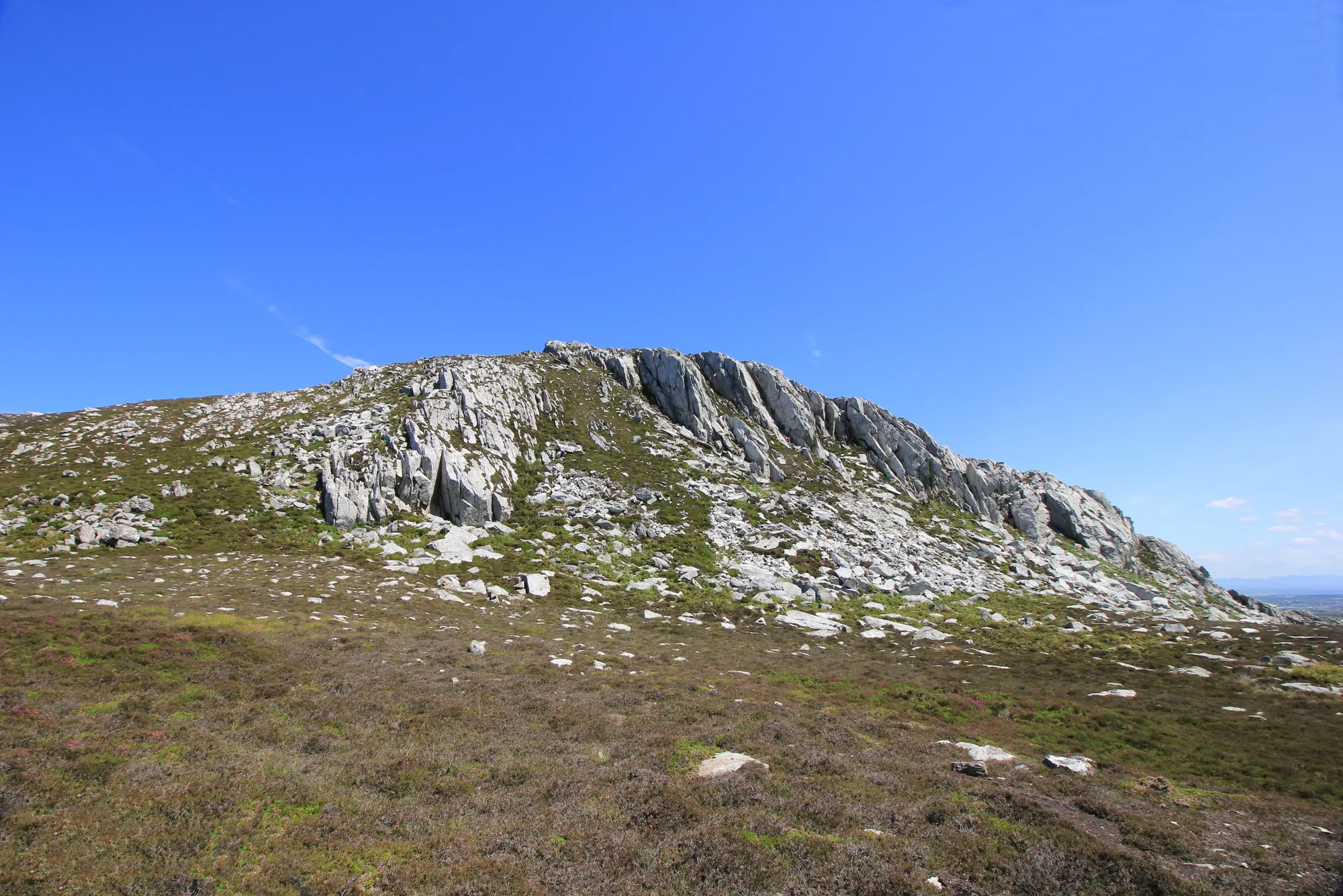
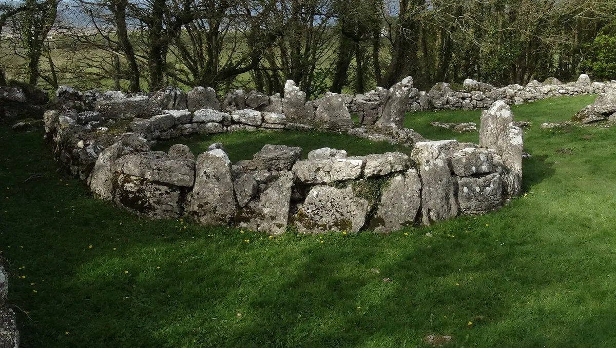
A heathered summit above Holy Island with cliff paths, ancient hut circles, and open sea on both sides.

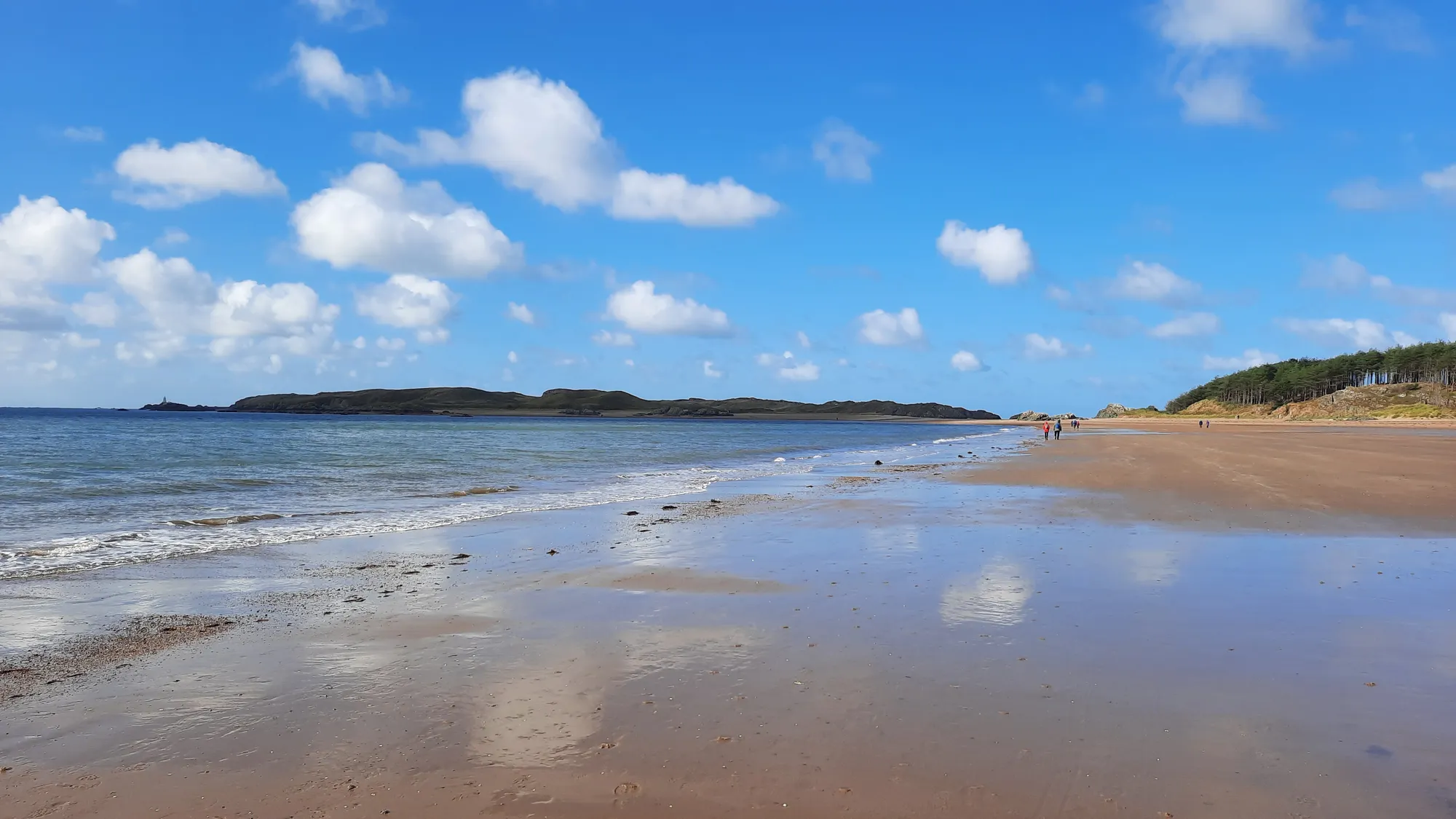
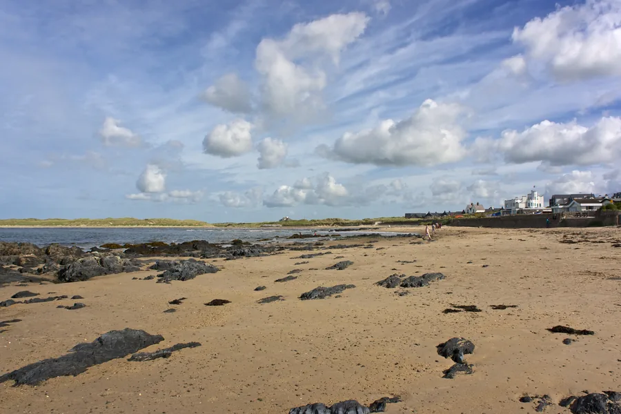
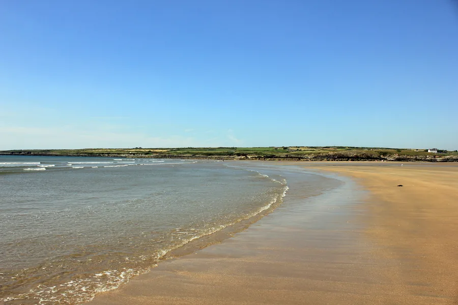
A long sweep of sand and pine forest opening toward Llanddwyn and the mountains beyond the strait.

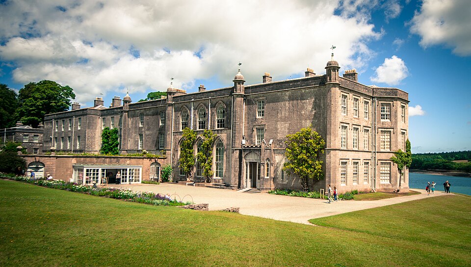
A stately house and garden looking straight across the Menai Strait toward the mountains of Eryri.

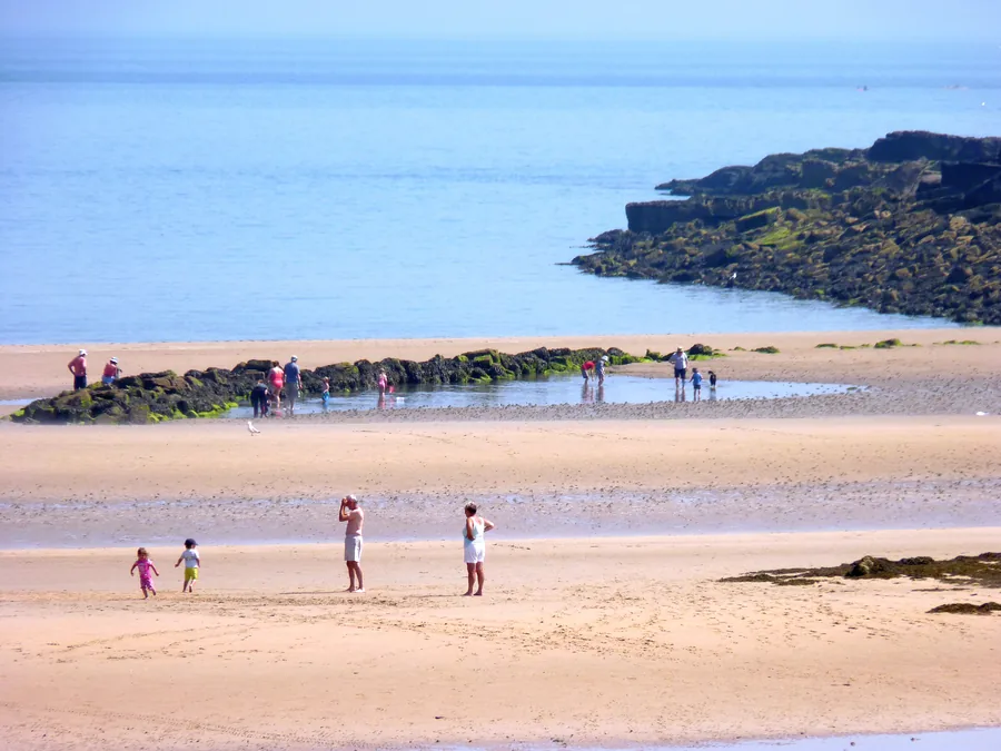
A broad east-coast beach of pale sand and low dunes, with a calmer, slower Anglesey horizon.

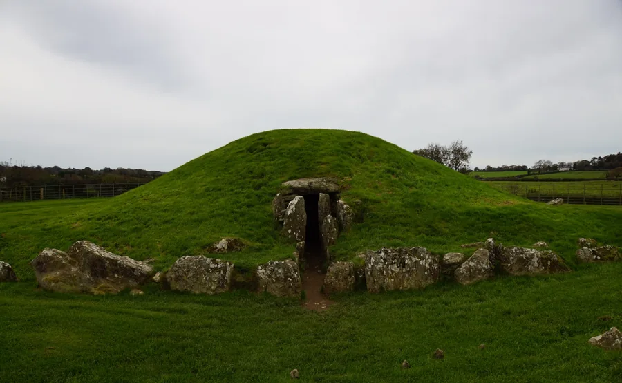
A Neolithic passage tomb near Llanddaniel Fab, built over an older henge and aligned so midsummer dawn light reaches the inner chamber.

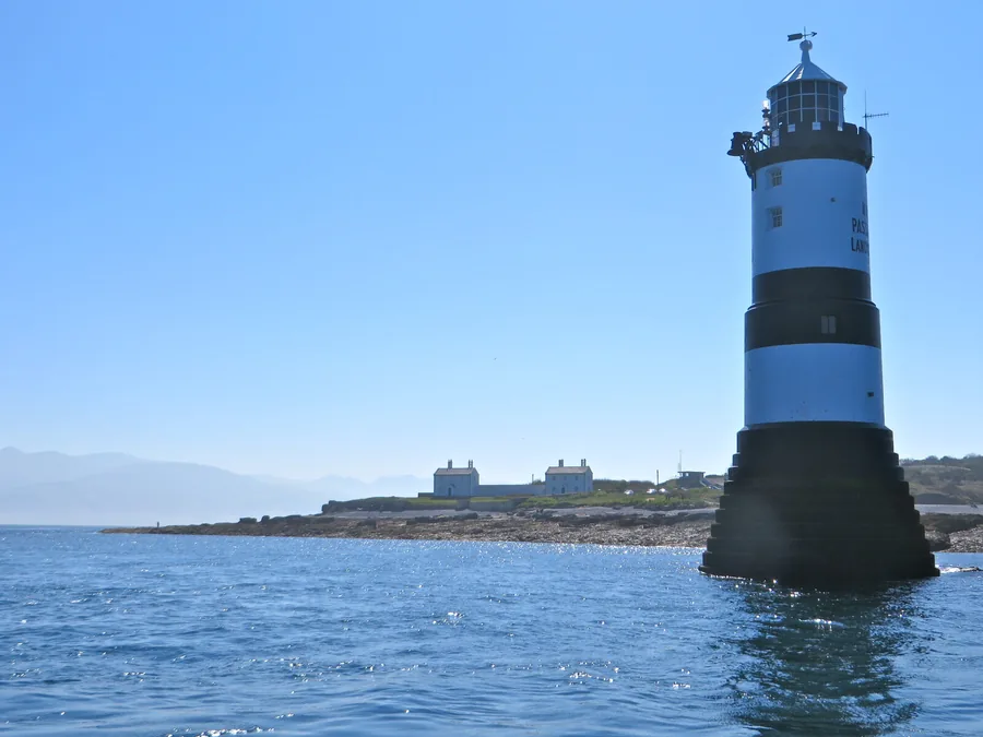
The rocky eastern tip of Anglesey, looking out to the black-and-white Trwyn Du Lighthouse offshore and Puffin Island across the sound.

A shingle-ridge lagoon on Anglesey's north coast, and Wales's only breeding colony of Sandwich terns, loud and close for a few summer months.

Three free Cadw monuments above Traeth Lligwy: a Roman-era walled village, a Neolithic burial chamber and a medieval chapel, in one short walk.

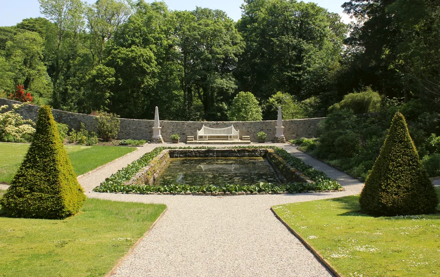
A restored garden hidden in a wooded valley near Menai Bridge: a curving walled garden, a river and three waterfalls, and woodland with a ruined folly.

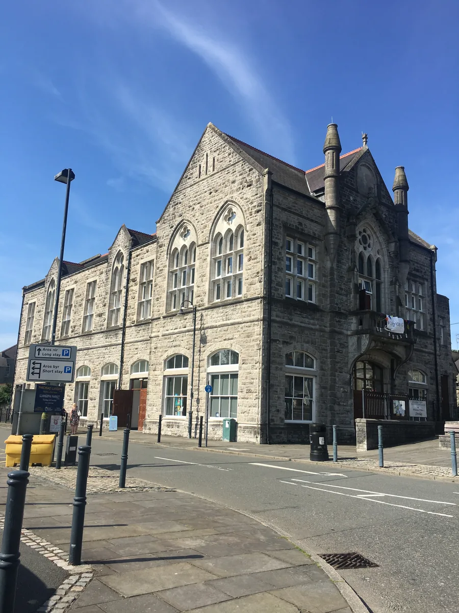
An inland market and administrative town built around a civic square, a free Kyffin Williams museum, and a wooded river valley at the edge of the streets.

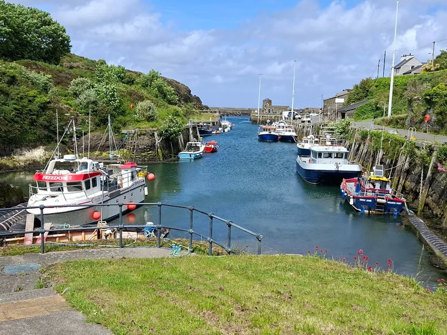
A working harbour town that once shipped the world's copper from nearby Parys Mountain, with its best-known museum currently closed and its coast path still open.

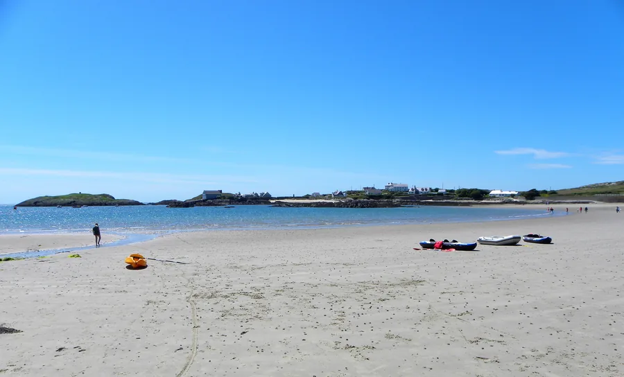
A sandy village beach on Holy Island's west coast, with a working lifeboat station, a sailing club racing since 1919, and two quieter coves around the headland.

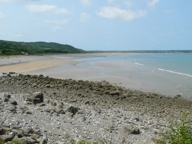
A wide tidal bay on Anglesey's east coast between Pentraeth and Benllech, its miles of sand only there to walk on part of the time: a landmark rock, a hillfort, and a Viking-age site a mile inland.

A sheltered, south-facing sandy bay at the southern tip of Holy Island, with a navigation beacon standing offshore, and a headland walk above it past two sea arches, a scheduled-monument holy well, and some of the most studied folded rock in Britain.

A quiet National Trust beach on Holy Island's west coast, between South Stack and Trearddur Bay: rock pools, a coast-path stretch, and a line of volcanic rock crossing the sand.

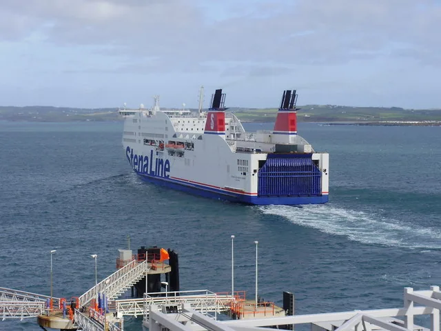
The largest town on Anglesey and the ferry gateway to Ireland: a Roman fort around a medieval church, Britain's longest breakwater, and a working harbour on Holy Island.

A walkable village between two beaches on Anglesey's south-west coast, with a request-stop station, an SSSI lake behind the dunes, and a coastal path south to a Neolithic tomb.

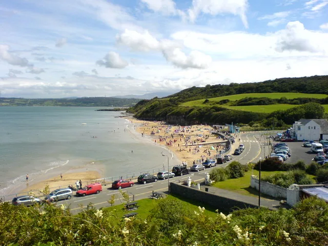
A beach village on Anglesey's east coast, between Red Wharf Bay and Moelfre: a sandy beach, a working promenade and three car parks, with an ancient hut group and a vanished Edwardian railway close by.

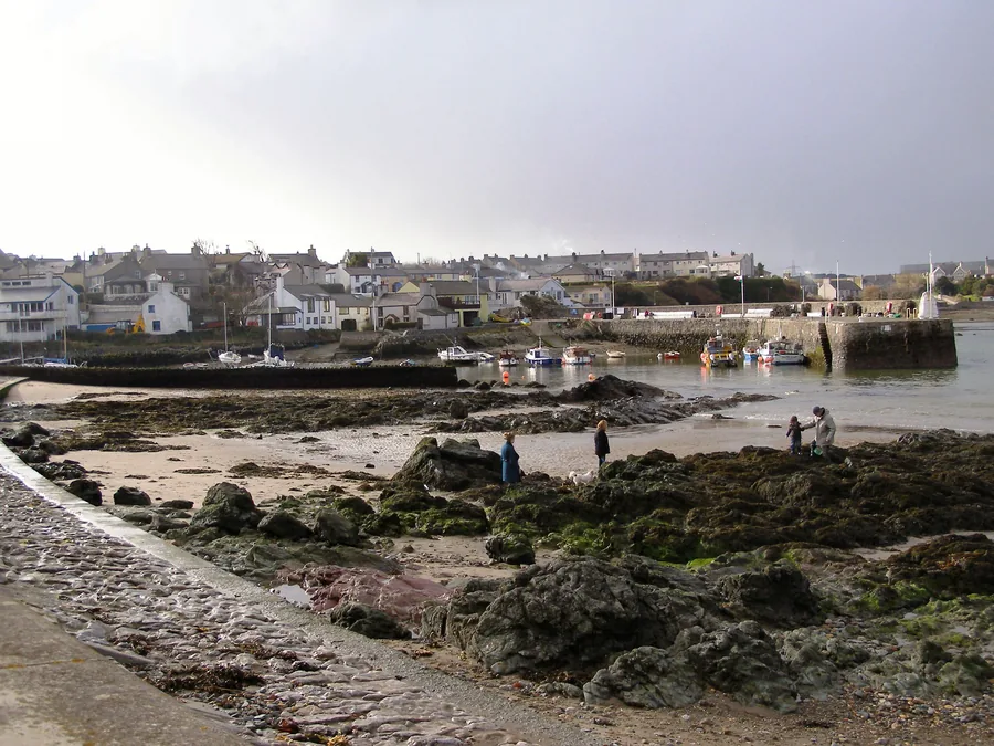
A working harbour village on Anglesey's north-east coast: a free RNLI museum, the 1859 Royal Charter story, and a headland view across to the tidal island of Ynys Moelfre.

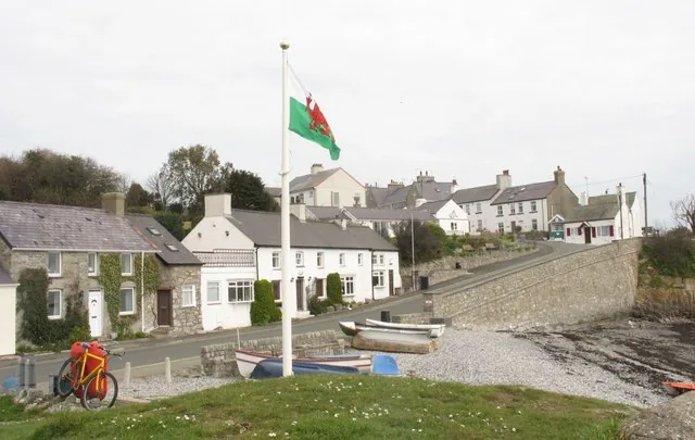
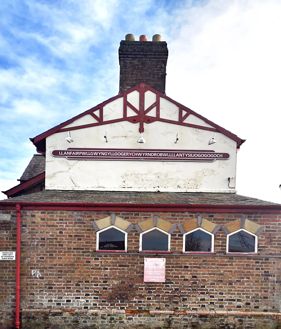
The first village on Anglesey after the Britannia Bridge, world-famous for its 58-letter station sign, and for a reopened 1817 column and the site of Britain's first Women's Institute meeting.

The most northerly village in Wales: a sheltered working harbour with a sandy beach on one side and a rocky one on the other, and the cliff-top church of Llanbadrig a mile north-east.

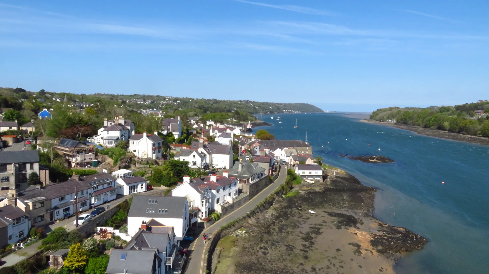
The town Telford's bridge created: a two-kilometre shoreline loop past a promenade built by First World War refugees, a tidal causeway to a medieval island church, and a pine-wood nature reserve.

A decorated Neolithic passage tomb on the headland above Porth Trecastell, and one of only two in Wales. Free and open in daylight hours, but the chamber holding the carved stones is not generally open.

The seat of the Kingdom of Gwynedd for three centuries: now a quiet village above a tidal river, with a scheduled 1731 footbridge, a wide beach and one of Britain's largest dune systems behind it.

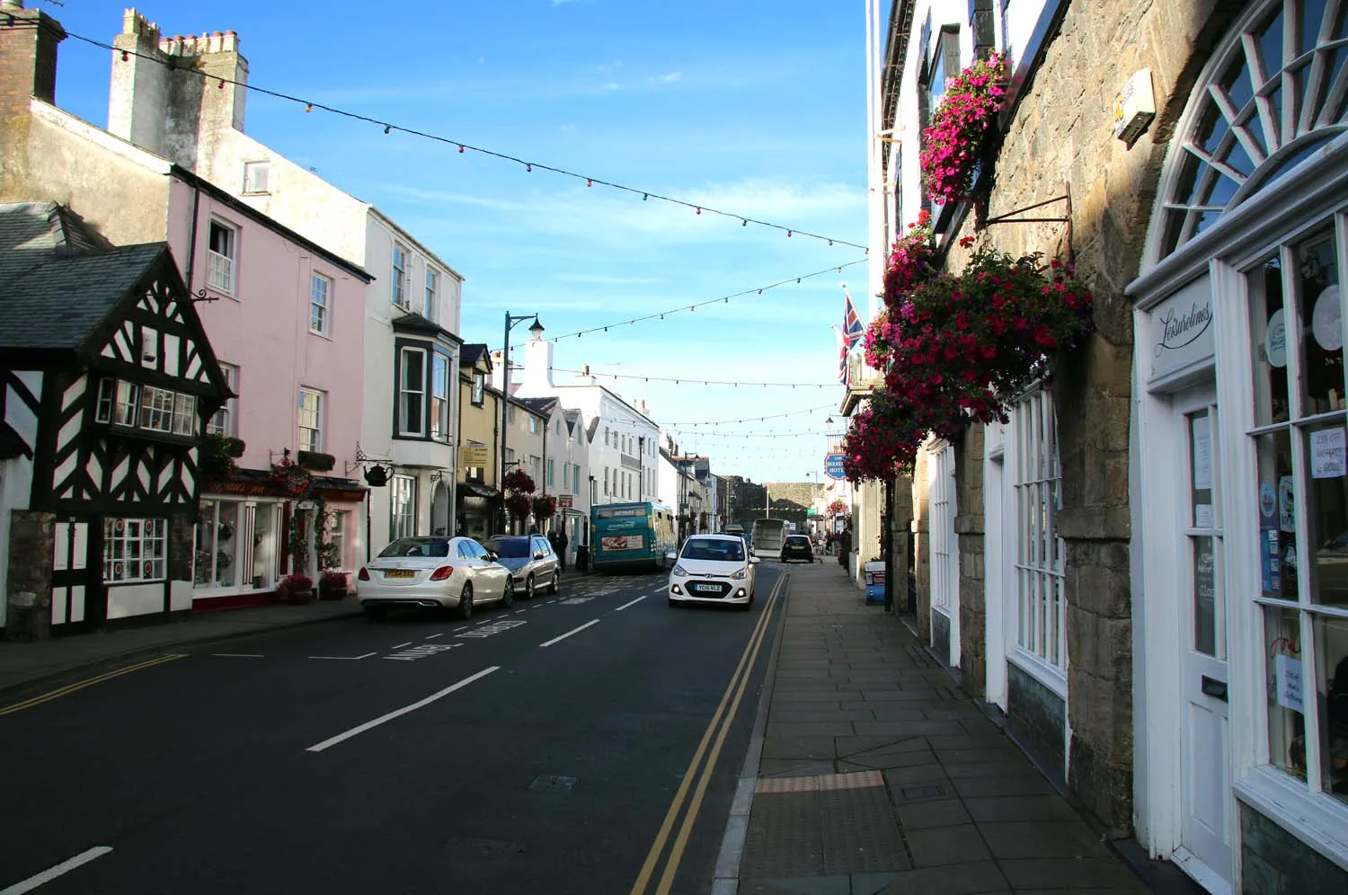
A walkable Georgian waterfront town on the Menai Strait: castle, Victorian pier, gaol and courthouse, and boat trips to Puffin Island.
A short field note. Nothing here is a substitute for checking on the day — it's just what tends to matter on Anglesey.
Check the tide before Llanddwyn and any tidal beach walk — the crossing closes on a rising sea.
Popular coast car parks fill early on clear days. Arrive in the morning, or come for the late light.
The west coast is exposed. Visibility changes everything on the cliffs — a clear hour is worth waiting for.
Two or three places is plenty for a good day. The island is better savoured than collected.
Start with one place, check the tide, and make the drive. The island is small enough to learn and large enough to keep surprising you.