The inlet the copper left from
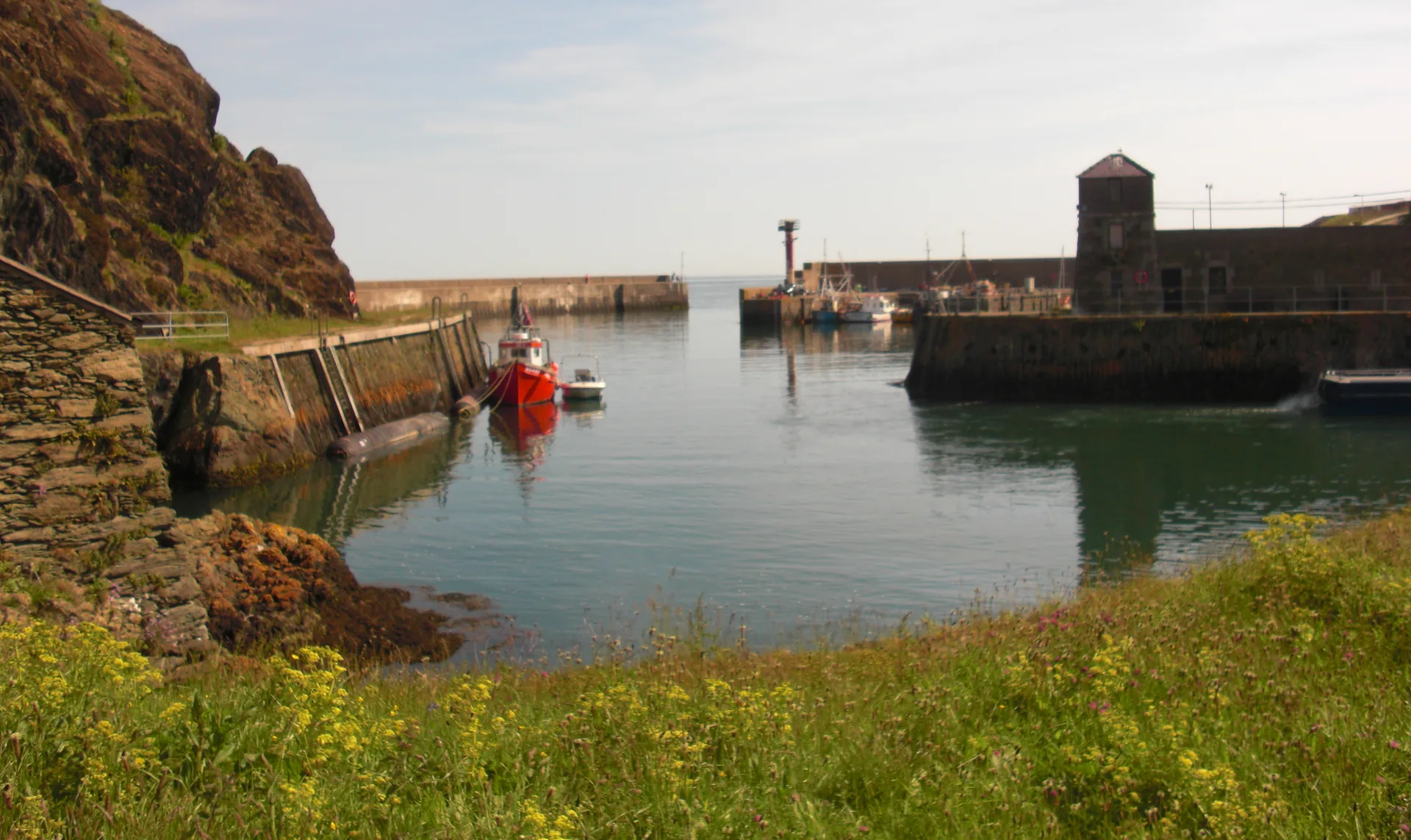
A slot in the cliff, squared off with blasted rock and still holding a working fleet two centuries later.
Isle of Anglesey · North coast
The most northerly town in Wales, and for a couple of decades the port that shipped the world’s copper. The inlet it left from is still working, ten minutes downhill from the shops.
01The town
Amlwch is two places joined by one hill. The shops, the church and the market pitch sit at the top, around Market Street and Dinorben Square. Ten minutes west along the Bull Bay road stands a concrete church shaped like an upturned hull. The harbour is the other way, about half a mile north-east and a good deal lower, down a signed walk to a narrow inlet cut into the rock.
Almost every ounce of copper taken off Parys Mountain left the island through this one inlet. The museum that told that story has been shut since 2022, so the evidence is the place itself: the blasted quay, the dry dock, the hobblers’ watch house. You read it by walking it.
Character
Around 3,150 people live here, and Amlwch is run as a town rather than presented as one: a high street, a leisure centre, a fishing fleet, and heritage that is still partly derelict.
Pace
Centre to harbour is roughly half a mile downhill, and the same climb back up. The upper town and the port are each level in themselves; the gradient is all in the stretch between them.
Landscape
Porth Amlwch is a slot in a cliff, walled and blasted square. There is no beach here. Open sea starts at the breakwater, and the coast path runs out along the cliffs from it.
Best for
Best for visitors who want the other half of the copper story, for coast-path walkers heading toward Bull Bay, and for anyone who prefers a town still doing its job to one arranged for visitors.
02Discover
A slot in the cliff, squared off with blasted rock and still holding a working fleet two centuries later.
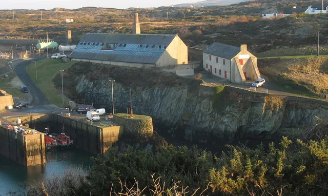
The building that told Amlwch’s copper story stands shut above the quay, waiting on a replacement that has no date.
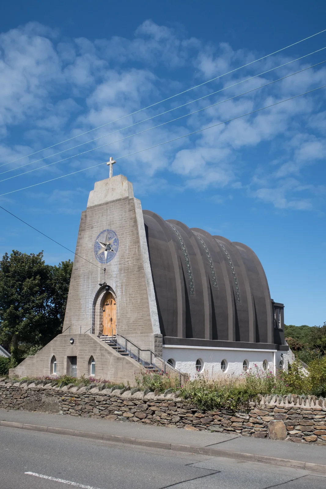
Six concrete ribs curve over a nave that looks, from the roadside, exactly like a boat turned upside down.
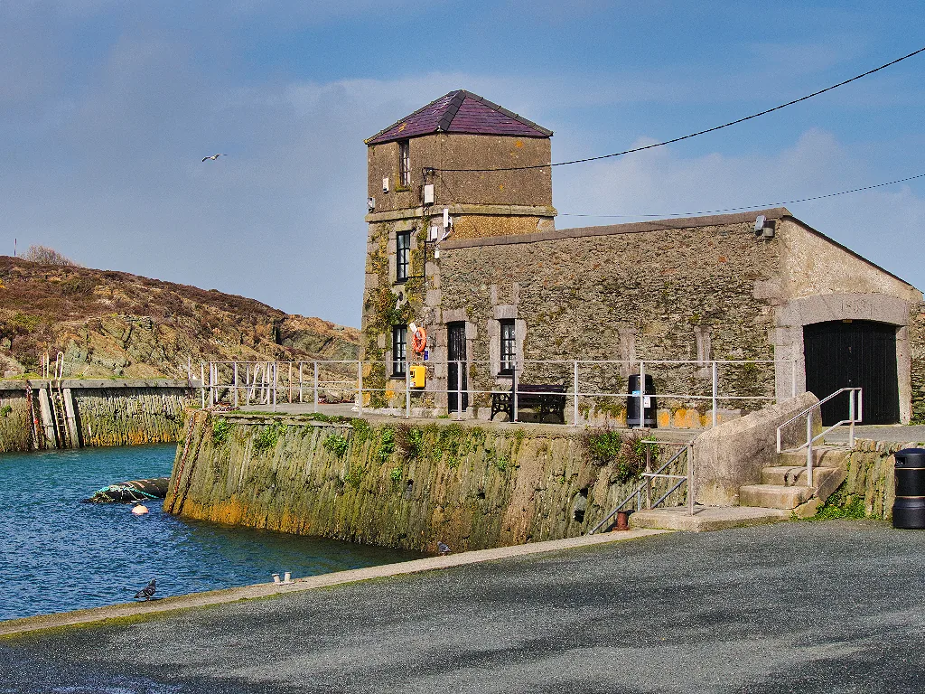
Built so the men who rowed out to guide ships in had somewhere to wait, and still the harbour’s one open door.
Beyond the first defining moments, the fuller Amlwch catalogue continues below.
Three stops at the top of the hill, and three more down at the harbour.
No verified image yet
Market Street
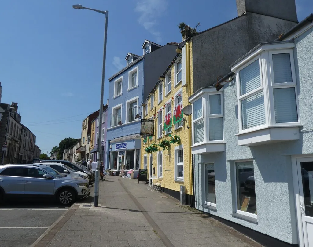
The hilltop centre. Shops and the market pitch run down Stryd y Farchnad from Dinorben Square.
Six destinations: a hilltop shopping street, two very different churches, and the three parts of the harbour: the inlet itself, the geopark centre that is open, and the museum that is not. No cafés, pubs or shops are listed here; see Local life for the town’s everyday character.
Streets
The short, steep spine the whole town still uses: painted fronts, independent shops, and the market pitch that gave the street its name.
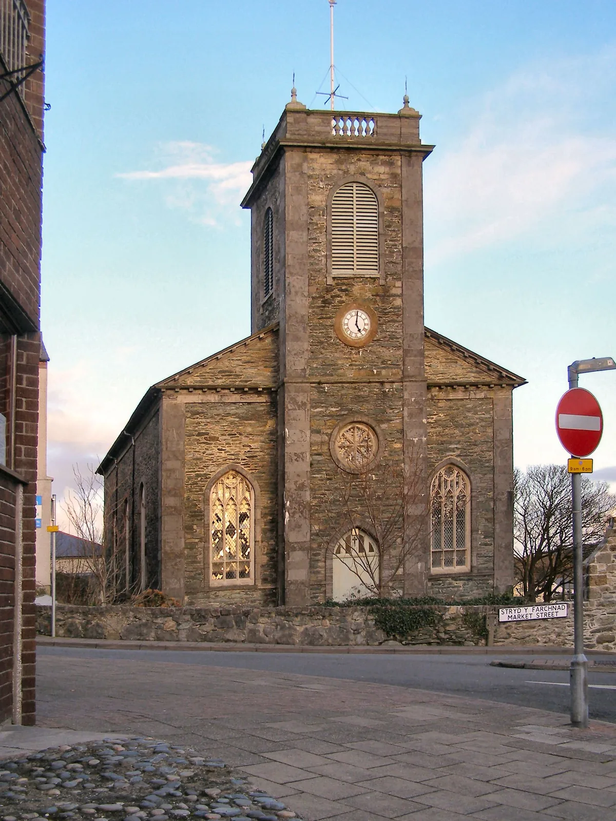
Working church
The clock tower everything in the upper town is measured from, a plain, confident church paid for out of the copper boom.
Check service times and access (opens in a new tab)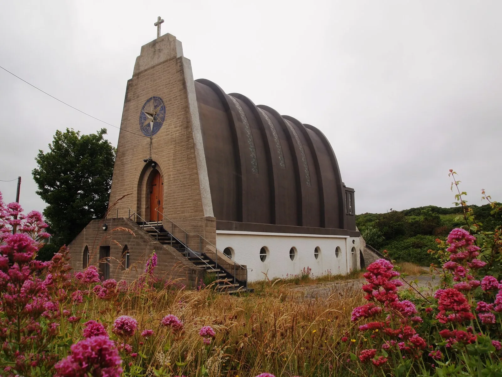
Working church
Six raw concrete ribs over a nave that reads, from the roadside, as an upturned boat. Nothing else in Wales looks like it.
Check Mass times before visiting (opens in a new tab)Working harbour
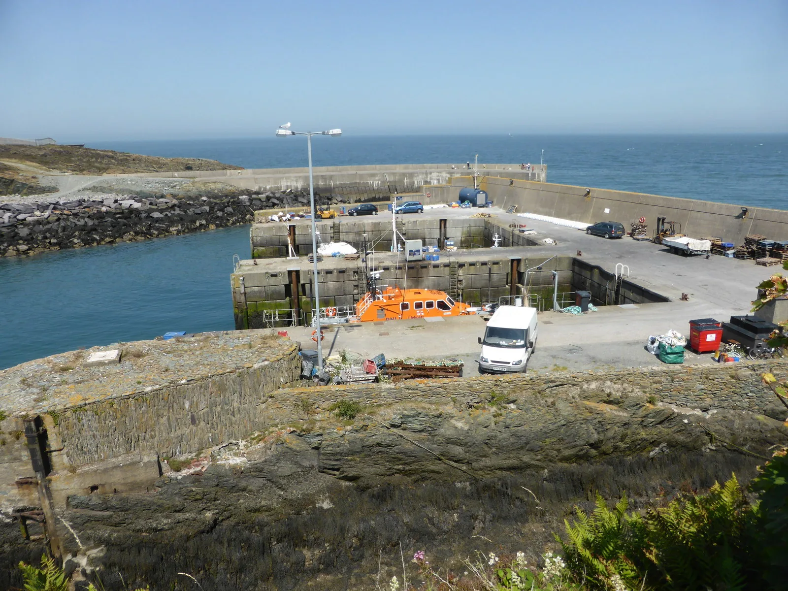
A cleft in the rock squared off by gunpowder and hand tools, still holding fishing boats, a dry dock and a lifeboat.
Volunteer hours
The one door on the quay that opens. A shelter built for the men who rowed ships in, now the geopark’s small visitor centre.
Check the centre is open before travelling (opens in a new tab)Closed · exterior only
Amlwch’s copper museum lived here until the building beat it. Worth seeing shut, because the closure is part of the story.
Check the current Copper Kingdom status (opens in a new tab)Amlwch’s two staffed places both depend on people rather than a timetable: the geopark centre on volunteers, the old museum on funding it does not yet have. Check both before you build a day around them.
GeoMôn · visiting the geopark centre03Story
A description from 1748 calls Porth Amlwch “a cove between two steep rocks.” Within one generation it was handling more shipping than Swansea. Everything since has been the town looking for what to do next.
Before the copper, this was a fishing inlet with a hamlet above it. The Town Council’s own history quotes that description from 1748; the geography that made the harbour possible was already here, undeveloped.
Local histories date the great strike at Parys Mountain to March 1768. The hamlet became a boomtown; by the town’s own account its population reached something near ten thousand, briefly making it the second largest town in Wales. That figure comes from local history rather than an official record, and is worth holding lightly.
In 1792 the Town Council records 327 ships through the harbour, more traffic than Swansea took that year. An Act of Parliament the following year funded enlargement: roughly twenty thousand tons of rock blasted out to make a quay floor four hundred feet long. A pier and a harbour light followed in the years after 1816; sources give the light as 1817 or 1819.
The mines were effectively finished by around 1811, so Amlwch built ships instead. The trade grew again when the railway arrived in 1864 and had faded by 1912. The dry dock cut into the west side of the inlet is what survives of it.
A bromine-extraction plant drew chemicals out of seawater here from 1953 to 2004, and an oil terminal took large tankers from the 1970s until 1990. Both are gone. The passenger railway closed in 1964. What is left working is the fishing fleet, and a geopark centre run by volunteers.
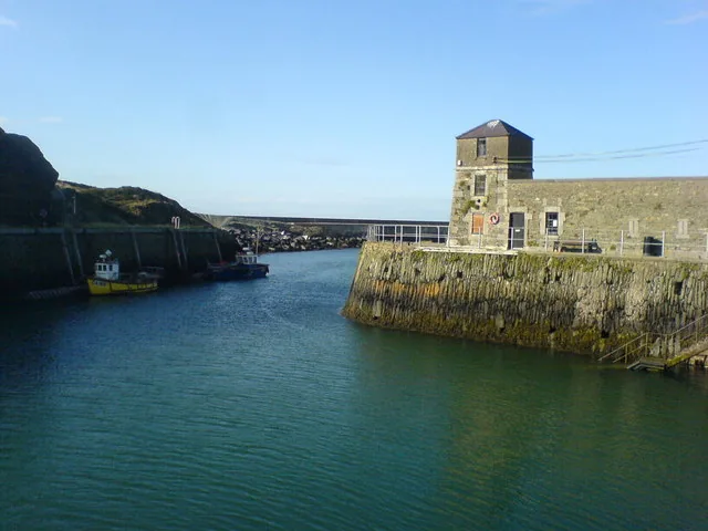
Twenty thousand tons of rock were blasted out of this cleft to make room for the ships. The shape of the harbour is the shape of that decision.
Atlas of Wales
Amlwch runs its ordinary life at the top of the hill: shops, the church, the leisure centre, the schools. Porth Amlwch, down at the water, keeps its own terraces, its own chapels and its own square.
Visitors mostly arrive for the harbour and the copper story. The people using the benches by the quay on a weekday afternoon generally live here.
The quay is a working one. Give the boats, ropes and slipways room, and keep clear of the dry dock edges.
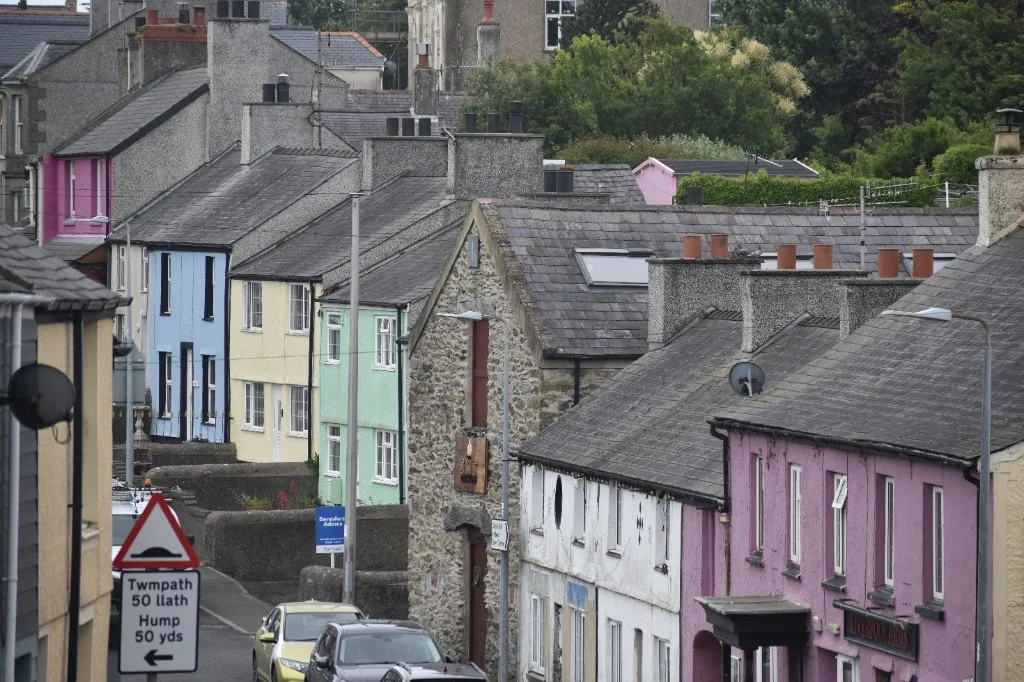
Painted rows step down the slope toward the water on streets named for what used to happen on them. This is housing, not a heritage set: lived in, patched, and repainted.
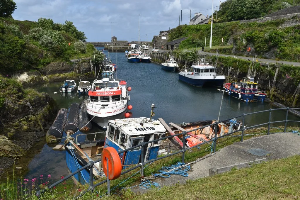
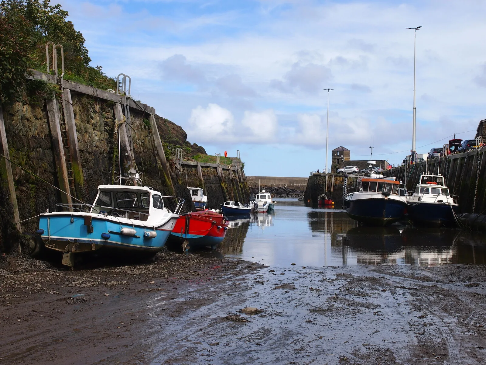
Boats, gear, rope and lifting tackle occupy both walls of the inlet. The harbour was built for ore and has outlasted every industry it was built for.
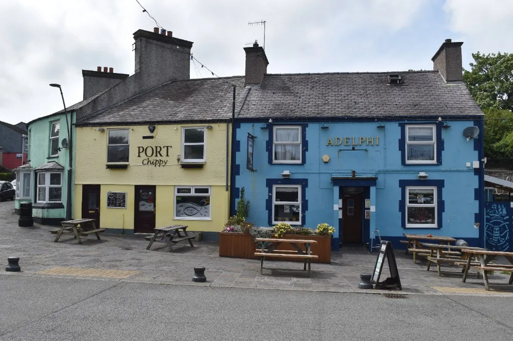
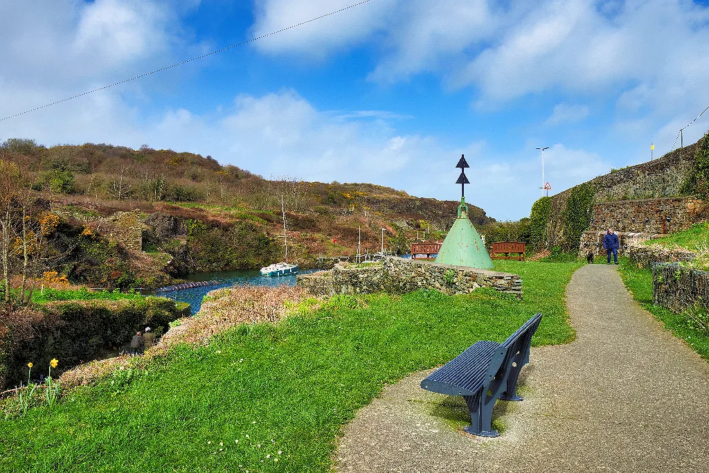
Porth Amlwch keeps a small square of its own a short walk back from the quay, with benches and planters. It is where the port sits down, separate from the town above.
Two halves, one town
The upper town was built to serve the people living in it, and the port was built to get copper out. Neither was designed to be looked at, and the town reads properly only when you have seen both.
Plan your time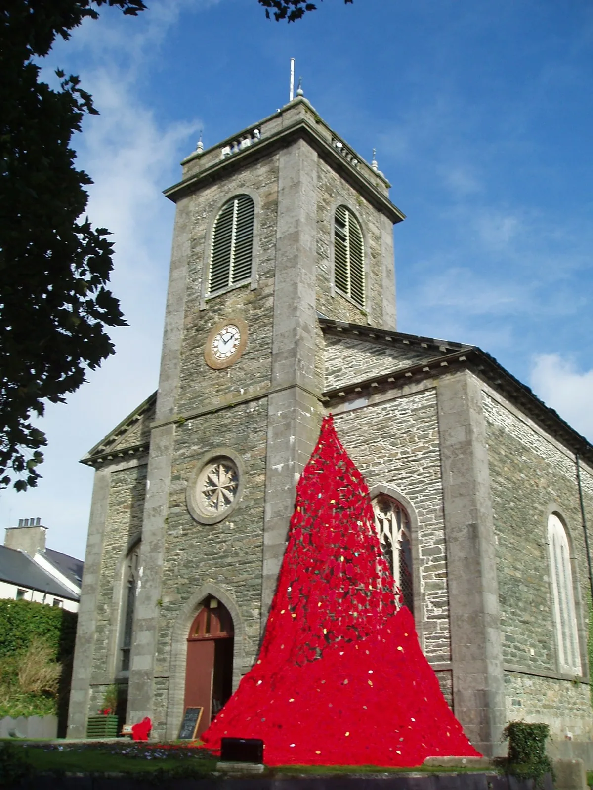
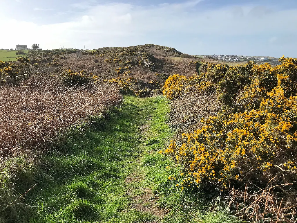
The hobblers rowed out to meet incoming ships. The Watch House was built so they had somewhere to wait for one.
Atlas of Wales
04Plan
Four council car parks serve the town; tariffs are on the boards.
The clock tower above Dinorben Square, and the churchyard around it.
Down Market Street, past the shopfronts and the market pitch.
Ten minutes west along the Bull Bay road, for the concrete hull.
The church, the square, and the shops along Market Street.
Downhill and signed, north-east out of the centre.
The quay, the dry dock, and the breakwater at the seaward end.
The geopark centre, if the volunteers are in that day.
Shut since 2022, and the closure is part of what you came to see.
St Eleth’s in the centre, then the concrete hull on the Bull Bay road.
Something to eat around the port square before the quay.
Quay, dry dock, Watch House, Sail Loft, then out to the breakwater.
The Wales Coast Path along the cliffs; about forty-five minutes.
The inlet looks like a different place empty than it does full.
Practical
Everything you need for arriving and getting around.
Getting here
The A5025 coast road runs through the town from both directions. Seven council car parks serve Amlwch, four pay-and-display and three free, and there is a further pay-and-display down at Porth Amlwch.
Isle of Anglesey car parksRoute 61 links Amlwch with Holyhead via Cemaes; route 62 runs between Bangor and Cemaes Bay through the town. There is no passenger railway; the line closed in 1964. Check the current service before travelling.
Traveline Cymru timetablesPractical details
Eight car parks between the town centre, Porth Amlwch and the western edge: seven council ones, plus pay-and-display at the harbour itself.
Check the IACC car parks listingCharges and restrictions can change. Check the signs when you arrive.
Amlwch Library
Town centre · by the library
Google Maps (opens in a new tab)Noddfa
Town centre · beside Market Street
Google Maps (opens in a new tab)Bull Bay Road
West of the centre · Bull Bay Road
Google Maps (opens in a new tab)Salem Street
South of the church · Salem Street
Google Maps (opens in a new tab)Lon Goch
East of the church · Lon Goch
Google Maps (opens in a new tab)Porth Amlwch
Porth Amlwch · at the harbour
Google Maps (opens in a new tab)Llam Carw
Above Porth Amlwch · harbour side
Google Maps (opens in a new tab)Pengarnedd
North-west edge of the town
Google Maps (opens in a new tab)One council public toilet, at Lôn Goch in the town centre.
Check the IACC public toilets listingLôn Goch, LL68 9EQ · in the upper town, not at the harbour
Check the council listing for current opening times.
The harbour, the streets and the coast path are open at all times. The two indoor places are not dependable.
Do not build a day around the Copper Kingdom museum. It has been closed since late 2022, and the proposed replacement centre, at Parys Mountain, has no announced opening date.
Check the current Copper Kingdom statusOpen, but entirely volunteer-staffed, so hours depend on availability. Contact the centre before a special trip
Closed since late 2022. Exterior view only; no reopening date published
The town centre and the harbourside are each reasonably level, but the descent between them is a real hill.
Per-site accessibility at the churches, the geopark centre and the toilets is not independently confirmed. Check before visiting if this matters to you.
Driving between the centre and the port avoids the hill entirely
A working harbour with unfenced edges, slipways and a dry dock, not a promenade
Amlwch’s waterfront is a working harbour, not a bathing beach, so no seasonal beach dog ban applies here.
No town-centre or harbour dog control order was found in the sources checked, which is not the same as confirming there is none. Treat the quay as working ground and keep dogs close.
The coast path east toward Bull Bay runs along unfenced cliff top, the one stretch of this visit where a lead genuinely matters.
The centre and the port each have their own parking, so you can walk the whole visit or drive the one leg between them.
Use Amlwch as a base
Four real Atlas destinations pair with an Amlwch visit. Distances are straight-line from the town centre, not driving times.

The copper-mined hill that made this town: a stripped, coloured landscape where the ore came out of the ground before it came down to the quay.
About 1.6 miles south (straight-line)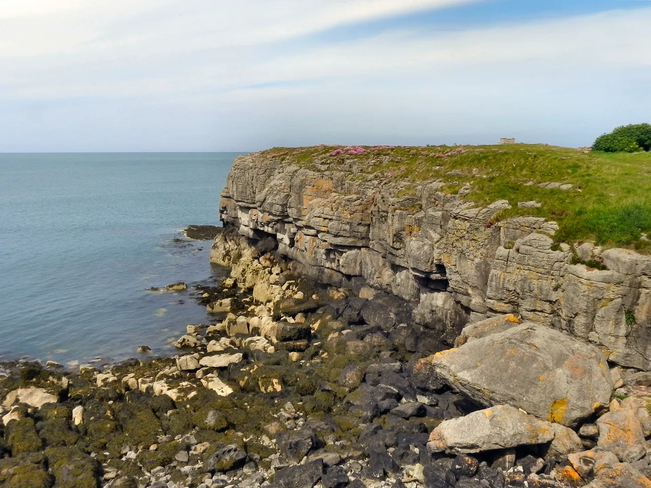
A broad east-coast beach with pale sand and low dunes: the sand Amlwch itself does not have, a short drive down the coast.
About 4.2 miles south-east (straight-line)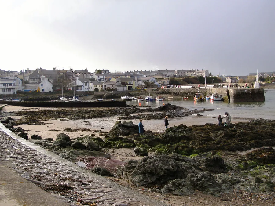
The other north-coast harbour, four and a half miles west: the same working shape as Amlwch, but with a beach on either side of it.
About 4.4 miles west (straight-line)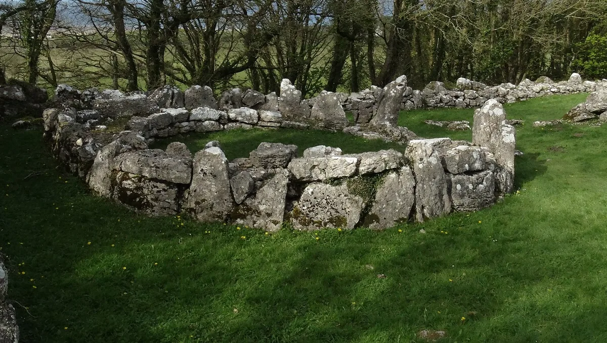
A remarkably complete late-Roman-era stone settlement above Moelfre, with a burial chamber and a ruined chapel within the same short walk.
About 5.4 miles south-east (straight-line)Before you go
Walk down from the church and the whole boom-and-after fits into one narrow inlet.