The fort around the church
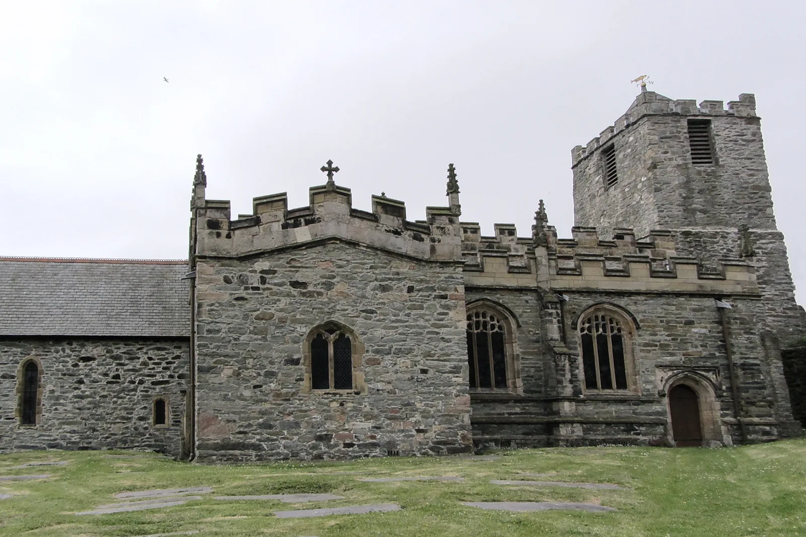
A medieval church standing inside the walls of a late-Roman fort, three of its four sides still up.
Isle of Anglesey · Holy Island
The largest town on Anglesey and the sea gateway to Ireland, walkable from a Roman fort to Britain’s longest breakwater.
01The town
Holyhead sits on Holy Island, and the town reads as one line along the water. The Roman fort and its church anchor the historic end, the centre lies just inland of the harbour, and the Celtic Gateway footbridge crosses from it straight to the station and the ferry terminal. From there the waterfront runs north-west past Newry Beach to the breakwater.
Everything in Holyhead was built to reach somewhere else: the Roman naval fort, Telford’s road, the railway, the breakwater, the ferry. Every layer of that is still visible, and most of it is still working.
Character
About 12,000 people live here, and the harbour still sets the rhythm: ferries and freight rather than deckchairs. The interest is the coming and going, not anything arranged for visitors.
Pace
The fort, the centre and the harbour make a level loop of about an hour and a half. The breakwater is the long option, 1.7 miles of Victorian stone out over open water, and the same back.
Landscape
Holy Island lies off Anglesey’s west coast, with Holyhead Mountain rising behind the town and the Irish Sea beyond the breakwater. The whole island sits within the GeoMôn UNESCO Geopark.
Best for
Best for maritime and heritage interest, foot passengers with time before a sailing, and walkers heading on to the mountain and cliffs.
02Discover
A medieval church standing inside the walls of a late-Roman fort, three of its four sides still up.
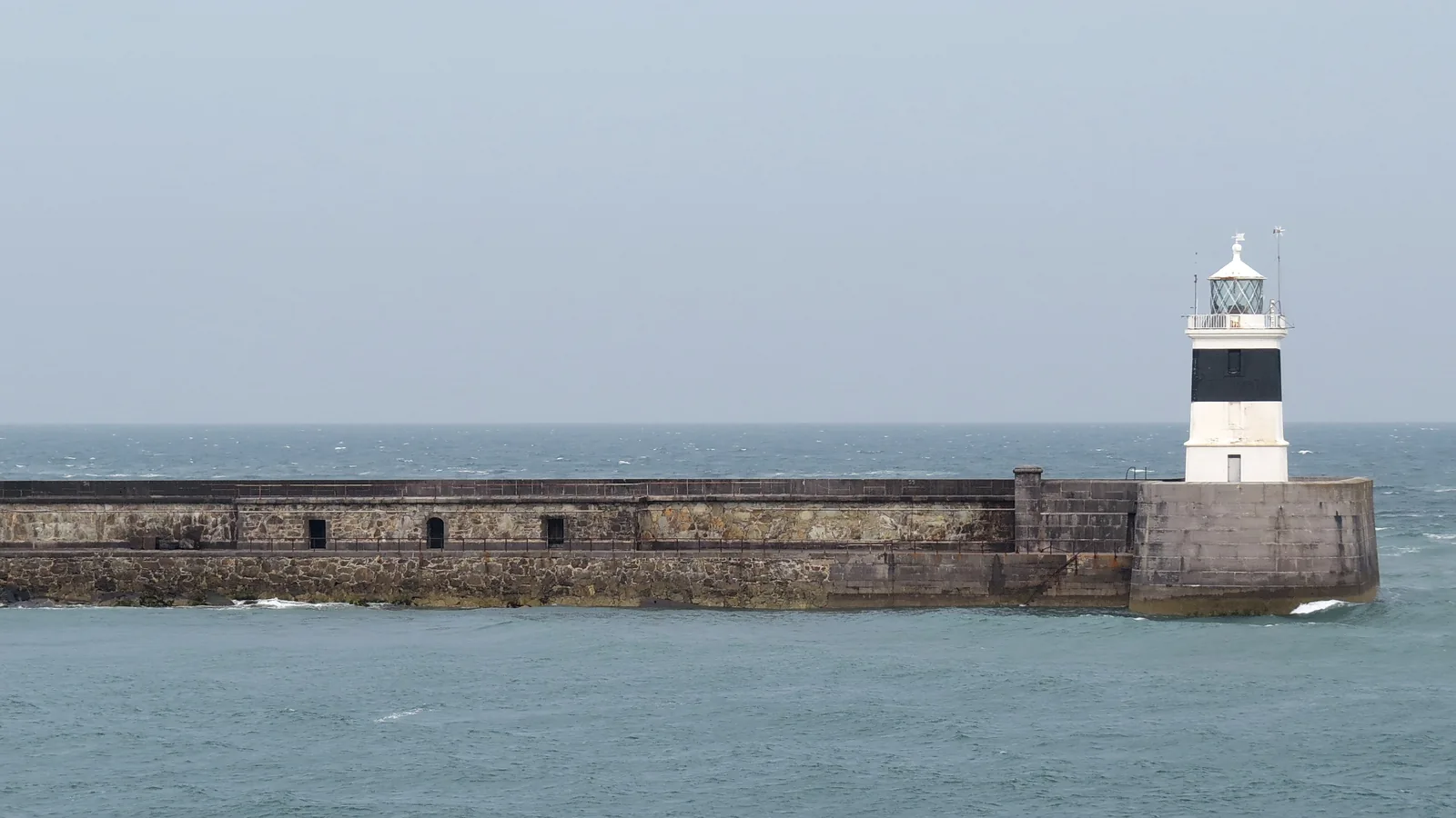
Nearly three kilometres of Victorian stone reaching out to a lighthouse, and a long walk over open sea.
A sheltered waterfront with a boatyard and a small museum in what is said to be Wales’s oldest lifeboat house.
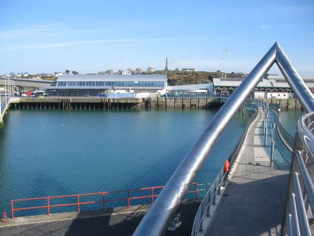
Road, rail and sea all end here, with a footbridge lifting you over the tracks to the Dublin ferries.
Beyond the first defining moments, the fuller Holyhead catalogue continues below.
A compact centre just inland of the harbour, a waterfront running north-west to the breakwater, and the Roman fort at the historic core: six stops within, or a short walk from, the town centre.
No verified image yet
St Cybi’s Church
The walled churchyard at the historic core, just above the harbour off Victoria Road.
Six sights, most within a short, flat walk of one another: a Roman fort and medieval church, Britain’s longest breakwater, a harbour beach and maritime museum, an arts centre, the town centre, and the port that gave the town its reason to exist. No restaurants, pubs or shops are listed here; see Local life for the town’s everyday character.
Heritage
The churchyard is inside a Roman fort: three walls of Caer Gybi still stand around a medieval church. Very few forts like it survive in Europe.
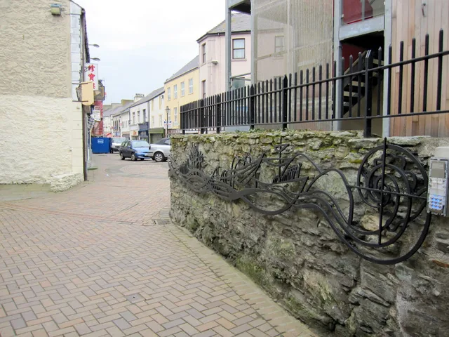
Town centre
The everyday heart of the town, and the place its emigration story is told: ‘The Journey’ sculpture stands on the square.
Transport
Road, rail and sea all stop here. Cross the Celtic Gateway footbridge to the station and the Dublin terminal and Holyhead explains itself.
Plan a journey (Traveline Cymru) (opens in a new tab)Museum, seasonal
A small museum of shipwreck and rescue, in what is said to be Wales’s oldest lifeboat house, looking out over the boatyard from Newry Beach.
Check seasonal opening (opens in a new tab)Waterfront
Walk the longest breakwater in Britain out to its lighthouse, open sea on one side and the harbour on the other. The quarry behind it is now parkland.
Check access arrangements (opens in a new tab)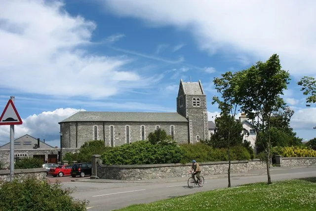
Arts venue
A former convent chapel now showing exhibitions, films and recitals, the warm indoor option when the weather comes in off the sea.
Check what is on (opens in a new tab)Museum opening times, ferry and train timetables and parking charges change, so confirm current details before you plan a day around them.
Holyhead town walk, Visit Anglesey03Story
Holyhead, or Caergybi in Welsh, grew up around a Roman naval station and never stopped being a place you pass through. Each era left the marks of getting somewhere else.
In the 3rd or 4th century the Romans built a small walled fort here, Caer Gybi, guarding the sea route and the approach to Ireland. Three of its walls still stand, up to four metres high.
By tradition St Cybi founded a monastery within the abandoned fort walls around 540. The church of St Cybi that stands there now carries his name, and much later stonework, largely 13th to 16th century.
As the mail route to Dublin grew, Holyhead became a packet port. Thomas Telford’s London–Holyhead road ended at Salt Island, marked by a triumphal arch of 1821; Captain Skinner’s obelisk remembers a packet captain of the age.
The railway reached the town, and its station, rebuilt in 1866, keeps what is believed to be Wales’s longest train shed. The breakwater, begun in 1848 and finished in 1873, took 28 years and forty lives to build.
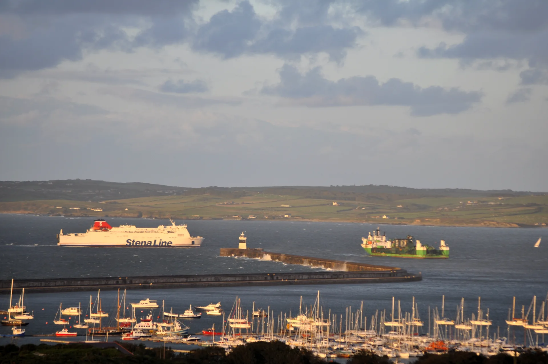
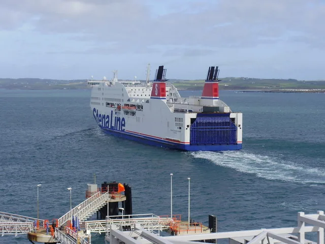
The car ferries to Dublin, run now by Stena Line and Irish Ferries, carry on the town’s one constant job. Beneath the coming and going, a working town gets on with its day.
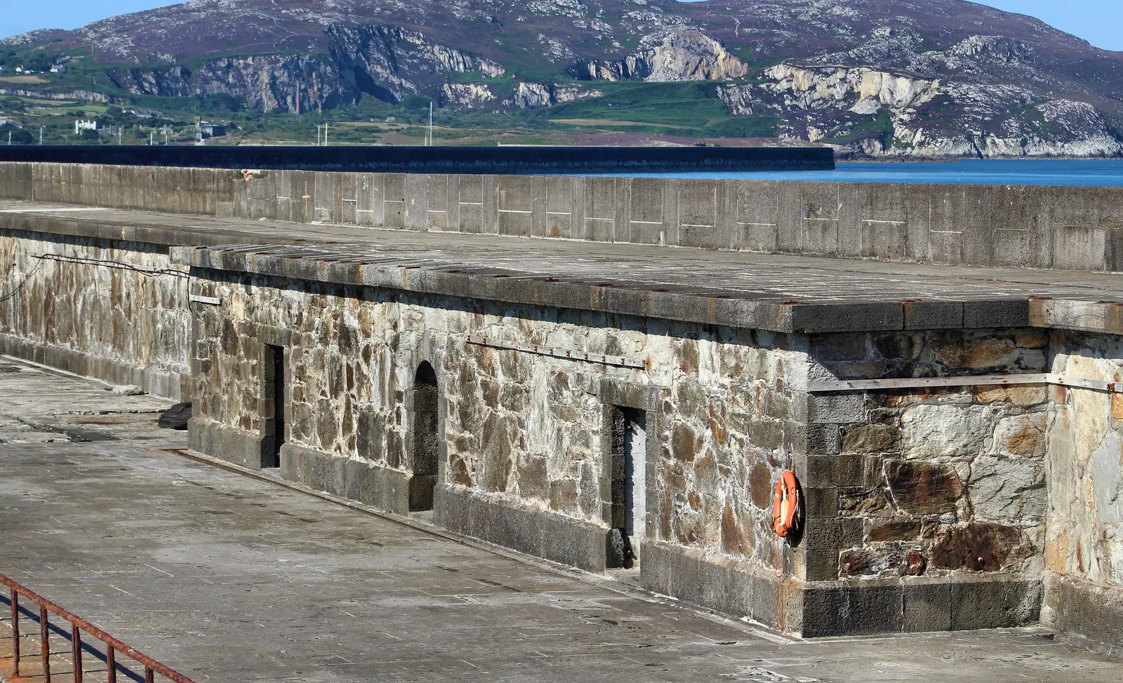
Road, rail and sea all end at Holyhead. Everything you can see was built to reach somewhere else.
Atlas of Wales
Holyhead is a real town before it is a heritage stop. Life runs along Market Square and the streets around it, down to the harbour and the boatyards at Newry Beach, and out along the coastal path to the Country Park.
Foot passengers, freight drivers and residents share the same few streets. The harbour is busiest around the sailings; away from them, the town keeps its own quieter pace.
The Celtic Gateway footbridge is the quick, level way between the town centre and the station or ferry. You don’t need to walk round by road.
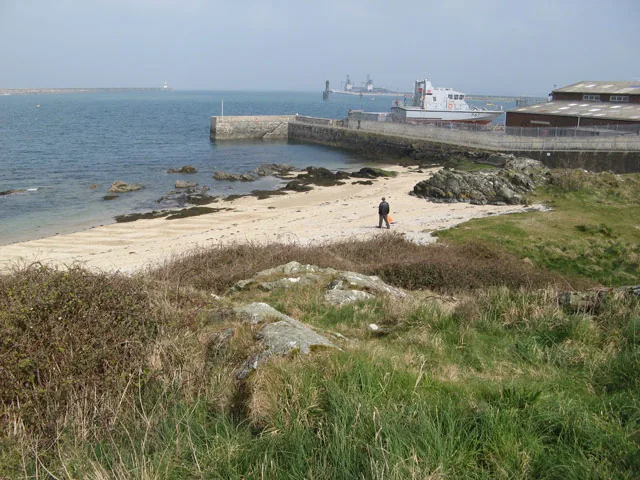
Boatyards, the marina and the ferry terminal keep Holyhead a working port. This is a harbour that earns its living, not a decorated seafront.
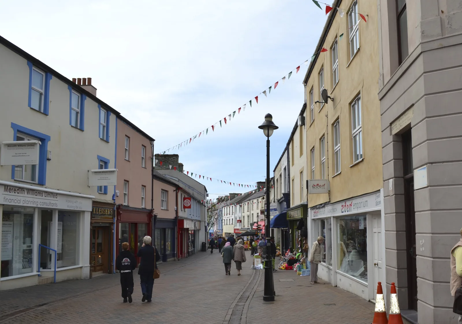
Market Square and the surrounding streets form Holyhead’s everyday centre, separate from the ferry terminal and harbour activity below.
North-west of the centre, the coastal path runs out past the marina to the breakwater and the old quarry, now a country park with sea on both sides.
The town in one walk
From the walled churchyard to the harbour, Newry Beach and the breakwater, the town joins up along one waterfront.
Plan your time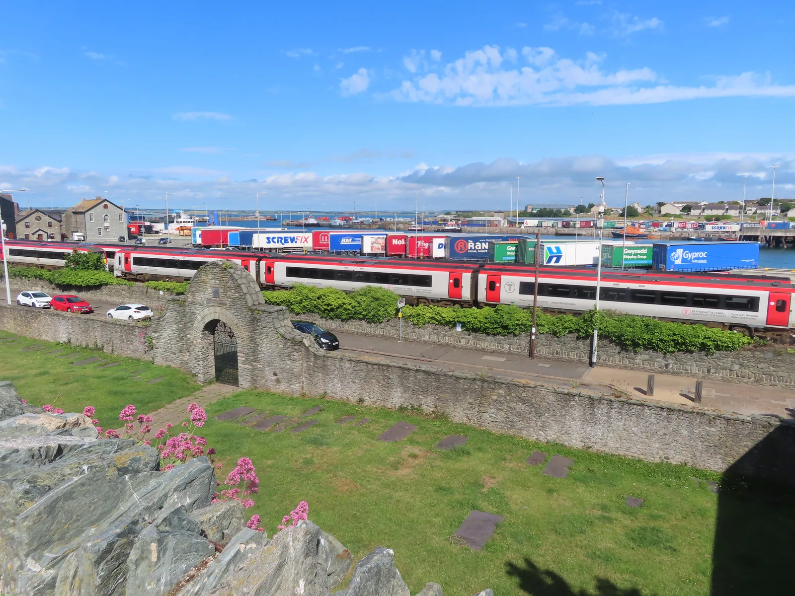
Caergybi means “Cybi’s fort”: the Roman walls the town grew up inside.
Atlas of Wales
04Plan
Cross the Celtic Gateway from the station, or start from Market Square.
The Roman walls and the medieval church, at the historic core.
Down to the water and the old harbour at Newry Beach.
Start in the town centre, by ‘The Journey’ sculpture.
The walled churchyard above the harbour.
Back through Market Street and the shopping streets, for a coffee or a look in the shops.
Along the front to the boatyard and the Maritime Museum.
Start in the centre and work down through the shopping streets.
The walled churchyard and the Roman fort at the historic core.
Along the front to the boatyard and the Maritime Museum.
Follow the coast path to Soldier’s Point and the breakwater’s lighthouse, but check conditions first.
Finish in the old quarry that supplied the breakwater stone, now a coastal park.
Practical
Everything you need for arriving and getting around.
Getting here
The A55 runs the length of North Wales and ends at Holyhead port. Fifteen car parks serve the town centre, the port and the waterfront, a mix of pay-and-display and free.
Open the town-centre car parks in MapsHolyhead is the western terminus of the North Wales line: Transport for Wales along the coast, Avanti West Coast to London Euston. The Celtic Gateway footbridge links the station to the town centre.
Route 4 timetableStena Line and Irish Ferries sail to and from Dublin; foot passengers step off into the terminal beside the station. Sailings and fares change, so check before you travel.
Check sailingsPractical details
Fifteen car parks across the town centre, the port and the waterfront, a mix of pay-and-display and free, out as far as the country park at the breakwater.
Check the IACC car parks listingCharges and restrictions can change. Check the signs when you arrive.
Trearddur Square
Town centre · north of Market Square
Google Maps (opens in a new tab)Lower Hill Street
Town centre · beside Market Square
Google Maps (opens in a new tab)Upper Hill Street
Town centre · above Market Square
Google Maps (opens in a new tab)Victoria Road
East of Market Square · near the port
Google Maps (opens in a new tab)Swift Square
By St Cybi's Church
Google Maps (opens in a new tab)Church House
North-east of St Cybi's
Google Maps (opens in a new tab)Stanley Crescent
North-east of the centre
Google Maps (opens in a new tab)Mount Pleasant
By the port · south of the centre
Google Maps (opens in a new tab)Holyhead Library
North of St Cybi's · by the library
Google Maps (opens in a new tab)Short Stay, Turkey Shore Road
By the port · short stay
Google Maps (opens in a new tab)Marine Square
Between the town and Newry Beach
Google Maps (opens in a new tab)Newry Beach
Newry Beach · by the Maritime Museum
Google Maps (opens in a new tab)Breakwater Country Park
Breakwater Country Park · for the breakwater
Google Maps (opens in a new tab)Mill Bank
By the Ucheldre Centre
Google Maps (opens in a new tab)Hedsor Street
South-east of the port
Google Maps (opens in a new tab)The centre is compact and walkable; the Celtic Gateway footbridge links it to the station and ferry. The breakwater is a longer, exposed walk north-west along the coast path.
The port terminal is a working operation. Follow signage; it is not a sightseeing area.
Level throughout, apart from the older streets and the churchyard
Celtic Gateway footbridge · centre to station and ferry, step-free
The waterfront and the Celtic Gateway are largely level. The older streets and the churchyard have steps and uneven ground; the breakwater is long and exposed.
Access at the museum, the church and the toilets is not documented. Check directly before visiting if this matters to you.
Largely level
Steps, uneven surfaces and exposure · Not confirmed per site
Foot passengers off the ferry are already in the town: the Celtic Gateway lands you beside the centre without touching a road.
Use Holyhead as a base
Four real Atlas destinations pair with a Holyhead visit. Distances are straight-line from the town centre, not driving times.
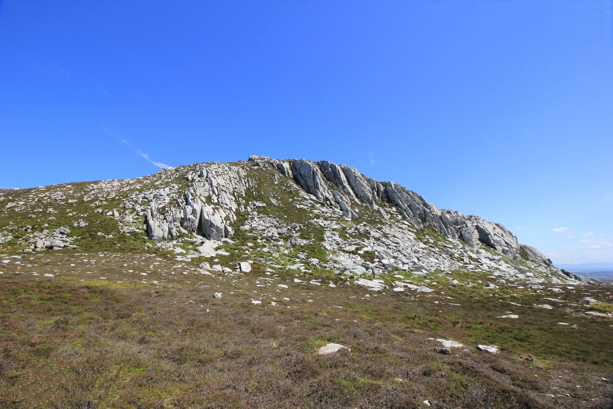
The heathered summit above the town, with a prehistoric hillfort, ancient hut circles and open sea on both sides, the high ground the breakwater stone was quarried from.
About 1.8 miles west (straight-line)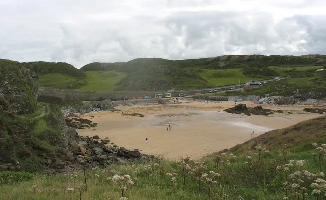
A quiet National Trust beach on Holy Island’s west coast, between South Stack and Trearddur Bay.
About 1.8 miles south-west (straight-line)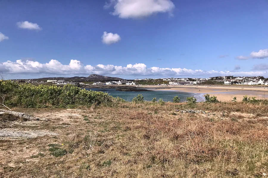
A sheltered sandy bay just south on Holy Island, with quiet coves and clear water: the seaside day the port town isn’t.
About 2.1 miles south (straight-line)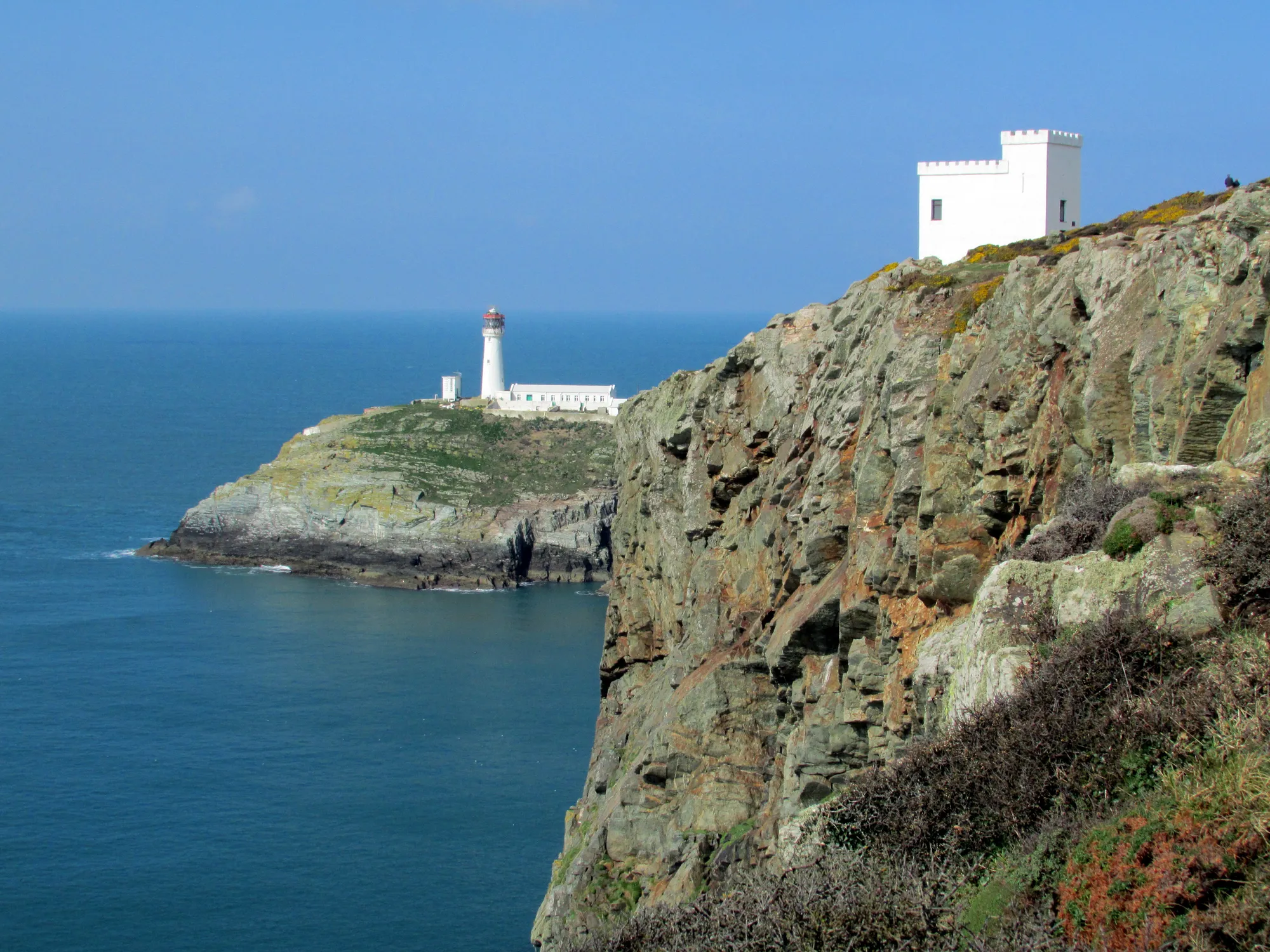
Holy Island’s far west edge: a lighthouse on its own rock below cliffs loud with seabirds, reached down 400 steps. The wild counterpart to the working town.
About 2.8 miles west (straight-line)Before you go
Between the Roman walls and the far end of the breakwater, Holyhead lays its whole working history along one waterfront.