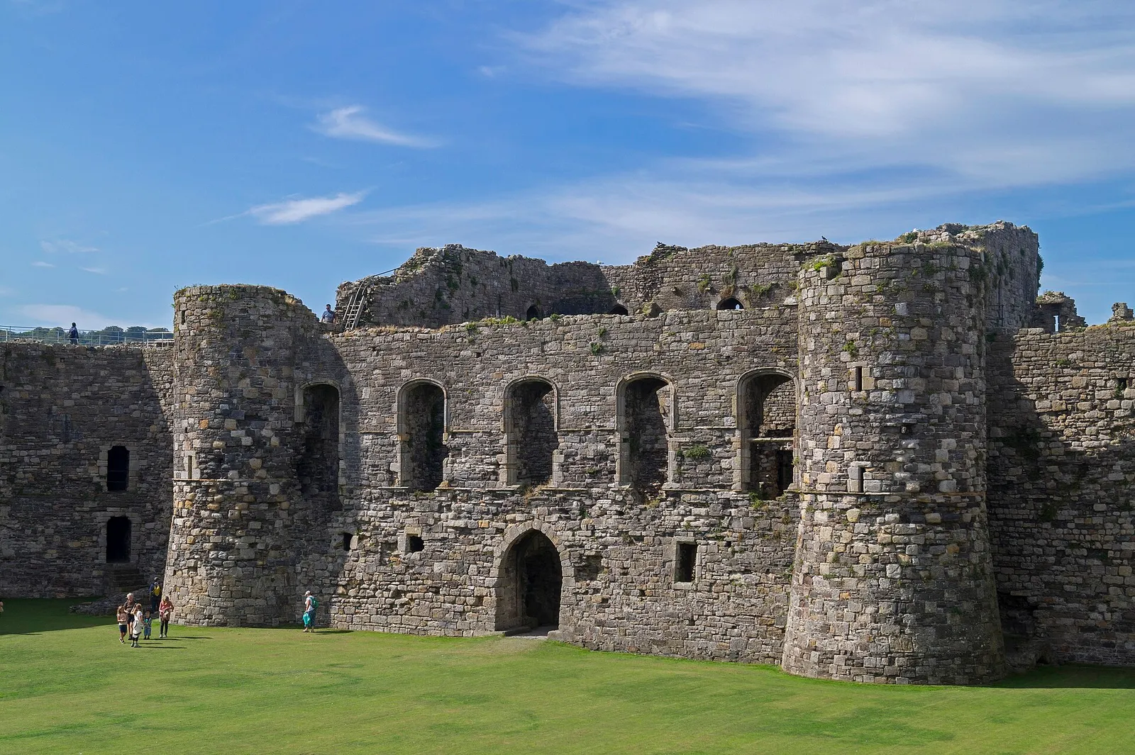
The castle edge
A castle moated on three sides, with the whole town laid out around it from the start.
Isle of Anglesey · Menai Strait
A moated castle at one edge, a Victorian pier at the other, and Georgian streets in between, all of it flat, and all of it walkable in an afternoon.
01The town
Beaumaris runs along the shore of the Menai Strait in one flat line. The castle sits at the eastern edge of the town, Castle Street leads away from it through the centre, and the Green opens onto the waterfront with the pier reaching out from it. Everything in this guide lies on that one axis.
The castle draws people, but it is the smallest part of what Beaumaris kept. A 1614 courthouse and an 1829 gaol still stand as museums a few streets away, and the pier and the Green finish the same short walk. The castle is one stop of several here, not the whole reason to come.
Character
Beaumaris is lived in year-round, with independent shops, cafés, homes and public spaces mixed through the visitor town.
Pace
There is no hill in Beaumaris. Park once and the whole visit is on foot; the only real decision is how long you spend inside the gaol and the courthouse.
Landscape
The waterfront opens straight across the Strait to the mountains of Eryri, with the tide running hard through the channel below the pier.
Best for
Best for anyone who wants several genuinely different historic buildings in one visit, and for a half-day on Anglesey that faces the mountains rather than the open sea.
02Discover
A castle moated on three sides, with the whole town laid out around it from the start.
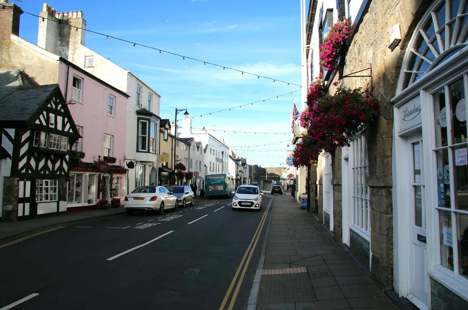
Georgian fronts, independent shops and a timber-framed inn along the working spine of the town.
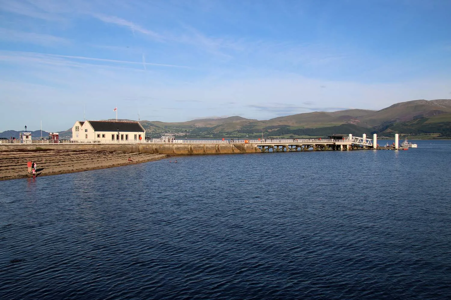
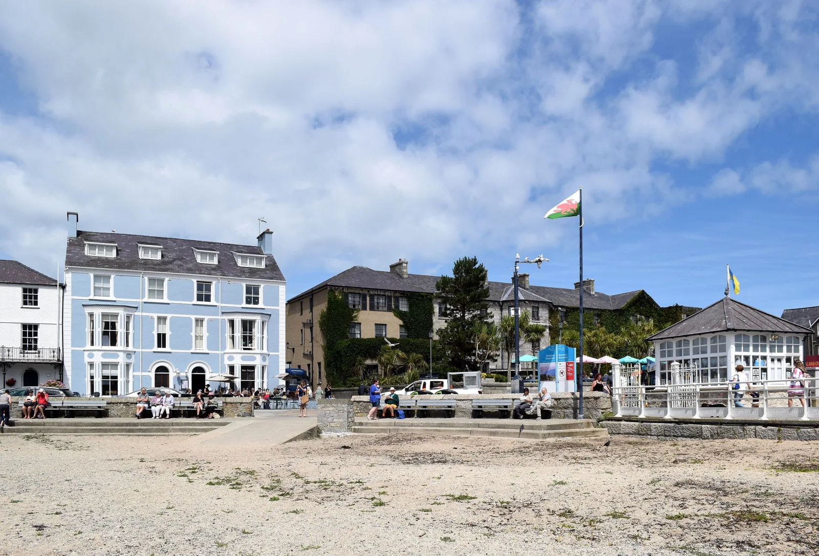
A rebuilt Victorian pier running out over the water with Eryri stacked on the far shore.
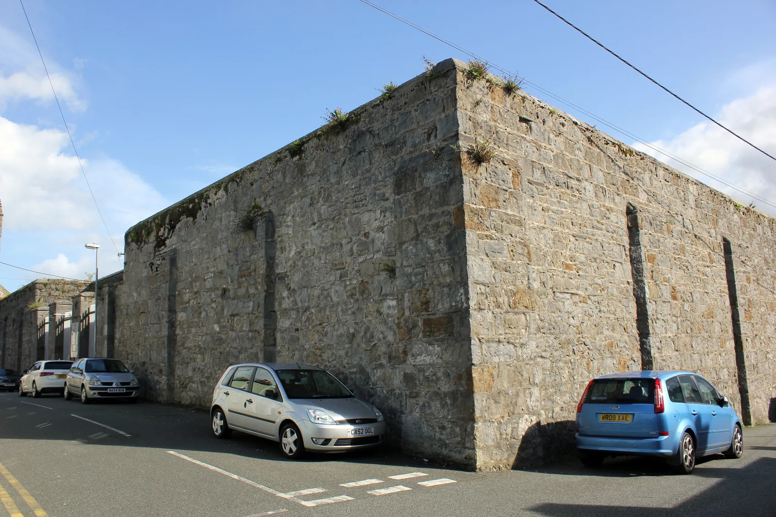
A gaol that closed after barely fifty years and so was never modernised, treadmill still in place.
Beyond the first defining moments, the fuller Beaumaris catalogue continues below.
A small town shaped by its castle, its main street and its waterfront: seven stops, and where each one sits.
No verified image yet
Beaumaris Castle
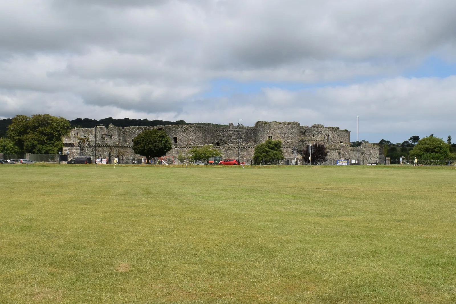
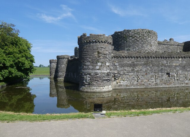
Beaumaris Castle, moated on three sides, at the town’s eastern edge. A separate ticketed visit (Cadw).
Seven sights: a moated castle, a Georgian street, a Victorian pier, an open waterfront, a 14th-century parish church, and a separately-run gaol and courthouse. No restaurants, pubs or shops are listed here; see Local life for the town’s everyday character.
Heritage
The most symmetrical of Edward I’s castles, and the one he never finished. This card is the moat-side walk round the outside, not the interior.
Check opening times and admission (opens in a new tab)Streets
The town’s main spine since it was laid out, and still a working street: painted Georgian fronts, narrow side lanes, shops people actually use.
Seasonal cruises
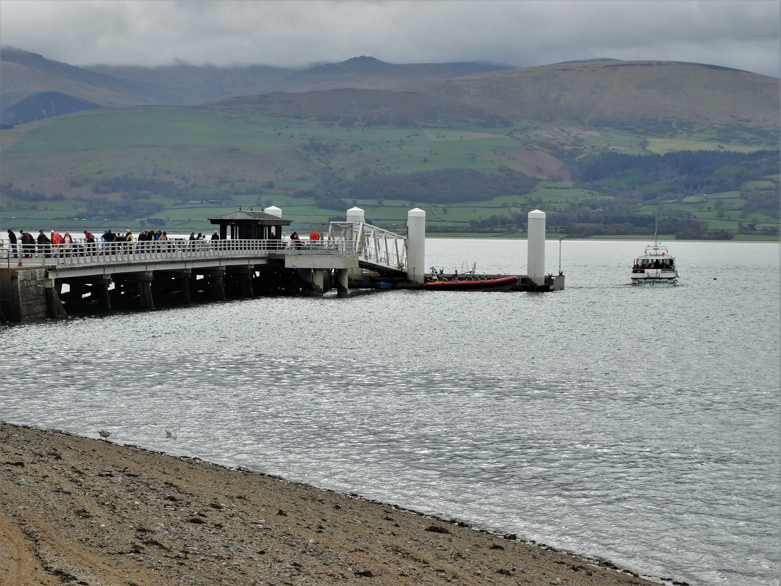
The visit’s natural full stop: a long Victorian deck out into the Strait, and in season the boarding point for the Puffin Island boats.
Check sailings to Puffin Island (opens in a new tab)Waterfront
Not an attraction so much as the place the town slows down: grass, benches and boats facing the Strait, with the weather coming across it.
Check seasonal dog restrictions (opens in a new tab)Seasonal museum
A grim, hands-on prison museum rather than a polished heritage centre: small cells, heavy doors, and one of the last penal treadwheels in Britain.
Check opening times and tickets (opens in a new tab)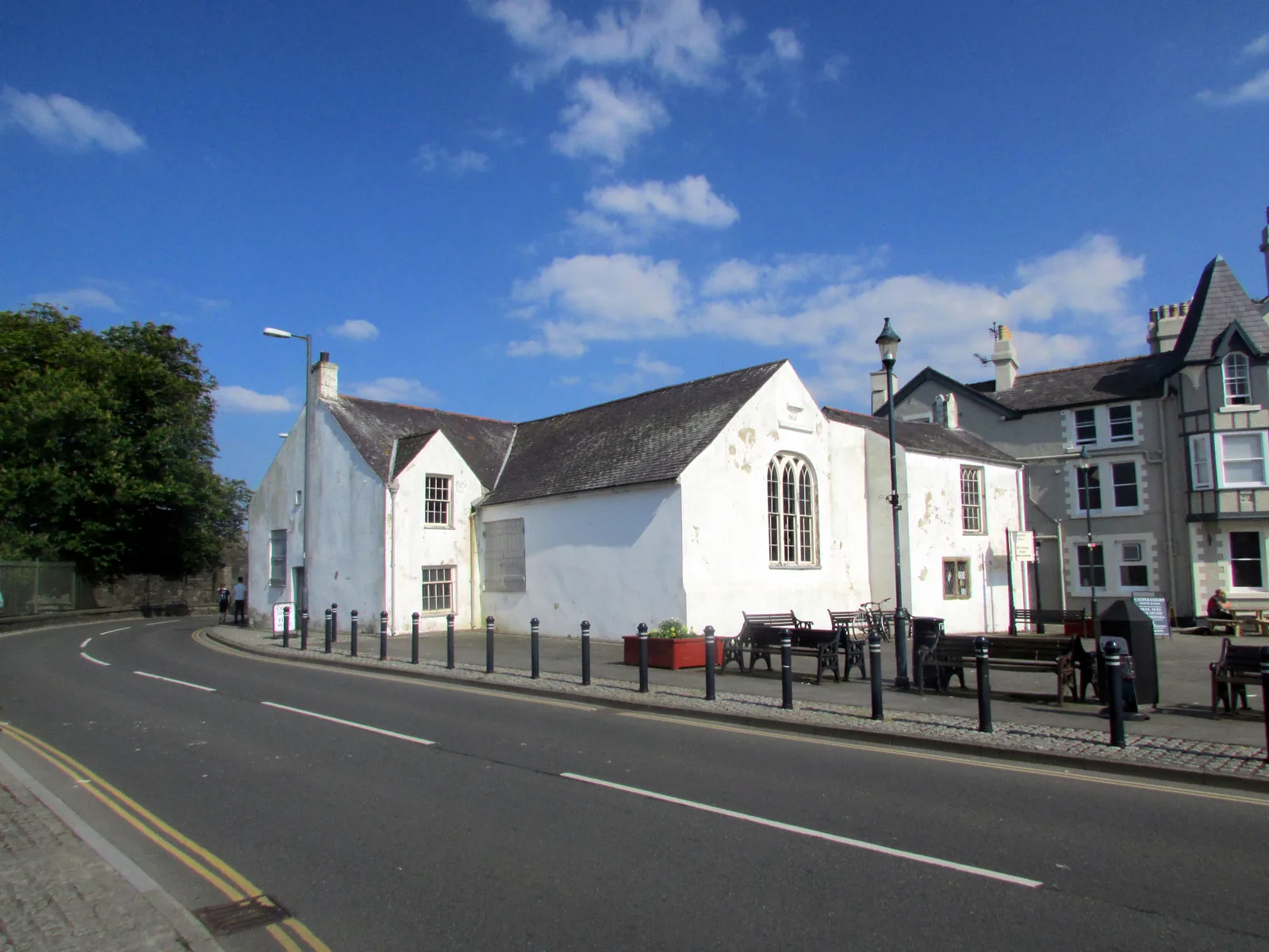
Joint ticket, seasonal
A compact courtroom still arranged as it was used, and a completely different mood from the Gaol it shares a ticket with.
Check opening times and tickets (opens in a new tab)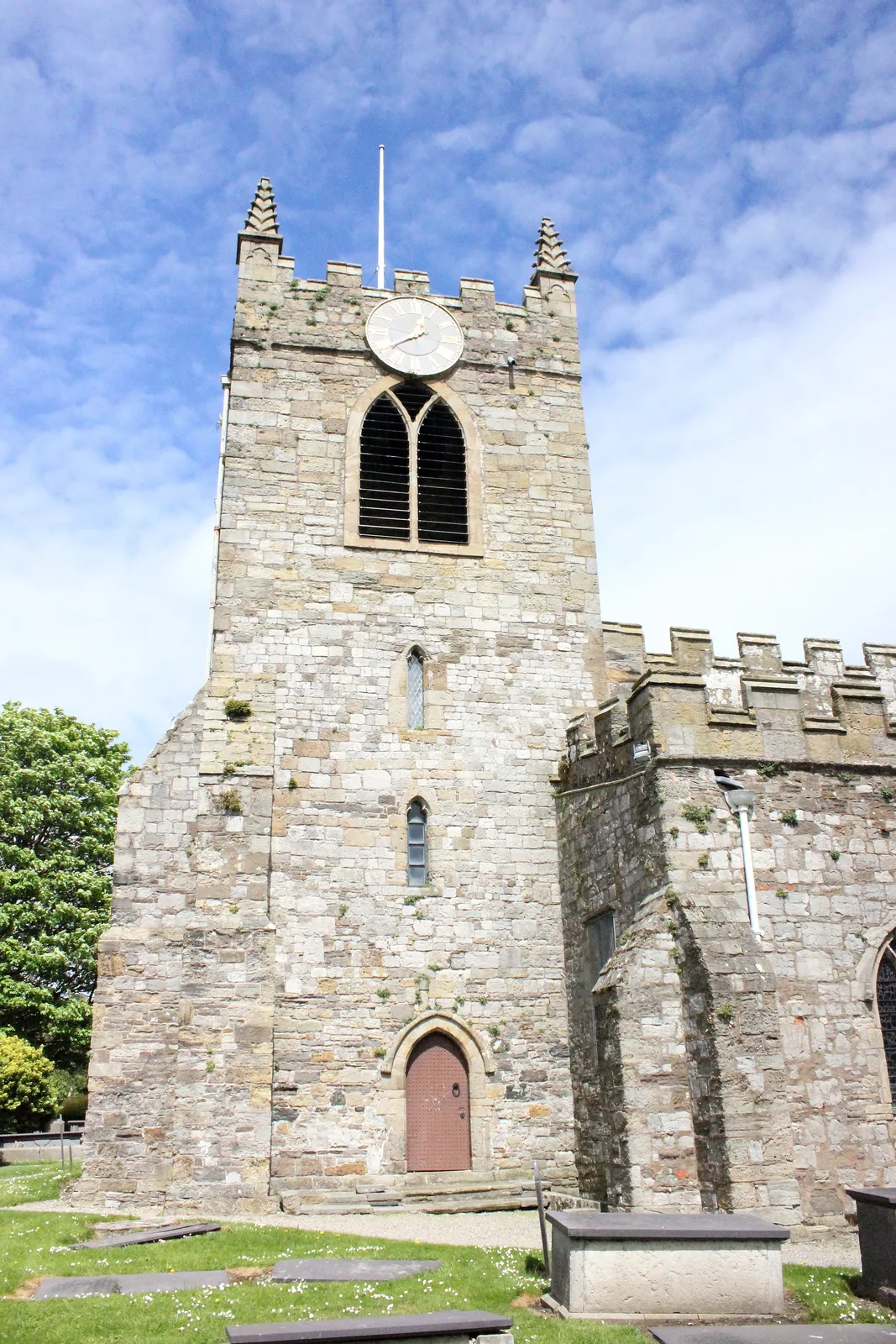
Working church
The oldest building in daily use in Beaumaris, and still a working parish church. The interest is in the details inside, not the frontage.
Museum and castle opening times and admission prices change seasonally, so confirm current details before you plan a day around them.
Gaol & Courthouse, Town Council03Story
Beaumaris (Welsh Biwmares) takes its name from the Norman-French beaux marais, “fair marsh.” The town was planned around a castle in 1295, and every layer since has been built inside that same plan.
People used this shore for fishing, trade and safe passage across the Menai Strait for centuries before 1295, the tides and the crossing that still define the town today.
Edward I’s last Welsh castle was built here from 1295, and a chartered town laid out beside it; the earlier Welsh community at Llanfaes was cleared to make room. The street pattern and the moated walls both still trace that plan.
As a chartered borough Beaumaris held Anglesey’s courts; the 1614 courthouse (one of the older surviving courthouses in Britain) served as an assize court into the 1970s.
The 1829 gaol closed as a working prison after barely fifty years, so it was never modernised. The pier opened in 1846 and was extended in 1895 to draw the Liverpool pleasure steamers, the waterfront’s Victorian high-water mark.
The gaol has been a museum since 1974; the castle joined Cadw’s UNESCO World Heritage Site with Edward I’s other Gwynedd castles; the pier was rebuilt in 2011–12. A working town underneath all of it.
The castle came first, and the town was planned around it. Five centuries later the courthouse and the gaol are what is left of running that town.
Atlas of Wales
Beaumaris is compact, but it is not only a heritage stop. Everyday life gathers along Castle Street, the Green and the waterfront, among cafés, pubs, shops, benches and the pier.
Visitors share these spaces with people who live here year-round. The front becomes busiest in fine weather and summer; outside that, the town feels quieter rather than closed.
Puffin Island lies offshore and can be seen from the Green on a clear day. For a closer view, Starida’s wildlife cruises leave from the pier between April and October. The island itself is a nature reserve.
Independent shops, cafés and pubs sit among Georgian and Victorian frontages. This is the part of Beaumaris people use every day, not simply somewhere visitors pass through.
Benches, the open view across the Strait and the pier make this the natural place to pause. In fine weather it becomes the town’s busiest shared space.
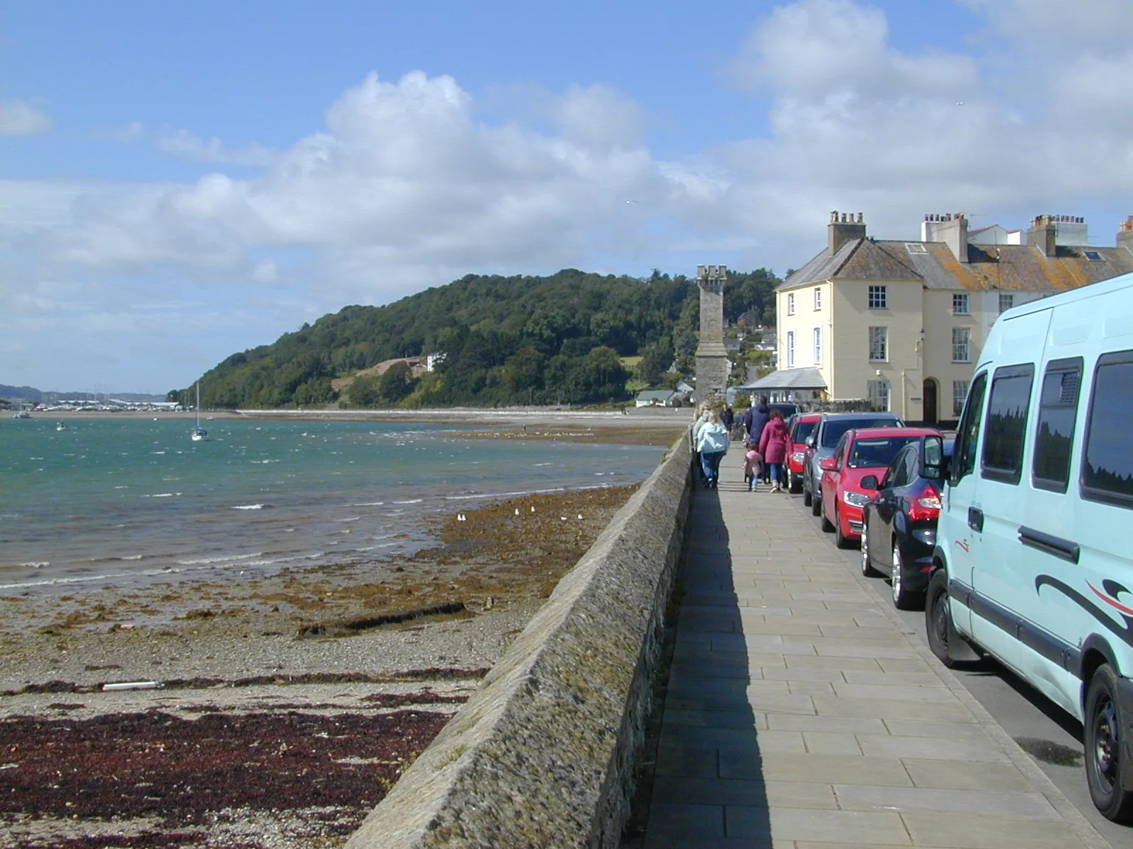
Museums and cruises are seasonal, but the town itself is not. Residents, shops, pubs and local services keep Beaumaris functioning through the quieter months.
The town in one walk
Start in the centre and the town reveals itself naturally, through stone, open water and the everyday life between them.
Plan your timeBeaumaris means “fair marsh”: the low, wet ground the castle was set on.
Atlas of Wales
04Plan
Castle Car & Coach Park or The Green.
Read the moated walls from the town side; the interior is a separate ticket.
The open front where the town meets the Strait.
Walk out over the water, Eryri stacked on the far shore.
Castle Car & Coach Park or The Green.
The moated walls, from the town side.
Georgian fronts, the Tudor Rose, and the town’s working spine.
Out over the Strait, Eryri on the far shore.
Something warm, a bench, and the weather crossing the Strait.
An early start gets ahead of the day’s crowds; summer weekends and fine afternoons are busiest along the front.
Step through the gatehouse on a Cadw ticket.
Old streets, then a break for food.
Seasonal museums, joint ticket; the Courthouse is closed Fridays.
Walk the deck, or book a Puffin Island cruise (Starida, April–October).
Practical
Everything you need for arriving and getting around.
Getting here
The A545 from Menai Bridge is the road in, and it ends at Beaumaris rather than continuing east. Three pay-and-display car parks: by the castle, on the green, and at Canolfan Beaumaris on the west side.
Open The Green car park in MapsRoute 58 (Arriva) links Beaumaris with Bangor via Menai Bridge, calling on Castle Street. Nearest railway is Bangor, across the Strait. Check the current service before travelling.
Route 58 timetablePractical details
Three car parks within walking distance of Castle Street: the county council’s by the castle, the town council’s on the green, and pay-and-display at Canolfan Beaumaris.
Check the IACC car parks listingCharges and restrictions can change. Check the signs when you arrive.
Beaumaris Castle Car and Coach Park
Castle · eastern side
Google Maps (opens in a new tab)The Green
Waterfront · pier · Castle Street
Google Maps (opens in a new tab)Canolfan Beaumaris parking
West side · near the Gaol
Google Maps (opens in a new tab)Two public toilets, both run by Beaumaris Town Council.
Check the IACC public toilets listingNear the castle, LL58 8AL · Castle Street, LL58 8AP
Beaumaris Town Council
The pier and the front are largely level. Older streets and historic buildings have steps and uneven surfaces.
Per-site accessibility (toilets, museums, the castle) is not independently confirmed, so check before visiting if this matters to you.
Largely level
Steps and uneven surfaces · Not confirmed per site
The pier, a wildlife cruise and the gaol museum give children plenty without a long walk.
Check with StaridaThe pier and the front · level, and free to walk
Puffin Island wildlife cruise (Starida, Apr–Oct) & the Gaol museum, seasonal
Banned from designated beach and waterfront areas 1 May–30 September; some areas stay open.
The exact zone boundary is on an IACC map/PDF, not summarised here, so check it before you travel.
Dogs are welcome on the Starida Puffin Island wildlife cruise; assistance dogs only on the fishing trip.
The castle is a Cadw ticket; the gaol and courthouse share a separate one. Neither is included in a walk round the town.
Use Beaumaris as a base
Four real Atlas destinations pair with a Beaumaris visit. Distances are straight-line from the town centre, not driving times.
An unfinished Edward I fortress of symmetry and stone, set beside the quiet waters of the Menai Strait.
About 0.1 miles east (straight-line)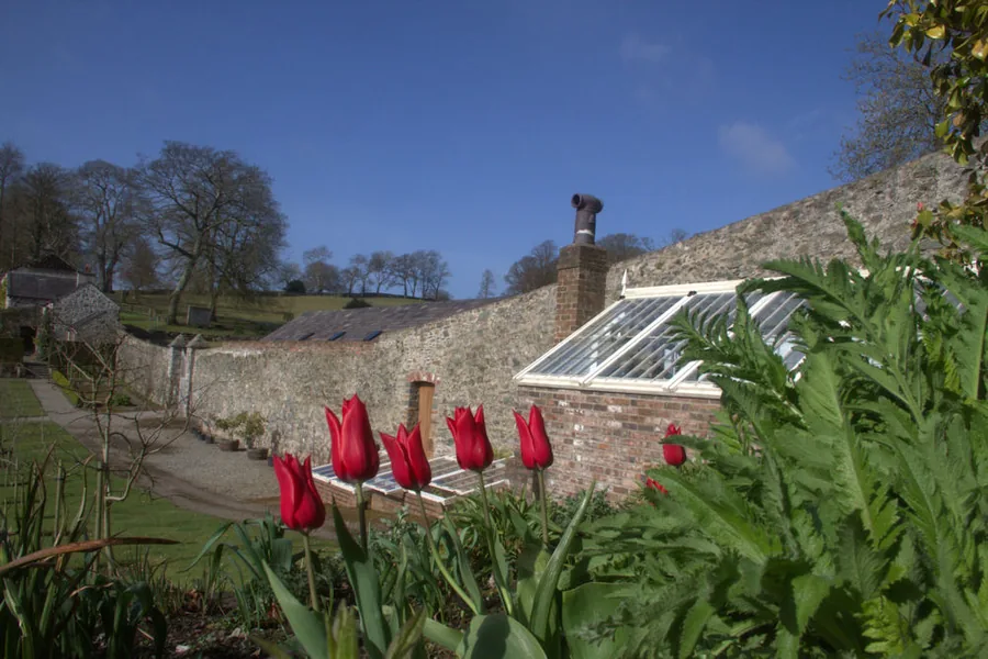
A restored ten-acre garden hidden in a wooded valley near Menai Bridge: a curving walled garden, a river and three waterfalls, and woodland with a ruined 19th-century folly.
About 3.5 miles south-west (straight-line)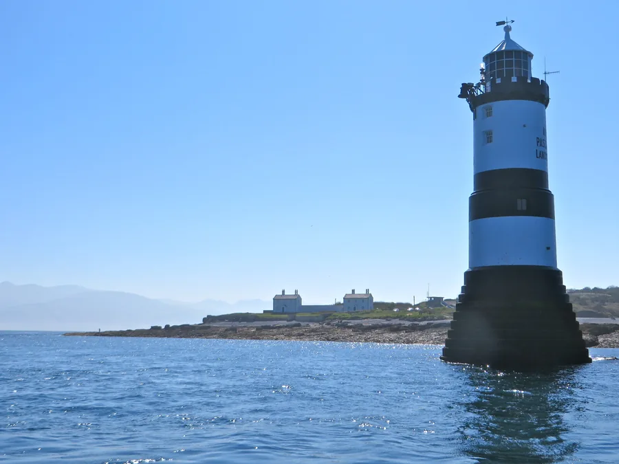
Anglesey’s eastern tip, looking out to the Trwyn Du lighthouse and Puffin Island, the island visible from the Beaumaris front, seen from its other side.
About 3.9 miles north-east (straight-line)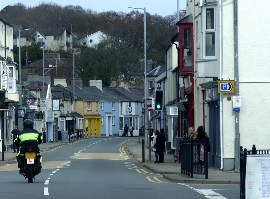
The Anglesey town Telford’s bridge created: a two-kilometre shoreline loop past a promenade built by First World War refugees, a tidal causeway to a medieval island church, and a pine-wood nature reserve.
About 3.9 miles south-west (straight-line)Before you go
Walk from the castle through the old streets to the Green and pier, and the town comes together naturally.