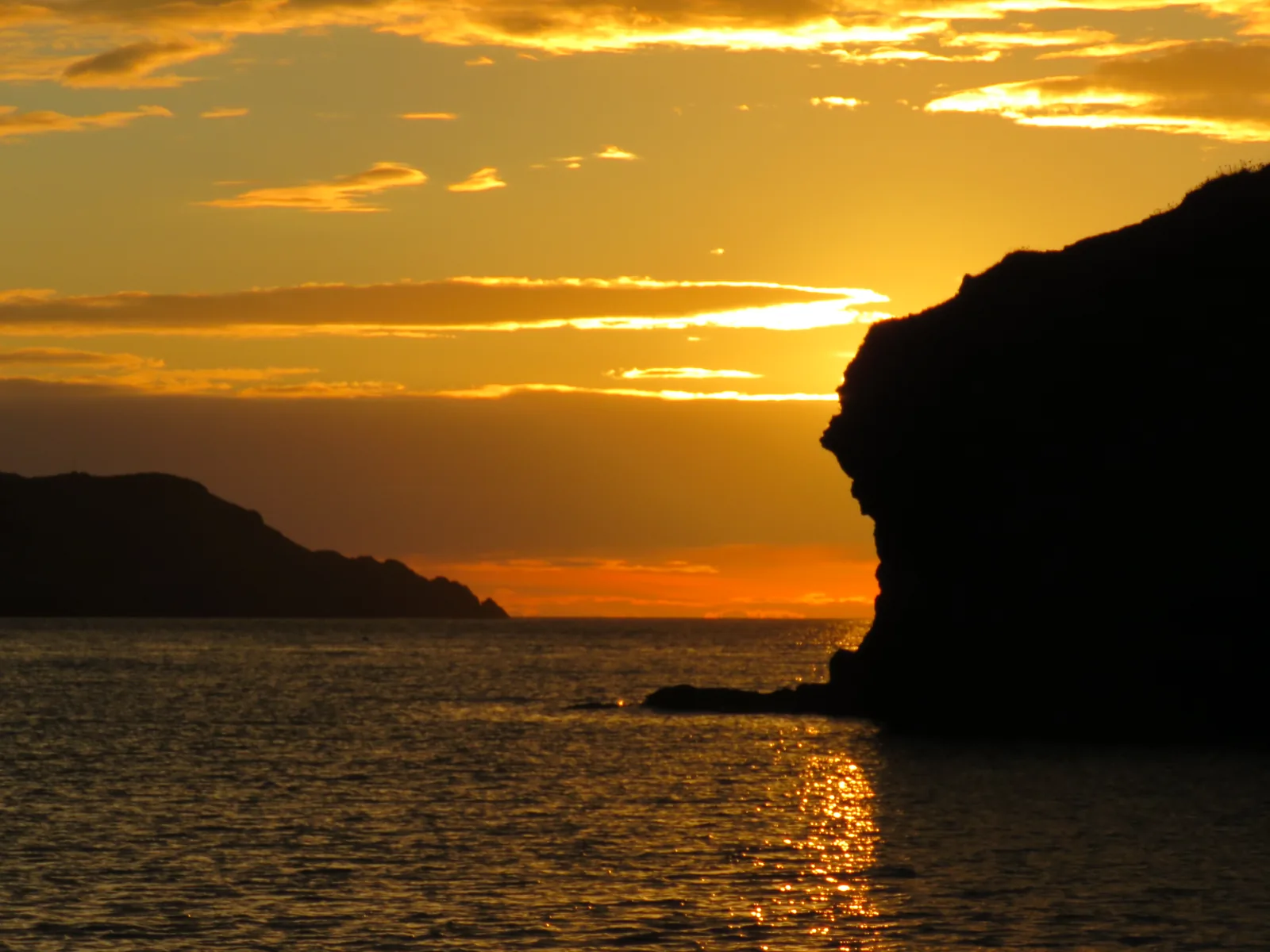
The harbour that made the village
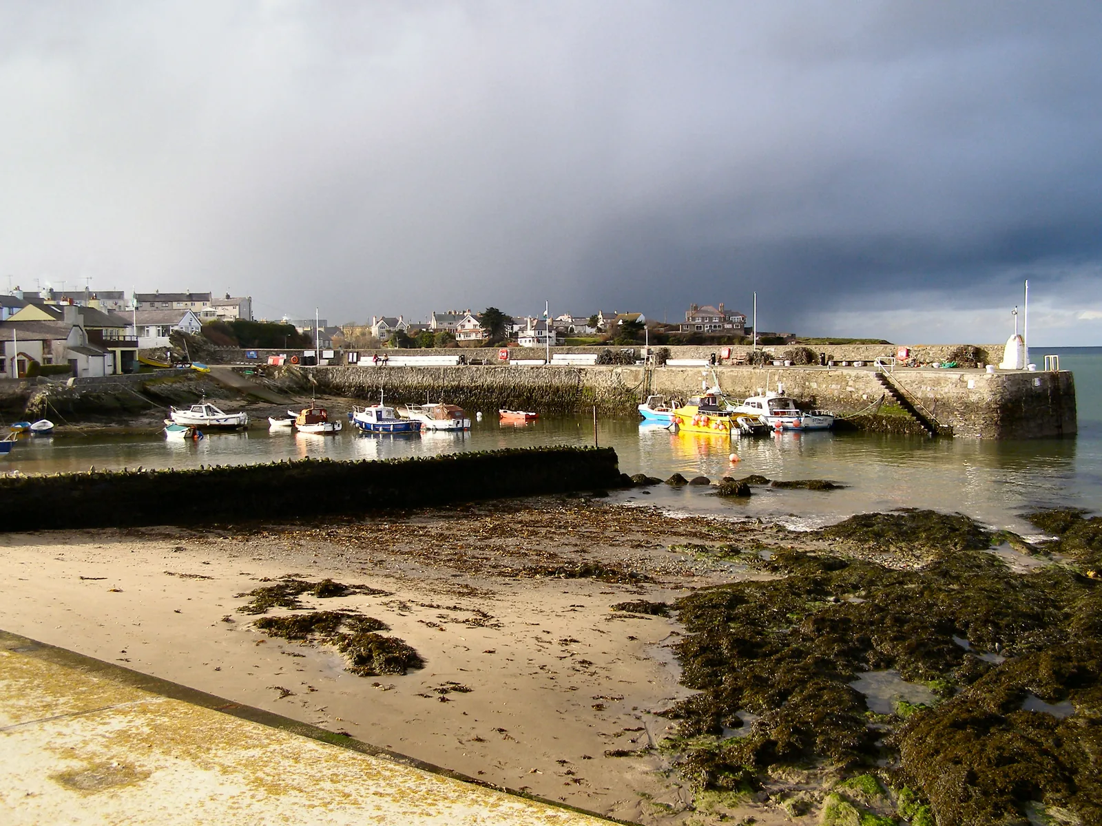
Small boats still lie inside the same stone arm that sheltered the ships once built here.
Isle of Anglesey · North coast
The most northerly village in Wales, wrapped around a sheltered harbour with a sandy beach on one side and a rocky one on the other.
01The village
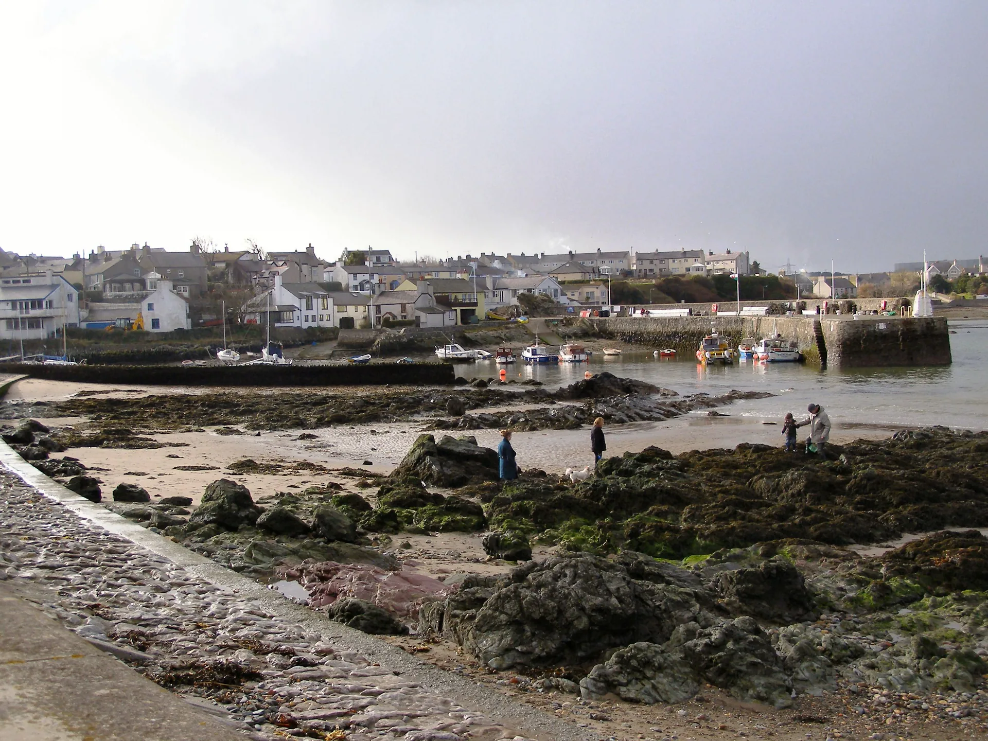
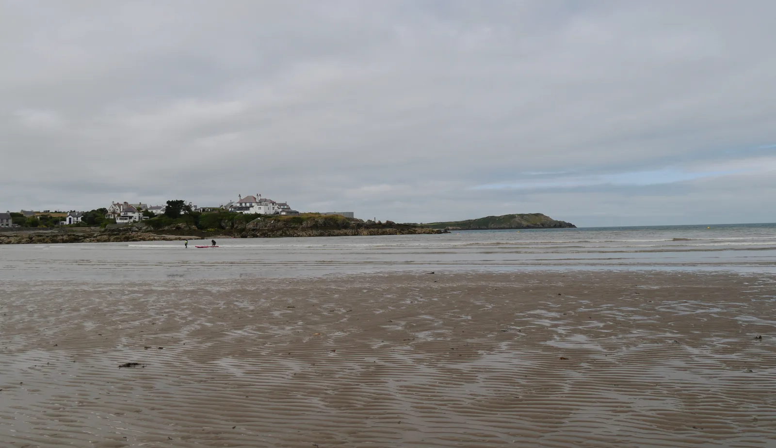
Cemaes is arranged around one sheltered inlet. The stone breakwater and the boats sit in the middle; Traeth Mawr, wide and sandy, opens north-east of it, and Traeth Bach, small and rocky, is a few hundred metres the other way. The village itself (High Street, the chapels, the shops and the Heritage Centre) sits a couple of minutes inland, across the bridge over the Afon Wygyr. All of it is flat.
Two completely different shorelines, a working harbour and a village you can walk end to end, and then a cliff path that turns the stop into a proper half day. Few places on Anglesey give you that much variety inside one short walk.
Character
Boats still use the harbour; the shops and chapels behind it serve the people who live here.
Pace
Beach, harbour and High Street are minutes apart; only the cliff path asks anything of you.
Landscape
An inlet open to the Irish Sea, with cliffs east towards Llanbadrig and the Wylfa headland west.
Best for
Best for families on the sand, and for anyone willing to keep going east along the cliff.
02Discover
Small boats still lie inside the same stone arm that sheltered the ships once built here.
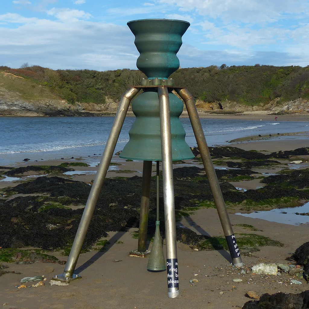
A bronze bell stands out on the sand that nobody plays; the rising tide moves the clapper.
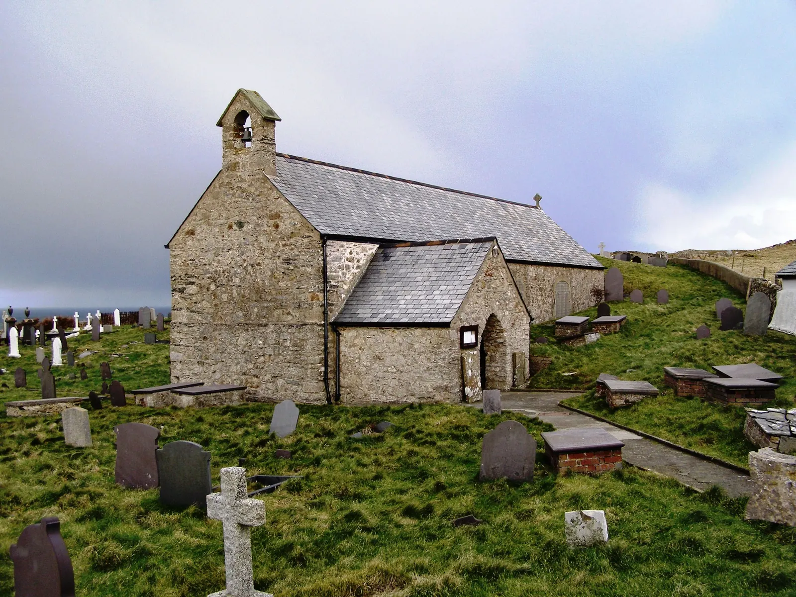
A church standing on the cliff edge with the most northerly burials in Wales around it.
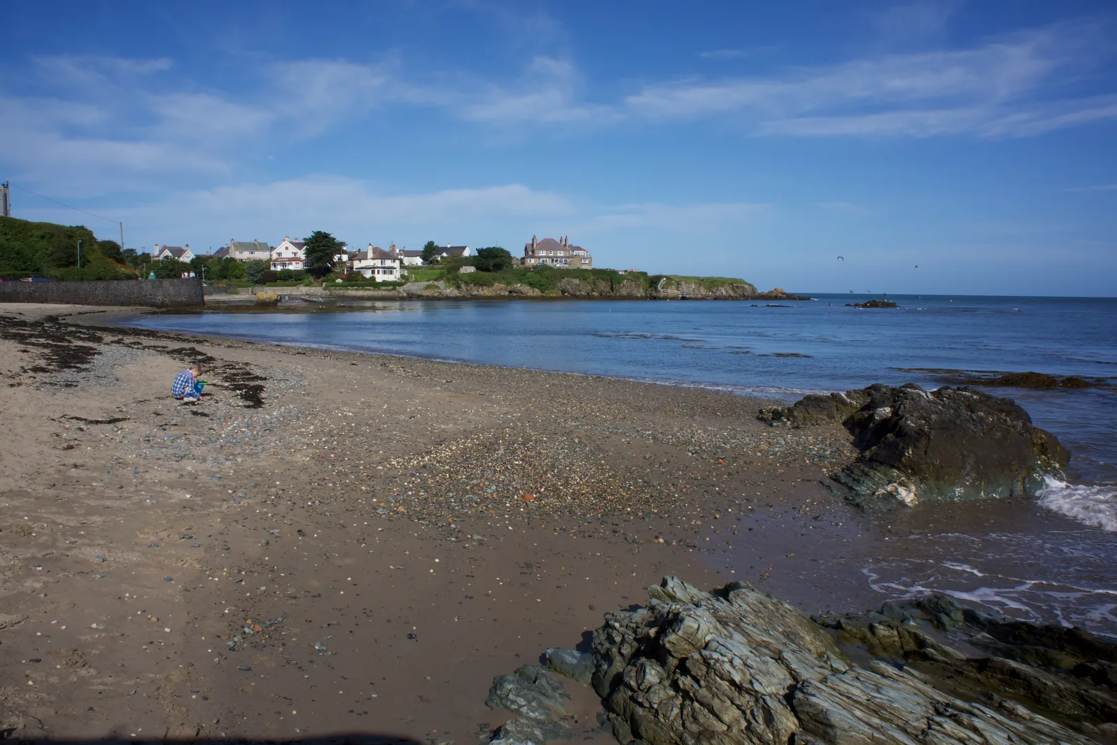
Cross the harbour and the shoreline changes entirely: pebbles, weeded rock and pools instead of sand.
Beyond the first defining moments, the fuller Cemaes catalogue continues below.
The harbour is the middle of everything. Traeth Mawr opens to its north-east, Traeth Bach to its south-west, the village sits inland behind the bridge, and the cliff path runs a mile north-east to Llanbadrig.
No verified image yet
Cemaes Harbour
The middle of the bay, at the foot of the village. Everything else here is measured from it.
Six stops, from the harbour in the middle of the bay to the church on the cliff a mile north-east. No cafés, pubs or shops are named here; see Local life for the village's everyday character.
Harbour
Walk the breakwater arm and you see how the whole village is arranged around one sheltered inlet. This harbour is why Cemaes is shaped as it is.
Beach
Wide sand and a level promenade, and out on the rocks a bronze bell that the incoming tide rings by itself. Time your visit for that.
Check tide times (Cemaes Bay station) (opens in a new tab)Beach
A completely different shoreline a few hundred metres from the first: shingle, weeded rock and pools instead of sand. Quieter on any warm day.
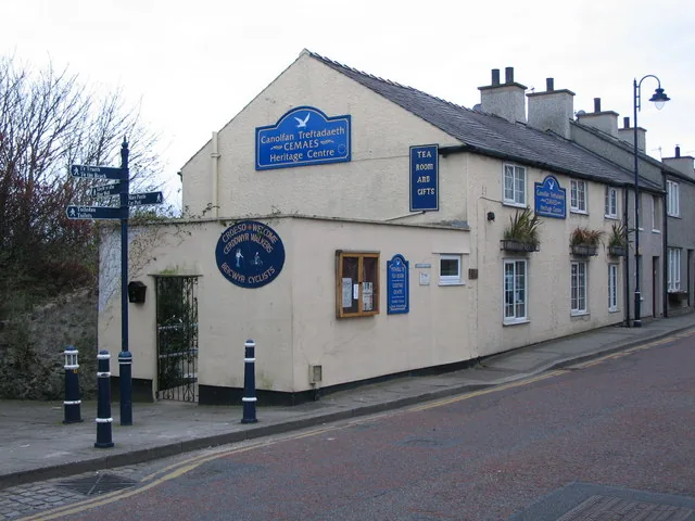
Heritage
The one room in the village that puts the port’s story in order, told through the people who worked it. Volunteers keep it open, so times vary.
Heritage
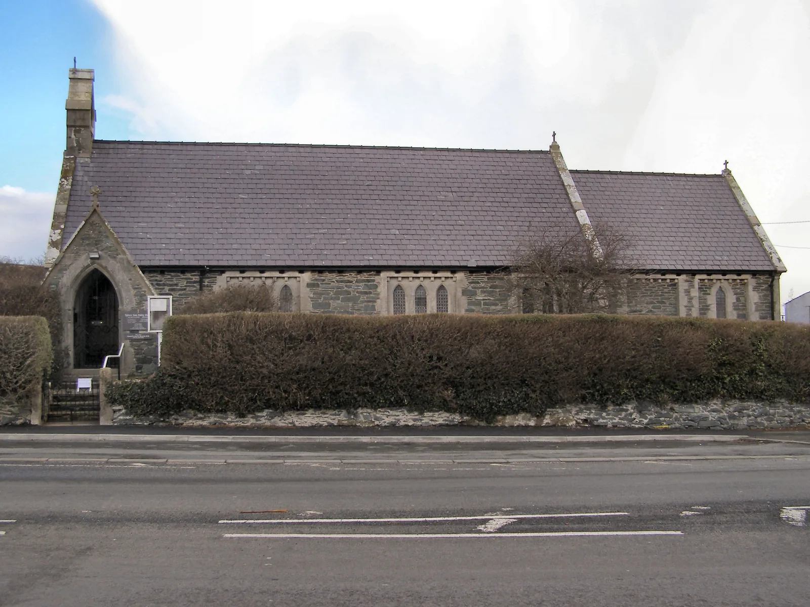
The village’s own church, and the one with no graveyard, which is why Cemaes Anglicans are still carried the mile north-east to Llanbadrig.
Heritage
A plain stone church alone on the cliff, with the most northerly graves in Wales around it. Nothing outside prepares you for the blue tiles inside.
Car-park charges, the Heritage Centre's opening times and the exact boundary of the seasonal beach dog-ban area are all reviewed locally and are not printed here, so confirm them before you plan a day around them.
Isle of Anglesey County Council, car parks03Story
The name means a bend or an inlet, the shape of the bay itself. For most of its recorded life this was not a place people came to look at. It was a place things left from.
Before the conquest of 1282–83 this was a commotal seat under the Prince of Wales. Its older name, Porth Wygyr, belongs to the river that still runs out through the village to the sand.
Cemaes fished for herring before it traded. Through the 18th and 19th centuries it shipped out limestone, marble, bricks, corn and ochre and took in coal and flour, and ships were built in the shelter of the harbour itself.
The first breakwater went up in the 1830s. Storm damage in 1889 forced a replacement, and further improvements followed in 1900. The arm you walk today is the third answer to the same problem.
A brickworks opened in the valley in 1907 with a Hoffman kiln and a tramway running down to the pier. It closed in 1914. The tramway's line is still there under the path through the trees.
An RNLI station stood on the western headland from 1872 to 1932: sixty launches, forty-two lives. Wylfa began generating on the same headland in 1971, stopped on 30 December 2015, and in November 2025 was chosen for the UK's first small modular reactors.
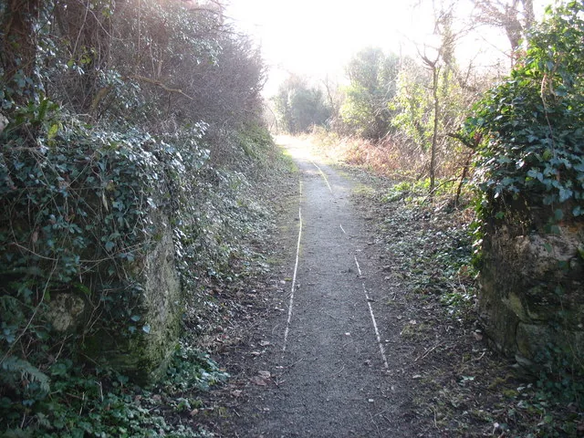
The rails to the brickworks are still in the path. Nothing has run on them since 1914.
Atlas of Wales
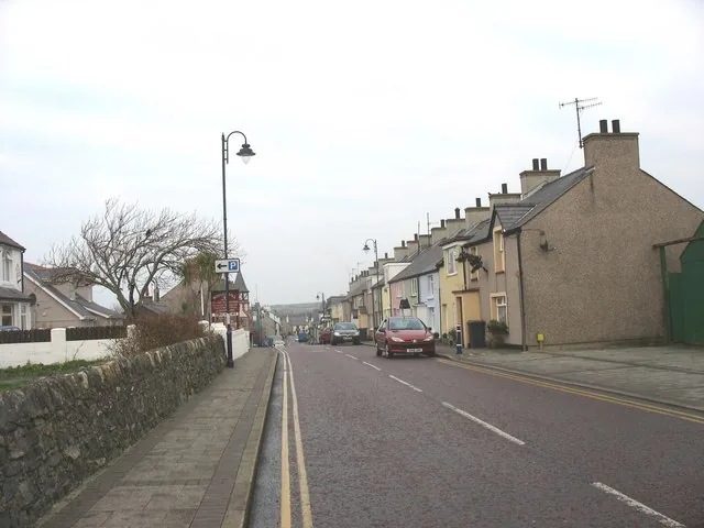
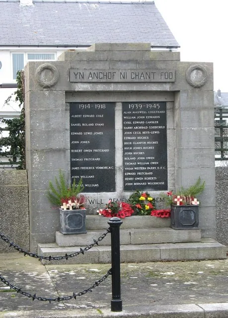
The Llanbadrig community counted 1,357 people at the 2011 census, and most of them live behind the harbour rather than on it. High Street carries the cafés, pubs and shops, none of them named here as a recommendation, along with two 19th-century chapels, a clock-towered village hall and the war memorial.
Because the A5025 bypasses the village, nobody arrives by accident. The people you pass are either living here or have chosen to come, and a good number of them are walking the Anglesey Coastal Path straight through.
The two beaches sit either side of the harbour and are nothing alike. Traeth Mawr is wide sand; Traeth Bach, five minutes round the inlet, is shingle, rock and pools.
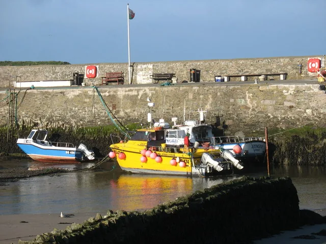
Pot buoys, small boats and the harbour wall, and the trade is smaller than it was, but it never stopped.
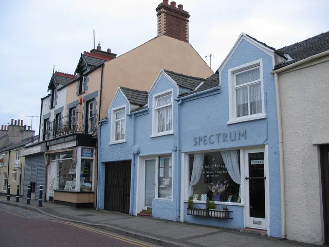
Painted fronts, a handful of shops and services, and the everyday business of a village that isn't only for visitors.
The beach is the village's shared ground, and the coast path leaves from the end of it in both directions.
The village in one visit
A clock tower on the village hall, two chapels within a few hundred metres of each other, a war memorial with its own inscription, and terraces looking straight down at the boats: the ordinary architecture of a village that has always had to pay for itself.
Plan your time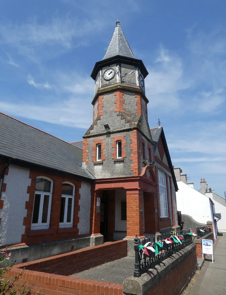
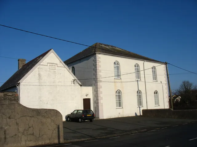
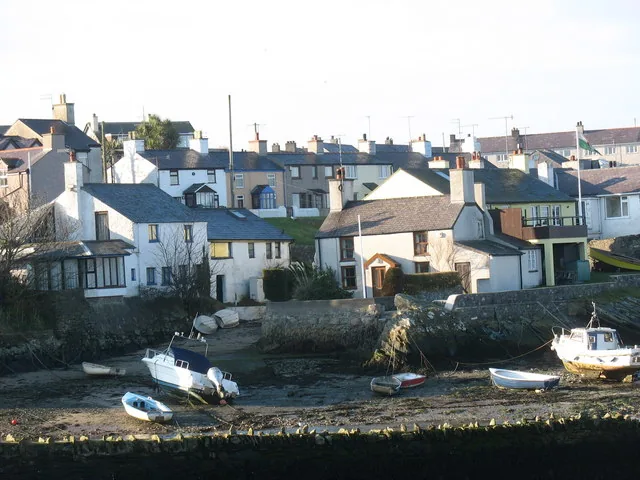
The village church was built without a graveyard, so its dead still go the mile to Llanbadrig.
Atlas of Wales
04Plan
The car park puts you on the promenade behind Traeth Mawr.
How close you get is the tide's decision, not yours.
The breakwater arm, the boats, and the village stacked behind.
Start on the big beach while the sand is still empty.
Round the head of the inlet, past the moorings.
Rock, shingle and pools: a different beach entirely.
High Street, the chapels, and the Heritage Centre if it's open.
Get the story straight before you look at the harbour.
Five minutes out of your way, and it explains the church you're walking to.
Then out along the promenade to the far end of the sand.
A mile of open coast, climbing to the church and its graveyard.
The same path in reverse, with the village in front of you the whole way.
Practical
Everything you need for arriving and getting around.
Getting here
Cemaes sits just off the A5025, which bypasses the village; the beach is signed from either end. Car parks serve the beach, with further parking in the village.
Open the Traeth Mawr car park in MapsBus services call in the village, including the 61 towards Holyhead and the 62 towards Bangor. Frequencies vary by day and season and are not printed here. Check the current service before travelling.
Route 62 timetablePractical details
Four village car parks, run locally rather than by the county council — one off High Street, two on Traeth Mawr and a small one at Traeth Bach — plus free parking up at Llanbadrig Church.
Check the village facilities listingCharges and restrictions can change. Check the signs when you arrive.
Main Village Car Park
Village centre · off High Street
Google Maps (opens in a new tab)Traeth Mawr Main Car Park
Traeth Mawr · beach and promenade
Google Maps (opens in a new tab)Traeth Mawr Far Car Park
Far end of Traeth Mawr · from Llanbadrig
Google Maps (opens in a new tab)Traeth Bach Car Park
Traeth Bach · far end
Google Maps (opens in a new tab)Llanbadrig Church
By Llanbadrig Church · north of the village
Google Maps (opens in a new tab)Public toilets and a seasonal beach kiosk are reported at the main beach car park, and a level promenade runs behind the sand, but none of this is confirmed here against a council source, and the Heritage Centre's own hours are set by volunteers.
Check the council’s public toilets pageToilets and a seasonal kiosk at the beach car park
Heritage Centre opening hours. Check before making a special trip.
Cemaes Bay is one of seven Anglesey beaches with a seasonal dog ban area from 1 May to 30 September (part of the beach, not all of it) and dogs must be on leads on the promenades. The council publishes the exact ban zone as a map, and it is signed on site.
Check the council’s beach dog rules and ban-area mapSeasonal ban area 1 May–30 Sept; leads on the promenades
Whether Traeth Bach sits outside the ban area · check the map
This is a north-facing bay open to the Irish Sea, and the cliff path east to Llanbadrig is unsurfaced and exposed. The coast path continues past Porth Wen and Dinas Gynfor, which are proper walks rather than extensions of a beach visit.
No site-specific RNLI or coastguard safety notice for Cemaes was independently confirmed here beyond general coastal caution. Wylfa, on the headland west of the bay, is a working decommissioning site and is not open to visitors.
The bell stands at the water's edge · reaching it is tide-dependent
Flat in the village; unsurfaced and exposed on the cliff path
The beach car park puts you between the two shorelines, so which one you start on is the only decision to make before you set off.
Use Cemaes as a base
Four real Atlas destinations pair with a Cemaes visit. Distances are straight-line from the village, not driving times.
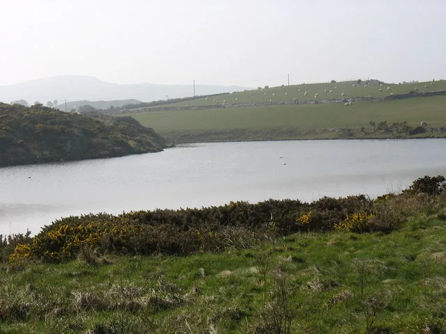
A shingle ridge holding back a brackish lagoon, and one of Wales's most important tern colonies: the same coast, without a village on it.
About 2.6 miles west (straight-line)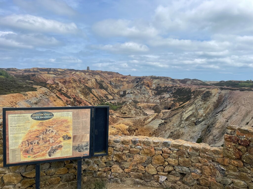
The copper mountain that once supplied the world: an ochre-and-rust landscape that explains where a lot of Cemaes's outbound cargo was going.
About 4.4 miles east (straight-line)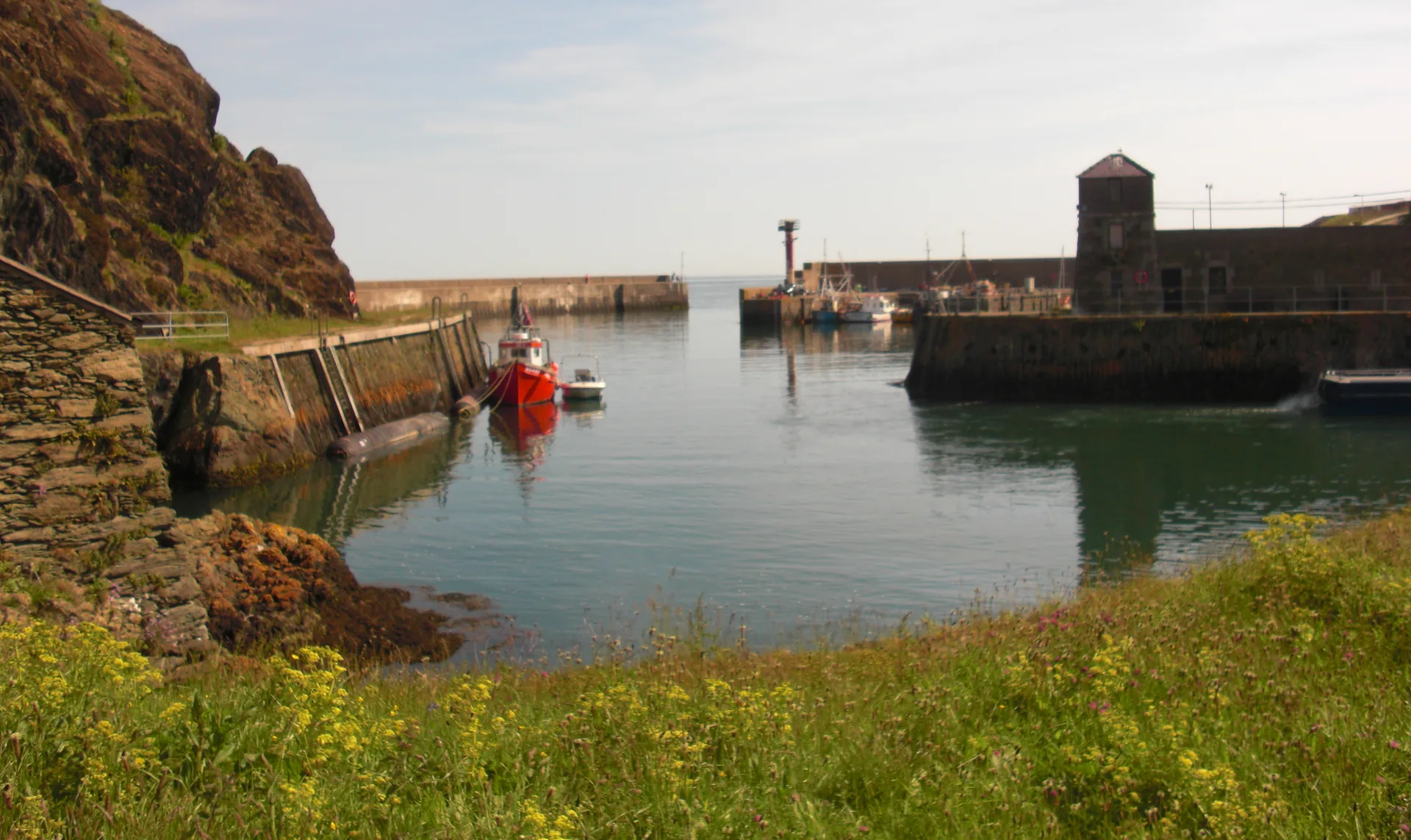
The north coast's copper town, with a rock-cut harbour far narrower than this one: the industrial scale Cemaes never reached.
About 4.4 miles east (straight-line)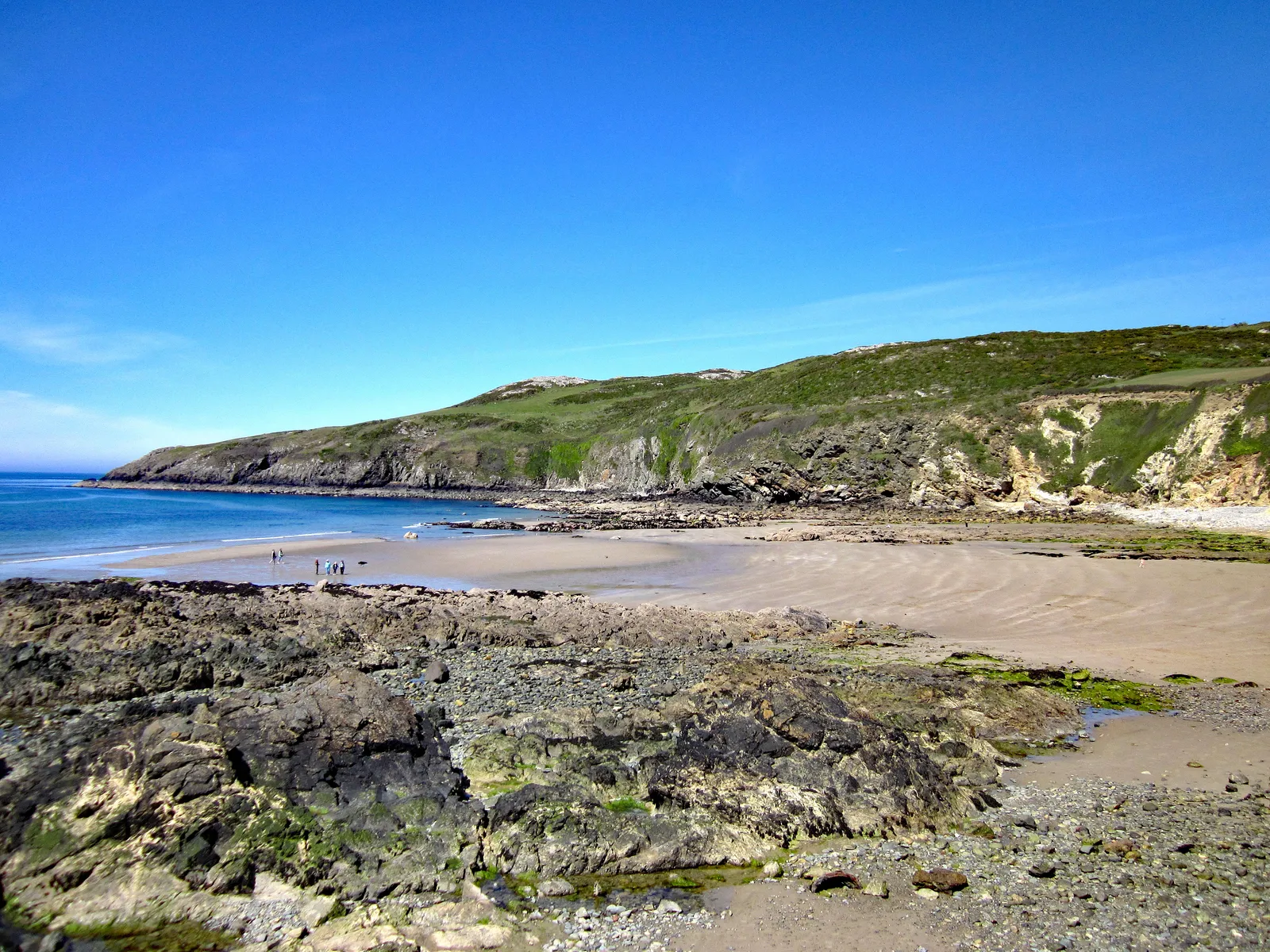
A small west-facing sandy cove round the corner of the island: the sunset side of the same stretch of coast.
About 5.0 miles south-west (straight-line)Before you go
No headland drama, no last-stop signage: only a harbour, two beaches and a graveyard on the cliff.