An informal parking area sits near the beach access road and Lôn Isallt, off Porthdafarch Road. The link opens the beach access point, not a formal car park.
Not National Trust–run
No published tariff, operator or capacity, so treat it as informal roadside space rather than a managed car park, and have a fallback in mind.
Arrive early
Space is limited. Arrive early on a summer weekend.
Public transport & car-free access
By bus
No published timetable shows a stop at the beach itself. Route 23 runs Holyhead–Trearddur–Rhoscolyn, passing either side of the cove.
The gap
Plan the last stretch on foot from a village stop, and allow more time than you expect, because no operator publishes the walking distance. Work it out with Traveline Cymru and check the current service before travelling.
Verdict
A car makes the final stretch much easier.
Toilets, food & facilities
Toilets
Public toilets nearby are seasonal (roughly mid-March to late September) and run by Isle of Anglesey County Council, not the National Trust.
Food
No café or kiosk at the beach, so bring your own.
Accessibility & terrain
Guide
An AccessAble guide is published for this site. See the National Trust page for the link.
Terrain
Beyond that guide, no surface or gradient detail is published, so read it before relying on step-free access.
Dogs & restrictions
Most of the year
Dogs are allowed across the beach.
Signed zones
Restricted 1 May–30 September, confirmed by both the National Trust and Isle of Anglesey County Council.
On arrival
The council’s own map is the authority on where the restriction falls. Check it before you let a dog off the lead.
Safety, weather & local conditions
Lifeguard
Plan as though the beach is unpatrolled: assume no lifeguard cover, swim within your depth, and keep children close in the water.
In the water
Take care around rocks, currents and changing tides, as with any open Welsh coast. Forecast and tide times for Porth Dafarch: Met Office, reading the Trearddur Bay station 2 miles south.
If you are in danger, call 999 and ask for the Coastguard.
PLACE-SPECIFIC DETAILS
Watersports & diving
Coasteering
Guided coasteering trips run on this coastline, spring to autumn, with operators based nearby. See Active Cymru.
Diving
Divers and snorkellers use the bay to reach the wreck of the steamer Missouri, which came ashore nearby in 1886 and now lies roughly half a mile offshore: equipment-dependent, not part of an ordinary beach visit.
What to bring
Water
Snacks
Windproof layer
Sturdy footwear
Charged phone
Dog lead (outside restricted season)
This isn’t the headline beach. It’s the quiet one in between.
Porth Dafarch sits between two names most visitors already know (South Stack’s cliffs to the north, Trearddur Bay’s sand to the south), a sheltered bay most people drive past on the way to one or the other.
Look down at the right stretch of sand and there’s a line in the rock most beaches don’t have: a dark seam of volcanic stone that geologists have used to read this whole stretch of coast.
Two headlands, one line in the rock between them.
Should this shape your day?
A short, easy stop, best paired with South Stack or Trearddur Bay, not built around alone.
Good fit for
rock-poolers and quiet-beach seekers
coasteering and snorkelling groups
walkers linking South Stack and Trearddur Bay
anyone curious about the beach’s geology
Think twice if
you need a managed, guaranteed car park
you need a lifeguarded beach
you’re relying on toilets or food outside summer
you’re visiting with a dog in high summer, unchecked
Arrive outside the summer weekend rush, when the informal parking is easiest and the bay is at its quietest.
The coast path keeps going, either way you turn.
One beach, seven scenes.
See the shape of the visit before you commit to it.
01 Arrival
Off the beach access road, by informal parking.
02 The bay opens
Two low headlands frame the sand.
03 The old settlement
Hut circles and burial mounds mark the inlet’s head.
04 The line in the rock
A volcanic dyke crosses the south beach.
05 Rock pools
Or follow the coast path along the cliffs above.
06 The customs post
Fenced off now, a quiet reminder of a working coast.
07 Beyond the sand
Coasteering groups and divers head into the water.
Seen along the way.
Sand, rock and the coast path: the visit before you make it.
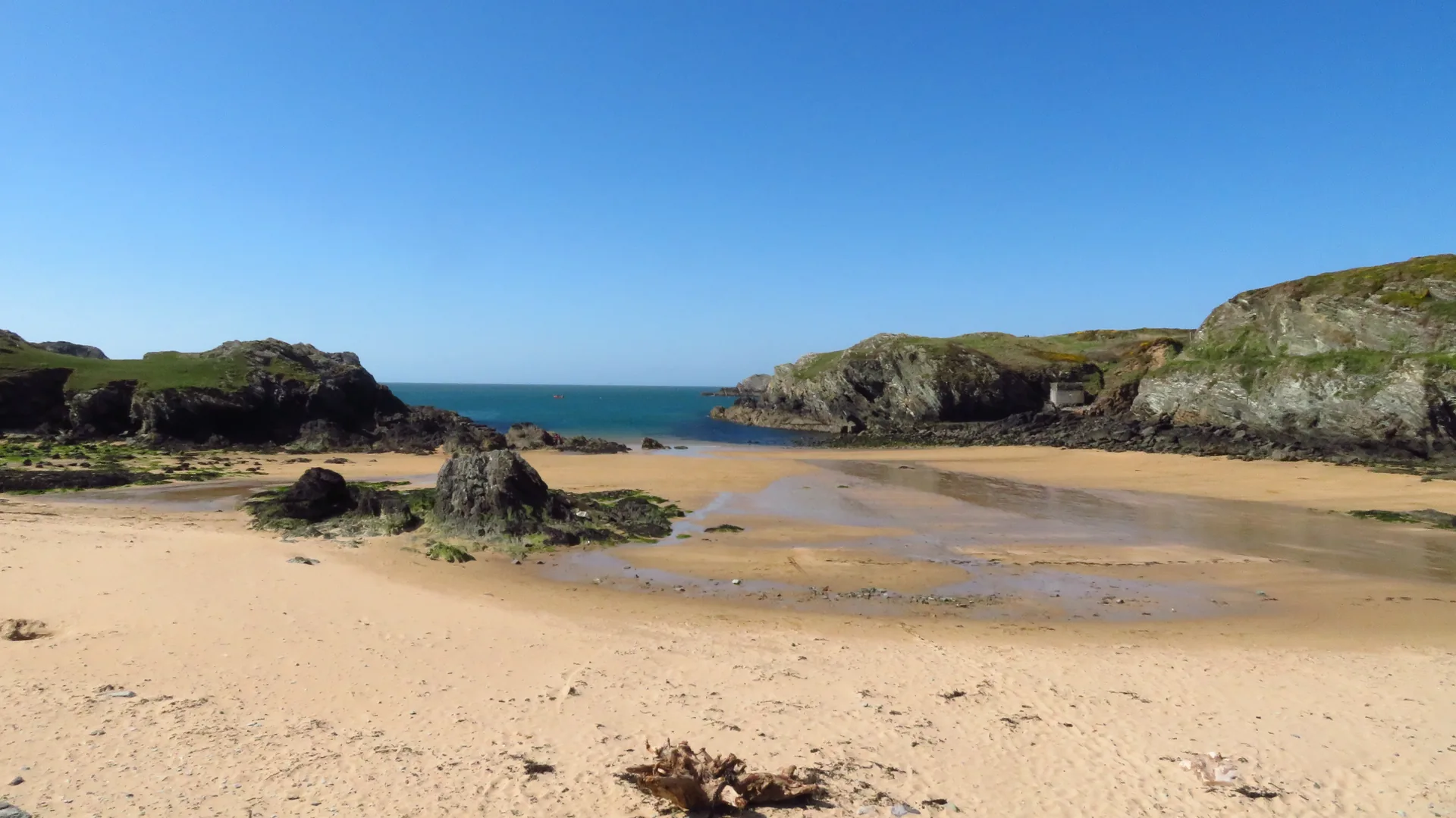
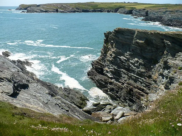
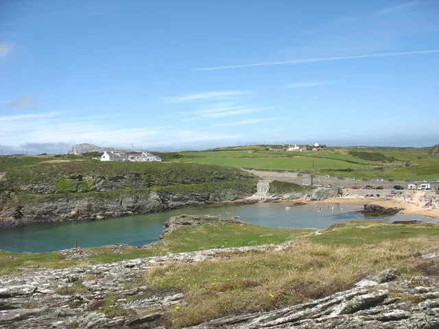
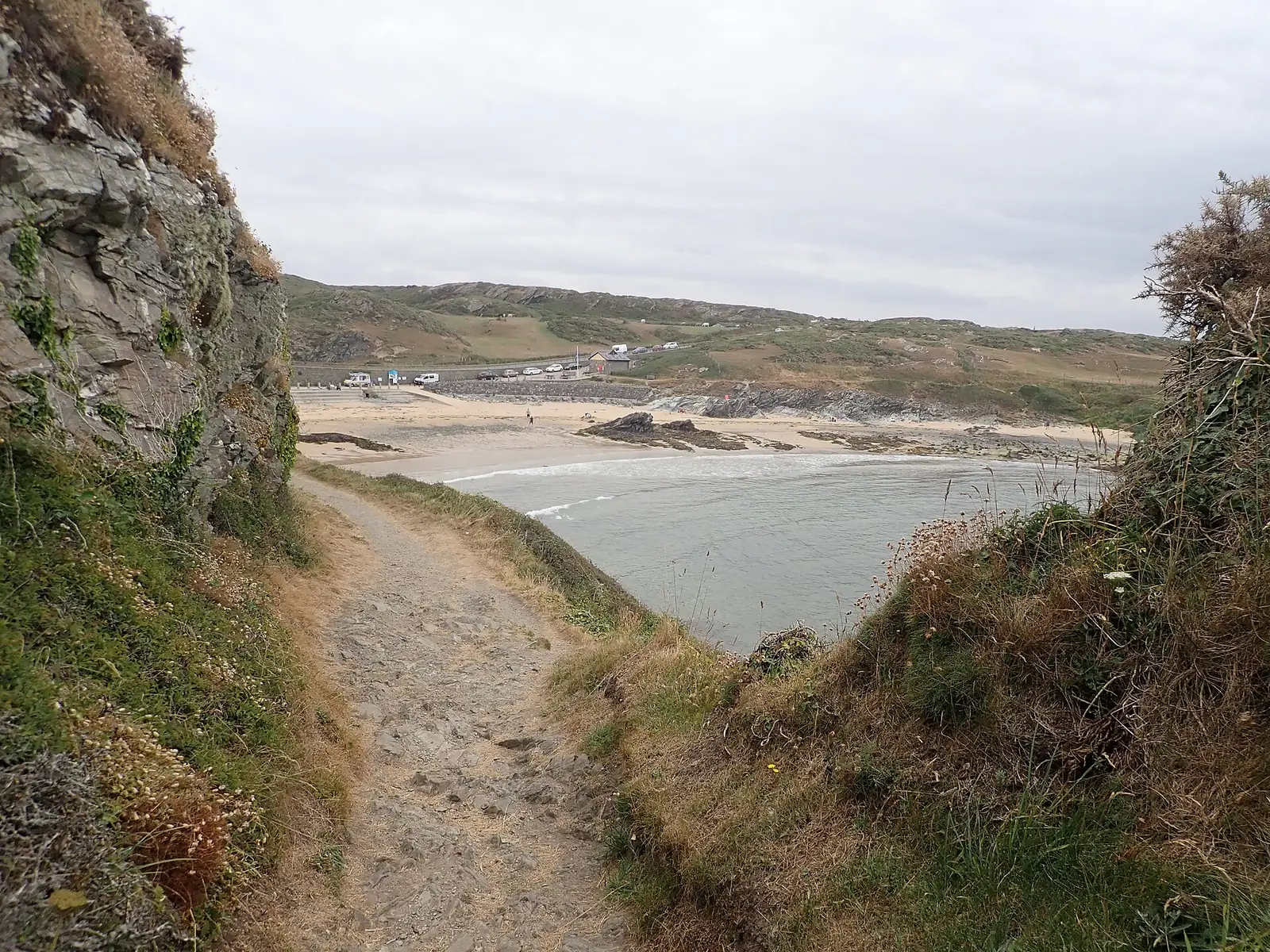
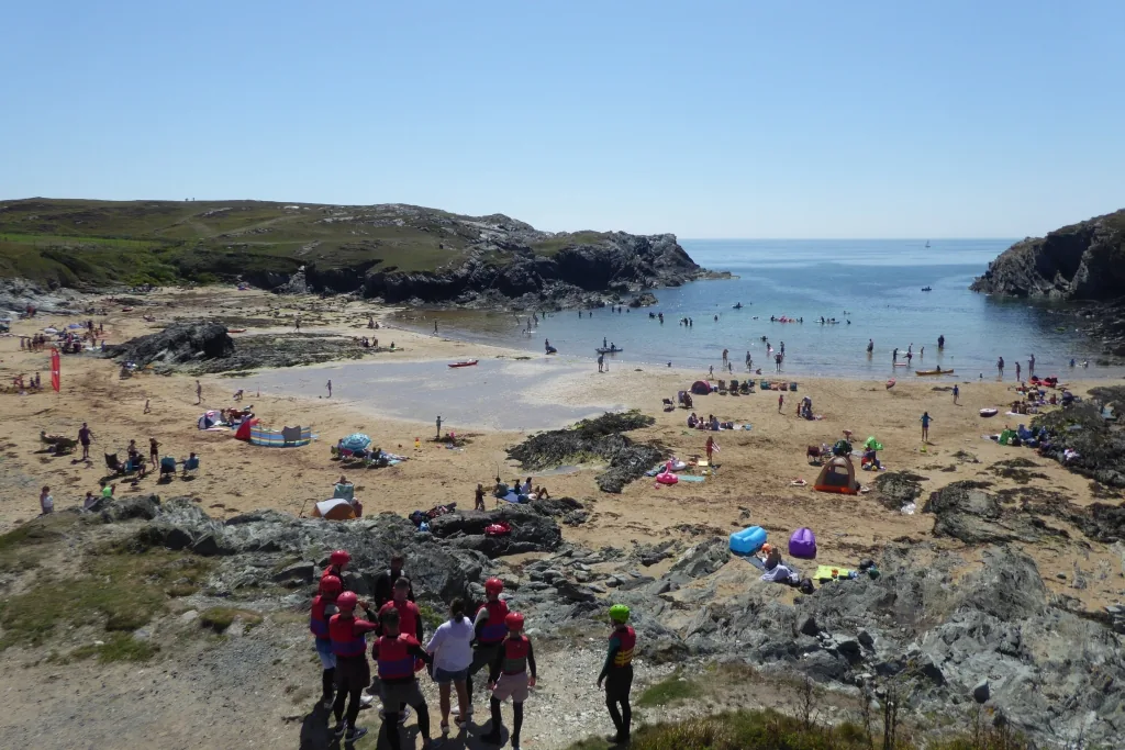
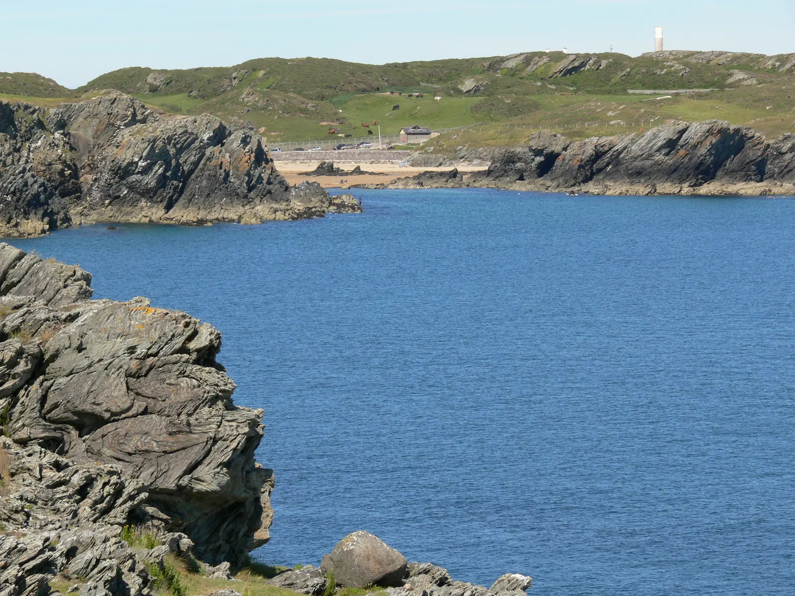
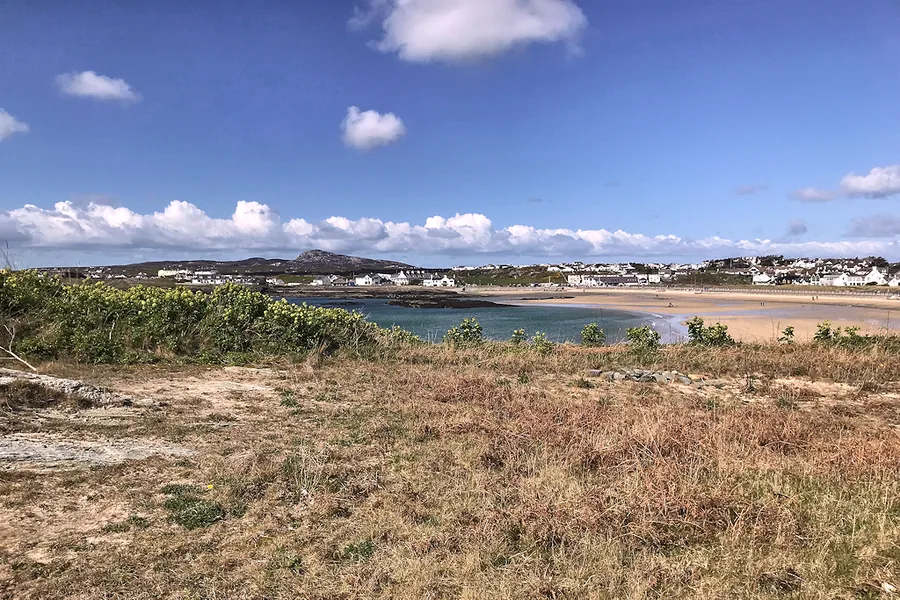
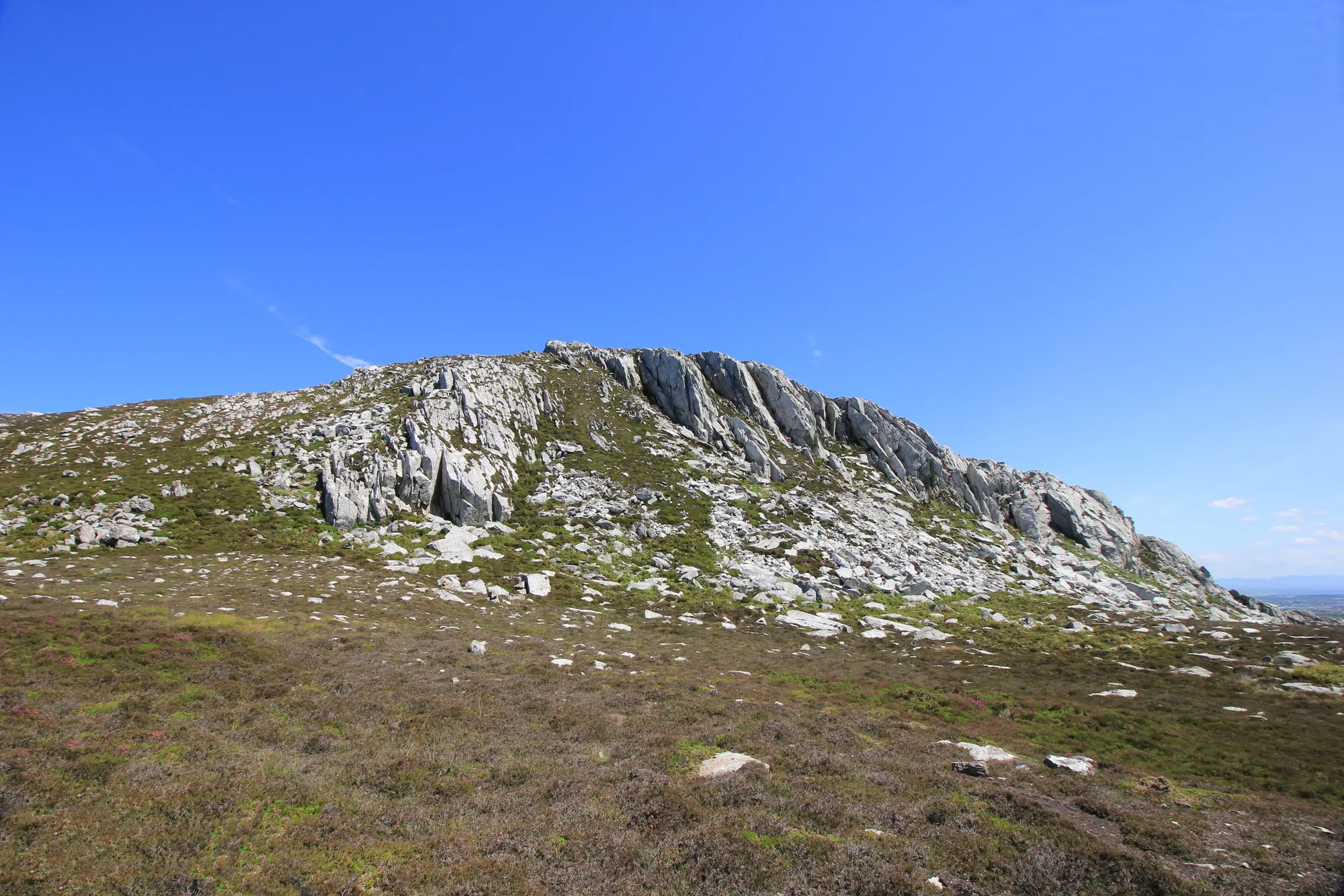
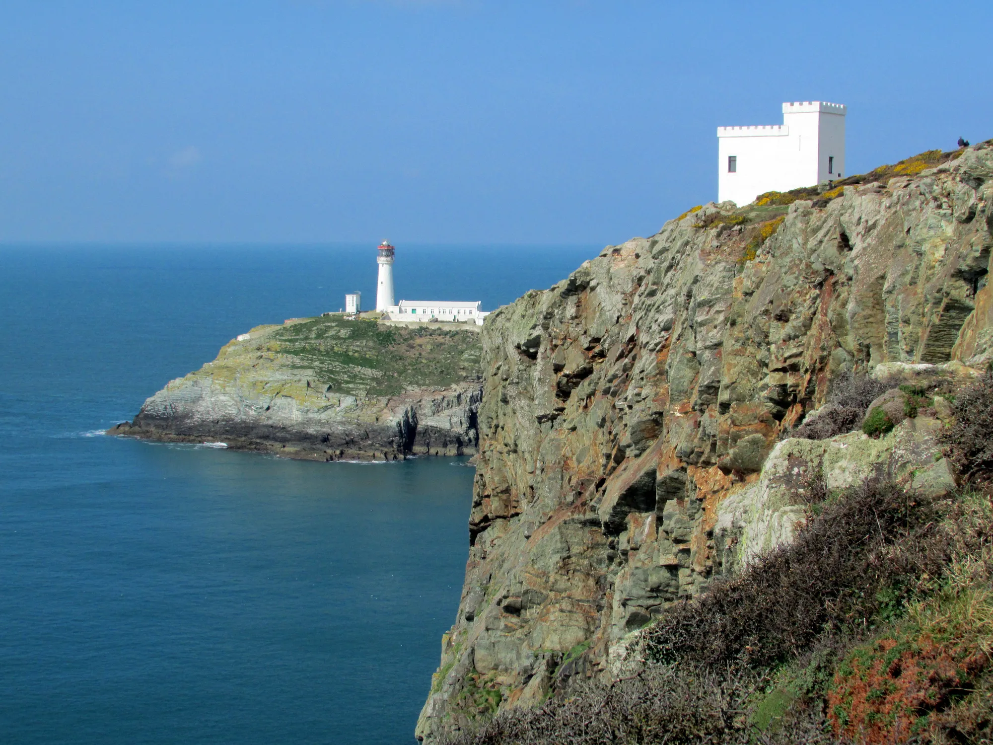
The cove from the south, low headlands either sideThe cliffs that frame the bay on its western sideThe coast path down to the beach, the bay opening aheadA summer afternoon: the small bay at its busiestThe bay from Graig Lwyd, along the coast to the south-east
The parts people remember
Nothing here announces itself. What you take away depends on whether you looked down, looked up, or just sat on the sand.
01
The bay opens between two headlands
The path comes down off the road and the low headlands swing back, leaving one sheltered arc of sand with the whole cove in view at once.
02
The thing underfoot you’ll walk straight over
At the south end there is a shallow dip running across the sand, and a slightly greener line in the soil above it. Almost everyone crosses it without looking down.
03
The rock, not the sand
Dark rock runs along both sides of the bay, and at low water the pools between are where people end up, heads down, working along the margins.
04
Chough on the cliffs
The cliffs on either side hold chough. Worth a look up rather than only out to sea.
05
Small enough to feel full
On a fine summer afternoon the rocks above the sand fill with families and windbreaks, and the bay reads as busy long before a larger beach would. Midweek and off-season it empties again.
It was never meant to be the day. It is very good at being the hour.
Bay Archive
Four field notes on a quiet bay.
A working coast, a wreck, a scientific argument in the rock, and a settlement older than any of them.
Some of this is confirmed by an official source. Some is reported but not independently verified. Both are told honestly here.
Field notes
Four entries. Open one to read the note.
Earth science Fact
A line that once settled an argument
Field note I · filed under geology
Most visitors walk straight over the beach’s own piece of scientific evidence.
What is confirmed
Porth Dafarch is a designated RIGS site (Regionally Important Geological/Geomorphological Site): a Tertiary igneous dyke, 40–60 million years old, crosses the south beach. It has been used to study whether Anglesey’s ancient dyke swarm moved sideways as well as up.
What to notice there
Look for the dyke as a shallow depression running across the sand at the south end of the beach, with slightly richer soil developed along its line.
Ancient settlement Fact
Older than the customs post by thousands of years
Field note II · filed under prehistory
Nothing is signposted, but people were living here long before anyone needed a customs post.
What is reported
A prehistoric settlement of stone hut circles and three Bronze Age barrows sits at the head of the inlet, and one barrow was later reused for Early Christian–period burials. Locally, settlements like this are called Cytiau’r Gwyddelod (“Irishmen’s huts”). First excavated in 1875–76, with further work during 1939 road widening.Cadw-attributed, unconfirmed direct
What to notice there
Nothing is signposted at ground level; the mounds and hut foundations sit low in the grass, easy to walk past without knowing.
Working coast Fact
The Old Customs Post
Field note III · filed under the working coast
A small stone building recalls a time this bay had a working job to do.
What is reported
Built in 1819, the customs post let mail and passengers land here when northerly winds made Holyhead’s harbour unusable. It became redundant once Holyhead’s new harbour was completed in 1873, and stands fenced off today. It is reported as Grade II listed.Single source
What to notice there
The building itself is fenced and not open. Its story is in what it recalls, not what you can see inside.
Storm & record Fact
A steamer’s last voyage
Field note IV · filed under record
The wreck ends offshore, not on the sand; it belongs to divers, not beachcombers.
What is reported
The steamer Missouri ran aground nearby in a snowstorm on 1 March 1886, en route from Boston to Liverpool. The crew survived via a breeches-buoy rescue. A second, independent source corroborates a steamer being driven ashore at Holyhead/Anglesey the same date, though it doesn’t itself name Porth Dafarch.Partially corroborated
What to notice there
The wreck lies roughly half a mile offshore today, a destination for divers and snorkellers, not a beach-day sight.
Don’t let the day end at one beach.
Four stops that turn one cove into a Holy Island day. Distances are approximate straight-line distances.