The span overhead
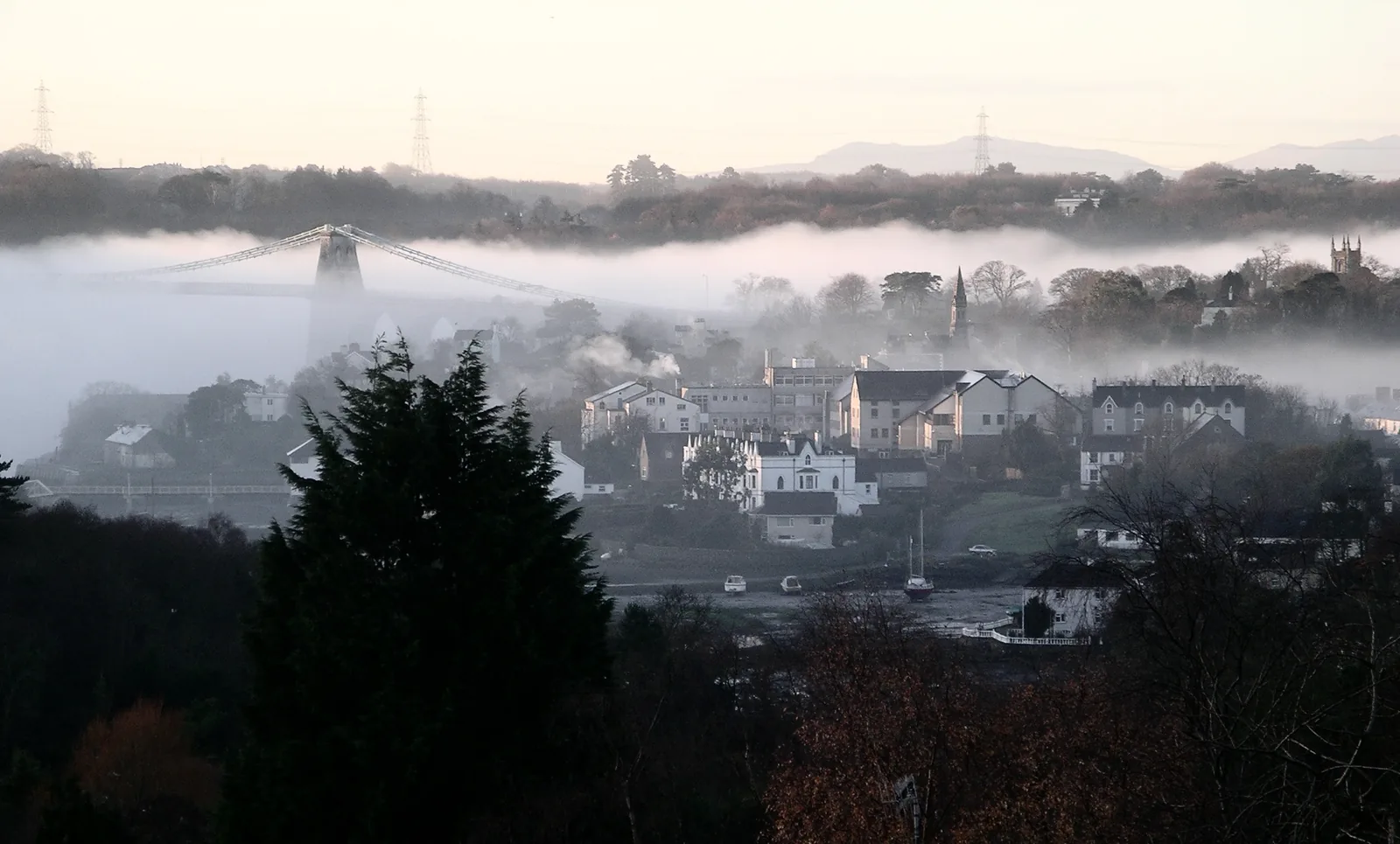
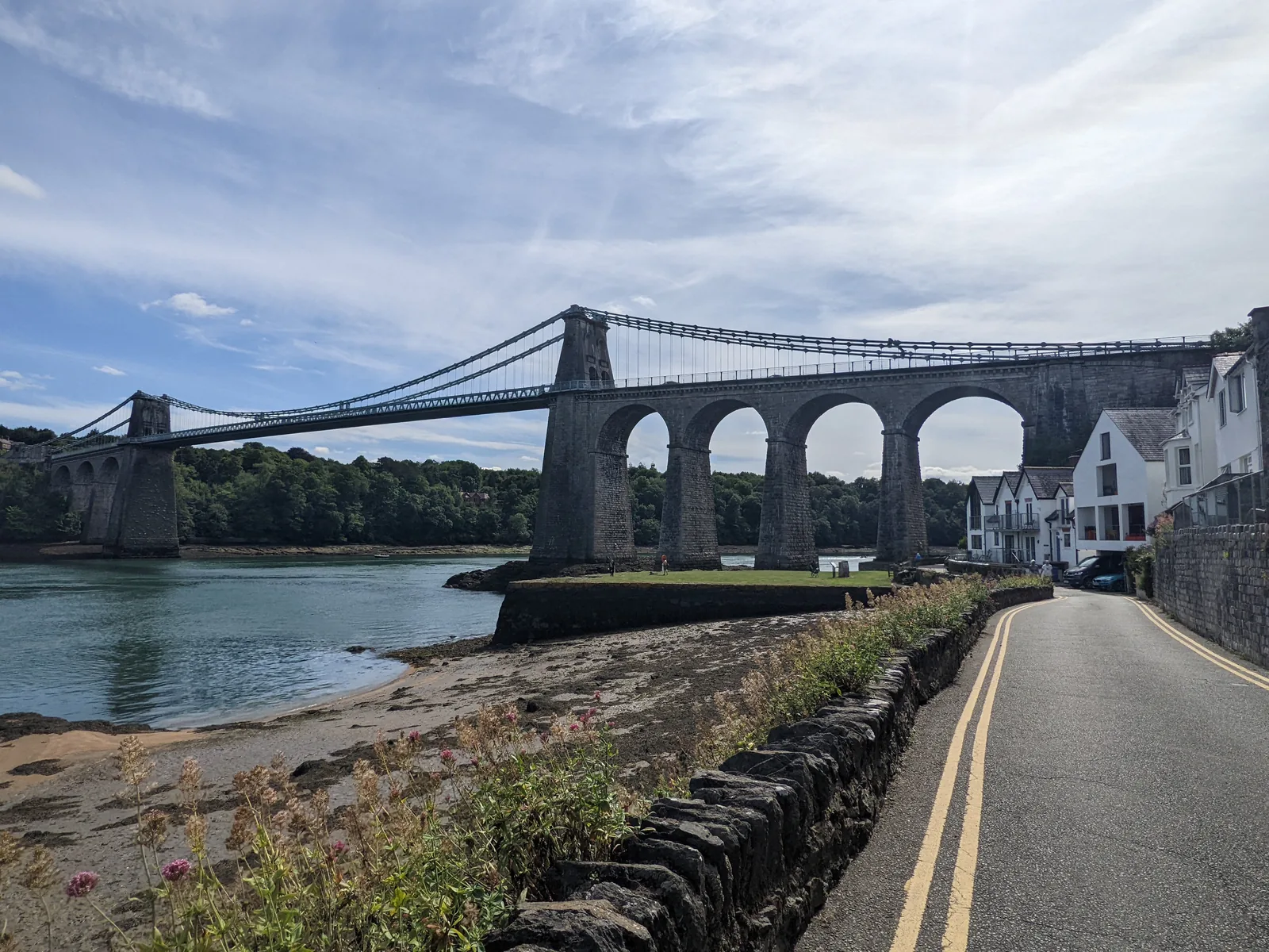
Telford’s bridge ended the ferry and gave the town its name; it still carries traffic, so walk beside it.
Isle of Anglesey · Menai Strait
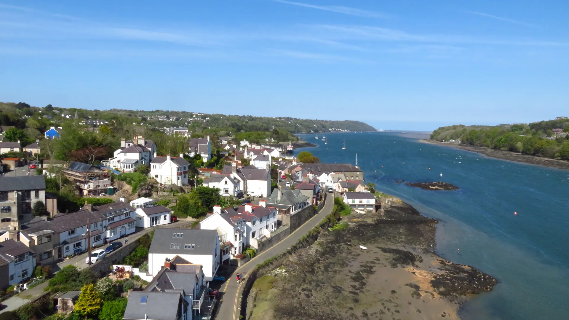
A ferry crossing until a bridge landed on it. What the town has now is two kilometres of shoreline to walk.
01The town
Menai Bridge is the first town on Anglesey for anyone crossing from Bangor, and the bridge is where a visit starts. The shoreline is the spine: the Belgian Promenade runs west to the causeway onto Church Island, then the path turns inland and climbs through Coed Cyrnol to the High Street on the slope above. St George’s Pier extends the same waterfront east.
Most people cross the bridge and keep going. What they pass is not a viewpoint for it but a town the bridge renamed, one that still turns to face the water rather than the road it carries.
Character
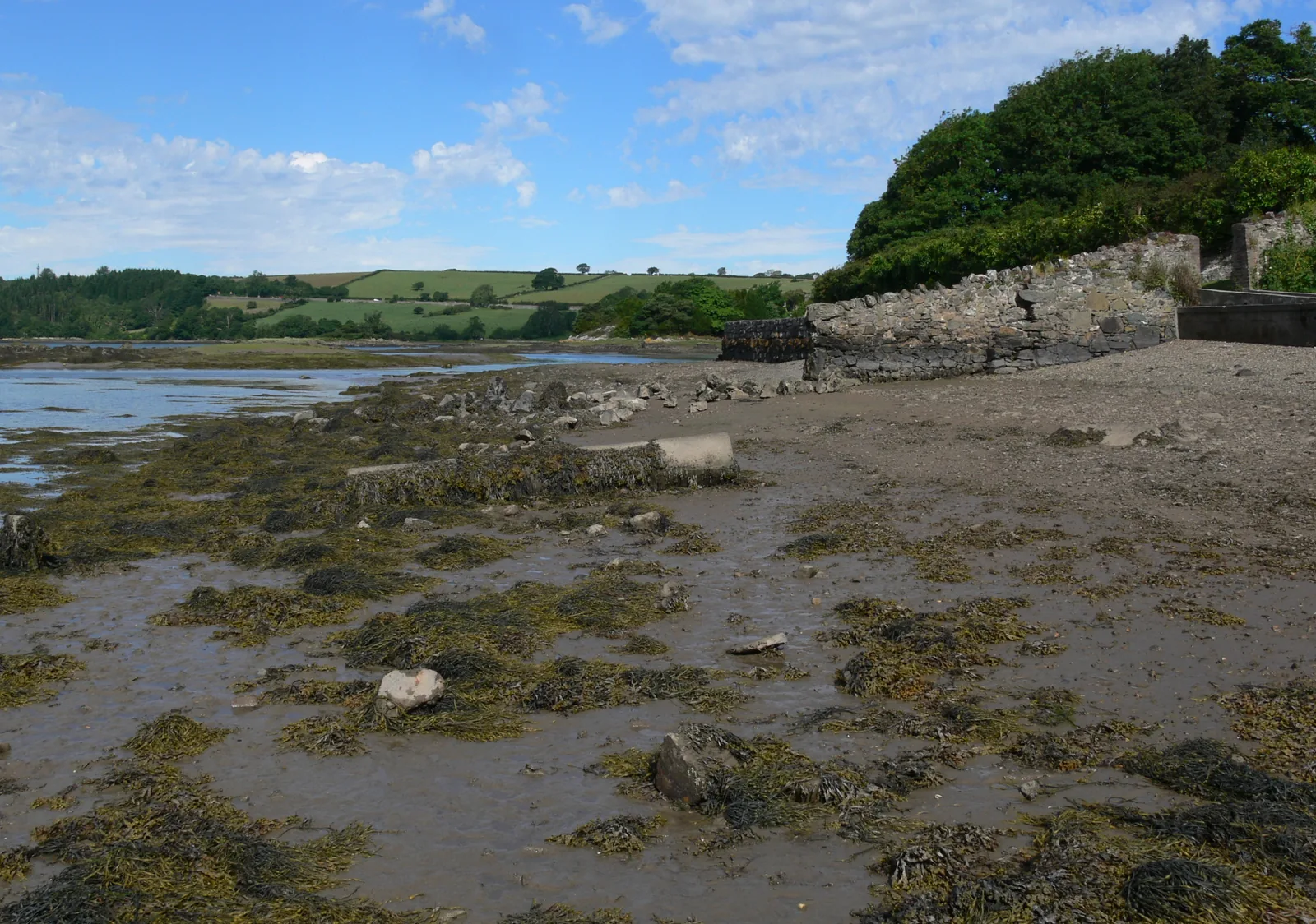
A High Street of independent shops, a bus station, two schools and a Bangor University department on the shore. There is no beach here.
Pace
Every destination in this guide sits within about a kilometre of the High Street, with one woodland climb and one tidal causeway.
Landscape
The channel narrows here to the stretch known as the Swellies, and the town looks straight across it to the Gwynedd shore.
Best for
Best for a short shoreline walk with a tide to plan around, and for a first stop on Anglesey that starts in a street rather than a car park.
02Discover
Telford’s bridge ended the ferry and gave the town its name; it still carries traffic, so walk beside it.
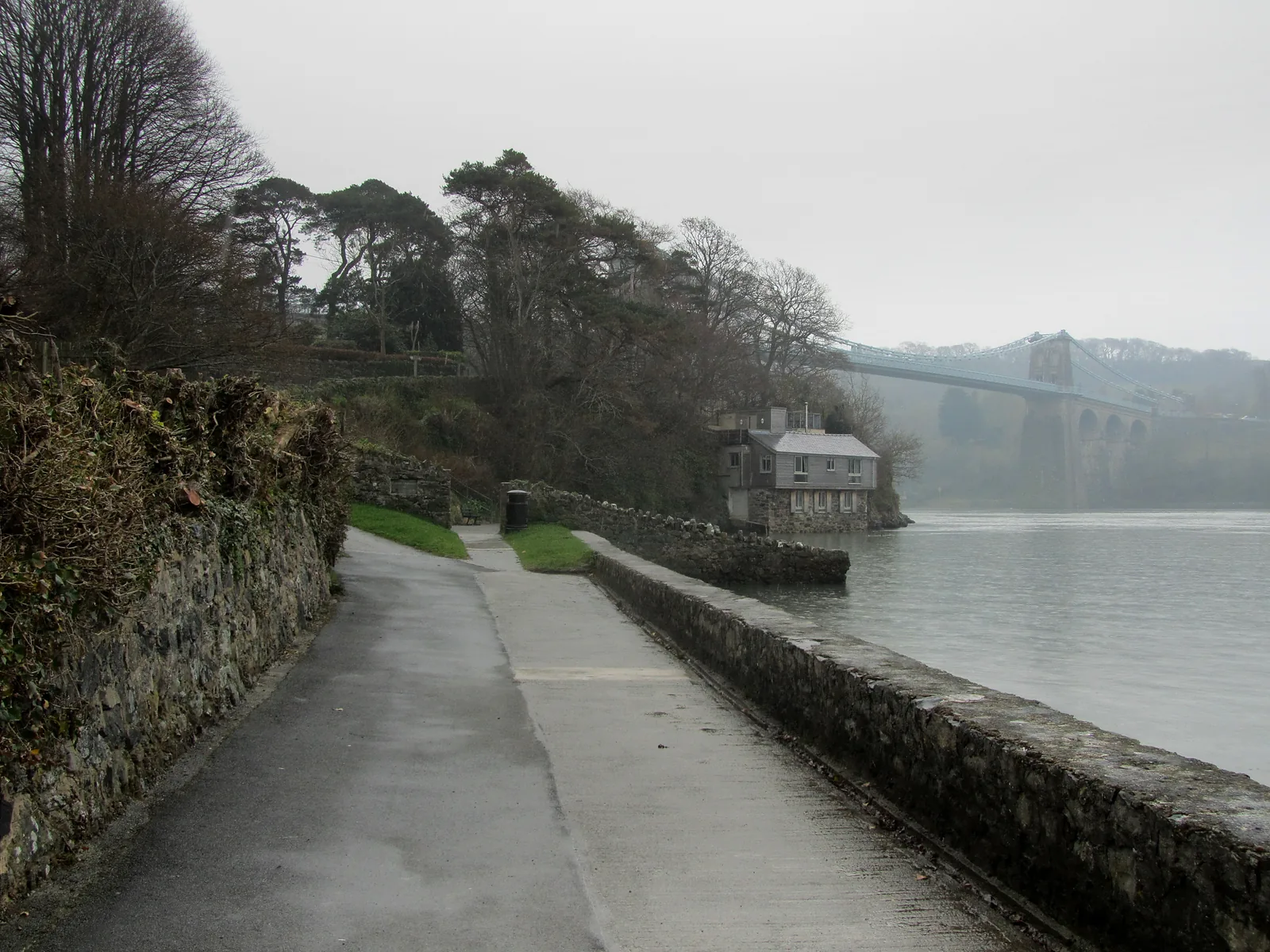
Belgian refugees housed here during the First World War built this shoreline path for the town that took them in.
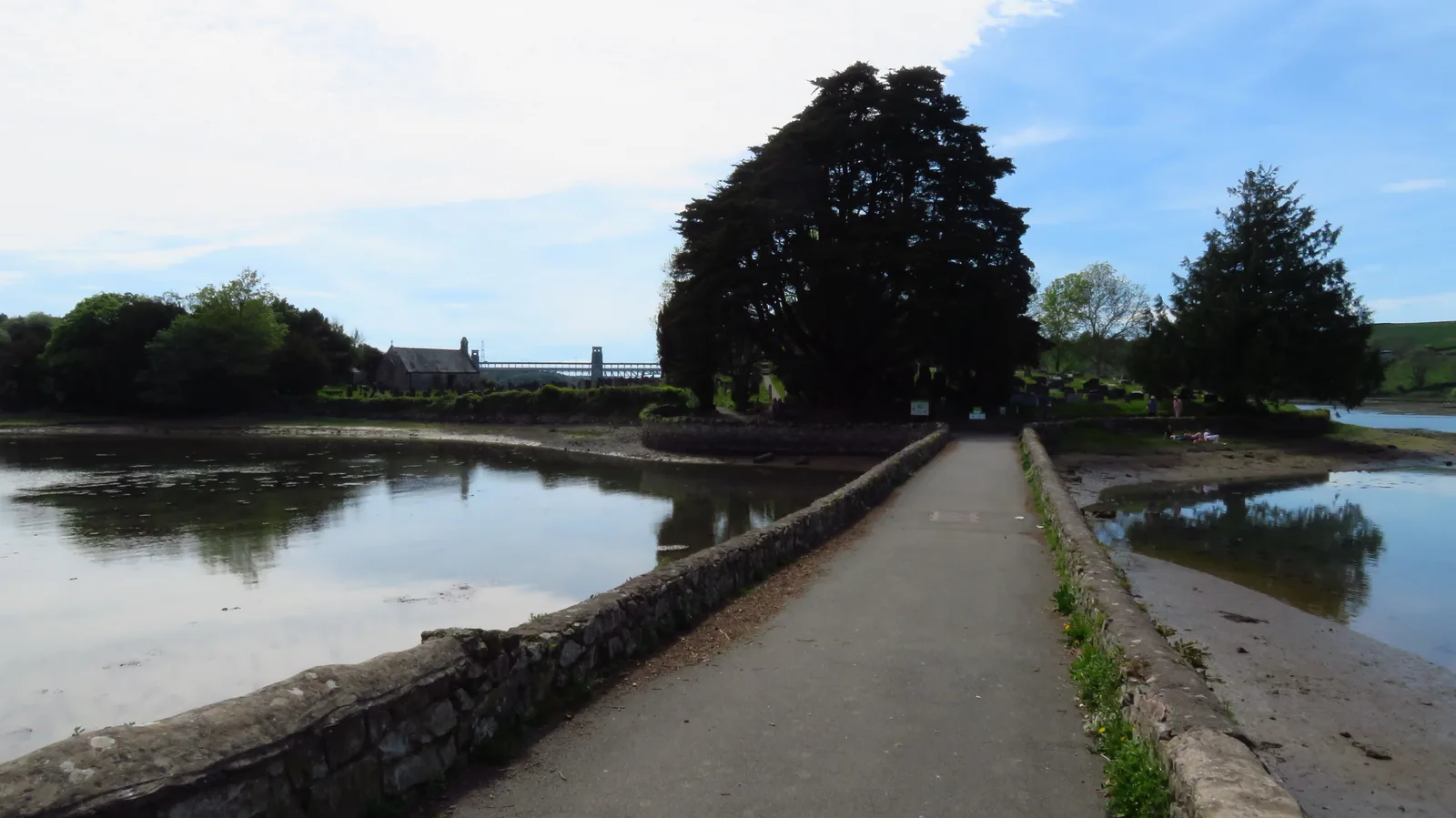
A short tidal causeway runs out to a small island with a medieval church and its burial ground.
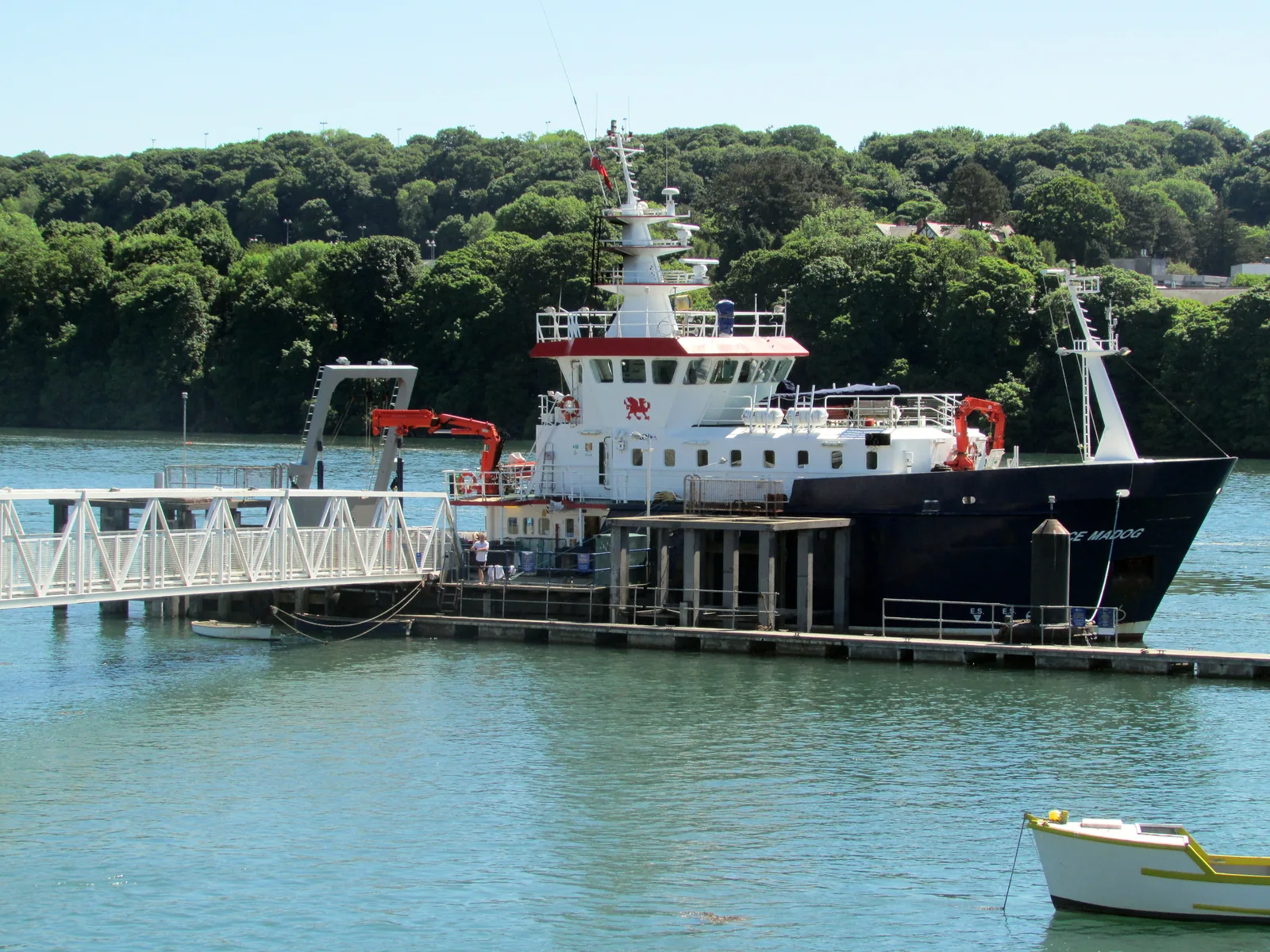
Liverpool steamers once landed day-trippers here; a university research vessel berths at the pier now.
Beyond the first defining moments, the fuller Menai Bridge catalogue continues below.
The High Street sits on the slope; everything else runs along the water below it. Seven stops, all within about a kilometre of the town centre.
No verified image yet
The Menai Suspension Bridge
About 600 m south of the High Street, at the bottom of the town. A live trunk road.
Seven destinations within about a kilometre of the town centre: a Grade I bridge, a working pier, the High Street, the town’s own museum, a pine-wood nature reserve, an island churchyard and the shoreline promenade that links them. No restaurants, pubs or shops are listed here; see Local life for the town’s everyday character.
Heritage
Stand under the stone towers and you are on the reason the town exists. Telford’s span replaced a ferry, and it still carries the A5 across.
Check current road status (opens in a new tab)Waterfront
A working pier rather than a pleasure one, proof the bridge never ended the sea traffic. Look for the university research vessel alongside.
Street
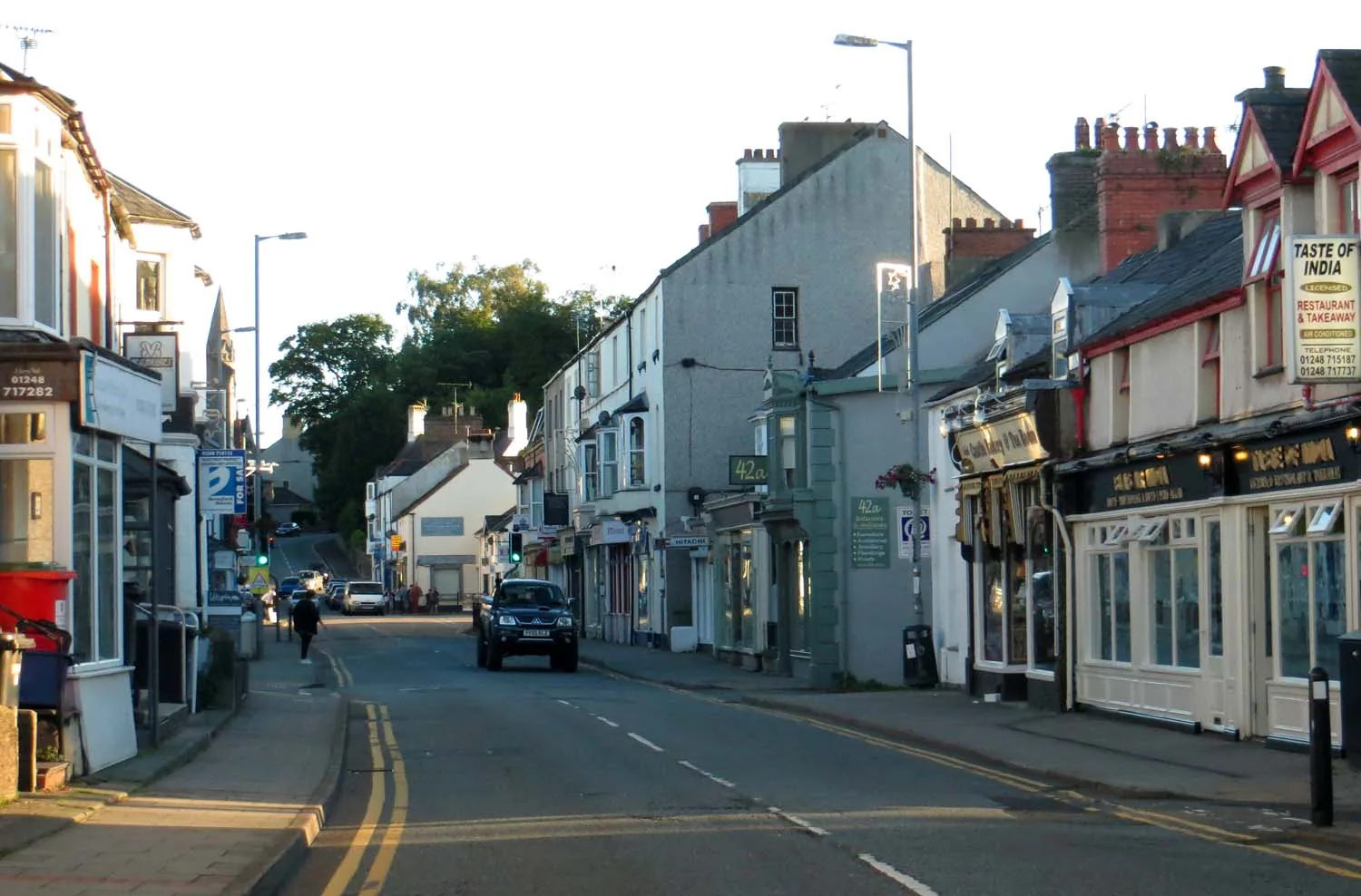
The part of Menai Bridge that is simply a town: food shops and places to eat. The car park behind is the old fair field, reclaimed once a year.
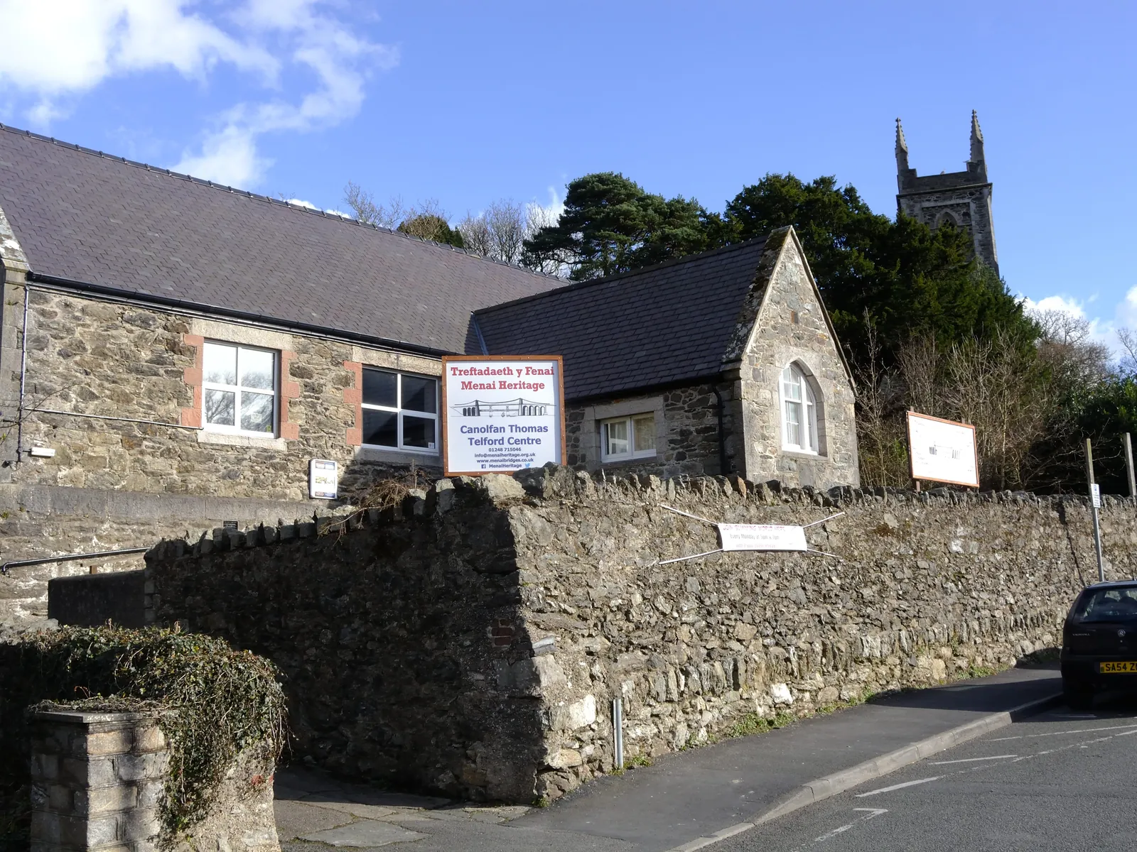
Seasonal museum
The one place that explains both Strait crossings, from the town living between them. A local trust runs it, and it opens on very few days.
Check opening times (opens in a new tab)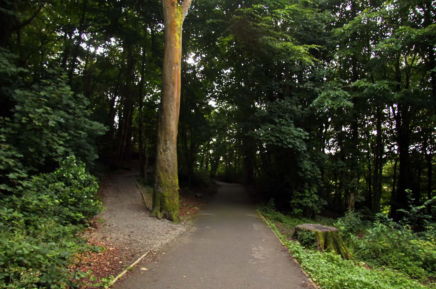
Nature reserve
Mature Scots pine and a soft path, minutes from the High Street: a nature reserve inside a town, and the half of the walk that isn’t shoreline.
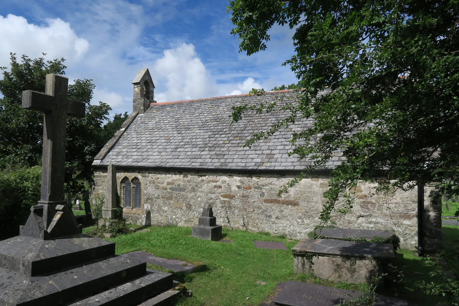
Working church
Cross the causeway and the whole island turns out to be a churchyard, with a low medieval church at its centre. Only reachable when the tide allows.
Check tide times before you cross (Beaumaris station) (opens in a new tab)Shoreline path
A level walled path at the water’s edge, built by Belgian refugees for the town that took them in. A thank-you note you can still walk along.
The town museum opens on only a handful of days each season, and its admission is set by the trust that runs it, so confirm current details before you build a visit around it.
Menai Heritage opening times03Story
Porthaethwy means the port of the Dindaethwy, the tribe whose name the crossing carried. Six hundred years of that crossing, then a bridge, then a pier, then a promenade, then a shipwreck: the same channel each time.
Boats crossed from this shore for centuries before anything was built here; the earliest record of the ferry is 1292, and it is the ferry, not the bridge, that the Welsh name still remembers.
Thomas Telford’s suspension bridge opened with a 176-metre main span, high enough for ships to pass beneath. It ended the ferry, gave the settlement its English name, and turned a landing place into a town.
The bridge did not end the sea traffic. St George’s Pier was built for the St George Steam Packet Company, and the present shorter pier opened in 1904 as the western terminal for the Liverpool and North Wales Shipping Company.
Belgian refugees from Mechelen were housed in the town during the First World War. They built a promenade along the shore from Church Island for the community that took them in, finishing it in 1916; it was rebuilt in the 1960s.
HMS Conway, a naval training ship moored in the Strait, ran aground here in 1953 while being towed out through the Swellies, and burned to the waterline during removal in 1956. Bangor University’s School of Ocean Sciences works on the same channel today.
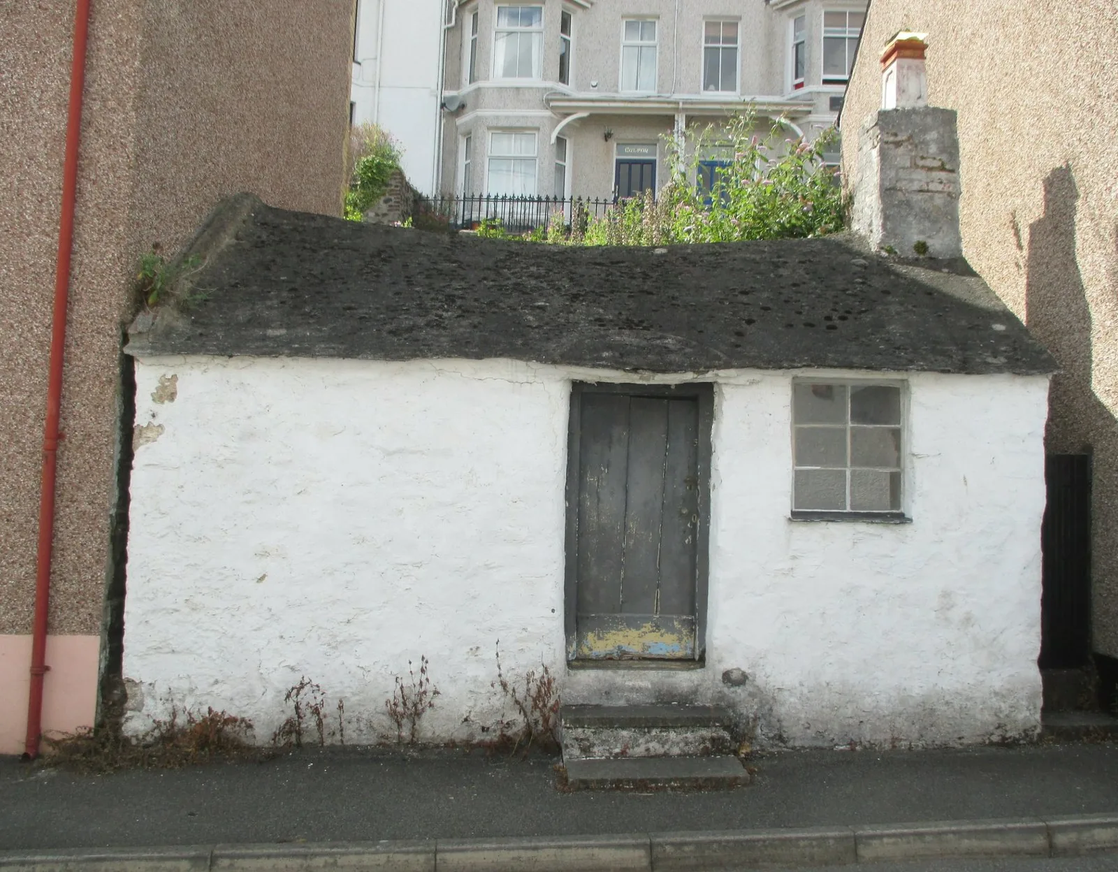
Cambria Ferry House, on the shore below the town, a building still named for the crossing the bridge put out of business.
Atlas of Wales
Menai Bridge holds a bus station, a primary and a secondary school, a bank of chapels, and one of Europe’s larger university marine-science departments, all inside a town of a few thousand people. Independent food shops, cafés and places to eat cluster along the High Street; the Wales Coast Path calls it bustling, and that is about right.
The one date the town keeps to itself is 24 October, when Ffair Borth takes over the car parks behind the High Street. A fair has been held here since the 1680s, when it traded livestock rather than fairground rides.
If you are here on 24 October, park further out; the fair takes the town-centre car parks.
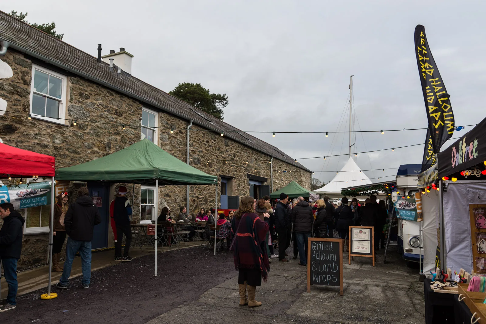
Food shops, cafés and small independents sit along a street that residents use for the ordinary business of the week, not only for a visitor stroll.
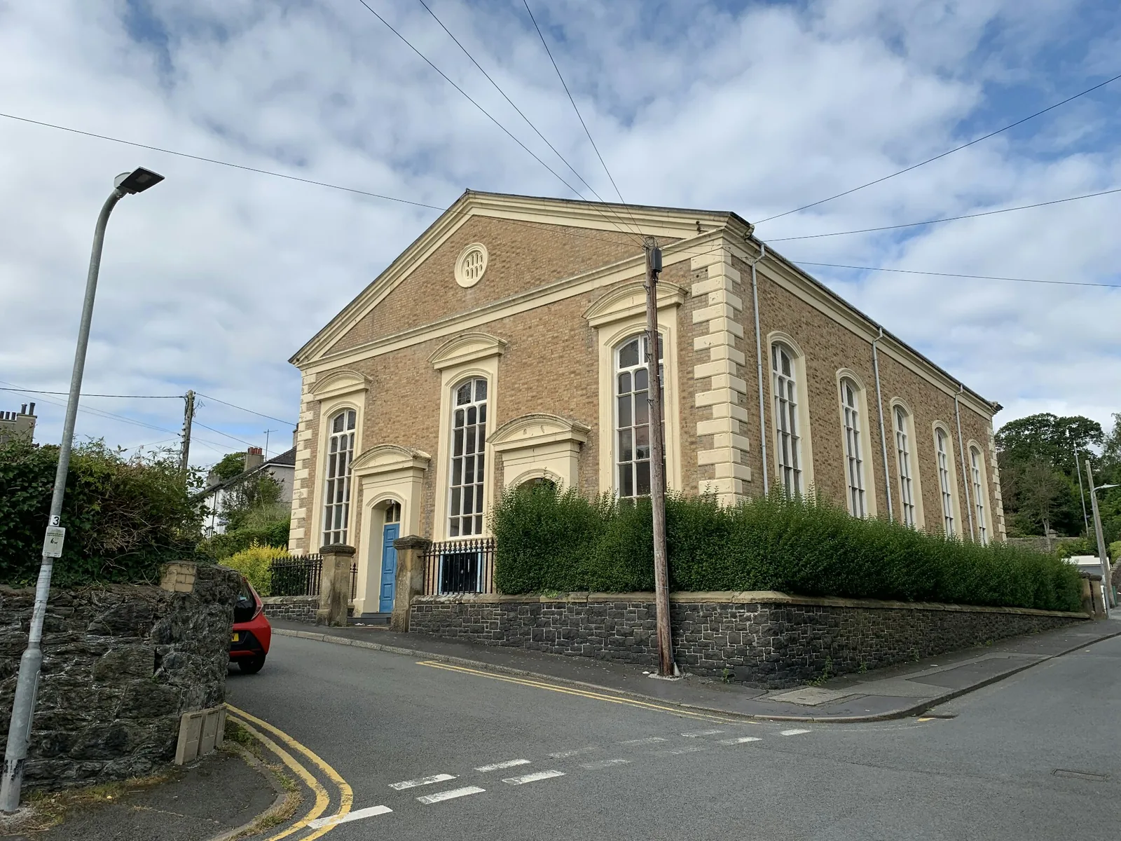
The chapels are the largest buildings the town put up for itself. Capel Mawr is the plainest illustration of how much the place grew after the bridge arrived.
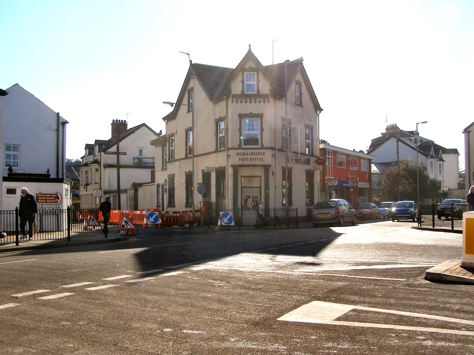
The museum is seasonal; the town is not. Schools, shops, the bus station and the university department keep it going through the quieter months.
The town in one walk
The town does its business on the slope and keeps its walking down at the water. Start at the top, drop to the shore, and the whole place makes sense in the order you meet it.
Plan your time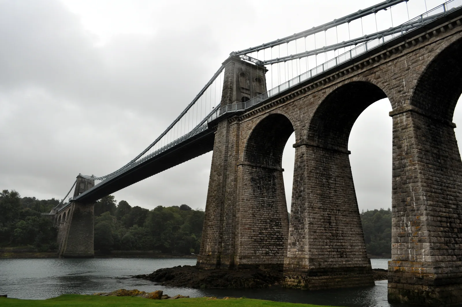
Porthaethwy: the port of the Dindaethwy. The town’s Welsh name never stopped being about the ferry.
Atlas of Wales
04Plan
The car park behind the High Street, or Mona Road.
Walk to the foot of the town and out under the span.
The refugees’ path, level all the way, with the channel beside you.
Read the tide, then walk the promenade back the way you came.
Park at the top, then walk down towards the water.
The bridge from below, then turn west onto the shore.
Level walking at the water’s edge, all the way to the island end.
Check the tide, cross the causeway, and give the island its quiet.
The one climb of the day, under Scots pine, back to Mona Road.
Check it is open before you travel; Mona Road parking is beside it.
Coed Cyrnol drops from Mona Road towards the shore.
Cross while the causeway is clear, then come straight back.
The refugees’ path back towards the bridge.
Continue past the bridge to the working waterfront and the research berth.
Something to eat where the town does its own shopping.
Practical
Everything you need for arriving and getting around.
Getting here
The A5 runs through the town off the A55, over either bridge. Five car parks: four council ones around the High Street, and Coed Cyrnol on Mona Road for the shoreline walks.
Open the Mona Road car park in MapsSeveral Bangor–Anglesey routes call at Menai Bridge bus station in the town centre, among them route 4 and route 62. Check the current service before travelling. There is no railway station here; the nearest are Bangor and Llanfairpwll.
Route 4 timetablePractical details
Five car parks — four county-run around the High Street, and Coed Cyrnol, run by the town council, for the shoreline walks.
Check the council car parks listingCharges and restrictions can change. Check the signs when you arrive.
Bulkeley
Town centre · off the High Street
Google Maps (opens in a new tab)Wood Street
Town centre · Wood Street
Google Maps (opens in a new tab)Llys Menai
Town centre · short stay
Google Maps (opens in a new tab)Y Waun
North of the centre · Y Waun
Google Maps (opens in a new tab)Coed Cyrnol
By Coed Cyrnol · for Church Island
Google Maps (opens in a new tab)Council-run public toilets by the library, open all year, unusual on Anglesey, where most are seasonal.
Check the council public toilets listingBy the library, LL59 5AS
All year
The causeway to Church Island is tidal. Check the water before you cross, and before you count on crossing back.
This stretch of the Strait is the Swellies. The Wales Coast Path’s own officer describes it as one of the most difficult passages of water to navigate in the British Isles: a shoreline to walk beside, not to enter.
Tidal · no tide times are published here; read the water on the day
Level and open, and the safe version of this walk whatever the tide is doing
No accessibility information is published for any destination in this guide.
Published accessibility information is limited, so plan on the ground conditions: the promenade is level, Coed Cyrnol involves a climb on woodland paths, and the causeway is a tidal crossing. Contact the council or Menai Heritage directly if this matters to you.
Level · surface not confirmed
A climb, a tidal crossing, and a historic building · none confirmed for access
The council’s seasonal dog order covers seven named Anglesey beaches. Menai Bridge is not one of them, and the town has no beach.
That confirms the order’s scope, not permission. Nothing published sets out dog rules for Coed Cyrnol, the churchyard on Church Island or the promenade, so keep dogs under control, clear up, and treat the churchyard as somewhere to ask about rather than assume.
Red squirrels are recorded along this route. Coed Cyrnol is a nature reserve, so keep dogs close through the wood.
Everything in this guide is walkable from any of the town-centre car parks. Only the museum has a gate on it.
Use Menai Bridge as a first stop
Four real Atlas destinations pair with a Menai Bridge visit. Distances are straight-line from the town centre, not driving times.
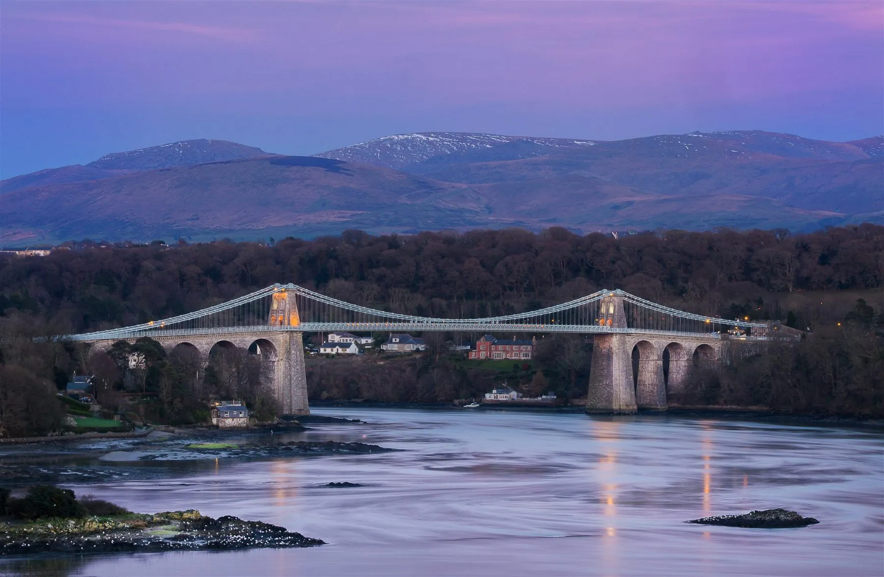
A graceful Telford bridge carrying the drama of the Menai Strait between island and mainland.
About 0.4 miles south (straight-line)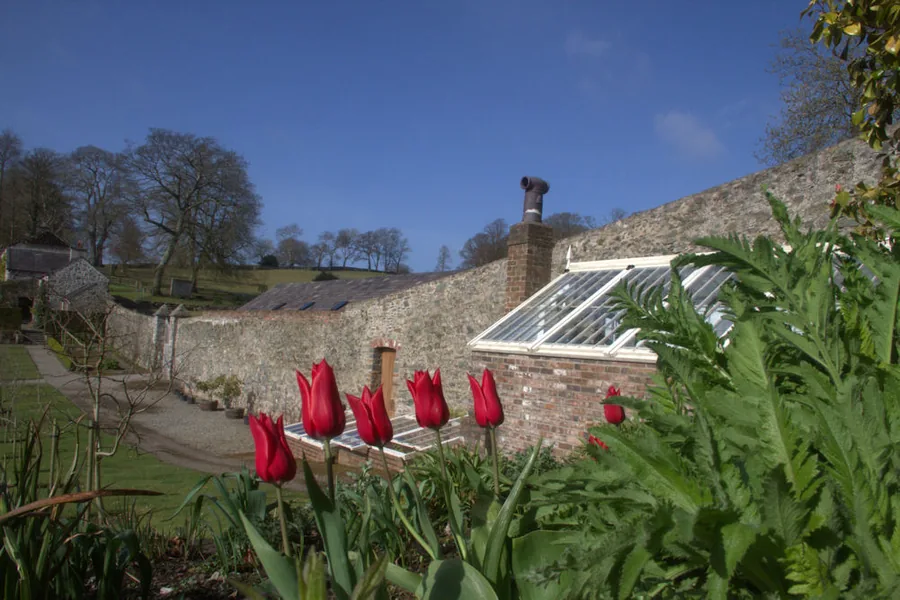
A restored garden in a wooded valley just up the road: a walled garden, a river and three waterfalls, on set open days only.
About 0.7 miles north (straight-line)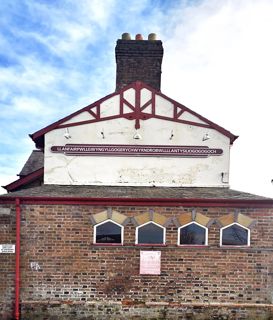
The next town west, at the Britannia Bridge: the other Strait crossing, a 58-letter station sign, and a station Menai Bridge does not have.
About 1.6 miles west (straight-line)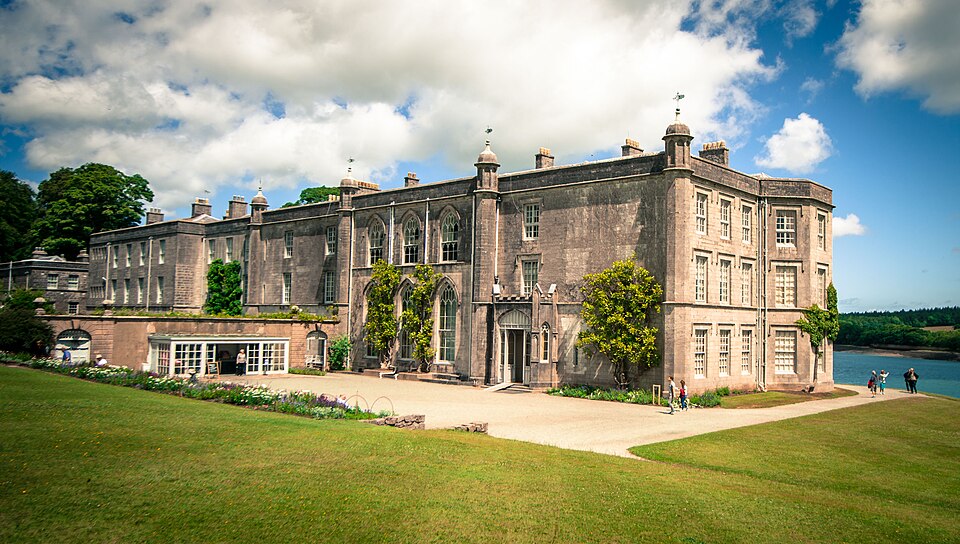
A National Trust house and terraced garden on the same Strait, a few miles down: the wide, calm view of the water this town only glimpses.
About 2.7 miles south-west (straight-line)Before you go
Two kilometres of it, from Telford’s span to a churchyard the tide can cut off.