Get the tide, start point and timing right, and Llanddwyn feels effortless.
CHECK FIRST · TIDE
Llanddwyn feels cut off because it is tidal. Check tide times for Llanddwyn before crossing onto the island, and don’t rely on guessing from the beach. Met Office, reading from the Llanddwyn Island station 1.3 miles away.
Time needed
3–4 hours
Best time
Golden hour
Opening, entry & booking
Open access, free, no booking · car park charged, 6am–11:59pm
Access & difficulty
Moderate · 4.4 miles / 7 km
Parking & start point
Beach car park
Getting there
Bus 42 to Newborough village, then ~2½ miles on foot · hard without a car
Toilets, food & facilities
Beach car park only · seasonal vans · bring your own
Dogs
Seasonal restrictions (Apr–Sep)
Plan with confidence.Detailed information on arrival, access, facilities, restrictions and local conditions.
Opening, entry & booking
The reserve
Newborough National Nature Reserve is open access and free to enter. There is no ticket, no gate and no booking; what you pay for is parking.
Vehicle access
The forest road through to the Beach car park operates 6am–11:59pm. No overnight parking.
The real gate is the tide
Ynys Llanddwyn is a tidal island. Being able to park is not the same as being able to cross. The island is cut off at high water regardless of whether the reserve is open.
Booking
None for general visits. The free beach wheelchair is the exception and must be booked by email, allowing three working days.
Brown-and-white “Ynys Llanddwyn” signs from Newborough village. Postcode LL61 6SG only covers a wide area. The Beach car park is about 1¼ miles past the entrance barrier, at the end of the road.
Charges
Daily 6am–11:59pm. Drop-off under 30 min free · up to 2 hrs £5 · then £0.70 per extra 20 min · all day £15. No overnight parking.
Payment
Contactless machine, the RingGo app/website, or phone. No cash, and you must pay by midnight on the day of your visit.
Busy window
Often full between 11am and 3pm on spring and summer weekends and Bank Holidays.
Avoid
Arriving late morning on sunny days.
Public transport & car-free access
By bus
Service 42/42A (Bangor–Llangefni via Menai Bridge, Llanfairpwll, Brynsiencyn and Newborough, operated by O.R. Jones) stops on the main street in Newborough village. Service 54 also links Llangefni and Newborough on a smaller number of journeys.
Frequency
Roughly every 90 minutes Monday to Friday, and only a handful of journeys on Sundays, so check the day you travel before relying on it.
The gap the bus leaves
The stop is in the village, not at the beach: about a mile to the forest, then another mile and a half down the forest road to the Beach car park. Allow an hour each way on foot on top of the walk itself.
By train
Bodorgan, on the Holyhead main line, is the nearest station, an unstaffed request stop about four miles from Newborough village, with no onward bus connection timed to it.
Verdict
Possible without a car, but it is a long day. A car or taxi for the final stretch makes the difference.
At Beach car park only, none on the island. Usually about 8am–6pm in summer, 8.30am–4pm in winter.
Food vans
An ice-cream van and a catering van may be at the car park roughly 11am–4pm: weekends 1 April–30 September, and daily during the school summer holidays, weather permitting.
Plan ahead
Bring your own food and water; don’t rely on the vans.
Accessibility & terrain
At the car park
Accessible facilities near Beach car park, plus a Mobi-Mat over the dunes for better beach and coast views.
Beach wheelchair
Free to hire from Beach car park, but book by email and allow three working days for a reply.
The island walk
Sand, uneven ground and exposed coast with no facilities, and not suitable for most wheelchairs or pushchairs.
Dogs & restrictions
On the island
Short leads and marked paths only, 1 April–1 September, to protect ground-nesting birds.
On the beach
No dogs 1 May–30 September on the Blue Flag beach; wider Anglesey beach restrictions run the same dates.
On arrival
An information panel and map at Beach car park shows the current restrictions.
Safety, weather & local conditions
Tidal crossing
Reachable at low tide and cut off at high. An incoming tide can rise quickly. Plan around low water, avoid crossing close to high tide, and if you are unsure, do not cross.
Underfoot
Watch for soft, sinking mud and sand around the estuary. There is no lifeguard service on the beach.
Signal
Patchy, so save tide times and route information before you set off, and carry a charged phone without relying on signal. Check tide times for Llanddwyn on the Met Office, which reads from the Llanddwyn Island station 1.3 miles away.
Emergency
If you are trapped or in danger, call 999 and ask for the Coastguard.
PLACE-SPECIFIC DETAILS
Route & waymarking
Route
Saint, Sand and Sea Trail: a signed path through Newborough National Nature Reserve.
Waymarked
Yes, throughout.
Footwear & exposed conditions
Footwear
Sturdy shoes or walking boots recommended; the path crosses sand and uneven ground.
Weather
Exposed coastal route with no shelter along the way.
What to bring
Water
Snacks
Windproof layer
Suitable shoes
Charged phone
Tide times saved
Dog lead if needed
Camera/binoculars optional
Don’t come here for the lighthouse.
Come for the moment the forest falls behind you, the sea opens on both sides, and the island feels cut loose from the rest of Wales.
Llanddwyn feels remote long before it is ever difficult. The slow reveal is the whole point.
Give yourself a wide tide window, then slow the walk down: beach, dunes, crossing, island, and return without rushing.
The walk begins gently. The island reveals itself slowly.
One walk, seven scenes.
See the shape of the visit before you commit to it.
01 Forest
Pine shade. The sea still hidden.
02 Dunes
The trees fall away.
03 Beach
The landscape suddenly opens.
04 Island
Cross only when the tide allows.
05 Ruins
Church ruins and Dwynwen’s story.
06 Lighthouse
Views to Eryri and the Llŷn.
07 Sunset
The reason people stay longer.
Seen along the way.
Sand, rock, light and water: the visit before you make it.
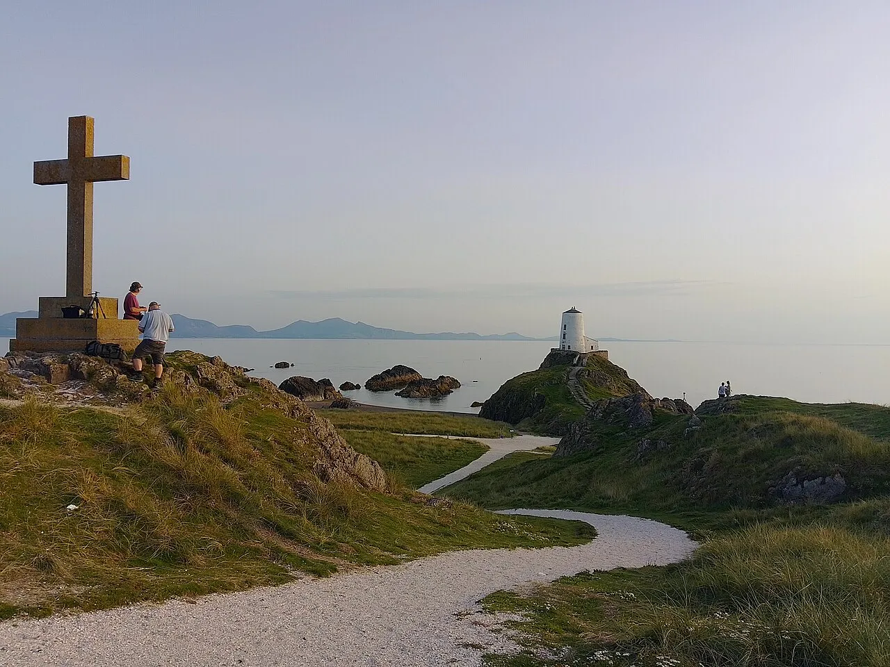
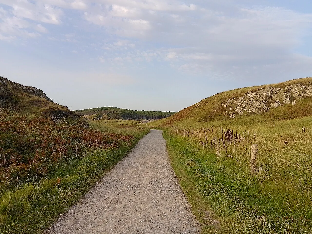
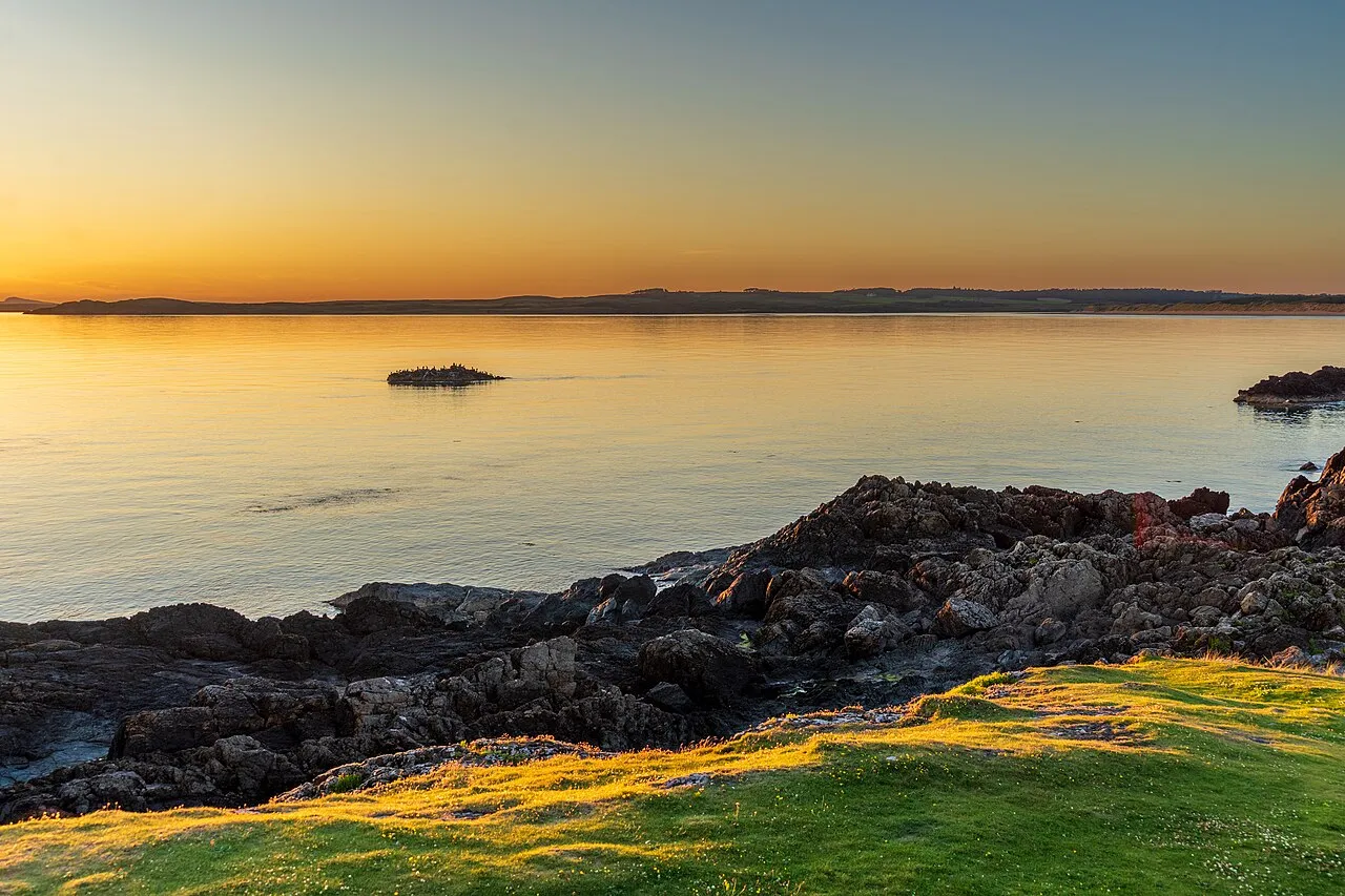
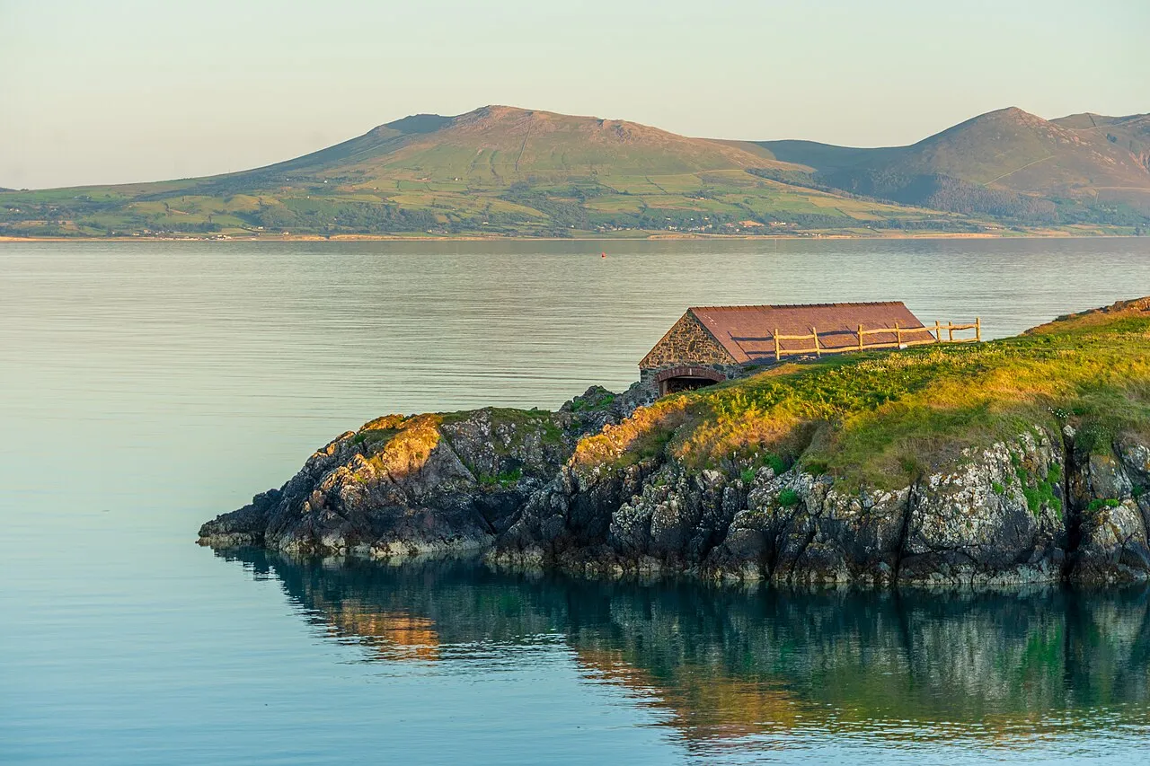
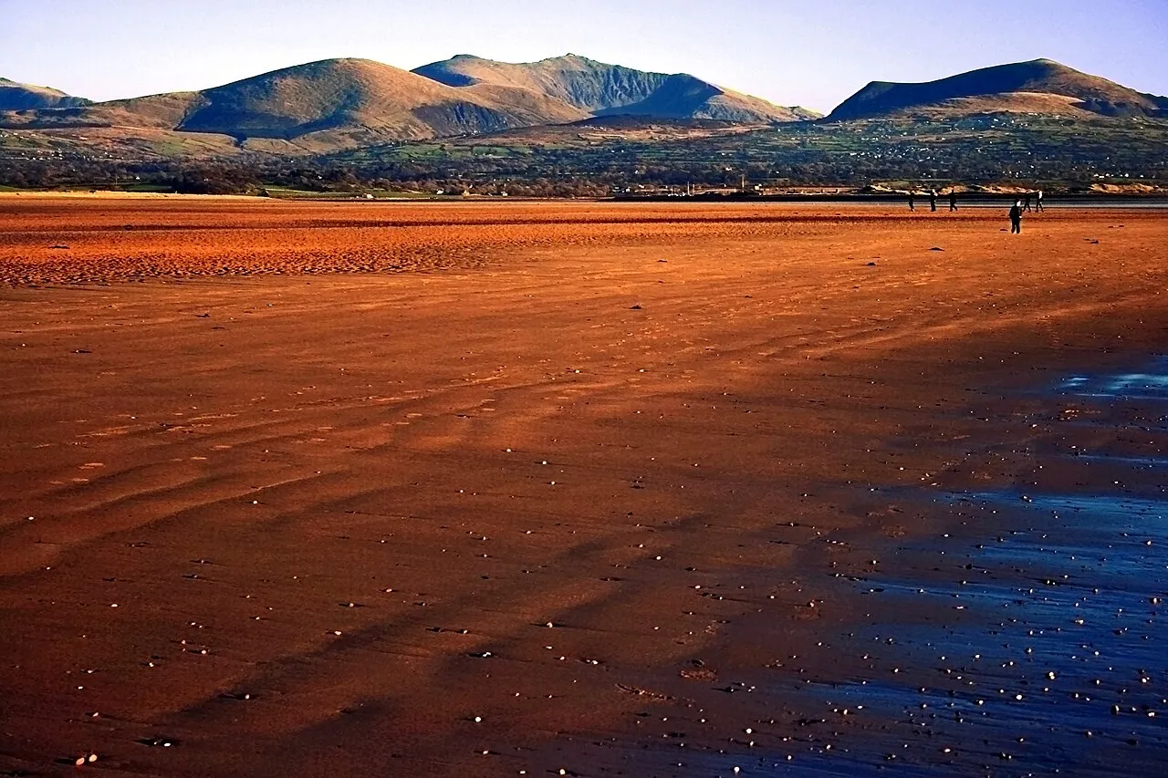
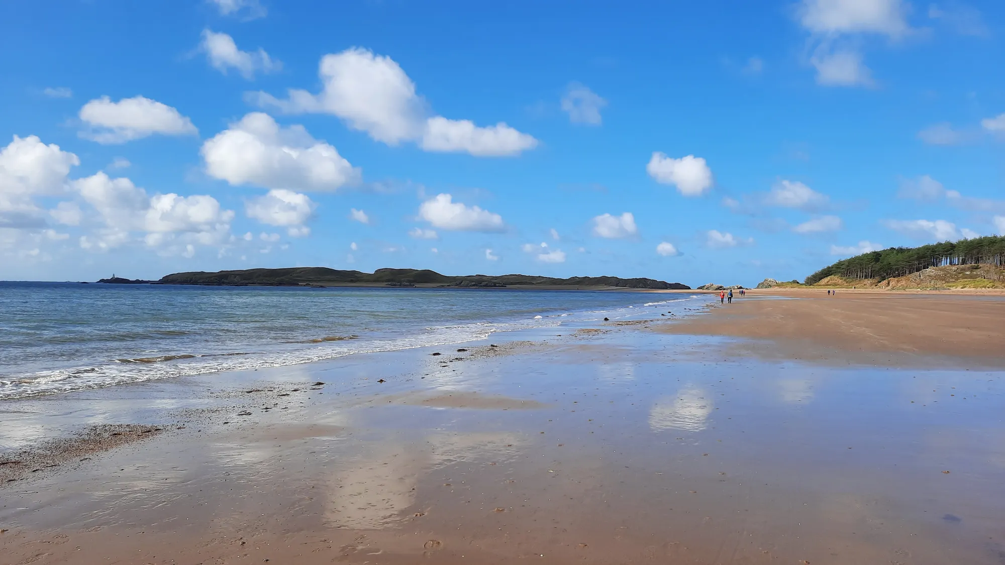
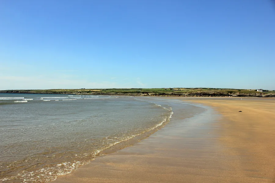
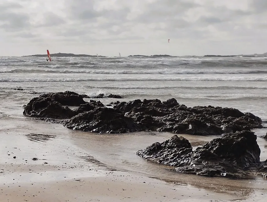
The western shore at golden hour: the reason people stay longer than plannedThe pilot’s boathouse: a working coast, not a scenic backdropThe footpath across the island: between dunes, rock and seaTŵr Mawr and the memorial cross: the island’s two landmarks at duskYnys Llanddwyn beach: wide amber sand, Snowdonia beyond the strait
The parts people remember
Llanddwyn is not one view. It is a sequence of small changes.
01
The forest releases you
The walk out goes through pine, and for most of it there is no sea at all. Soft sand underfoot, shade, and much the same view in every direction. Then the trees thin, the light gets brighter and flatter, and you know the coast is close before you can see it.
02
The beach changes the scale
Out of the trees it opens all at once. Dunes behind you, a long run of sand ahead, and Eryri sitting across the water. The island is in view the whole way and looks close enough to reach quickly. The sand says otherwise.
03
The chapel pause
After a long stretch of open sand, this is the first thing on the island built at human scale, and the walk stops without anyone deciding to. There is no roof and no shelter, so it stays a pause rather than a rest. The memorial cross stands a little further on.
04
The look back
The path runs out towards Tŵr Mawr, so for most of the way your back is to half of it. Turn round near the far end: beach, dunes, mainland and Eryri have rearranged themselves behind you, and they keep shifting as you move.
05
The return light
Nothing on the way back is new, and it still does not read as the same walk. The water has moved while you were out on the island, and the light is coming from somewhere else. Same path, later hour, different walk.
The island stays with people because it unfolds slowly.
Island Archive
Old stories, carefully told.
Four field notes on what this island means: history, folklore, memory, and the traces still on the ground.
Some of this is history. Some of it is folklore. Both shape the feeling of the island.
Field notes
Four entries. Open one to read the note.
Heritage & memory Heritage
Saint Dwynwen
Field note I · filed under heritage
The island carries a saint’s name, and a reputation for love it never tries to live up to.
What is known
Llanddwyn means “the church of Dwynwen.” She is honoured as the Welsh patron saint of lovers, and her feast day (Dydd Santes Dwynwen) falls on 25 January.
What tradition says
She is remembered as a woman who withdrew to this island for a life of devotion after a love that could not be. The details belong to legend, not record.
What to notice there
The romance is in the name, not the scenery. What is actually here is wind, stone, sand and sea, and the chapel ruins that still carry her dedication.
Stone & age Fact
The ruined church
Field note II · filed under fabric
Before the lighthouse, before the walk, people were coming here to worship.
What is known
A ruined church stands on the island, the ecclesiastical heart that gave Llanddwyn its name. People were here long before this became a scenic walk.
What tradition says
It is tied to Dwynwen’s foundation, though the fabric you see is later. Its full history is not settled.Dating · records unclear
What to notice there
Roofless walls, open to the weather, frame the sea. Nearby, the memorial cross gives the headland its second, quieter landmark.
Working coast Working history
Pilots, lights & dangerous waters
Field note III · filed under the working island
Long before it was scenery, this was a workplace at the edge of dangerous water.
What is known
Two towers (Tŵr Mawr and Tŵr Bach) and a row of pilot’s cottages mark a working landscape. People lived out here to watch the water, read the weather and guide vessels through difficult channels.
What tradition says
The island, people said, earned its lights. That work is remembered in the place names more than on any plaque.
What to notice there
The two towers still stand against the sky; the pilot’s boathouse clings to its rock; the cottages hold the headland. At dusk, Tŵr Mawr and the cross become the island’s two silhouettes.
Folklore Folklore
The holy well & the eels
Field note IV · filed under the unproven
Some of what people believe about this island was never meant to be proven.
What is known
Very little. The well and its stories sit outside the documented record, and saying so plainly is the honest position.
What tradition says
Tales tell of a holy well, and of sacred eels whose movements were watched for omens. None of it is verified; the stories stayed because the place invites them.
What to notice there
Don’t expect a monument. The well is not signposted, and its exact place is uncertain. What you take from this is the feeling, not a marker on the ground.Site · records unclear
Don’t let the day end at one pin.
Four stops that turn one island into a full day. Distances are approximate straight-line distances.