The harbour built around a rescue
A still-working harbour with a free RNLI museum, a retired lifeboat and Dic Evans’ memorial statue.
Isle of Anglesey · North-east coast
A working harbour anchors this north-east coast village, with a headland view across to a tidal island and the Royal Charter's story still close at hand.
01The village
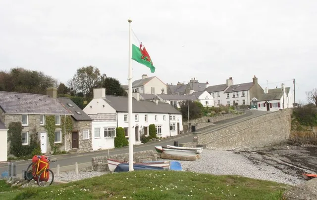
Moelfre wraps around one small harbour on Anglesey’s north-east coast. The lifeboat station, the Seawatch museum, the memorial and the car park all sit around it, close enough to see one from another. The coast path leaves from both ends of it: north along the cliffs, south towards Traeth Bychan.
Most coastal villages have a lifeboat story somewhere in the past tense. Moelfre’s is still running, a station launching since 1828, beside a memorial to the wreck that killed around 450 people on the rocks just north of here in 1859.
Character
A former fishing village that still behaves like one: cottages, a pub, a bakery and a chip shop set back behind the harbour.
Pace
The harbour, car park and village centre sit within a few minutes of each other. The headland, the church and Traeth Bychan each need a walk or a drive.
Landscape
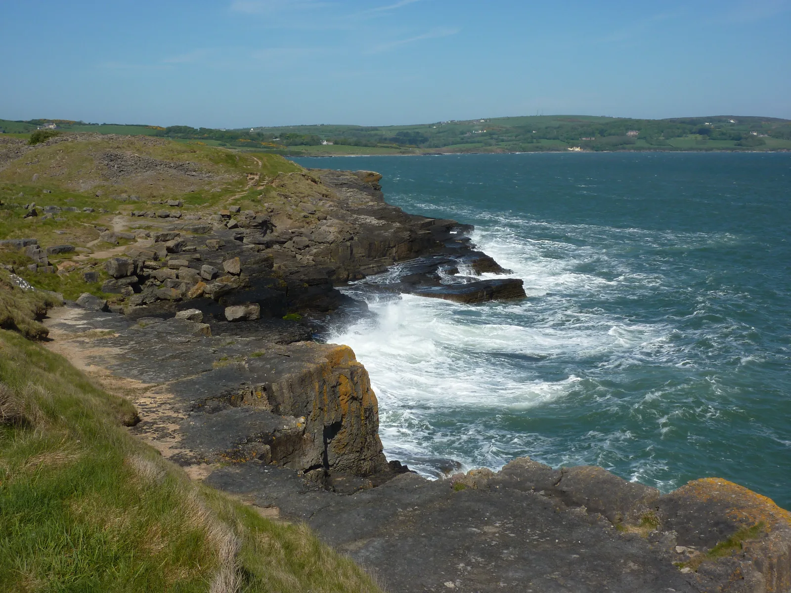
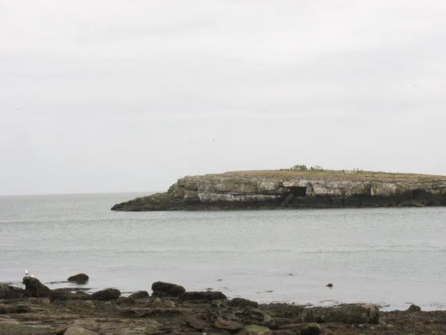
A rocky headland lies just north of the harbour, with the tidal island Ynys Moelfre close offshore.
Best for
Best for a short stop that costs nothing, and for walkers joining the coast path at either end of the harbour.
02Discover
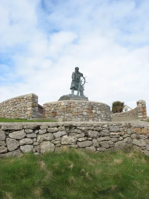
A still-working harbour with a free RNLI museum, a retired lifeboat and Dic Evans’ memorial statue.
A short walk onto the headland brings the tidal island into view, with a seal colony offshore.
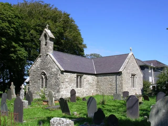
A churchyard holding the graves of 140 people lost in the Royal Charter wreck, two kilometres from the harbour.
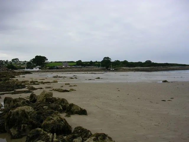
A beach along the coast path where a salvaged submarine was beached before her final tow to Holyhead.
Beyond the first defining moments, the fuller Moelfre catalogue continues below.
A small harbour village strung along the coast path: the harbour is the centre, with the headland a short walk north and St Gallgo's Church and Traeth Bychan further south.
No verified image yet
Moelfre Harbour & the RNLI Seawatch Centre
The working harbour, the free museum and the Royal Charter memorial, all at the village centre.
Four stops along the coast path, from the working harbour to a beach with its own shipwreck story. No cafés, pubs or shops are named here; see Local life for the village's everyday character.
Harbour
A small harbour still launching lifeboats, with a free RNLI museum beside it: a retired boat inside, and Dic Evans in bronze looking out.
Headland
A tidal island just offshore with gulls, terns and a seal colony. It only connects at extreme low tides, so the headland view is the everyday version.
Check tide times (Moelfre station, 1.2 miles) (opens in a new tab)Heritage
A late-medieval parish church whose churchyard holds a hundred and forty of the dead from the Royal Charter, the wreck that marked this whole coast.
Beach
A further beach along the coast path towards Benllech, and the shore where the salvaged submarine Thetis was laid up before her last tow to Holyhead.
Parking charges and the Seawatch Centre's exact opening hours are reviewed seasonally, so confirm current details before you plan a day around them.
Isle of Anglesey County Council, car parks03Story
Moelfre was a working fishing port long before it became known for anything else. What changed the village was the sea itself, and what people here chose to do about it.
Moelfre was a working fishing port when the Anglesey Association for the Preservation of Life from Shipwreck placed a lifeboat here in 1828; the RNLI took over the station in 1855.
In the worst storm of the 19th century, the steam clipper Royal Charter was driven onto rocks just north of the village on the night of 25–26 October 1859, with around 450 lives lost, more than any other wreck on this coast.
Richard “Dic” Evans served as a Moelfre lifeboatman and coxswain for fifty years, credited with saving 281 lives and twice awarded the RNLI Gold Medal, in 1959 and 1967.
The Seawatch Centre and Dic Evans' memorial statue, unveiled in 2004, now tell that story for free, on a stretch of the Anglesey Coastal Path that still passes the working harbour every day.
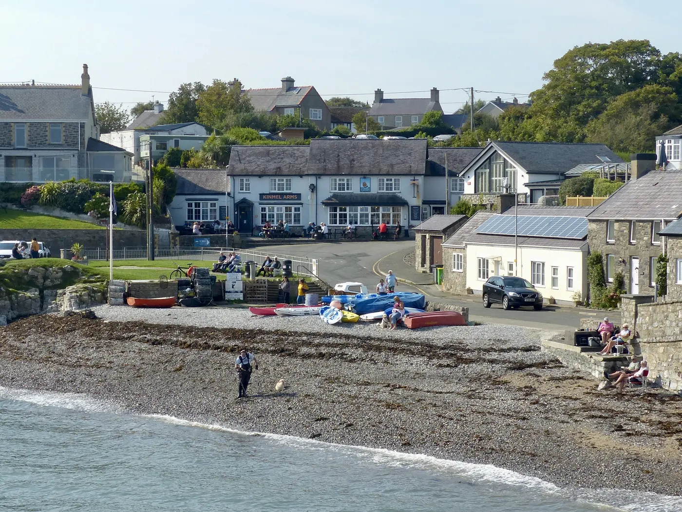
The lifeboat station has outlasted the fishing port it was built to serve.
Atlas of Wales
Moelfre is a resident village before it is a visitor destination, a small population behind the harbour, with a café, pub, bakery and chip shop close by; no single business is recommended here.
The Anglesey Coastal Path runs directly through the village, so walkers doing the wider Anglesey coast are as much a part of the everyday scene as anyone stopping for the museum.
The Royal Charter went down on the rocks north of the village, not at the harbour. The headland walk is where you actually see that coast.
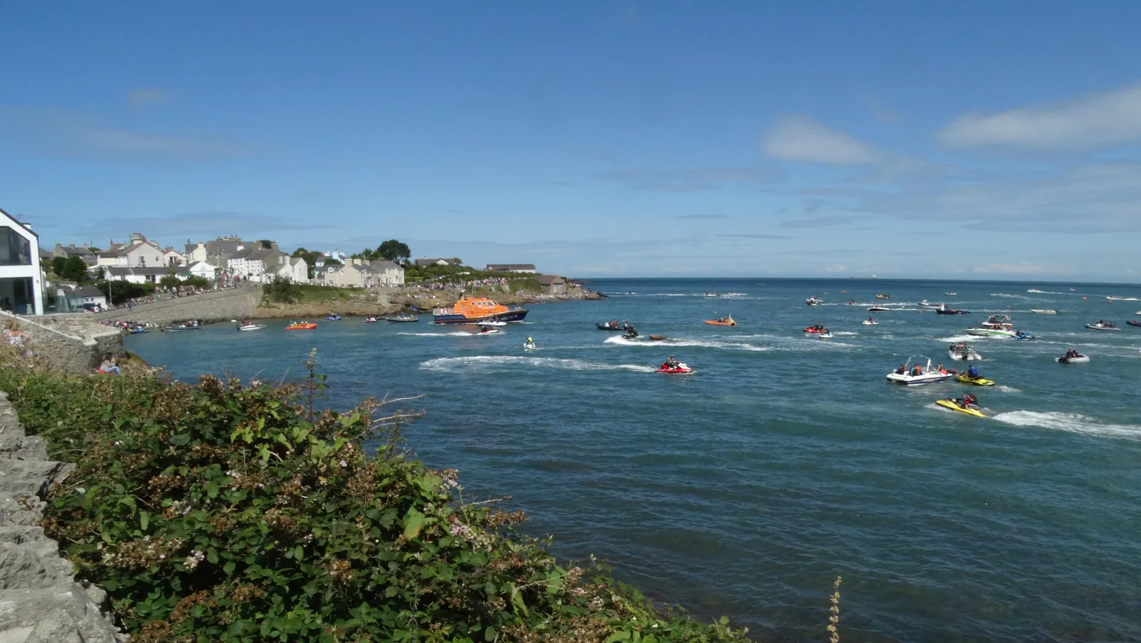
Small boats, the lifeboat boathouse and the everyday rhythm of a harbour that's never stopped being used.
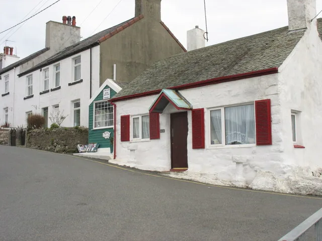
Cottages, a café, pub, bakery and chip shop sit a short walk from the water, an ordinary Anglesey village behind the museum.
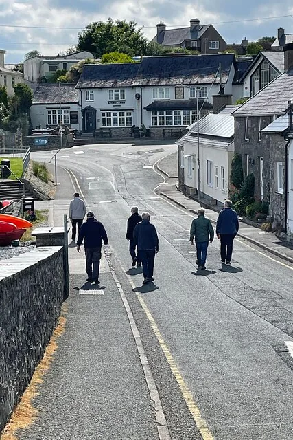
The headland, St Gallgo's Church and Traeth Bychan all sit a short walk or drive along the Anglesey Coastal Path.
The village in one visit
Sea rescue is the one thread that runs through Moelfre. The harbour, museum and memorial each tell a different part of that story.
Plan your time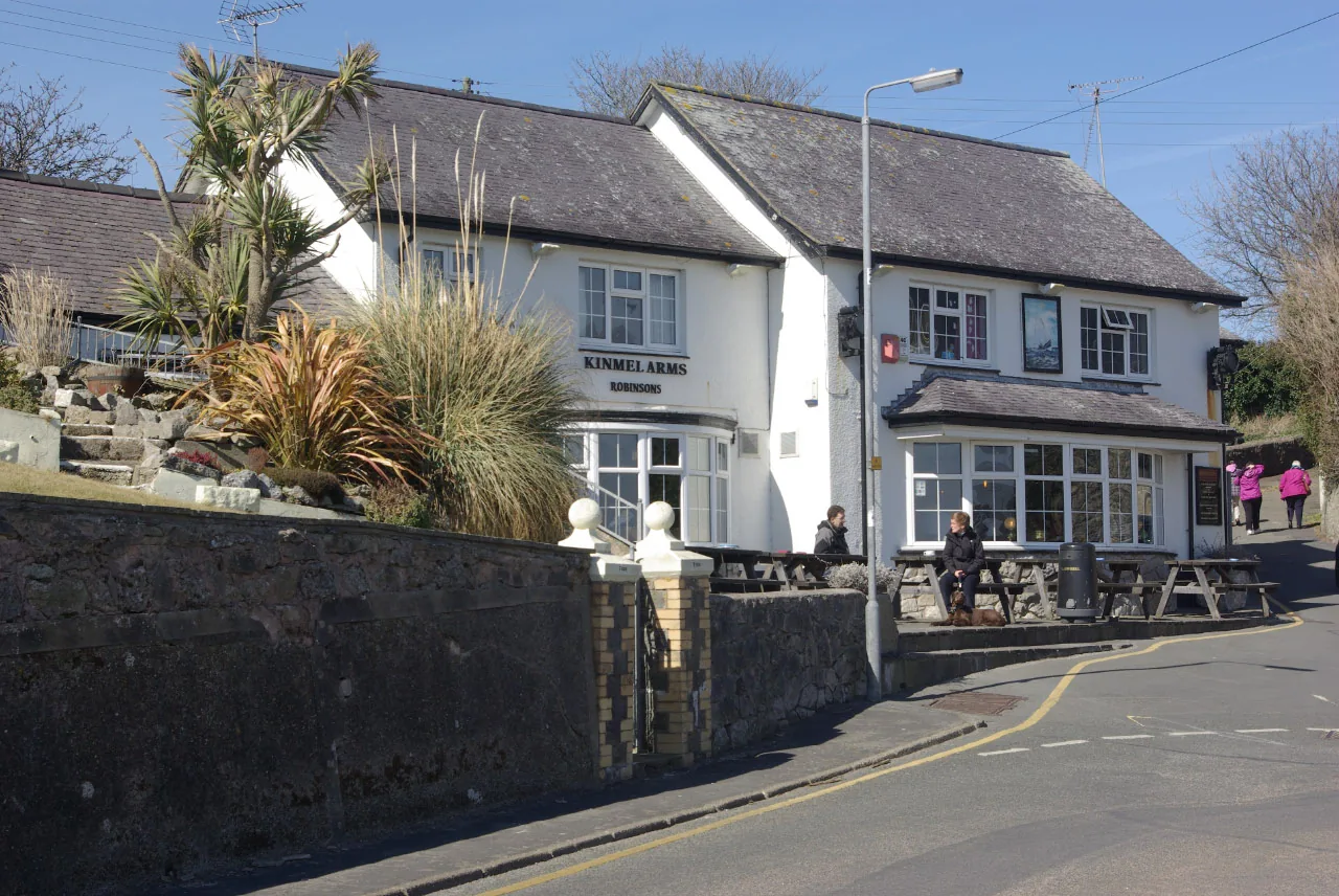
Dic Evans served the Moelfre lifeboat for fifty years, and is credited with saving 281 lives.
Atlas of Wales
04Plan
Right at the water's edge, with the Seawatch Centre alongside.
A free look at Moelfre's lifeboat story, statue included.
Boats, the boathouse, and the everyday working edge of the village.
The Seawatch Centre is right alongside.
Time inside the free museum, retired lifeboat included.
A short stretch of the Anglesey Coastal Path.
The tidal island and, tide allowing, the odd seal.
An early start gets ahead of the car park filling.
The harbour's own rescue story, told for free.
The Royal Charter graves, a short way south at Llanallgo.
A further beach, and the HMS Thetis story.
Along the coast path, or by road.
Practical
Everything you need for arriving and getting around.
Getting here
Moelfre is about five minutes' drive off the A5025, with a pay-and-display car park at the beach and two free council ones above the harbour.
Find Moelfre’s car parks in MapsBus services (the route 62 family, Arriva Cymru) name Moelfre Bus Station as a stop, connecting towards Benllech, Amlwch and Bangor. Check the current service before travelling.
Route 62 timetablePractical details
Four car parks: pay-and-display behind the Seawatch centre, two free council ones in the village, and a seasonal one at Traeth Bychan.
Check the Isle of Anglesey car parks listingCharges and restrictions can change. Check the signs when you arrive.
Moelfre Beach
Behind the Seawatch centre · at the beach
Google Maps (opens in a new tab)Ffordd Lligwy
Village centre · Ffordd Lligwy
Google Maps (opens in a new tab)Swn yr Afon
Village centre · above the harbour
Google Maps (opens in a new tab)Traeth Bychan Beach Car Park
Traeth Bychan · at the beach
Google Maps (opens in a new tab)Council toilets at the car park, open 15 March–30 September only; Ynys Moelfre is a genuine tidal hazard, not a routine walk.
Check the council’s public toilets pageToilets at the harbour car park, 15 Mar–30 Sept
Ynys Moelfre is reachable on foot only at extreme low spring tides
Moelfre beach carries no seasonal dog restriction, unlike several neighbouring Anglesey beaches.
Check the council’s beach dog rulesNo restriction on Moelfre beach, year-round
Benllech, among others, restricts dogs 1 May–30 Sept
General coastal caution applies around the harbour and headland; the Seawatch Centre is volunteer-run.
No site-specific RNLI or coastguard safety notice for Moelfre was independently confirmed here beyond general coastal caution.
Ynys Moelfre · extreme low springs only
Phone ahead to confirm the Seawatch Centre is open
The car park sits at the water's edge, so the harbour, the museum and the memorial are reached without moving the car again.
Use Moelfre as a base
Four real Atlas destinations pair with a Moelfre visit. Distances are straight-line from the harbour, not driving times.
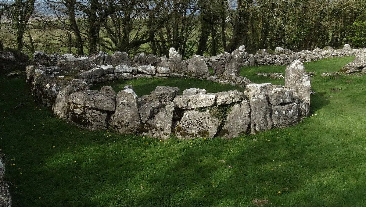
Three free Cadw monuments above Traeth Lligwy: a Roman-era walled village, a Neolithic burial chamber and a medieval chapel, in one short walk.
About 1.0 miles west (straight-line)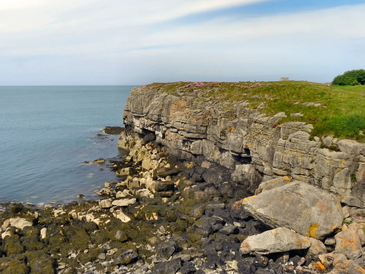
A broad east-coast beach with pale sand and low dunes, a little further north: a calmer, quieter Anglesey horizon.
About 2.2 miles west (straight-line)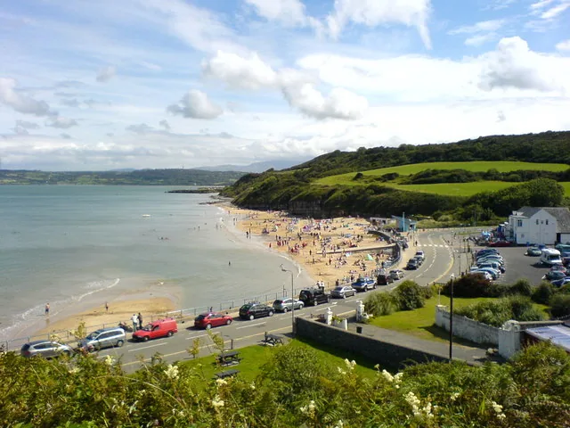
A sandy beach village a little south: car parks, toilets and a café already sorted, an Iron Age hut group close by.
About 2.3 miles south (straight-line)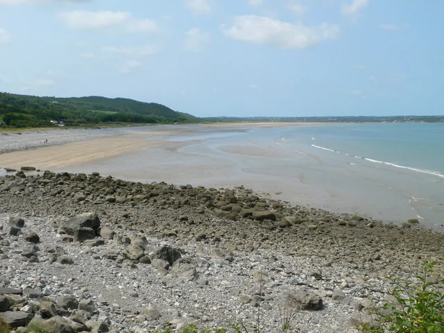
A wide tidal bay a little further south: miles of sand only there to walk on part of the time, with a landmark rock and a hillfort inland.
About 3.4 miles south (straight-line)Before you go
A free museum, a working harbour, and a headland walk, and the older village is still there if you look.