The bridge nobody drives over
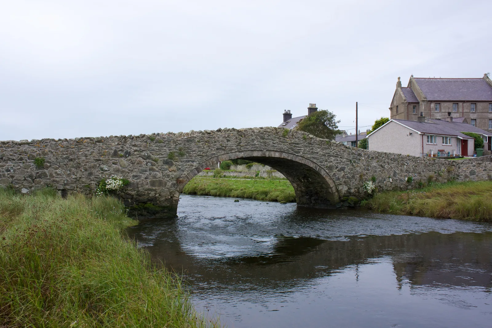
A single hump-backed arch closed to traffic at both ends, so the bridge belongs to people on foot.
Isle of Anglesey · South-west coast
Once the seat of the Kingdom of Gwynedd, now a village above a tidal river, with a very large beach at the end of it.
01The village
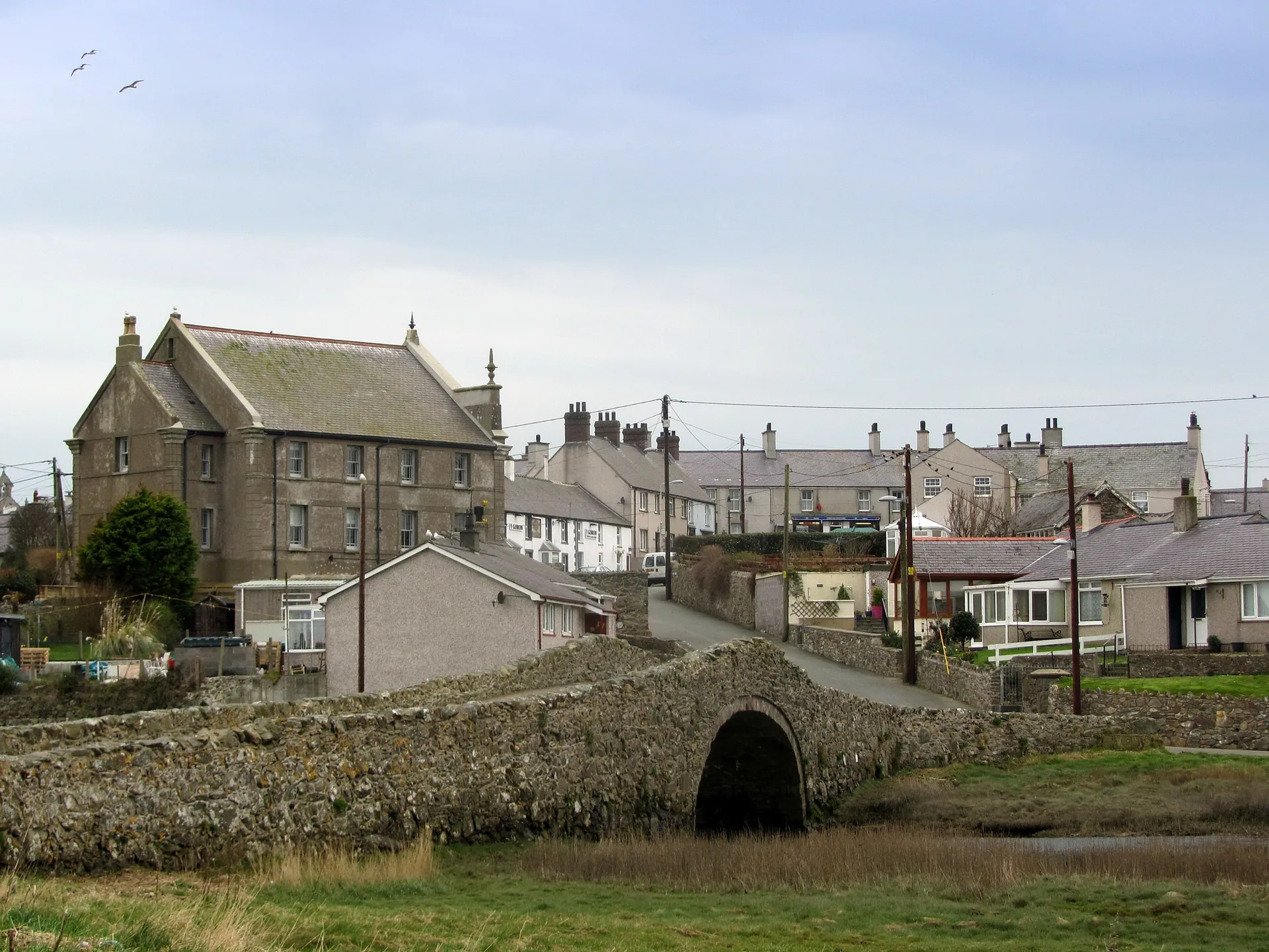
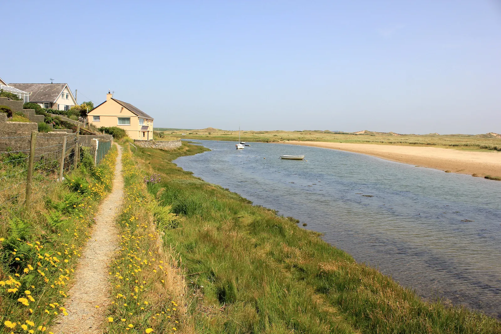
Aberffraw sits on the west bank of the Afon Ffraw, a short walk in from the sea. Everything in the village (the square, the church, the old bridge) is within about four hundred metres. Traeth Mawr, the beach at the river mouth, is a further kilometre south, with the dunes of Tywyn Aberffraw running inland behind it.
Few villages this small carry this much weight. Aberffraw gave its name to the ruling house of Gwynedd and held its court, and none of that is signposted for you; the interest is in walking a working village that happens to have been a capital, and then walking out of it onto open sand.
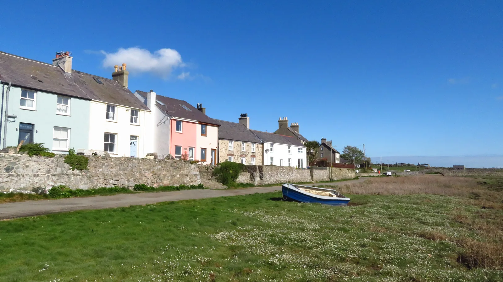
Character
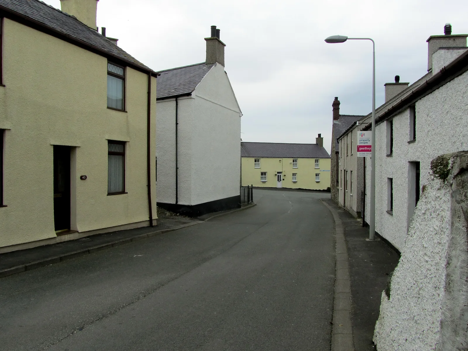
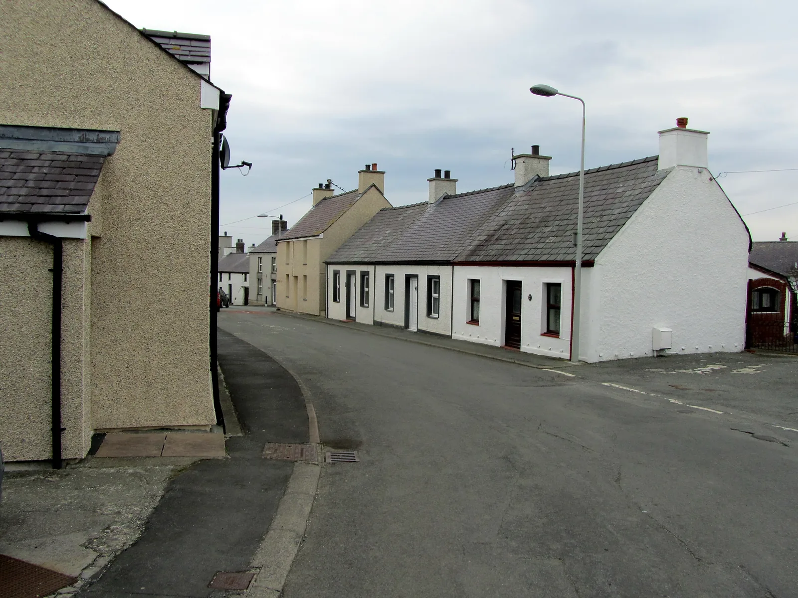
Low terraces in whitewash and painted render, a post office on the square, a community hall. Around 600 people live here.
Pace
The village itself is walked quickly. The beach, the dunes and the coast path are what turn it into a half day.
Landscape
The Ffraw runs out over Traeth Mawr; behind the beach, about 883 acres of dune are protected as a Special Area of Conservation.
Best for
Best for open sand, dune walking, the coast path, and heritage that has not been packaged.
02Discover
A single hump-backed arch closed to traffic at both ends, so the bridge belongs to people on foot.
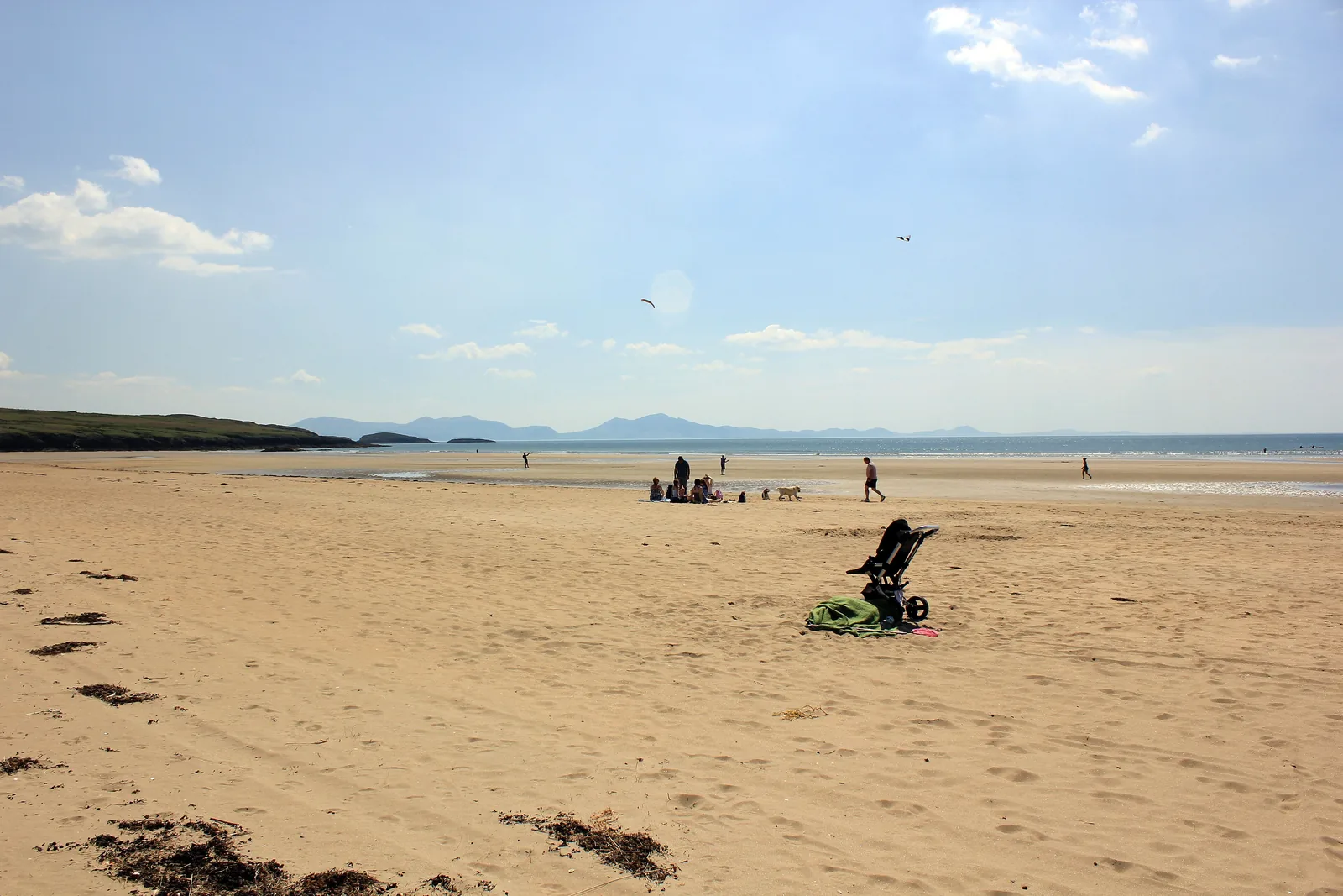
A beach wide enough to absorb a busy day and still feel empty at the far end of it.
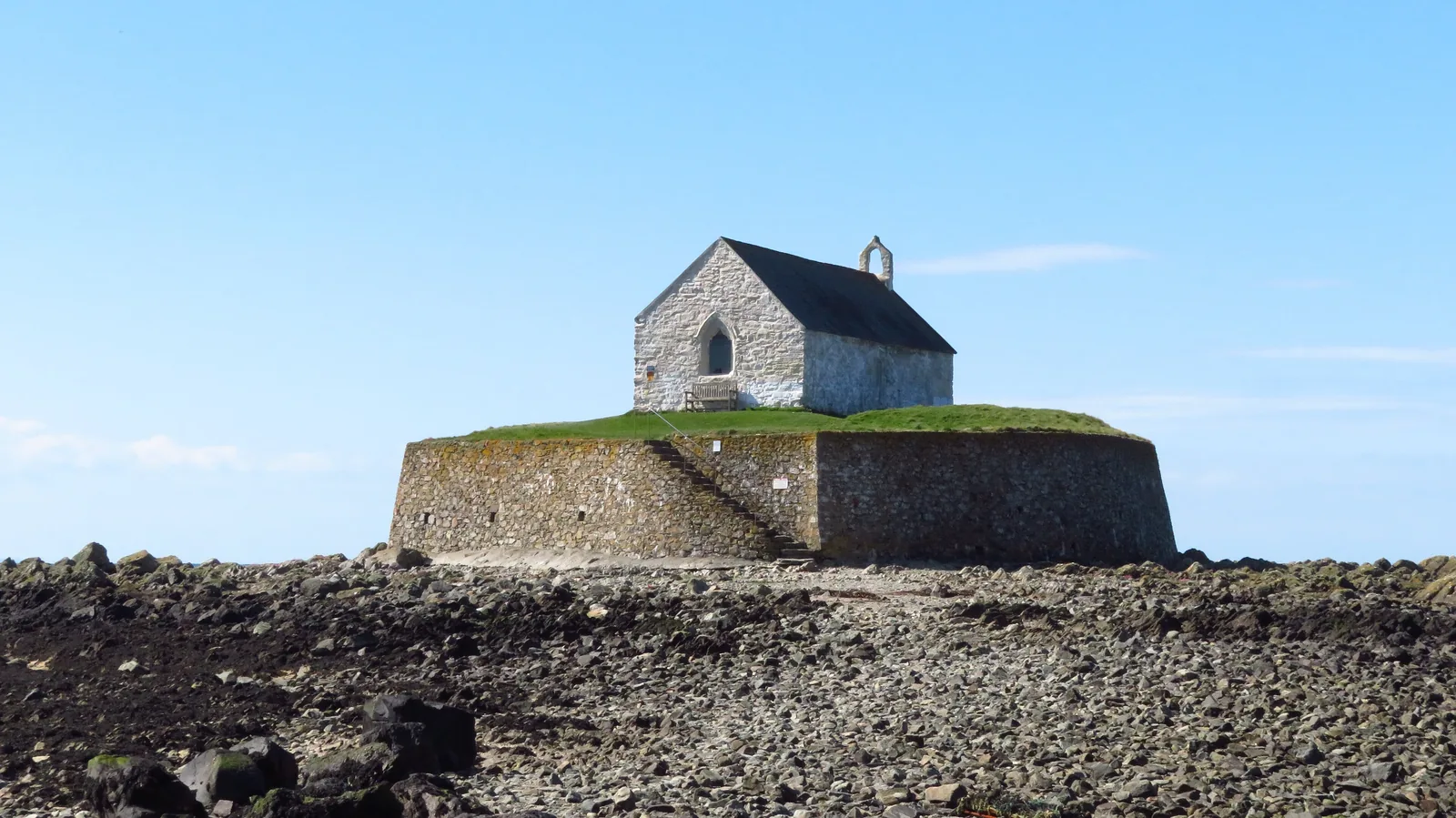
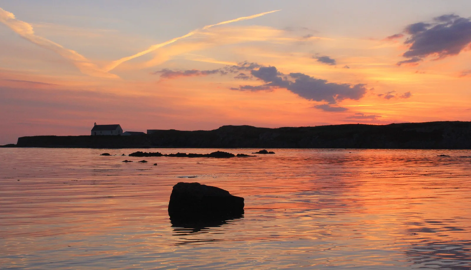
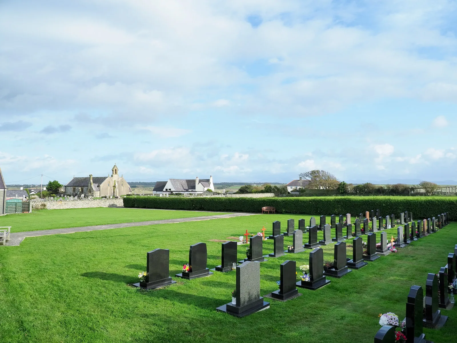
A church standing alone on a small island inside a round sea wall, reached over a causeway that covers.
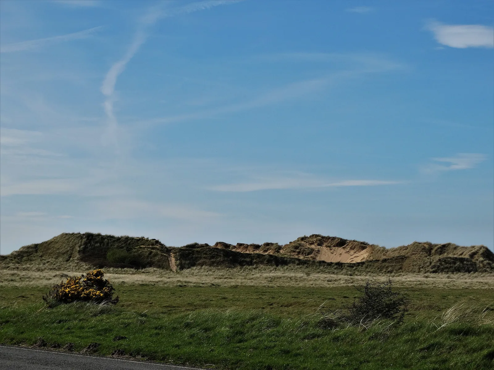
Behind the beach the sand keeps going inland for hundreds of acres of dune and slack, grazed by cattle.
Beyond the first defining moments, the fuller Aberffraw catalogue continues below.
A village on one bank of a river, a beach at its mouth, dunes behind it and a church on an islet two kilometres west: six stops, strung along the water.
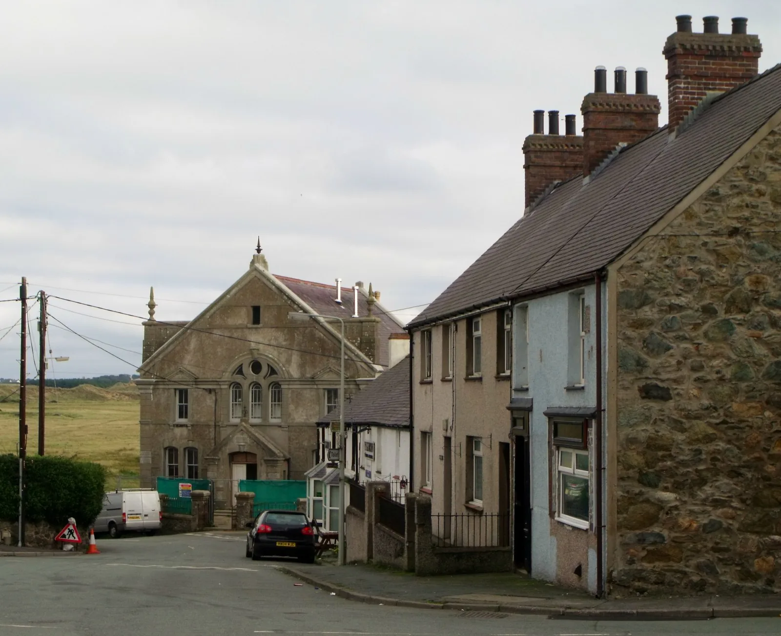 No verified image yet
Bodorgan Square
The centre of the village, where the road widens; the post office and bus stop are here.
Six places, in the order you meet them walking out from the square: the village centre, a scheduled bridge, a double-naved medieval church, the beach, the dunes behind it, and a church on a tidal islet. No pubs, shops or cafés are listed here; see Local life for the village’s everyday character.
Village centre
Where the road widens and the village gathers. The court of Gwynedd stood somewhere under this ground, and there is nothing left to look at.
Scheduled monument
A single hump-backed arch over the Ffraw, too narrow for modern traffic. It survives intact because it was bypassed rather than widened.
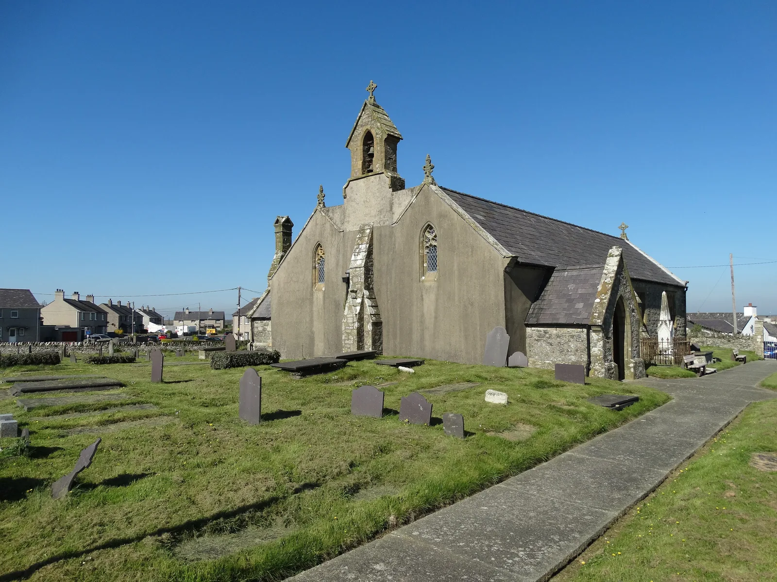
Working church
Look up for the twin roofs: this is one of Anglesey’s rare double-naved churches, and it hid a carved Norman arch inside a wall for centuries.
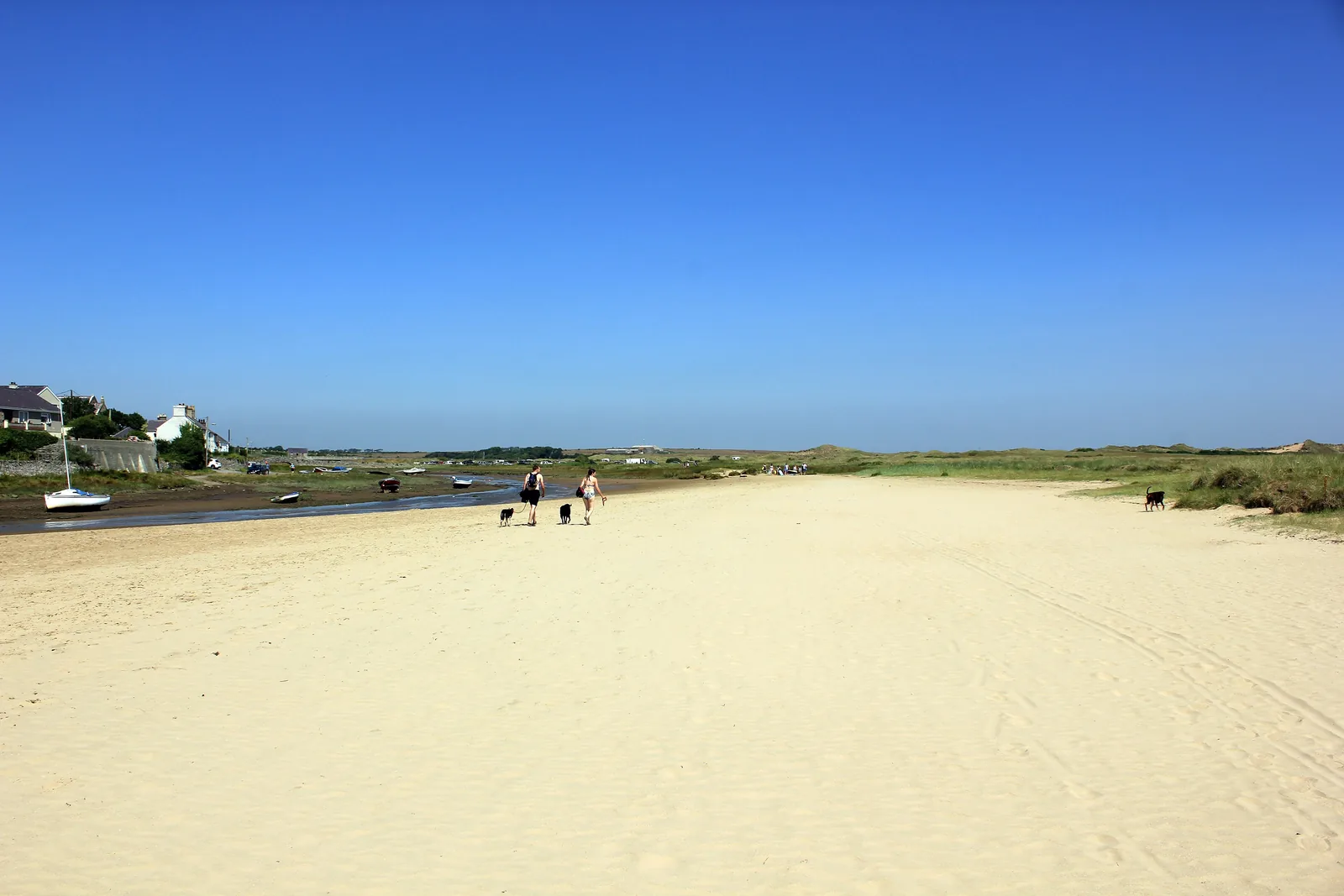
Beach
A beach on Newborough’s scale with a small village behind it, so a busy afternoon still leaves the far end to yourself.
Check tide times (Porth Trecastell station) (opens in a new tab)Protected landscape
Hundreds of acres of marram ridge and flooded hollow, where the interest is underfoot: some of the richest dune mosses and liverworts in Wales.
Check access and grazing (opens in a new tab)Tidal access
A medieval church alone on a low island, saved by building a stone circle round it. The rock-and-shingle crossing goes under at high water.
Check tide times before you cross (Porth Trecastell station) (opens in a new tab)The dunes are a protected site with grazing stock on them, and the crossing to Cribinau depends entirely on the tide, so check both before you set out.
Tywyn Aberffraw, Natural Resources Wales03Story
The name went further than the place. From roughly 860 the court of Gwynedd sat here, and the dynasty that ruled from it was called the House of Aberffraw, a title that outlasted the buildings by centuries.
The ground the village stands on carries evidence of settlement from the Mesolithic onward. People were living at this river mouth long before it meant anything politically.
Aberffraw became the principal court of the Kingdom of Gwynedd, and the ruling line took its name. Rhodri the Great is recorded as rebuilding the residence in 873.
The court was partly dismantled in 1317 and its materials carried off for building work elsewhere. Excavations in 1973–74, 1979 and 1987–88 recorded part of a rectilinear enclosure; parts are thought to lie beneath the modern village, but nothing stands above ground.
A sandstorm on 6 December 1331 is recorded as burying 186 acres nearby. Four centuries later, in 1731, a single stone arch was thrown across the Ffraw, the bridge that still stands, now scheduled, superseded by a newer crossing in 1932.
The 1840 restoration of St Beuno’s uncovered the carved twelfth-century arch blocked into its west wall; Henry Kennedy rebuilt the chancel and north aisle in 1868. At Cribinau, Harold Hughes raised money in 1893 for the sea wall that keeps St Cwyfan’s standing.
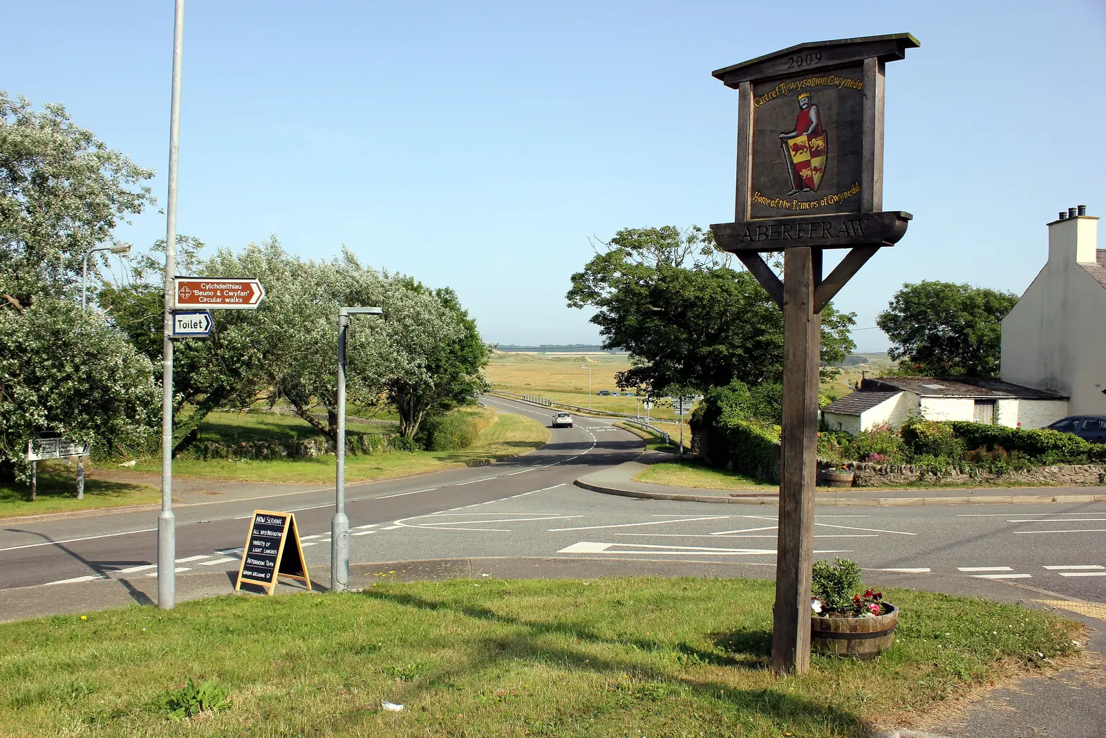
The dynasty kept the name long after the buildings had gone. A sign at the roadside is now the loudest thing the court left behind.
Atlas of Wales
Aberffraw is small and residential. The terraces face the river rather than a promenade, the road through carries the coast path as well as the traffic, and the everyday business of the place (the post office, the hall, the chapel and church) sits within a few hundred metres of the square.
Say it as people here do and the name shortens: Aberffro, and then just ‘Berffro. It is why the scallop-shaped shortbread associated with the village is called a Berffro cake.
This is a working village with few facilities. Arrive self-sufficient rather than expecting to be catered for.
The houses closest to the Ffraw look straight out over it. The river is tidal here, so the view from those windows changes twice a day from water to mud and grass.
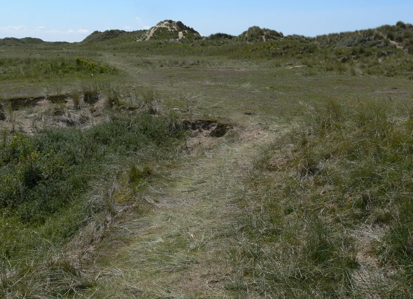
Paths run out of the village in every direction that isn’t the sea, and most of them end up in sand. The dunes are grazed, so gates and stock are part of the walk.
For many people Aberffraw is not a destination but a section of the Anglesey Coastal Path. The village absorbs that traffic without turning itself into a service station for it.
The village in one walk
Square, church, bridge and river bank sit within a few minutes of each other, and the burial ground on the edge of the village is where the walk usually turns back. Take it slowly and Aberffraw gives up more than its size suggests.
Plan your time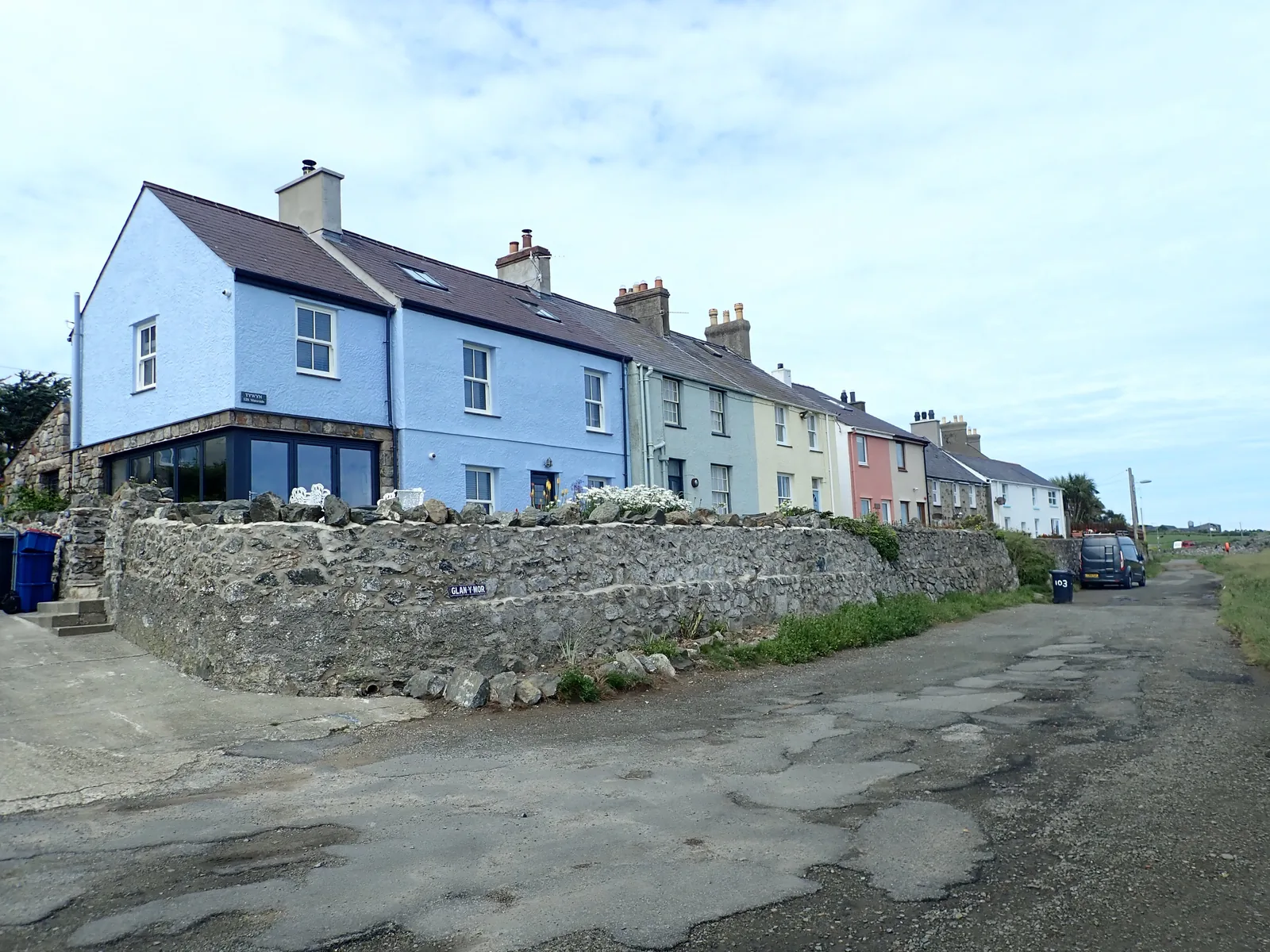
Say it the way it is said here and the name wears down: Aberffro, then ‘Berffro.
Atlas of Wales
04Plan
Bodorgan Square, where the road through widens.
Two roofs, one church: the double nave from the churchyard.
On foot. The traffic is on the newer bridge upstream.
The cottages that face the river, and whatever the tide is doing.
Then Church Street and St Beuno’s.
The scheduled arch, on foot.
The coast path down the west bank towards the sea.
Open sand at the river mouth. Walk as far along it as you like.
Up behind the beach on the marked paths. Gates closed, stock left alone.
Then start at the square, as before.
Across the arch and down the bank.
Cross the beach and pick the coast path up at the far side.
Roughly two kilometres of low cliff and field edge to Porth Cwyfan.
Only at low water, and check the tide again before you walk back across.
Practical
Everything you need for arriving and getting around.
Getting here
The A4080 along Anglesey’s south-west coast, between Newborough and Rhosneigr, runs through the village. A free car park sits by the old bridge, and the walk to Traeth Mawr starts from there.
Open the beach access point in MapsRoutes 25 and 42 call at the Post Office stop on Bodorgan Square. The nearest railway station is Bodorgan. Check the current service before travelling.
Route 25 timetablePractical details
One free car park, by the old packhorse bridge at the edge of the village. Everything else here is roadside.
Check the IACC car parks listingCharges and restrictions can change. Check the signs when you arrive.
Aberffraw village car park
By Pont Aberffraw · village centre
Google Maps (opens in a new tab)The county council’s public-toilet directory does not list Aberffraw.
That is a statement about the council’s list, not a guarantee either way about what is open on the ground. Plan on the assumption that nothing is provided.
Check the IACC public toilets listingThe nearest listed council toilets on this coast are at Rhosneigr (library car park, seasonal, community-council managed).
The causeway to Cribinau covers at high water, and the Ffraw runs a tidal channel across the beach.
No tide times are printed here. Take care around open water, the river channel and the rocky causeway, especially in poor conditions. Met Office times are read from the Porth Trecastell station, 2 miles along the coast.
Check tide times for Traeth MawrRock and shingle to Cribinau · check the tide going out, and again before returning
No lifeguard arrangement is recorded for this beach either way · treat it as unpatrolled
The village itself is level. The dune paths are soft sand, and the causeway to Cribinau is loose rock and shingle.
Per-site accessibility is not independently confirmed, so check before visiting if this matters to you.
Level, short distances between everything
Soft sand and loose rock · Not confirmed per site
Aberffraw is not one of the seven Anglesey beaches carrying the county council’s seasonal dog restriction.
Check the IACC dog restrictions pageThe dunes behind the beach are a grazed conservation site. Close control around stock and ground-nesting birds is ordinary good practice here, whatever the beach rules say.
Everything in this guide is walkable from the square, and only the crossing to Cribinau depends on the tide.
Use Aberffraw as a base
Four real Atlas destinations pair with an Aberffraw visit. Distances are straight-line from the village, not driving times.
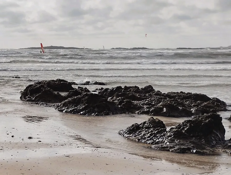
The next village north along the same coast: busier, better served, and the obvious place to go for what Aberffraw deliberately doesn’t provide.
About 3.5 miles north-west (straight-line)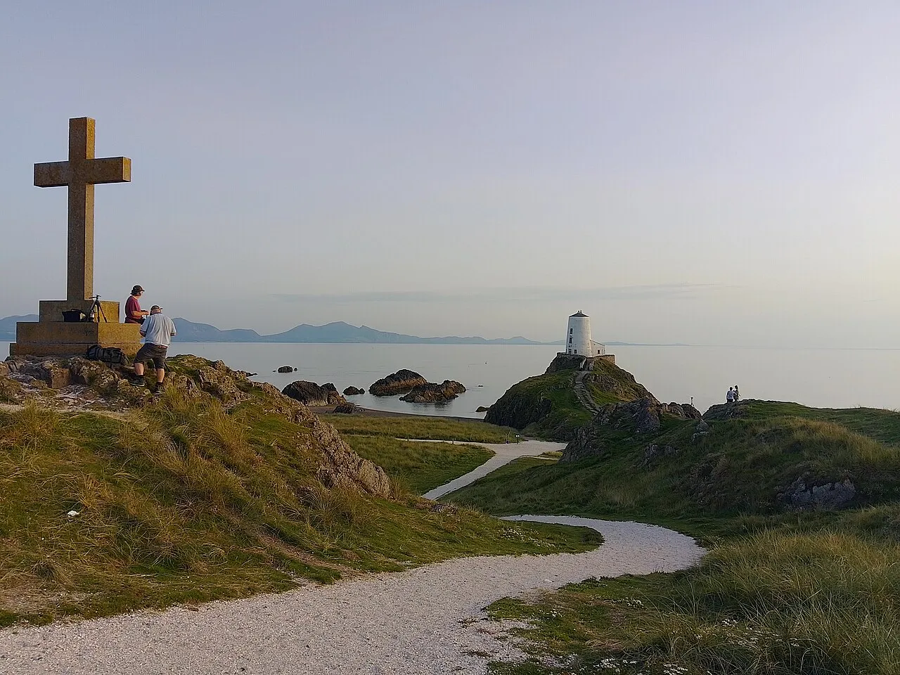
The other tidal island on this shore, and the other church cut off by water: larger, busier, and reached over sand rather than shingle.
About 4.4 miles south-east (straight-line)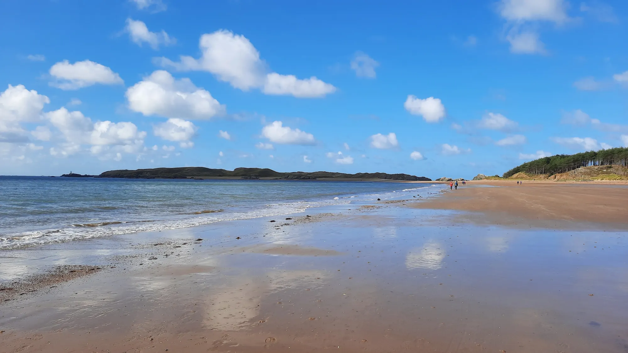
The far end of the same dune coast, on a much larger scale, with forest behind the sand instead of open marram.
About 4.4 miles south-east (straight-line)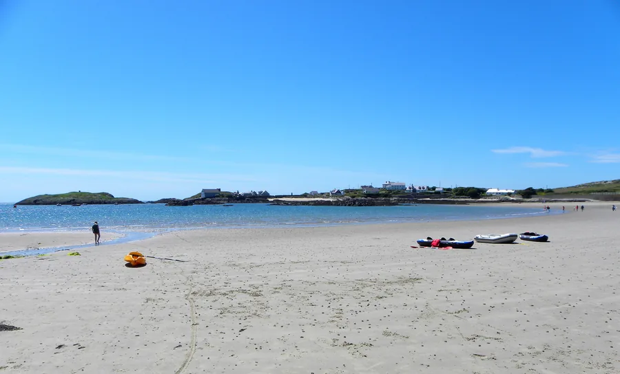
A sheltered, south-facing sandy bay at the southern tip of Holy Island, with a navigation beacon standing offshore and a headland walk past two sea arches and a scheduled-monument holy well.
About 6.3 miles north-west (straight-line)Before you go
Come for the sand and the walking, and let the history find you on the way past.