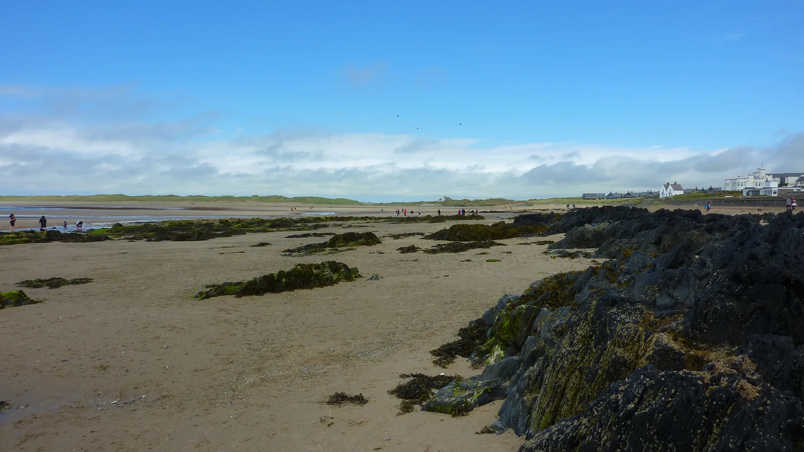
Traeth Crigyll
The beach nearest the village and the one that fills first, a wide sweep of sand and dunes.
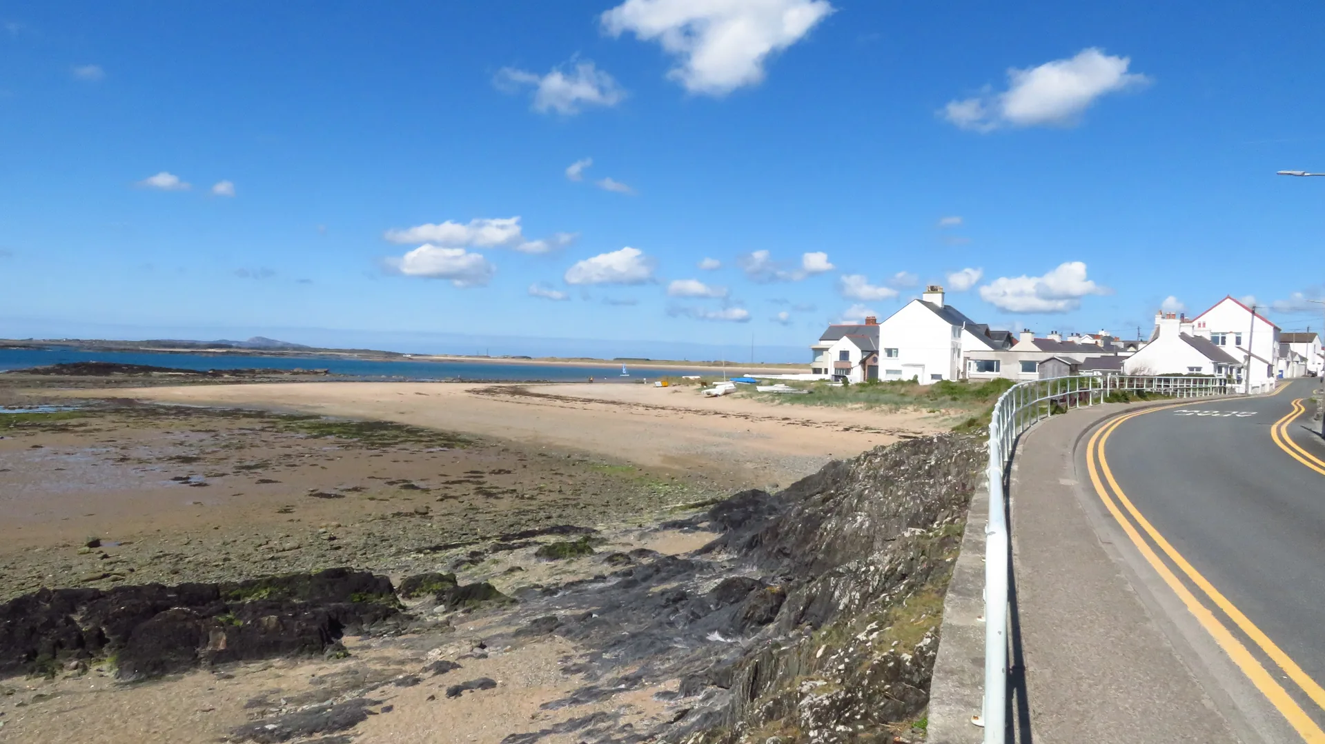
Isle of Anglesey · South-west coast
Two sandy beaches either side of a walkable village, a lake behind the dunes, and a request-stop station, all of it flat, and all of it built for wind.
01The village
Rhosneigr sits on Anglesey's south-west coast between two named beaches, its village centre (the High Street, Beach Road and Station Road around the war memorial clock) a short, flat walk from either one. A lake behind the dunes and a request-stop station complete a genuinely compact geography.
Two distinct beaches within walking distance of a real village centre is unusual on this stretch of coast, and Rhosneigr's watersports scene (windsurfing and kitesurfing schools trading from the village) has grown up around exactly that geography.
Character
Independent shops, cafés and homes sit through the visitor centre, and Rhosneigr is lived in year-round, not only in summer.
Pace
Nothing here needs the car once you have parked, and there is no climb anywhere in the village; the dunes are the only uneven ground you will cross.
Landscape
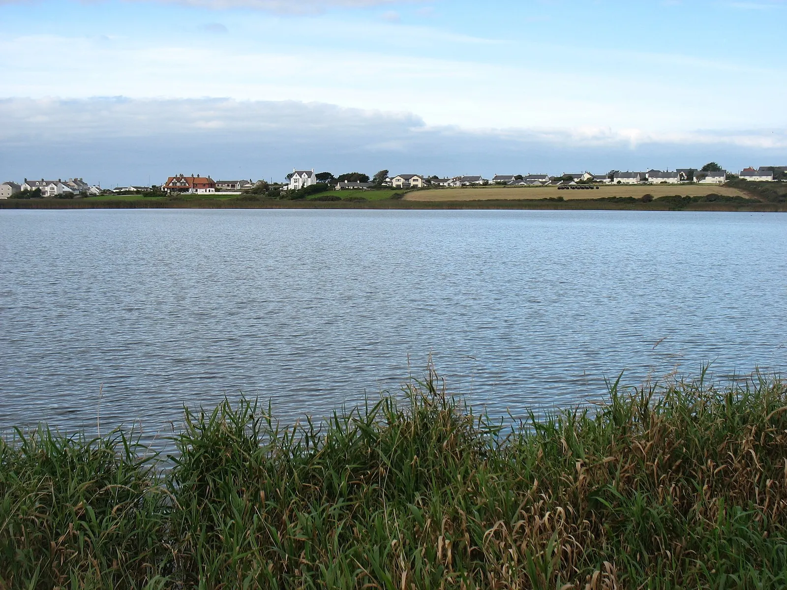
Sand dunes separate the village from open water on both sides, with Llyn Maelog’s reedbeds inland.
Best for
Best for beach days, watersports, rock pooling and a village that doesn’t need the car once you’ve arrived.
02Discover
The beach nearest the village and the one that fills first, a wide sweep of sand and dunes.
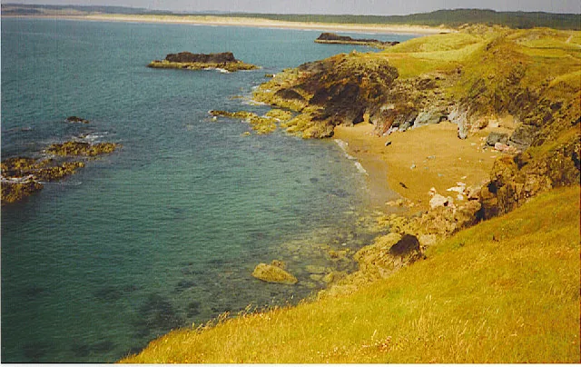
A quieter bay bracketed by rock formations that reward a slow look when the tide is out.
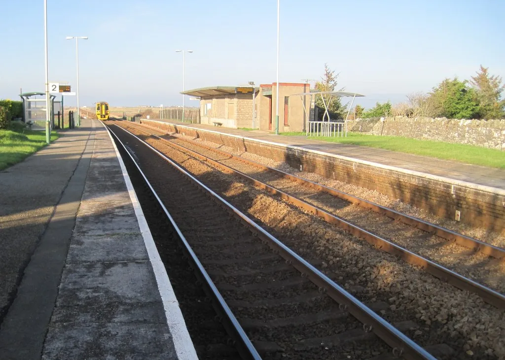
A working request stop: trains halt here only if a passenger asks, a short walk from the High Street.
Beyond the first defining moments, the fuller Rhosneigr catalogue continues below.
A village shaped by two beaches, a lake behind the dunes, and its own station.
No verified image yet
Traeth Crigyll
A short walk west from the High Street, with the dunes as the natural approach.
Four stops: two beaches, a lake, and a working request-stop station. No cafés, pubs or shops are listed here; see Local life for the village's everyday character.
Beach
The nearer beach, straight off the dunes at the edge of the village, and the one that fills first on a fine day. Dogs are welcome year-round.
Check seasonal dog restrictions (opens in a new tab)Beach
Walk a little further round the coast and the crowds drop away. Rocks bracket the bay, and at low tide it becomes a rock-pooling beach.
Check tide times (Porth Trecastell station, 1.6 miles) (opens in a new tab)Nature
A broad lake sits behind the dunes with reedbeds and breeding wildfowl around it: the quiet, inland half of Rhosneigr, a few minutes from the sand.
Transport
Trains only stop here if somebody asks them to. A request halt a short walk from the High Street, and one of the more distinctive ways to arrive.
Check current train times (opens in a new tab)Parking tariffs, bus timetables and Barclodiad y Gawres's open-day calendar all change, so confirm current details before you plan a day around them.
Rhosneigr Library car park, IACC03Story
Rhosneigr (Welsh rhos, moorland, plus a personal name reported as Yneigr) began as a small fishing settlement on open moor. Its story since has run through a lifeboat station, two world wars, and into the watersports village of today.
Long before Rhosneigr took its current shape, this stretch of coast was a modest fishing settlement on open moorland, the meaning still carried in the village's own name.
An RNLI lifeboat station operated at Rhosneigr from 1872 to 1924, funded by a London widow, Selina Lingham, in memory of her drowned husband. Four successive lifeboats, all named Thomas Lingham, saved 45 lives in the station's first thirteen years alone, before rescue calls fell away and the station closed.
Rhosneigr's request-stop railway station opened in May 1907, and Anglesey Golf Club laid out its links course on the common land beyond the village in October 1914, two markers of the same Edwardian-era growth that turned a fishing settlement into a holiday destination.
On 28 August 1941, an RAF aircraft came down close offshore in a gale. Three airmen and eleven civilian rescuers died in the attempt to save them; two seventeen-year-olds who reached the wreck by dinghy were awarded the George Medal. A memorial was unveiled on the fiftieth anniversary, in 1991.
Windsurfing and kitesurfing schools now trade from the village, and the beaches that once drew Edwardian holidaymakers draw a different kind of visitor, though the geography that shaped both is exactly the same.
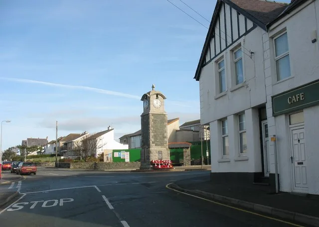
Two world wars, a fishing settlement and a links course all sit behind a village most people know for its wind.
Atlas of Wales
Rhosneigr is small, but it isn't only a beach stop. Everyday life gathers along the High Street, Beach Road and Station Road, where independent shops, cafés and a chip shop sit within a few minutes of the war memorial clock at the centre.
Visitors share the village with the people who live here, and the surf trade is not only a summer business.
Traeth Crigyll is closest to the village centre. Traeth Llydan lies a little farther south-east, and lower tide exposes more of the rocks and pools around its edges.
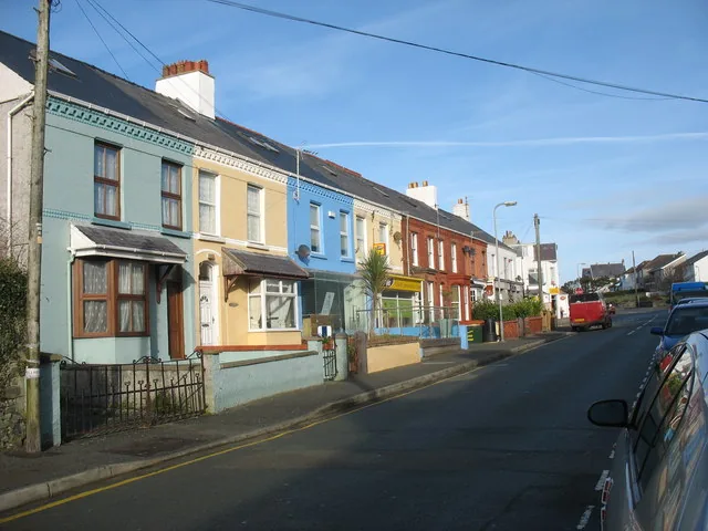
Independent shops, cafés and a chip shop sit along the High Street, Beach Road and Station Road: the everyday spine of the village, not simply a route between the beaches.
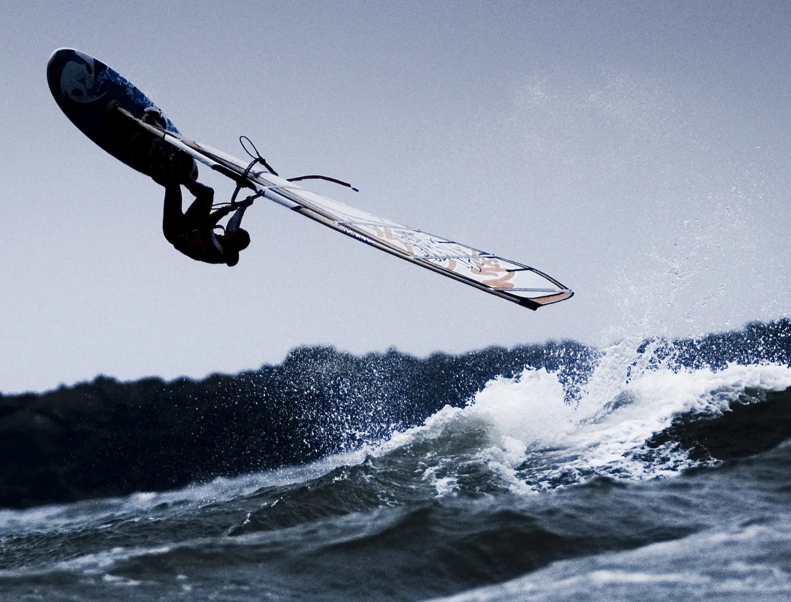
Sails are part of the ordinary view over both beaches on any breezy day, and the schools that put them there work out of the village itself.
The village in one walk
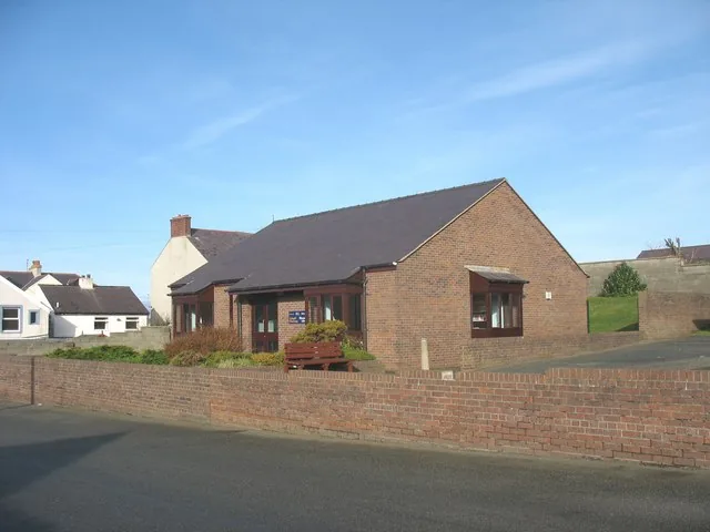
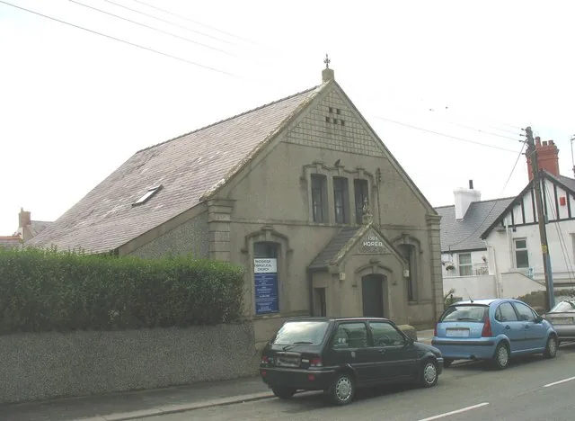
The library, the chapel and the village hall are the buildings the village put up for itself, and they sit among the surf shops, not behind them. Rhosneigr never became only a resort.
Plan your time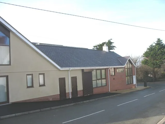
Rhosneigr means “moorland” in Welsh: the low ground the village and its lake both sit on.
Atlas of Wales
04Plan
Rhosneigr Library car park, High Street.
The village's own crossroads and orientation point.
Down through the dunes to the sand.
The same short walk, in reverse.
Rhosneigr Library car park, High Street.
The nearer beach, usually the busier of the two.
The lake behind the dunes, a quieter change of pace.
Quieter, and worth the extra walk for the rock pools.
A pause at the clock tower on the way back.
Ahead of the day's wind and any beach crowds.
The first beach of the day.
Quieter, and worth the extra walk.
The Anglesey Coastal Path heads south from here toward Aberffraw.
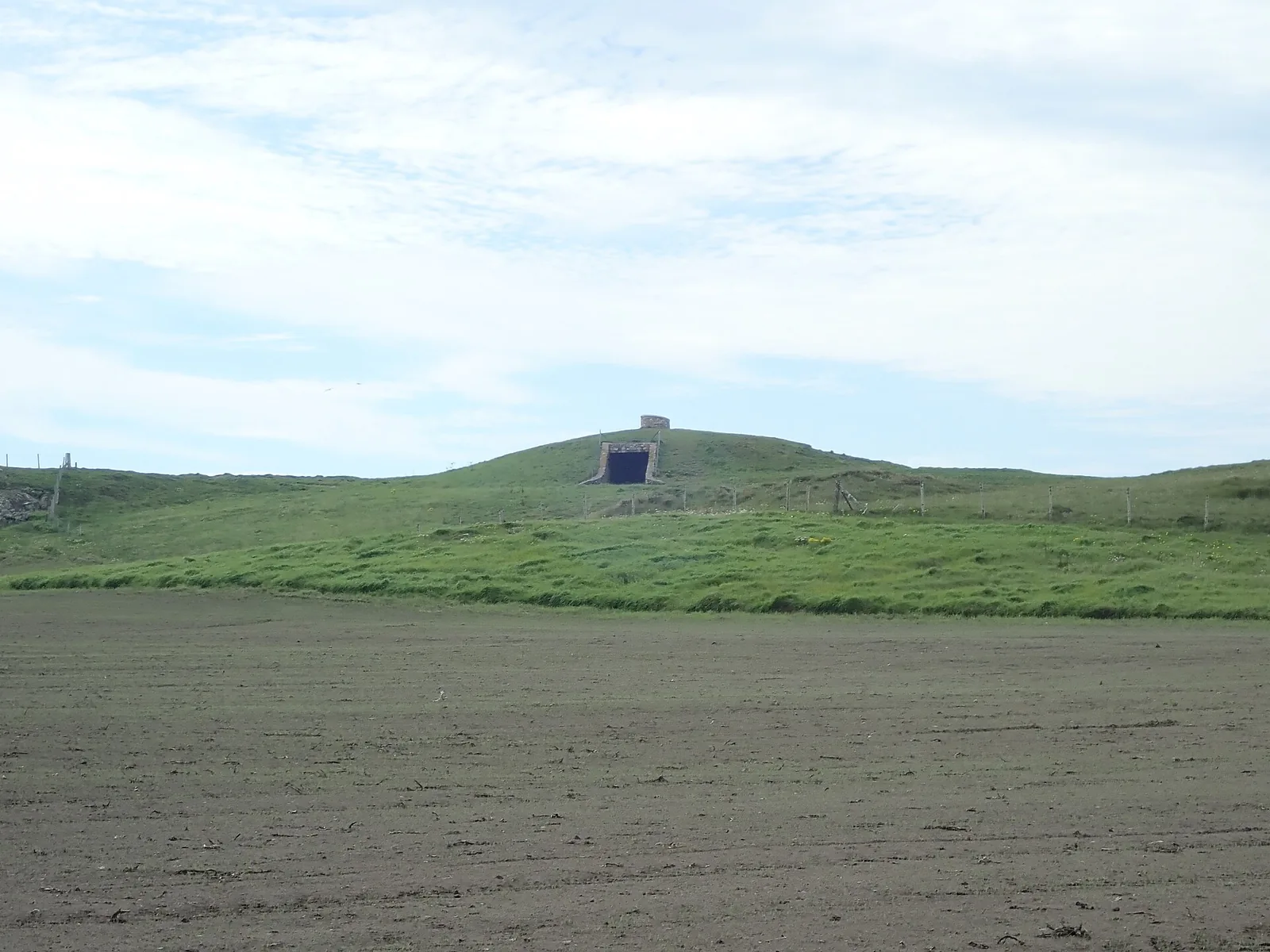
A Neolithic passage tomb on the headland above the cove; the chamber itself opens on Cadw's scheduled days only.
Past the golf course, and in past the station.
Practical
Everything you need for arriving and getting around.
Getting here
The A4080 runs straight through the village, and it's the road most visitors arrive on. A pay car park sits at the library on the High Street.
Open the Rhosneigr car park in Google MapsRhosneigr has its own request-stop station on the line toward Holyhead, and the train only halts here if a passenger asks.
Route 25 timetablePractical details
One published car park, at Rhosneigr Library on the High Street. Everything else in the village is roadside.
Check the IACC car park listingCharges and restrictions can change. Check the signs when you arrive.
Rhosneigr Library
Village centre · by the library
Google Maps (opens in a new tab)A public toilet at the library car park, on the High Street.
Check the IACC public toilets listingRhosneigr Library car park, High Street
Community council
Welcome on both beaches, all year: Rhosneigr isn't one of the seven Anglesey beaches with a seasonal restriction.
Check the IACC dog-restrictions listingClean up after your dog everywhere in the village, and the council's fouling order applies year-round.
No RNLI lifeguard patrol is confirmed for either beach, so treat both as unlifeguarded.
Wind and tide can change quickly on an open beach. Check conditions before swimming or paddling out.
Not confirmed · plan as unlifeguarded
Watersports schools operate from the village if you'd rather have tuition than go it alone.
Park once at the library and you will not need the car again, unless you take the coast path south to Barclodiad y Gawres.
Use Rhosneigr as a base
Four real Atlas destinations pair with a Rhosneigr visit. Distances are straight-line from the village centre, not driving times.
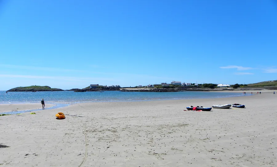
A sheltered, south-facing sandy bay at the southern tip of Holy Island, with a navigation beacon standing offshore and a headland walk past two sea arches and a scheduled-monument holy well.
About 3.1 miles west (straight-line)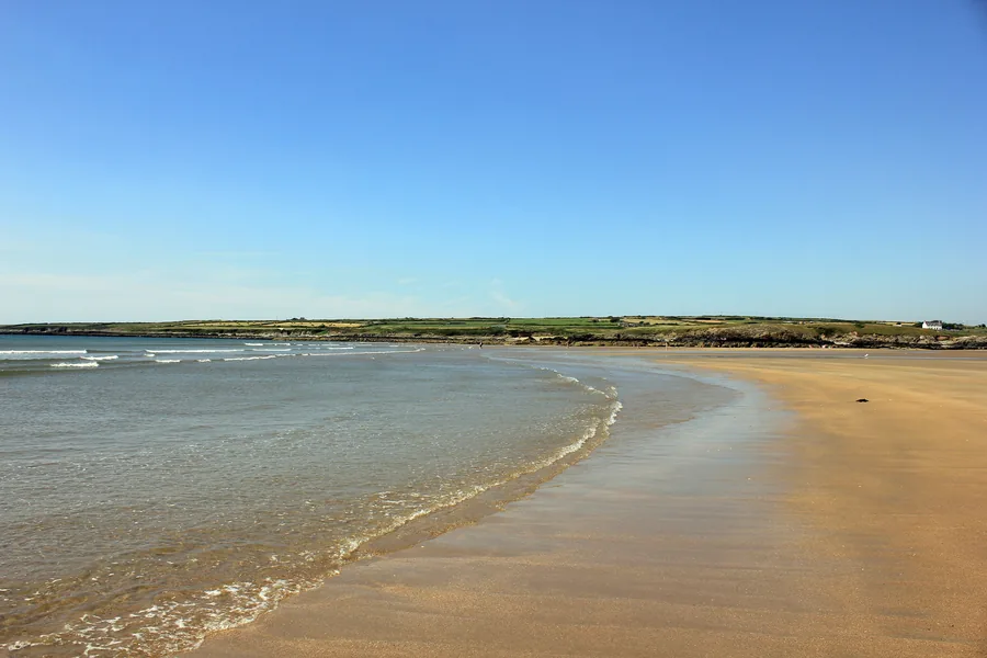
The seat of the Kingdom of Gwynedd for three centuries: now a quiet village above a tidal river, with a scheduled 1731 footbridge, a wide beach and one of Britain’s largest dune systems behind it.
About 3.5 miles south-east (straight-line)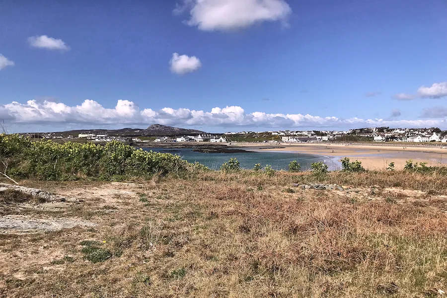
Another watersports beach village, this one on Holy Island, a natural comparison for anyone who liked Rhosneigr's mix of sand and wind.
About 5.5 miles north-west (straight-line)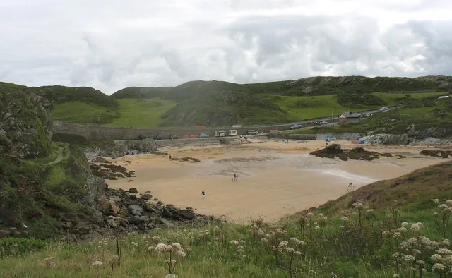
A quieter National Trust cove on Holy Island's west coast: a smaller, calmer contrast to Rhosneigr's two open beaches.
About 6.7 miles north-west (straight-line)Before you go
Two beaches, a lake, and a station where the train stops only if you ask it to.