The bay is tide-governed. Get the tide right and the rest of the visit is straightforward.
CHECK FIRST · TIDE
Red Wharf Bay exposes a very large area of sand at low tide. Check tide times for the bay before walking any distance from the shore, and don’t rely on being able to walk back the way you came as the tide turns. Met Office, from its Benllech Beach page at the north end of the bay, reading the Moelfre station 1.4 miles away.
Time needed
Short stop to half a day · the tide decides
Best time
Around low tide
Opening, entry & booking
Open beach, free, no booking · pay-and-display car park
Access & difficulty
Flat, firm sand at low water · the walk back is longer than it looks
Parking & start point
Council car park at the seafront
Getting there
A5025 by car · bus 62 calls at Red Wharf Bay
Toilets, food & facilities
Seafront toilets, 15 Mar–30 Sep only · pubs at the shore
Dogs
Not on the seasonal restricted list
Plan with confidence.Detailed information on arrival, access, facilities, restrictions and local conditions.
Opening, entry & booking
Open
The bay is open access all year, free, with no ticket and no booking.
What you pay for
Parking. The seafront car park is run by Isle of Anglesey County Council on pay-and-display.
Tariff
Rates are set by the council and reviewed periodically, so the on-site tariff board is the authority on the day. Current rates are published in the council’s fees and charges schedule.
The real constraint
Not opening hours but the tide: the sand that makes this place is only exposed for part of the day.
Seasonal facilities
The seafront toilet block runs 15 March to 30 September; nothing is confirmed outside that window.
Pay-and-display. Rates change periodically, so go by the on-site tariff board rather than any figure quoted elsewhere. Check the payment options shown on site.
Public transport & car-free access
Bus
Route 62 (Arriva Cymru) calls at Pentraeth, Red Wharf Bay and Benllech: roughly 19–20 weekday departures, around 15 on Saturdays, 6 on Sundays/bank holidays.
Timetable
Service 62 timetable: Arriva, the operator. Check the current service before travelling.
Toilets, food & facilities
Toilets
A council toilet block operates at the seafront (LL75 8RJ) from 15 March to 30 September. No facilities are confirmed outside that window.
Food
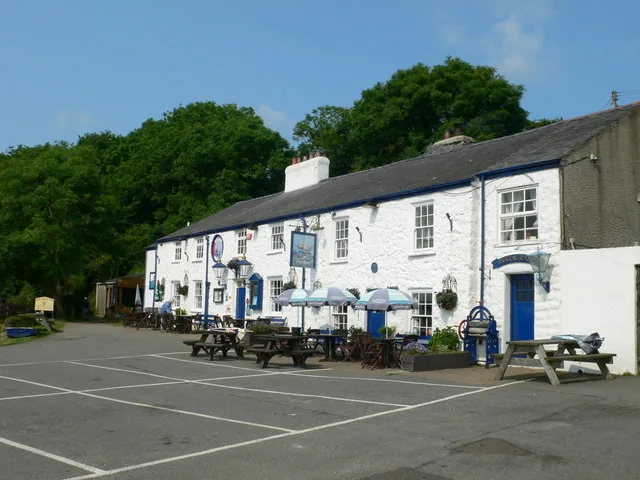
A small pub cluster at the seafront, including the Ship Inn and the Boathouse.
Accessibility & terrain
Arrival
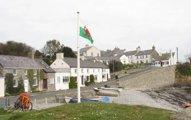
The seafront car park sits beside the pub cluster, so you reach the shoreline edge without a long walk.
On the flats
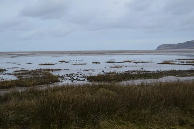
A vast tidal sand flat: level, but soft and wet in places, and the walkable surface changes entirely with the tide.
Not step-free onto sand
Expect the usual beach transition from car park to shore; no surfaced route runs out across the flats.
Distances deceive
The flats are big enough that the walk out feels shorter than the walk back. Judge distance against the tide, not the view.
Along the shore
The coast continues to Benllech, about 1½ miles round the bay, a walk in its own right rather than an extension of the beach.
Dogs & restrictions
On the beach
Red Wharf Bay is not one of the beaches under Anglesey’s seasonal (1 May–30 September) dog-control order.
Note
The council’s seasonal restriction list does not include Red Wharf Bay. Treat on-site signage as the authority on the day, and keep dogs under control near the wading birds working the tideline.
Safety, weather & local conditions
Tide
A large tidal flat: check tide times for the bay before walking out, keep track of the water behind you, and don’t assume you can walk back the way you came.
Lifeguard
Plan as though the beach is unpatrolled: assume no lifeguard cover, swim within your depth, and keep children close in the water.
Emergency
If you are in danger, call 999 and ask for the Coastguard.
PLACE-SPECIFIC DETAILS
Landmarks & wildlife
Castell Mawr
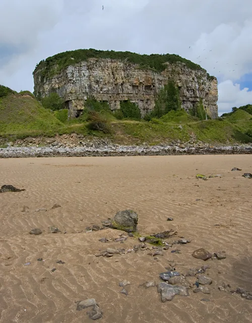
A limestone outcrop on the western shore, now a protected refuge for nesting seabirds and Anglesey’s only genuine karst.
Pentraeth Forest
Borders the bay’s western edge, the last refuge for Anglesey’s red squirrels before island-wide reintroduction.
Tideline birds
Oystercatcher, curlew, dunlin and shelduck, with wintering Brent geese.
Other place details
Bus
Route 62, roughly hourly (weekdays)
Hillfort
Bwrdd Arthur, at the east end
Landmark
Castell Mawr Rock, west shore
What to bring
Windproof layer
Walking shoes
Saved tide times
Water
Snacks
Dog lead if needed
Camera or binoculars
Don’t come for one view.
Come for how the bay changes shape. At low tide it opens into a stretch of sand large enough to measure in square miles, bookended by a limestone rock at one end and an Iron Age hillfort at the other.
Most of what makes it interesting sits at the edges: a red-squirrel forest on one side, a Viking-age trading post a mile inland, and a small cluster of pubs at the car park.
Castell Mawr and Bwrdd Arthur: either end of the bay.
Should this shape your day?
Easy, flat, and tide-ruled: a different kind of Anglesey coast.
Good fit for
open, level, big-sky beach walks
the coast path between Pentraeth and Benllech
birdwatchers interested in tideline waders
anyone curious about Anglesey’s Viking-age or red-squirrel history
Think twice if
you want cliffs, rockpools or surf
you want a lifeguarded swimming beach
you arrive at high tide expecting open sand
you need toilets outside mid-March–September (seasonal only)
Tide changes everything
Red Wharf Bay is tide-governed
check before setting out
Met Office times are read from the Moelfre station, at the bay’s north end
Time it around low tide, when the sand is at its widest, and take in Castell Mawr Rock on the way toward Benllech.
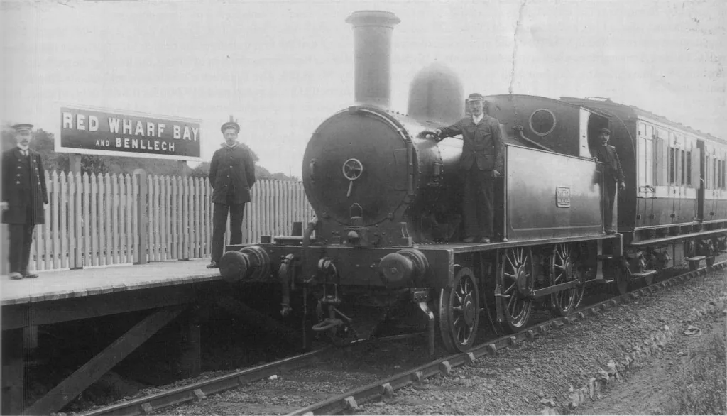
The bay once had its own railway station, closed to passengers in 1930, the track lifted by 1953.
One bay, six scenes.
See the shape of the visit before you commit to it.
01 Car park
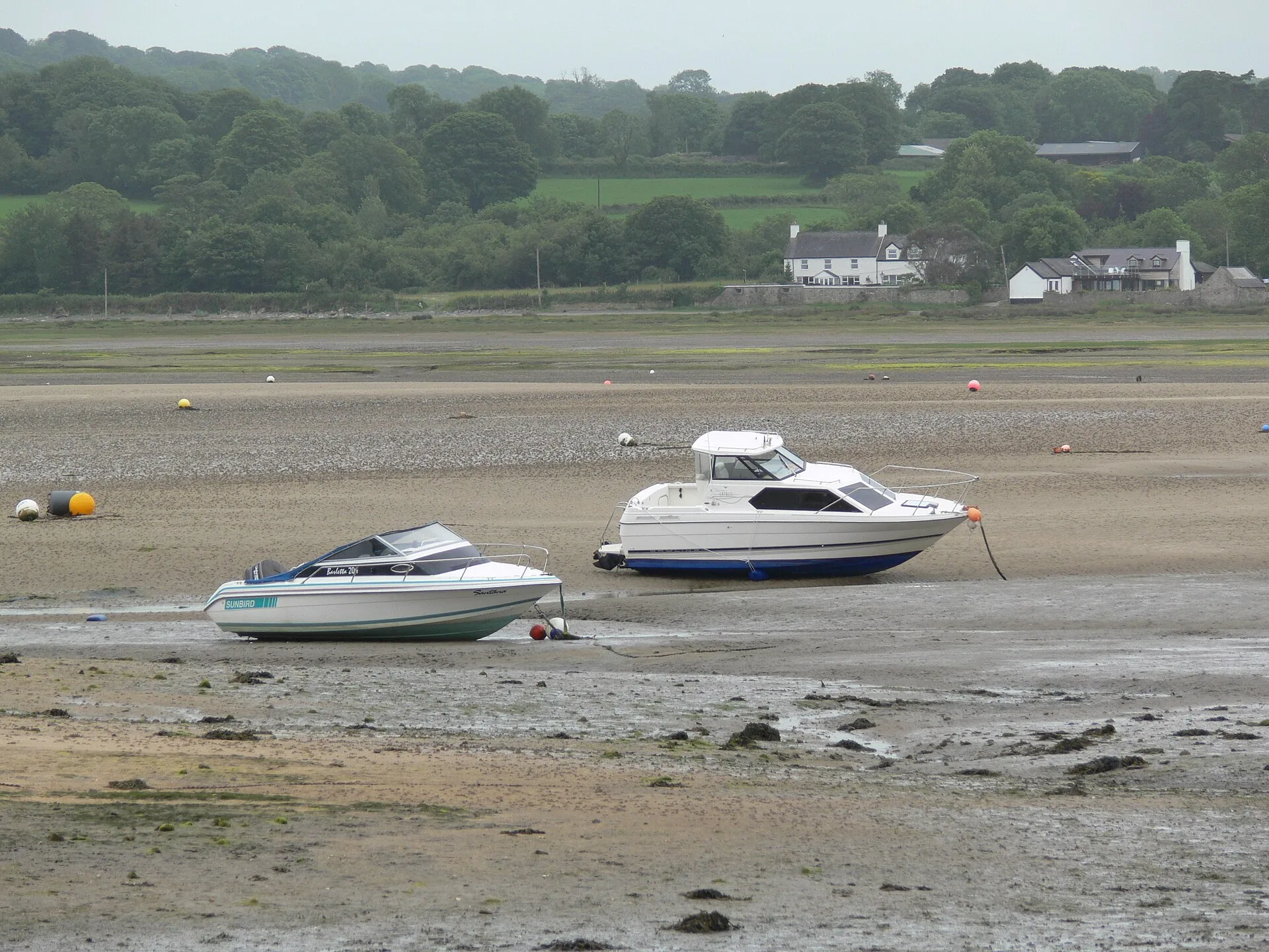
The seafront, next to the pub cluster.
02 Onto the sand
Tide permitting, the flats open out.
03 Castell Mawr
A limestone outcrop, now a seabird refuge.
04 Along the shore
The coast path continues toward Benllech.
05 Bwrdd Arthur
A short climb to an Iron Age hillfort.
06 Pentraeth Forest
Red squirrel country, on the bay’s edge.
Seen along the way.
Sand, dune, rock and water: the visit before you make it.
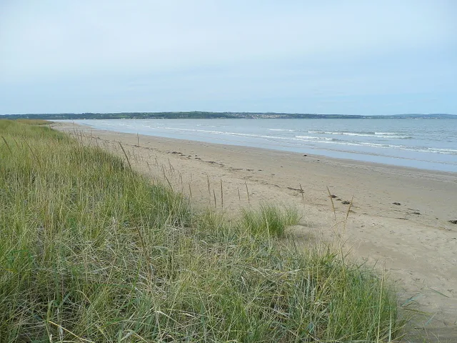
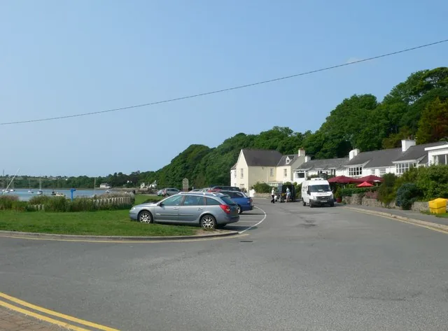
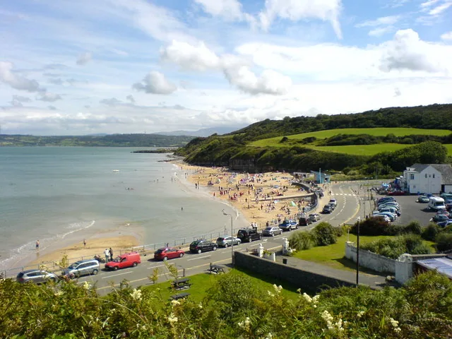
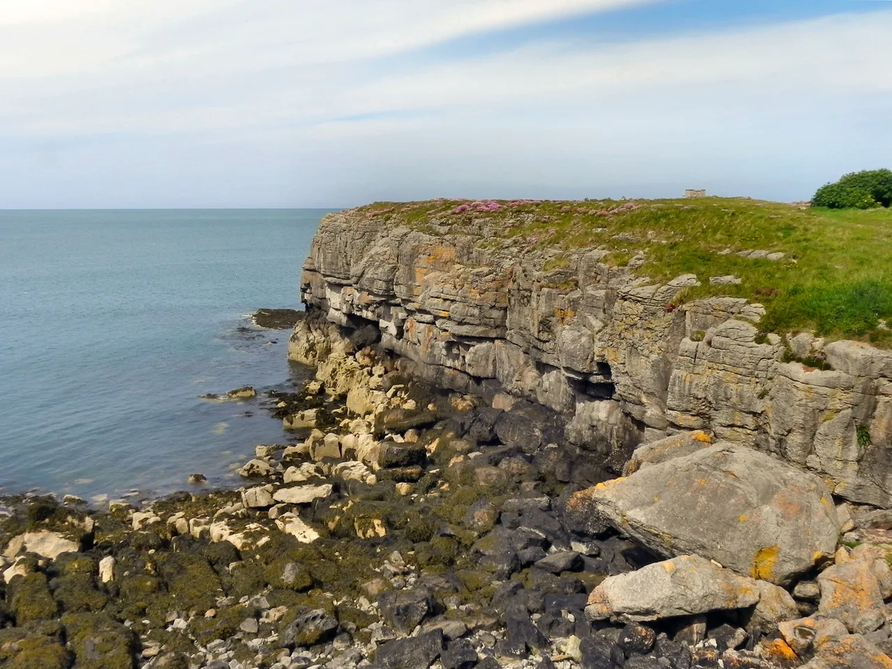
Castell Mawr: the landmark rock on the western shoreThe salt marsh at the bay’s edgeDune-backed sand along the shoreThe Ship Inn, at the seafrontNear the Boathouse, looking along the shore
The parts people remember
Everything here is decided by when you arrive. At low water the bay is a plain you can walk out into; hours later most of it is under the sea.
01
The far edge never quite arrives
Walk out at low water and the exposed sand keeps stretching ahead. Distance here is difficult to judge by eye.
02
The walk back is the long one
Going out feels quick. On the return, the seafront can seem much farther away than it did when you set out.
03
Both ends of the bay at once
From out on the flats the whole bay reads in one look: a pale limestone outcrop closing the western shore, high ground at the eastern end, and the pubs a small fixed point behind you.
04
The ground keeps changing underfoot
Firm sand one minute, soft and wet the next, then salt marsh where the flats run up to the shore. You end up picking a line rather than walking straight.
05
You come back across a different beach
The bay you walked out onto and the bay you return over are not the same shape, and the change happens behind you while you are looking the other way.
Few beaches ask you to check the tide before you can say how big they are.
Bay Archive
Old ground, carefully told.
Three field notes on what stands at the bay’s edges: a hillfort, a landmark rock, and a Viking-age trading post a mile inland.
Some of this is recorded archaeology. Some of it is local tradition. The two are kept separate here.
Field notes
Three entries. Open one to read the note.
Heritage Fact
Bwrdd Arthur
Field note I · filed under heritage
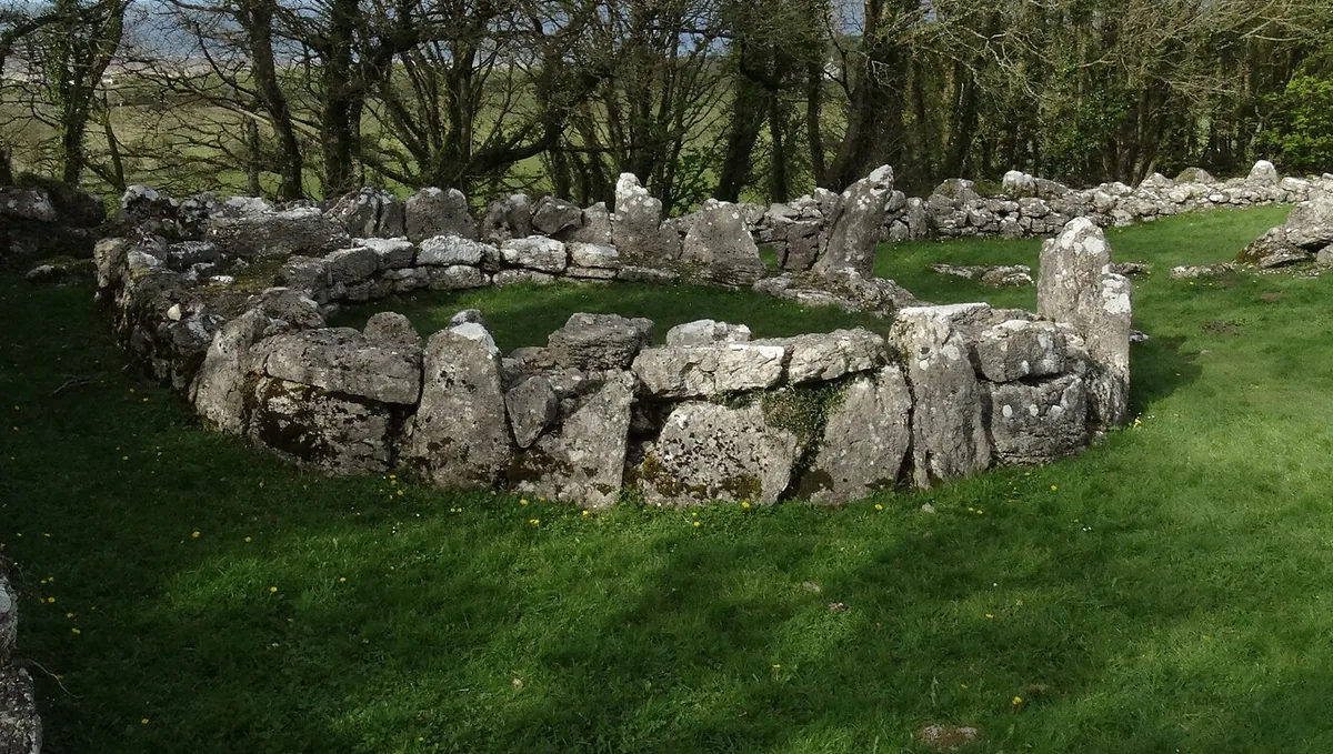
At the bay’s eastern end, a limestone plateau carries the walls of an Iron Age hillfort.
What is known
Coflein (RCAHMW) records Bwrdd Arthur, also called Din Sylwy, as an Iron Age and Roman-period defended enclosure, a drystone boulder wall with two entrances. Roman-period finds date to the 3rd–4th centuries.
What the name suggests
“Bwrdd Arthur” means Arthur’s Table. It is one of several Welsh sites carrying an Arthurian name. No documented link ties this specific hillfort to Arthurian legend beyond the name itself.Name only · not a documented link
What to notice there
The tiny medieval church of St Michael sits on the hill’s eastern side. The plateau rises at the bay’s eastern end, a short, steep climb from the shore.
Geology & landmark Fact
Castell Mawr Rock
Field note II · filed under the western shore
“Great castle”: imposing enough to earn the name, though no castle ever stood here.
What is known
A large limestone rock on the bay’s western shore, today a protected refuge for nesting seabirds. It is the only place on Anglesey with genuine karst (small caves and solutional cavities) in Benllech Limestone of Carboniferous age.
What is uncertain
The outcrop was probably once an Iron Age fort site; the records go no further than “probably.”Records say “probable”
What to notice there
It sits between the village and St David’s Holiday Park, visible from the car park end of the bay, and a natural first landmark on the walk out.
Viking age Fact
Llanbedrgoch
Field note III · filed under a mile inland
A mile from the bay, a genuine Viking-age trading settlement: not a legend, an excavation.
What is known
Excavated 1994–2012 by Amgueddfa Cymru – National Museum Wales, Llanbedrgoch grew from a 7th-century farmstead into a Viking-age trading centre active in the late 9th–10th centuries: timber halls, a 9th-century stone rampart, and finds including Anglo-Saxon and Viking coins, lead weights, and evidence of silver-working.
A separate tradition
The bay’s own name, Traeth Coch (“red beach”), carries a local tradition linking it to a 1170 Viking battle said to have stained the shore: a story, not a documented event, and separate from the excavated settlement itself.Legend · not documented history
What to notice there
Llanbedrgoch is about a mile from the bay: south of Benllech, west of Red Wharf Bay. It is a detour, not something seen from the shore.
Don’t let the day end at one bay.
Four stops that turn Red Wharf Bay into an Anglesey day.