A small beach that takes a steep, unpaved path to reach, and a climb back out.
CHECK FIRST · TIDE
Check tide times for Church Bay before you treat this as a swim beach. At high tide the usable shore shrinks under the cliffs. Met Office, reading from the Holyhead station 4.7 miles south.
Time needed
1.5–3 hr · longer with a coast-path walk
Best time
Settled weather, around lower tide
Opening, entry & booking
Open access, free, no booking · pay-and-display car park
Access & difficulty
Moderate · steep, unpaved descent and a harder climb back
Parking & start point
Pay-and-display above the cove · near Rhydwyn, off the A5025
Getting there
A5025, then narrow lanes to Rhydwyn · bus 61 limited, car preferred
Toilets, food & facilities
Toilets by the car park, likely seasonal · food nearby · none at beach level
Dogs
Allowed year-round · under control near cliffs and wildlife
Plan with confidence.Detailed information on arrival, access, facilities, restrictions and local conditions.
Opening, entry & booking
Open
The beach and cove are open access all year, free, with no ticket and no booking.
What you pay for
Parking only: the main visitor car park above the beach is council pay-and-display.
Seasonal facilities
The public toilets by the car park follow the council’s seasonal coastal pattern, so treat them as summer-only; there are none at beach level.
Local rules
Any current beach restrictions are posted on the car-park signage, and that signage is the authority on the day.
Parking, start point & arrival
Where
From the A5025 coast road, narrow local lanes drop towards Rhydwyn and the cove. The main visitor parking is a council pay-and-display car park above the beach.
Finding it
Open Porth Swtan in Google Maps: the cove itself; the car park sits on the lane above it. Approach from the A5025 towards Rhydwyn.
Tariff
The council lists Swtan/Church Bay among its coastal car parks, and its April 2026 schedule sets the coastal rate at £1.50 for an hour, £4 for two, £8 for four and £12 for up to twelve. Rates are reviewed and can change; the tariff board on site is the authority on the day.
Mobile signal can be patchy here, so bring coins rather than relying on app or card payment working.
Capacity
Capacity is limited and the car park can fill on sunny summer weekends. Arrive earlier on fine days.
Opening
The cove is open coast with no formal opening hours; the car park and toilets may be seasonal.
Public transport & car-free access
By bus
The 61 (Amlwch–Cemaes–Valley–Holyhead, operated by Lewis y Llan) calls at Rhydwyn, the nearest stop to Church Bay. Services are limited. Service 61 timetable: the county council’s own PDF. Check the current service before travelling.
By rail
The nearest useful rail station is Holyhead, around 12–13 miles by road. From there you would need a taxi, bike or local bus connection.
Final stretch
Rhydwyn is the nearest stop, and the lanes down to the cove have no pavement. Allow time on foot at the far end.
Toilets, food & facilities
Toilets
Public toilets sit near the main car park, on the council’s seasonal coastal pattern. There are none at beach level, so use them before you go down.
Food
The Lobster Pot seafood restaurant and Wavecrest Café both sit above the bay. The Church Bay Inn, inland at Rhydwyn, is a pub, and CAMRA records that no food is served there. Opening varies with the season at all three, so check current opening times rather than planning a meal around them: The Lobster Pot · Wavecrest Café · Church Bay Inn.
Money & signal
There is no ATM at Church Bay and mobile signal can be patchy. Carry some cash or coins.
Services
No visitor centre, and no reliable disabled facilities given the steep terrain.
Accessibility & terrain
Descent
This is not a step-out-of-the-car beach. Expect a steep, unpaved path down and a harder climb back up.
Not ideal for
It is not suitable for wheelchairs and can be awkward with pushchairs, small children, heavy beach gear or older dogs.
Underfoot
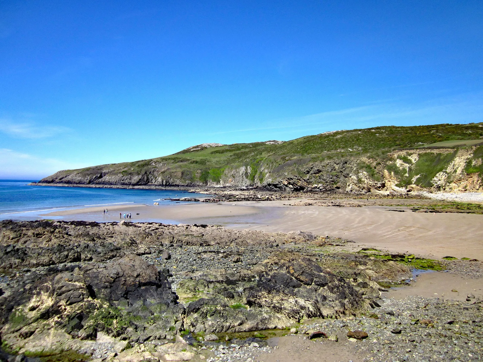
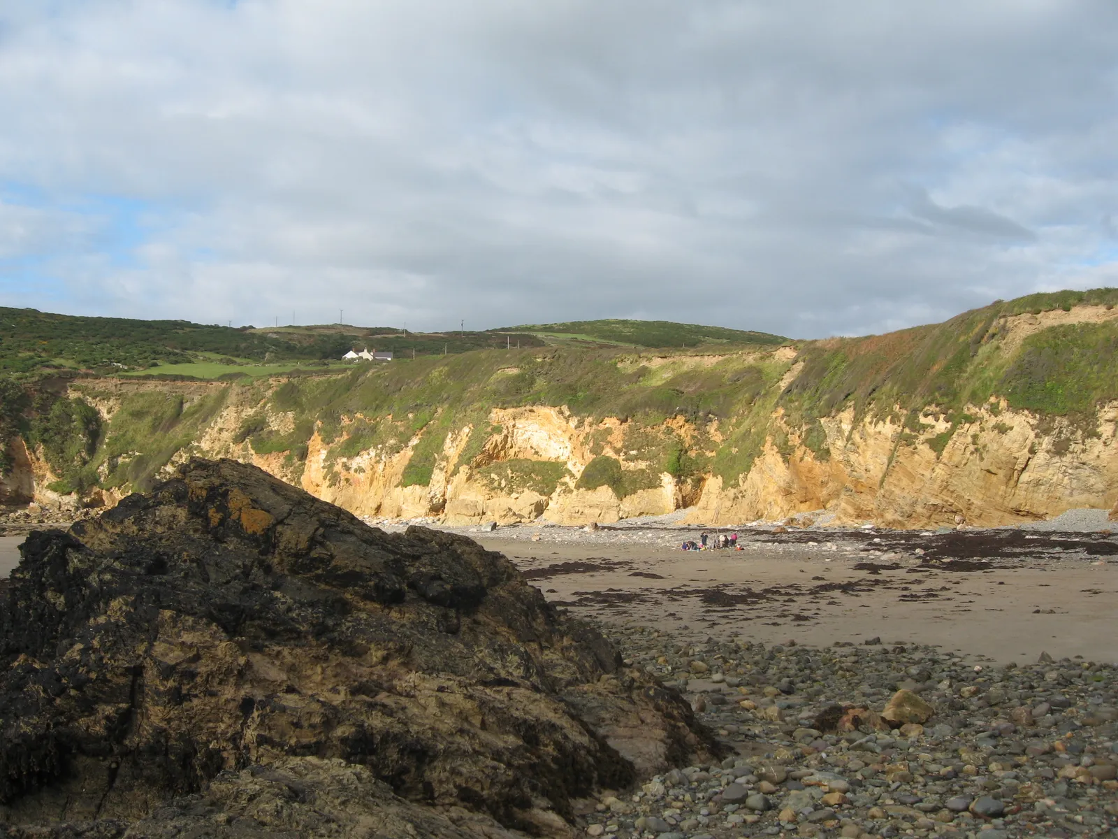
The beach itself is a mix of sand, pebbles and rock, uneven underfoot. Take care near the cliff edges and on the rock platforms.
Coast path
The Anglesey Coast Path runs along the cliffs above the bay.
Dogs & restrictions
Dogs
Dogs are allowed year-round. Keep them under control near other visitors, cliffs, wildlife and the rock pools, and clean up after them.
Local signage
Current beach restrictions are shown on car park signage on arrival.
Safety, weather & local conditions
Lifeguard
Treat the beach as unpatrolled and swim cautiously. Patrols and their dates change season to season, so check the RNLI’s lifeguarded beaches before you count on cover.
Tide
Tide timing affects swimming, rockpooling and settling on the lower beach. See the tide rule above for the current check.
Sea state
The bay can be calm but is open to the Irish Sea, and northwest winds make it choppy. The water stays cold even in summer.
Cliffs & rocks
Avoid sitting beneath the cliffs, don’t climb unstable rock, beware sudden waves on the rock platforms, and don’t dive from the rocks.
Emergency
In a coastal emergency call 999 or 112 and ask for the Coastguard.
Main planning gate
Tide & sea stateTide-aware
Swimming
Conditional · no permanent lifeguard cover; cold water year-round
What to bring
Sturdy shoes for the descent
Windproof layer
Water
Towel
Beach shoes for the rocks
Tide checked before you arrive
Cash or coins (no ATM)
Charged phone (patchy signal)
Atlas of Wales Discovery Highlight
The cove below the road.
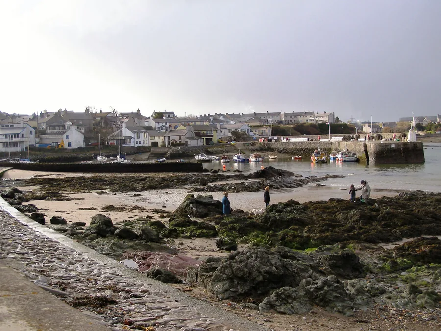
Church Bay does not reveal itself all at once. From the village edge you drop towards a small cove held between cliffs, with the Anglesey Coast Path above and rock pools waiting lower down the shore.
It is a simple place: water, stone, wind and a hard little climb back up. That is the point.
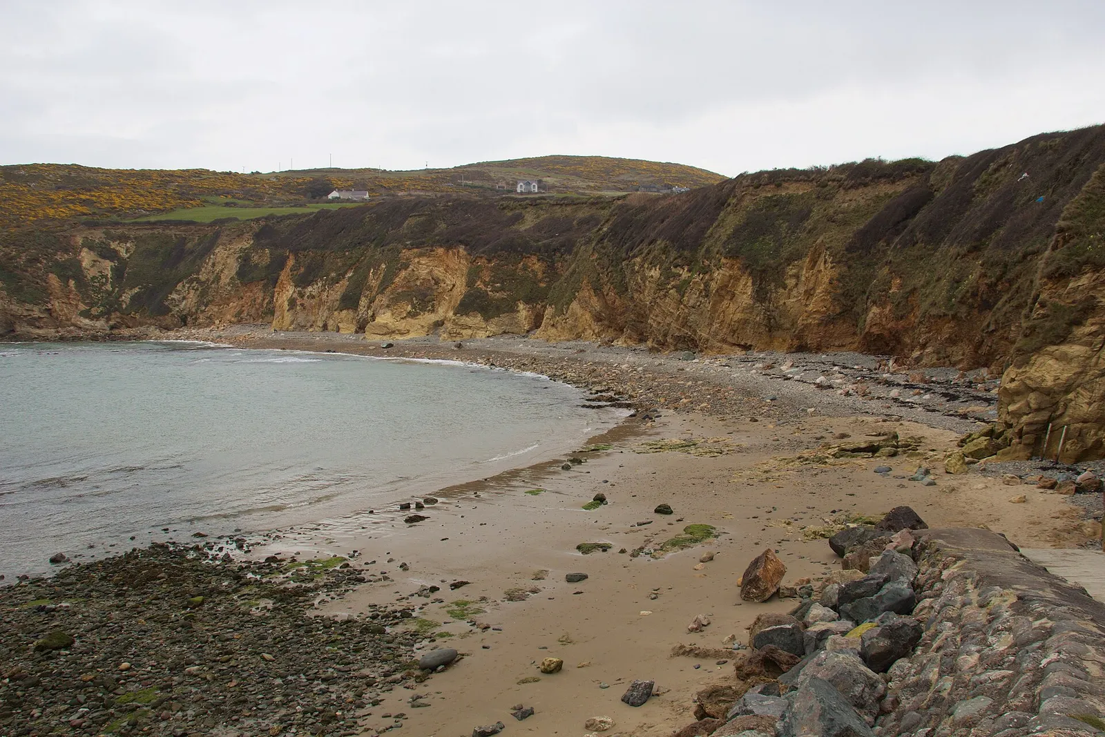
A cove between cliffs, the coast path on the skyline.
Atlas of Wales Verdict
Is Church Bay your kind of day?
Worth it if you want a real cove, not an easy beach day.
Good fit for
rockpooling at lower tide
short coastal walks on the Anglesey Coast Path
quiet beach time outside peak summer
careful dog walks
cold-water dips in calm conditions
Think twice if
you need wheelchair or pushchair access
you are relying on public transport without checking times
you need lifeguard-supervised swimming
you want guaranteed café or toilet opening
you dislike steep climbs
Tide & sea state decide
no permanent lifeguard cover, so swim only in settled conditions
check tide and sea state before the lower shore
Met Office times are read from the Holyhead station, 4.7 miles south
Arrive around a suitable tide, travel light, explore the rock pools, then walk a short section of the coast path before food nearby.
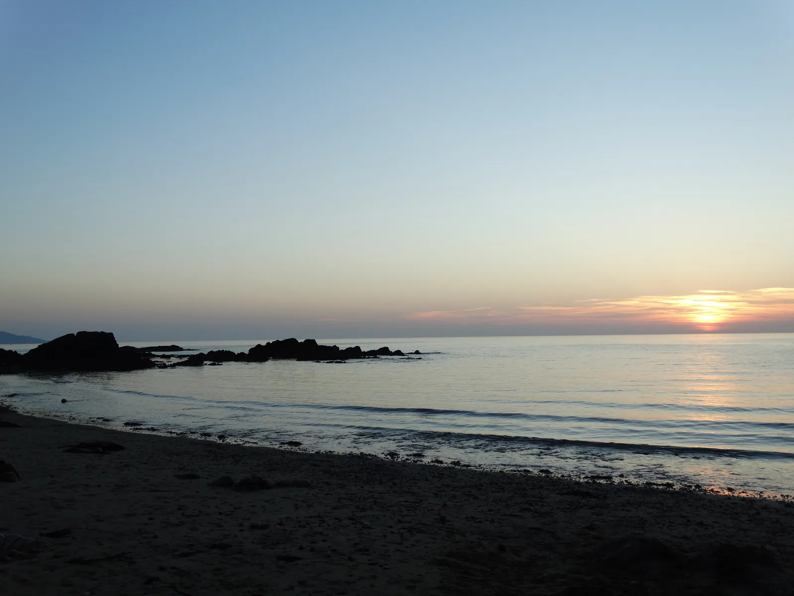
Church Bay at sundown. The Irish Sea catches light here at the end of the day.
How your visit unfolds
Down to the cove, and back out.
A loose rhythm rather than a route, shaped around the tide and the climb.
01 Arrive above the bay
Park in the small car park near Rhydwyn and sort payment before you head down.
02 Check tide & conditions
Read the tide and the wind before you commit to the path.
Check before you descend
03 The path down
The lane is behind you within a minute. This is where the bay separates from the road.
04 Read the tide
At lower water the rock pools and wider beach open up; at high tide the cove feels tight.
Low water is best
05 Stay low or climb high
Spend time on the beach, or take the coast path above for cliff views along the north coast.
06 Climb back out
Leave energy for the steep walk up, more so with children, dogs or wet gear.
07 Food nearby
The Lobster Pot or Wavecrest Café, both above the bay. Check opening before you count on either.
The cove, in pictures
What you’re walking down to.
The cove, the rocks, the coast above, and the church that gives the bay its English name.
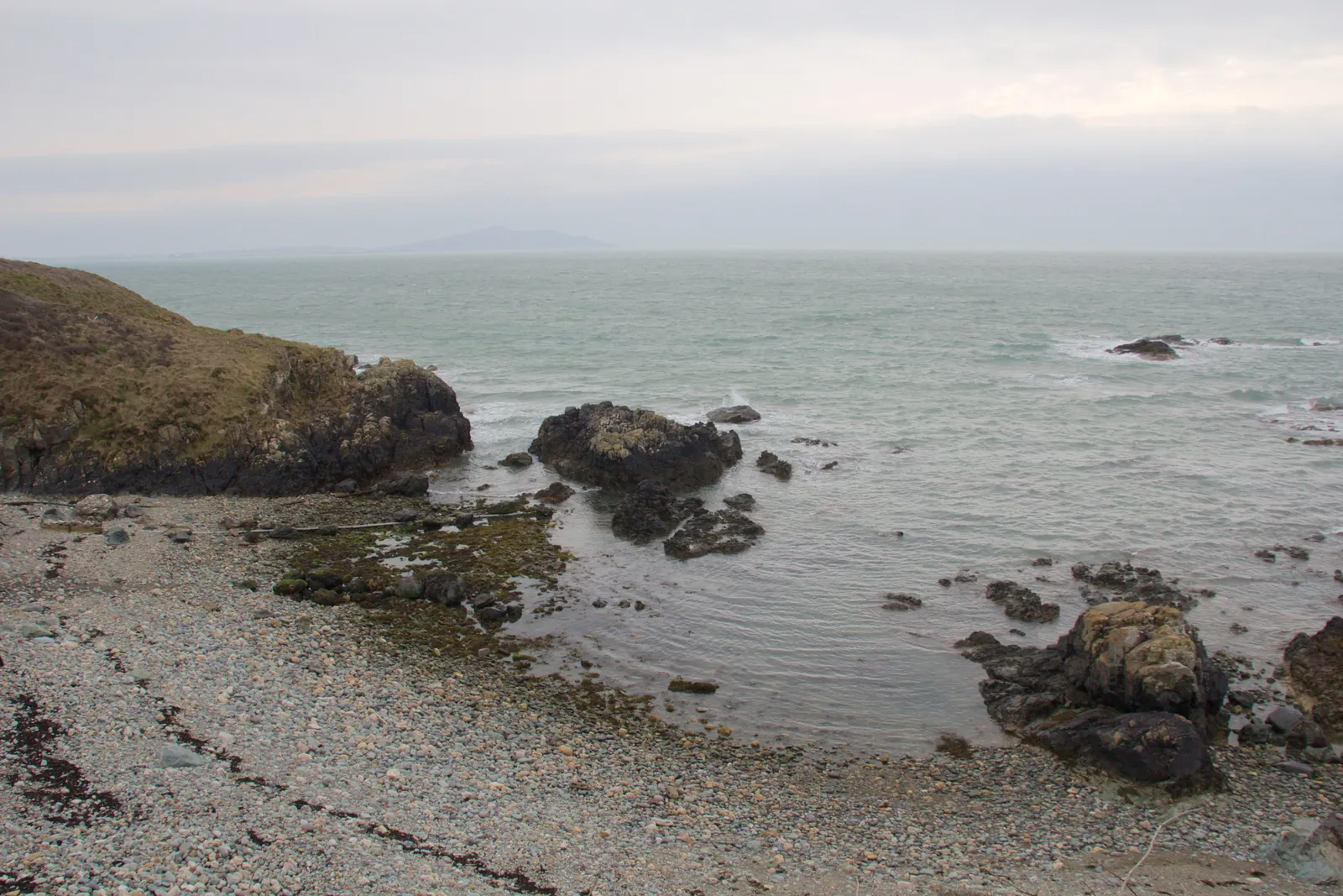
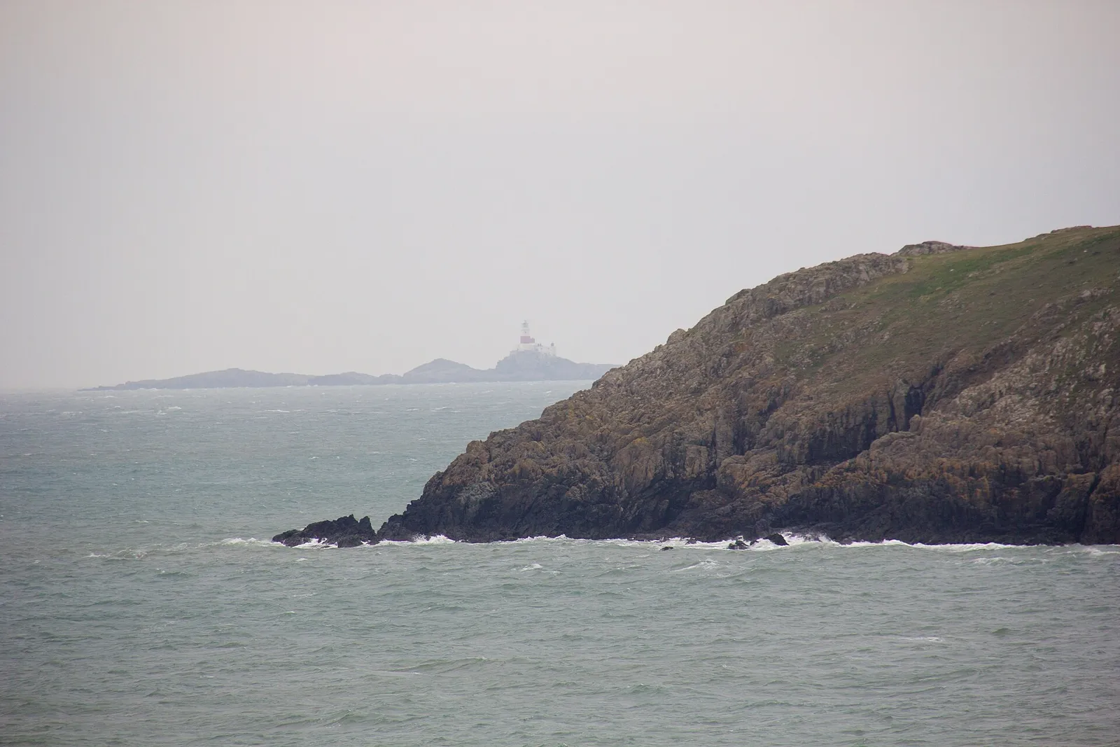
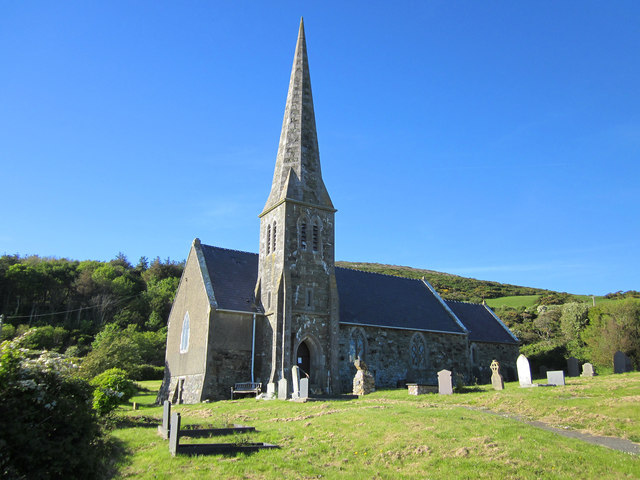
The cove from above: cliffs, cottages and the beach belowSand, pebbles and rock: the shore underfoot at lower tideLooking south from Church Bay: the Irish Sea open to the horizon, cliffs on both sidesAn orange rock exposure at low water: the beach seen from the shorelineSt Rhuddlad at Llanrhyddlad, the church that gives this cove its English name
What stays with you
The parts people remember
Church Bay is small and a little awkward to reach. That is exactly why people remember it.
01
An orange seam at low water
At the bottom of the tide a band of rust-coloured rock shows along the shore, brighter than anything else on the beach.
02
The rock pools at lower tide
Church Bay is at its best when the tide gives you space to pick around the rocks and pools.
03
The cold clear water
Even in summer this is Anglesey water: clean, sharp and colder than it looks.
04
The coast path above
The cliffs and the Anglesey Coast Path keep the cove half-hidden until you are right above it.
05
The climb puts it away again
The way out is the way in, reversed and steeper. A few turns up the unpaved slope and the cove drops out of sight behind the cliff, as hidden from the coast path as it was before you found it.
A small cove that still asks something of you, and feels more hidden than it really is.
From the Porth Swtan archive
The bay, carefully told.
A few field notes on the cove and its setting: what is known, and what still needs checking.
More documented coast than legend. Where the record runs out, the note says so rather than filling the gap.
Field notes
Three entries. Open one to read the note.
Heritage & restoration Folk museum
Swtan: the thatched cottage
Field note I · filed under the restored cottage
Above the cove, a restored cottage keeps an older way of life in view.
What is known
Swtan Heritage Museum is a restored 17th-century thatched cottage near the beach, run as a small folk museum and open seasonally.
What is still uncertain
Its precise history and current opening pattern are uncertain.Seasonal opening
What to notice there
A low thatched roof and thick walls above the bay, a rare survival of a once-common Anglesey building. It pairs naturally with the walk down to the cove.
Place name Two names
Church Bay / Porth Swtan
Field note II · filed under the name
An English name and a Welsh name for the same small cove.
What is known
The bay carries two names: Church Bay in English and Porth Swtan in Welsh. “Porth” is the Welsh word for a cove, harbour or landing place.
What is still uncertain
The exact origin is uncertain.
What to notice there
Both names are in everyday local use. Don’t be thrown if a map, a sign or a bus stop says Porth Swtan rather than Church Bay.
Landscape & coast Protected coast
A protected northwest coast
Field note III · filed under the wider setting
The cove is one small part of a larger protected shoreline.
What is known
Church Bay sits within Anglesey’s protected northwest coast (the North Anglesey Heritage Coast and the wider Anglesey protected coastal landscape), with the Anglesey Coast Path running along the cliffs above the bay.
What is still uncertain
The designations here overlap and their boundaries are not obvious on the ground, so treat the whole clifftop as protected rather than looking for a line.
What to notice there
From the coast path above the bay, the cove, the cliffs and the open Irish Sea come together in one view. Stay on the path near the cliff edges.
Continue exploring
Make it a northwest Anglesey day.
Four stops that pair with the cove along Anglesey’s north and west coast.