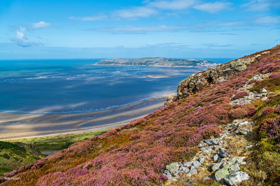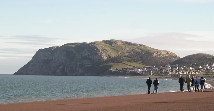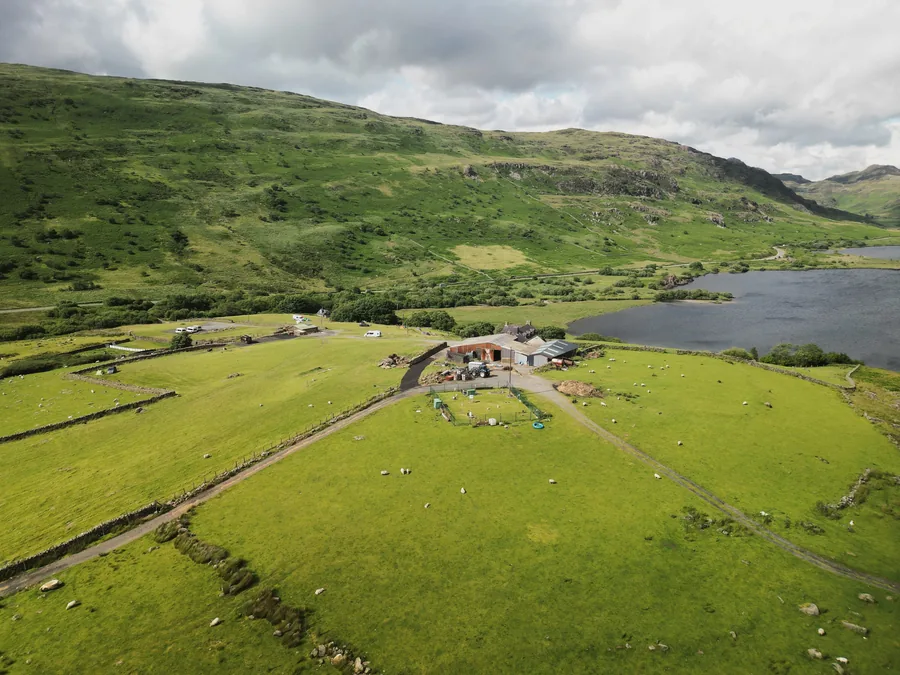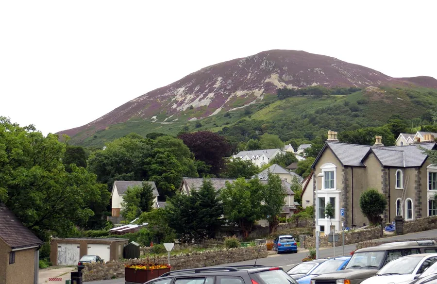
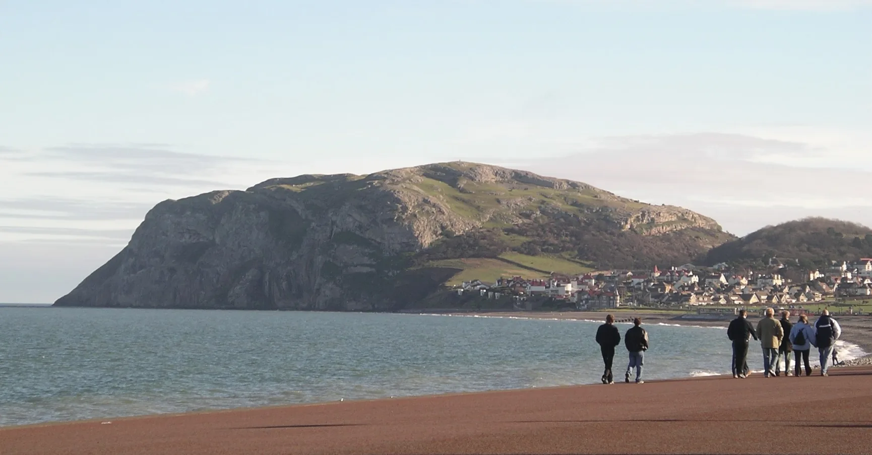
A limestone headland rising from the sea above the beach and seafront at Llandudno on the north coast of Conwy, walkers on the shore, the town gathered at the foot of the cliffs.

Conwy Atlas

Headlands, castle walls, river valleys and mountain roads — a compact county that changes character within a few miles.

Estuary & valley Headlands to mountains

The county

Conwy is smaller than Gwynedd, but not simpler. The promenade, castle walls, river valley and mountain country sit close together — yet each asks for different weather, timing and pace.

It changes character within a few miles. A headland morning and a mountain afternoon look near on the map, but they are different days. Pick the kind of day first, then the place.

Field notes

How to use this atlas.

Pick a landscape or a part of Conwy, compare the thirty places charted so far, then open the full guide for parking, routes, tides and timing.

Best for
Coast and headlands, a walled town, river woodland, mountain-edge country
Best pace
One kind of day at a time — the coast and the mountains aren't the same day
Best base
Llandudno for the coast, Conwy for the town, Betws-y-Coed for the woods and hills
Best light
Clear mornings on the Ormes; low afternoon sun in the valley woods
Start with
Conwy Castle, the Great Orme, or Swallow Falls
Watch for
Changing mountain weather, unfenced clifftops, the tidal estuary, busy car parks

Pick the landscape, not the postcode.

Four kinds of day in a compact county — sorted by the ground under your feet, not the distance on the map. Conwy changes character fast, so the landscape you choose sets the weather, the pace and the drive.

Get oriented

Find your part of Conwy.

Conwy is small, but it isn't one place. It runs north to south in four parts — coast, walled town, river valley and mountain edge — each with its own weather and reasons to go. Pick a part, and you've narrowed the county to a day.

The real outline of Conwy with every charted place at its true coordinate, its four parts labelled north to south North coast Conwy town Castle · Plas Mawr Conwy Valley Mountain edge

The real outline of Conwy, simplified from Ordnance Survey county data, with every place at its true position. Read it top to bottom — coast, walled town, river valley, mountain edge: the colour wash and labels mark the four parts and the north-to-south axis, not exact borders. The middle of the valley is charted lightly so far. An orientation key, not a road map.

The full atlas

The Conwy record, charted so far.

Every Conwy place we've stood in and written up, in one index. Start with the signature place below, or search the list by name, landscape or part of the county.

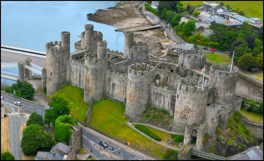
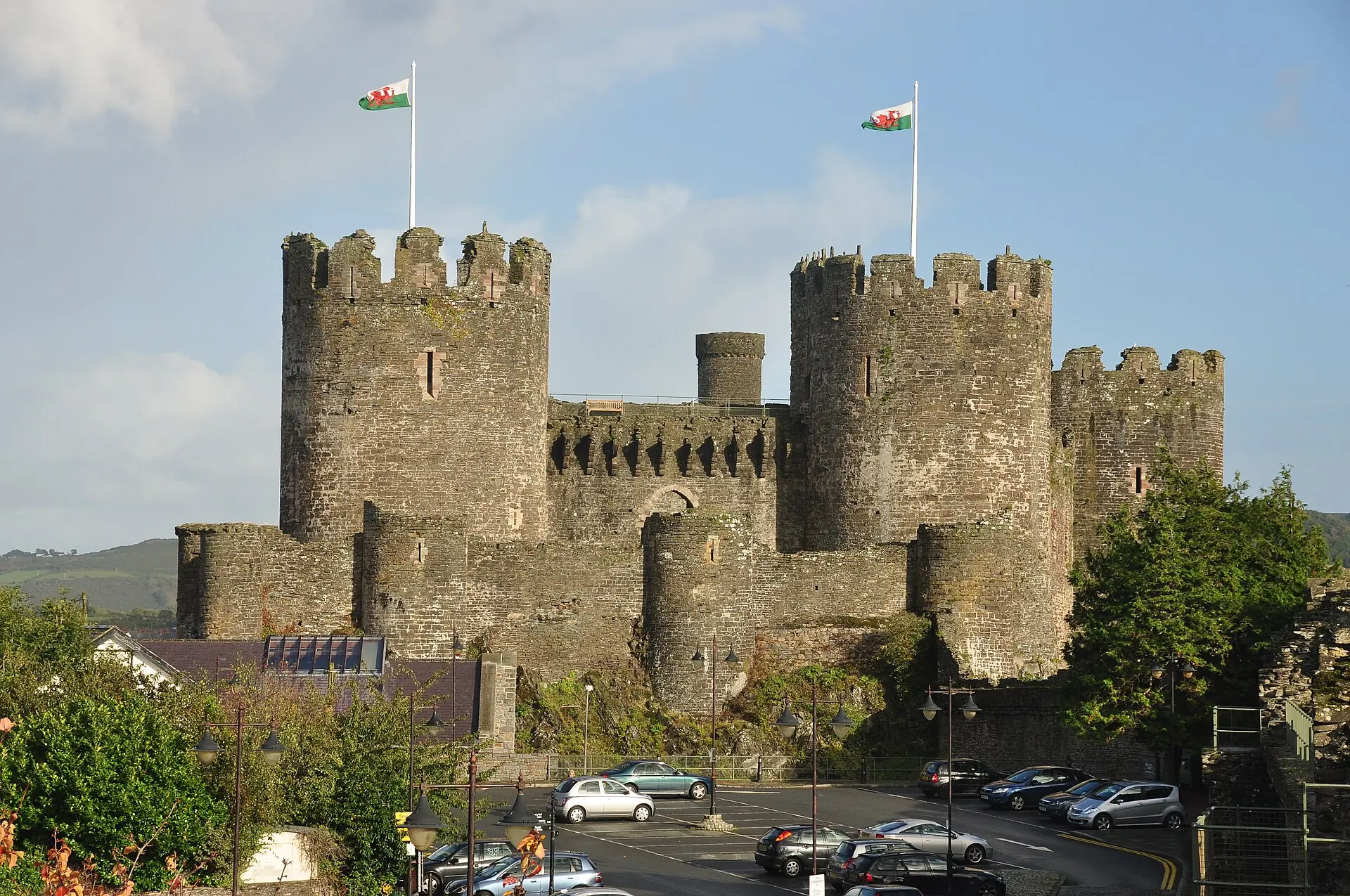
Signature place The eight towers and curtain walls of Conwy Castle standing whole above the town, two Welsh flags flying, the hills of the Conwy valley behind.
Signature · the county's front door

Conwy Castle

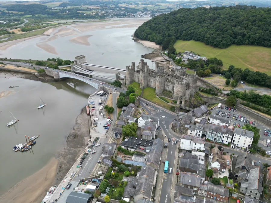
Eight towers and a complete wall-walk above the estuary, where three very different bridges cross the water below — Telford's suspension bridge, Stephenson's railway tube and the modern road. The natural place to start the county, though it's only the start: Conwy is coast, river valley and mountain too.

1–2 hours · easy pace — good in most weather Read the guide
Not sure where to start? For the sea and the views, the Great Orme. For history under cover, Conwy Castle and Plas Mawr. For woodland and water, Conwy Falls or Swallow Falls. For a full mountain day, Moel Siabod.

Landscape & type
Part of Conwy

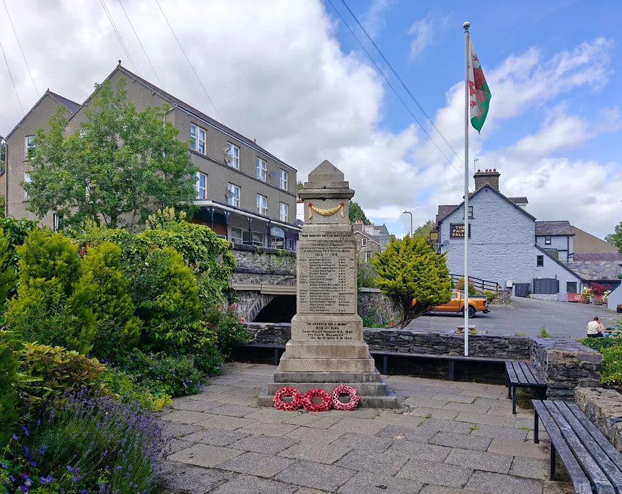
Worth the driveThe war memorial at Trefriw with the Welsh flag flying beside it, the village and its wooded hillside behind.

Trefriw

The Conwy Valley

A village on the west bank of the Conwy that still runs on water: a mill the river drives, a waterfall five minutes off the street, and the two churches Llywelyn Fawr left behind.

Worth the driveThe historic blue Great Orme Tramway car climbing the grassy summit of the Great Orme above Llandudno, Conwy.

Great Orme

Llandudno & the north coast

A 207 m limestone headland over Llandudno, with a 4,000-year-old Bronze Age copper mine beneath it and a Victorian tramway to the top.

Hidden gemThe Little Orme headland rising from the sea above the Llandudno shore, Conwy.

Little Orme

Llandudno & the north coast

The quieter headland east of Llandudno above Penrhyn Bay: nesting seabird cliffs, and a clifftop that's the place to watch for grey seals.

SignatureThe eight round towers and curtain walls of Conwy Castle above the town and estuary, Conwy.

Conwy Castle

Conwy town & the estuary

Eight towers and a complete battlement circuit above the estuary, where three very different bridges cross the water below.

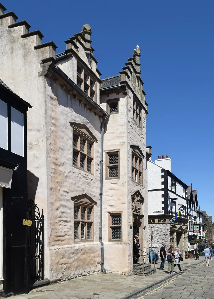
Worth the driveThe whitewashed, stepped-gable front of Plas Mawr, an Elizabethan town house on a cobbled Conwy street.

Plas Mawr

Conwy town & the estuary

Britain's best-preserved Elizabethan town house, its plasterwork still carrying the Wynn family's heraldry two streets from the castle.

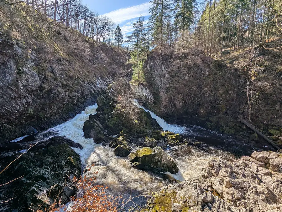
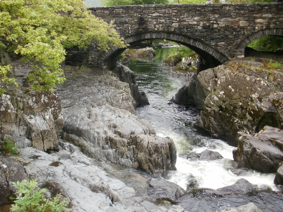
Hidden gemWhite water rushing through the wooded rock gorge of Conwy Falls on the River Conwy near Betws-y-Coed, Conwy.

Conwy Falls

The Conwy Valley

A steep woodland path drops into an SSSI gorge to a waterfall and salmon ladder on the River Conwy, at the head of the valley near Betws-y-Coed.

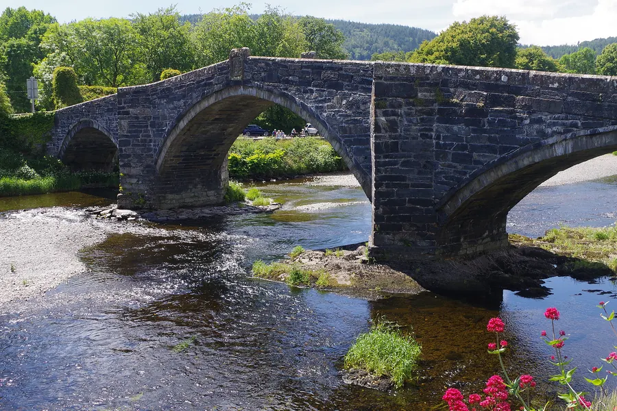
Worth the drivePont Fawr, the three-arched stone bridge of 1636, crossing the River Conwy at Llanrwst.

Llanrwst

The Conwy Valley

The Conwy Valley's working market town, with a Grade I bridge of 1636, a church holding a 13th-century stone coffin, and a Tudor house with Grade I gardens across the water.

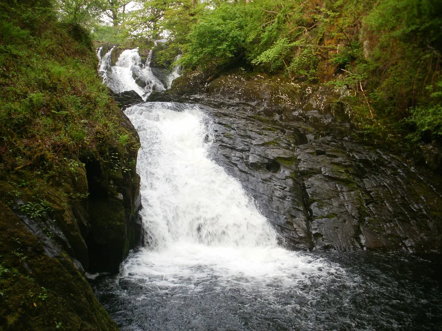
Worth the driveThe Afon Llugwy dropping over the rock steps of Swallow Falls in woodland near Betws-y-Coed, Conwy.

Swallow Falls

Betws-y-Coed & the mountain edge

A £2 turnstile off the A5 near Betws-y-Coed drops onto a cascade on the Afon Llugwy: open all year, day and night.

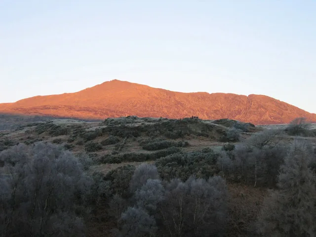
SignatureThe slate crag and summit of Moel Siabod rising above forest and moorland near Capel Curig, Conwy.

Moel Siabod

Betws-y-Coed & the mountain edge

An 872 m summit above Capel Curig: the hands-on Daear Ddu ridge one way, a gentler shoulder the other, and most of Eryri's peaks in view from the top.

Worth the driveLlynnau Mymbyr near Capel Curig, the mountains of Eryri reflected in still water.

Capel Curig

Betws-y-Coed & the mountain edge

The A5/A4086 crossroads village in Eryri, with Plas y Brenin's National Mountain Centre and the Llynnau Mymbyr lakes where the Snowdon Horseshoe reflects on a still day.

Worth the driveAn aerial view of Conwy, its 13th-century castle and town walls above the estuary, the suspension bridge and railway bridge crossing the river beside it.

Conwy

Conwy town & the estuary

A complete medieval walled town on the estuary. A 13th-century castle, 1.2km of town wall, an Elizabethan house, the smallest house in Britain, and three bridges of three different centuries.

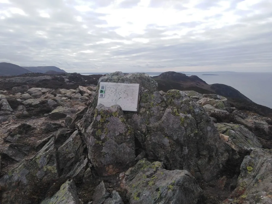
Worth the driveMynydd y Dref's summit ridge, with the ramparts of Castell Caer Seion hillfort along the top.

Mynydd y Dref (Conwy Mountain)

Conwy town & the estuary

A 244 m ridge straight out of Conwy's medieval walls, its summit crowned by the Iron Age hillfort Castell Caer Seion.

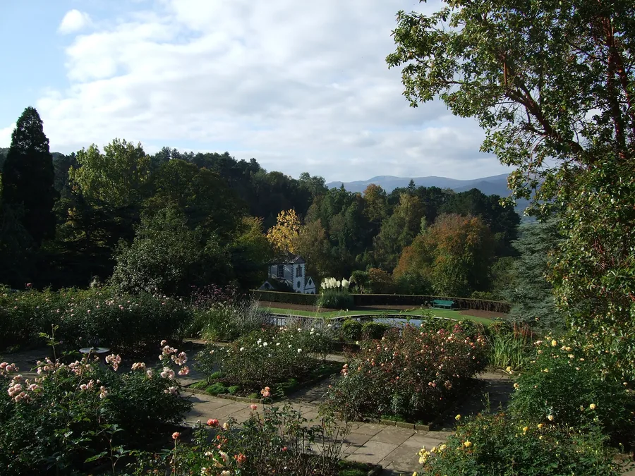
Worth the driveAbove the Rose Terrace at Bodnant Garden, looking out over the formal garden to the hills beyond.

Bodnant Garden

The Conwy Valley

An 80-acre Grade I garden above the Conwy valley: Italianate terraces, the wooded Dell, and a 55-metre Laburnum Arch each late May.

Worth the driveLlyn Crafnant, a lake in Gwydir Forest, Conwy Valley, seen from Maes Mawr looking down its length.

Llyn Crafnant & Llyn Geirionydd

The Conwy Valley

Two forest lakes above Trefriw, linked by an official NRW trail through old mining ground: a real two-stop walk, not a single beauty spot.

Worth the drivePont y Pair Bridge over the Afon Llugwy in the centre of Betws-y-Coed.

Betws-y-Coed

Betws-y-Coed & the mountain edge

The village where Telford's 1815 iron bridge crosses the Conwy, with Eryri's own information centre and Gwydir Forest's trails on its doorstep.

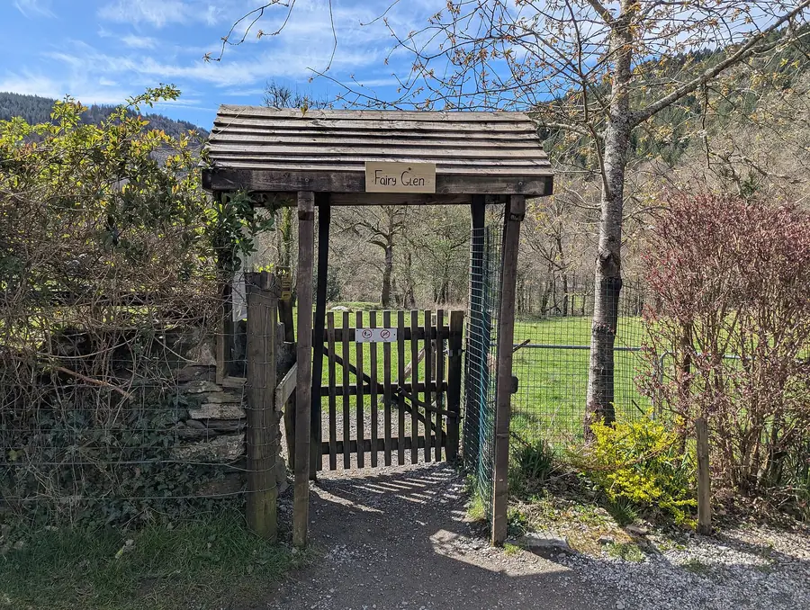
Worth the driveThe wooden Fairy Glen gate marking the entrance to the gorge near Betws-y-Coed.

Fairy Glen

Betws-y-Coed & the mountain edge

A short, steep private path drops into a narrow gorge on the River Conwy: mossy rock, cascades, and a name borrowed from Welsh mythology, near Betws-y-Coed.

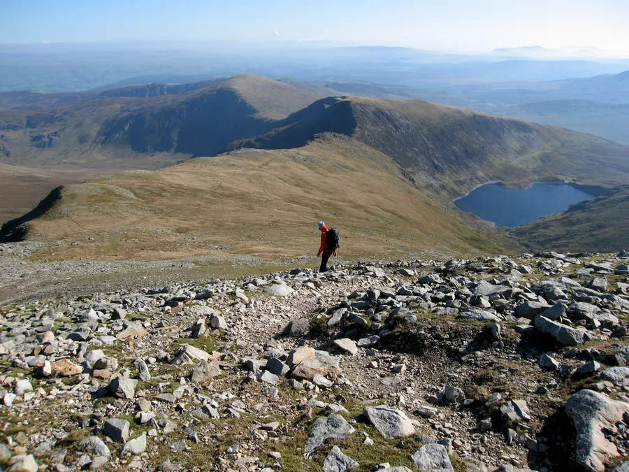
SignatureA walker on the stony ridge below the summit of Carnedd Llewelyn, a mountain tarn in the cwm and the Carneddau running on beyond.

Carnedd Llewelyn

Betws-y-Coed & the mountain edge

The Carneddau's highest point at 1,064 m: two ridge routes from Ogwen reach a wide, boulder-strewn summit plateau above Eryri.

SignaturePen Llithrig y Wrach's flat-topped profile rising above the valley in the Carneddau.

Pen Llithrig y Wrach

Betws-y-Coed & the mountain edge

A 799 m Carneddau summit above Llyn Cowlyd, fifteen minutes from Capel Curig and usually empty: two documented routes, one of them with no path on the way down.

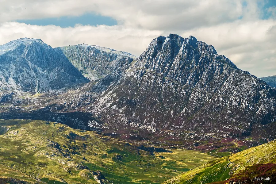
SignatureTryfan's ridge profile rising above the Ogwen Valley, seen from the A5.

Tryfan

Betws-y-Coed & the mountain edge

A 917 m Ogwen Valley summit where every route to the top is a scramble: the North Ridge, the South Ridge, Heather Terrace, and the summit's Adam and Eve rocks.

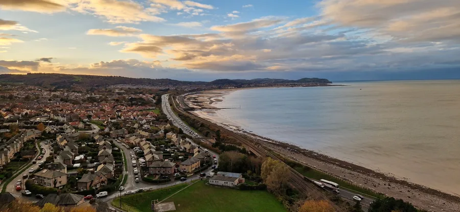
Worth the driveColwyn Bay seen from Penmaenhead at dusk, the beach curving away west with the town spread up the slope behind it.

Colwyn Bay

Llandudno & the north coast

A resort the railway made, rebuilding its own front: a Victorian pier reduced to three bays and reopened, two miles of remade promenade, and a town centre uphill from the sand.

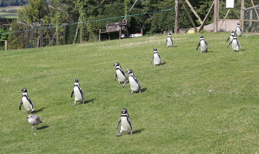
Worth the driveHumboldt penguins crossing the grass at the Welsh Mountain Zoo, Colwyn Bay.

Welsh Mountain Zoo

Llandudno & the north coast

A hillside zoo above Colwyn Bay, running Britain's red squirrel breeding programme since 1989.

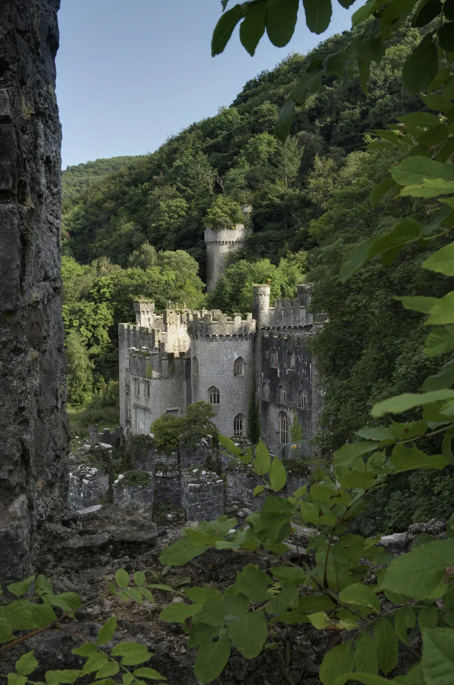
Worth the driveGwrych Castle's turreted Gothic Revival exterior seen through woodland foliage above Abergele.

Gwrych Castle

Llandudno & the north coast

A Gothic Revival ruin above Abergele, under restoration since a preservation trust bought it outright in 2018, after sheltering over 200 Jewish Kindertransport children in WWII.

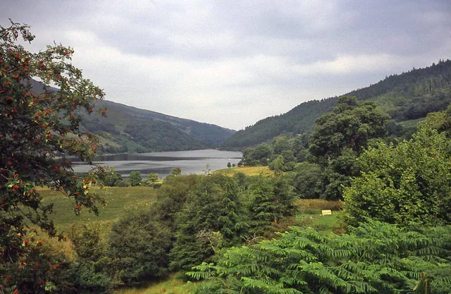
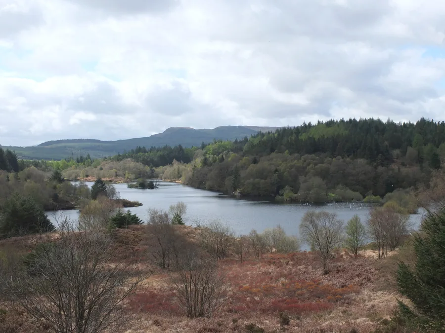
Llyn Elsi seen from above, a wooded island in open water ringed by the conifer plantation of Gwydir Forest.

Llyn Elsi

Betws-y-Coed & the mountain edge

A reservoir in Gwydir Forest above Betws-y-Coed, made in 1914 by damming two smaller lakes. There is no road to it: the only official route is a waymarked climb from behind the village church.

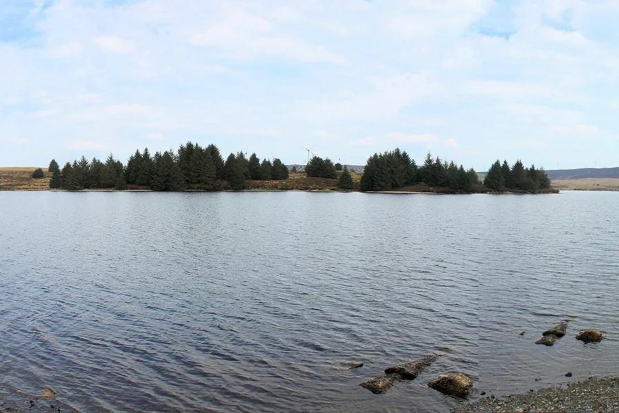
Worth the driveOpen water at Llyn Brenig with a conifer-lined shore and the moorland of Mynydd Hiraethog beyond.

Llyn Brenig & Alwen Reservoir

Betws-y-Coed & the mountain edge

Two working reservoirs on the moorland of Mynydd Hiraethog, with seven waymarked routes from the visitor centre and a 2.5-mile trail past Bronze Age burial monuments on the north-east shore.

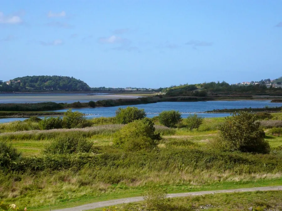
Worth the driveShallow lagoons and reed islands at RSPB Conwy, with wooded hills rising beyond the far shore.

RSPB Conwy

Conwy town & the estuary

A wetland built from the spoil dug for the Conwy tunnel: lagoons and reedbed on the east bank of the estuary, bird hides, and a third-of-a-mile boardwalk trail flat enough for a wheelchair.

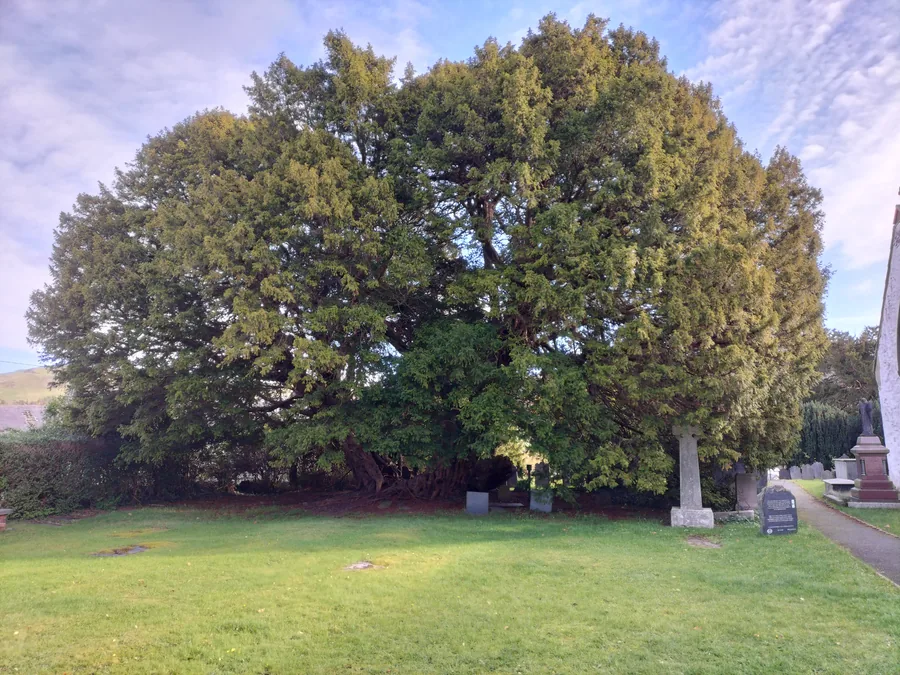
Hidden gemThe Llangernyw Yew in sunlight, its spreading trunk and low branches filling the churchyard at St Digain's.

Llangernyw

A hill village where the Cledwen, Collen and Gallen meet to become the Elwy, with a Grade II* church, two early medieval cross-stones, and a yew older than the parish standing beside them.

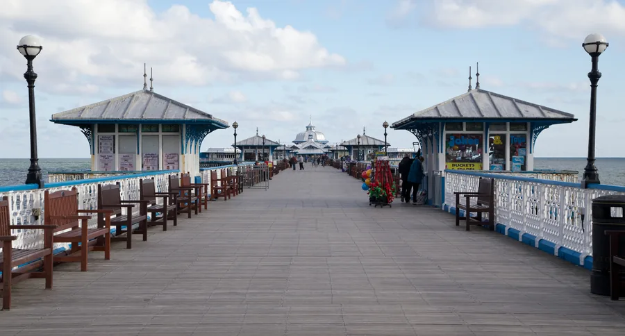
SignatureLooking along the deck of Llandudno Pier, its white ironwork and kiosks receding towards the pier head.

Llandudno

Llandudno & the north coast

The resort drawn before it was built: a bay laid out to one plan in 1849, with Wales's longest pier at one end and a second, quieter beach on the far side of the street grid.

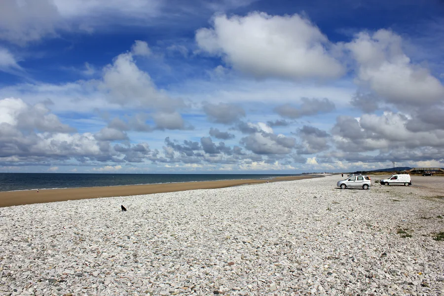
The white shingle bank at Pensarn beach under a wide cloudy sky, sand and sea beyond.

Abergele and Pensarn

Llandudno & the north coast

A market town a mile inland and its seaside suburb on the shore: a shingle bank protected since 1977, an Iron Age hillfort in the woods above, and the 1868 rail-disaster grave in the churchyard.

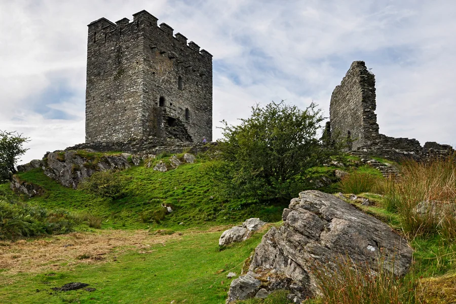
Worth the driveDolwyddelan Castle's keep and ruined west tower standing on their rock above the Lledr valley.

Dolwyddelan

Betws-y-Coed & the mountain edge

A Lledr valley village under Moel Siabod: Llywelyn's keep alone on its rock a mile west, a Grade I church built out of fear around 1500, and a forest valley you walk home from on a Roman road.

Worth the drivePenmaenmawr's slate roofs below the heathered flank of Foel Lus rising directly behind the town.

Penmaenmawr

Llandudno & the north coast

A Conwy coast town stacked between the sand and the mountain it quarried: half a mile of beach below the expressway, a Victorian jubilee path round Foel Lus, and a Bronze Age stone circle on the moor above.

Before you go.

A short field note. Nothing here replaces checking on the day — it's just what tends to matter in a county that changes character this fast.

Coast and clifftops

The Ormes are open, and parts of the clifftop paths are unfenced with real drops. Fine in good visibility — keep well back from the edge in wind or low cloud, and mind the tidal estuary at Conwy.

Mountain weather

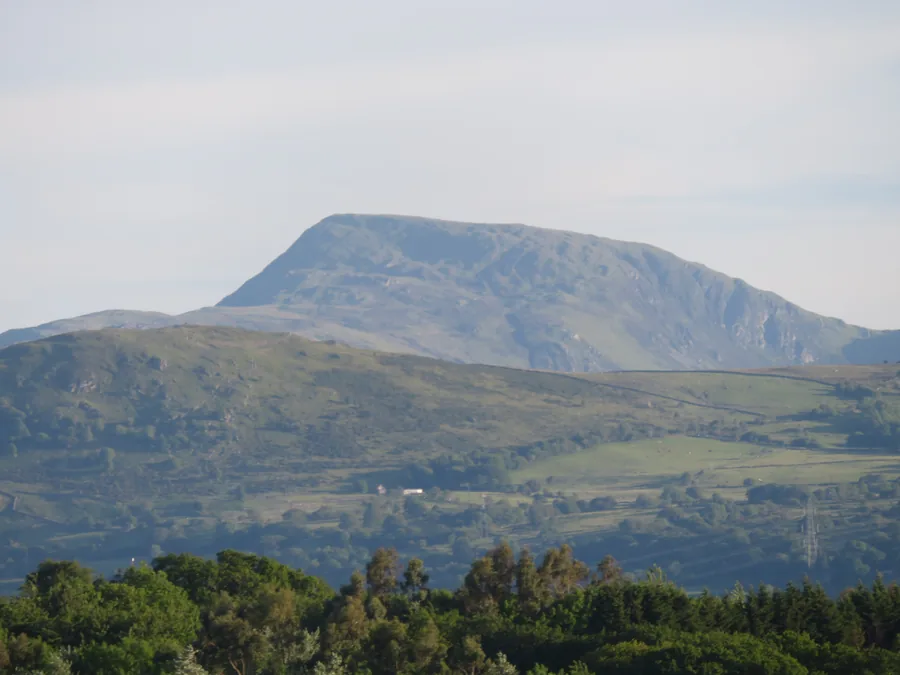
The mountain edge makes its own weather and it turns fast. On Moel Siabod check the mountain forecast, not the valley one, and be ready to turn back short of the ridge.

Roads and parking

The A55 makes the coast quick, but the valley and mountain roads are slower than they look. Llandudno, Conwy and Betws-y-Coed car parks fill early in season — come in the morning.

Close, but not the same day

Conwy's parts sit near each other, yet a coast morning and a mountain afternoon mean different weather, parking and pace. Pick one kind of day and give it the time it wants.

Choose which Conwy you want today.

The coast, walls, valley and high ground are close together, but they're not the same day. Pick one first; add another only when the road, weather and time allow it.

Privacy Contact