Underfoot
The hillfort ramparts
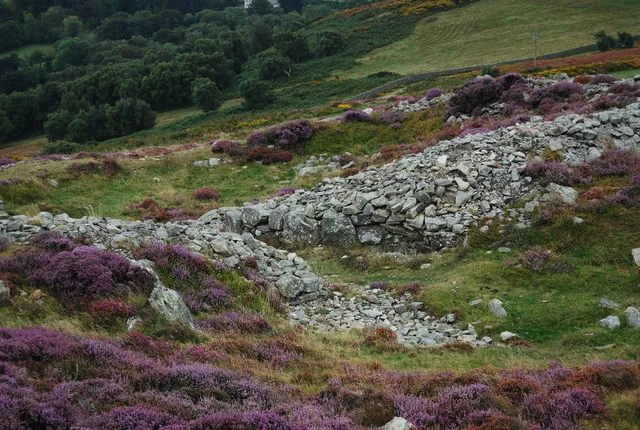
A tumbled stone wall runs across the summit, part of Castell Caer Seion, an Iron Age hillfort whose two enclosures once held around 58 round huts. There's no fence and no interpretation board; you simply walk over it.
Conwy County Borough · Coastal upland
A short ridge straight out of Conwy's walls, an Iron Age hillfort on its summit, and slopes badly damaged by the July 2026 wildfire.
Conwy Mountain rises straight out of the walled town: heather, rhyolite outcrop, and the ramparts of an Iron Age hillfort, reachable in half a day. The July 2026 wildfire left extensive damage, so keep to the public footpaths.
Choose your route
Neither route on Conwy Mountain is officially waymarked; both are well-documented, de-facto lines from specialist walking guides, presented here as indicative rather than exact figures. One starts at Sychnant Pass; the other starts and ends in Conwy town itself, passing through Pensychnant.
Ways up
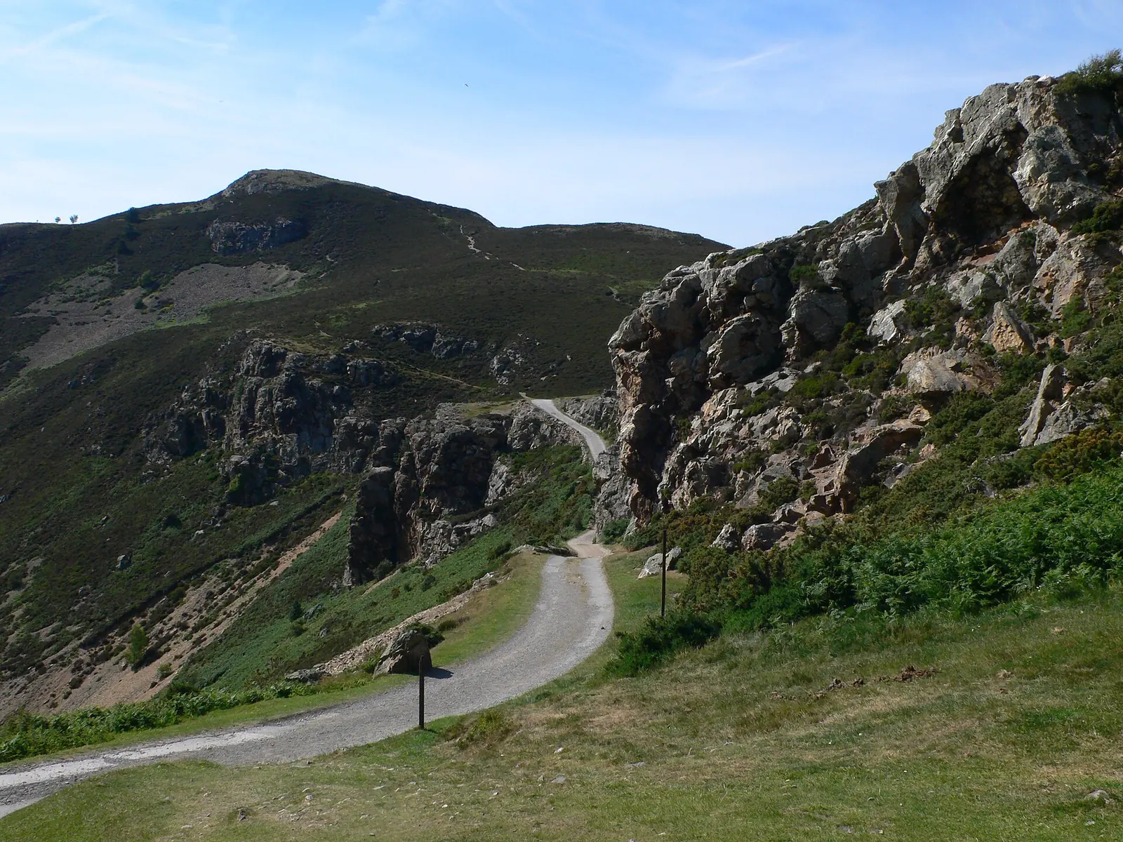
Described by walkingbritain.co.uk as Easy/Moderate throughout, with one optional scramble on Penmaen-bach (a path around it exists) and a stream ford near the end of the loop.
Described by masarnenramblers.com as passing sheep grazing in Pensychnant Nature Reserve.
Practical brief
The shorter loop, from the pass.
Straight from the town walls.
Checked 18 July 2026 against North Wales Fire and Rescue Service and the two route guides named above. After the wildfire, Conwy County Borough Council asks walkers to keep to public footpaths; check the council for current information before you go.
Before you go
Parking, transport, dogs, the routes, and safety — checked before you go.
No public transport service directly to Sychnant Pass was confirmed this pass. Conwy town (the Route B start) has its own rail and bus connections; no single route serves this walk, so plan door to door with the Traveline Cymru journey planner (opens in a new tab). Check the current service before travelling.
No toilets are confirmed at either trailhead; the Sychnant Pass lay-by has none, and while Conwy town (Route B's start) has normal town facilities, there is nothing on the ridge or at Pensychnant itself. There is no food or water source on the mountain between either start point and the summit.
Dogs must be kept on a lead on the North Wales Path (Conwy County Borough Council). Elsewhere on the open mountain, keep dogs under close control; wild ponies and sheep roam freely, with sheep specifically reported grazing in Pensychnant Nature Reserve on Route B.
Route A (Sychnant, Alltwen & Penmaen-bach) starts and ends at Sychnant Pass. Route B (Conwy Town & Pensychnant) starts in Conwy itself and threads through Pensychnant before returning to town. On both, keep to the public footpaths: see "After the wildfire" below.
Neither route carries an official waymarked status; both are well-documented, de-facto lines from specialist walking guides (walkingbritain.co.uk and masarnenramblers.com), not a National Trust or council-designated path. The North Wales Path (Prestatyn–Bangor, Conwy County Borough Council) crosses the mountain and connects to both.
No summit-specific forecast exists for this height of ground; this is exposed open moorland where wind and visibility can turn quickly, so use general upland-weather judgement rather than a town forecast. There's no official winter-equipment mandate for a hill this height, but ice on the ford crossing or the open ridge should be treated with ordinary hillwalking caution.
Both routes are circular, so completing the loop correctly matters more than reversing a ridge. On Route A, the stream ford near the end of the loop can rise after heavy rain, and the path around Penmaen-bach's optional scramble needs to be found before you're on the scramble itself, not after. On Route B, the main mistake is losing an unsigned junction on the open moor before the final stretch back past Mount Pleasant and Conwy Castle into town.
Dial 999 and ask for Police, then Mountain Rescue, for a genuine emergency. A fire-damage concern or other non-emergency hazard is a matter for Conwy County Borough Council directly, not 999. Use the council link in "After the wildfire" below.
Neither route is flat or step-free; both cross open moorland and heather ridge, with a stream ford and an optional short scramble on Route A. At 244 m this is a genuinely lower, shorter outing than the mountain-trail pages above it, but a lower summit doesn't make it flat or fully accessible; treat it as a real, if short, upland walk rather than a family stroll.
Sourced from North Wales Fire and Rescue Service, Conwy County Borough Council, Wikipedia/Coflein (for the hillfort), and walkingbritain.co.uk / masarnenramblers.com (for the routes), checked 18 July 2026.
After the wildfire
In July 2026 a wildfire burned an estimated 2,000 acres of this mountain. Conwy County Borough Council reports extensive fire damage and asks walkers to keep to public footpaths.
Pensychnant Conservation Centre described it as the worst fire the area has experienced, intense enough to burn the soil itself. 36 properties were evacuated and have since returned home.
Conwy County Borough Council reports extensive fire damage in the area, including sections of the informal path known as Dribblers Ridge, and asks walkers to stay on public footpaths.
Beyond the fire damage, this is still exposed open moorland; wind and visibility can change quickly on the ridge.
Check before you go. For current information on paths across the mountain, check with Conwy County Borough Council.
The reward here is layered: Iron Age stone underfoot, open heather ground, and the coast falling away to one side.
Underfoot
A tumbled stone wall runs across the summit, part of Castell Caer Seion, an Iron Age hillfort whose two enclosures once held around 58 round huts. There's no fence and no interpretation board; you simply walk over it.
The ground itself
Open moorland covers the top: heather and gorse rooted between outcrops of the same pale rhyolite the ridge is built from. No waymarks up here, just the hilltop.
On a clear day
One local account describes this summit's own view reaching the Irish Sea, Conwy, and the eastern Carneddau peaks: a single secondary source, not independently confirmed, so treat the exact reach as a fair description rather than a guarantee.
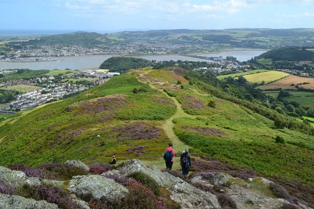
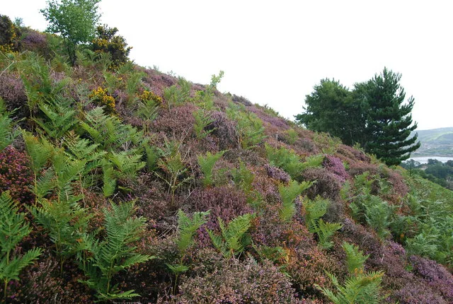
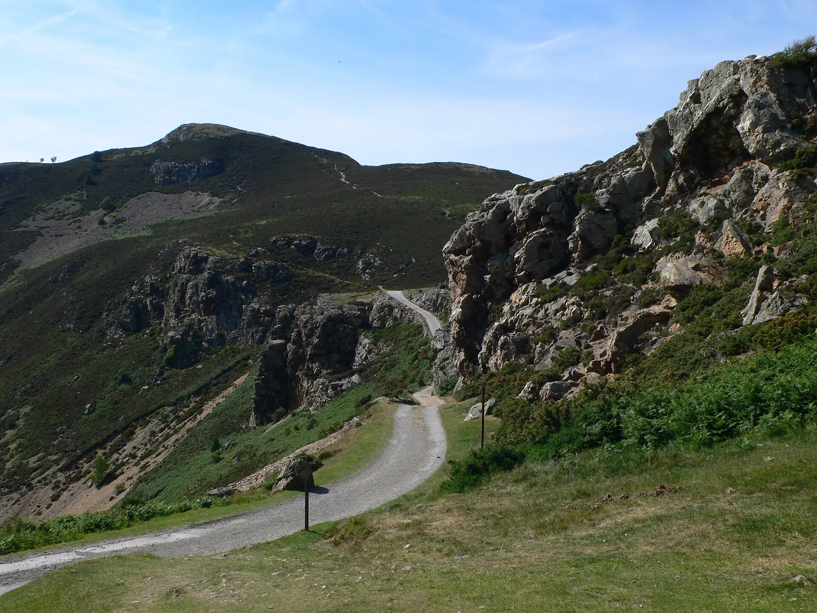
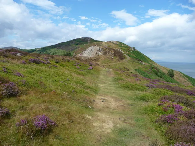
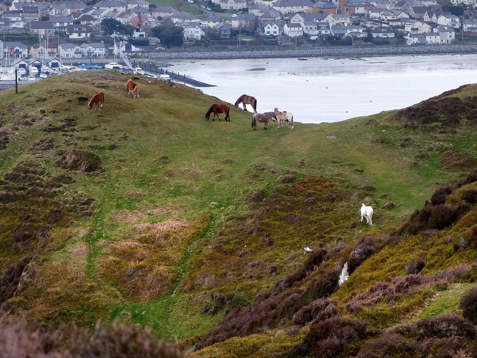
Six scenes from Conwy Mountain, taken before the July 2026 fire: the ridge, the hillfort, the pass, the path.
Before you set out
None of this is hard mountain terrain, but the July 2026 fire damage changes the calculation more than the terrain does.
The July 2026 fire left extensive damage, and Conwy County Borough Council asks walkers to stay on public footpaths. A fence or sign applies to you, even if the path looks walkable.
Neither route is officially waymarked. Several tracks cross the open mountain without signage.
This is exposed moorland with sea on one side; wind and visibility can change quickly.
Route A includes a stream ford that can rise after heavy rain, and an optional easy scramble on Penmaen-bach.
Three real places within a few minutes of the mountain, all already on the Atlas.
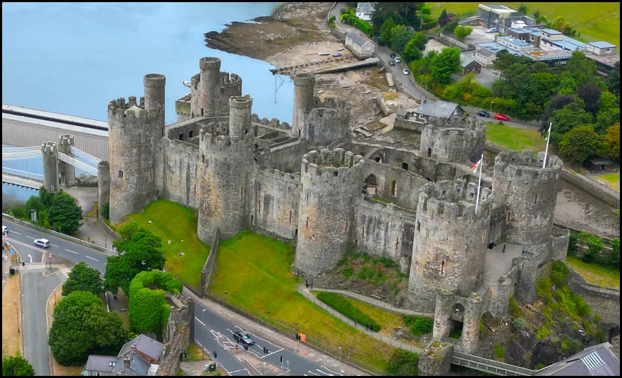
The medieval castle at the foot of the mountain: the natural start or finish for the Conwy Town & Pensychnant route.
On the map →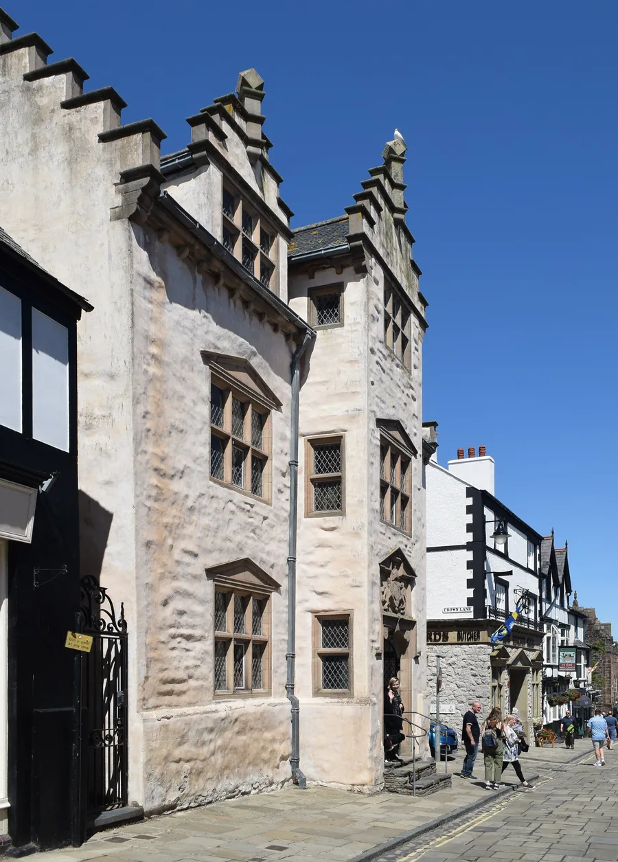
An Elizabethan town house inside Conwy's walls: an easy indoor stop before or after the mountain.
On the map →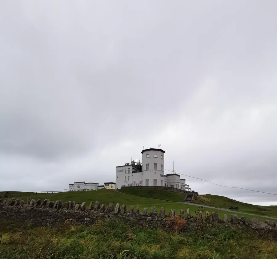
The same coastal-upland character, a few miles along the coast at Llandudno: visible from Conwy Mountain's own summit.
On the map →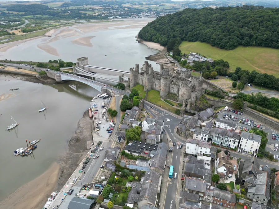
The walled town the ridge climbs straight out of: 1.2km of wall, three bridges and the whole day’s food and travel at the bottom of the path.
On the map →On the Atlas
Directly west of Conwy, above Sychnant Pass.
Open Conwy Mountain on the mapContinue exploring
Carry the long view from the ridge into the wider county.