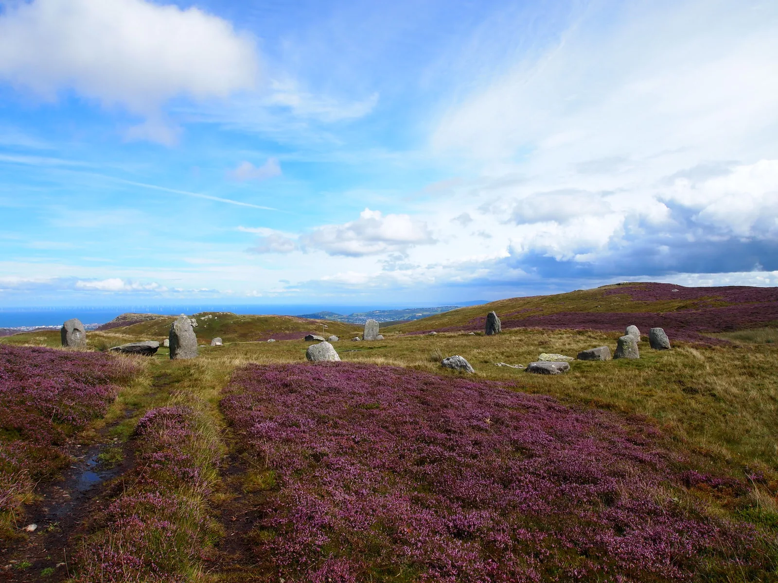
Stones nobody put a gate around
You climb out of a seaside town for an hour and arrive at a Bronze Age circle standing loose on open moor.
Conwy · the north coast
The great stone gave the town its name, its work and its shape. Most people now pass it in a tunnel, and miss a beach, a jubilee path and a stone circle stacked up the hill behind.
01The town
Everything here is arranged by height. The sand and the promenade are at the bottom; the expressway and the railway run across the slope above them; the town centre sits a short climb further up, with the shops, the memorial and the museum within two hundred metres of each other. Behind that the ground keeps going: up Mountain Lane to the hill path, and further still to the open moor.
Very few places let you put a swim, a Victorian promenade walk and a Bronze Age stone circle into the same afternoon, on foot, for nothing. The coast road hides all three behind a tunnel, which is exactly why the town is quieter than the resorts on either side of it.
Character
A community of roughly 4,300, including the villages up the valley. It quarried granite for the best part of two centuries and let rooms to Victorian holidaymakers at the same time, and it still reads as a town rather than a resort.
Pace
The promenade runs over half a mile and the centre is a few minutes’ walk from it. Above the town the hill path makes a circuit of about a mile and a half, and the stone circle is a further climb onto open moor.
Landscape
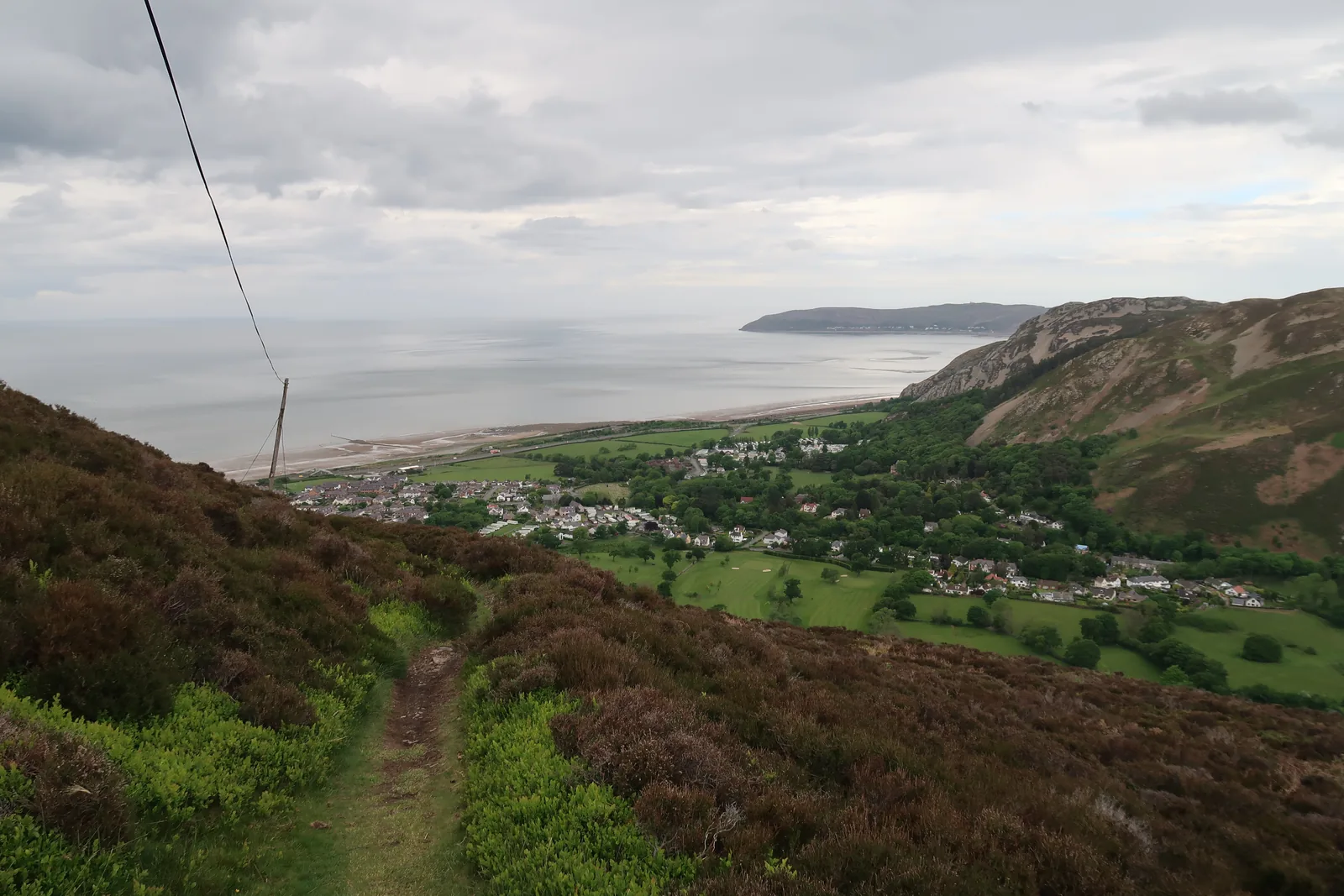
Foel Lus rises to 362 metres directly behind the roofs, with the moor of Cefn Coch beyond it. Penmaen-bach closes the bay to the east; on a clear day the Great Orme and Anglesey are both in view from the shore.
Best for
Best for a car-free day — the station sits between the town and the sand — and for anyone who wants prehistory without a ticket office, or a sea view earned on a graded path rather than a summit.
02Discover
You climb out of a seaside town for an hour and arrive at a Bronze Age circle standing loose on open moor.
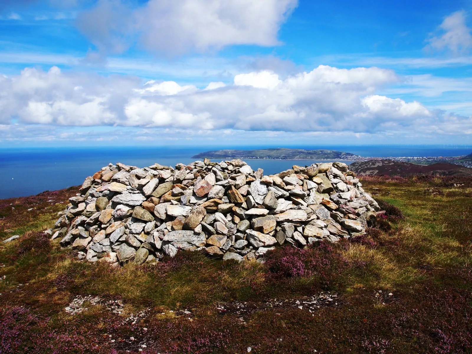
The path holds its height all the way round the hill, so the whole bay arrives without a single steep pull.
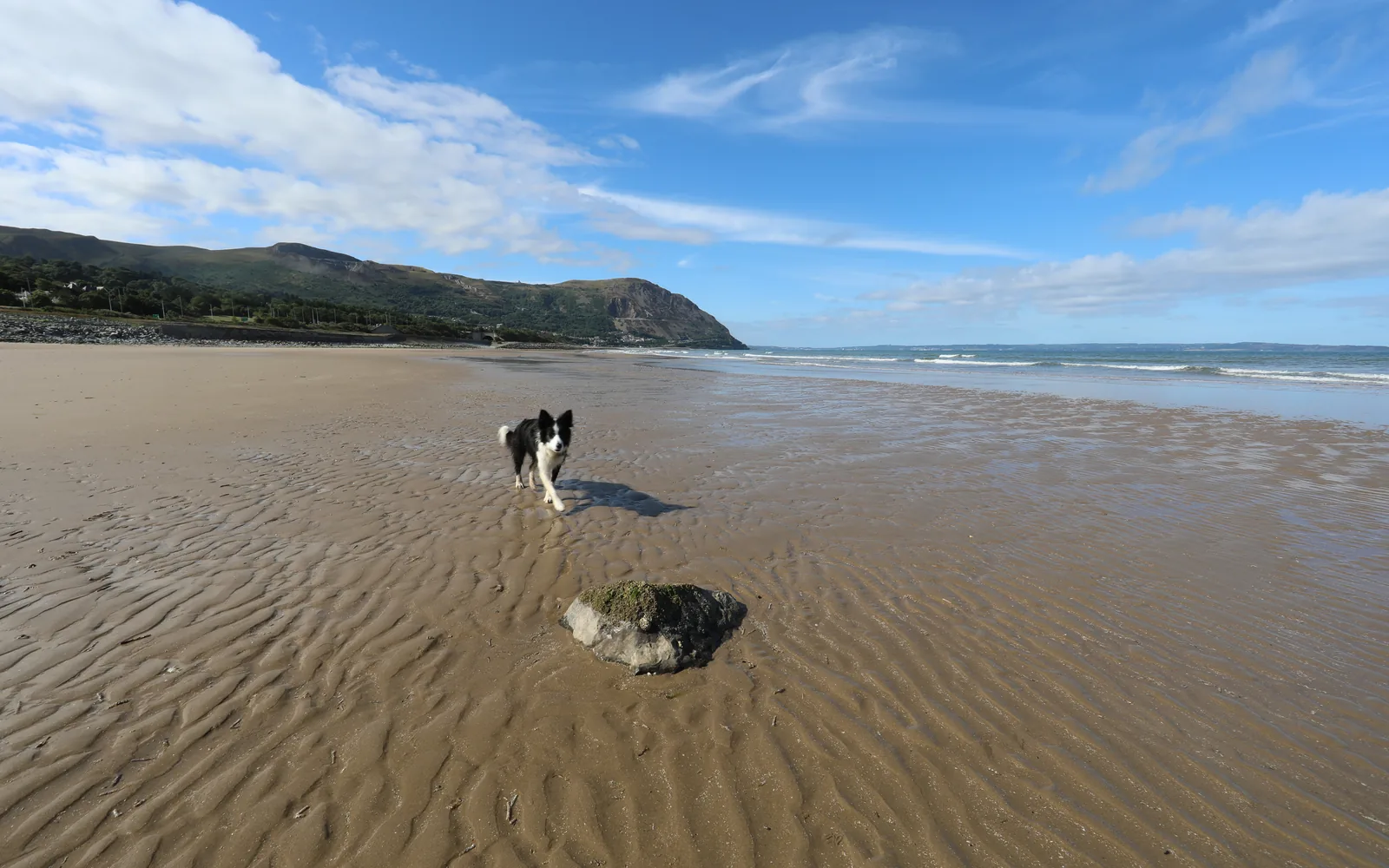
The tide goes a long way out here, and the beach stays broad and quiet while the resorts along the coast fill up.
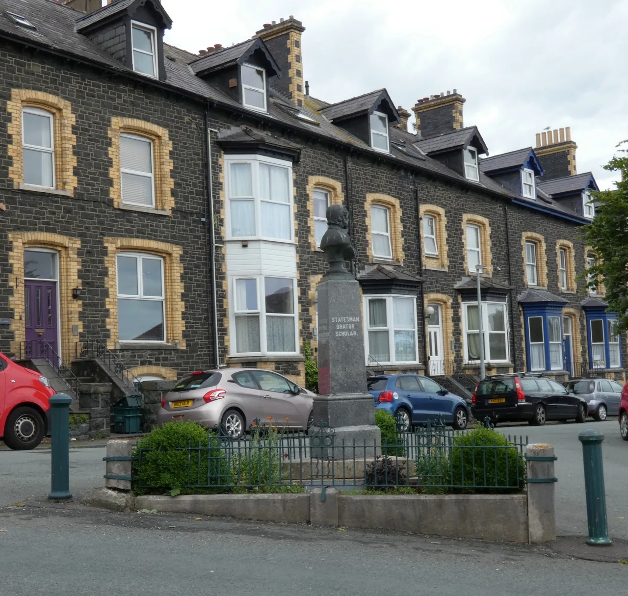
A prime minister came here on holiday, the town filled up behind him, and it put his head on the crossroads.
Beyond the first defining moments, the fuller Penmaenmawr catalogue continues below.
Read the town upwards. The promenade is below the expressway and reached by footbridge; the church, the memorial and the museum are the centre; the park is out west; and the last two are up the hill, one graded and one not.
 No verified image yet
Penmaenmawr Promenade
North of the centre, over the footbridge across the expressway. Café and huts at the east end.
Seven entries, running from the sand upwards: the promenade, three things in the town centre, a park at the west end, and two on the hill behind. No pubs, cafés or shops are listed here; see Local life for the town’s everyday character.
Beach & promenade · free
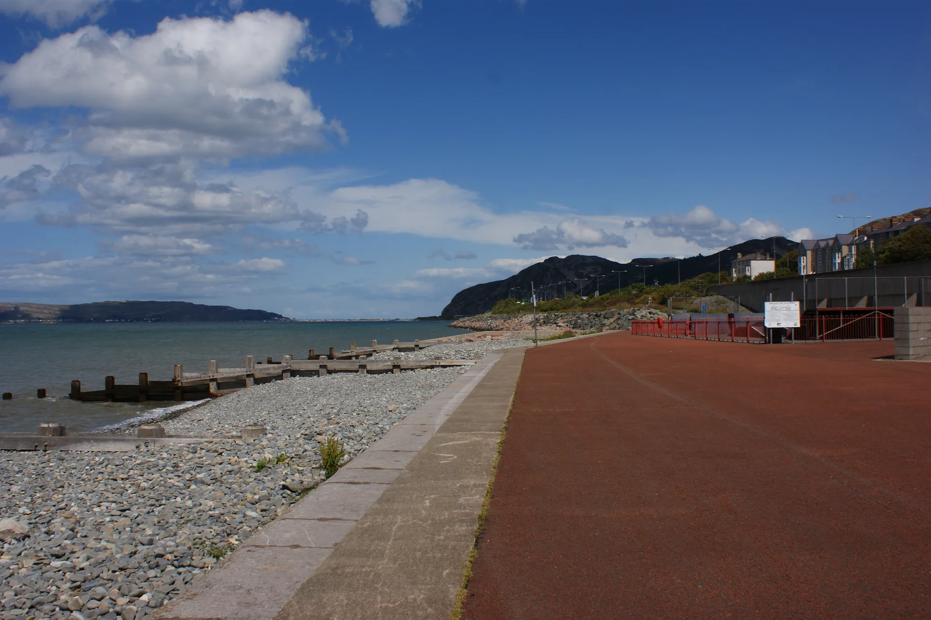
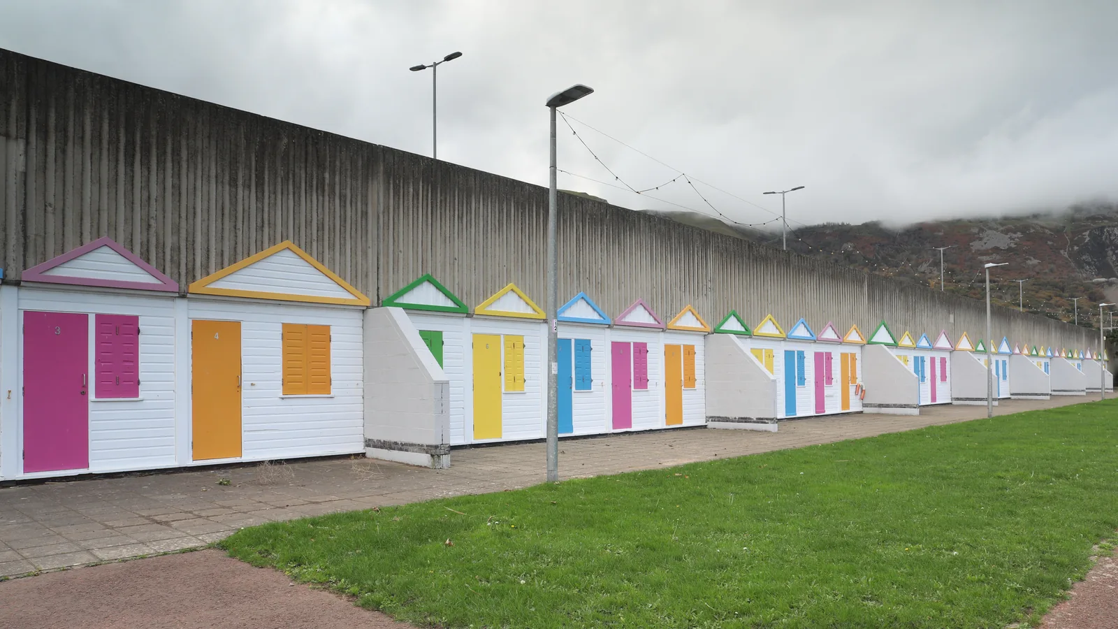
Half a mile of sand behind a line of painted beach huts, with the headland closing the bay. The town’s front garden, reached by footbridge.
Official beach information (opens in a new tab)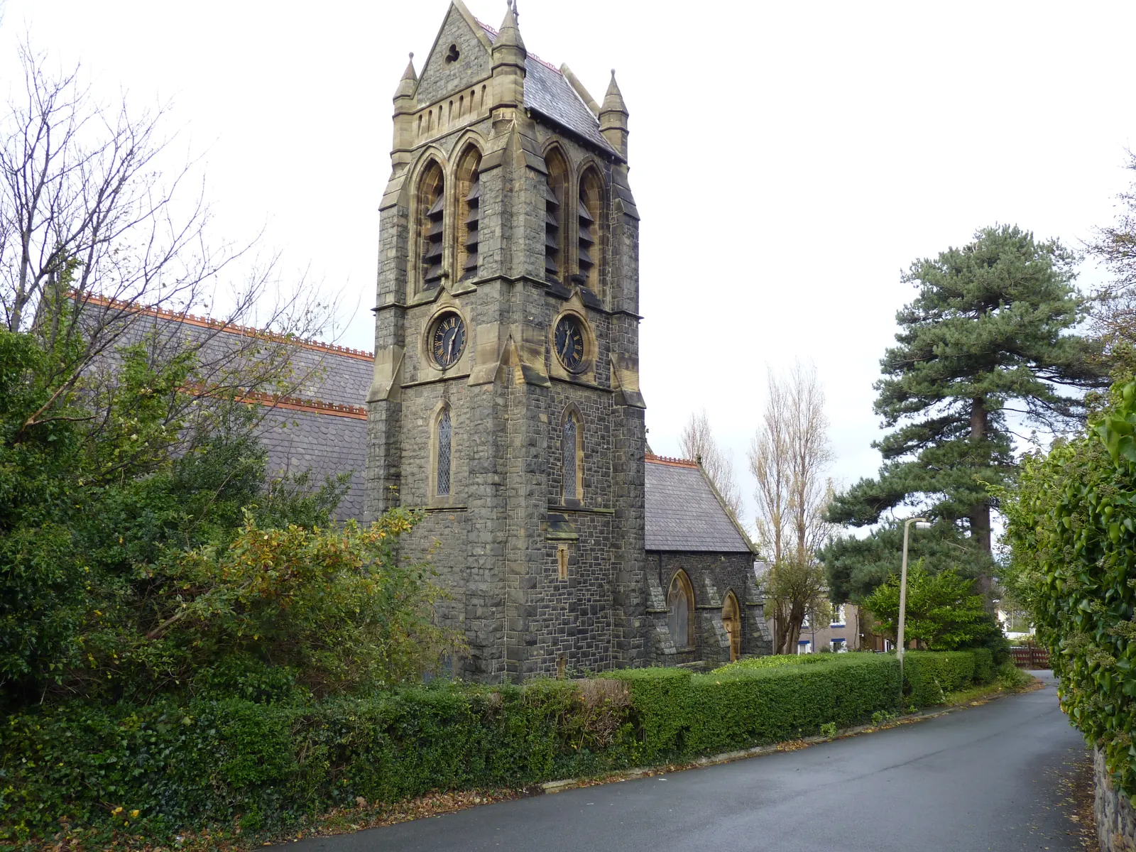
Grade II church
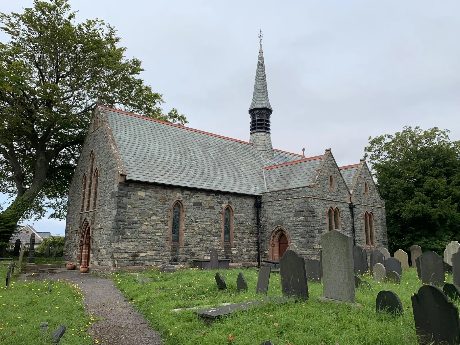
The town quarried granite, then built its church out of it. A Waterhouse design whose tower still marks the skyline above Church Road.
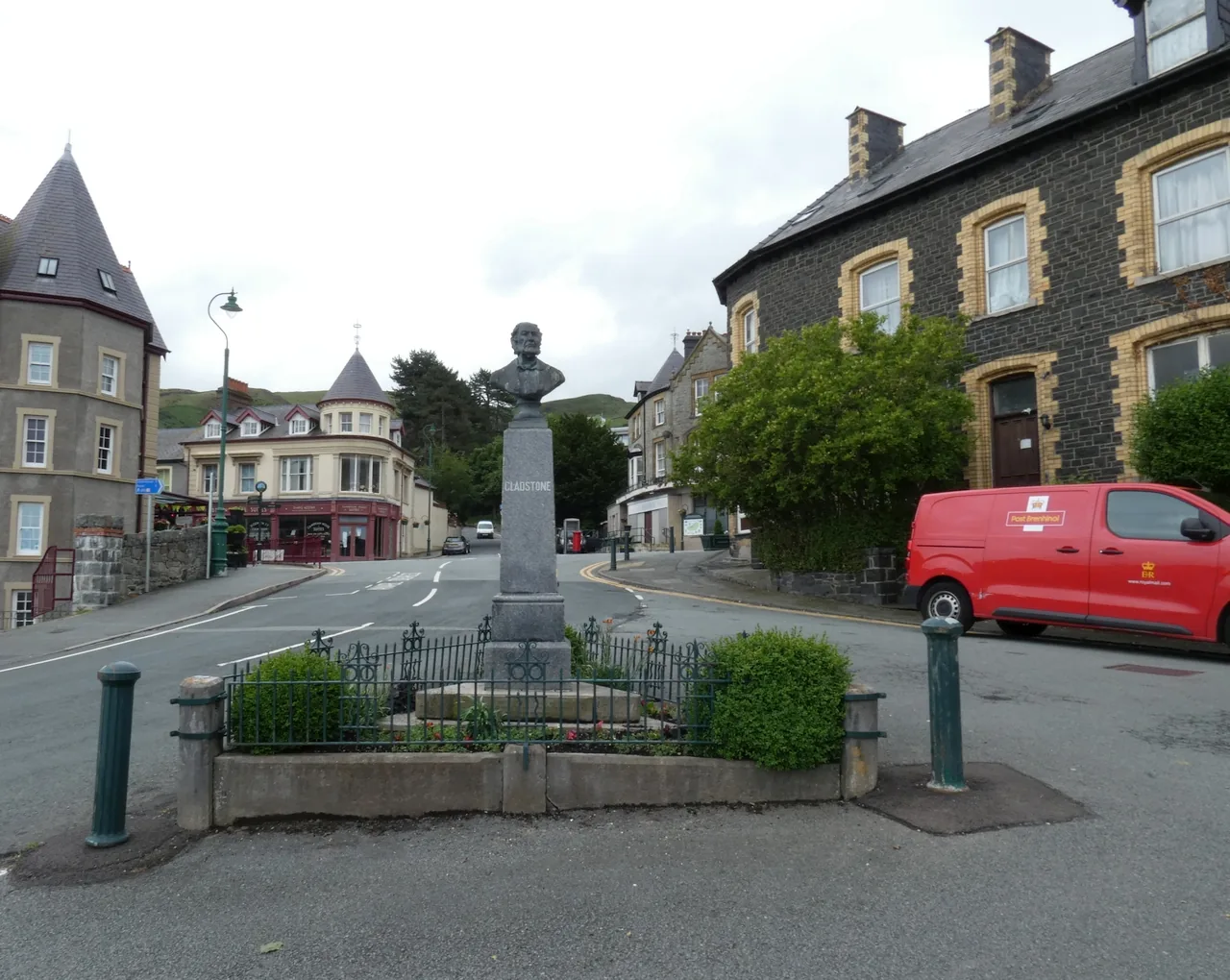
Grade II memorial
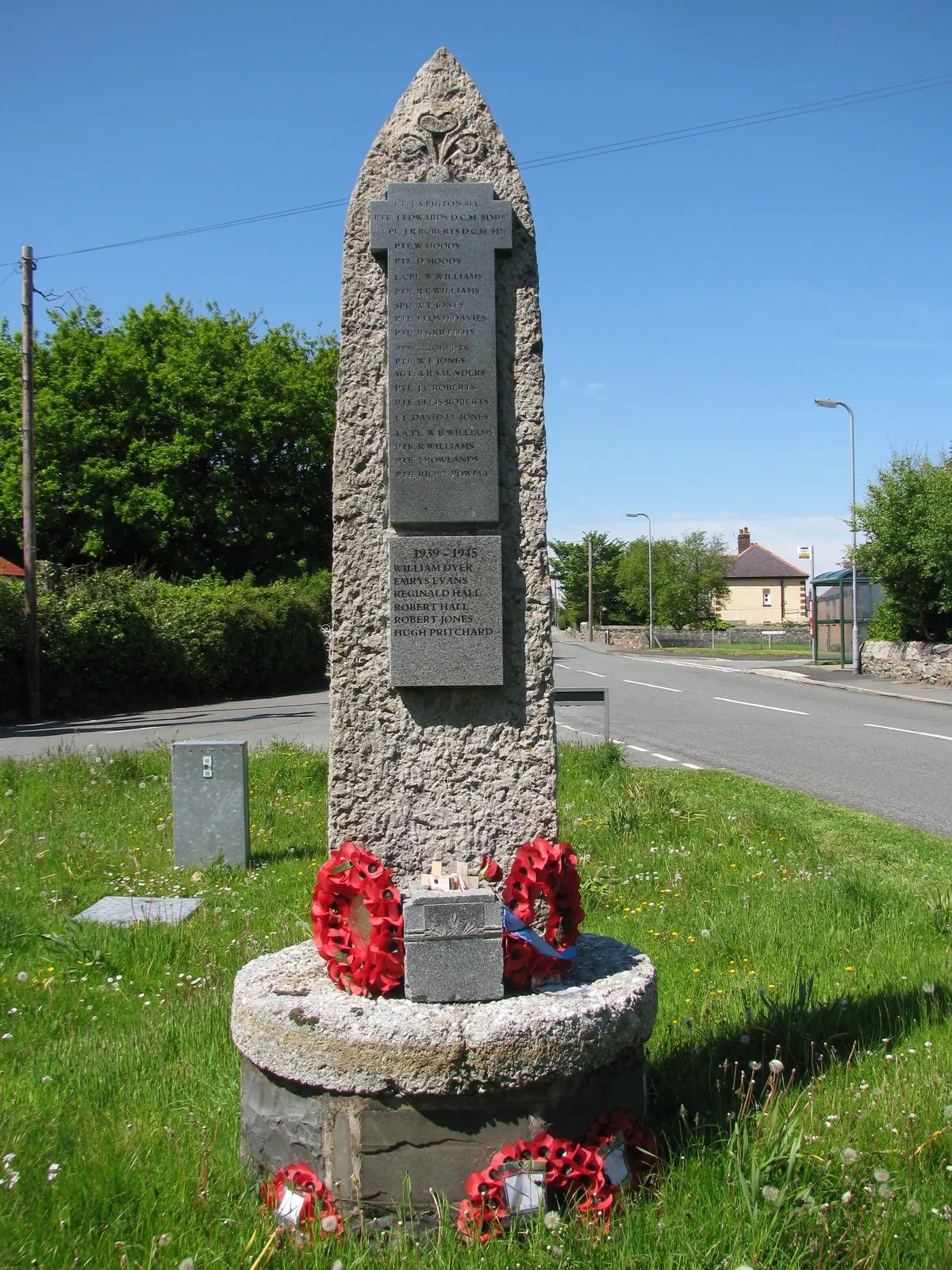
A prime minister’s bust on a traffic island, put there by a town that grew rich on the holidays he made fashionable.
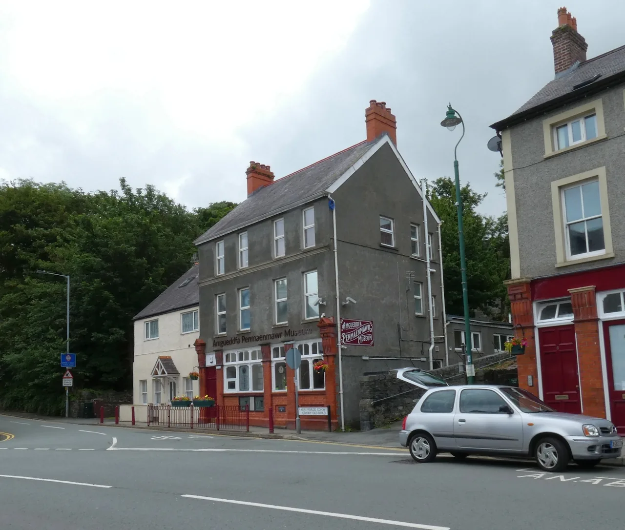
Volunteer-run museum
The town’s own memory, kept in the old post office: quarry photographs, documents and objects gathered by its historical society.
Check opening days and season (opens in a new tab)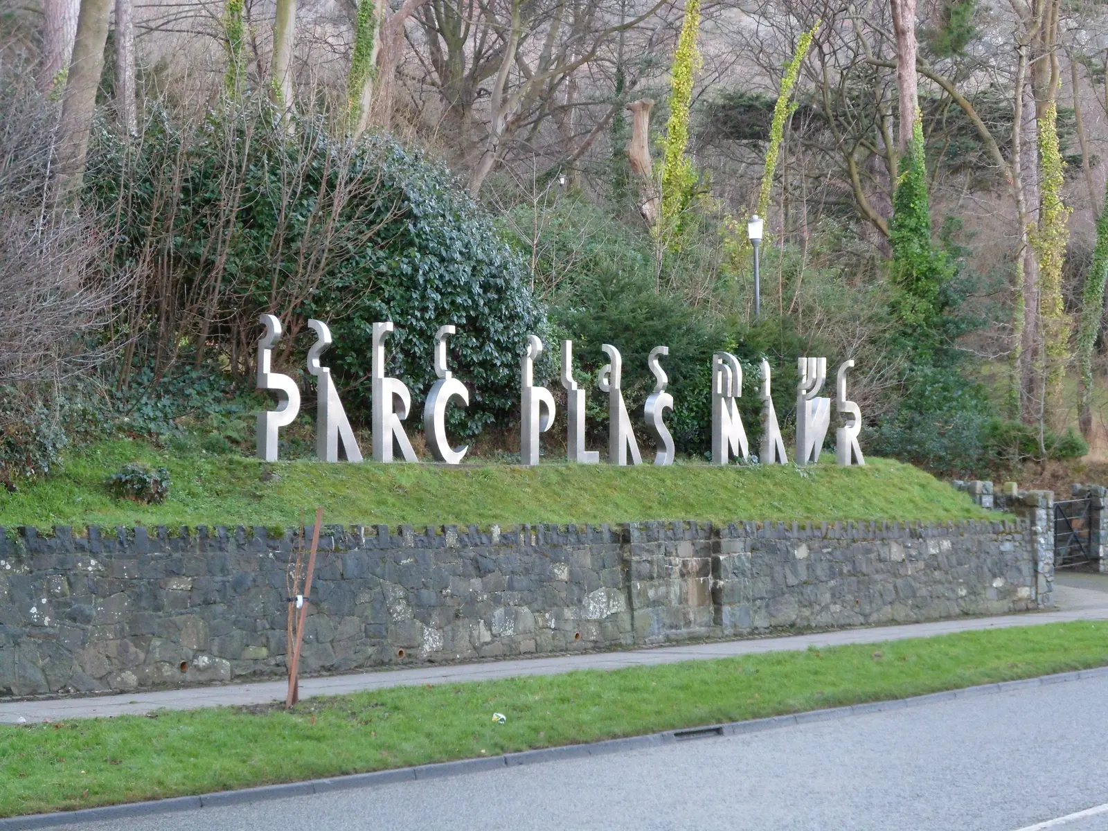
Public park · free
Green, quiet and a mile from the seafront, laid out over the foundations of the house the quarry owners built for themselves.
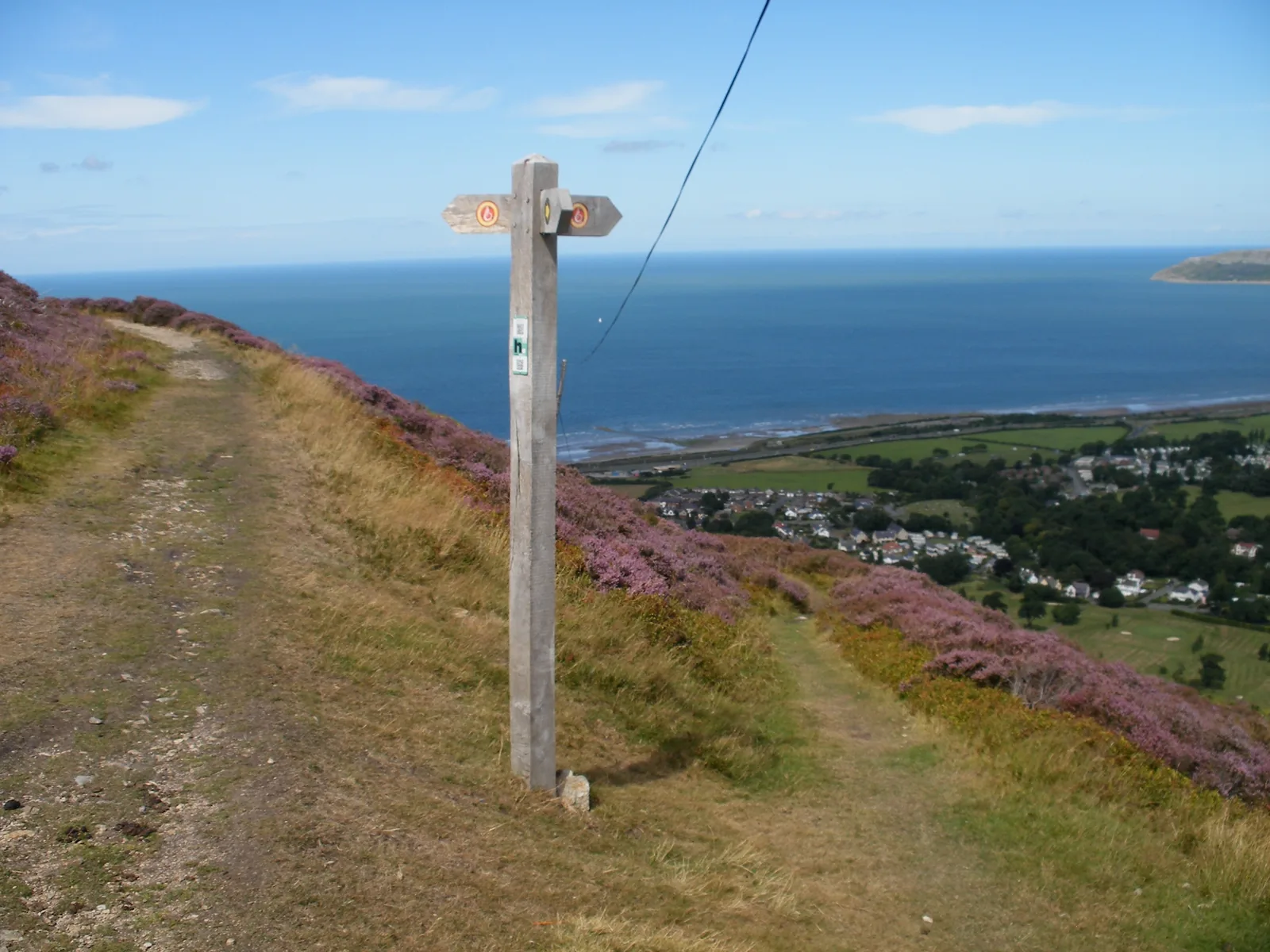
Circular hill path · free
A contour path cut for a Victorian jubilee, circling the hill above town. It hands you the whole bay without asking for a summit.
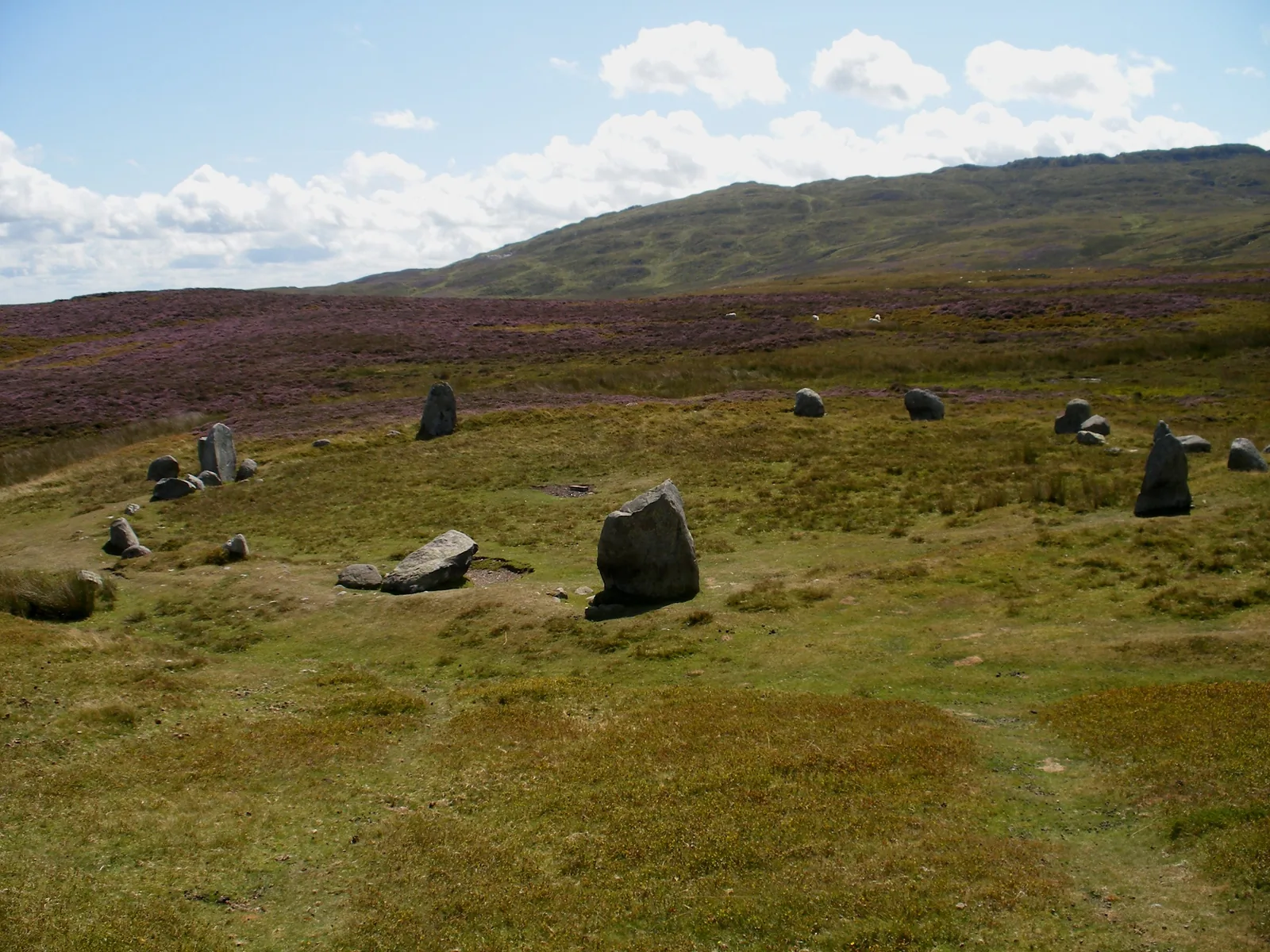
Scheduled monument · open moor
Standing stones on open moor, high above the roofs and the sea. The walk up is the point; nothing here is signposted from the front.
Only one of these seven keeps hours. The beach, the memorial, the park, the hill path and the stone circle are open whenever you are, and the churchyard is not gated; the museum runs a seasonal, part-week pattern set by volunteers and changed year to year. If the museum is the reason you are coming, check the day before you travel rather than the morning you set off.
Penmaenmawr Museum: opening days and season03Story
The same rock runs through every chapter of this town: shaped into axes, raised into a circle, walled into a hillfort, blasted into ballast, and finally left alone.
On the western slopes of Cwm Graiglwyd, Neolithic workers found a stone that flaked cleanly and held an edge, and they made axes from it on a scale matched almost nowhere in Europe. Roughed out here, the axes travelled: they turn up in Cornwall and across south-east England, five thousand years ago. It is the oldest industry on this coast and the same one the town would return to.
On the moor of Cefn Coch, Bronze Age communities raised the ring of stones now called the Druids’ Circle, a name given by antiquarians, since the circle predates the Iron Age druids by roughly two thousand years. Excavation in 1958 found cremation deposits at its centre, including the remains of children. Later, an Iron Age hillfort called Braich-y-Dinas crowned the summit above, one of the largest in Europe. The quarry removed it entirely in the 1920s.
Penmaen Quarry opened in 1830. The Graiglwyd stone made excellent setts, and from 1881 the works supplied railway ballast: the London and North Western Railway’s engineer had decided to ballast his track with granite. Colonel Darbishire amalgamated the competing quarries by 1888 and merged them with Trefor in 1911 to form the Penmaenmawr & Welsh Granite Co. Around a thousand men worked here, and ships loaded from the Darbishire jetty until 1976.
W. E. Gladstone came here on holiday eleven times, the first in 1855, and the well-to-do followed him. A meeting in 1862, which he attended, resolved to build an English-language church for the visitors: Alfred Waterhouse designed it in the local granite, Mrs Gladstone laid the foundation stone in 1867, and it was consecrated the following year. The tower came in 1885, the Jubilee Path round Foel Lus in 1887, and in 1899 — the year after his death — the memorial at the crossroads.
In the 1980s the A55 was driven along the shore and through the headlands in tunnels. It took the traffic off the town’s streets and it took the Edwardian promenade with it; a modern promenade was built to replace it. Quarrying ended in 2008 when the Network Rail ballast contract was lost. The workings are mothballed and closed to the public, and parts of the site are slowly being returned to heathland.
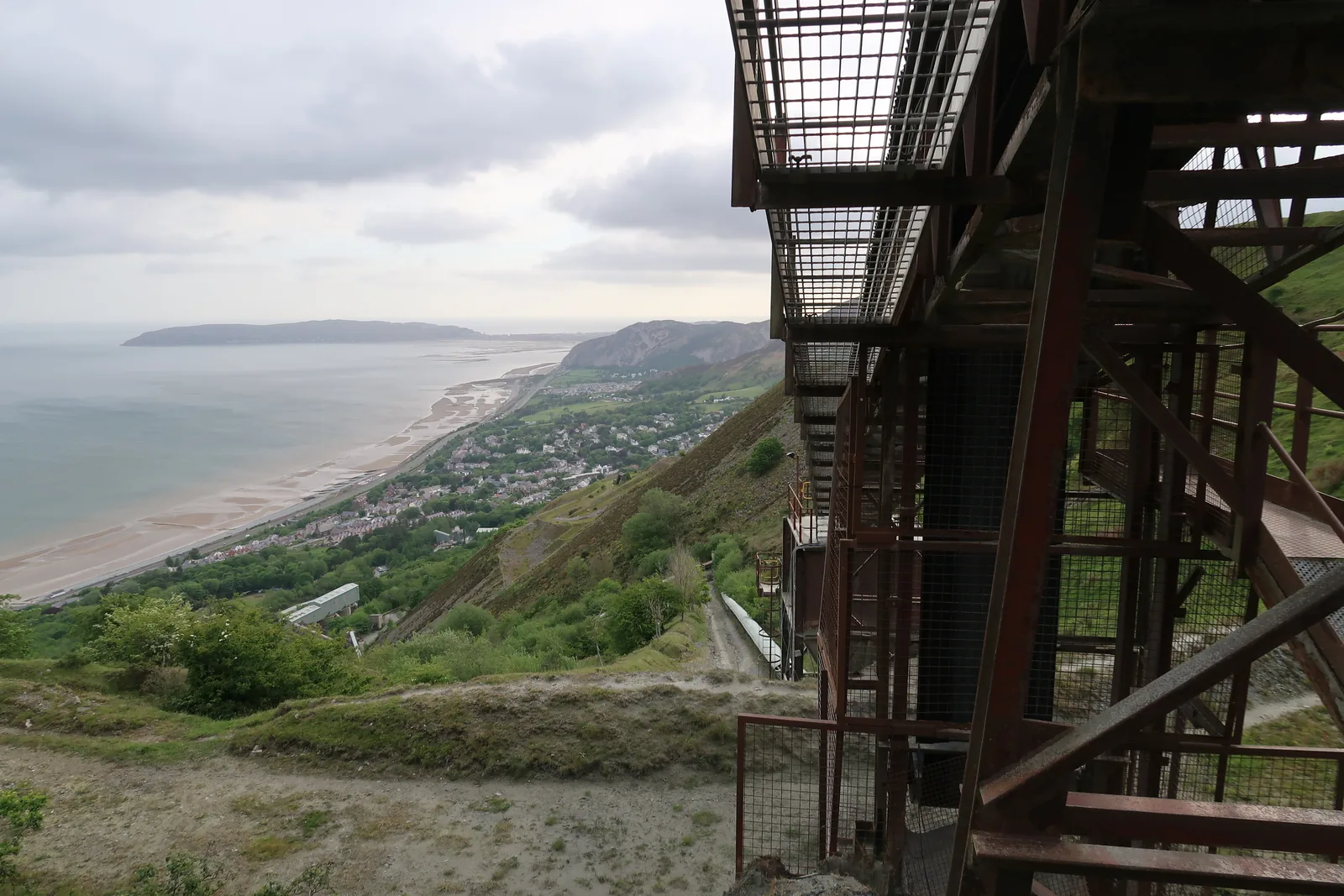
One of the largest Iron Age hillforts in Europe stood on the summit until the 1920s. The quarry that paid for the town also removed it.
Braich-y-Dinas
When the quarry stopped supplying ballast in 2008 the last of an industry that had employed a thousand men here simply ended. What is unusual is how little of the town went with it: the shops under the glass-roofed arcade are still trading, the bowling greens are still cut, and the sailing club is still on the front.
The community reaches beyond the town itself, up the valley to Dwygyfylchi and Capelulo, where the parish church, the war memorial and a chapel sit within a few hundred metres of each other. It is one place administratively and three settlements on the ground.
The arcade is the piece of Victorian Penmaenmawr that survived. The expressway took the Edwardian promenade the resort was famous for; it never touched the glass roof over the shops.
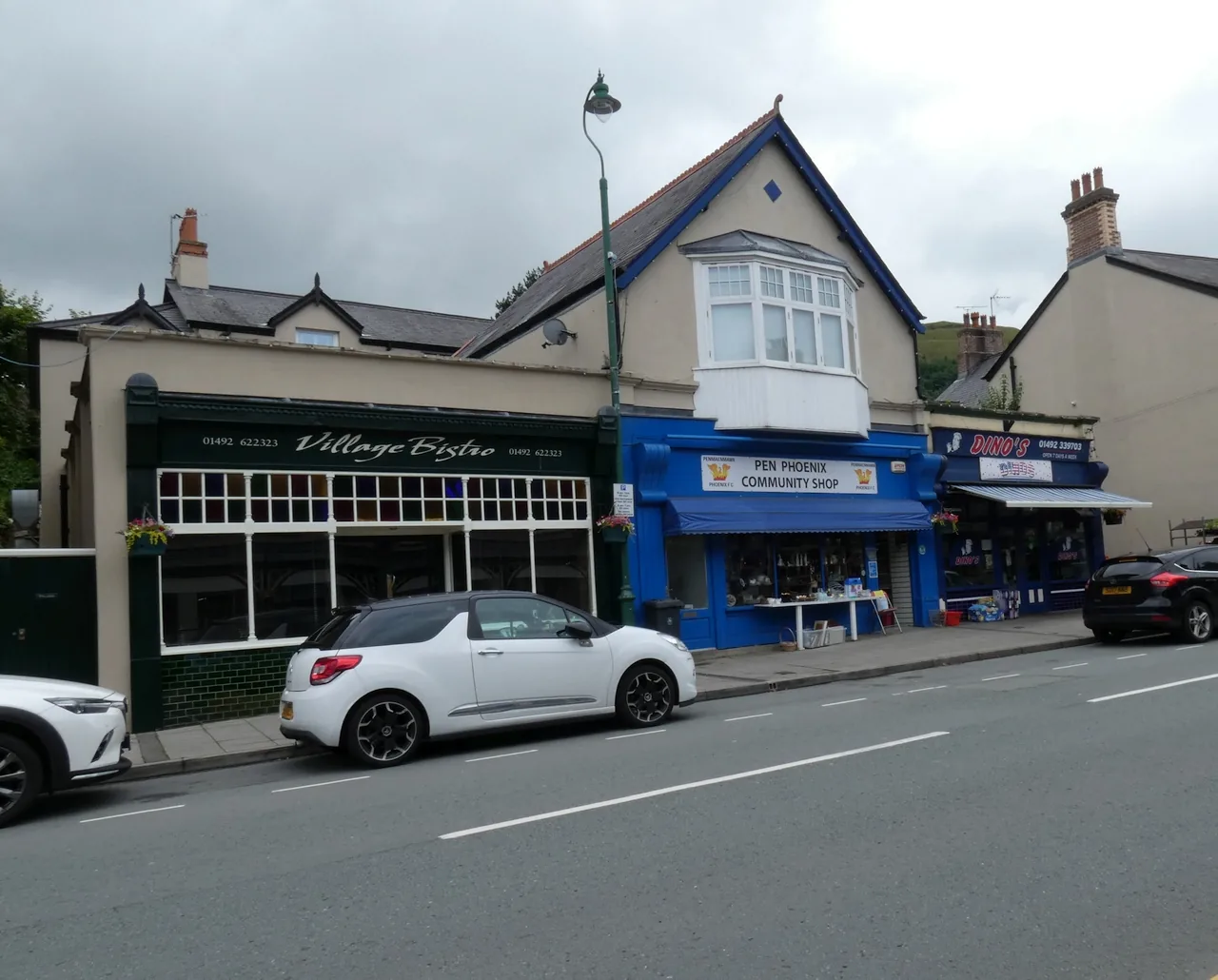
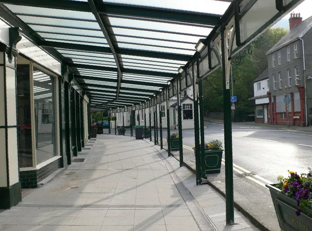
The town council describes independent shops and cafés sheltered under a glass-roofed Victorian arcade. It is a survival, not a restoration, and it still keeps the rain off.
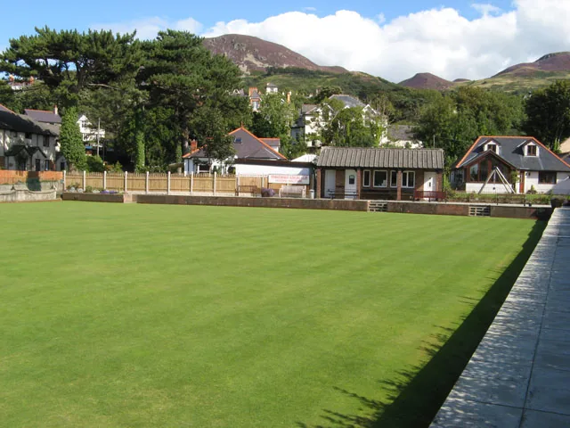
The seaward side of the expressway carries the sailing club, the skate park, the playground and the paddling pool; two bowling greens and a nine-hole course sit behind the town.
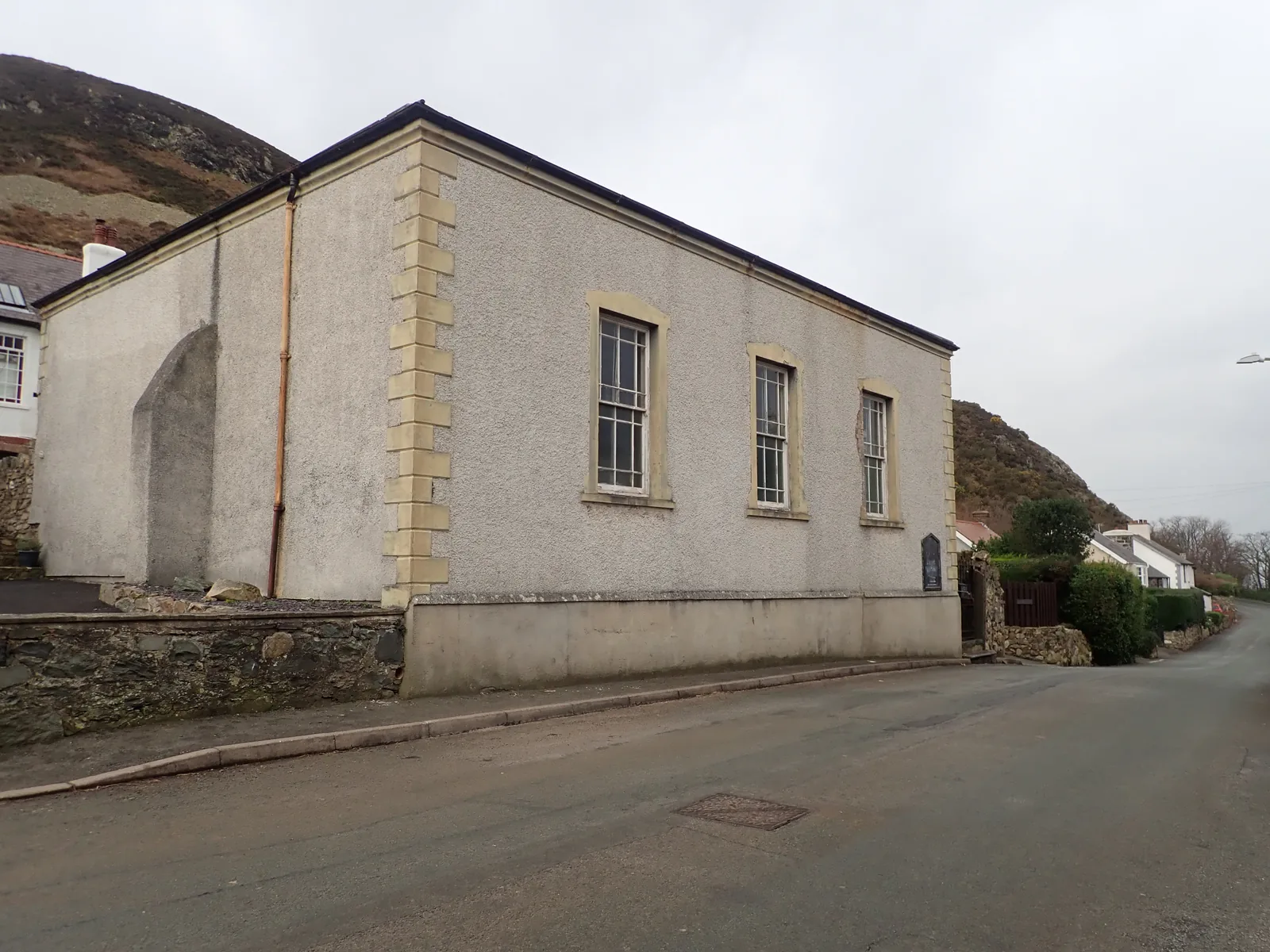
The community takes in the villages up the Sychnant valley. Their chapel, parish church and war memorial are a short walk apart, and the pace there is different from the seafront.
What the town keeps
None of it was built for day visitors and none of it has been converted for them. Which is why the walk from the platform to the crossroads tells you more about the last two centuries here than either the stone circle or the beach does: the quarry face is directly overhead the whole way.
Plan your time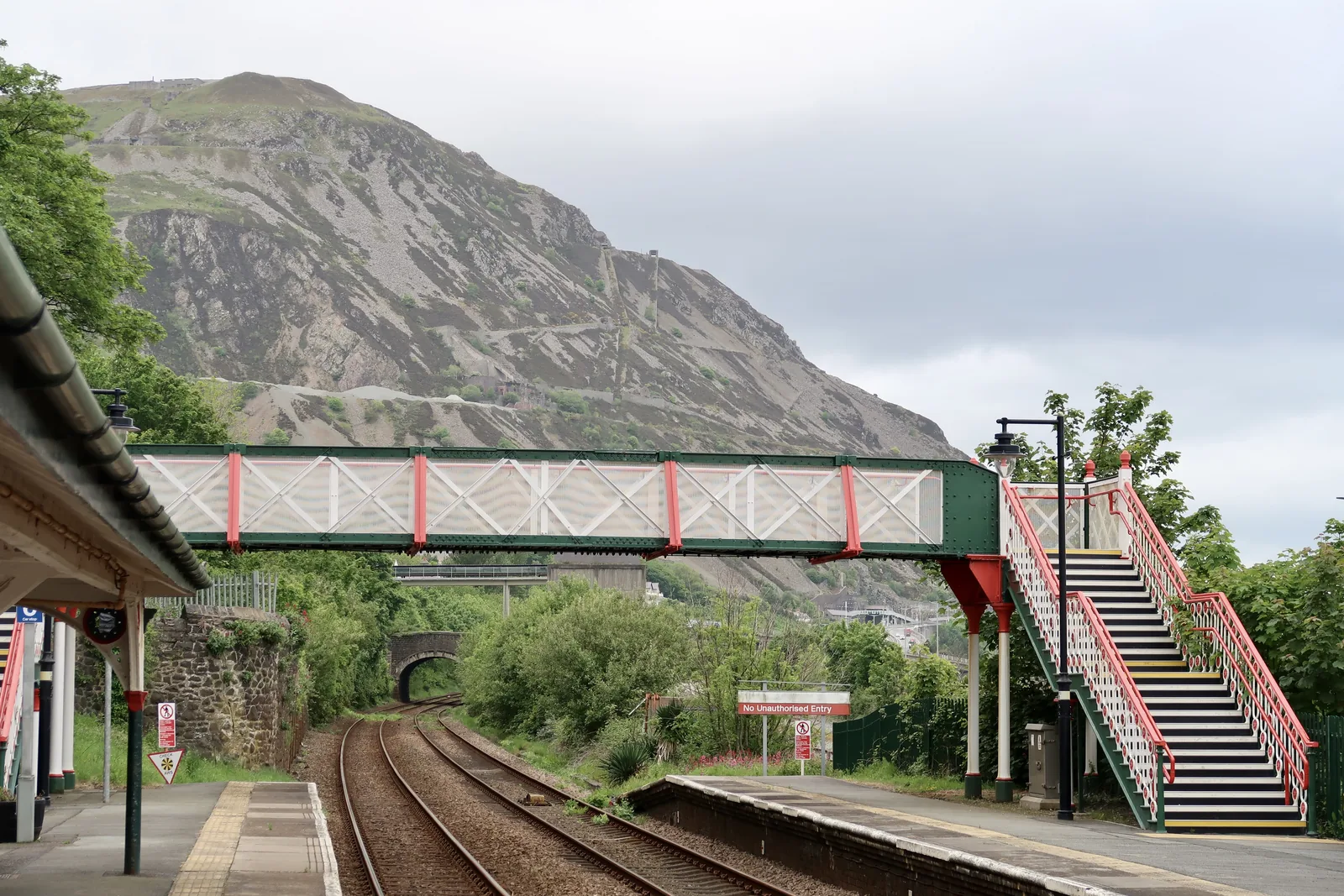
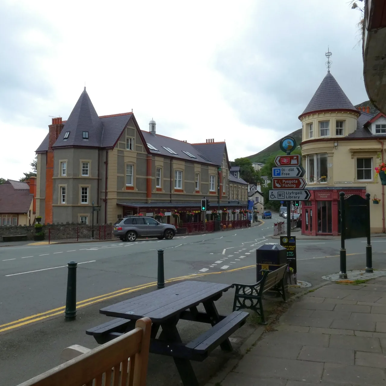
A thousand men worked the granite here. The ships stopped loading in 1976, the contract went in 2008, and the shops stayed open through both.
Penmaenmawr & Welsh Granite Co., 1911–2008
04Plan
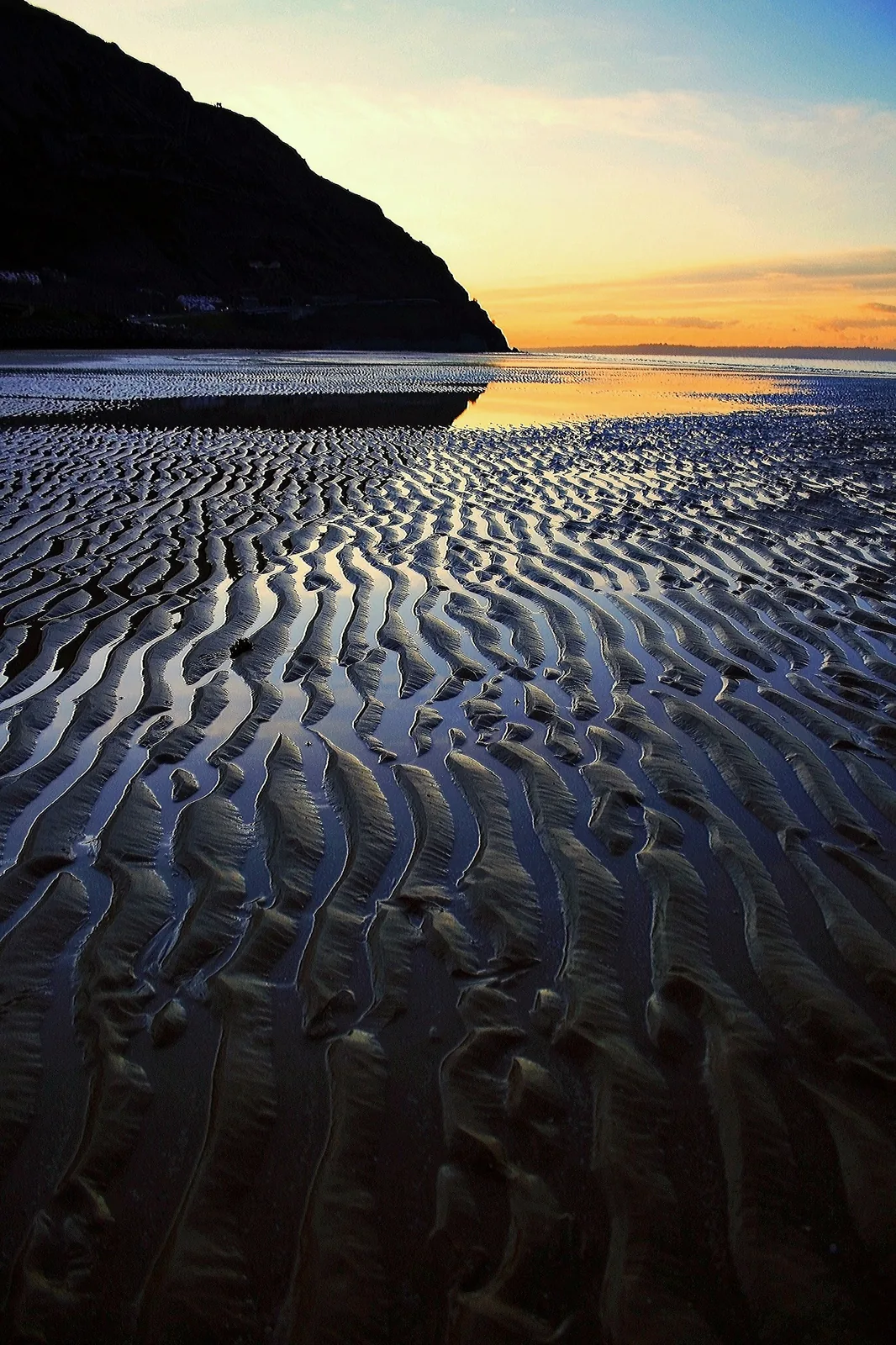
Park free at the west end and walk east with the tide out.
Past the huts, the playground and the sailing club to the café.
The memorial sits on its island where the two roads meet.
Local granite, and a tower added seventeen years after the church.
The memorial, the arcade and the museum are all within two hundred metres.
If it is open: the quarry years, in the town’s own photographs.
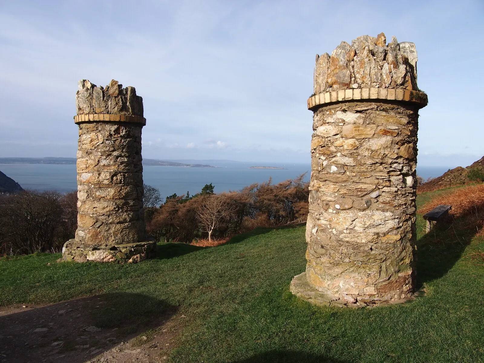
Two stone towers mark where the jubilee path begins.
The path holds its height; Anglesey and the Orme come round with it.
A short pull off the circuit puts you on the 362-metre top.
The roofs drop away fast; the bay opens behind you within minutes.
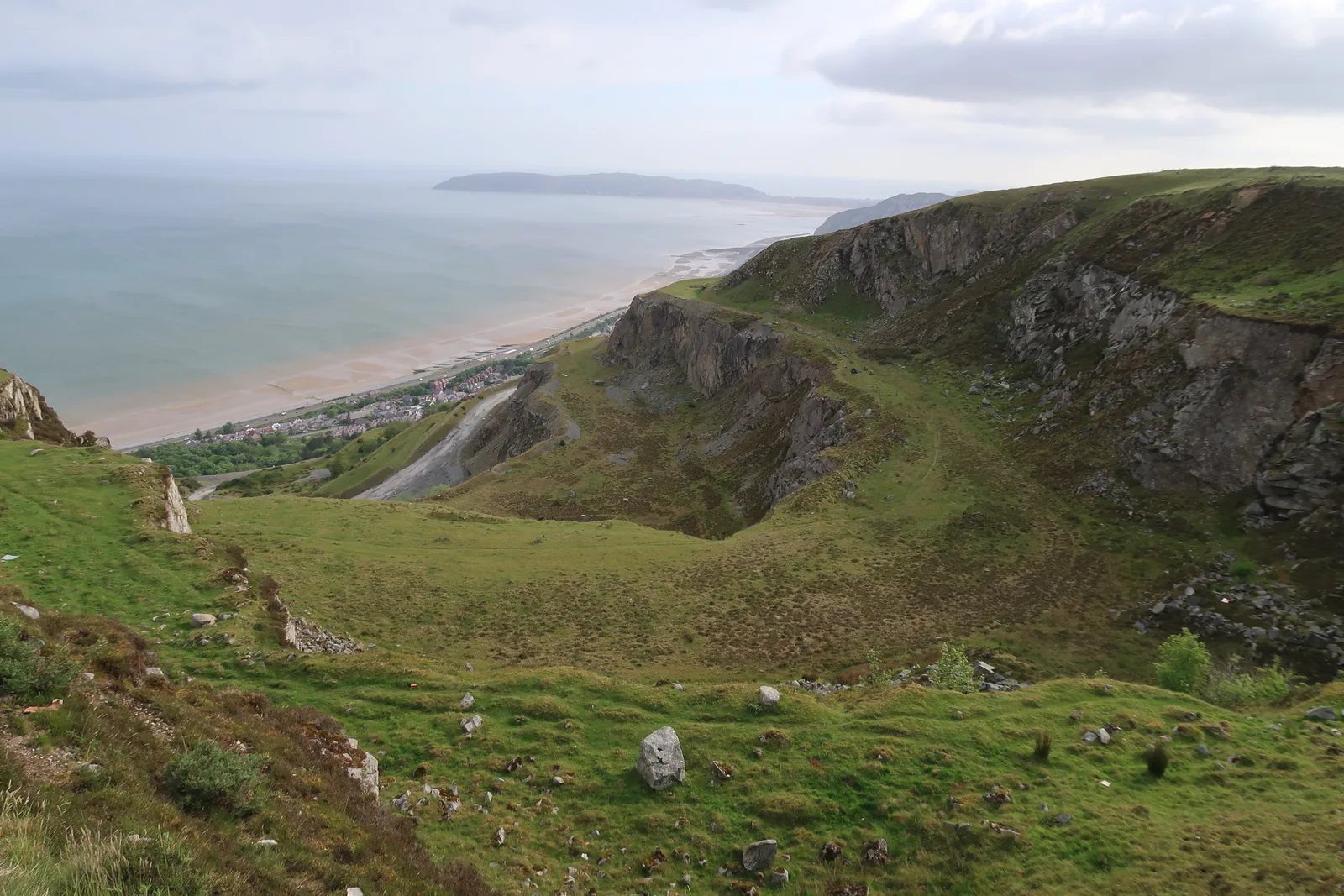
Grass has taken back the lower hollows. The face above has not.
Pick up the jubilee circuit and follow it to the inland side.
Open moor, no shelter, and the circle standing in the middle of it.
There is no loop back to town from here that is shorter than the way up.
Practical
Everything you need for arriving and getting around.
Getting here
The A55 runs along the shore below the town and passes through the headlands on either side in tunnels, with access at Junctions 16 and 16A. Fernbrook Road is the council pay-and-display car park; the Promenade car park, out on the seafront, is free. The promenade sits seaward of the expressway and is reached on foot by footbridge.
Open Penmaenmawr in Google MapsPenmaenmawr has its own station on the North Wales Coast Line, with an hourly service. It sits between the town centre and the seafront, so both are a few minutes’ walk from the platform, which makes this one of the easier beaches on this coast to reach without a car. Times vary by day and season; check before travelling.
Penmaenmawr station: live times and informationPractical details
Fernbrook Road is the council pay-and-display car park, and the only one the council lists here. The free Promenade car park sits seaward of the expressway, reached on foot by the footbridge — the easiest start for a beach walk. Paradise Road, in the town, is privately run. Bus routes and times are on Traveline Cymru rather than stated on this page.
Penmaenmawr car park (Conwy County Borough Council) Bus routes and times, Traveline CymruCharges and restrictions can change. Check the signs when you arrive.
Fernbrook Road
Town centre · the main car park
Google Maps (opens in a new tab)Promenade
The promenade · for the beach
Google Maps (opens in a new tab)Paradise Road
Paradise Road · town centre
Google Maps (opens in a new tab)Over half a mile of sand, with rocks and coastal defences at either end and the Wales Coast Path running behind it. There are public toilets on the promenade, and a café, a paddling pool, a playground, a skate park and beach huts along it. There is no lifeguard service. Award status for the beach changes annually and is not stated here; check the official listing.
Visit Conwy: Penmaenmawr BeachNone · no lifeguard service on this beach
Public toilets, café, playground, skate park
By footbridge over the expressway from the town
The Jubilee Path is a graded contour path of about a mile and a half around Foel Lus, usually started from the parking area at the end of Mountain Lane. It is not step-free. Beyond it, Cefn Coch is open moorland: exposed, with no shelter and no signposting from the seafront, and it needs visibility, boots and a map. The quarry workings themselves are a mothballed industrial site and are closed to the public.
Do not treat the walk to the stone circle as an extension of the beach. It gains around 300 metres and finishes on open moor.
About 1.5 miles round Foel Lus; graded, open at all times
Open moor; exposed, unsignposted, needs visibility
The promenade is the family end of the visit: playground, paddling pool, skate park and level walking, all on the seaward side of the expressway. A dog-friendly stretch of the beach is signposted on the ground, and Conwy operates a county-wide Dog Control Public Spaces Protection Order, but the seasonal dates and the exact boundaries are not published in any source checked for this guide, so none is stated here.
Read the signs at the beach entrance rather than relying on a date printed anywhere, and remember there is no lifeguard cover here.
Conwy County Borough Council: controlling your dog in public
The beach and the town centre are one short walk apart, split by a footbridge. Everything else is uphill, and the higher you go the less shelter there is.
East along the same coast
Four real Atlas destinations pair with a Penmaenmawr visit; distances are straight-line from the town centre, not driving times.
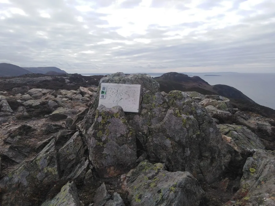
The far end of the same upland, over the Sychnant Pass: another hillfort ridge above the sea, and the natural continuation if the Jubilee Path leaves you wanting more.
About 2.6 miles north-east (straight-line)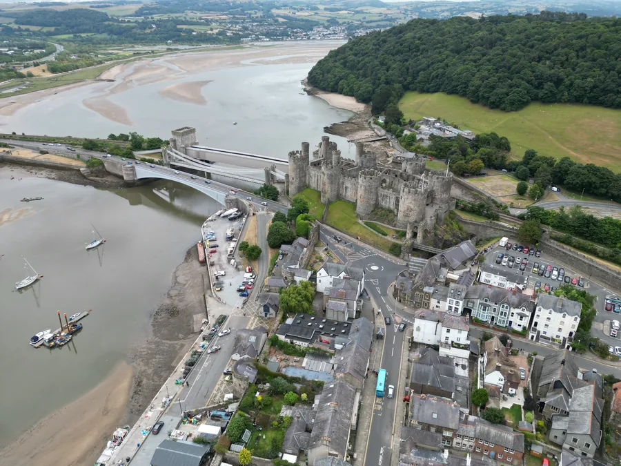
A complete walled town at the mouth of the estuary: the medieval, ticketed, busy counterpart to a place whose best monument sits unfenced on a moor.
About 3.8 miles east (straight-line)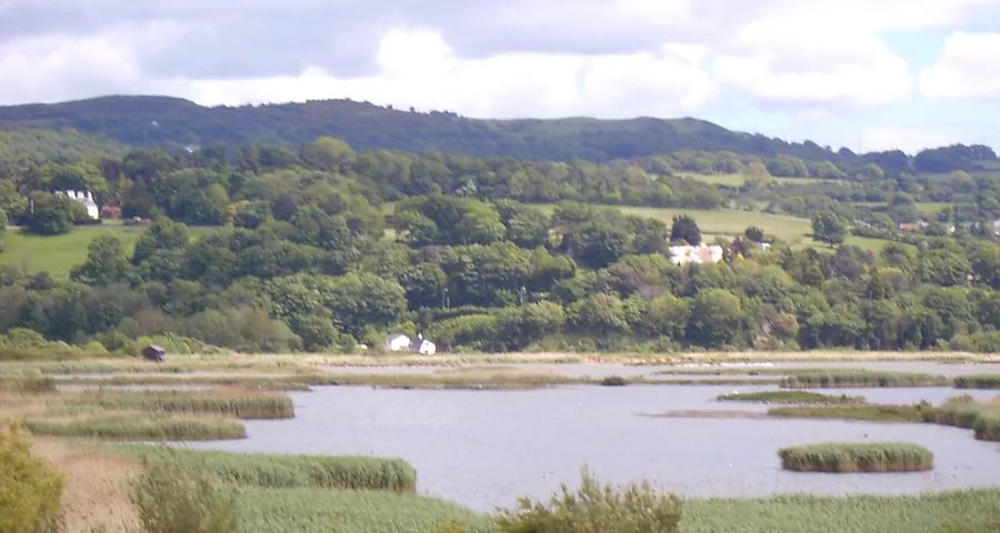
Lagoons dug out of the spoil from the estuary tunnel: another stretch of this coast remade by road building, and the flattest, easiest walking anywhere near here.
About 4.7 miles east (straight-line)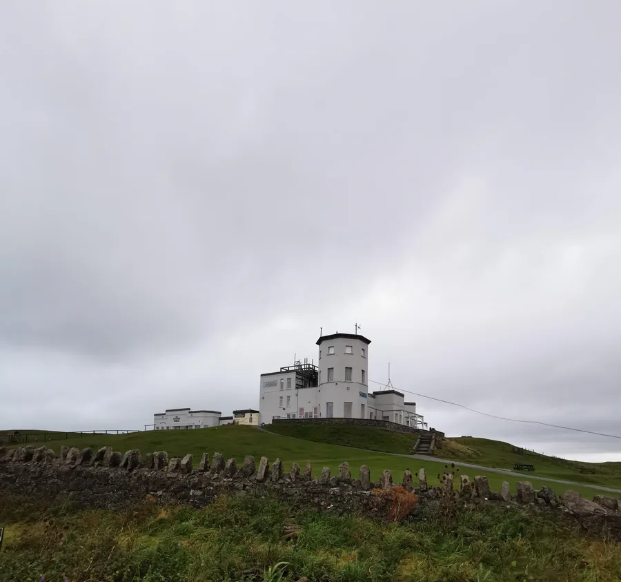
The headland you can see from the sand here: limestone where Penmaenmawr is granite, and Bronze Age copper mines where this town has a Bronze Age circle.
About 5.2 miles north-east (straight-line)Before you go
Everything the town built sits below a circle nobody has ever charged to see.