The National Mountain Centre
A working national mountain centre at the village edge, where courses run daily rather than exhibits sit still.
Conwy County Borough · Eryri (Snowdonia)
A road-junction village at the heart of Eryri, where Plas y Brenin trains climbers and canoeists, and Llynnau Mymbyr holds the Snowdon Horseshoe in reflection.
01The village
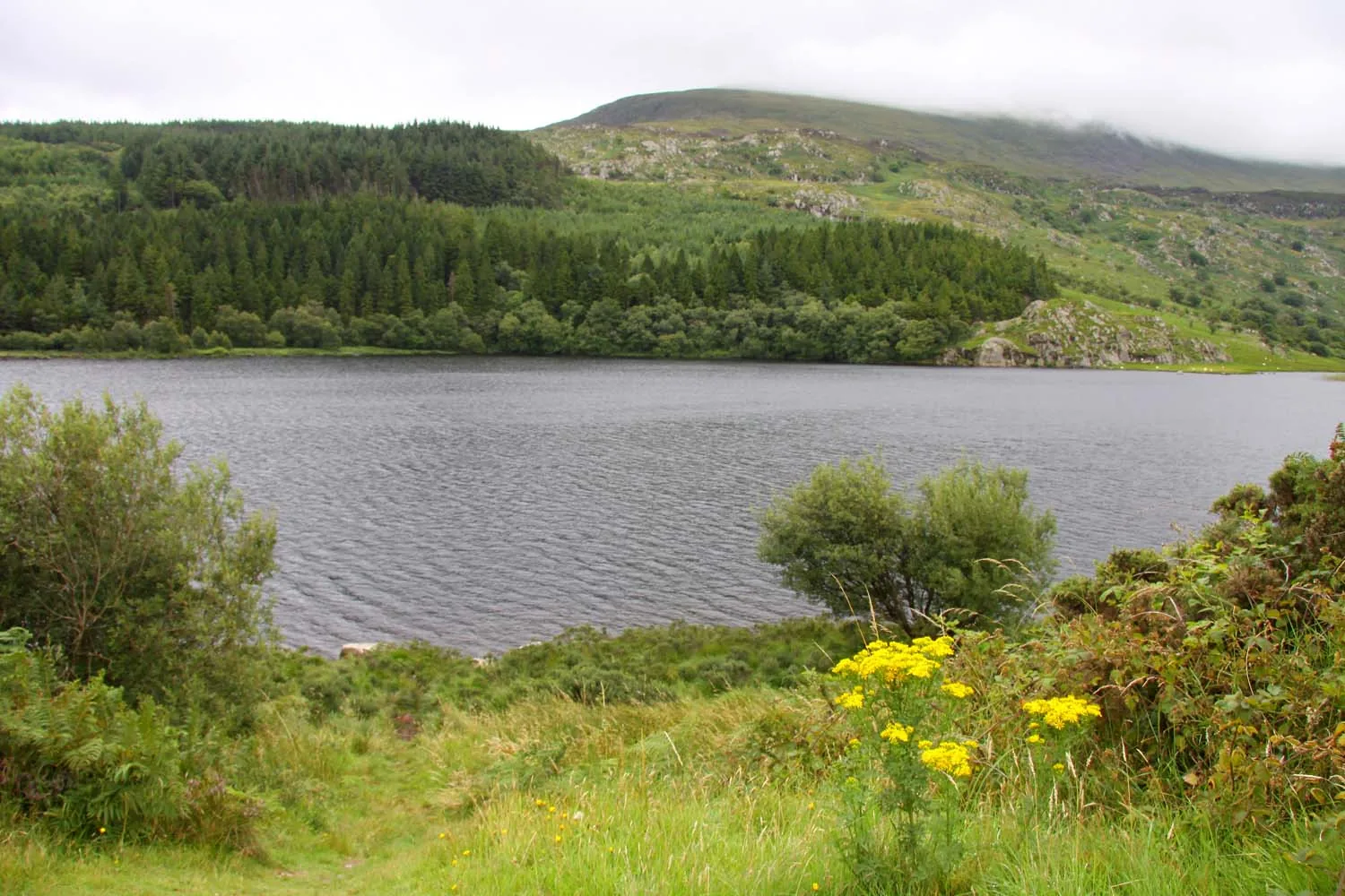
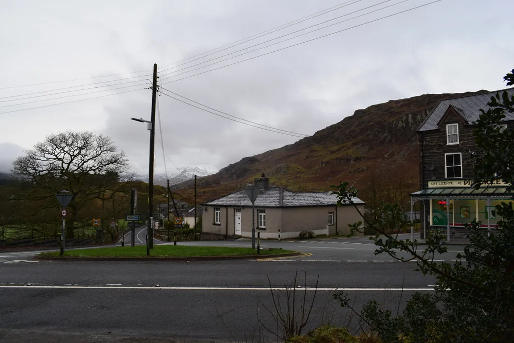
Capel Curig sits at the junction where the Holyhead road meets the road to Llanberis, in the heart of Eryri. The village is strung along the first of those, with Plas y Brenin, the UK’s National Mountain Sports Centre, a few minutes’ walk from the centre. Llynnau Mymbyr lie just beyond it, holding the reflection of the Snowdon Horseshoe.
Few places in Wales combine this much mountain access with this little fuss. Capel Curig works as a short stop on the way through, or as the base for a day at Plas y Brenin, on Moel Siabod, or further into the Ogwen and Pen y Pass country.
Character
Capel Curig is small and functional rather than curated, with hotels, a pub or two, and Plas y Brenin’s climbers and canoeists passing through, not a shopping destination.
Pace
The centre, both churches and the lake are a short walk apart; Moel Siabod and the wider Ogwen/Pen y Pass country are minutes further by road.
Landscape
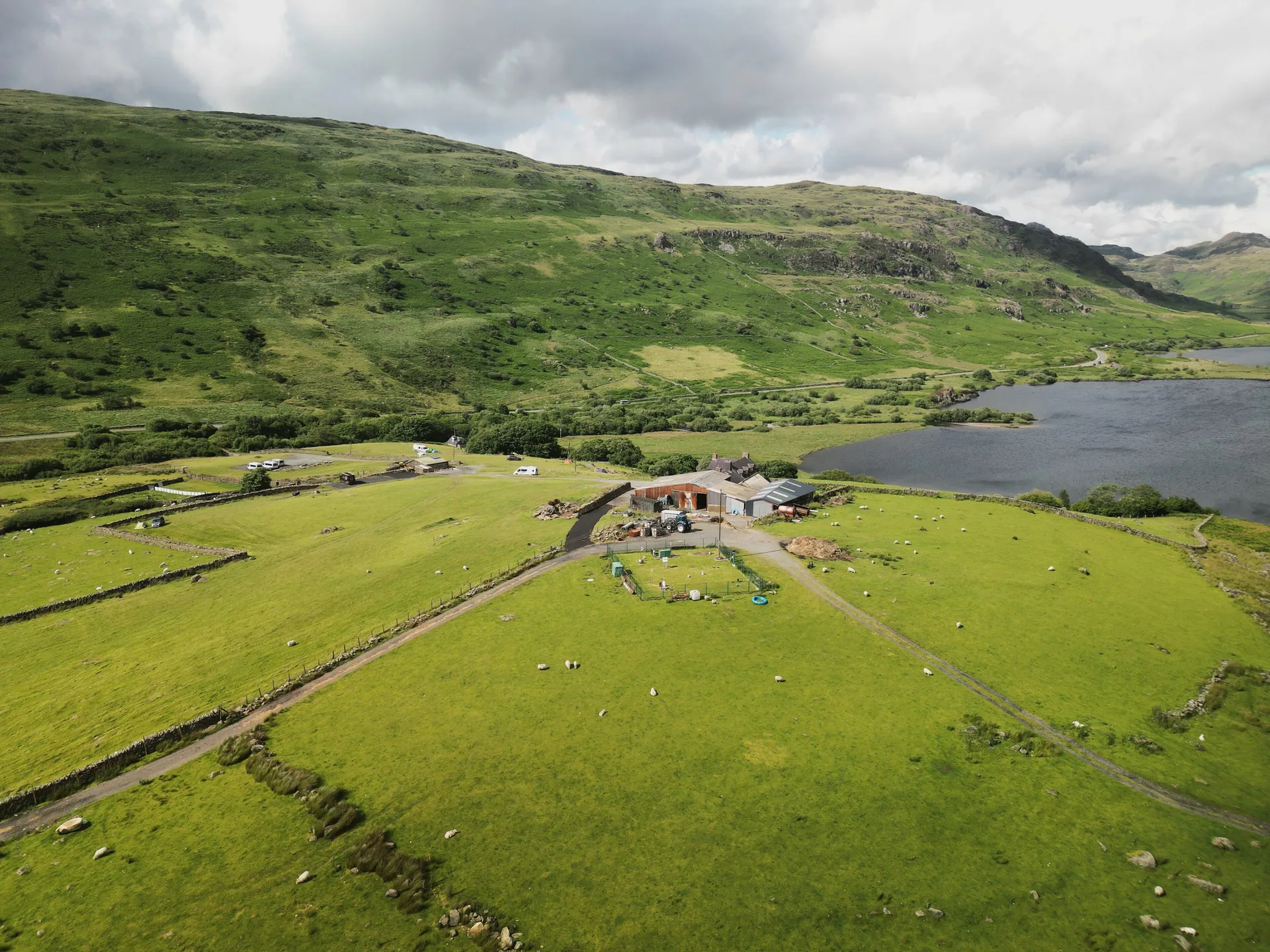
Two lakes fill the valley west of the village, with Moel Siabod rising south and the Carneddau north. All that high ground makes this some of the wettest land in Britain: 2,697 mm of rain a year.
Best for
Best for walkers and climbers using Plas y Brenin or the surrounding peaks as a base, and for the classic Snowdon Horseshoe reflection photograph.
02Discover
A working national mountain centre at the village edge, where courses run daily rather than exhibits sit still.
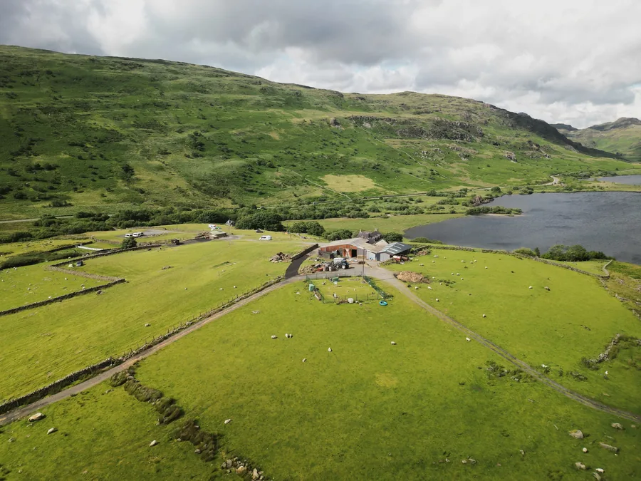
On a still day the lake doubles the Snowdon Horseshoe, which is why coaches have stopped here for so long.
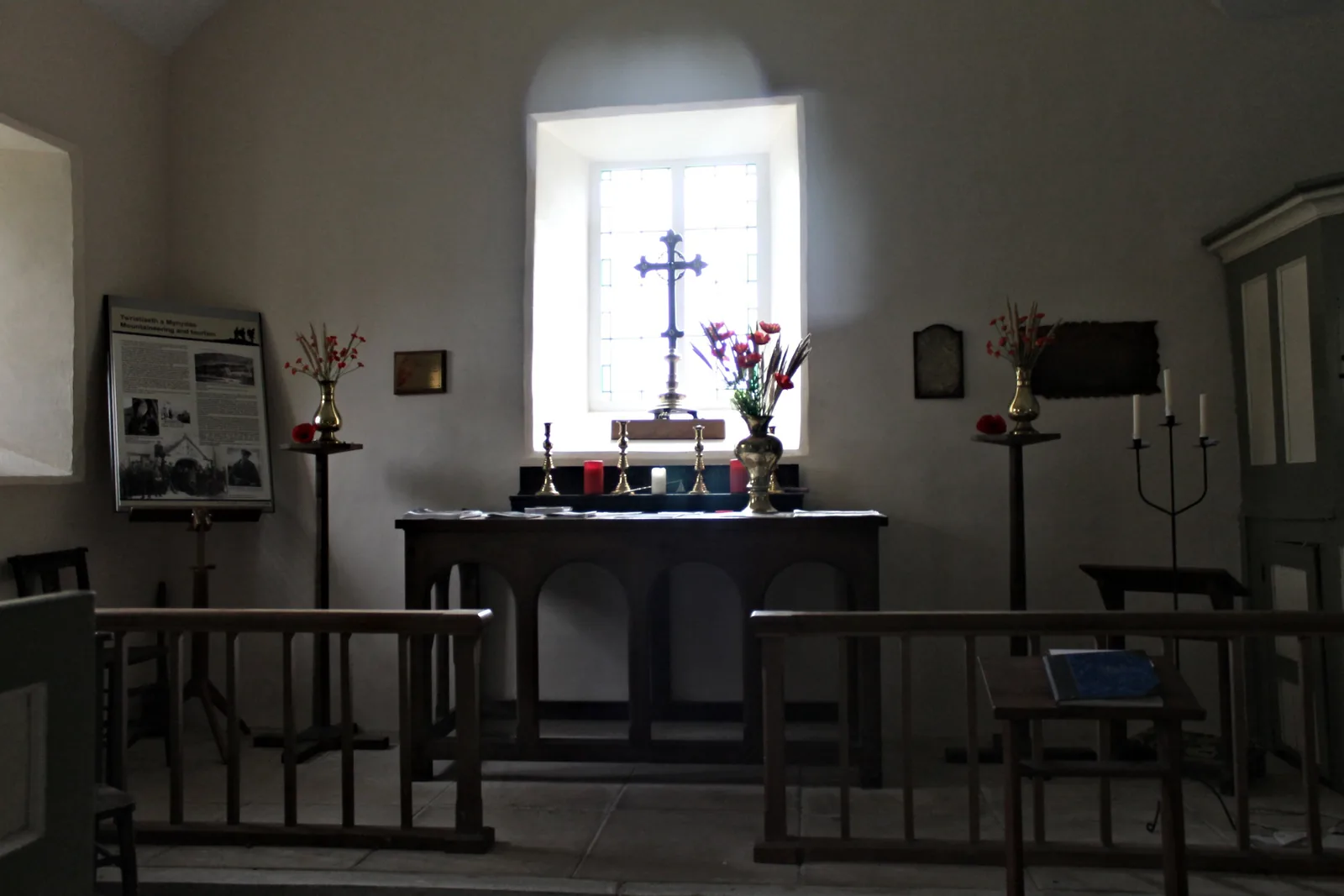
A tiny deconsecrated church in its own graveyard beside the road, smaller than most village halls.
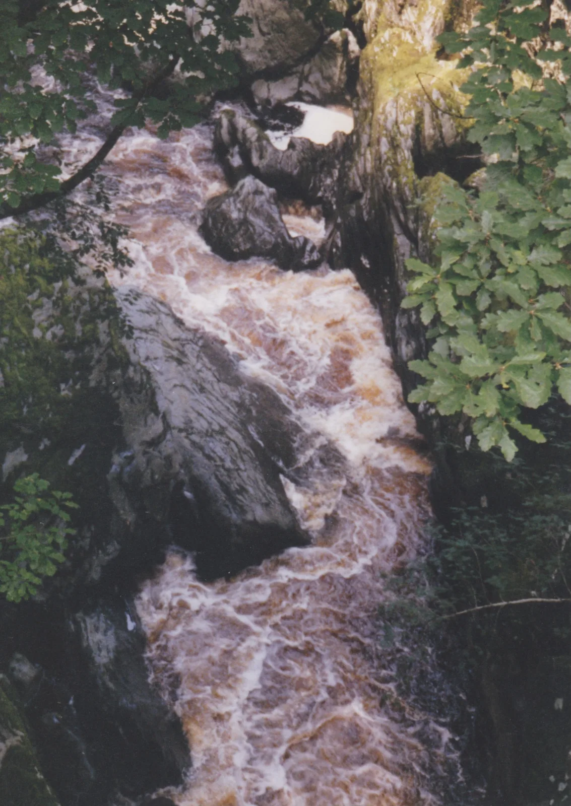
You only find the Llugwy dropping through rock once you are standing on the bridge itself.
Beyond the first defining moments, the fuller Capel Curig catalogue continues below.
A crossroads village strung along two roads, with five stops, none of them far from the junction itself.
No verified image yet
Capel Curig centre
Where the two roads meet. Capel Curig’s hotels, pubs and the free car park all sit at the junction.
Five stops, none far from the junction: the village centre, a working outdoor centre, a lake with a famous view, and two very different waterside crossings. No pubs or hotels are listed here as recommendations; see Local life for the village’s everyday character.
Village centre
Everything here radiates from one road junction: hotels, a pub or two, and a free car park. A working stop, not a shopping street.
Heritage
Easy to drive straight past, which is part of its character. The graveyard holds generations of the village, including several lost to the mountains above it.
Outdoor centre
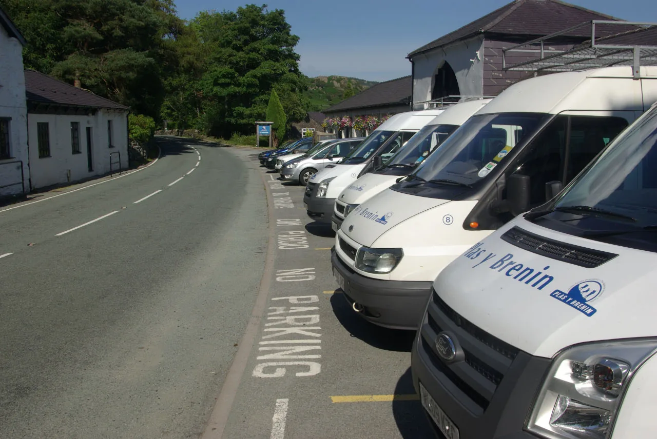
The UK’s national mountain sports centre at work, with climbers on the slope, canoeists on the lake, kit going into minibuses. Not built for spectators.
Check courses and opening (opens in a new tab)Lake & viewpoint
The view most people picture when they picture Capel Curig: on a calm day the Snowdon Horseshoe doubles itself across the water. Worth waiting for stillness.
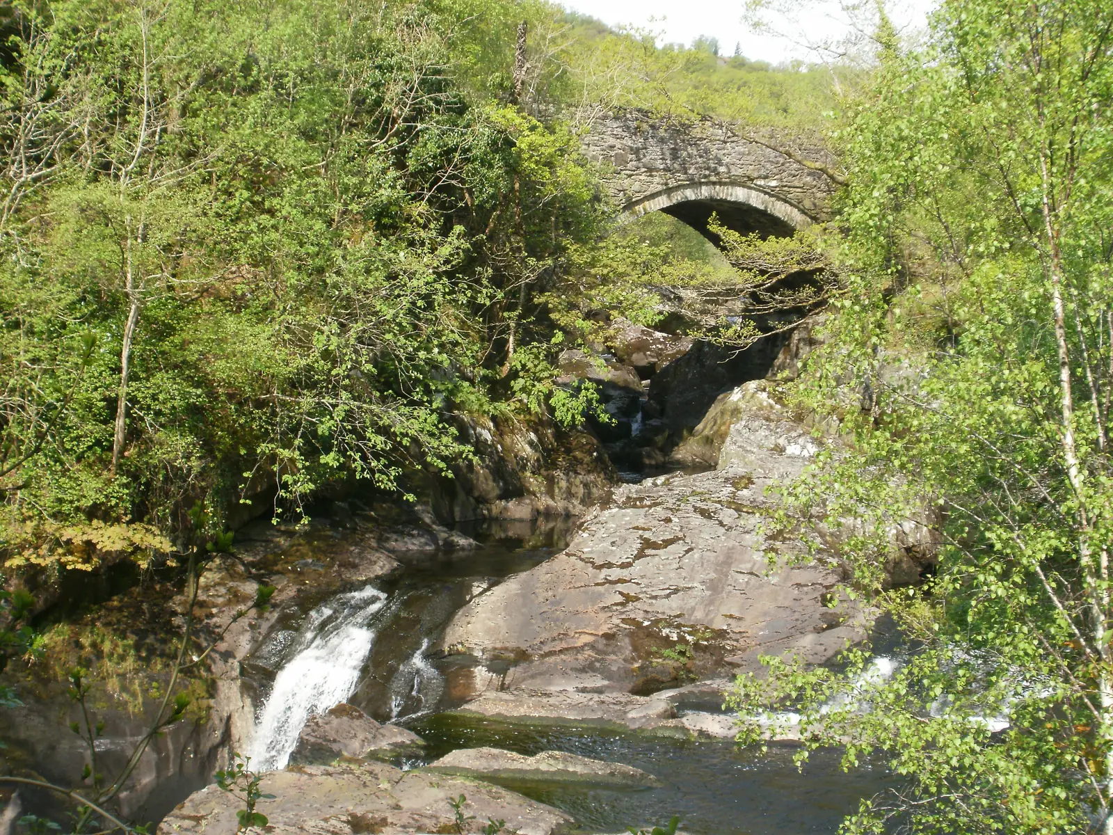
Bridge & waterfall
No car park, no sign, no fee: just an old packhorse bridge, and a waterfall you only discover once you are already standing on it.
View the current T10 timetable (opens in a new tab)Course dates, opening arrangements and bus times change seasonally, so confirm current details before you plan a day around them.
Plas y Brenin, official site03Story
Capel Curig takes its name from a chapel dedicated to St Curig, but the building most visitors now find beside the road is younger than that name suggests, and the village’s real growth came later, with the road itself.
Tradition traces the name to a 6th-century foundation by St Curig, a Celtic bishop. The building that stands today, near Plas y Brenin, is later, a small, deconsecrated church now known as St Julitta’s.
As Capel Curig grew through the 19th century, a larger St Curig’s church was built in the village itself, and it was this new building that pushed the older one’s dedication to be distinguished as St Julitta’s.
In 1931, 21-year-old Thomas Firbank bought Dyffryn Mymbyr, the sheep farm running up the valley behind the village, and turned the experience into the bestselling memoir I Bought a Mountain. His former wife Esmé later co-founded the Snowdonia Society; the farm is now National Trust holiday cottages.
Plas y Brenin grew into what is now the UK’s National Mountain Sports Centre, and Capel Curig’s identity as an outdoor-training base (climbers, canoeists, mountain rescue) has grown up around it ever since.
The village keeps the name of a 6th-century saint, and the shape of a road junction, both still visible, if you know where to look.
Atlas of Wales
Capel Curig is tiny, but it isn’t only a pass-through. Plas y Brenin’s courses run year-round, a handful of hotels and pubs serve walkers and climbers rather than day-trippers, and the free car park at the centre stays busy with kit vans as much as cars.
Visitors share the village with people who live and work here: instructors, mountain rescue volunteers, farmers on the hill behind. The centre is busiest when Plas y Brenin has a course running or the through-traffic is at its summer peak; otherwise, it’s quiet.
There are no confirmed public toilets in the village itself, so use facilities before you arrive, or at Plas y Brenin if you’re visiting on a course.
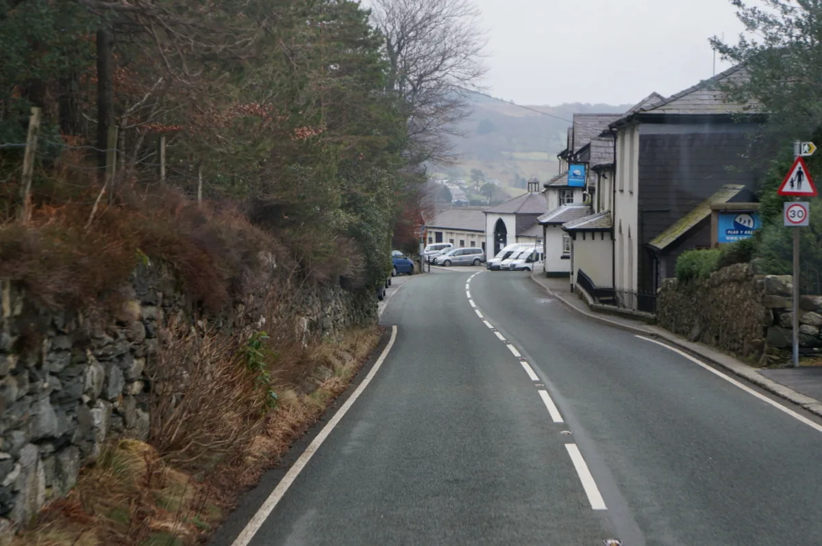
Plas y Brenin’s courses, kit vans and minibuses are as much a part of daily Capel Curig as anything else. A village built around the mountains, not around visitors.
Both roads carry walkers, climbers, cyclists and through-traffic in roughly equal measure, and Capel Curig’s rhythm follows the traffic as much as the season.
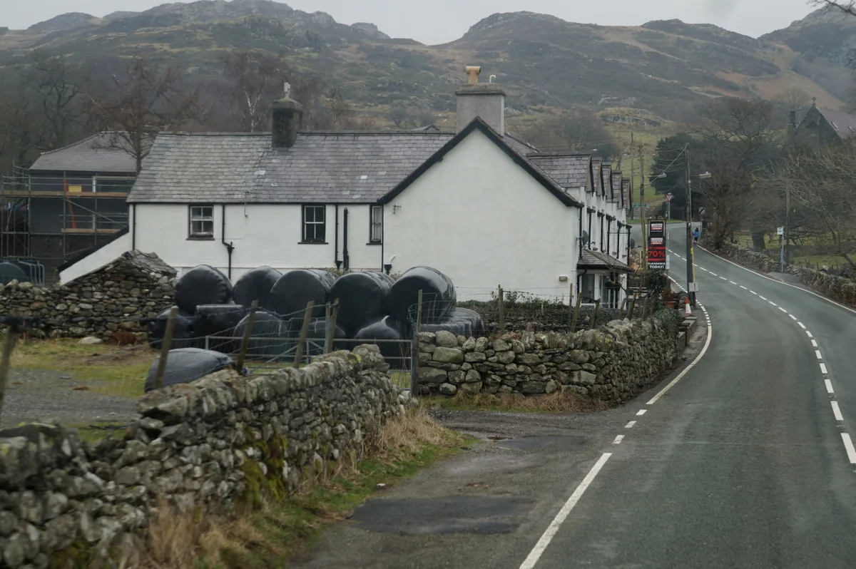
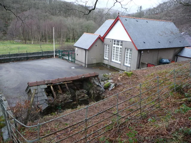
Behind the hotels and the outdoor-centre traffic, Capel Curig remains a small, largely Welsh-speaking community, with a school building, a war memorial and a chapel history of its own.
The village in one visit
The centre, both churches, Plas y Brenin and the lake all sit within a short walk west of the junction; Pont Cyfyng and Cyfyng Falls are a longer walk or a short drive east. Start at the junction and the shape of the place explains itself.
Plan your time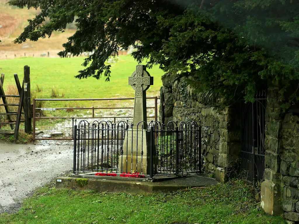
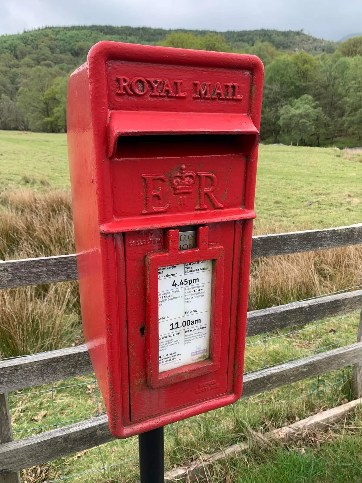
Two churches share one saint’s name here, evidence of a village that grew faster than it forgot its own history.
Atlas of Wales
04Plan
The free 24-hour car park sits right at the junction.
A few minutes west, in its own graveyard.
The National Mountain Centre, and the reflection view beyond it.
Retrace the same road to the centre.
The free 24-hour car park at the junction.
The older church, quiet in its own graveyard.
The National Mountain Centre at work.
Pause for the Snowdon Horseshoe reflection.
Past the newer church and the old coaching hotels.
East of the village, on foot or by car.
Practical
Everything you need for arriving and getting around.
Getting here
Capel Curig sits directly on the A5, exactly where it meets the A4086, so there’s no need to leave a main road to reach it. The free car park is right at the junction.
Open the car park in Google MapsThe T10 (Corwen–Bangor, via Betws-y-Coed) stops at several named points through the village, including outside St Curig’s Church and Bryn Tyrch Hotel, and at Pont-Cyfyng.
TrawsCymru T10 timetablePractical details
One free, 24-hour car park sits right at the centre, at the A5 × A4086 junction, run by Eryri National Park Authority. Plas y Brenin offers free parking too, in its own words to course attendees and centre visitors.
Check the Eryri NPA parking pageCapel Curig
Village centre · at the A5 junction
Google Maps (opens in a new tab)No public toilets are currently listed for Capel Curig by Conwy County Borough Council.
Check Conwy’s current toilets listNone confirmed in the village itself
Plan ahead, or use facilities at Plas y Brenin if visiting on a course
Park-wide Eryri rules apply: dogs on a 2 m lead on Open Access Land from 1 March to 31 July, and under close control near livestock at all times.
Eryri NPA · dog rules2 m max, 1 Mar–31 Jul, on Open Access Land
Not permitted anywhere without the landowner’s or farmer’s permission
The Met Office’s own Capel Curig station is genuinely one of the wettest in the UK. Pack for rain whatever the season.
Met Office · Capel Curig forecast Met Office · Capel Curig long-term averages2,697 mm a year (1991–2020 average, Met Office)
No single seasonal gate exists · General Eryri mountain-weather caution applies
Everything in this guide is a walk along one of two roads from the centre: St Julitta’s and Plas y Brenin to the west, Pont Cyfyng to the east.
Use Capel Curig as a base
Four real Atlas destinations pair with a Capel Curig visit. Distances are straight-line from the village centre, not driving times.
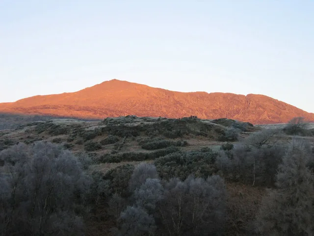
An 872 m mountain rising directly above the village, a scrambling ridge one way, a gentler shoulder the other, both starting close to Capel Curig itself.
About 2.4 miles south (straight-line)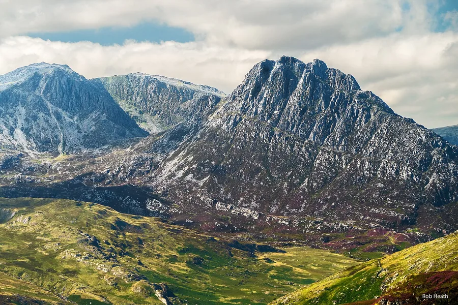
A 917 m Ogwen Valley summit where every route to the top is a scramble, and the next mountain along the same valley road Capel Curig sits on.
About 3.6 miles west (straight-line)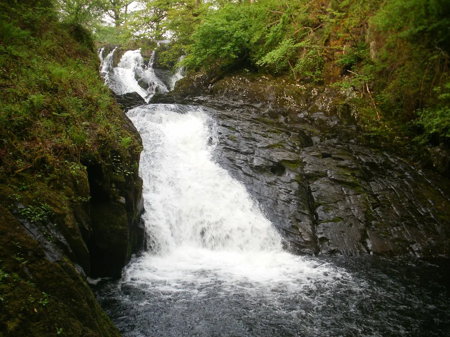
A roadside cascade on the same river as Capel Curig’s own Pont Cyfyng, a short way further east towards Betws-y-Coed.
About 2.8 miles east (straight-line)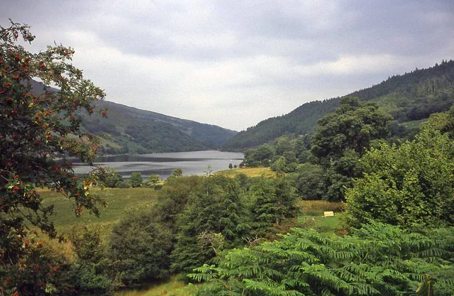
Two forest lakes above Trefriw, linked by an NRW trail through old mining ground.
About 2.5 miles north-east (straight-line)Before you go
Two roads, two churches, and Eryri in every direction from one small junction.