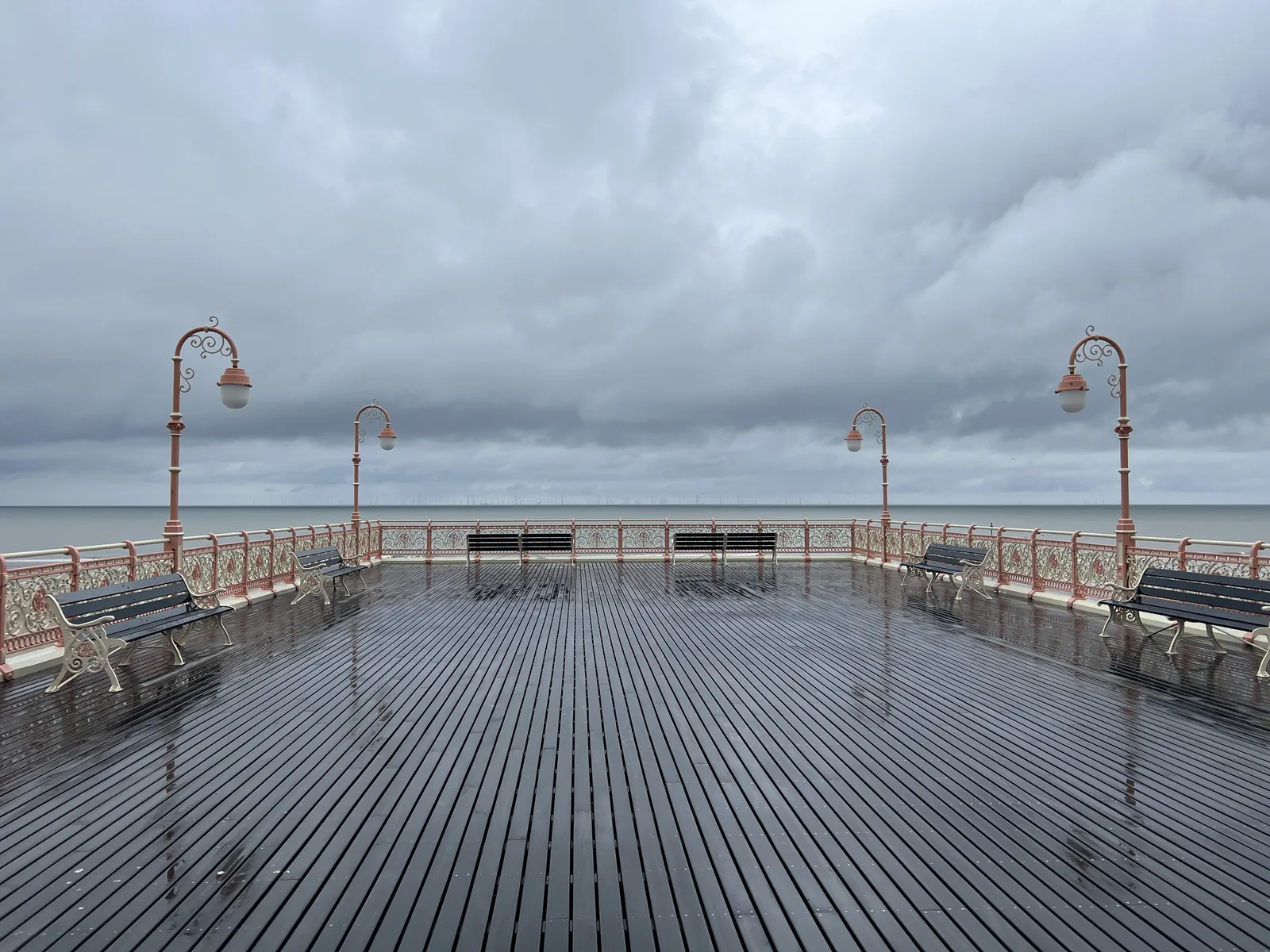
Walking out on three bays
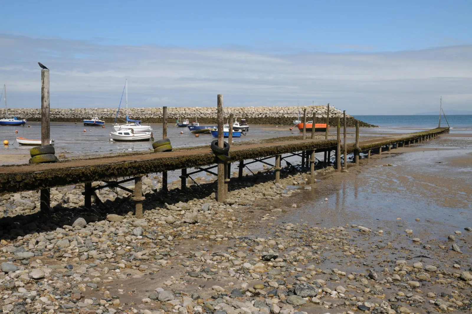
A 45-metre deck out over the sand with nothing built on it, which is exactly the point.
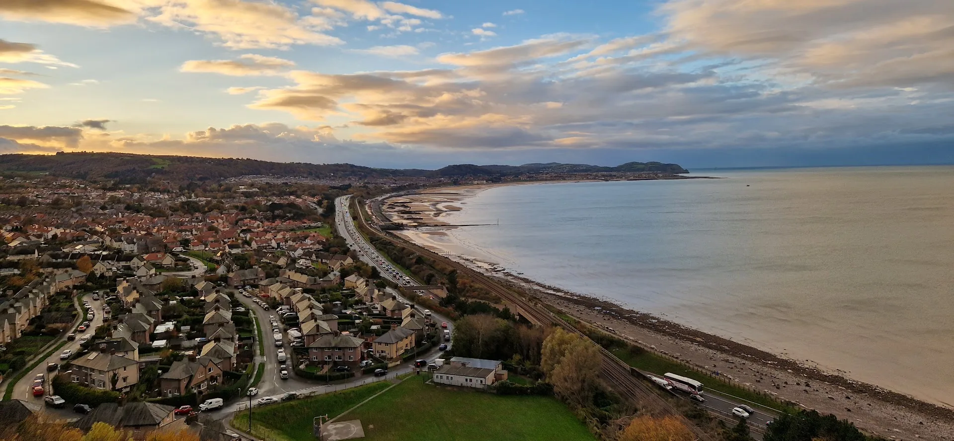
Conwy · the North Wales coast
A resort the railway made, rebuilding its own front: two miles of remade promenade below a town centre that sits uphill from the sand.
01The town
Colwyn Bay is arranged in two layers that never quite meet. Below, a promenade runs for over two miles along the bay, from the jetty at Rhos-on-Sea in the west to Old Colwyn in the east, carrying the Wales Coast Path. Above it, on the slope, sits the town itself: Station Road, Abergele Road, the shops and the theatre. Between the two run a railway and an expressway, crossed by an underpass.
Most Welsh coastal towns show you what they used to be. Colwyn Bay shows you what it is doing about it: a pier that failed and came back shorter, a beach that had to be delivered, and a seafront rebuilt end to end within a decade.
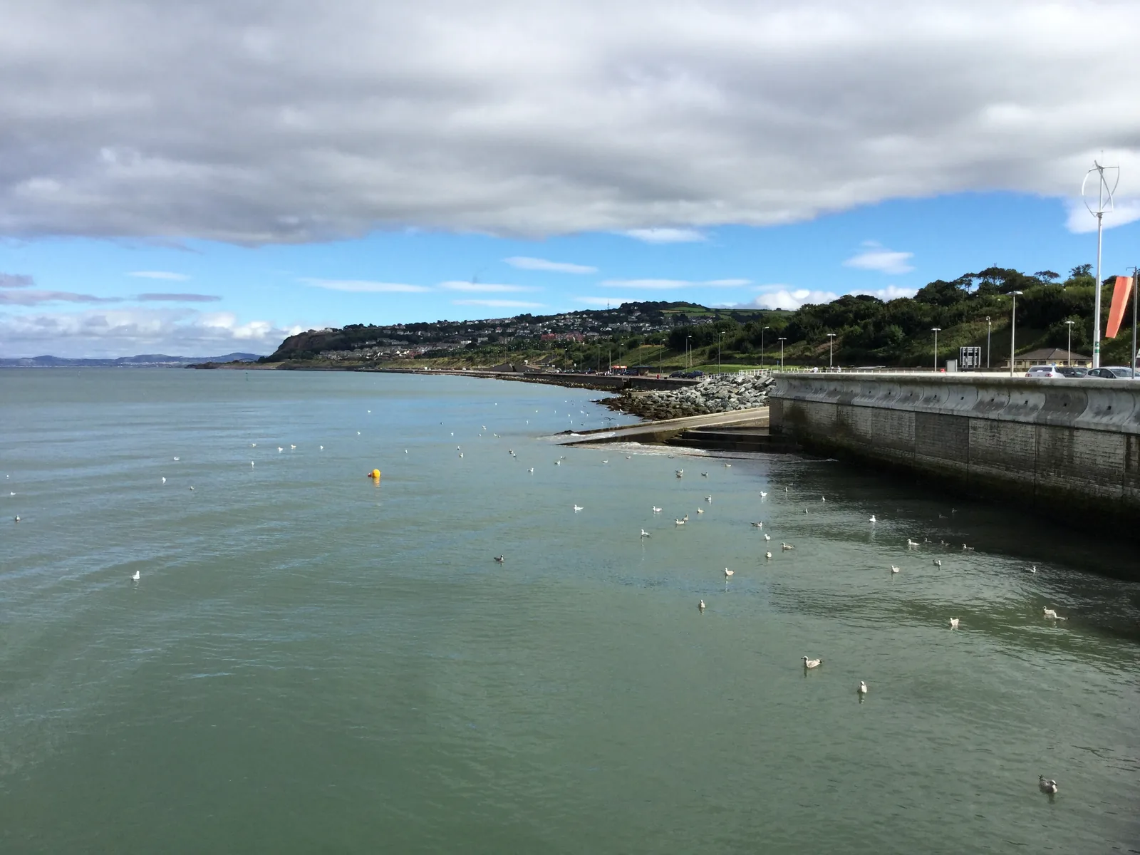
Character
Around 29,000 people live in the built-up area. Shops, a theatre, schools and a leisure centre serve them; the seafront is the visitor half, and the town above it carries on regardless.
Pace
The promenade is flat and hard-surfaced for its whole length. Getting from it to the shops means an underpass and a hill: the one bit of effort in the whole visit.
Landscape
A long open bay closed at its western end by the Little Orme, and twenty-one hectares of woodland local nature reserve on the slope directly behind the high street.
Best for
The station is step-free with lifts to both platforms, and both the sea and the shops are a few minutes’ walk from it, in opposite directions.
02Discover
A 45-metre deck out over the sand with nothing built on it, which is exactly the point.
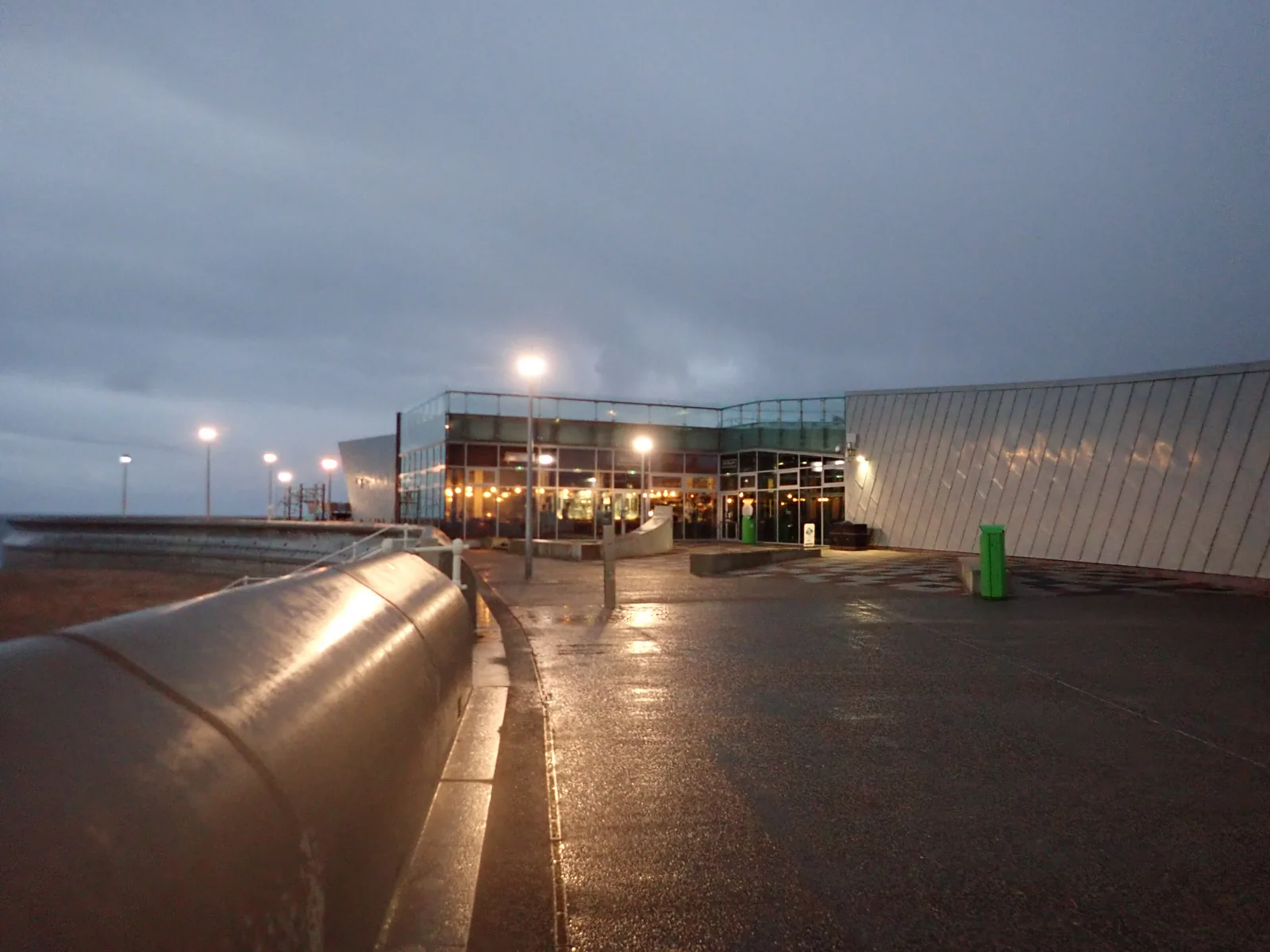
A watersports plaza and bistro on the front, where the rebuilding of this seafront actually began.
A stone chapel with room for six people, its altar built over a spring and its door facing the sea.
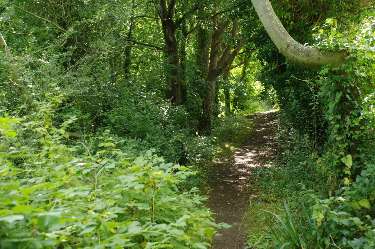
Climb past the shops and the town runs out into twenty-one hectares of woodland with waymarked circuits.
Beyond the first defining moments, the fuller Colwyn Bay catalogue continues below.
Two lines, crossing at the underpass: the promenade running west to east along the bay, and the town climbing away from it; six points, spread across roughly two and a half kilometres.
No verified image yet
Victoria Pier
On the promenade below the town centre; from Station Road take the underpass and turn left.
Six destinations: two on the rebuilt seafront, one in the town centre, a municipal park, a woodland reserve, and the smallest chapel in Britain at the promenade’s western end. No pubs, cafés or shops are listed here; see Local life for the town’s everyday character.
Grade II pier
A short new deck over the sand, edged with cast-iron balustrades saved off the Victorian pier that collapsed. Free, open, and with nothing built on it.
Watersports & beach
Where the seafront rebuild began: a glass-and-timber plaza with a watersports centre and a bistro. The dry sand in front of it was brought in and shaped.
Check opening times (opens in a new tab)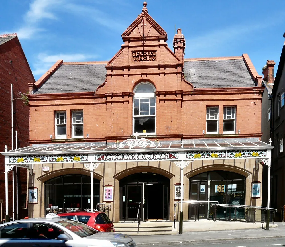
Working theatre & cinema
One of the longest continuously running cinema venues in the country, and still a working one: film, drama, dance and live music in the same room.
Book tickets (opens in a new tab)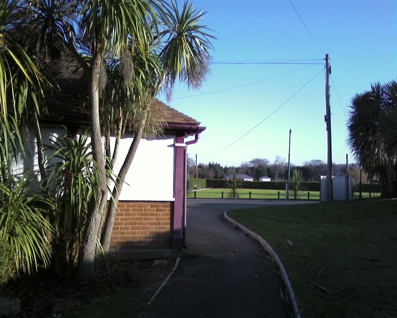
Municipal park
Fifty acres of park a resort town bought for itself, still doing the same job: boating lake, bowling greens, tennis courts and an events stadium.
Check leisure centre opening (opens in a new tab)Local Nature Reserve
Woodland climbing the slope directly behind the shops: the surviving fragment of the estate whose sale created the town, with four waymarked circuits inside.
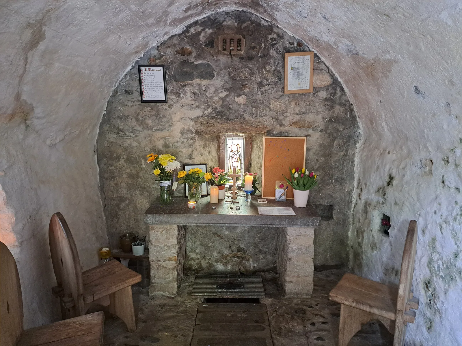
Grade II listed chapel
Step through the door on the foreshore and there is room for six people, with the altar standing over a spring. Still in weekly use.
Check opening times (opens in a new tab)Theatr Colwyn’s programme, Porth Eirias’s seasonal watersports provision and St Trillo’s service times all change and none is printed here. Confirm anything you plan a day around.
Theatr Colwyn: what’s on03Story
Nothing here grew slowly. A railway arrived, an estate was sold, and a resort was laid out on the slope in a single generation, and when the front it was built around finally failed, the same thing happened again.
The bay belonged to the parish of Llandrillo-yn-Rhos. A chapel dedicated to St Trillo stood over a spring on the foreshore, and around 1186 Cistercian monks are recorded working a fish weir at Rhos Fynach nearby. When the railway came, this was still the only settlement pattern here.
The Chester and Holyhead Railway reached the shore in 1849 and opened a station called simply Colwyn, renamed Colwyn Bay in 1876. In September 1865 the Pwllycrochan estate — a mansion, its gardens and some seven hundred acres of the hillside — was sold for £26,000, and the land the town now stands on went into development.
A Public Hall went up on Abergele Road from 1885 and was showing films by January 1909. The Victoria Pier opened on 1 June 1900 and was extended three years later. Its pavilion burned in 1922, was rebuilt, burned again in 1933, and a third opened in 1934. The National Eisteddfod came in 1910 and again in 1947.
When war broke out the Ministry of Food was moved out of London to Colwyn Bay, and the civil servants who came with it ran national food distribution and rationing from here. The Dig for Victory campaign was directed from this coast, out of requisitioned hotels and offices in a seaside town.
The pier closed in 2008 and spent years in dispute. Sections collapsed into the sea in February 2017; the structure was dismantled between January and May 2018. Meanwhile the Waterfront Project remade 2.3 miles of promenade from Rhos jetty to Old Colwyn, opened Porth Eirias in 2014 and started phase two in August 2016. In July 2021 a 45-metre pier reopened, carrying 74 refurbished panels of the original ironwork.
The chapel on the foreshore was already centuries old when the first train arrived. Everything else on this bay is younger than the railway.
Atlas of Wales
Everyday Colwyn Bay happens on Station Road and Abergele Road, above the railway and the expressway rather than beside the sea. Cafés, pubs, independent shops and chains, the library and the theatre are all up there, along a street that was pedestrianised and still carries its Victorian frontages.
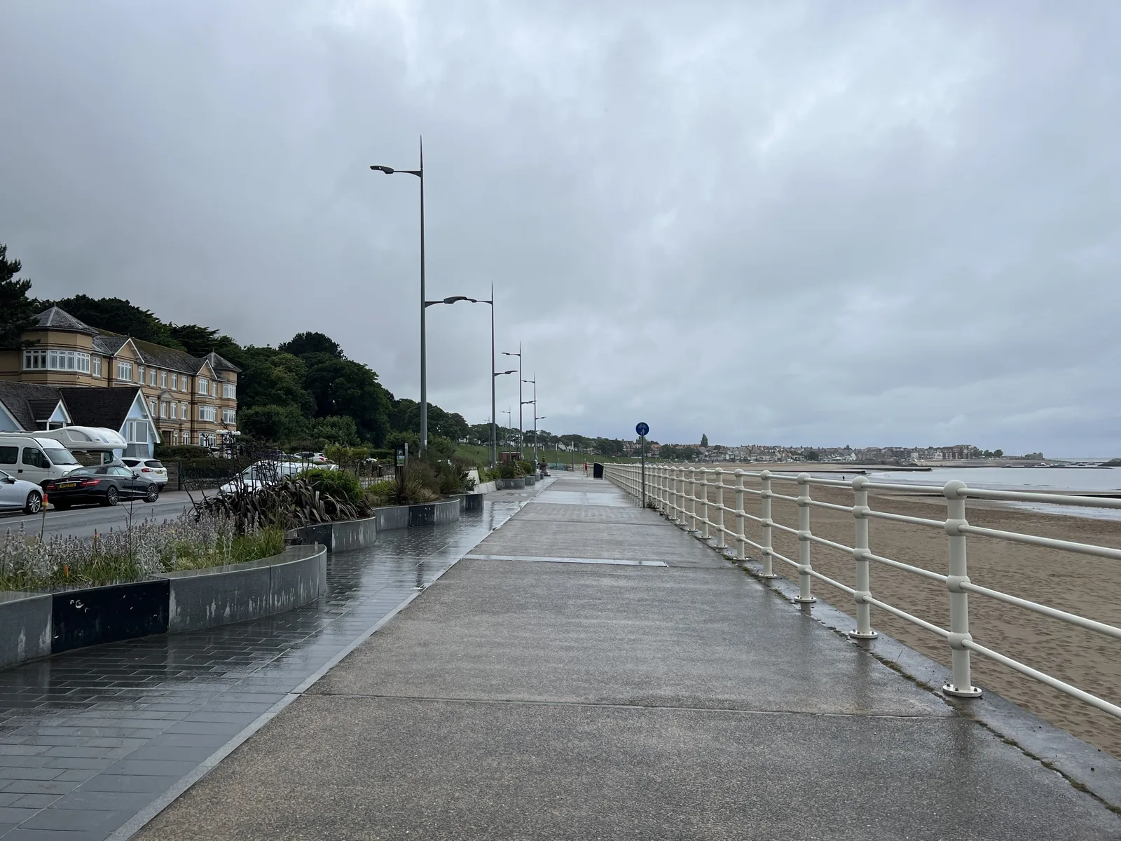
Down on the front it is a different crowd: walkers, runners and cyclists using two continuous miles of level surface, in more or less any weather. The two halves of the town see each other daily and rarely mix.
If you park on the promenade expecting shops at the top of the beach steps, you are in the wrong half. The town centre is through the underpass and up.
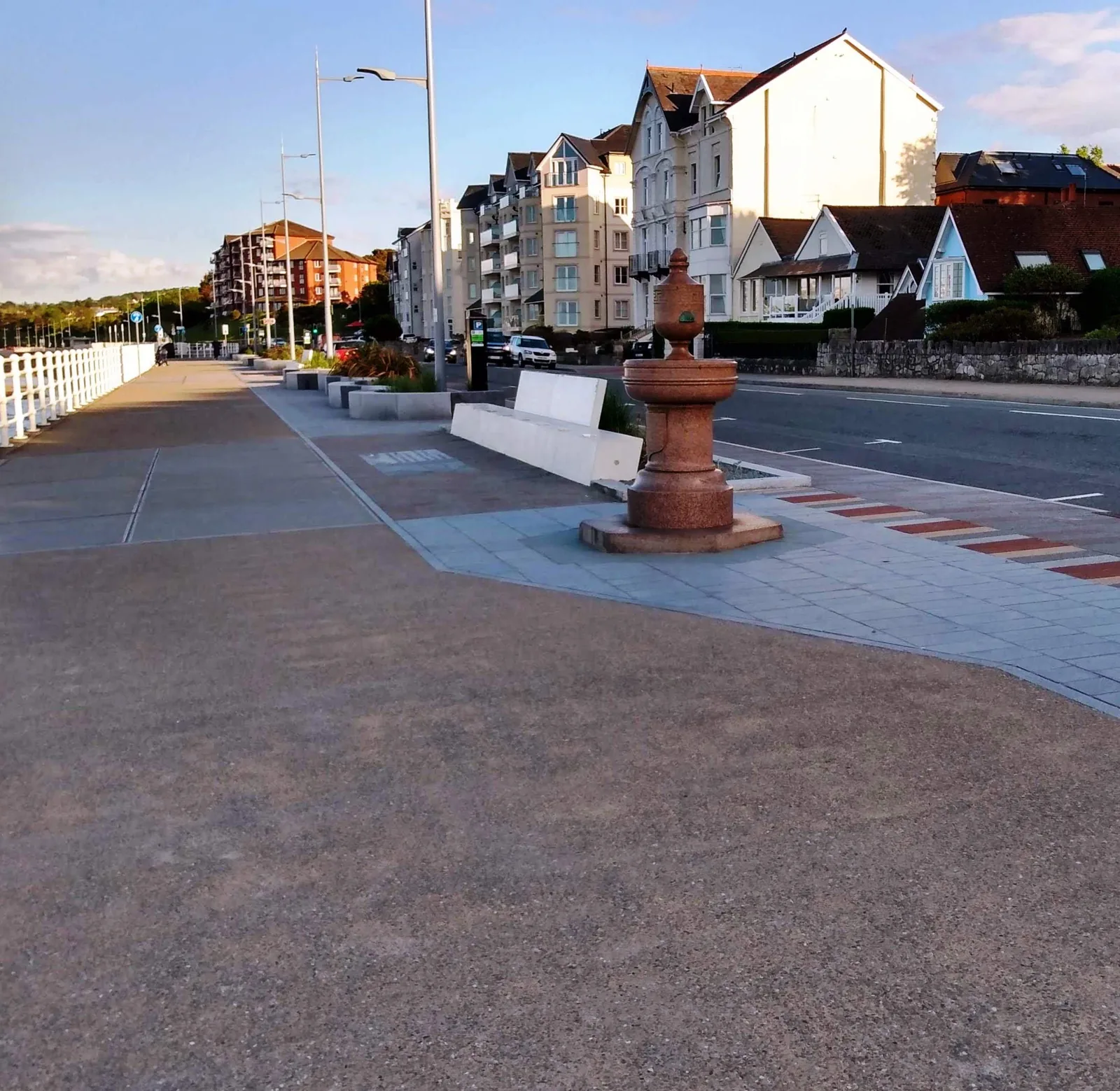
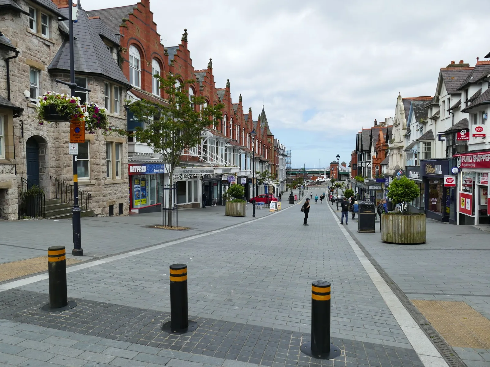
Station Road runs uphill from the station and is where the town does its own business. It was pedestrianised, and it keeps the frontages the resort was built with.
The promenade is exposed and has almost no shelter along it, which is why it belongs to people who are moving. It works year-round because it is flat and surfaced, not because it is sheltered.
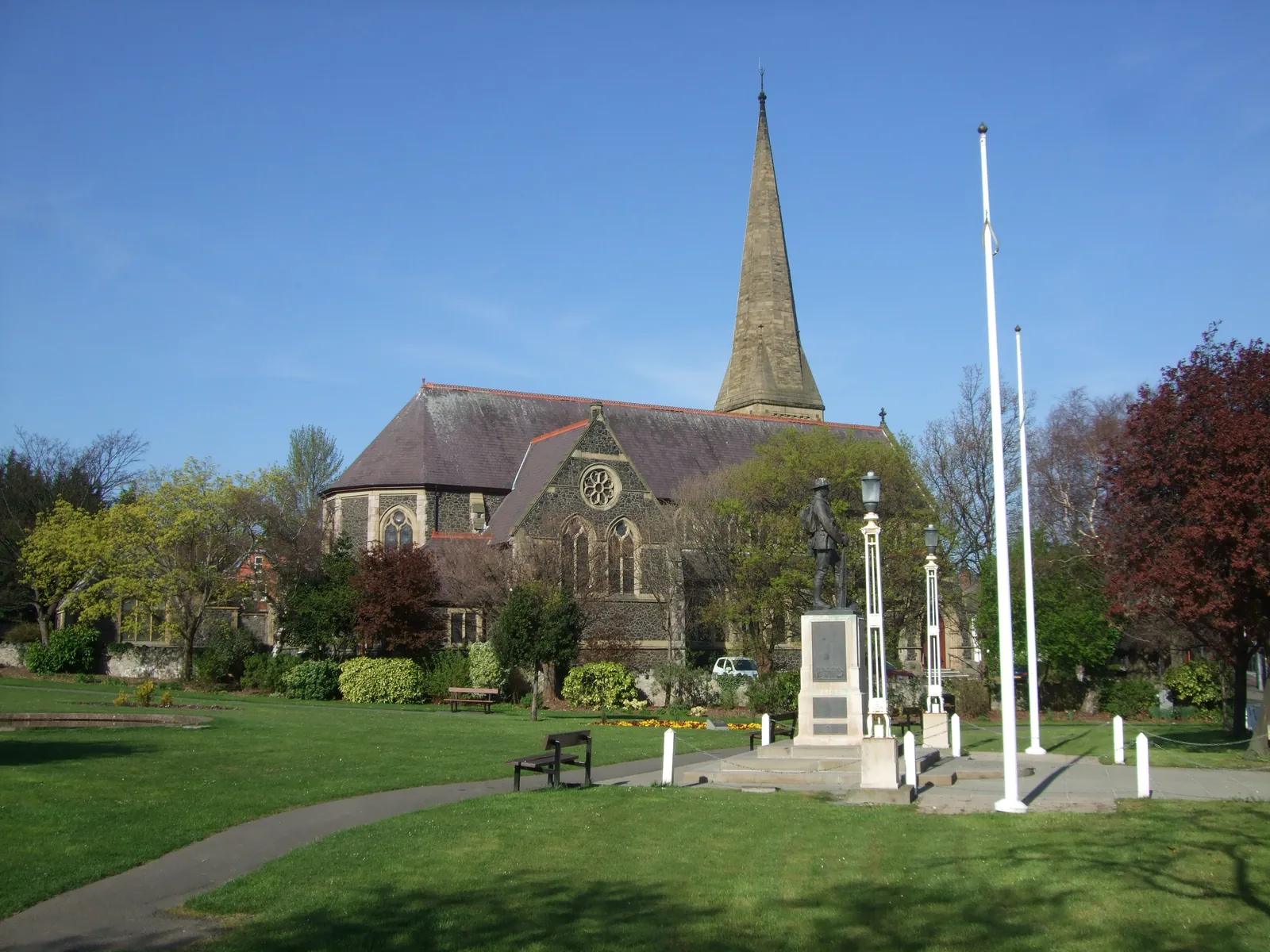
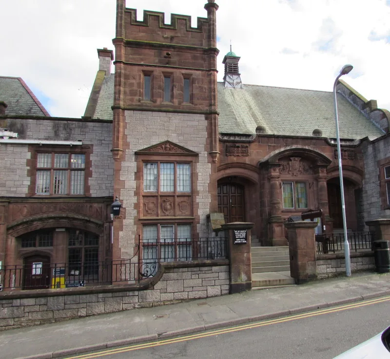
Churches, memorial gardens and civic buildings sit a street back from the shops. This is the part of a resort town that was never built for visitors at all.
Two halves
Every headline about this place for fifteen years has been about the front: the pier, the sand, the promenade. Up the hill none of that changed anything: the clock still stands where it did, the shops open, the town hall does council business. Visiting well means spending time in both halves rather than only the photographed one.
Plan your time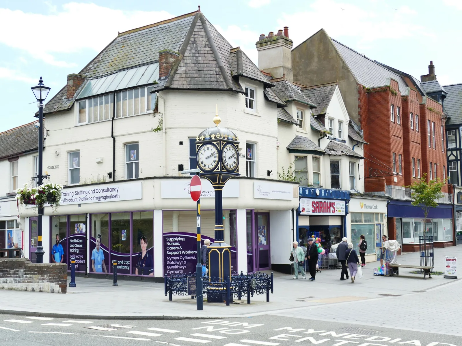
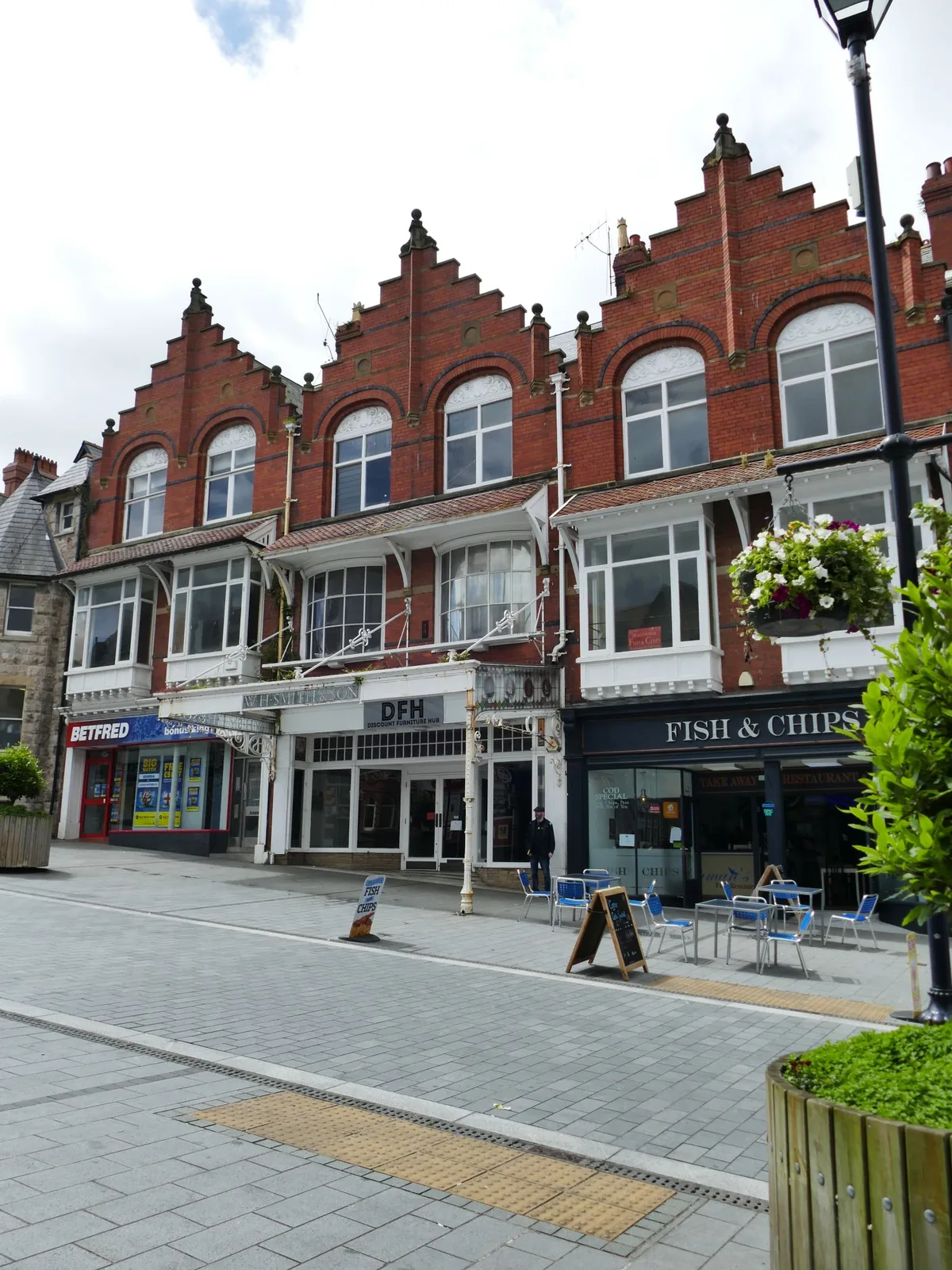
Two miles of new promenade, and a high street that never left.
Atlas of Wales
04Plan
Step-free, with lifts to both platforms. The sea is one way, the shops the other.
Three bays, original refurbished ironwork, and the whole bay behind you.
Four hundred metres of rebuilt promenade, with the beach widening as you go.
The watersports plaza, the bistro and the family beach in front of it.
Do the short walk out and back before you commit to the long one.
The widened, raised promenade phase: the fountain, the new surfacing, the Wales Coast Path waymarks.
The promenade’s western end, with boats on the sand at low water and the Little Orme beyond.
Six seats and a spring under the altar. A working chapel; go in quietly.
Return along the front, then through the underpass and up to Station Road.
Rhos jetty and the chapel in the west, the pier and Porth Eirias in the middle.
Fifty acres inland from Porth Eirias: boating lake, greens, and the stadium.
The one climb of the day, from the promenade up to Station Road and the clock.
At the top of Abergele Road. Check the programme first if you want to go in.
Keep climbing and the town runs out into woodland with four waymarked circuits.
The memorial gardens and the civic streets, then the station.
Practical
Everything you need for arriving and getting around.
Getting here
Colwyn Bay is on the North Wales Coast Line between Crewe and Holyhead, served by Transport for Wales and by Avanti West Coast. The station has two platforms, and lifts give step-free access to both.
Check current timesThe A55 North Wales Expressway runs behind the town; the A547 — Conway Road and Abergele Road — is the old coast road through the centre. Conwy County Borough Council runs pay-and-display car parks on the promenade and in the town, and publishes a Colwyn Bay car park map.
View parking detailsPractical details
Conwy County Borough Council runs pay-and-display car parks along the promenade and through the town, and one at Rhos on Sea for the far end of the bay. The seafront car park is the largest; Princes Drive and Douglas Road both have height barriers. Beyond the council’s own list there is the Bay View shopping-centre car park in the middle of town, parking at Porth Eirias and Eirias Park for the east end, and Cayley Promenade at Rhos on Sea.
Colwyn Bay car parks (Conwy County Borough Council)Events at Eirias Park and the stadium change the picture entirely. Check before an event day, and check the signs when you arrive — charges and restrictions can change.
Colwyn Bay Promenade
The seafront · largest
Google Maps (opens in a new tab)Princes Drive
By the pier · height restriction
Google Maps (opens in a new tab)Ivy Street
Town centre · by the shops
Google Maps (opens in a new tab)Douglas Road
South of the centre
Google Maps (opens in a new tab)Bay View
Bay View Road · town centre
Google Maps (opens in a new tab)Rhos on Sea
Rhos on Sea · for St Trillo’s
Google Maps (opens in a new tab)Porth Eirias
The Promenade · for Porth Eirias
Google Maps (opens in a new tab)Cayley Promenade
Rhos on Sea · on the promenade
Google Maps (opens in a new tab)Eirias Park
Abergele Road · for the park
Google Maps (opens in a new tab)The promenade is the through-route: level, hard-surfaced and continuous for over two miles, carrying the Wales Coast Path and a cycleway. Getting between the front and the town centre means an underpass and a climb.
Bus routes serve the town, but no route number, operator or frequency is confirmed for this guide. Plan door to door with the Traveline Cymru journey planner.
Unusually good along the front, and honestly difficult across it. The station is step-free with lifts to both platforms, and the promenade is level and hard-surfaced for its full length. The town centre sits above both the railway and the expressway.
Per-site accessibility is not independently confirmed for this guide; contact each venue directly if this matters to you.
Step-free station with lifts; level surfaced promenade throughout
A real gradient from the front; the woodland reserve has steps at some entrances
The dry sand is nourished — brought in and maintained as part of the coastal-defence and regeneration scheme — and the beach is tidal, with the sea drawing a long way out at low water.
No lifeguard cover is claimed here in either direction, and no award status is stated. Check the RNLI’s lifeguarded-beach finder before you swim.
Conwy operates a county-wide Dog Control Public Spaces Protection Order, and parts of this bay’s beaches fall inside it. The order has been renewed and varied more than once, and the boundaries are set out land parcel by land parcel in its own schedules.
No zone or date is stated here. The council’s own dog-control pages were unreachable when this guide was written, and the 2023 proposal for the Colwyn Bay section was sent back out for further consultation; read the current order before you travel.
Everything on the front is walkable and level from a promenade car park or the station. The one climb in the whole guide is the underpass up into the town centre.
Use Colwyn Bay as a base
Four real Atlas destinations pair with a Colwyn Bay visit; distances are straight-line from the town centre, not driving times.
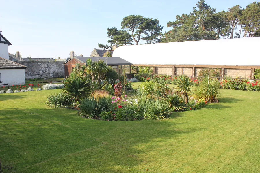
On the hillside directly above the town, running Britain’s red squirrel breeding programme, and the one place here with a view down the whole bay.
About 0.9 miles west (straight-line)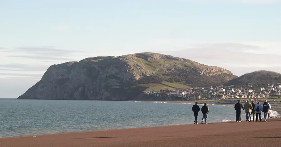
The limestone headland that closes the western end of this bay: the shape you have been walking towards along the whole promenade.
About 3.1 miles north-west (straight-line)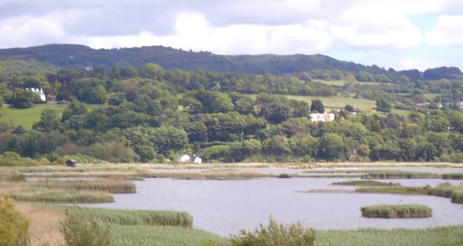
A wetland built from the spoil dug for the Conwy tunnel, with a boardwalk flat enough for a wheelchair.
About 3.5 miles west (straight-line)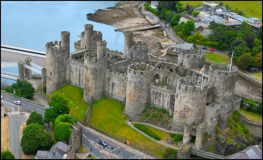
Eight towers and a complete battlement circuit above the river, three bridges below.
About 4.2 miles west (straight-line)Before you go
Three bays of pier are a stranger thing to stand on than a whole one ever was.