The village centre and information centre
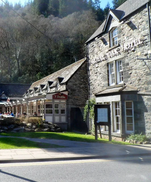
Eryri National Park’s own centre occupies the Royal Oak Stables: staffed daily, and the place to ask what the trails are like today.
Conwy · Eryri
Three rivers meet here, Telford’s iron bridge carries the A5 across, and Gwydir Forest starts at the car park.
01The village
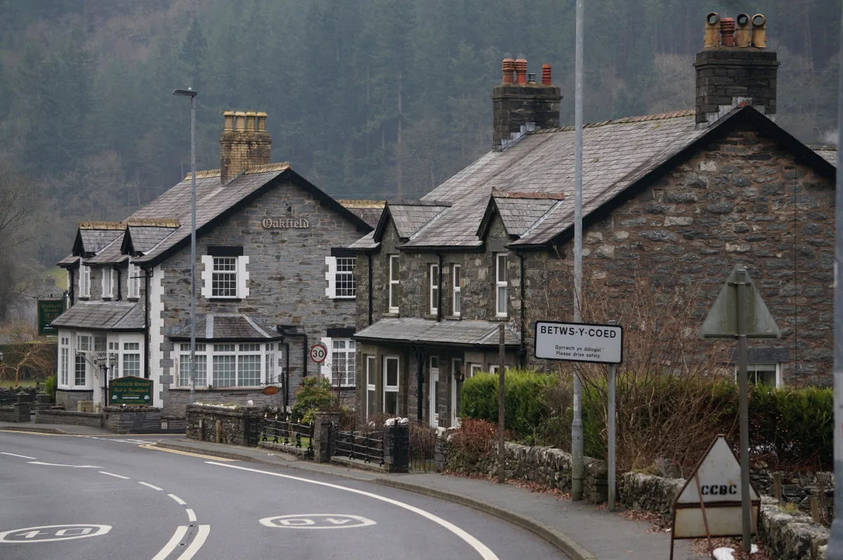
Three rivers meet at Betws-y-Coed, and the village forms a compact line along the main road. It begins at Telford’s Waterloo Bridge, followed by the station, shops, information centre and Pont-y-Pair over the Llugwy. From the car park beside Pont-y-Pair, waymarked trails lead directly into Gwydir Forest.
Three valleys funnel into one compact centre, bringing the railway, visitor information and forest trails together in a way few villages manage. You can step off the train and be walking beneath the trees within minutes, without needing to move a car.
Character
About 500 people live here, with pubs, cafés and independent shops serving residents as well as visitors. Beneath its role as one of Eryri’s main arrival points, Betws-y-Coed remains a lived-in village.
Pace
The station, information centre, shops and Pont-y-Pair sit within about 300 metres. Beyond the centre, Gwydir’s waymarked loops range from 0.7 miles to more than four: from a half-hour stroll to a two- or three-hour circuit.
Landscape
The Conwy, Llugwy and Lledr meet around the village, while Gwydir Forest rises above the valley on almost every side.
Best for
Best for a first day in Eryri, arriving by train, or anyone who wants a proper woodland walk without first committing to a summit.
02Discover
Eryri National Park’s own centre occupies the Royal Oak Stables: staffed daily, and the place to ask what the trails are like today.
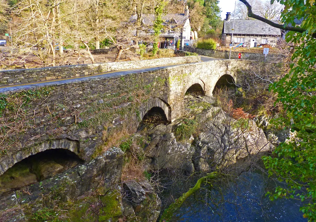
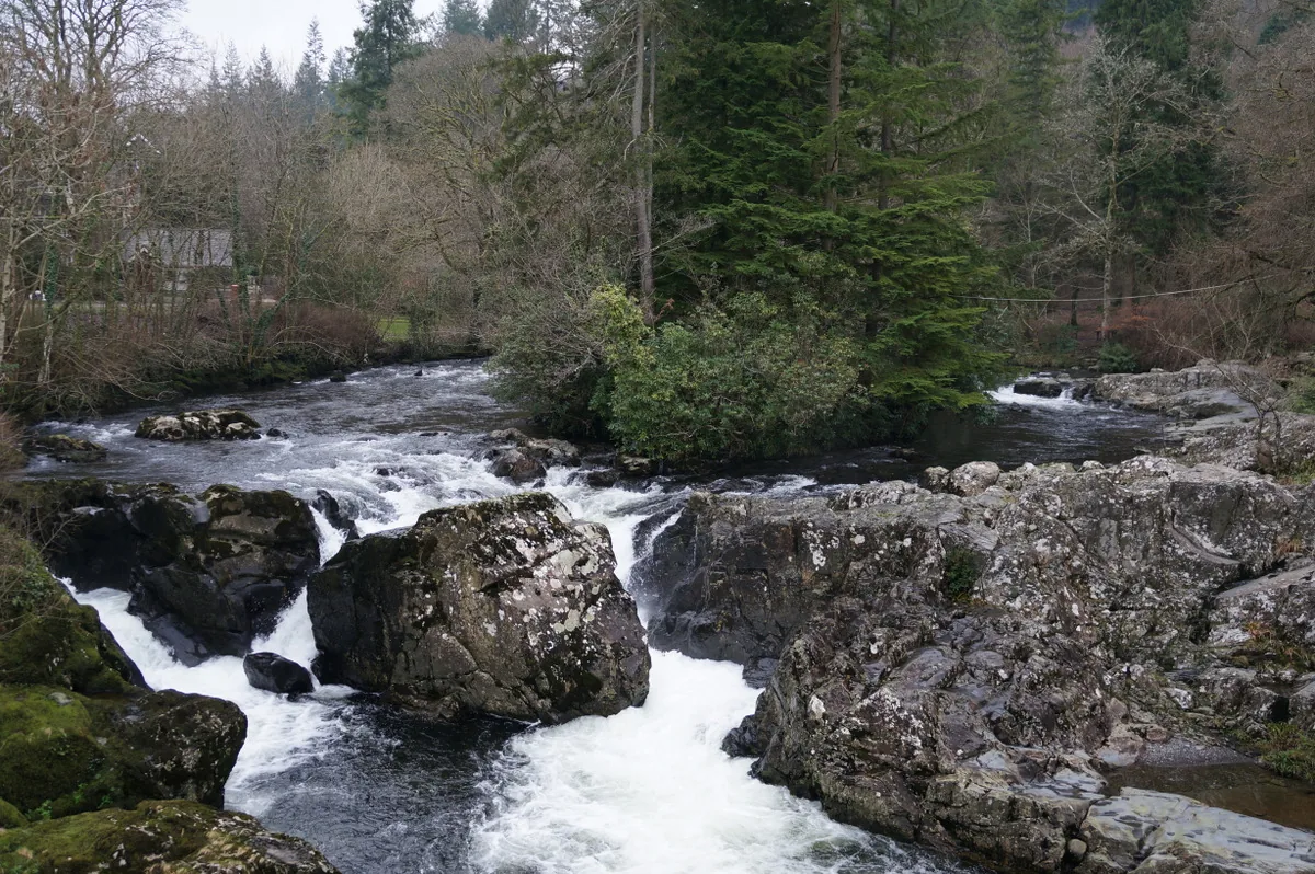
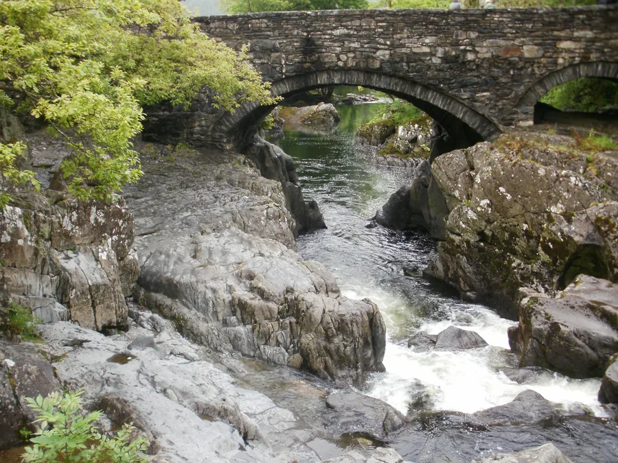
The old stone bridge crosses the Afon Llugwy mid-village, water running fast over rock beneath it. The forest trails begin beside it.
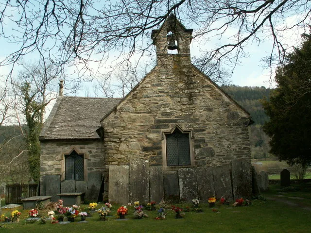
Grade II* listed, early-14th-century. Parish church for five centuries, redundant since 2000, still consecrated and kept open by its Friends.
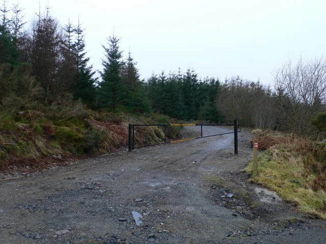
Four waymarked routes leave the village, from a 0.7-mile riverside loop to a 4.3-mile climb. You choose the length at the car park.
A compact village strung along the A5 between two river bridges, with the forest trailhead beside Pont-y-Pair.
No verified image yet
Pont-y-Pair
At the north end of the village on the A5. The pay-and-display car park and forest trailhead sit beside it.
Five destinations, from a ten-minute look at a bridge to an hour’s walk up the river. Four sit within a few hundred metres of Pont-y-Pair; the Miners’ Bridge is a mile west, reached on foot.
The old stone bridge in the middle of the village, with the Llugwy working over bare rock beneath it. The car park and the forest trails start here.
Check current trail conditions (opens in a new tab)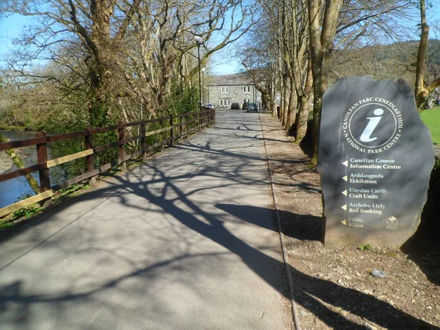
Maps, weather and trail advice in the old stables yard on the main road: the practical first stop before you commit to a forest route.
Check current opening times (opens in a new tab)The village’s medieval church, set back from the river. It gave up parish duties to St Mary’s on the main road, but remains consecrated and cared for.
Check access arrangements (opens in a new tab)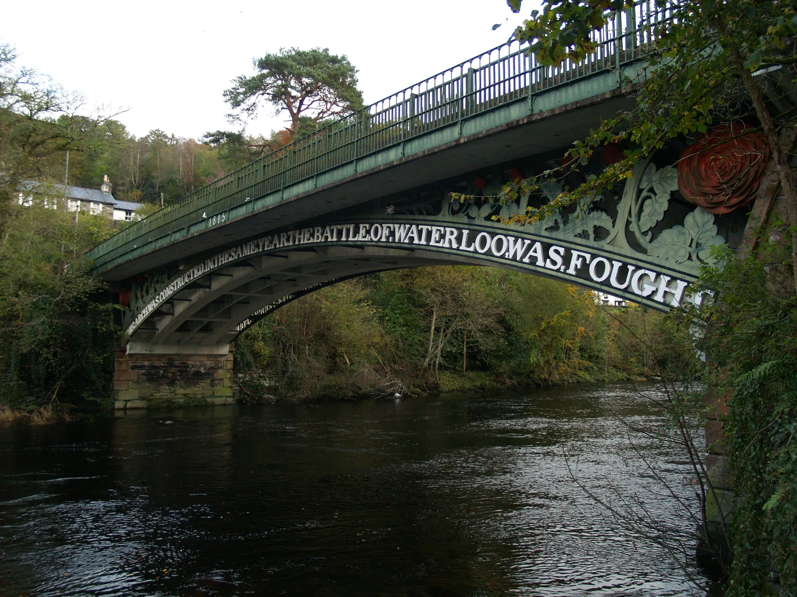
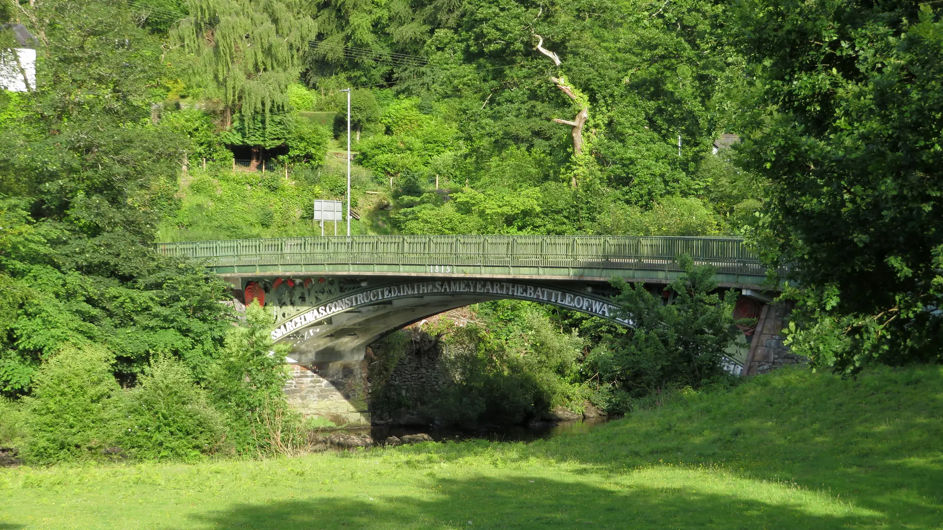
Telford’s iron arch still carries the A5 across the Conwy at the edge of the village: built for the mail coaches, and still doing the job.
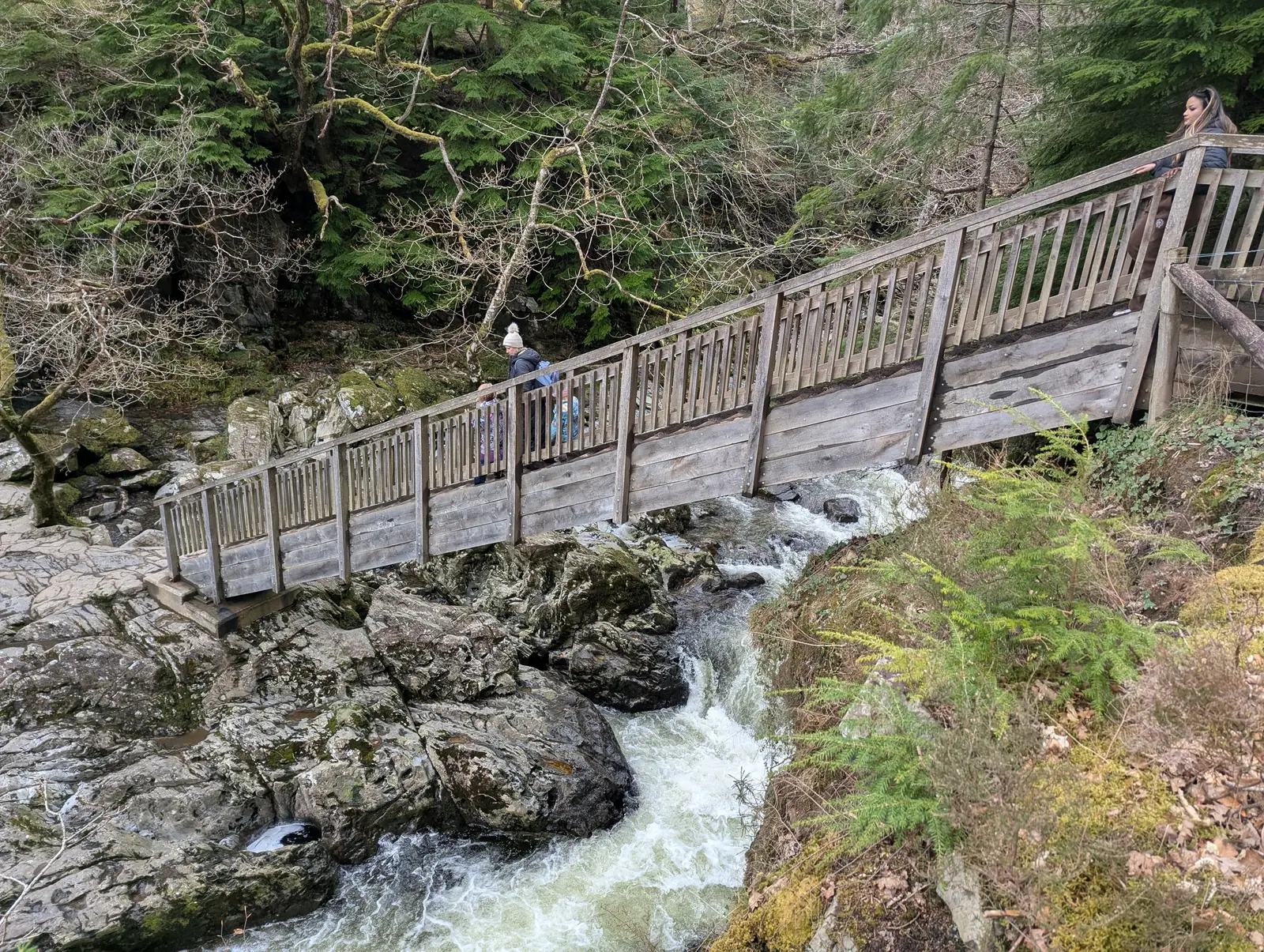
A steeply angled timber footbridge over the Llugwy, a mile upriver from the village. Walk to it along the river rather than driving the A5.
Check current trail conditions (opens in a new tab)03Story
Betws-y-Coed means “prayer-house in the woods.” What turned a name in a forest into the eastern door of a national park was, in order: a road, a railway, and a forestry estate.
Secondary sources describe a Celtic Christian monastery here in the late sixth century, a tradition rather than an archaeological record. St Michael’s Old Church is the oldest surviving trace.
The London–Holyhead road reached the Conwy here, crossing on the cast-iron Waterloo Bridge of 1815–16. The village became a mail-coach stop between Corwen and Capel Curig.
The Conwy Valley line was extended from Llanrwst and the village grew around it. St Mary’s Church, consecrated in 1873, took over as parish church.
Natural Resources Wales now manages Gwydir Forest around the village, and Betws-y-Coed is one of fourteen areas in Eryri with its own conservation-area appraisal.
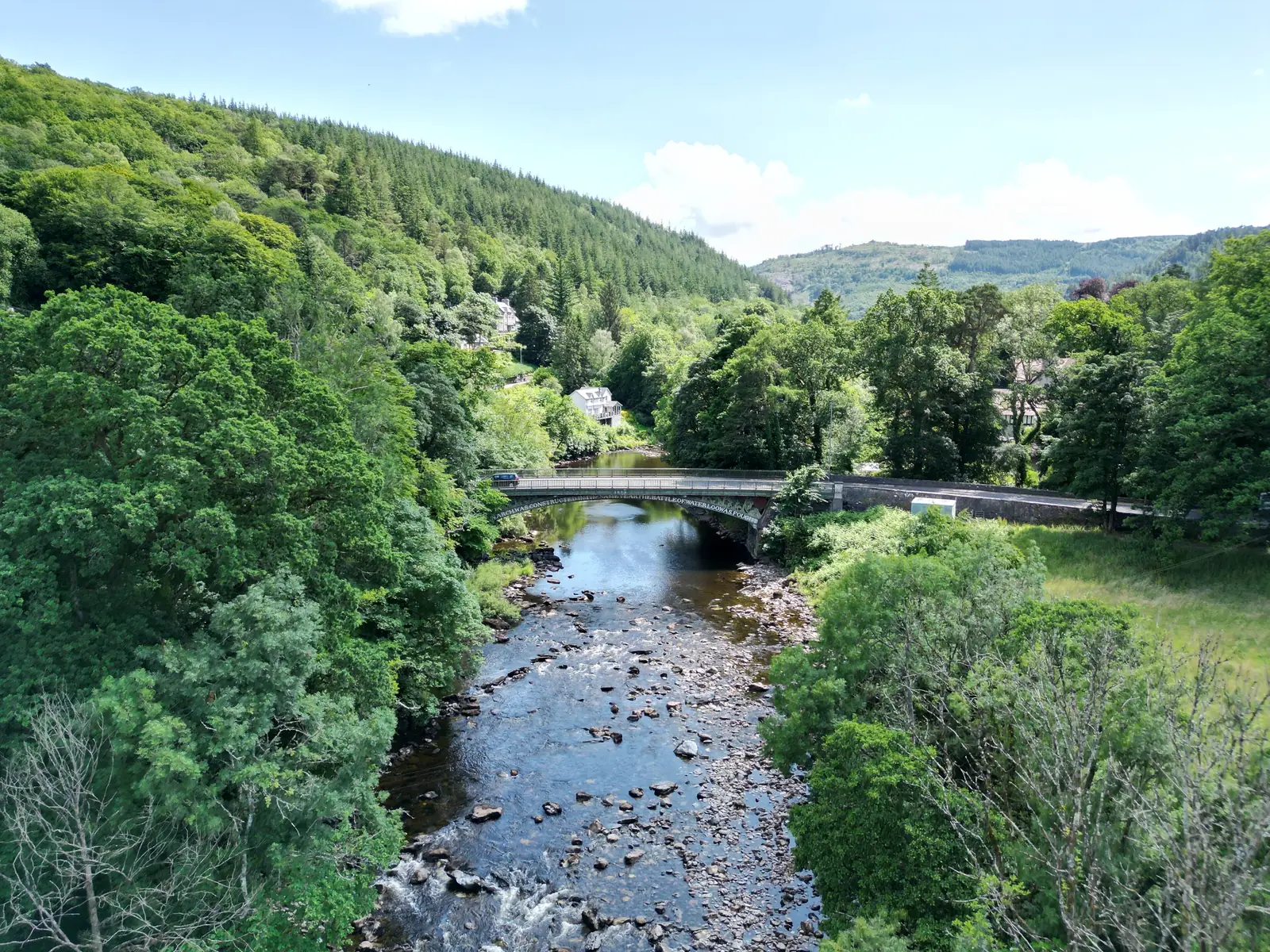
The road came first, then the railway. The village grew around both, and never stopped being a place people pass through on the way somewhere higher.
Atlas of Wales
Betws-y-Coed is small, but its main road carries more cafés, pubs and outdoor shops than most villages of its size.
They serve walkers, drivers and rail travellers, while remaining part of a real resident village.
Arrive before 9:30am and parking is easier, though no one’s yet on hand to ask about trail conditions.
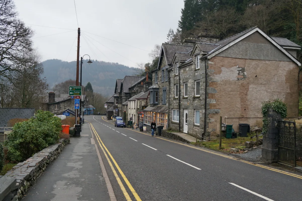
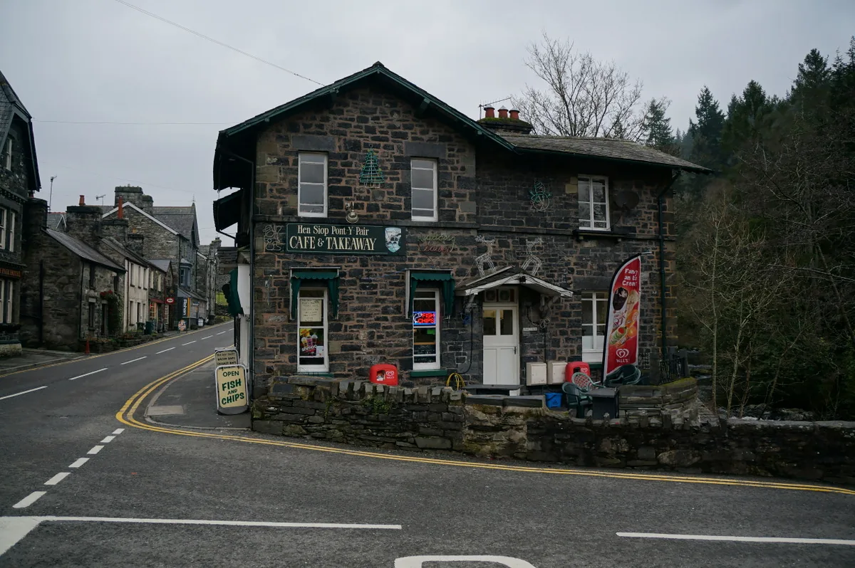
They take in walkers arriving wet, and send them out early.
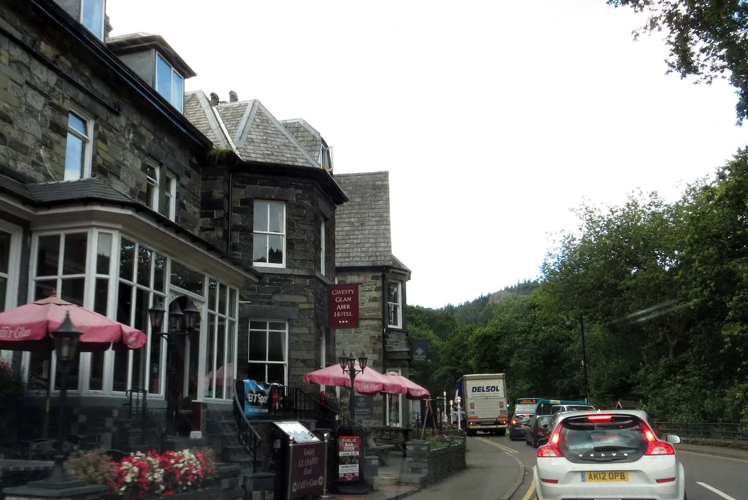
Several attached to hotels: a legacy of coaching, then rail.
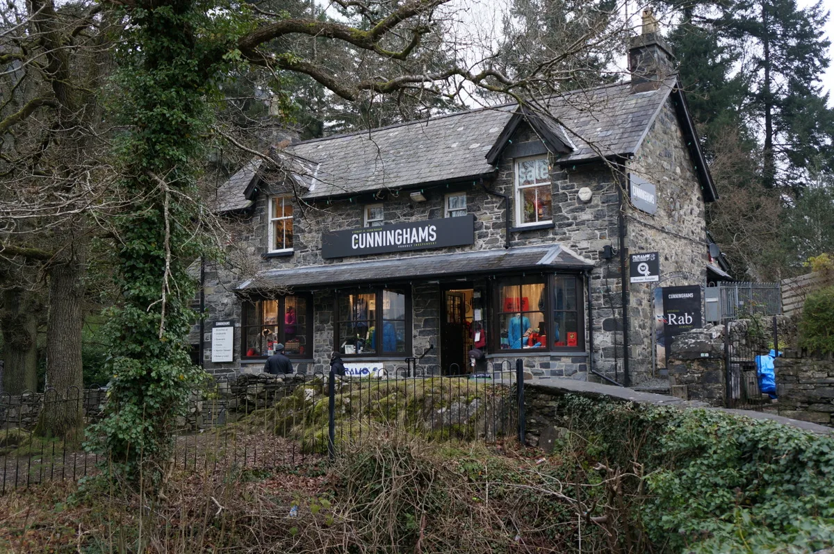
Boots, waterproofs and maps, by the car park.
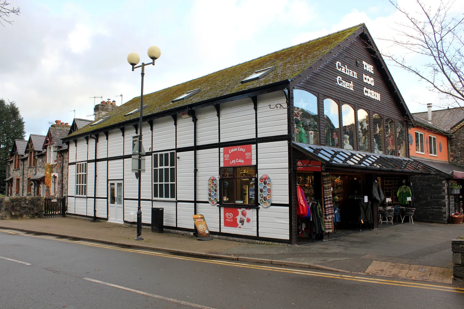
Slate, wool and wood: almost none of it a chain.
A slower pace
The centre takes an afternoon on foot. The forest, the river and the lake above the village are what people come back for.
Plan your time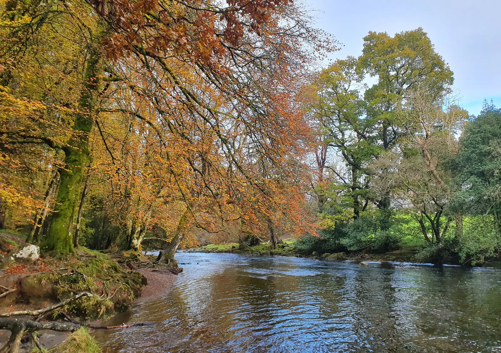
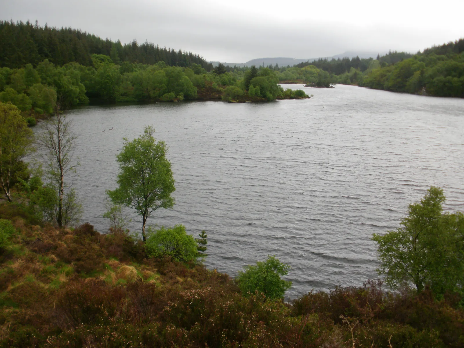
The river is loud enough to hear from the pavement.
Atlas of Wales
04Plan
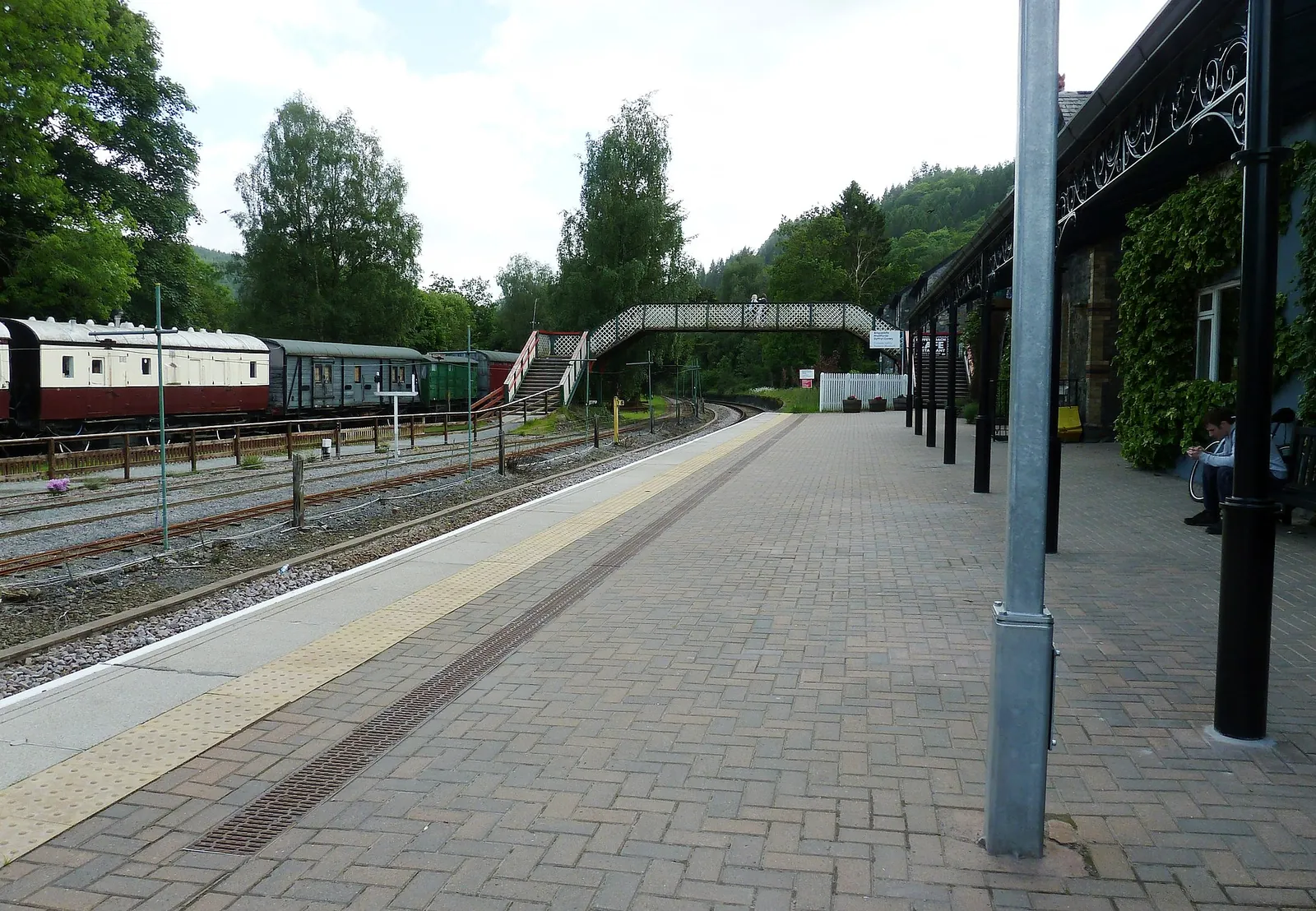
Pont-y-Pair car park, or step off the train.
Maps and current trail advice, from 9:30am.
Cross the Llugwy on the old stone bridge.
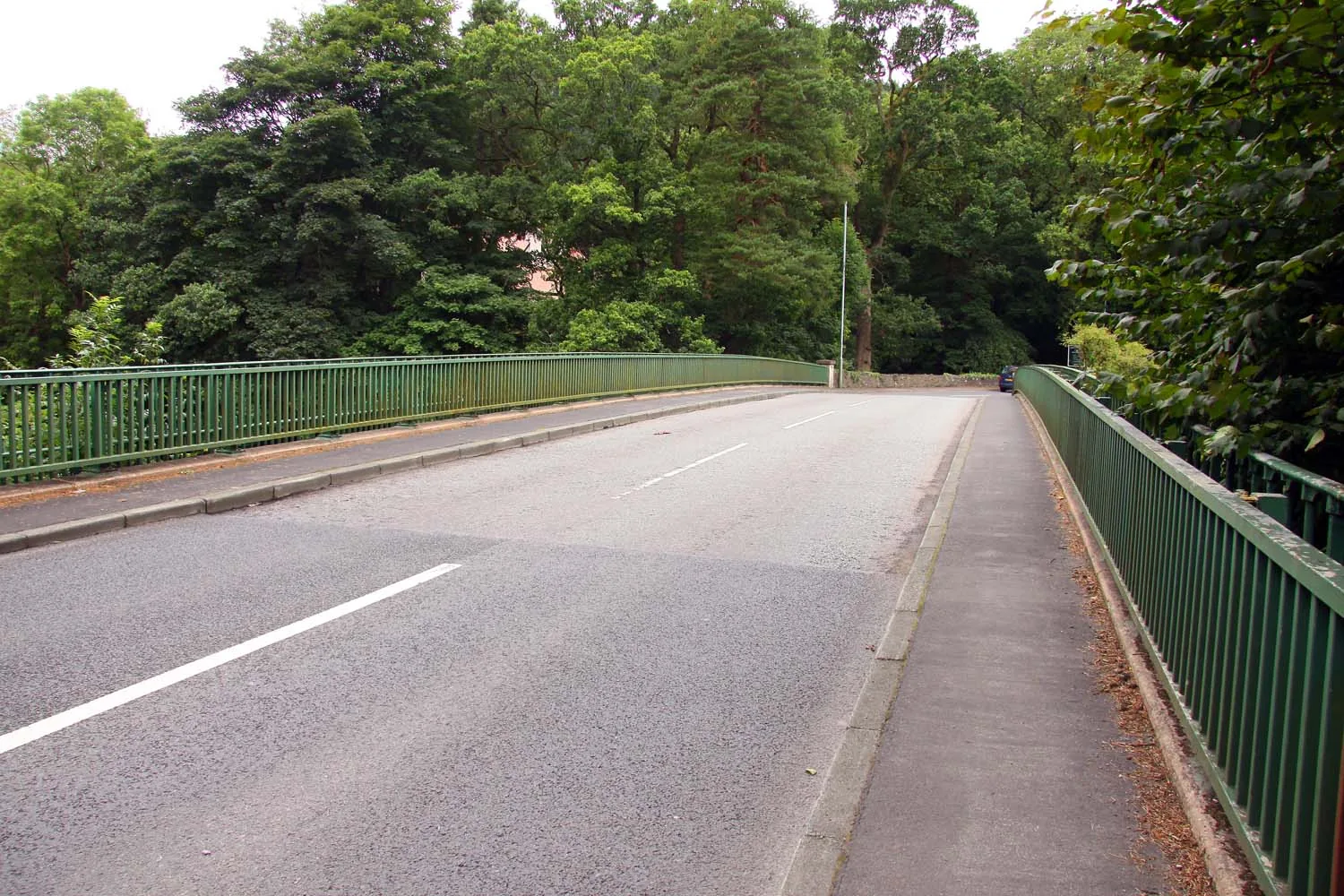
Telford’s 1815 iron arch, still carrying the A5.
The village’s oldest building, beside the Conwy.
The car park is also the trailhead.
Ask what the forest paths are like today.
Coed Tan Dinas, 0.7 mi, or the 1.5 mi riverside route.
Food and coffee on the main road.
Waterloo Bridge and St Michael’s Old Church.
Parking is easiest before the day-visitors arrive.
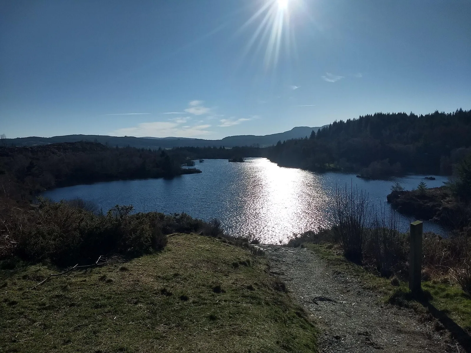
Llyn Elsi or Llyn Parc: 3.9–4.3 mi, strenuous.
The main road, mid-afternoon. Last stop on foot.
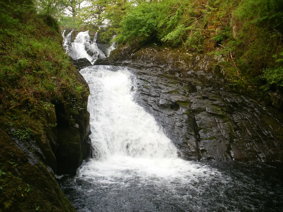
About 2 km north-west on the A5.
Car or bus from here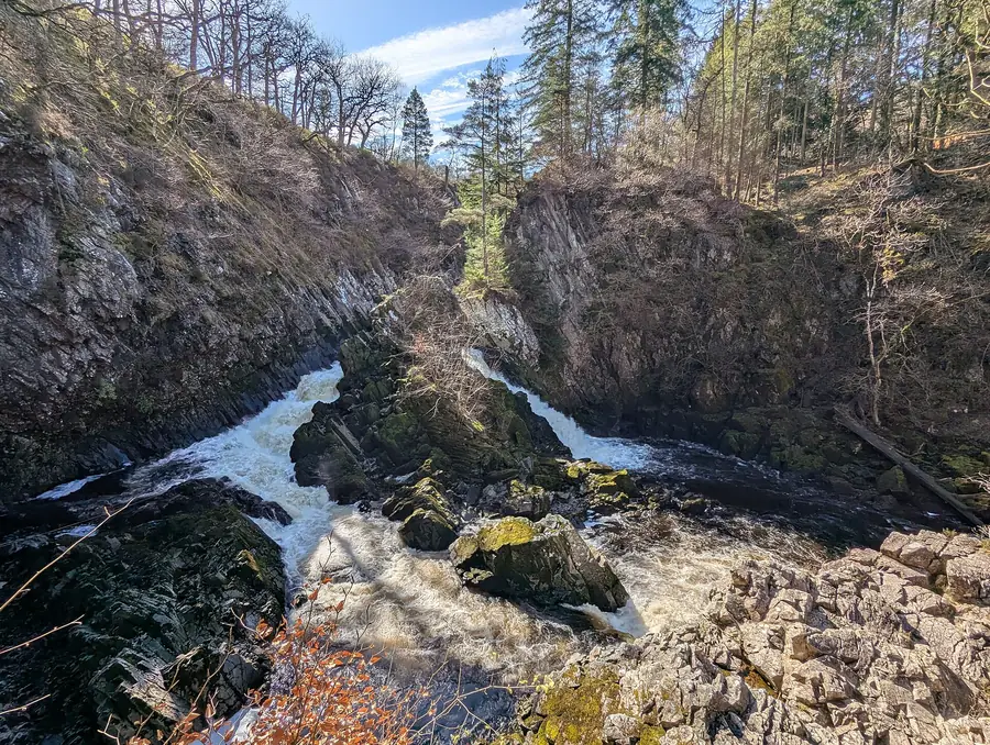
About 3.5 km south-east, the other end of the valley.
Practical
Everything you need for arriving and getting around.
Getting here
The A5 crosses the Conwy on Waterloo Bridge, with pay-and-display parking in the centre.
View parking detailsService 19 (Llew Jones) runs the Conwy valley to Llandudno, with separate weekday and Sunday timetables. The TrawsCymru T10 also passes on the A5. Check the current service before travelling.
Llew Jones service 19 timetablesPractical details
Four car parks serve the village: one council, two run by the national park, one behind St Mary’s Church. All of them charge. Pont-y-Pair has a height-restriction barrier, and the two national-park car parks take card only.
Eryri National Park parking and tariffs Check the council listing for Pont-y-PairCharges and restrictions can change. Check the signs when you arrive.
Pont-y-Pair
By the bridge · forest trailhead
Google Maps (opens in a new tab)Cae Llan
Village centre · short stay
Google Maps (opens in a new tab)Betws-y-Coed Long Stay
By the station · all-day parking
Google Maps (opens in a new tab)St Mary’s Church
South end · by the church
Google Maps (opens in a new tab)Cae Llan, LL24 0AE · Pont y Pair, LL24 0BW
50p
Seasonal
Disabled access + baby changing at both. None at the station.
Confirmed step-free access at the station and both public toilets.
Village street gradients and surfaces aren’t independently sourced; do not assume step-free throughout.
Disabled access at both Cae Llan and Pont y Pair
Step-free access via ramps
7 at Pont-y-Pair · 4 at the station
The most straightforward option with children starts at the car park you’ve already used.
Check with the operatorCoed Tan Dinas · 0.7 miles, graded easy, from the car park
Zip World Fforest · short drive, booking required
Dogs are welcome on most surrounding forest trails.
No village-centre-specific dog rule was found; check with individual venues.
Natural Resources Wales welcomes dogs on most Gwydir Forest trails, kept under control near livestock.
Everything in this guide except the two waterfalls is walkable from the centre.
Use Betws-y-Coed as a base
The village is the practical centre of this corner of Eryri. These four are already charted on the Atlas, all within a short drive of the car park you started from.
The Llugwy dropping through a wooded gorge: the waterfall most people mean when they say they are going to Betws-y-Coed.
About 2.0 miles west (straight-line)
The other fall on the other river, at the southern end of the valley: quieter, and a natural pairing on one day.
About 2.1 miles south-east (straight-line)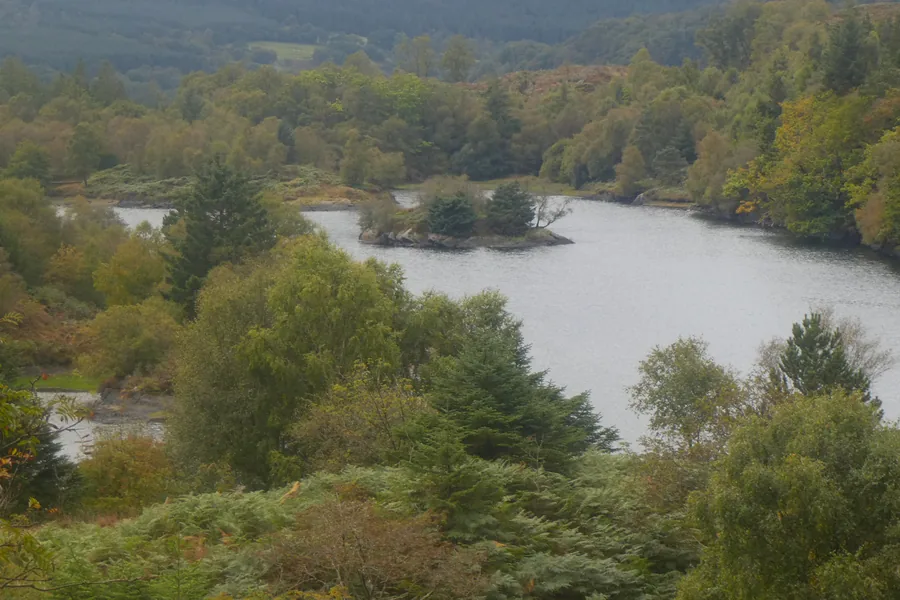
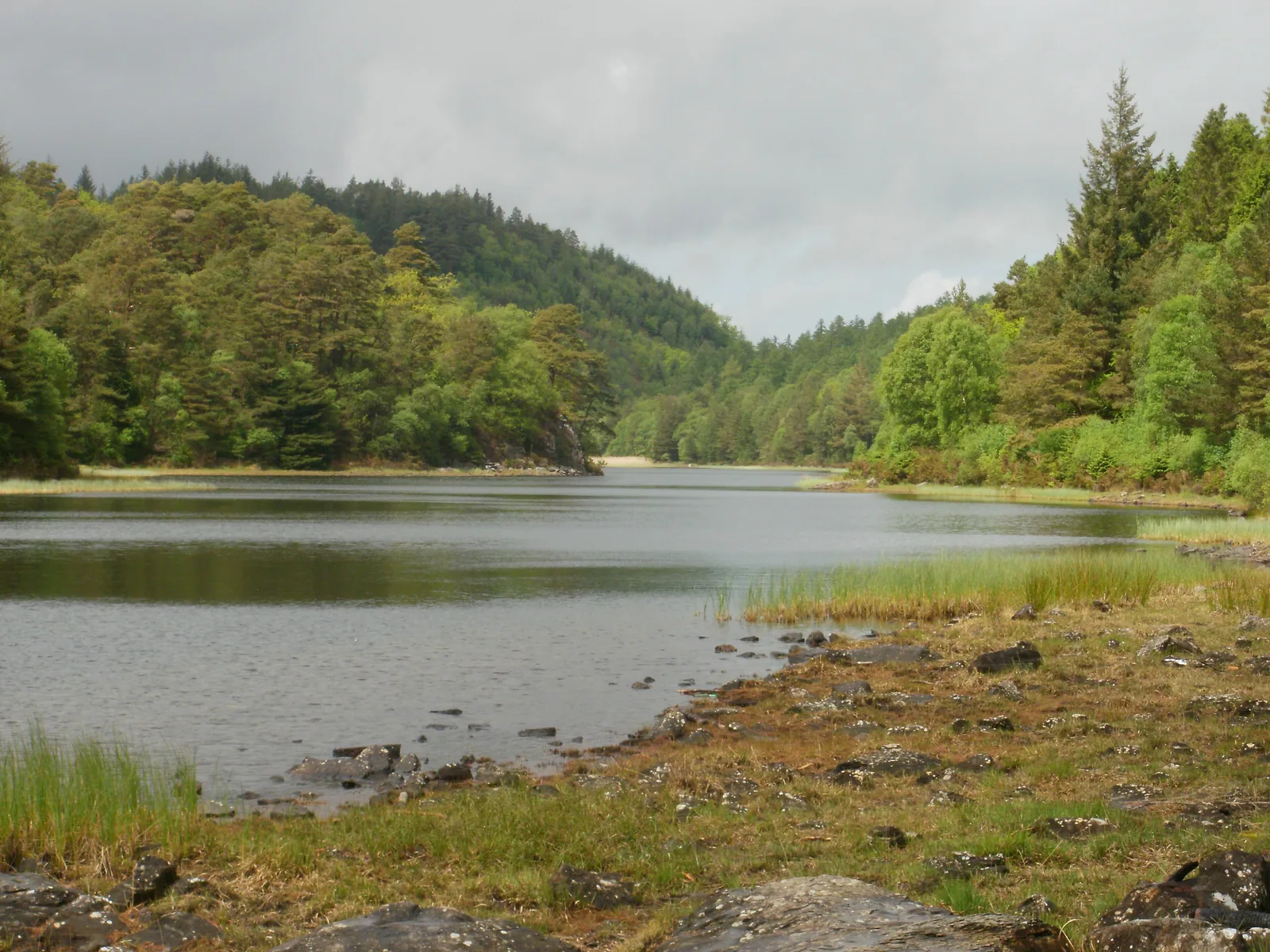
A reservoir in Gwydir Forest reachable only on foot: two lakes dammed into one in 1914.
About 1.1 miles south-west (straight-line)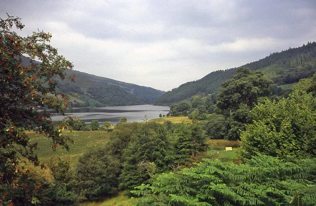
Two lakes in the hills above the valley, reached through the same Gwydir Forest the village trails run into.
About 4.0 miles north-west (straight-line)Before you go
Park once, walk the bridges and the forest paths, then drive out to whatever the weather suits.