Get the gate time right and the rest of the day looks after itself.
CHECK FIRST · OPENING
The gates close fifteen minutes before the published time, and from October to mid‑March that means 3.45pm, less than the four hours the lake circuit takes. The site also closes on 25 and 26 December and on a few named event days. Check the current times before you set off.
Time needed
Half a day · a full day for both lakes
Best time
Summer for heather on the moor · early in the day in winter
Opening, entry & booking
Seasonal gate hours · no booking
Access & difficulty
Surfaced paths and forestry tracks · easy to moderate
Parking & start point
Pay and display at the visitor centre · Alwen charges separately
Getting there
B4501 from Cerrigydrudion or Nantglyn · nearest station Rhyl
Toilets, food & facilities
Caffi Brenig and toilets at the visitor centre
Dogs
Short lead, and out of the water
Plan with confidence.Detailed information on arrival, access, facilities, restrictions and local conditions.
Opening, entry & booking
Summer
29 March to 4 September, 8.00am–6.00pm, with the gates closing at 5.45pm.
Winter
Early October to mid‑March, 9.00am–4.00pm, with the gates closing at 3.45pm.
Spring & autumn
8.00am–5.00pm, gates closing at 4.45pm.
Closed
25 and 26 December, and on named event days when a rally or a gravel event takes over the site.
Overnight
The gates are locked overnight.
Booking
No booking is needed to walk, cycle or use the visitor centre.
Pay and display at the visitor centre: £1 an hour, £4 for four hours in peak season, £6 all day peak or £2 all day off‑peak, £40 for the year. Peak season runs April to October. Open the visitor centre car park in Google Maps.
The B4501 climbs onto the moor from Cerrigydrudion or Nantglyn. Alwen is 11 miles south-west of Denbigh, a mile past the Llyn Brenig car park.
Postcode warning
LL21 9TT covers a wide area and will not take you directly to the Alwen entrance. Use the grid references.
By rail
The nearest mainline station is Rhyl.
By bus
No operator timetable confirming a service frequency to the reservoir was found for this guide. Treat it as a drive-to place, and plan door to door with the Traveline Cymru journey planner if you need a car-free route.
At the Llyn Brenig visitor centre, with level access.
Food
Caffi Brenig, above the water at the visitor centre. Roughly 9.00am–3.00pm through winter and 8.00am–5.00pm at the height of summer, with hot food stopping an hour before closing.
Also at the centre
Gift shop, fishing shop, osprey exhibition, cycle hub with bike hire, boat hire, maps, an adventure playground and picnic sites.
At Alwen
Picnic benches along the trails, and no staff on site. The facilities are back at Llyn Brenig, a mile away.
Level access to the visitor centre, cafe and toilets, with disabled parking immediately outside.
Alwen
Blue badge and standard parking available.
On the water
Accessible Wheelyboats can be hired; not suitable for electric wheelchairs.
The trails
Surfaced paths and forestry tracks around both lakes. No accessible-route grading was published for the trails themselves, so treat their gradients as unrated. The archaeology trail is different ground again: easy going, but over fields, with stiles and gates.
Dogs on a short lead and out of the water at all times, with waste bagged and taken away. This is a drinking-water reservoir, and the out-of-the-water clause is a real restriction rather than a courtesy.
Livestock
The main lake circuit passes through sheep pasture.
Easy, and well marked, but over fields rather than surfaced track.
Start
Its own car park on the north-east side of the lake, at the end of the tarmac road (SH 98325741). Not the visitor centre; you have to drive round.
What it visits
A Bronze Age ring cairn, the Boncyn Arian burial mound, seven medieval summer houses, a platform cairn, the enclosure at Hen Ddinbych, a kerb cairn, a second burial cairn and the farmstead at Hafotty Siôn Llwyd.
Llyn Brenig has the visitor centre, the cafe, the fishing and the trail network. Alwen, a mile down the same road, has a cash-only barrier, no staff, and a curved concrete dam with an Italianate valve tower on it. The Lakes Link crosses the moor between them in under two miles, and the difference lands the moment you arrive.
Underneath both is the older layer. Around fifty archaeological sites were excavated ahead of the Brenig water in the nineteen-seventies, and what survived was rebuilt into a trail on the north-east shore: burial mounds, a ring cairn, medieval summer houses and a sheep enclosure, all reachable on an easy two and a half hour walk.
A dam, a tower, and a ring of posts older than both.
Should this shape your day?
A landscape of distance rather than of one view, behind a gate that shuts early in winter.
Good fit for
walkers and cyclists wanting real distance on surfaced paths
anyone drawn to prehistory they can walk to rather than queue for
families using the centre, the playground and the short dam walk
anglers; the lake is stocked with rainbow and some brown trout
people who like a working landscape more than a scenic one
Think twice if
you are arriving late on a winter afternoon
you want one dramatic viewpoint rather than a long walk
you are relying on mobile signal
you were planning to pay by card at Alwen
you expect facilities at the Alwen car park
Before you go
the gates shut fifteen minutes before the published time
two car parks, two separate charges, one cash only
Walk the archaeology trail from its own car park on the north-east shore, then drive round for the cafe, or take the Lakes Link over the moor and see how different the second reservoir feels.
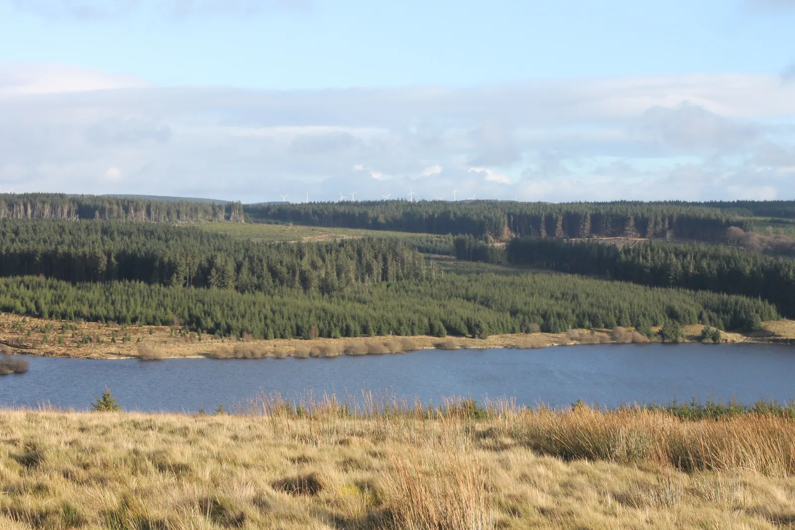
Mynydd Hiraethog: the moor both reservoirs sit in.
Two lakes, seven scenes.
See the shape of the visit before you choose your distance.
01 The climb onto the moor
The B4501 gains height until the enclosed fields give out.
02 Arriving at the centre
Pay and display, and the lake open below the cafe balcony.
03 Choosing the distance
An hour round the dam, or most of a day round both lakes.
04 The dam
The engineering that made the lake, walked along the top.
05 The far shore
Past the end of the tarmac, an information board and a stile.
06 The monuments
A ring cairn, burial mounds, and seven roofs above a stream.
07 Alwen
Older water, no cafe, and a machine that wants exact coins.
Seen along the way.
Centre, dam, cairn, farmstead and the second lake: the visit before you make it.
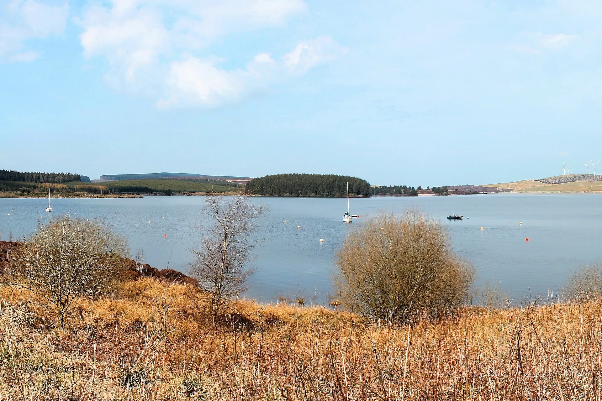
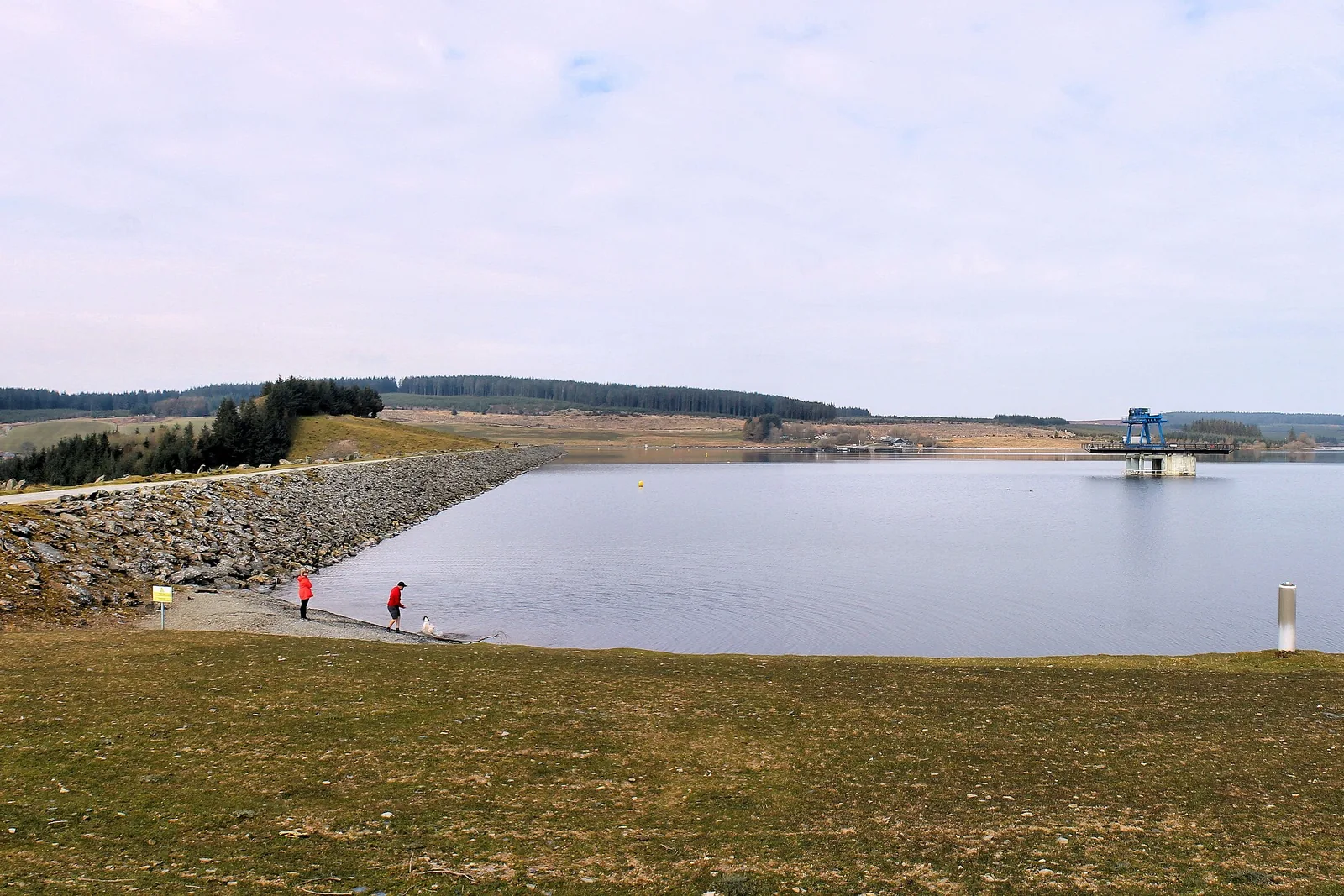
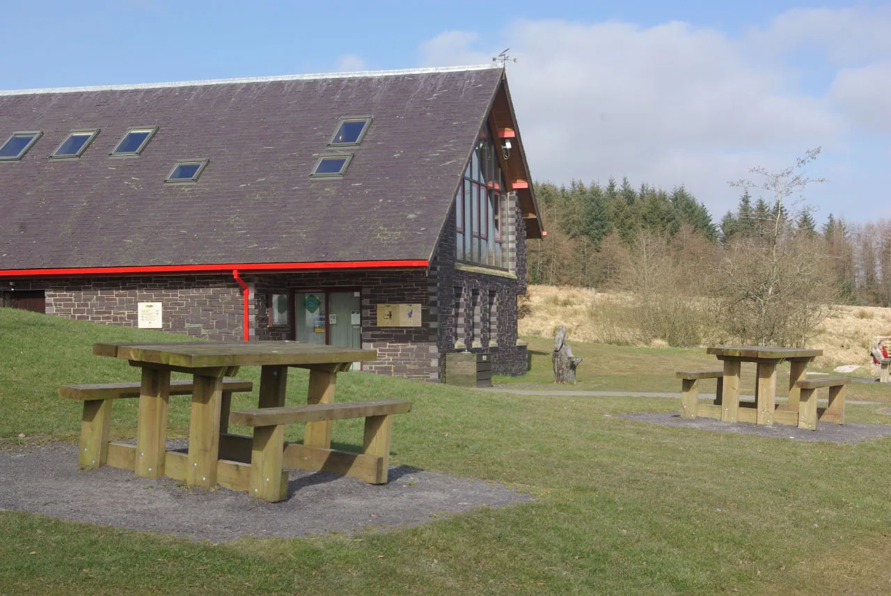
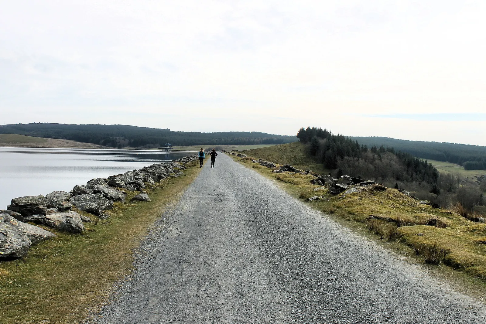
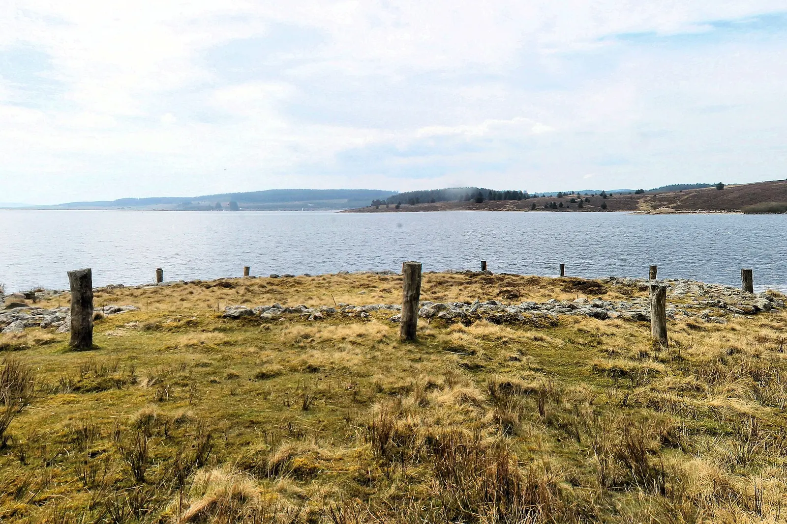
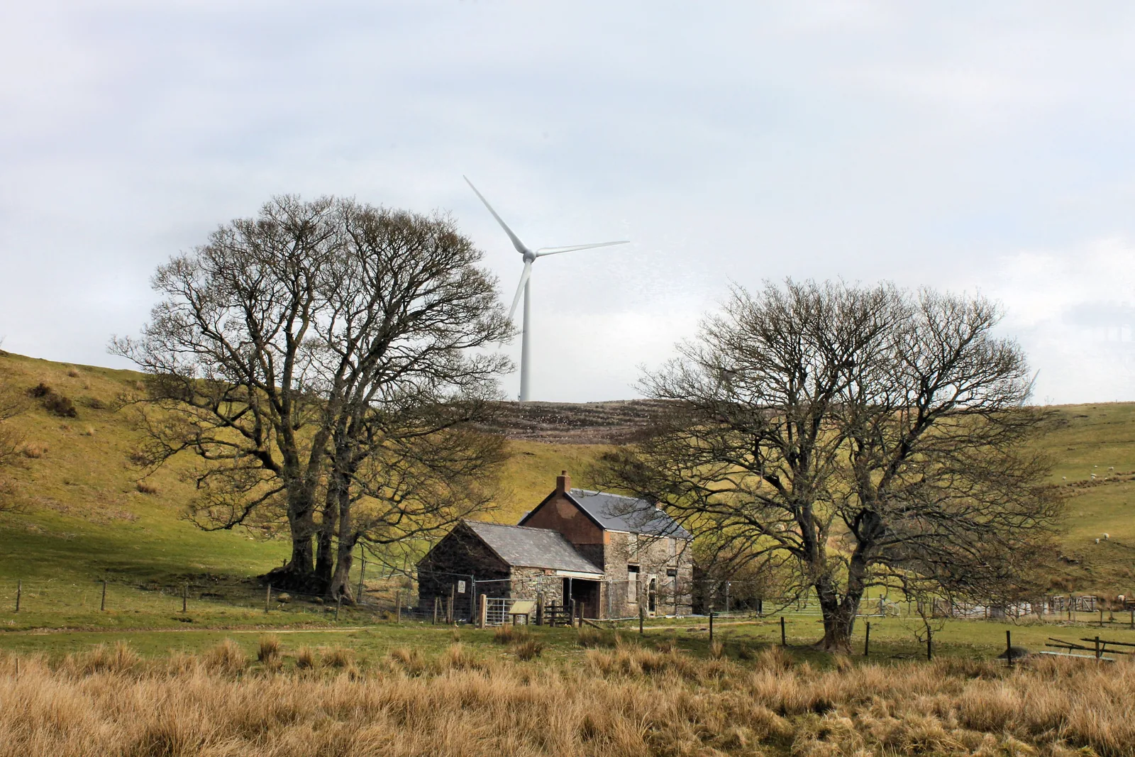
The dam, and the draw-off tower out in the waterThe visitor centre · the only staffed point on the siteSurfaced track along the dam crestThe reconstructed ring cairn, a stone ring inside a circle of postsHafotty Siôn Llwyd, the last building on the trailAlwen, a mile down the same road
The parts people remember
A place of distance rather than of one big view, and it takes a while to notice how old it is.
01
The hedges run out
The road climbs steadily out of the valley and then the field walls stop coming. What is left is grass, conifer and sky, and the sense of being a good deal higher than you were twenty minutes ago.
02
The moment Eryri appears
For most of the walk the moor is its own horizon, low and brown and closed in. Then the trail reaches its high point and the entire western skyline turns to mountains.
03
Standing on Boncyn Arian
You climb a low mound to see the lake better, and realise the mound is the thing you came to see. Three more burial mounds sit on the far shore, one of them stranded on its own small island since the water rose.
04
Seven roofs on the Nant Criafolen
The rectangles in the grass on either side of the stream were summer houses. People walked cattle and sheep up here in spring and walked them back down in autumn, and kept doing it for two hundred years.
05
Two lakes, an hour apart on foot
The Lakes Link crosses the moor in under two miles and the difference lands immediately. One shore has a cafe and a boat pontoon. The other has a shut-looking tower and the sound of the wind.
You come up for a walk round a reservoir and leave having crossed four thousand years of people doing more or less the same thing: coming up here in the summer, and going back down.
Hiraethog Archive
Old stories, carefully told.
Four field notes on what this moor has been: burial ground, sheep run, summer pasture, and water for a city across the border.
Most of this is excavated, documented history. One thread is a recorded legend, and it is labelled as one.
Field notes
Four entries. Open one to read the note.
Deep time Fact
The excavation before the water
Field note I · filed under archaeology
Before the valley was flooded, around fifty archaeological sites were excavated, and the ones that survived were rebuilt into a trail you can now walk.
What is known
The excavations found possible seasonal settlement by Mesolithic and Neolithic hunting parties between about 6500 and 3000 BC. Between about 2000 and 1500 BC the area became the focus for a complex of burial and ritual monuments. Boncyn Arian’s central grave dates from around 2100–1500 BC, with six cremations dug into the mound later, two of them in pottery urns. The platform cairn further along dates from 1950–1650 BC and covered the burial of an adult and a child.
What the water took
Filling the reservoir submerged a Bronze Age round barrow and several medieval and later farmsteads. Three burial mounds survive across the water from Boncyn Arian; one of them now sits on a small island near the western shore, cut off when the level rose.
What to notice there
The ring cairn was built as a stone ring inside a circle of posts, and the posts have been put back. A cremation was placed at its centre later, and two more at the side.
Medieval ground Folklore + fact
Hen Ddinbych
Field note II · filed under the sheep economy
Old Denbigh: a big rectangular earthwork on open moor, with nothing of Denbigh anywhere near it.
What is known
The banks form a rectangular enclosure around 90 metres long and 80 metres wide externally. It may date from the thirteenth century and was built to overwinter sheep. Inside are the stone foundations of a long rectangular building and several platforms where sheep shelters once stood.
The recorded legend
Beyond the enclosure, past a stile, stands Maen Cleddau, the Swords Stone. It is a large glacial boulder with a broken fragment which, according to legend, was sliced off by a giant’s sword. That is tradition rather than history, and the archaeological record treats it as such.
What to notice there
An information board overlooks the site, which helps: from ground level the banks read as low ridges in the grass until you have the plan in your head.
The farming year Fact
The hafotai on the Nant Criafolen
Field note III · filed under transhumance
Seven small rectangular huts sit on either side of a stream, built for a way of farming that moved house twice a year.
What is known
The seven summer houses, or hafotai, were built in the fifteenth or sixteenth centuries, probably by farmers who brought sheep and cattle up to graze the high moor through the summer. In winter people and animals retreated down to the valley home farm, the hendre.
What came after
By the eighteenth century there were several small permanent farmsteads on this ground instead, including Hafotty Siôn Llwyd. That house was rebuilt later, and the date is cut into one of its window lintels.
What to notice there
The huts are small and low, and they are on both banks; the stream ran through the settlement rather than beside it.
Engineering Fact
Alwen’s Birkenhead water
Field note IV · filed under the drowned valley
The older of the two reservoirs was built for the Corporation of Birkenhead, and it drowned three named farms to do it.
What is known
Alwen and its dam were built in the early twentieth century to provide water for the port of Birkenhead. The dam is a curved structure of concrete blocks with an Italianate valve tower, alongside a rendered brick filter house. Filling the reservoir inundated the farmsteads Ty-isaf, Creigiau’r-bleddiau and Hafod-y-llan-uchaf.
What isn’t settled
Sources disagree on exactly when the work finished — the published dates range across five years — so this guide gives the period rather than a year. The reservoir is now managed for recreation by Natural Resources Wales in partnership with Welsh Water.
What to notice there
The build left its own village behind: a terrace of six brick workers’ houses survives, along with the remains of barrack housing. A possible prehistoric stone or hut circle and a Bronze Age spearhead were found during the construction.
Don’t let the day end at one pin.
Four more places, all of them down off the moor in the Conwy valley.