Almost everything here follows from one fact: you cannot drive to the water.
CHECK FIRST · ACCESS
There is no road to Llyn Elsi. The only official route is Natural Resources Wales’ waymarked trail, 3.9 miles round and graded Strenuous, and it starts on the forest road behind St Mary’s Church, not at Pont y Pair car park, where the other three Gwydir trails begin. Read the trail details from the forest manager.
Time needed
Half a morning · 3.9 miles round
Best time
Daylight hours · allow for the descent too
Opening, entry & booking
Open access · no booking needed
Access & difficulty
Strenuous · a steep forest ascent, on foot only
Parking & start point
Pont y Pair car park, charged · trail starts behind St Mary’s Church
Getting there
A5 into Betws-y-Coed · car park grid ref SH 791 567
Toilets, food & facilities
Both in the village · nothing at the lake
Dogs
On a lead 1 March to 31 July on open access land
Plan with confidence.Detailed information on arrival, access, facilities, restrictions and local conditions.
Opening, entry & booking
The forest
Gwydir Forest Park is open access. The forest manager publishes no gate, no opening hour and no admission charge for the trails themselves; the cost of the day is the village car park.
Booking
None is needed to walk any of the waymarked trails.
Guides
Printed walking guides for the forest are sold at the Eryri National Park Information Centre in the village and at the outdoor shop.
Pont y Pair car park, in the middle of the village at the junction of the A5 and the B5106, over the narrow bridge. It is operated by Conwy County Borough Council: 54 spaces, 7 of them disabled bays, and a height barrier; check your vehicle fits before driving through.
Tariff
Council-published: £2 for 1 hour, £3 for 2, £5 for 4, £8.50 for 24 hours, £4 overnight (6pm–8am). Check the current tariff on the council listing before you travel. Allow four hours or more; this is a half-morning walk, not an hour.
ON ARRIVAL
Do not look for the Llyn Elsi waymark here. Walk back across the village to St Mary’s Church: the trail begins on the forest road behind it, and climbs from there.
Grid reference
SH 791 567 for the car park. what3words stirs.desks.regret.
Postcode warning
LL24 0BL covers a wide area and will not put you at a specific point. Use the grid reference.
At the lake
There is no parking of any kind at Llyn Elsi, and no vehicle access to the shore.
The A5 runs straight through Betws-y-Coed; the B5106 turns north for Trefriw from the same junction as the car park.
Car-free
The one genuine advantage of this walk is that it starts inside the village, so no onward transport is needed once you are there. No operator timetable was checked for this guide, so no service or frequency is stated here; plan the journey to the village door to door with the Traveline Cymru journey planner.
Toilets, food & facilities
Toilets
Public toilets at Pont y Pair car park, managed by Conwy County Borough Council. There is a charge to use them, and they are the last ones before the climb.
Food and drink
In the village. Nothing is published at the lake; carry water and anything you want to eat.
On the trail
Natural Resources Wales notes benches and perches on the steep ascent, and several more benches around the lake itself. There is a picnic site in the forest.
Shelter
None at the water. The forest gives cover on the way up; the lake shore is open.
The forest manager grades the Llyn Elsi trail Strenuous and describes a steep ascent. No accessible or step-free route to the lake is published, and there is no shorter alternative.
Underfoot
Forest road on the lower climb, then waymarked woodland path, then a circuit of the shore.
Easier alternatives nearby
If the grade is the problem, the same forest offers Coed Tan Dinas (0.7 miles, Easy) and the Afon Llugwy Riverside trail (1.5 miles, Moderate), both from Pont y Pair car park. Neither reaches Llyn Elsi.
The forest manager publishes no dog policy specific to this site. What does apply is the general code: on open access land, dogs must be on a lead between 1 March and 31 July. Outside that window, keep the dog in sight and close enough to come back on command.
Nesting birds
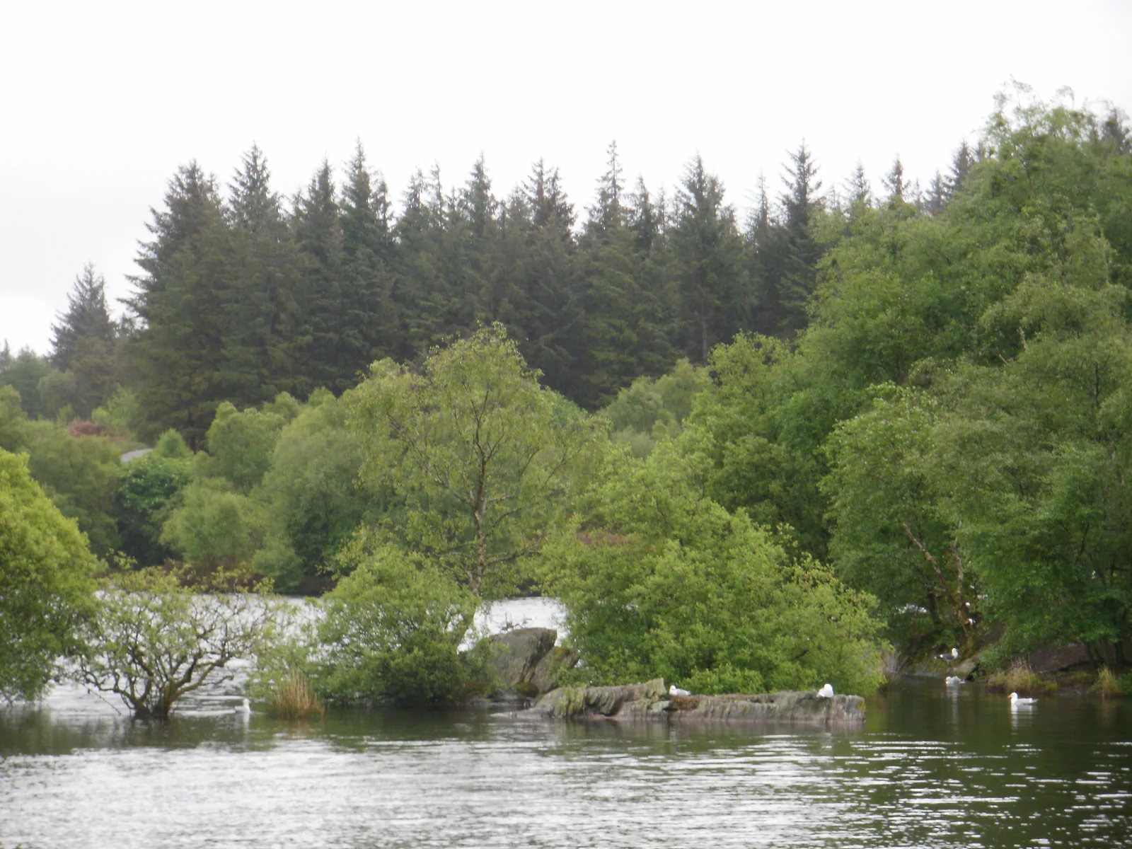
The island in the lake is used by nesting gulls and geese, which is one more reason the instruction to stay on the waymarked trail is worth taking seriously.
Natural Resources Wales asks visitors to keep to the waymarked routes because the forest holds unprotected drops and old buildings. That warning is the mining past made into a present-day instruction.
Fires
No fires and no barbecues anywhere in the countryside here. High risk of wildfire.
Staffing
There is no one on site. The forest is unstaffed.
Conditions
A steep woodland path in a wet part of Wales: expect mud and greasy roots after rain, and give yourself daylight for the descent.
Lead and zinc were worked across this forest, chiefly between 1850 and 1919 but on a small scale from the early seventeenth century. Parc, Hafna, Llanrwst, Cyffty, Pandora and Aberllyn were the principal mines. None of them is at Llyn Elsi, but the forest floor between here and Llyn Parc carries the remains.
The practical consequence
Unprotected drops and old buildings are exactly what the forest manager warns about. Shafts and adits do not announce themselves under bracken. Keep to the waymarks, and keep children and dogs on the path with you.
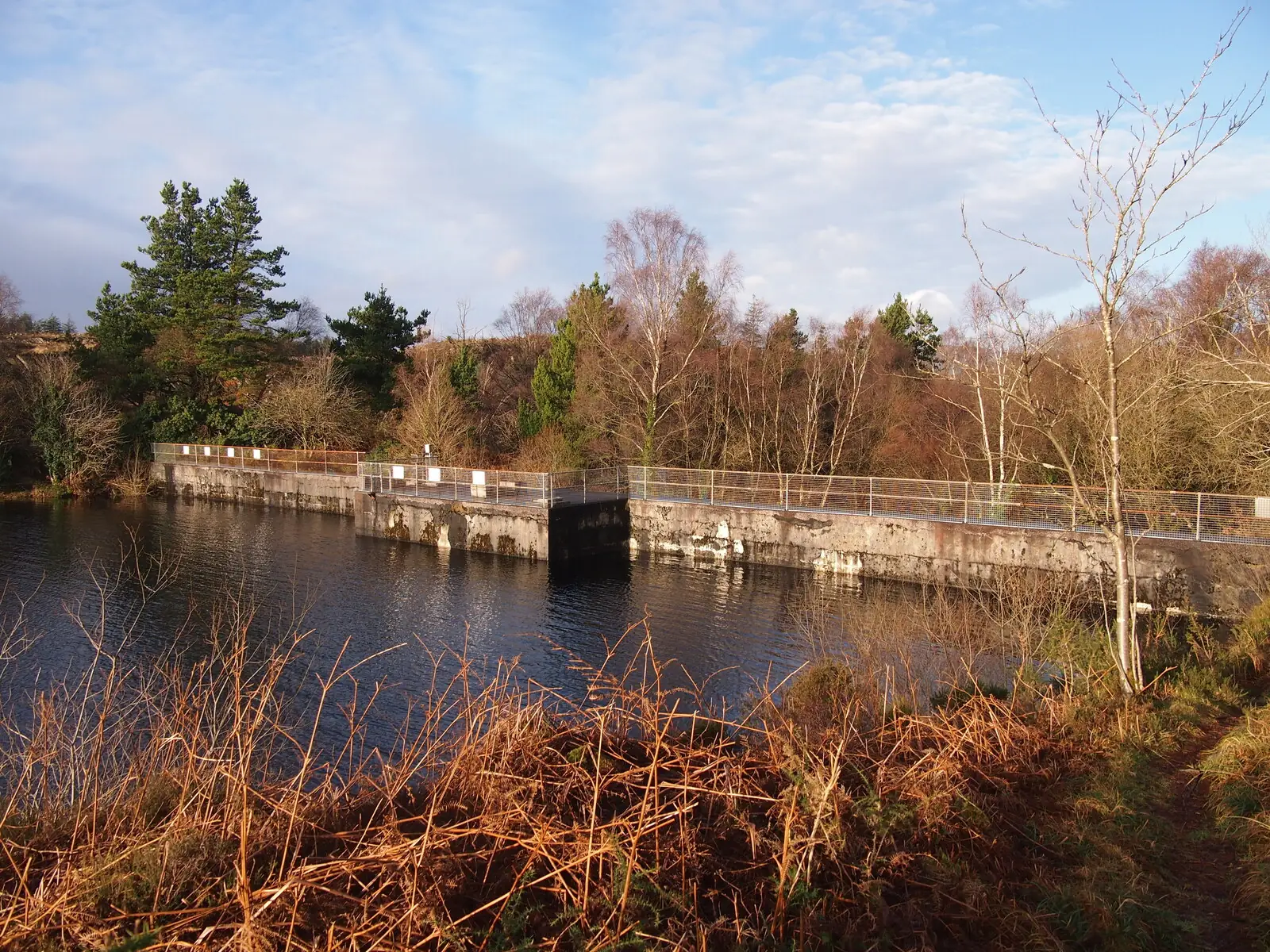
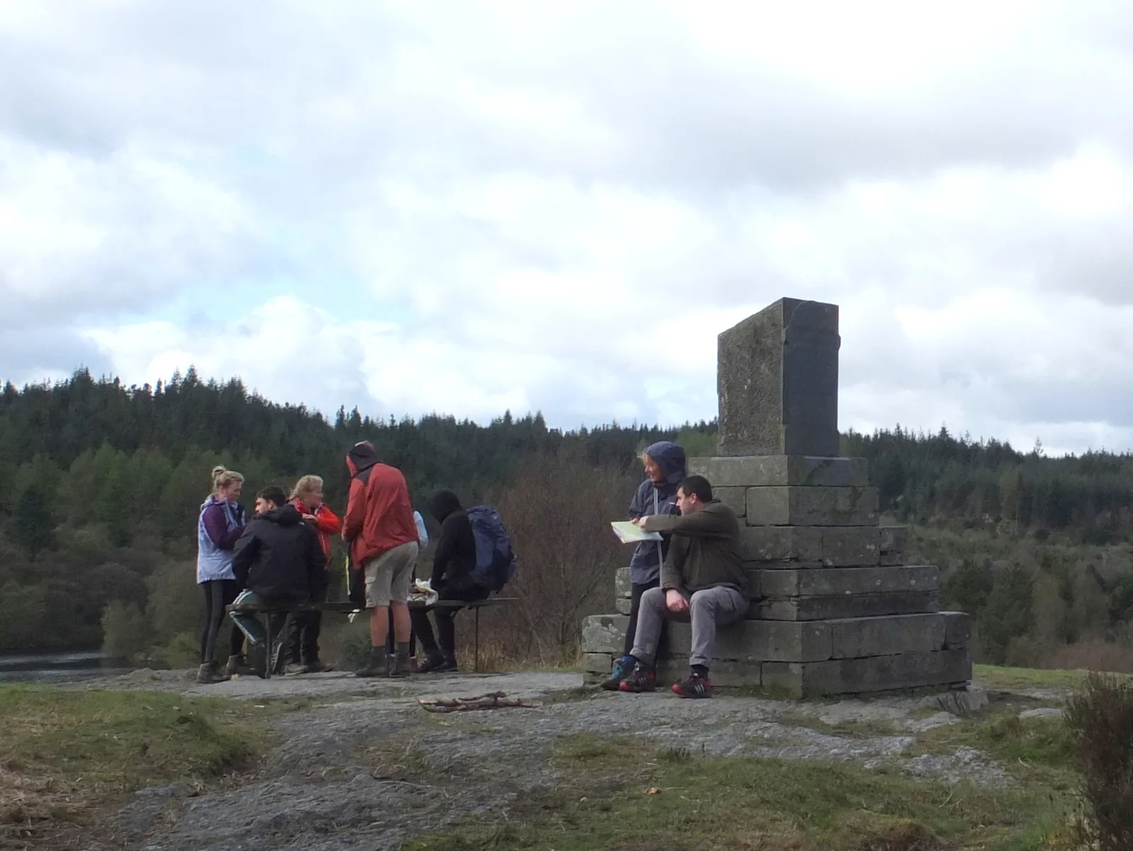
There was no Llyn Elsi before the First World War. There were two smaller lakes, Llyn Rhisgog and Llyn Enoc, in a boggy hollow on the hillside. A twenty-foot dam put them both under the same water in 1914, and gave Betws-y-Coed a supply it had not had before. At the northern end a stone memorial still records the opening, and the landowner who allowed it.
The forest came afterwards. The Forestry Commission began planting Gwydir in 1921 on ground bought largely from the same family, and the conifer wall that now rings the water is younger than the dam holding it in. Underneath both is older industry again: lead and zinc were worked across these hillsides for centuries, which is why the standing instruction here is to keep to the waymarked path.
One island, and a plantation younger than the water round it.
Should this shape your day?
A walk that happens to end at a lake, rather than a lake with a walk attached.
Good fit for
walkers wanting a real climb without a mountain day
anyone staying in Betws-y-Coed who wants out of the village
people who like a landscape with a documented reason for existing
photographers after open water with a forest edge to it
Think twice if
you were expecting to park at the water
you need a step-free or level route
you want a short flat stroll beside a lake
you are setting off late on a short winter afternoon
Before you go
the trail starts behind the church, not at the car park
the forest manager grades it Strenuous
nothing is published at the lake, so carry what you need
Climb early, before the coaches reach the village, and go round the water rather than turning back at the first view of it. The memorial and the best of the mountain skyline are both on the far side.
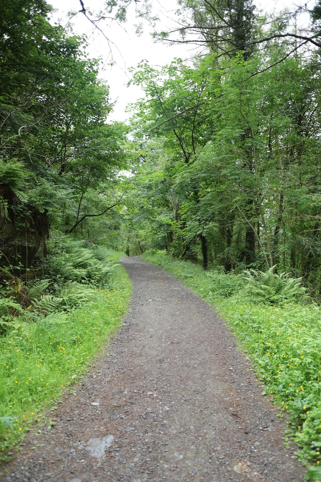
The forest road out of the village: most of the visit is this.
Village, forest, water.
See the shape of the walk before you commit to the climb.
01 Park in the village
Pont y Pair, pay and display. The toilets here are the last ones.
02 Cross to the church
The forest road behind St Mary’s is where the trail actually starts.
03 The climb begins
Steady gradient on made road, and the village noise thinning out.
04 A bench, and then another
The forest manager put them here for a reason. Use one.
05 Into the plantation
Made road gives way to waymarked path under the conifers.
06 The water opens out
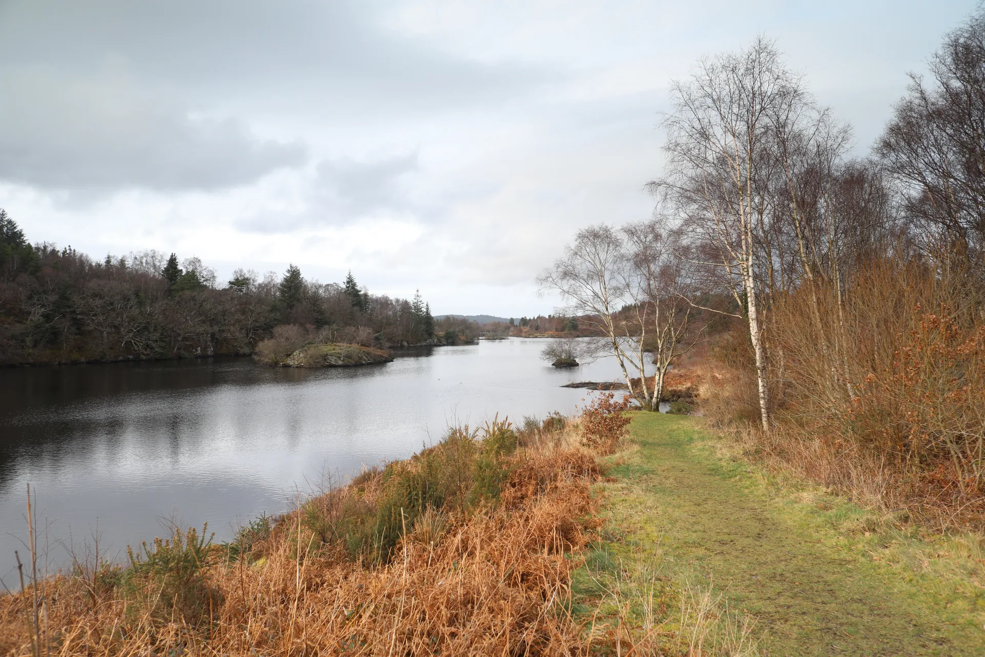
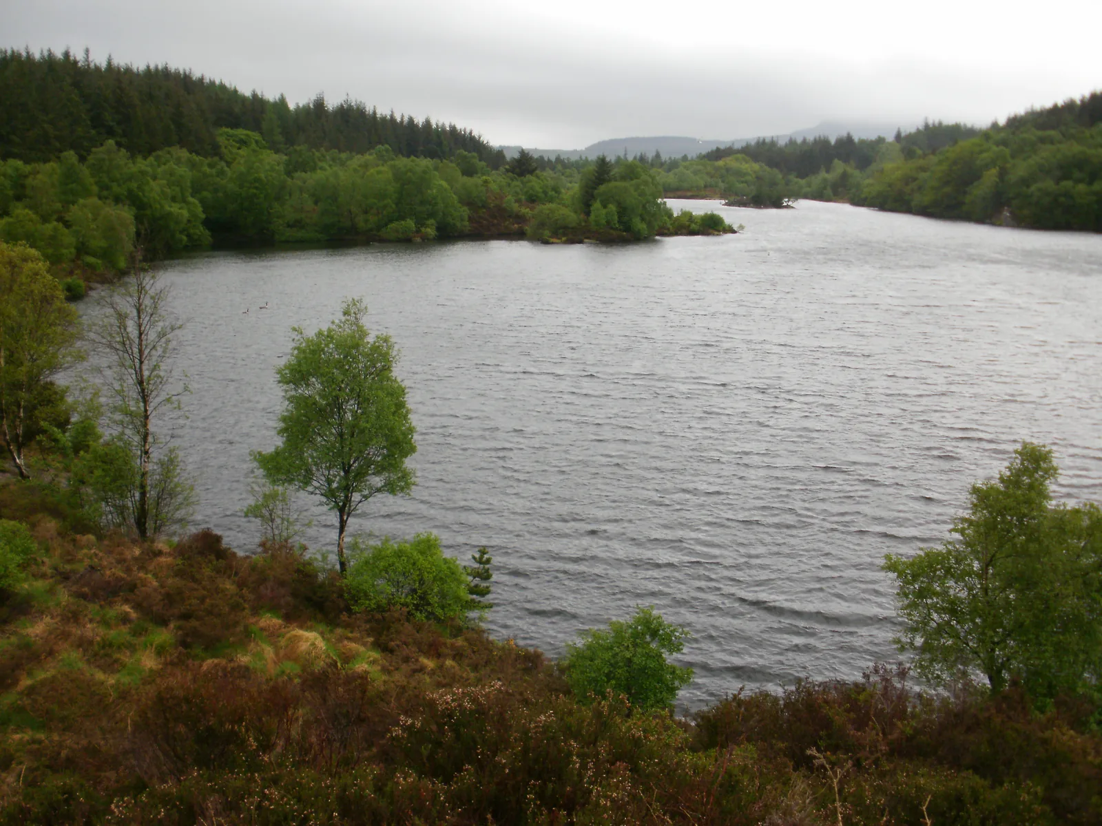
An island, a far shore, and mountains along the western skyline.
07 Round to the memorial
The stone at the north end, then the same ground back down.
Seen along the way.
Track, water, island, dam and memorial: the walk before you make it.
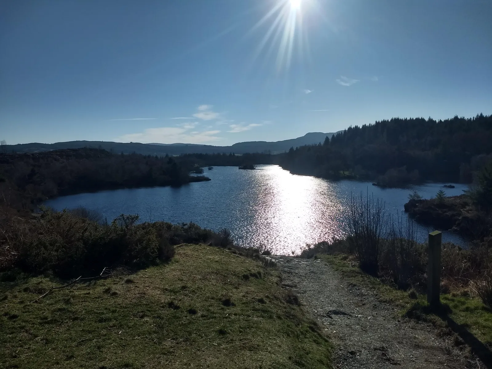
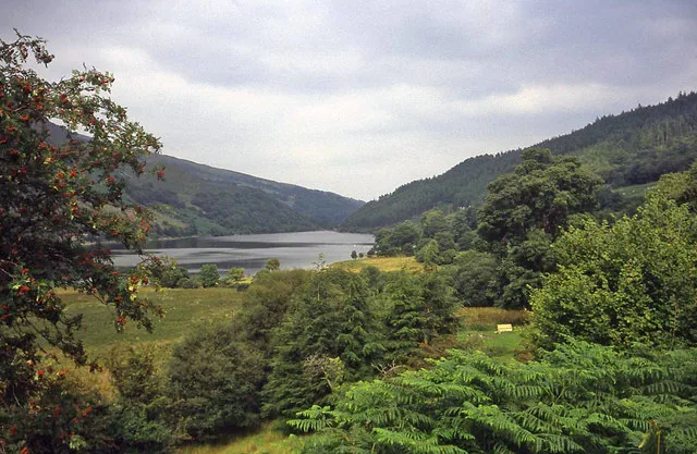
Sun on the water, and a waymark to followThe lake from the north, on a grey dayThe island, and the birds that have it to themselvesThe dam · the reason there is one lake here and not twoThe memorial at the northern end, doing duty as a benchThe track back down to the village
The parts people remember
Nobody arrives at Llyn Elsi by accident. That turns out to be most of what makes it worth going.
01
Walking away from the crowd
Betws-y-Coed is full. Cars, coaches, queues at the outdoor shops. You turn up a lane behind the church and within a few minutes none of it is following you.
02
The gradient makes its case
The road looks gentle for the first hundred metres and then it stops pretending. There are benches on the way up, and the moment you understand why they are there is the moment you sit on one.
03
Trees, then suddenly sky
The path spends a long time enclosed, close and green and a little airless. Then the plantation ends without warning and there is open water, a far shore, and a great deal of weather overhead.
04
The island belongs to the birds
You notice it as scenery and then you notice it is occupied. Gulls sitting along a low rock, geese in the shallows, and no way for anyone to get out there and bother them.
05
Going down is the quiet part
The climb takes all your attention. The descent gives it back, and the village comes up through the trees a good while before you can hear it again.
It is the ordinary shape of a good walk — effort, then a reward you had to earn — and the fact that it sits directly above somewhere so busy is what makes it stay with people.
Gwydir Archive
Old stories, carefully told.
Three field notes on how a boggy hollow above Betws-y-Coed became a reservoir, a memorial and a forest, in that order.
All three notes below are documented record. Where a detail could not be read from a reliable source, it is left out rather than guessed at.
Field notes
Three entries. Open one to read the note.
Water Fact
Two lakes under one
Field note I · filed under waterworks
The water you walk round is not a natural lake. It is two smaller ones, drowned under the same surface by a dam built in 1914.
What is known
Before the dam this was a marshy hollow holding two small lakes, Llyn Rhisgog and Llyn Enoc. A twenty-foot dam raised and joined them in 1914, and the result became the water supply for Betws-y-Coed. Two independent accounts agree on the shape of that story and on the year.
What is not settled
How big the lake actually is. The two most-cited figures — thirty acres and twenty-six — come from pages that are not independent of one another, so this guide publishes no area at all. The elevation is given everywhere in the same hedged form, more than seven hundred feet, and that is how it is given here.
What to notice there
The dam itself is low, railed and unshowy, easy to walk past. It is also the entire reason there is one sheet of water here instead of two ponds in a bog.
The stone Fact
The name at the north end
Field note II · filed under the memorial
A stepped stone block above the northern shore marks the opening of the waterworks, and the landowner who let it happen.
What is known
The memorial commemorates the opening of the Betws-y-Coed water supply and records that Lord Ancaster gave permission for the dam and for the use of the lake. Two independent accounts describe it in the same terms and place it at the northern end, on a rise looking down the water.
What is deliberately absent
Its inscription. The one page that transcribes the wording could not be read, and a search summary is not a source, so no text and no exact dedication date appear anywhere on this guide. If you go, you can read it yourself, which is the better outcome anyway.
What to notice there
The same surname sits behind both halves of what you have walked through. Ancaster permitted the dam that made the lake, and Ancaster land became the forest you climbed to reach it.
The forest Fact
Gwydir, planted over the mines
Field note III · filed under land use
The trees are the newest thing on this hillside. What they were planted over is the reason you are asked to stay on the path.
What is known
Gwydir Forest covers more than 72.5 square kilometres and was established by the Forestry Commission in 1921, on land acquired largely from Lord Ancaster. It became a National Forest Park in 1937 and a Forest Park in 1993, and is now managed by Natural Resources Wales. Most of it is spruce, fir, larch and pine, with native oak, beech and ash increasingly planted alongside.
What came before the trees
Lead and zinc. Mining ran across these hillsides chiefly between 1850 and 1919, on a small scale from the early seventeenth century, at Parc, Hafna, Llanrwst, Cyffty, Pandora and Aberllyn. None of those workings is at Llyn Elsi, and this guide claims no mine at the lake.
What to notice there
The forest manager’s warning about unprotected drops and old buildings is not boilerplate. It is the industrial past, still out there under the bracken, written as an instruction.
Everything else is back down the hill.
Four more places, all of them within a short drive of the car park you started from.