The defining feature
A wide, flat plateau
A flat, boulder-strewn top marked by a single cairn. Carnedd Llewelyn doesn't perform for the camera the way a sharp peak does. The reward here is scale, not drama.
Conwy / Gwynedd boundary · Eryri · Mountain
Two ridge routes reach a wide summit plateau: the Carneddau's highest ground. Real mountain walking, with no railway to soften it.
The Carneddau's highest point: a broad, boulder-strewn plateau above Ogwen, reached by two documented ridge routes: real mountain walking, not a marked family trail.
Choose your route
There is no official Eryri National Park route page for Carnedd Llewelyn. Both lines below are real, documented ridge walks from Ogwen, assembled from independent route guides, not an official register. Pick one and the board below redraws to it.
Ways up
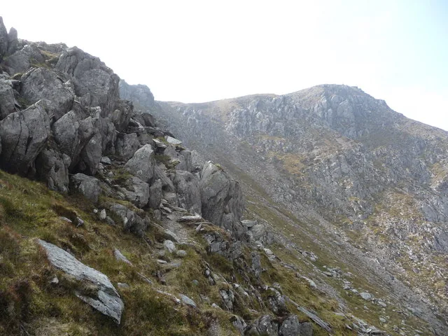
Two independent route guides corroborate the core sequence of this route, but every distance and ascent figure here rests on a single source, shown with an "About" qualifier rather than as a settled figure.
A single outdoor-editorial source describes this circuit in full; no ascent figure is published for it at all, so this guide states distance and duration only, never an invented ascent.
Practical brief
The classic four-summit line, from the A5 layby.
A longer day from Ogwen Cottage, with a second scramble on the way down.
Checked 17 July 2026 against Eryri National Park Authority and independent route guides. Confirm current parking, transport and ground conditions before you go.
Before you go
Parking, transport, dogs, the routes, weather and emergency — checked before you go.
Details from Eryri National Park Authority: Ogwen (opens in a new tab) and Parking in Eryri (opens in a new tab). The Gerlan and Llyn Eigiau lay-bys are not National Park facilities; those details come from walkingbritain.co.uk (opens in a new tab), with the Llyn Eigiau parking point corroborated independently by go4awalk.
The TrawsCymru T10 (opens in a new tab) (Bangor–Bethesda–Betws-y-Coed–Corwen) stops at Llyn Ogwen; Eryri National Park Authority names it as the way in. Partneriaeth Ogwen also runs the Bws Ogwen electric minibus from Bethesda, but it publishes no fixed timetable page. Check the current service before travelling.
Toilets and showers, 24-hour access, at the Cwm Idwal Centre, Ogwen. The only on-site facilities either route passes. Nothing at the Gerlan approach, and nothing on the mountain itself on any line.
Dogs must be kept on a lead of no more than 2 metres on Open Access Land between 1 March and 31 July (breeding season for livestock and ground-nesting birds). On public rights of way, close control is required, with a short lead near livestock at all times. No specific rule for the semi-feral Carneddau ponies is published. Treat them with the same livestock caution.
The Ogwen Horseshoe is the shorter, more direct four-summit ridge from the A5 layby; the Craig yr Ysfa Circuit runs longer from Ogwen Cottage, adding a second scramble on the way down via Ffynnon Llugwy reservoir: not an easier alternative, just a different, longer day. No Eryri National Park route page exists for Carnedd Llewelyn; both routes here are inferred, assembled from independent walking-route guides, not an NPA-designated path. A third approach, from Gerlan (Bethesda) via Afon Llafar and Yr Elen, is confirmed to exist by two independent sources but its figures to Carnedd Llewelyn's own summit are not fully documented; it isn't given a full route card on this page.
Wind funnels hard on this ridge: a breeze that's manageable in the valley can be a real fight on the tops, and both routes hold long stretches of open, exposed walking. The summit plateau is flat and boulder-strewn with no obvious path, so cloud turns navigation into the day's real hazard, more than the scrambling. Snow or ice from November to April is common across the Carneddau. No official equipment mandate is published for Carnedd Llewelyn specifically, but an ice axe and crampons may be needed depending on conditions.
The Met Office publishes a location forecast named for this mountain (opens in a new tab) (listed in its gazetteer as Carnedd Llywelyn); MWIS (opens in a new tab) publishes a regional mountain forecast that names the Carneddau specifically within its Eryri/Snowdonia view. Read both, and read them as inputs rather than answers: a location forecast does not replace your own judgement about summit wind, cloud, visibility, snow and ice on a plateau with no path.
No alternative escape has been verified for either route; reversal is the confirmed plan on the Ogwen Horseshoe unless you continue on to Pen yr Helgi Du. On the Craig yr Ysfa Circuit, the second scramble comes on the way down, not just the way up. Treat descending it with the same seriousness as the climb, not as an easier formality at the end of a long day.
Dial 999 or 112 and ask for Police, then Mountain Rescue (emergencySMS also works if registered in advance). Ogwen Valley Mountain Rescue Organisation covers the Carneddau, Glyderau and Ogwen Valley. The T10 bus and Bws Ogwen shuttle run to a timetable, at the roadside; neither is a rescue or descent plan.
Neither route is a short walk or a marked path; both are full, self-navigated mountain days with a scramble section, and neither is a first-mountain or family-friendly option. There are no facilities beyond the Ogwen start point, and no step-free or easy way onto the summit plateau.
Specific to this mountain
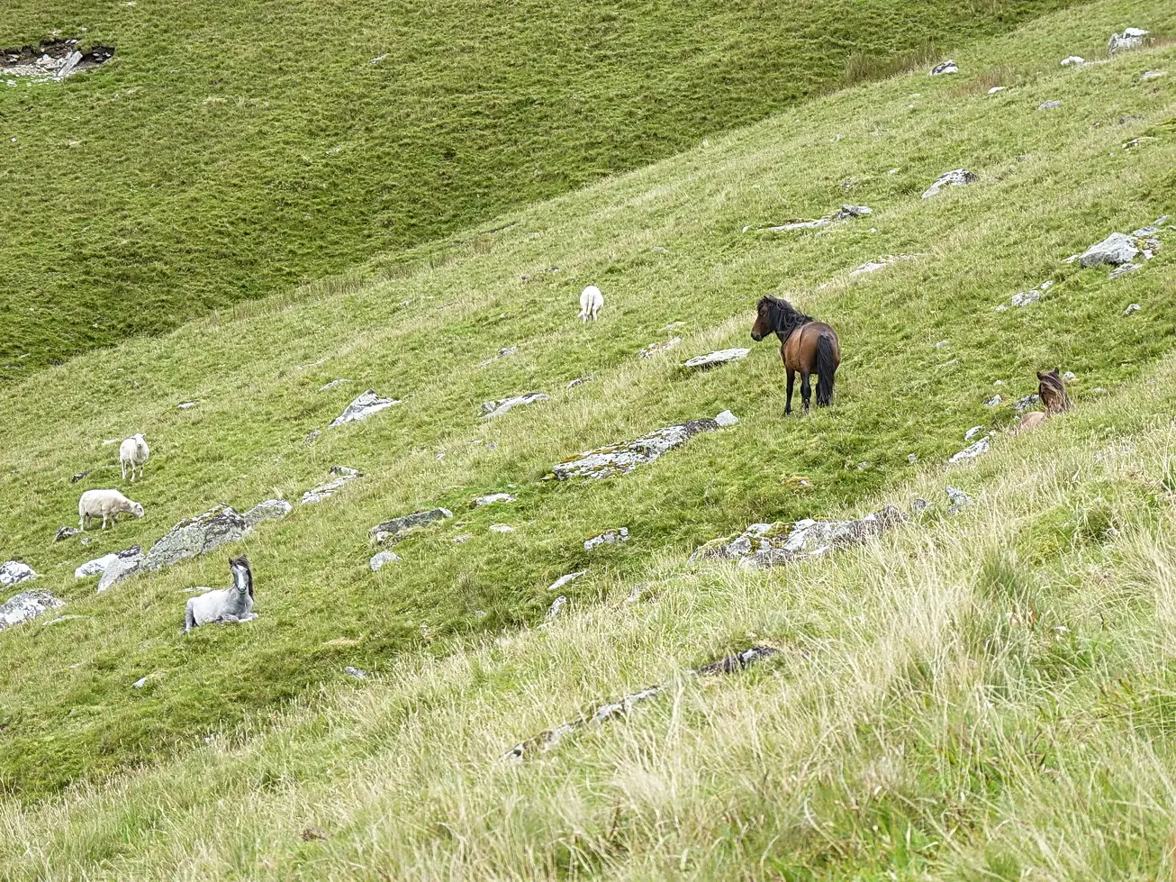
The lower slopes are grazed by the Carneddau ponies, a genetically distinct semi-feral herd managed under a Natural Resources Wales agreement. Give them space. Wild camping isn't permitted anywhere in Eryri without the landowner's permission, and never in car parks or on verges.
On the mountain's southern flank, wreckage and a granite tablet mark where an RAF Avro Lincoln (RF511) came down in bad weather in March 1950: six crew, none of whom made it home. It's off the summit itself and not something this photograph shows; three independent aviation-history sources agree on the date, unit and location.
Sourced from Eryri National Park Authority, Ogwen Valley Mountain Rescue Organisation, the Met Office and independent route guides, checked 17 July 2026.
The reckoning
You've seen the two lines; the last question is the weather. The featureless summit plateau makes cloud a genuine hazard, not just a disappointment.
The Met Office link is a location forecast named for this mountain (listed as Carnedd Llywelyn); MWIS is a regional mountain forecast for Eryri/Snowdonia that names the Carneddau specifically. Read them together: a location forecast is not a substitute for judging summit wind, cloud, visibility, snow and ice yourself.
The Met Office lists a location forecast for this mountain, and MWIS names the Carneddau specifically in its regional view. Neither is a summit-specific mountaineering forecast; on a plateau with no path, they inform the decision rather than make it.
Both routes hold open, exposed ridge walking for much of their length; a valley breeze can be a fight on the tops.
Independent sources agree the summit is a flat, boulder-strewn plateau; in cloud, finding the right line off it is the real hazard, not the climb.
Treat snow and ice as winter conditions. No official mandatory-equipment requirement is published for Carnedd Llewelyn specifically, but significant snow and ice are common across the Carneddau from November to April. Don't assume a route is in summer condition without checking first.
The summit
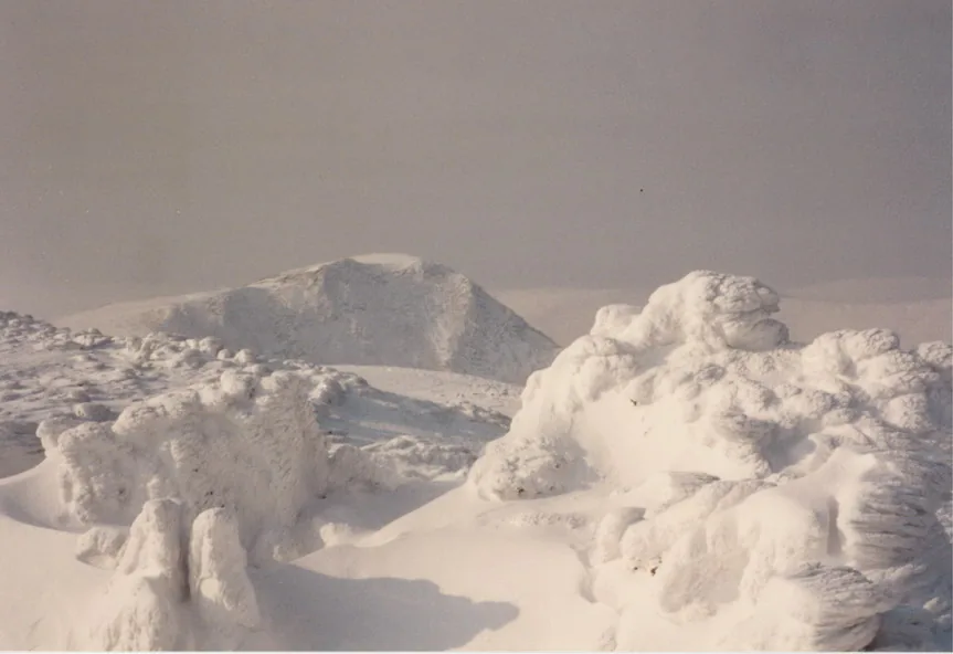
You climb for the top, but Carnedd Llewelyn's summit doesn't perform for the camera the way a sharp peak does; its reward is scale: a wide, quiet plateau, and the sense of standing on the Carneddau's highest ground.
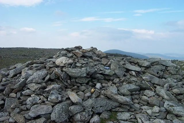
The defining feature
A flat, boulder-strewn top marked by a single cairn. Carnedd Llewelyn doesn't perform for the camera the way a sharp peak does. The reward here is scale, not drama.
Weather permitting
On a clear day, the high ground opens toward the Yr Wyddfa massif and, further off, the sea, though low cloud on the Carneddau is common enough that the view is a bonus, not a guarantee.
Why it matters
The plateau's flatness is exactly what makes it a hazard in poor visibility: without a sharp summit cone to orient by, sound navigation matters here more than on almost any other Carneddau top.
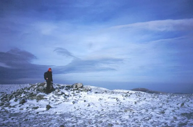
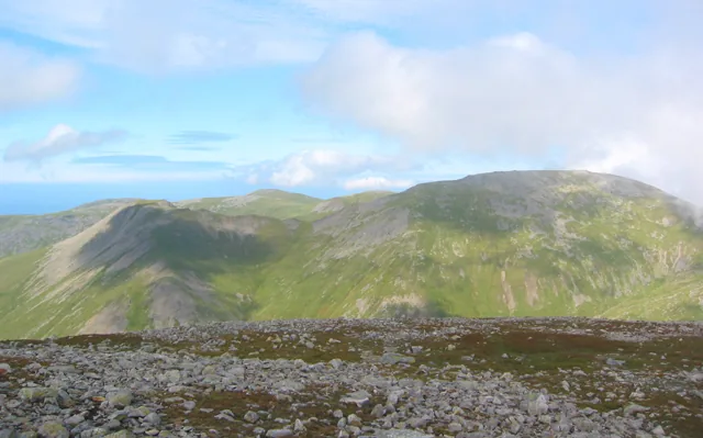
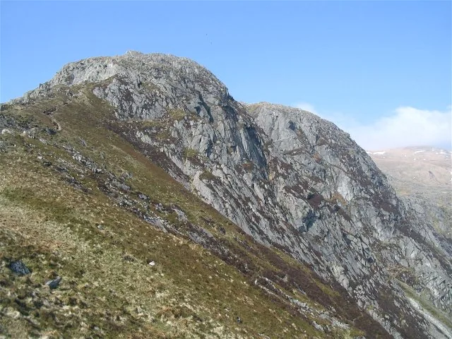
Six scenes from Carnedd Llewelyn: the plateau, the ridge, the scramble, and the ponies on the lower slopes.
The way down
Most of the day's trouble comes after the top, on a plateau with no obvious line to follow. Read the notices, then make the call.
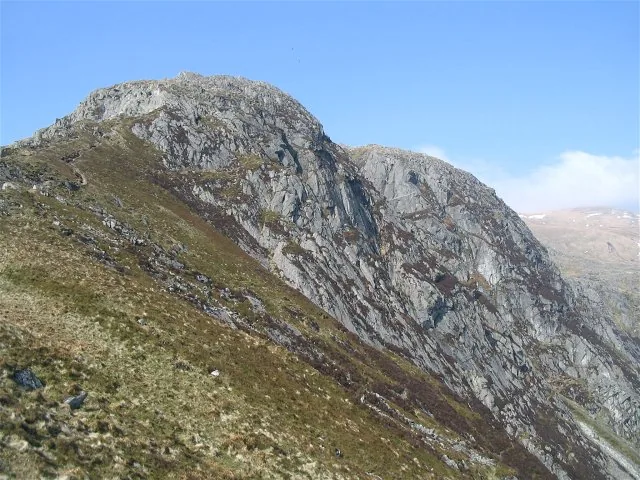
The summit is flat and boulder-strewn; the descent crosses the same featureless ground as the ascent.
Both routes' scramble ground — Pen yr Ole Wen, or Craig yr Ysfa — must be reversed or descended, not just climbed once.
An open ridge with no shelter: check the regional Eryri forecast before committing, and be ready to turn back.
The T10 and Bws Ogwen run to a timetable, at the roadside. Not partway up the mountain.
The Ogwen and Conwy valleys hold more than one mountain. These are the places around it.
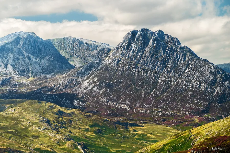
The Ogwen Valley's other summit, visible across the valley from the ridge: a real second mountain-day option, every route on it a scramble.
Read the guide →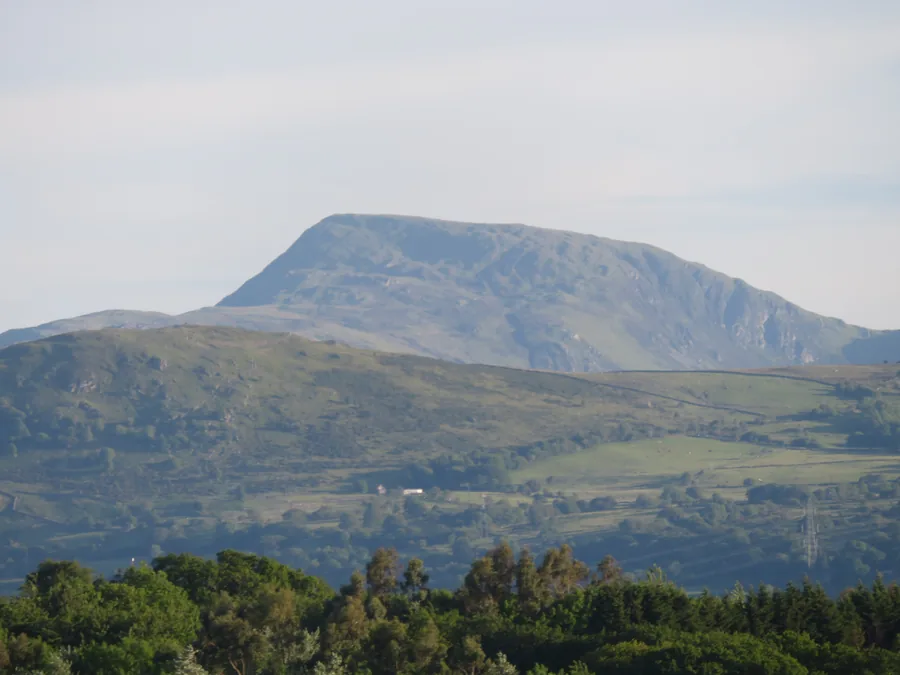
The Carneddau’s south-eastern outlier above Llyn Cowlyd: a shorter day on the same range, and usually an empty one.
Read the guide →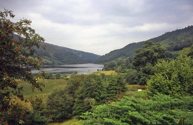
Two forest lakes above Trefriw: flat, quiet ground for the evening after a long ridge day.
Read the guide →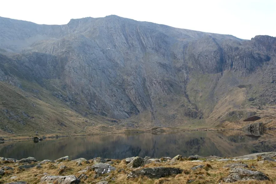
The glacial cwm on the far side of the A5: a lake circuit under the Devil’s Kitchen, and a much gentler way to spend the same weather.
Read the guide →On the Atlas
North of the Ogwen valley, near Bethesda and the A5.
Open Carnedd Llewelyn on the mapContinue exploring
Carry that sense of distance into the wider Carneddau.