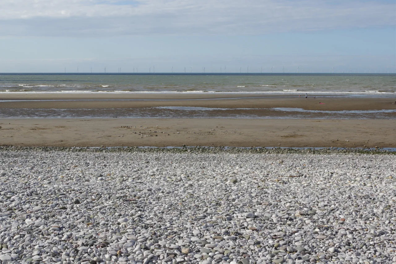
The bank of white stone
A ridge of loose pebbles carrying sea kale and Ray’s knotgrass, protected since 1977 as the best of its kind in the county.
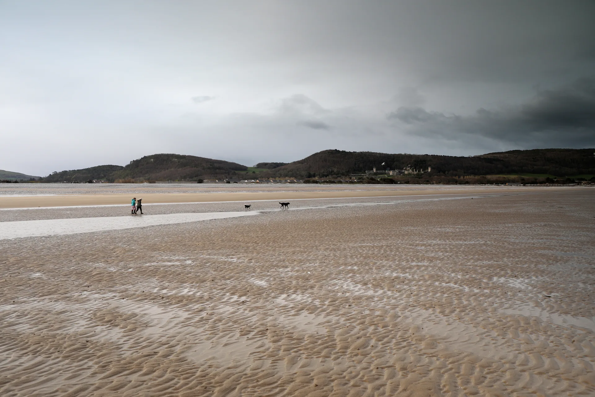
Conwy · North Wales coast
A market town a mile inland, a seaside suburb on the shore, and a protected bank of white shingle where the two of them meet the sea.
01The town
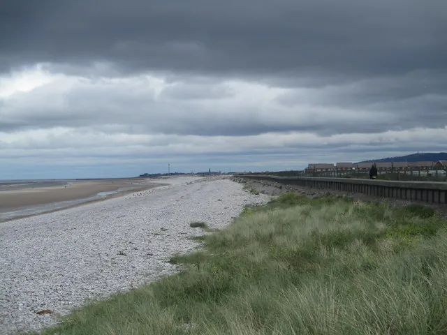
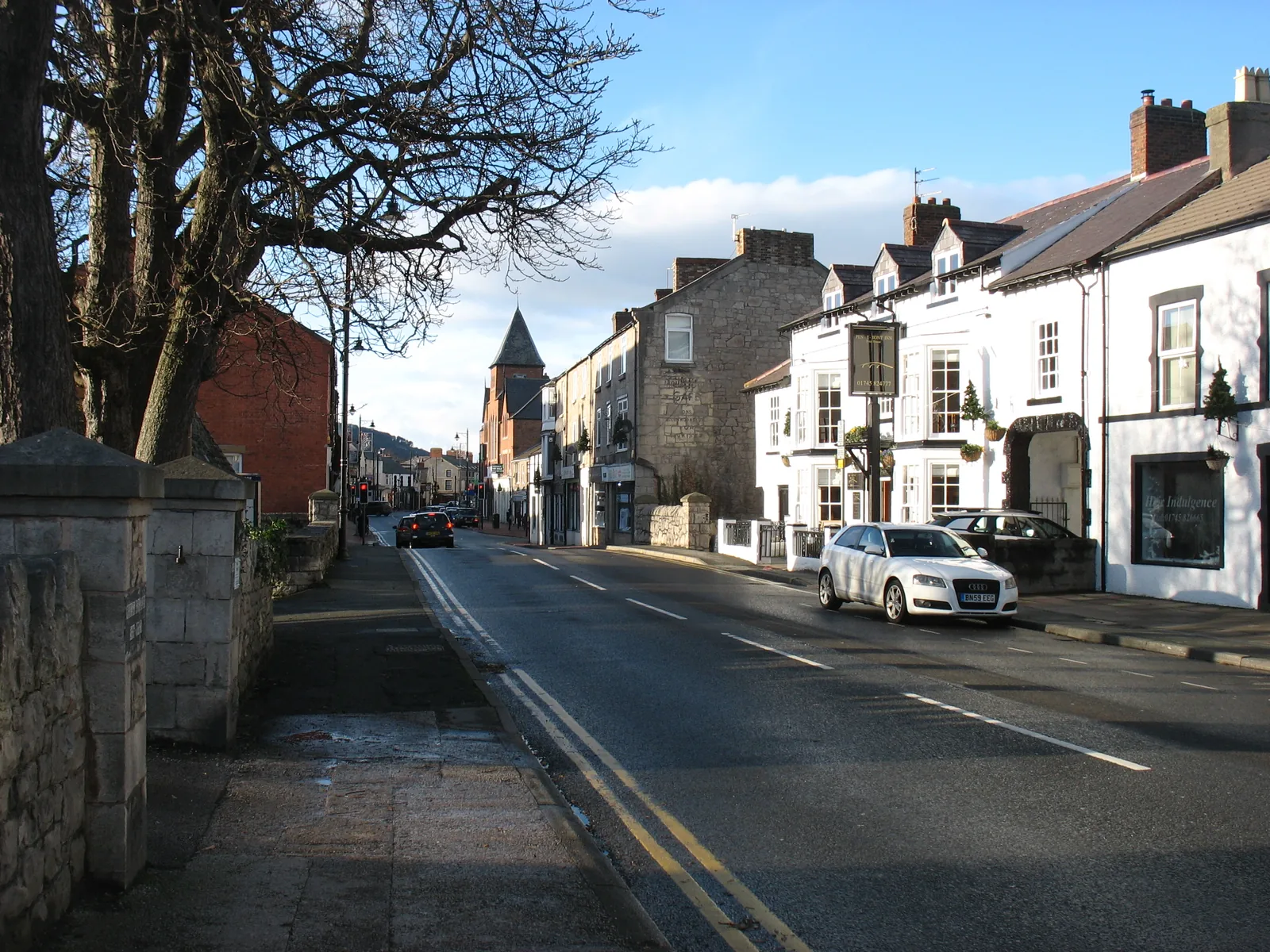
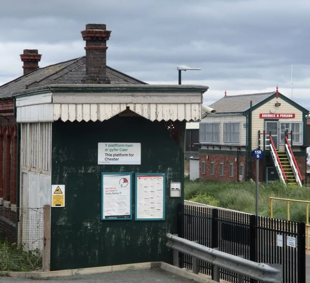
The sea comes first if you arrive by train: the station at Pensarn stands three minutes from the promenade, with the shingle bank on the seaward side and the coast path running level in both directions. Inland from there the road passes Pentre Mawr Park and reaches Abergele itself after about twenty minutes on foot: Market Street, the church a turn behind it, and the wooded hill of Y Gopa closing the view south.
Most people pass through on the way to Gwrych Castle. What they drive past is a shingle ridge protected since 1977 for plants that grow almost nowhere else in North Wales, and an Iron Age enclosure inside forty-seven hectares of limestone woodland above the town.
Character
Roughly eleven thousand people live in the community. Abergele is a shopping-and-services town first; Pensarn is where the caravan parks, the amusements and the promenade café face the water.
Pace
About twenty minutes on foot between the promenade and Market Street, all of it level. Only the climb into Coed y Gopa asks anything of you: a stoned track rising through the wood.
Landscape
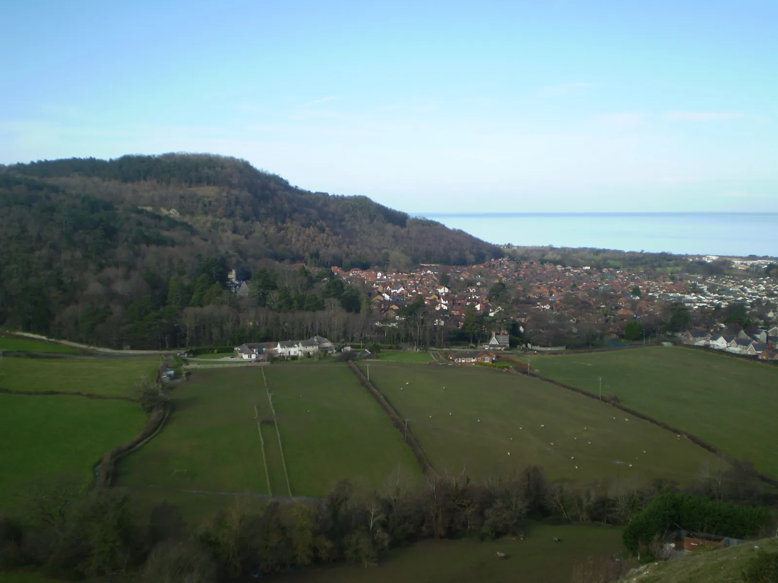
The Afon Gele runs down to a shore of loose white stone rather than sand. Behind the town Y Gopa rises to about 189 metres, wooded to the top, with Moelfre Isaf further south.
Best for
Best for a rail arrival that puts you beside the sea, a level coastal walk in either direction, and anyone looking for somewhere to spend the rest of a Gwrych Castle day.
02Discover
A ridge of loose pebbles carrying sea kale and Ray’s knotgrass, protected since 1977 as the best of its kind in the county.
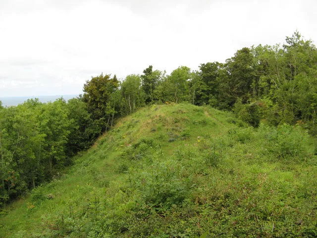
A stoned track through beech and pine to an Iron Age enclosure on the limestone, with the coast opening out behind you.
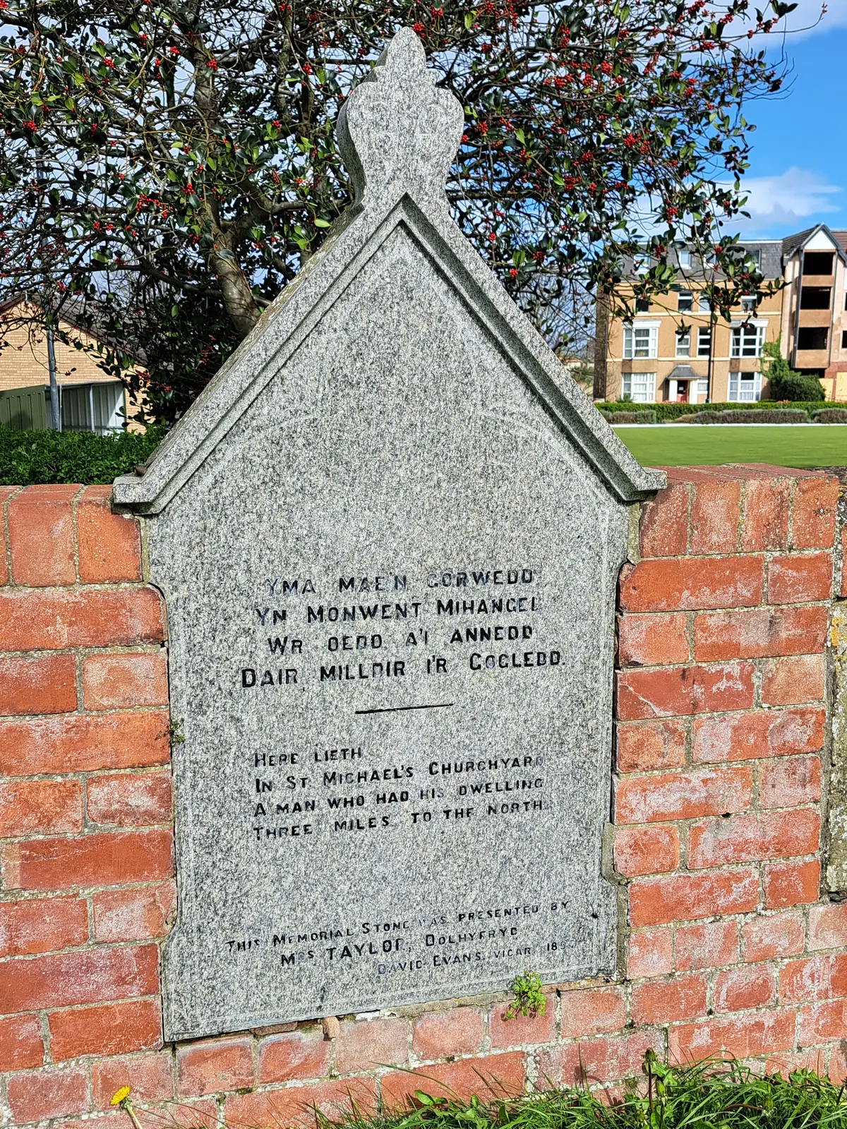
One grave holds thirty-three people burnt beyond recognition, a few paces from a stone remembering a man it never names.
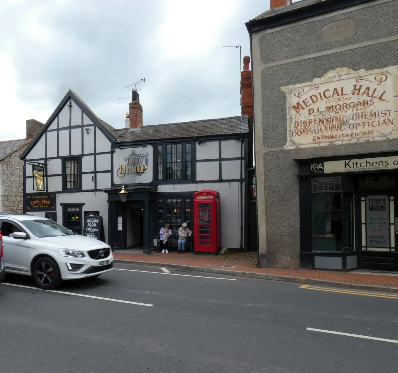
Shops, pubs and cafés along a street that serves the town rather than the coast: the ordinary half of the place.
Beyond the first defining moments, the fuller Abergele catalogue continues below.
One line north to south: the beach and the promenade, the park between the two centres, then Market Street, the church, and the wooded hill above.
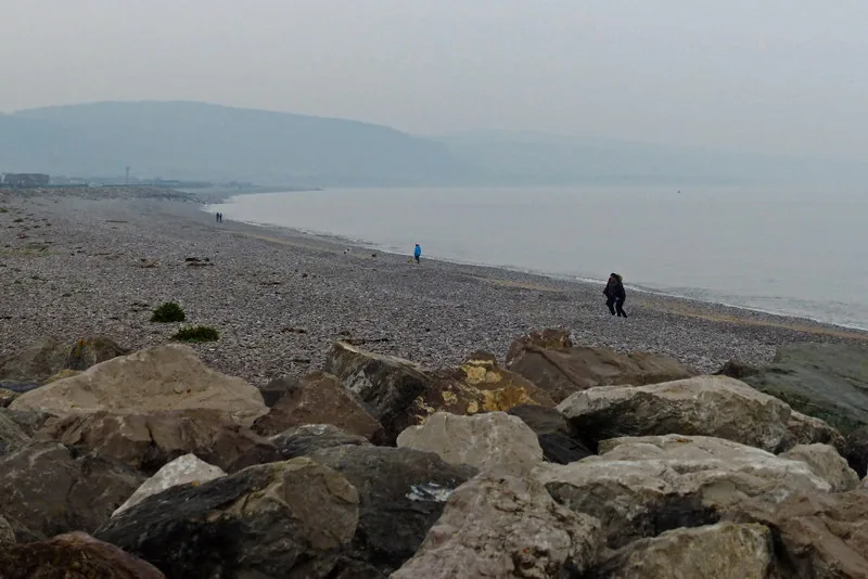 No verified image yet
Pensarn Beach
On the shore north of the town. Free promenade parking, and the station three minutes away.
Five destinations on one north–south line: a protected shingle coast, a Green Flag park, the town’s working street, a twin-naved church with a mass grave in its yard, and a wood with an Iron Age fort on top. No restaurants, pubs or shops are listed here; see Local life for the town’s everyday character.
Coast · SSSI
Loose white shingle above the tideline, sand below it, and a level promenade carrying the coast path away in both directions.
Check dog restrictions and beach parking (opens in a new tab)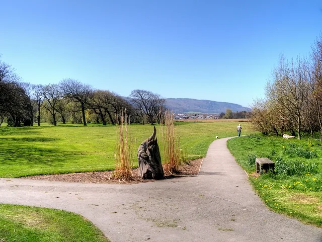
Green Flag park
Sculptures, a walled garden and a pond with a viewing platform, on the open ground that separates the town from the sea.
Official park information (opens in a new tab)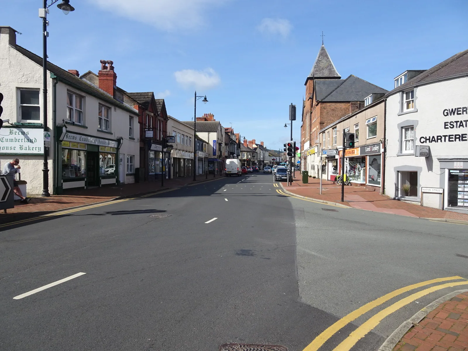
Streets
The working half of the place: shops, pubs and cafés along a street that faces the town rather than the water.
Working church
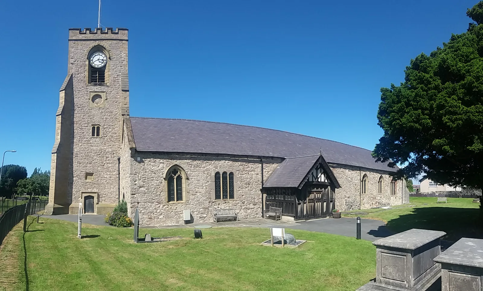
Twin naves under one long roof, and in the churchyard the mass grave of everyone killed when the Irish Mail caught fire.
Woodland & hillfort
Forty-seven hectares of limestone woodland with medieval mine workings below and an Iron Age enclosure at the top of the climb.
Official access and parking information (opens in a new tab)Beach parking seasons, the dog-exclusion period and the promenade’s seasonal kiosks all change through the year; confirm current details before you plan a day around them.
Pensarn Beach, Conwy County Borough Council03Story
The name means the mouth of the Gele, and the river is still the reason the settlement sits where it does. Everything after that arrived in layers: a church, a hill worked for metal, an estate, a railway line, and finally a shore worth protecting.
Abergele was an early medieval mother church with its own community of clergy. The Norwich Taxation of 1254 lists it with two dependent chapels, and the curving bank still traceable along the east side of an otherwise rectangular churchyard is the physical remnant of that older enclosure.
The building that stands now is Perpendicular in character, two naves side by side under one long roof with a west tower. Most of the detail was renewed by Victorian restorers — 1858, 1861, then Arthur Baker’s £2,500 campaign of 1878–79 — but the medieval roof survives above them, along with sepulchral fragments and a fourteenth-century slab. The first priest recorded here was appointed in 1304.
Lead and copper were worked in the hill above the town through the Middle Ages, leaving Ffos y Bleiddiaid — the Ditch of the Wolves — a narrow cleft cut into the rock. Long before the miners, an Iron Age community had already enclosed the summit. Lesser horseshoe bats now hibernate in the old workings.
Gwrych Castle was raised on the hillside west of the town from 1819 for Lloyd Hesketh Bamford-Hesketh. The wood above Abergele belonged to that estate and supplied its fuel; the castle’s pale line along the skyline is still what most people photograph from the beach.
The Chester–Holyhead railway put a station on the shore and made Pensarn possible. It also brought the disaster: wagons of paraffin, left uncoupled on a gradient at Llanddulas, rolled down into the Irish Mail. Thirty-three people died, none of them identifiable. British railway law changed afterwards: catch points on inclines, the Petroleum Act of 1879, and an end to locking passenger doors from the outside.
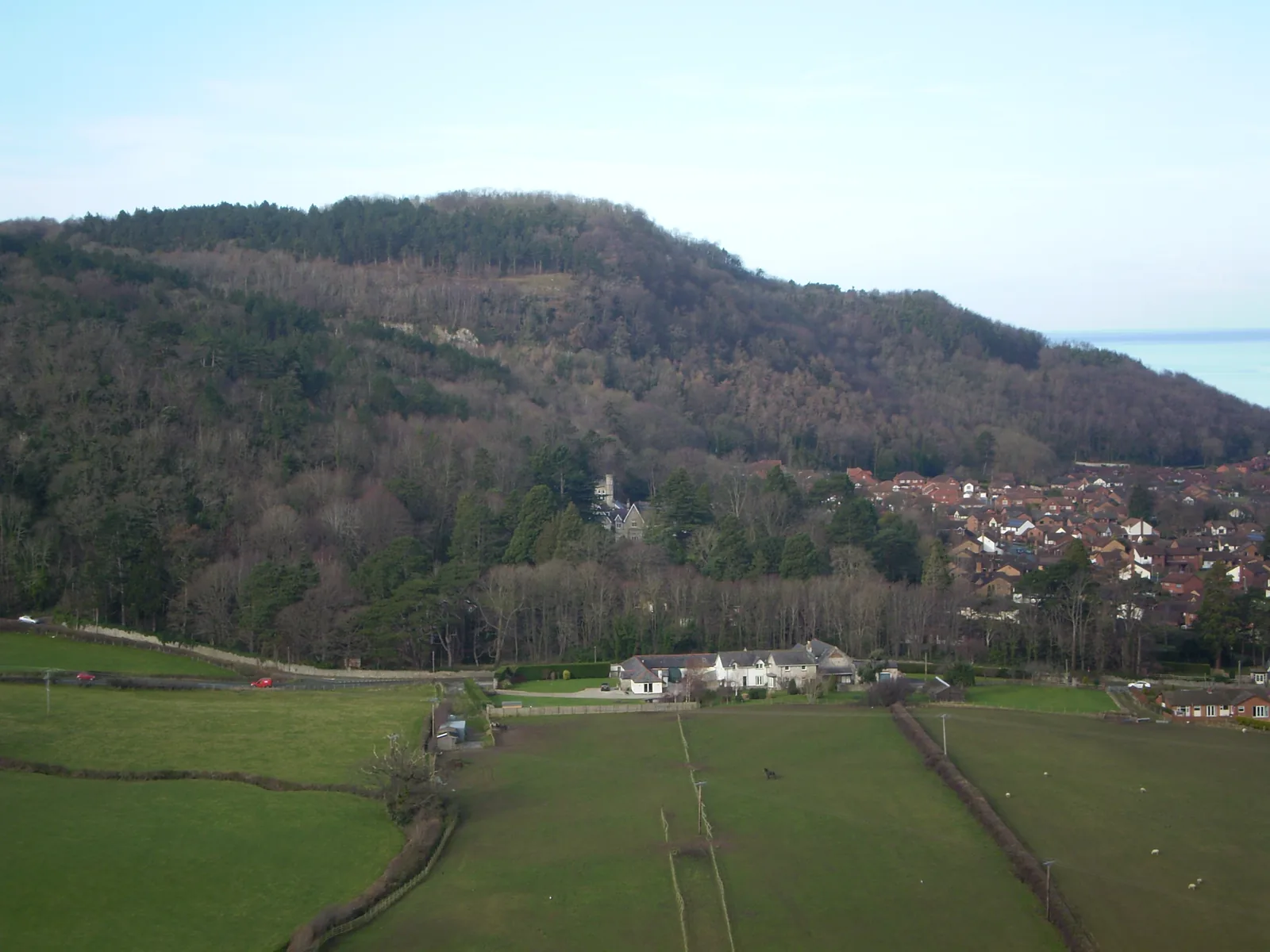
The church came first, the mines came out of the hill, and the railway brought both the sea and the worst day in the town’s history.
Atlas of Wales
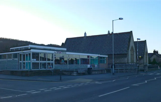
Pensarn belongs to the season. The caravan parks fill, the kiosks and amusements open along the front, and the promenade café puts its tables out. Abergele carries on regardless: shops, pubs, a library, a bowling green, a town hall in the park.
That split is the thing to understand before you arrive. Out of season the shore is quiet rather than closed, and the town is exactly as busy as it always is.
The shingle bank beside the coast path is a protected habitat; stay on the path and the promenade rather than walking the crest of the ridge.
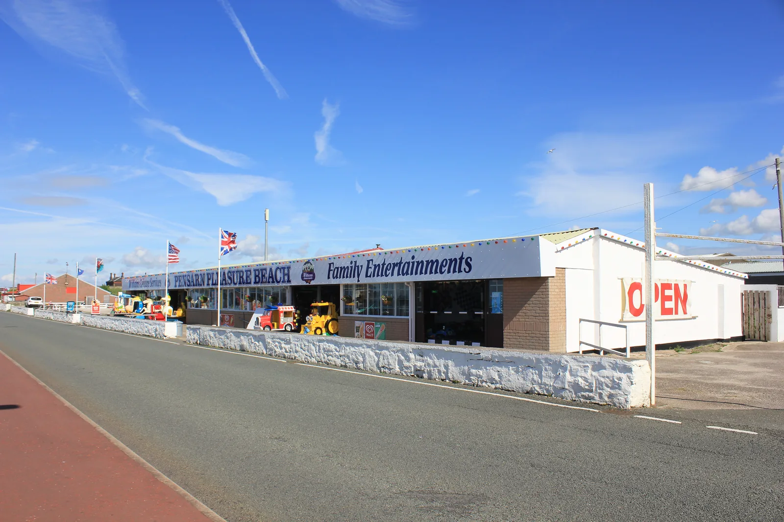
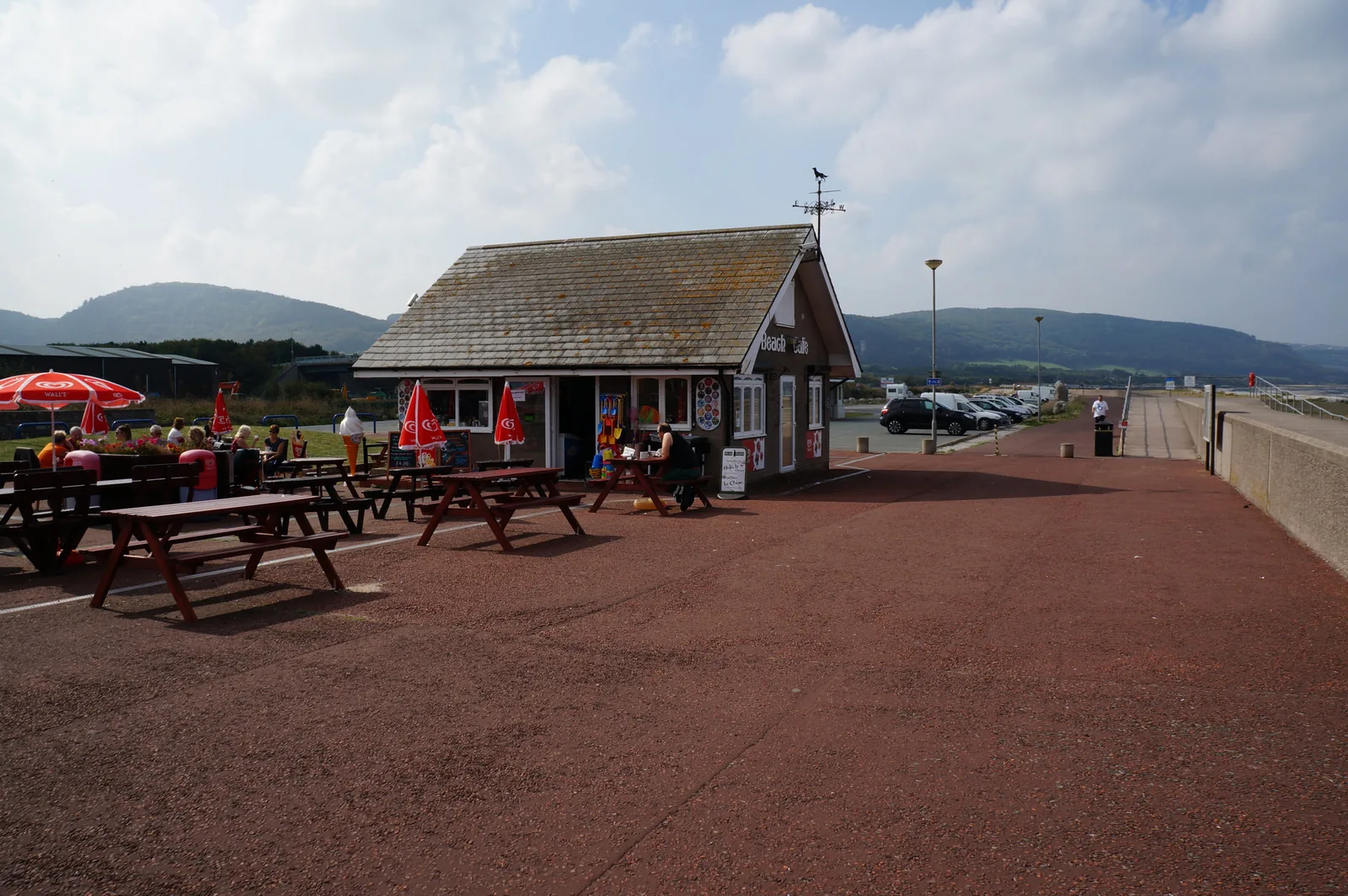
A café, kiosks and amusements along the promenade, busiest through the summer and on fine weekends. Seasons and hours are not published in one place; assume less out of season.
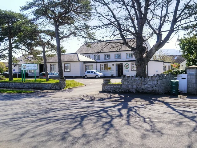
The town hall sits at Pentre Mawr, and the library, the war memorial and the parish church are all within a few minutes of Market Street. None of it is seasonal.
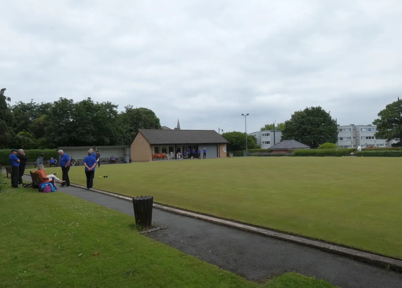
A bowling green, a park with a play area and a perimeter path, and open ground between the two settlements. These are the spaces the town uses rather than the ones it advertises.
The half nobody photographs
A memorial cross, a high street, a station and a library: the things a town needs rather than the things a coast advertises. It is the reason the place still functions in February.
Plan your time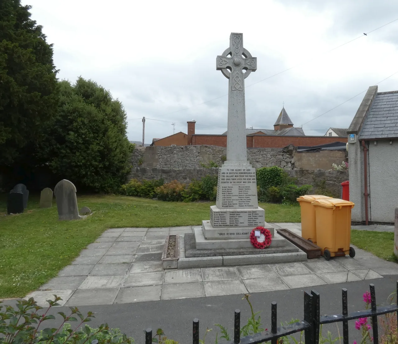
Abergele is the mouth of the Gele: a river name, for a town that ended up known for its beach.
Atlas of Wales
04Plan
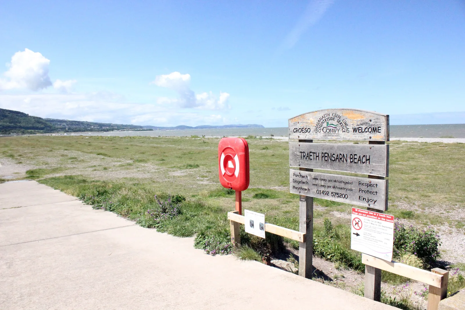
Free parking along the promenade; the station is a few minutes away.
Read the interpretation panels, then keep to the path across it.
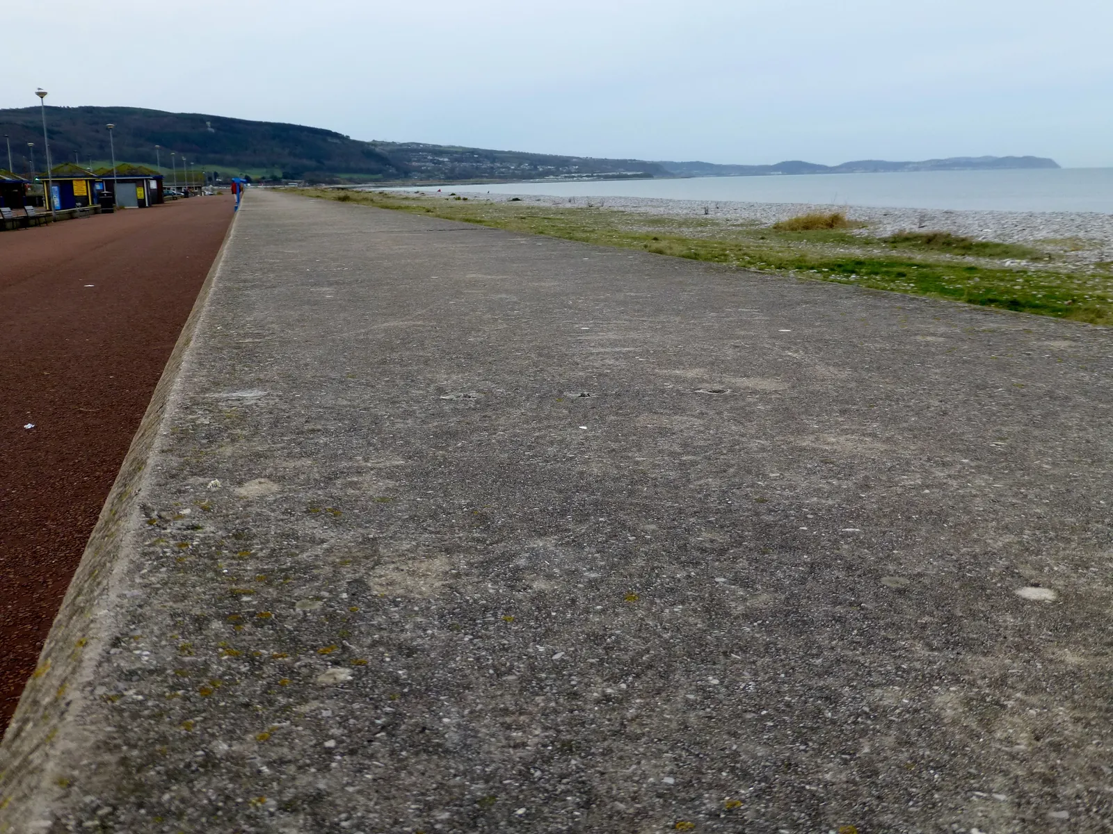
The coast path and the cycle route share the promenade towards Towyn.
West, the rock armour and the view along the bay to the headlands.
The shingle bank first, while the light is on the water.
The sculptures, the pond and the walled garden on the way inland.
The town centre, and somewhere to eat before the climb.
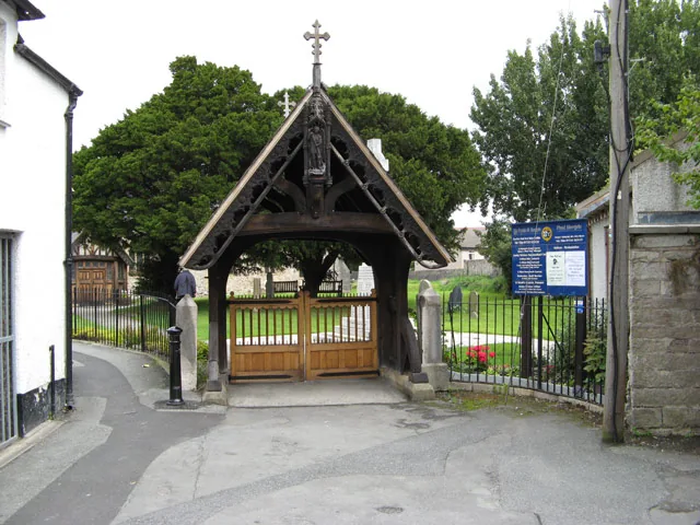
Through the lych gate for the 1868 grave and the older stones.
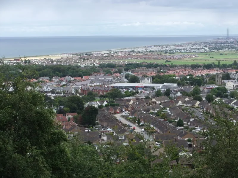
The stoned track to Castell Cawr, and the town laid out below.
Practical
Everything you need for arriving and getting around.
Getting here
Abergele & Pensarn sits on the North Wales Coast Line, about three minutes’ walk from the beach and twenty from the town centre. It is the easiest arrival here by some distance.
Station information and timesLeave the A55 at junction 23A from the west or 24 from the east. Parking here is free — on the Pensarn seafront, and on Water Street and Market Street in the town — with seasonal parking on the shingle itself.
Beach parking and access, Conwy CBCThe coastal service between Llandudno and Rhyl calls at Pensarn. Route numbers and frequencies change; check the current timetable rather than relying on a published figure.
Current timetables, Traveline CymruPractical details
Parking here is free. Abergele Town Council sponsors all three of the council car parks — Pensarn on the seafront, Water Street and Market Street in the town — and there is seasonal parking on the shingle itself. Pensarn Beach has its own car park a little further east, Pentre Mawr Park has one at Pentre Mawr, and Coed y Gopa has a small woodland car park off Tan y Gopa Road for the hillfort.
Abergele car parks (Conwy County Borough Council) Check current beach parking arrangementsWater Street and Pensarn both have a height barrier, and Market Street is short stay. Free parking is sponsored, not permanent — check the signs when you arrive.
Pensarn
Pensarn seafront · largest
Google Maps (opens in a new tab)Pensarn Beach
Pensarn · at the beach
Google Maps (opens in a new tab)Water Street
Town centre · height restriction
Google Maps (opens in a new tab)Pentre Mawr
Pentre Mawr · for the park
Google Maps (opens in a new tab)Market Street
Town centre · short stay
Google Maps (opens in a new tab)Coed y Gopa
Tan y Gopa Road · for the wood and the hillfort
Google Maps (opens in a new tab)Public toilets on Pensarn promenade. The nearest to Coed y Gopa are on Water Street in the town centre.
Promenade facilities, Conwy CBCPensarn promenade · Water Street, Abergele
Water Street needs a RADAR key
The promenade and the park are level and surfaced. The wood is a genuine climb, and only its main track is manageable on wheels.
The shingle itself is loose and unstable underfoot; the surfaced promenade is the accessible route along the shore.
Level and surfaced throughout
North-west entrance suits pushchairs and wheelchairs on a bumpy stoned track; other paths unsurfaced, north-east entrance stepped
Allowed on leads at Pensarn, with a seasonal exclusion zone on part of the beach. Welcome in Coed y Gopa under the Woodland Trust’s guidance.
The exclusion runs between the wooden bollards by the café and the concrete bollards to the west. Its dates are not published on that page; check with the council before you travel.
The bollards are the boundary markers, not a sign; look for them before letting a dog off the promenade.
Pentre Mawr Park has a play area, a pond with a viewing platform and a perimeter path; the promenade is flat enough for scooters and bikes.
Park facilities, Conwy CBCThe promenade and the park · both level, both free
Above the tideline the beach is loose shingle, not sand; hard going for small legs and buggies
The shore, the park and the town are one continuous level walk. Only Coed y Gopa is worth moving the car for.
Abergele is a stop on a longer coast
Four real Atlas destinations pair with an Abergele visit; distances are straight-line from the town centre, not driving times.
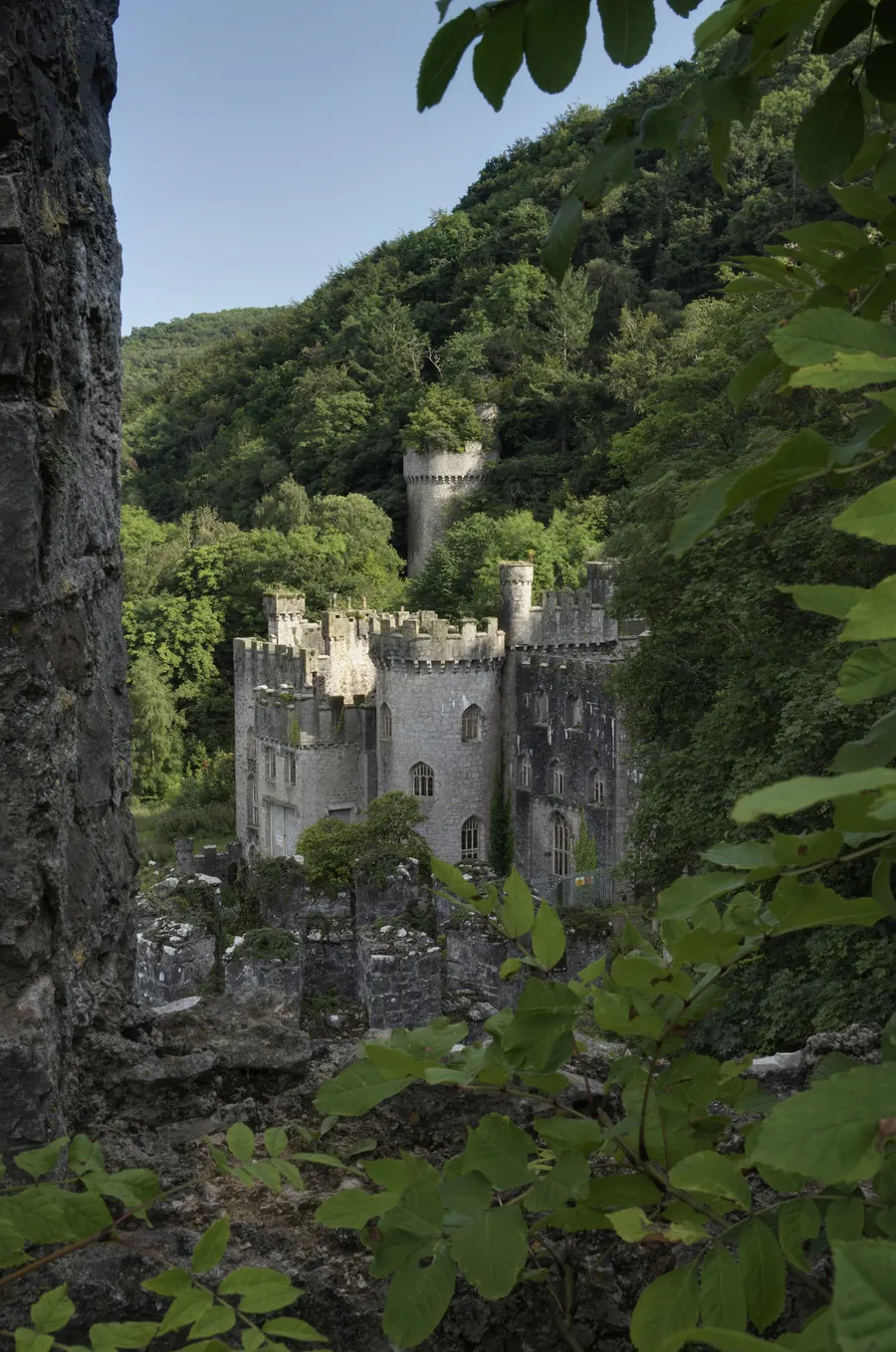
The pale line on the skyline from Pensarn beach, close enough to walk to: a Gothic Revival ruin on the hillside, being pulled back from collapse a wall at a time.
About 1.0 miles west (straight-line)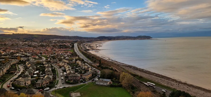
The same coast, done at resort scale: a rebuilt seafront, a proper sandy beach and the town Abergele sends itself to for a bigger day out.
About 5.9 miles west (straight-line)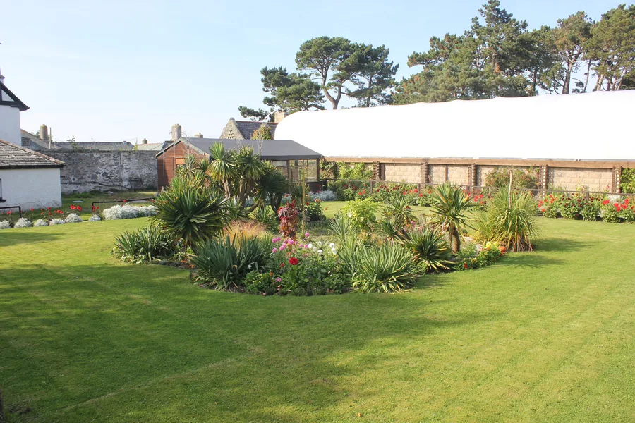
A hillside zoo and garden above the next bay west: the obvious wet-weather answer when a shingle beach stops being a good idea.
About 6.8 miles west (straight-line)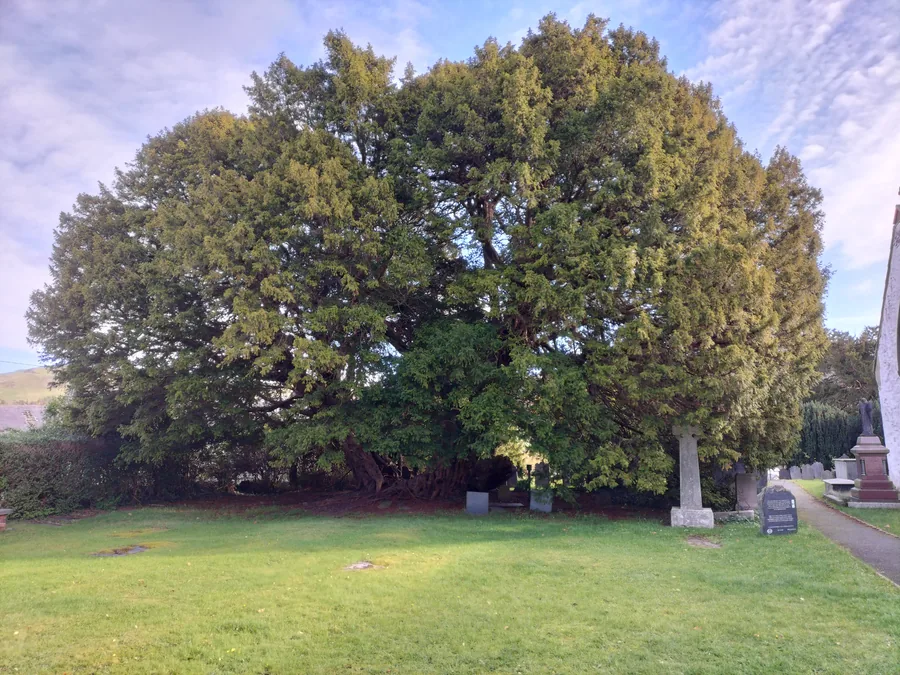
Inland from the coast road, a village built around a yew that was already old when the church beside it was new: the quiet counterweight to a seafront day.
About 7.7 miles south-west (straight-line)Before you go
The shore, the park and the hill are all within a mile of that turning, and all of them are free.