Conwy · Eryri · Mountain

Pen Llithrig y WrachCarneddau · 799 m

The slippery hill of the witch: fifteen minutes from Capel Curig, and usually empty. Both ways up start in bog.

The Carneddau's overlooked corner: a 799 m summit standing over the deepest lake in north Wales, with two documented routes from one free car park, and, most days, nobody else on it.

Height
799 m
Ways up
Two from Capel Curig · not interchangeable
Commitment
A full mountain day · about 6½ hrs
Terrain
Bog, grass and a ford, then steep open hillside
Exposure & navigation
Unsheltered throughout · difficult in cloud

Choose your route

Two ways up. One of them has no path down.

There is no Eryri National Park route page for this mountain. Both lines below are real, documented walks from the same car park in Capel Curig, assembled from independent route guides rather than an official register. Pick one and the board redraws to it.

Ways up

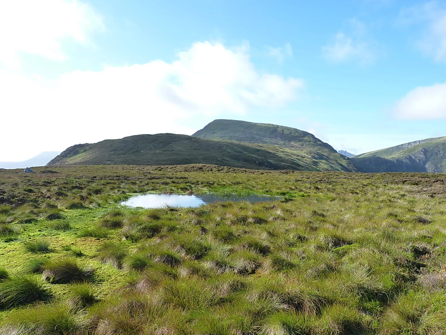
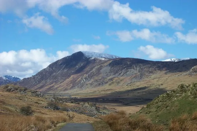
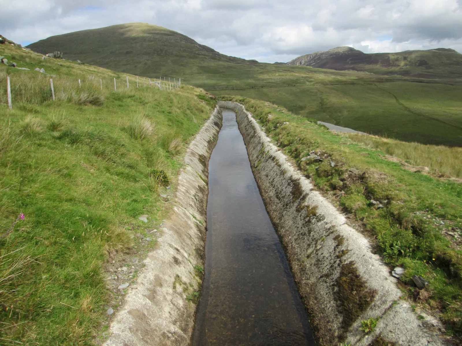
The stone-lined water leat on Pen yr Helgi Du, running toward the grassy dome of Pen Llithrig y Wrach
Your line

Illustrative route sequence · not distance, height, gradient or time

  1. 1
    Capel Curig car parkThe National Park car park in the village: free, open 24 hours.
  2. 2
    A kilometre of the A5On foot along the road to the marked footpath just past the house called Bron Heulog.
  3. 3
    The moorland riseOpen ground with the Glyderau opposite. Take care staying on line in mist.
  4. 4
    The footbridge near Maen TrichwmwdWhere the Llyn Cowlyd path splits right. Straight on for the summit.
  5. 5
    The summit cairn799 m and bare, with Llyn Cowlyd dropping away below the eastern edge.
  6. 6
    Pen yr Helgi Du, and downThe second summit, then the day's most careful ground. Steep and loose in places.

Two independent walking publishers describe this same circular and agree on its distance, its time and its Hard grade. They differ on total ascent, so it is given here as a range rather than a single figure.

Illustrative route sequence · not distance, height, gradient or time

  1. 1
    Capel Curig car parkThe same start as the horseshoe: free, open 24 hours.
  2. 2
    The A5 toward OgwenAbout a kilometre on foot before the footpath sign on the right.
  3. 3
    Bog, and a stream to fordThe lower ground is wet and the path intermittent. The crossing can be dangerous in spate.
  4. 4
    Steep grass, and false summitsMore than one rise that looks like the top and isn't.
  5. 5
    The summit cairnBare ground, a rough cairn, and the lake below you to the east.
  6. 6
    Clogwyn Du · pathlessA clear line runs north-east off the top, then the ground turns heathery and craggy with nothing marked. This is the hardest navigation of the day.

One specialist publisher documents this circuit in full. Because no second source describes the same line, this guide gives its character and its hazards but publishes no distance, ascent, duration or grade for it.

Practical brief

Your route in practice:

Two summits and a long return, from the village car park.

Start point
Eryri National Park car park, Capel Curig; then about a kilometre on foot along the A5.
Parking / booking
No booking anywhere except Pen y Pass. This car park is free and open around the clock; the only real constraint is how early the village fills.
Public transport
The TrawsCymru T10 calls at Capel Curig. Sherpa'r Wyddfa does not serve the village.
Facilities
Nothing on the route, and Capel Curig is not on Conwy council's public-toilets list. Carry water.
Return / descent
Over Pen yr Helgi Du and down its steep, loose flank. No alternative escape has been verified for this guide. If you don't continue, reverse the way you came.
Avoid this route if
You're not happy descending steep, loose ground at the end of a long day, or the cloud is low enough to make the moorland section guesswork.

The same start, a wilder second half, and no path off the top.

Start point
Eryri National Park car park, Capel Curig; then the A5 toward Ogwen before the footpath.
Parking / booking
Same car park as the horseshoe: free, 24 hours, no booking.
Public transport
The TrawsCymru T10 calls at Capel Curig. It is a timetabled roadside service, not a way off the mountain.
Facilities
None: not at the start, not at the lake, not anywhere on the circuit.
Return / descent
Down Clogwyn Du with no path, then quarry tracks and the Llyn Cowlyd shore. No alternative escape has been verified for this guide.
Avoid this route if
You can't navigate confidently without a path — the descent doesn't have one — or the stream is running high.

Checked 1 August 2026 against Eryri National Park Authority, TrawsCymru and independent route guides. Confirm current parking, transport and ground conditions before you go.

Before you go

Need the exact mountain details?

Parking, transport, dogs, the routes, weather and emergency — checked before you go.

Parking & booking

Both routes start from the same place: the Eryri National Park car park in Capel Curig, which the Authority lists as free and open 24 hours. There is no booking system; in the whole national park, only Pen y Pass requires one. Open the car park in Google Maps (opens in a new tab). The coordinate is the Authority’s own for this car park.

The village sits at the junction of the A5 and the A4086 and gets busy early on a good weekend, so the practical constraint is arrival time rather than cost. Both routes then walk about a kilometre of the A5 before leaving the road.

Two other starts are in published use, neither detailed as a full route here. From the east, the small free parking area at the road end above Llyn Eigiau (grid ref SH731662) is the start go4awalk uses for four of its walks over this summit: a narrow gated lane up from Tal-y-Bont in the Conwy Valley, and a much longer way in. Open parking area (opens in a new tab). From the A5, the layby and campsite car park at Gwern Gof Isaf (grid ref SH685602) give the western approach past Ffynnon Llugwy. That car park is private and charged; the campsite takes payment at reception, and rates were not confirmed for this guide, so check on arrival. Open parking area (opens in a new tab).

Details from Eryri National Park Authority: Parking in Eryri (opens in a new tab), checked 1 August 2026.

Public transport

The TrawsCymru T10 (opens in a new tab) runs Bangor to Corwen via Betws-y-Coed and calls at Capel Curig, between Llyn Ogwen and the Swallow Falls Hotel. Check the current timetable before you travel; frequency changes with the season.

Sherpa'r Wyddfa does not serve Capel Curig; its published routes run between Bangor, Llanberis, Pen y Pass and the Nantlle side. Do not plan around it here.

Toilets, food & water

Capel Curig does not appear on Conwy County Borough Council's current public-toilets list, and there is nothing on either route: no toilets, no shelter, no water. The village has businesses that come and go with the season; this guide does not track their opening. Fill up before you leave the car.

Dogs & livestock

Dogs must be on a lead of no more than 2 metres on Open Access Land between 1 March and 31 July, and under close control near livestock at all other times. The Carneddau range is grazed by sheep and by the semi-feral Carneddau ponies, a genetically distinct population confirmed by DNA work in 2013. No pony-specific rule is published; treat them as livestock and give them room. Wild camping needs the landowner's permission anywhere in Eryri.

Routes & approach differences

The two routes share their start, their first kilometre of road, and their climb. They part at the footbridge near Maen Trichwmwd. The horseshoe stays high, adds Pen yr Helgi Du, and comes down a steep, loose flank; the Cowlyd circuit leaves the summit north-east down Clogwyn Du, where there is no path at all, and returns the long way round the lake.

No Eryri National Park route page exists for this mountain, so both lines here are inferred, assembled from independent walking-route guides rather than an official register. Wikipedia also records approaches from Dolgarrog and Tal-y-bont on the north-eastern side, in the Conwy valley; that side has not been researched for this guide and is not described here.
Weather, visibility & winter conditions

There is no shelter anywhere on either route. The mountain is a broad, grassy dome with few features to steer by, and both route descriptions warn about staying on line when the cloud comes down; navigation, not steepness, is what makes a bad day here.

No official mandatory-equipment requirement is published for this mountain, in winter or otherwise. What that means is that this guide has nothing official to pass on, not that snow and ice on 799 m of open Carneddau hillside are anything less than winter conditions.

Descent planning & route mistakes

Decide your way down before you leave the cairn. The Cowlyd descent is the one that catches people: a clear path runs north-east off the summit and then simply stops, leaving heather, crag and a sheepfold that isn't on the map between you and the lake. The horseshoe's own sting comes later, on Pen yr Helgi Du's steep, loose flank, after six hours of walking.

No alternative escape has been verified for this guide on either line. If the weather turns partway up, the answer is to reverse the way you came.

Emergency & what not to rely on

Dial 999 or 112 and ask for Police, then Mountain Rescue (emergencySMS also works if you registered in advance). Ogwen Valley Mountain Rescue Organisation covers Tryfan, the Glyderau and the Carneddau. The T10 runs to a timetable, at the roadside; it is not a rescue plan and not a descent plan.

Accessibility & realistic limitations

There is no step-free route to this summit. Both documented lines cross bog, a stream ford and steep open hillside, and neither is waymarked. This is not a first mountain, not a family walk, and not a short one; it is a full day on ground where you are responsible for finding your own way.

Specific to this mountain

Llyn Cowlyd, below the eastern edge

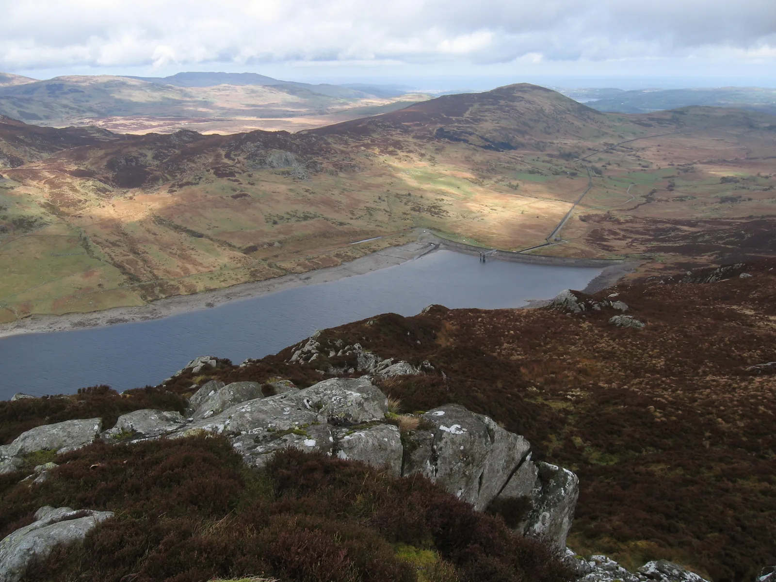
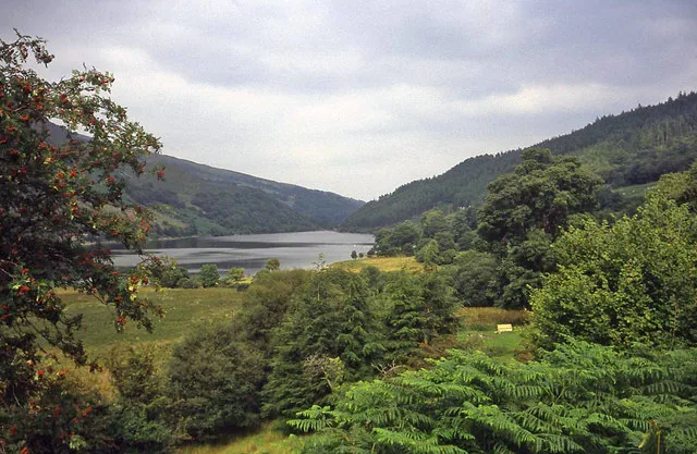
The lake the mountain drops into is the deepest in north Wales: three kilometres long, up to 400 metres wide, with a mean depth of 33 metres and soundings to 70. About fourteen of those metres are not natural: the surface was raised by damming, first with an earthwork in 1897 and then by the present rock-and-earth dam, finished in 1921 and opened on 20 September 1922.

It was bought for £55,000 by a joint water board formed in 1891 to supply Conwy and Colwyn Bay through some forty miles of pipe, and from 1925 a further pipeline carried its water down to the aluminium works at Dolgarrog. The quarry tracks the Cowlyd circuit descends to are part of that same working landscape.

The name, and what it might mean

Pen Llithrig y Wrach translates as the slippery hill, or slippery peak, of the witch. Two explanations circulate and neither is settled: the bog underfoot, which both route descriptions independently complain about, or the resemblance of the mountain's profile from certain angles to a witch's hat. Wikipedia offers both without choosing between them, and so does this guide.

Sourced from Eryri National Park Authority, TrawsCymru, Conwy County Borough Council, Ogwen Valley Mountain Rescue Organisation, the Met Office and independent route guides, checked 1 August 2026.

The reckoning

Now: is today the day?

You've seen the two lines. The last question is visibility, because on a broad grassy dome with almost nothing to steer by, cloud is a hazard rather than a disappointment.

The Met Office link is a location forecast that happens to be named for this mountain; it carries no altitude bands and no freezing level. MWIS is a regional mountain forecast for Eryri. Read both, and read them as inputs: neither replaces your own judgement about wind, cloud, visibility, snow and ice at 799 metres.

  • Read the mountain, not the village

    Capel Curig is one of the wettest recording stations in the UK, and it sits 600 metres below the cairn. Whatever the village is doing, the top is doing something colder, windier and wetter.

  • There is nowhere to shelter

    Both routes are open and unsheltered from the moment they leave the road. There is no wall, no cwm, no col to duck into if the wind gets up.

  • Navigate before you need to

    One route warns about holding your line in mist; the other's descent has no path at all. Both are straightforward in clear air and genuinely serious in cloud.

Treat snow and ice as winter conditions. No official winter-equipment requirement is published for this mountain, so this guide has none to give you, which is not the same as the ground being easy. Frozen grass on a steep, pathless descent is a winter problem whatever the calendar says.

Good fit for

  • Walkers who want a 799 m summit with a real chance of having it to themselves
  • Anyone confident with a map and compass when the ground gives no help
  • People who like a mountain with a story underneath it rather than a queue on it

Think twice if

  • You want a path the whole way round; one of these routes hasn't got one
  • The cloud is down; both lines are navigational rather than technical
  • You need toilets, food or water on the way, because there are none

The summit

What the bog buys you.

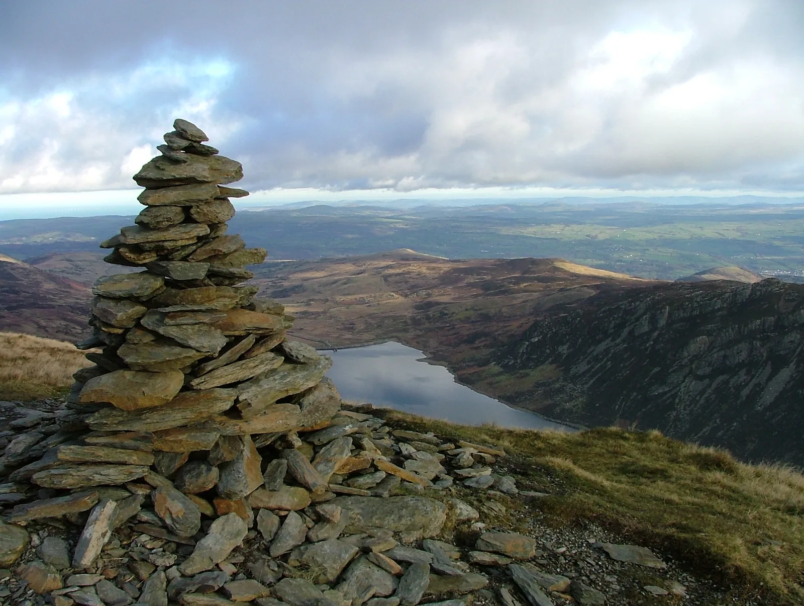
Nothing about the walk up prepares you for the edge. The mountain climbs as a rounded, unremarkable dome and then simply stops, and the ground falls away to a lake nobody can see from the road.

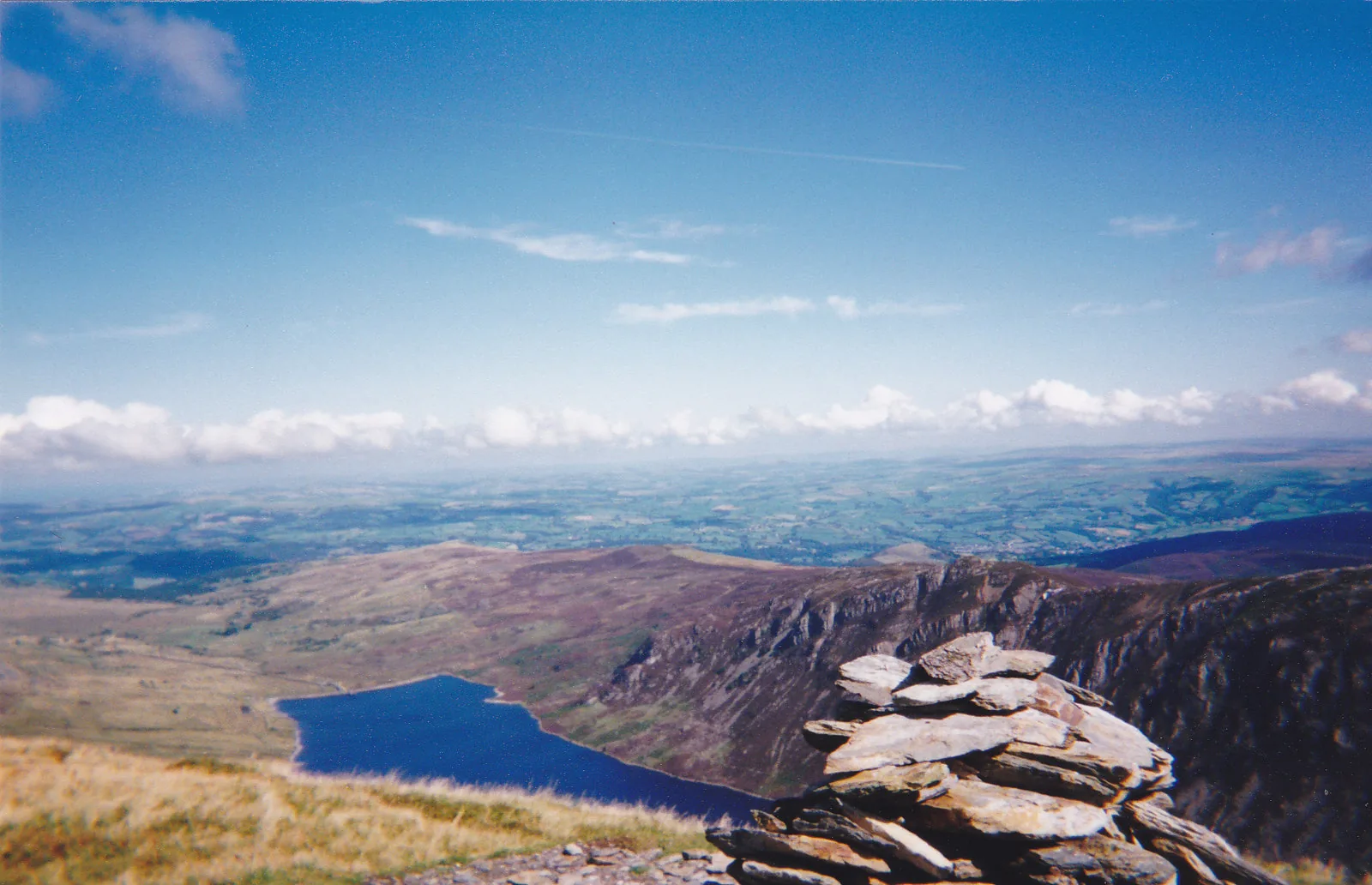
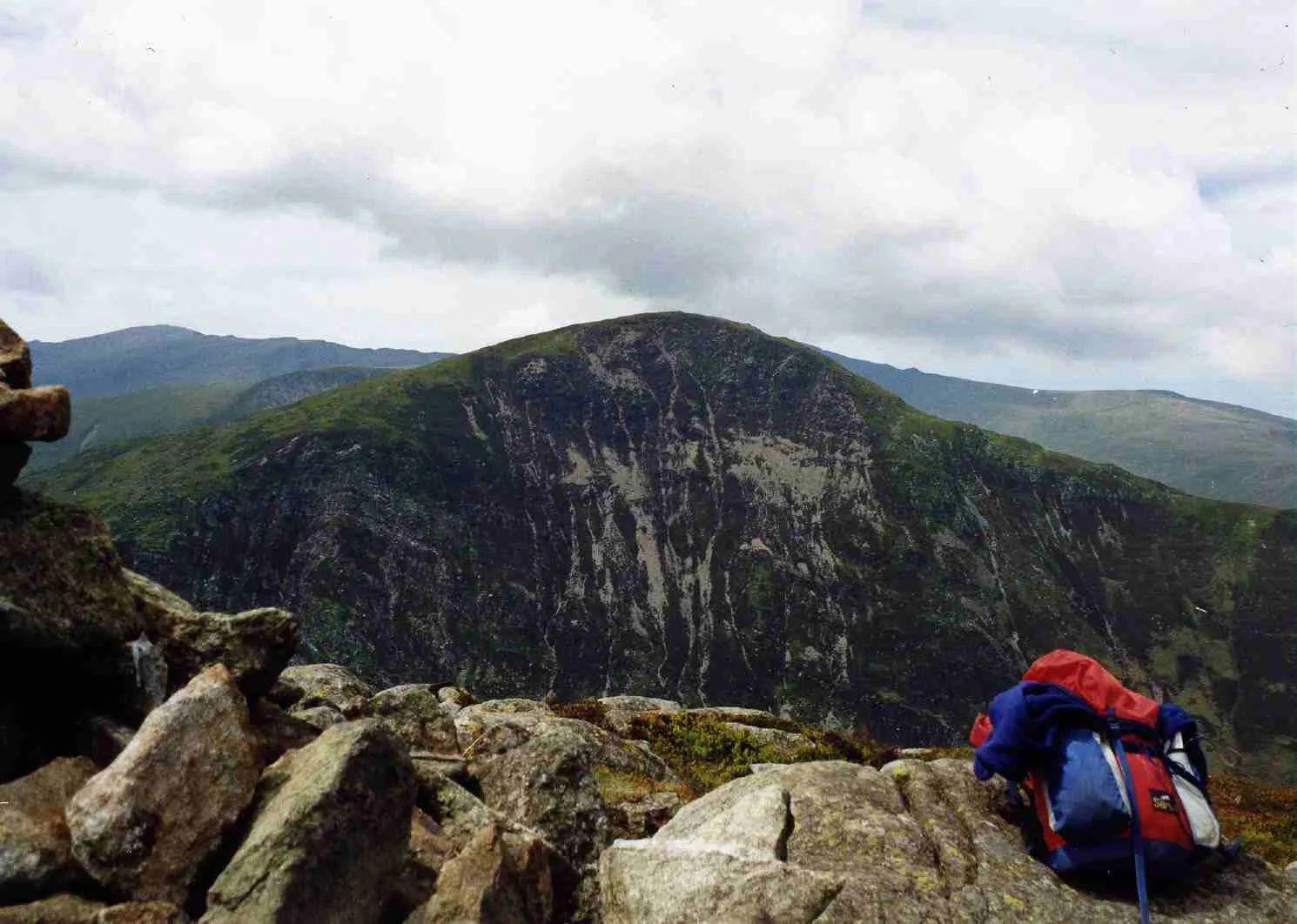
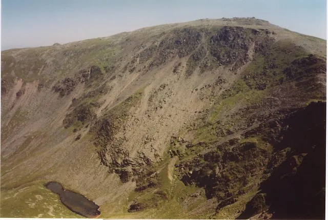
The summit cairn of Pen Llithrig y Wrach in the foreground, with Llyn Cowlyd and its crag-lined eastern shore below and the coastal plain beyond
Summit of Pen Llithrig y Wrach

The marker

A cairn, and nothing else

Both hill records name the summit feature as a cairn, and that is all there is: a loose stack of slate on bare, stony ground. No trig pillar, no shelter, no wall. It is the only built thing you will pass all day above the road.

The edge

The ground drops to the lake

The eastern side falls steeply and immediately to Llyn Cowlyd, running away between crag walls. It is the mountain's one piece of real drama, and it arrives without warning: you walk up a grass slope and find yourself on the lip of it.

Why it feels bigger

The corner of 220 square kilometres

This is the southern corner of the largest unbroken upland in the national park, with the Glyderau immediately opposite across the A5. A 799 m hill does not usually buy a view like that; this one is standing in the right place.

The way down

Before you leave the cairn.

Both routes save their hardest ground for the second half. Decide which one you're on before you start walking away from the top.

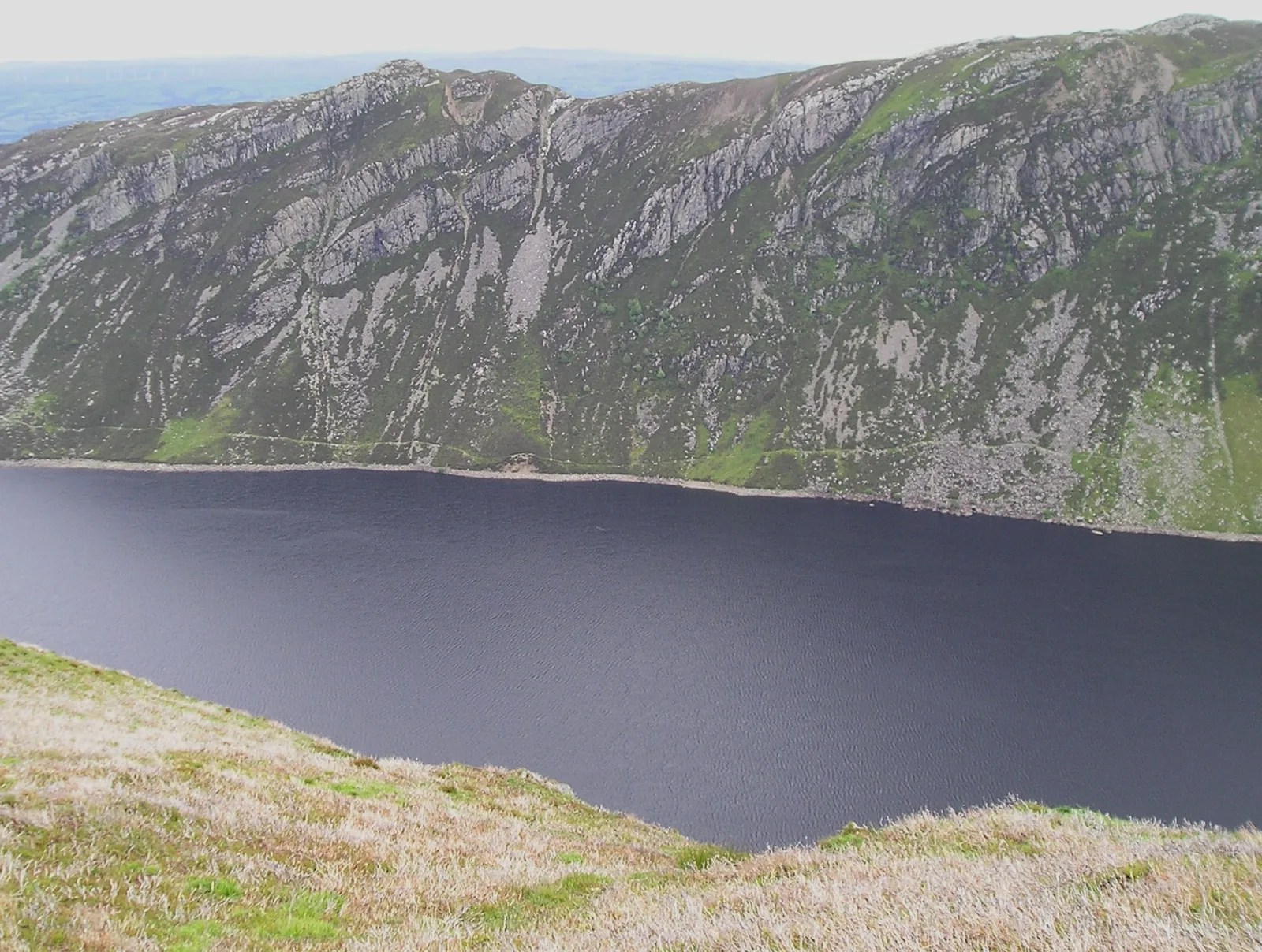
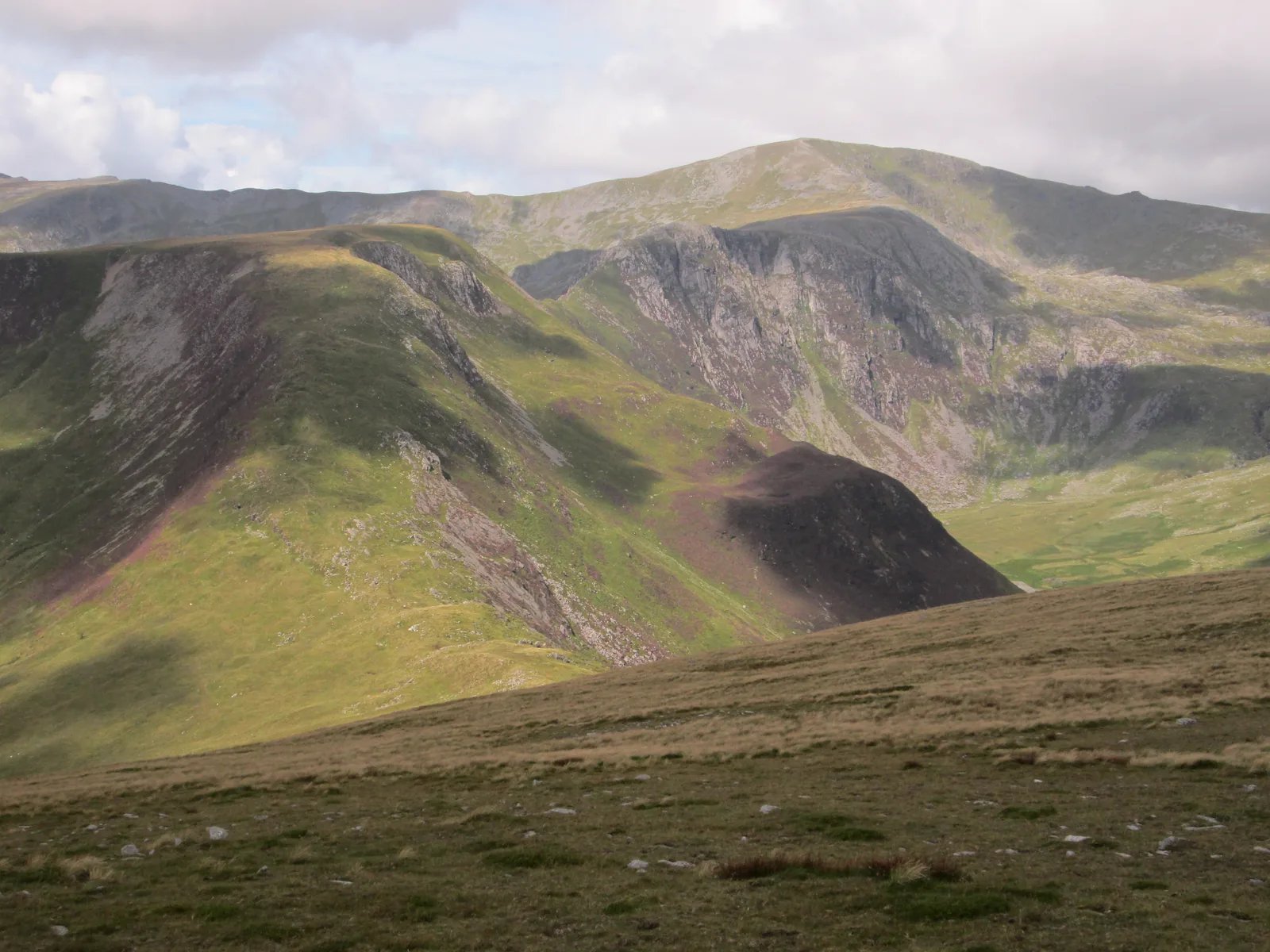
The Carneddau ridges seen from the descent off Pen Llithrig y Wrach, steep grass falling away in the foreground
Summit noticeboard
1

The Cowlyd descent has no path

A clear line runs north-east off the summit, then stops. Heather, crag and a sheepfold that isn't on the map lie between you and the lake.

  • Only take this line if you can navigate without one.
  • Fix your bearing at the cairn, not halfway down.
Navigate or don't go
2

Steep and loose, six hours in

The horseshoe's descent off Pen yr Helgi Du is the day's most careful ground, and it comes when your legs are already done.

  • Keep something in reserve for the last hour.
  • Take the loose sections one at a time.
Save something for it
3

No escape has been verified

This guide has found no alternative descent it can vouch for on either line. That is the scope of the guide, not a survey of the mountain.

  • Plan to reverse your route if the weather turns.
  • Don't improvise a way off unfamiliar ground.
Reverse, don't improvise
4

The bus is not a descent plan

The T10 runs to a timetable, at the roadside in Capel Curig. Not partway up the mountain, and not when you need it.

  • Plan your own way down, on foot, in full.
  • Don't rely on a bus, signal, or luck.
Plan, don't rely

Back in the valley.

Everything here is within a few minutes of where you parked. These are the places around it.

On the Atlas

Continue from Pen Llithrig y Wrach.

South-eastern Carneddau, above Llyn Cowlyd and the A5 at Capel Curig.

Open Pen Llithrig y Wrach on the map

Continue exploring

The false summits end.Pen Llithrig y Wrach keeps its distance.

A big hill above the deepest lake in north Wales, and most days nobody else on it.