Cloth coming off a river
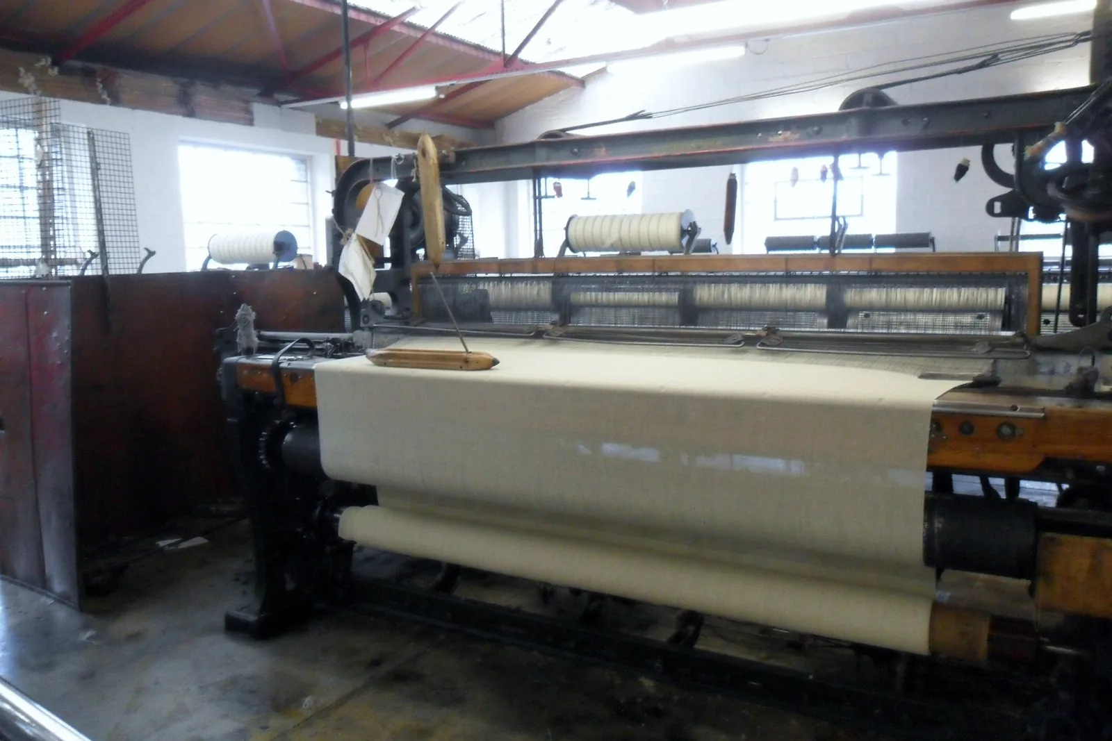
Water off the hills behind the village turns a turbine, the turbine drives the shed, and the shed is open to anyone who walks in.
Conwy · the Conwy valley
The Crafnant comes off the hill and drops through the middle of the village. It has been turning cloth here since the fifteenth century, and it still is.
01The village
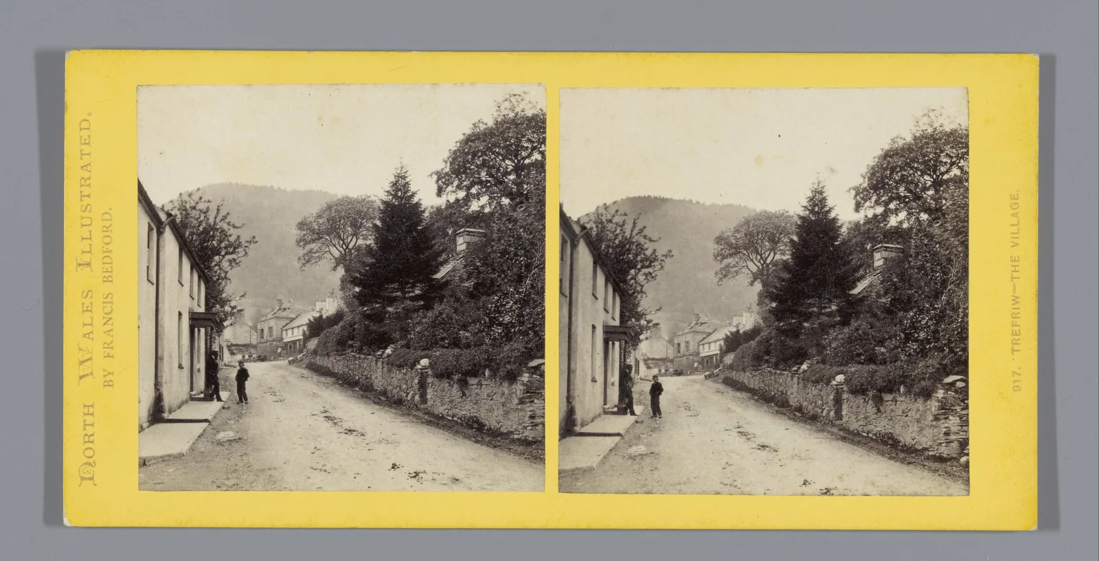
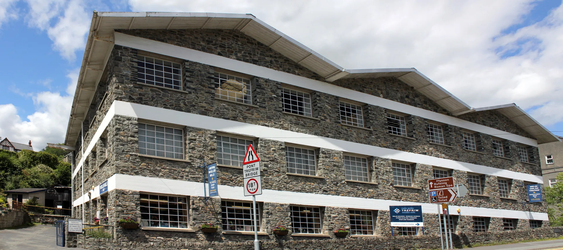
Everything sits along four hundred metres of one road at the foot of a wooded slope. The mill is the big stone building you arrive at; the war memorial, the pub and the bridge over the Crafnant are a minute further on, and the church path climbs off the road a little beyond that. Houses rise behind in short terraces. The river Conwy itself lies out in the flat fields to the east, out of sight.
The rest of this valley offers you scenery. Trefriw offers you a process. You can stand in a shed on the main road and watch cloth being woven on machinery a river is turning, for nothing, on an ordinary Tuesday.
Character
About 1,200 people, a school, shops, pubs and a mill that is a business rather than an exhibit. Visitors are served here, but nothing has been rebuilt around them.
Pace
The mill, the bridge and the church sit within four hundred metres. The falls are five to fifteen minutes up a footpath. The old church on the hill is a mile and a half and about two hundred metres of ascent.
Landscape
The Afon Crafnant falls out of its own valley here and joins the Conwy. Gwydir Forest and the two lakes lie above and west, inside Eryri National Park; the valley floor opens away north.
Best for
Best for a wet afternoon, for anyone who likes seeing how a thing is made, and for walkers starting up the road towards Llyn Crafnant and Llyn Geirionydd.
02Discover
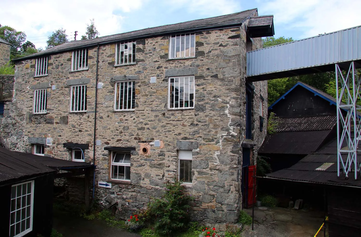
Water off the hills behind the village turns a turbine, the turbine drives the shed, and the shed is open to anyone who walks in.
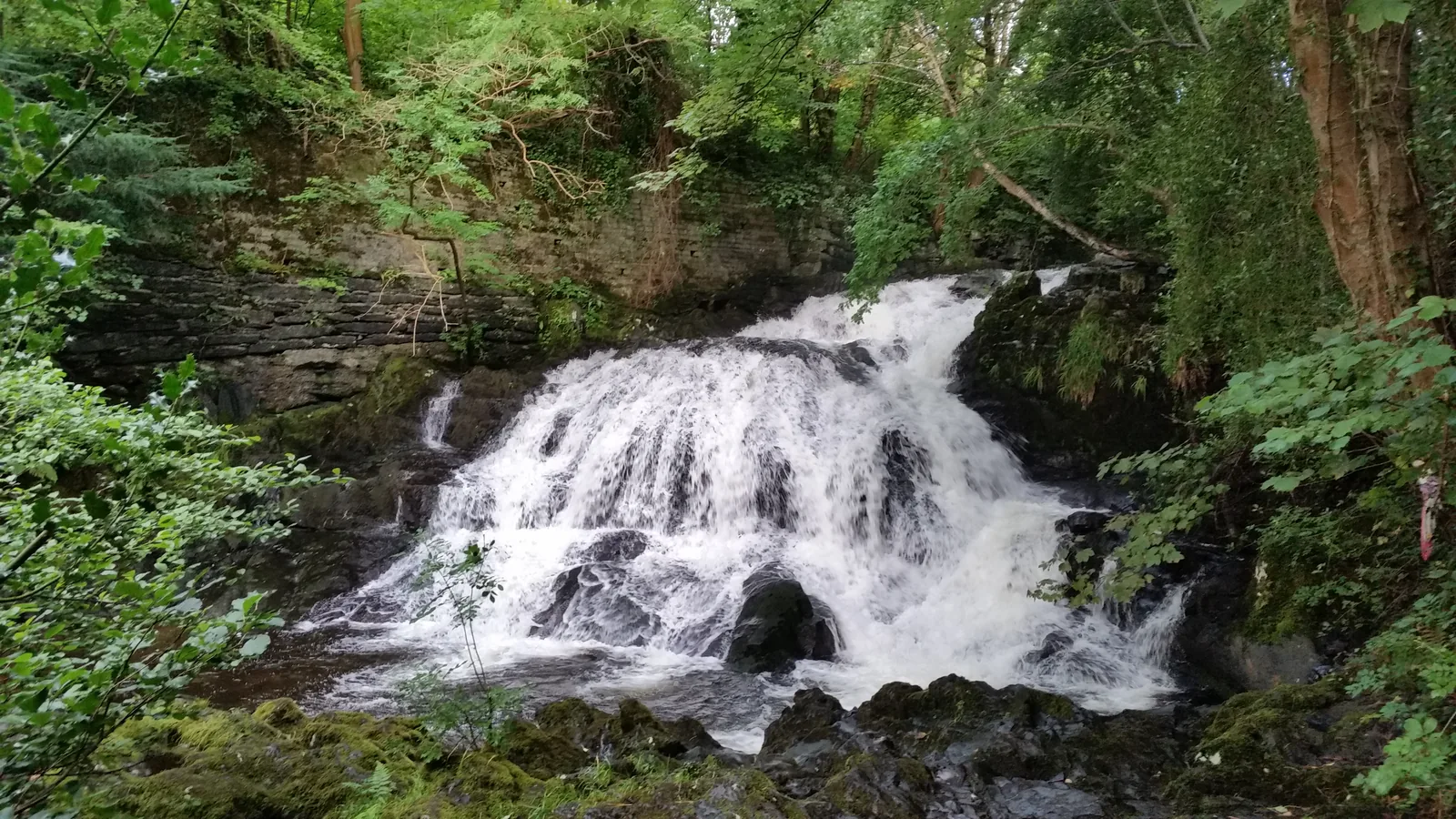
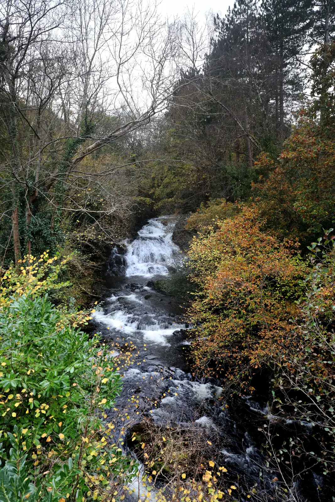
A signed path leaves the main road, climbs behind the houses, and puts you beside the same river a few minutes later, in full flow.
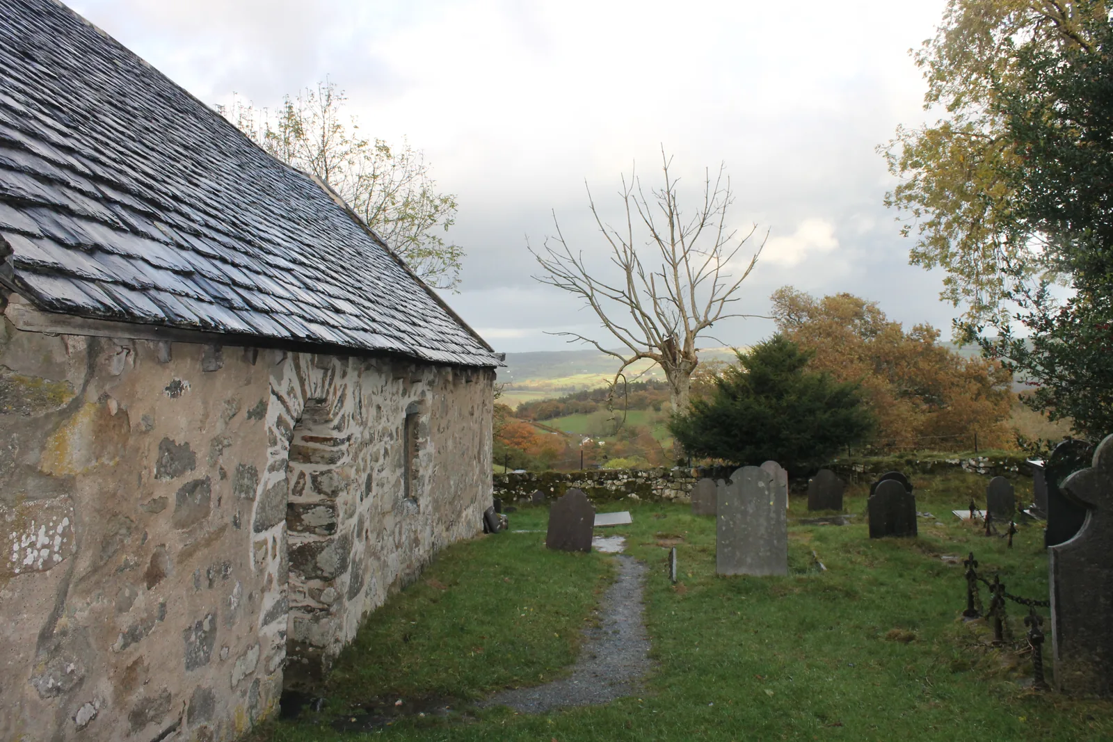
A prince’s wife found the climb to this one too much, so he endowed another on the valley floor. Both are still standing.
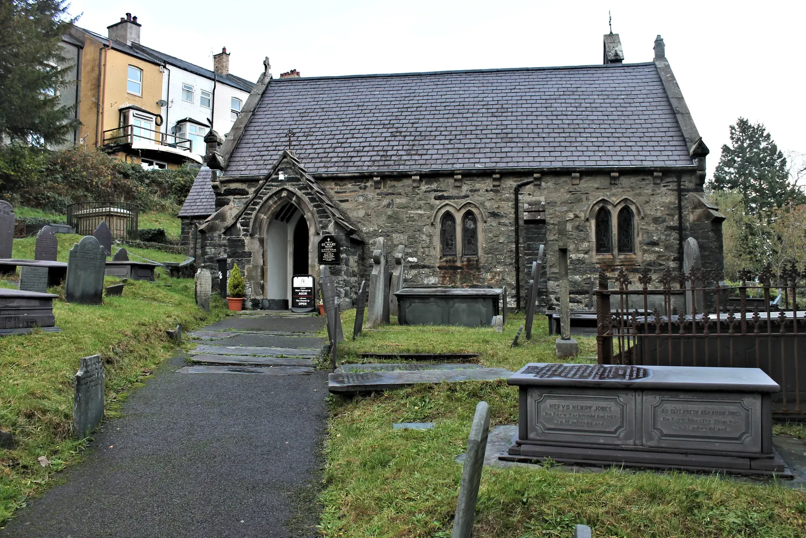
The church the prince endowed in its place, set back on its own shelf above the road, a short walk north of the mill.
Beyond the first defining moments, the fuller Trefriw catalogue continues below.
One road along the foot of the slope. Three of the four points are within four hundred metres of the mill; the fourth is up on the hill above the village, and it is a climb.
 No verified image yet
Trefriw Woollen Mills
On the main road in the centre. The bus from Conwy stops opposite the door.
Four entries: a working mill, a Grade II* church, a waterfall on a footpath, and a church on the hill above that predates all of them. Pubs, cafés and shops are not listed here; see Local life for the village’s everyday character.
Working mill · free to look round
Welsh tapestry cloth still woven on the machinery a river turns, in a shed you can walk into off the main road. Closed on Sundays.
Check the mill’s opening hours (opens in a new tab)Grade II* church
A double-aisled parish church on a shelf above the road, endowed by a prince to spare his wife a climb, and rebuilt twice since.
Check opening and access (opens in a new tab)Waterfall on a public footpath
The same water that drives the mill, coming down white over rock a few minutes above the houses. Steep, uneven ground in places.
Medieval church on the hill
A squat double-naved church on high ground with medieval glass still in its windows, and the reason the village church below exists at all.
Check access and parking (opens in a new tab)Only one of these four keeps hours, and it is the one most people come for. The mill trades Monday to Saturday and closes on winter bank holidays, so a Sunday visit to Trefriw is a village, a waterfall and two churchyards, still worth the stop, but not the same one. Confirm before you plan a day around it.
Trefriw Woollen Mills: visiting and opening03Story
Wool, iron, lead and a thousand day-trippers: four different industries, and all of them arrived or left along the same rivers.
The oldest surviving fabric in this parish is not in the village. St Rhychwyn’s, up on the hill to the south-west, has work from the late eleventh century on a site tradition puts back to the sixth. Llywelyn Fawr kept a lodge at Trefriw and worshipped up there with Joan; the story is that she tired of the climb, and about 1230 he endowed a church on the valley floor. Nothing of that date survives at St Mary’s; the building you see is late medieval, and restored again in the 1850s.
A quay was working here by 1622, taking lead ore downstream to Beaumaris for carriage on by sea. The Conwy is tidal as far up as Llanrwst, and Trefriw stood at the head of navigation, which in the nineteenth century made it the largest inland port in Wales. There is nothing to see now but a grass bank; the river silted, and the boats stopped coming.
Cloth has been finished on this stretch of the Crafnant since the fifteenth century, when a fulling mill stood here. A new mill, the Vale of Conwy Woollen Mill, went up in 1820, but the enterprise that survives begins in 1859, when Thomas Williams bought it. His descendants still own it, and the river still turns the machinery.
A mile north of the village, chalybeate springs were developed from about 1700, and Lord Willoughby de Eresby built a bath house over them in 1743. The story locals tell is that soldiers of the Twentieth Legion at Canovium found them first; no excavation record has been published to settle it. What is certain is how the Victorians arrived. Paddle steamers began running up the Conwy in 1847, and at the height of the trade they were putting over a thousand passengers a day onto Trefriw quay.
The steamers stopped in 1939 and never properly restarted; siltation prevents cruise boats reaching Trefriw at all. The spa site was bought by Nelsons in 2003 and bottles its water as a mineral supplement, a working plant, with no visitor access. The mill still weaves, the falls still run, and the road up to the lakes still fills with cars on a fine morning.
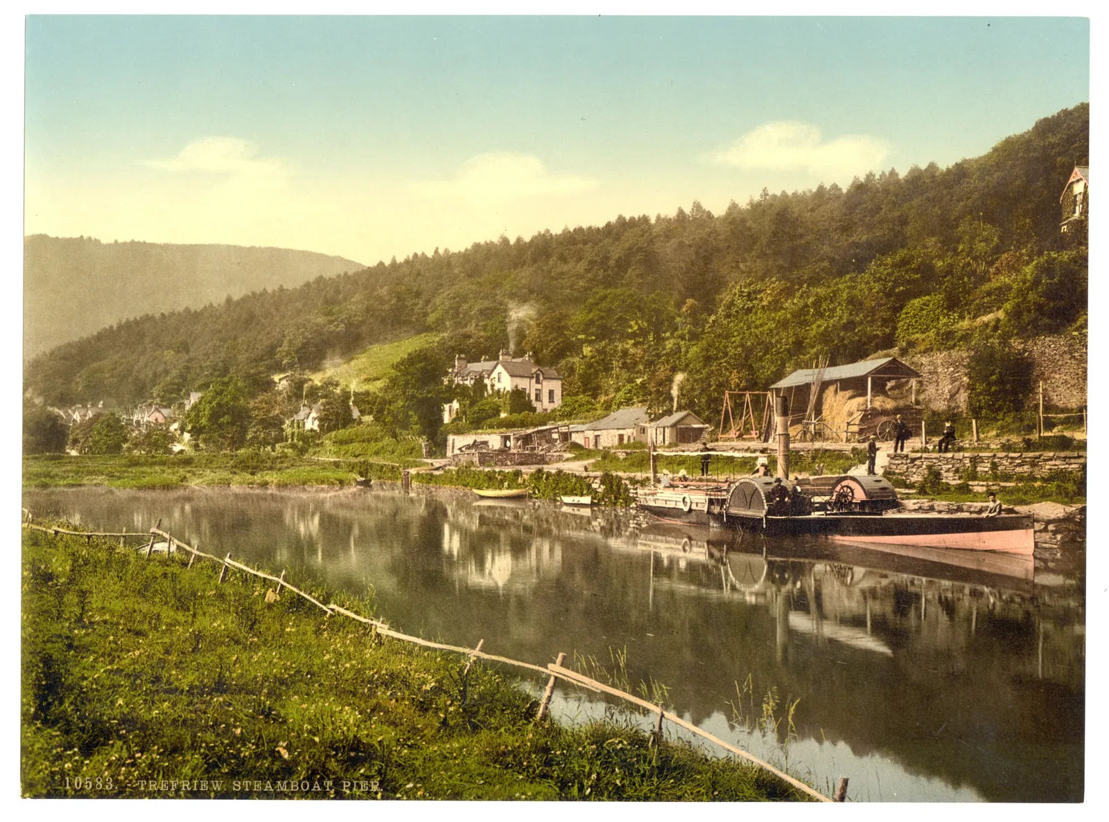
Five steamers on the river, and over a thousand people a day stepping off onto a bank that is now grass.
Trefriw quay, before 1939
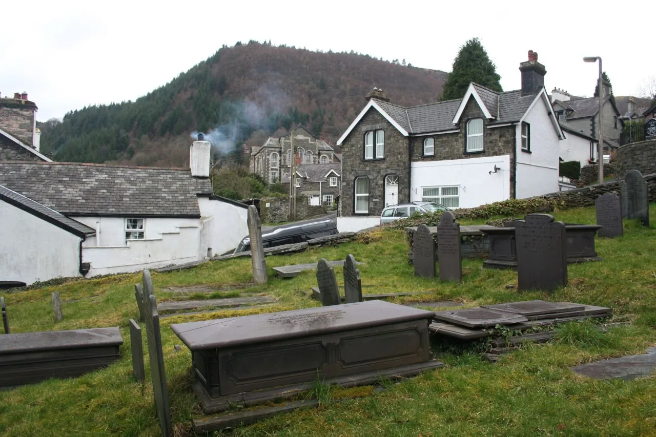
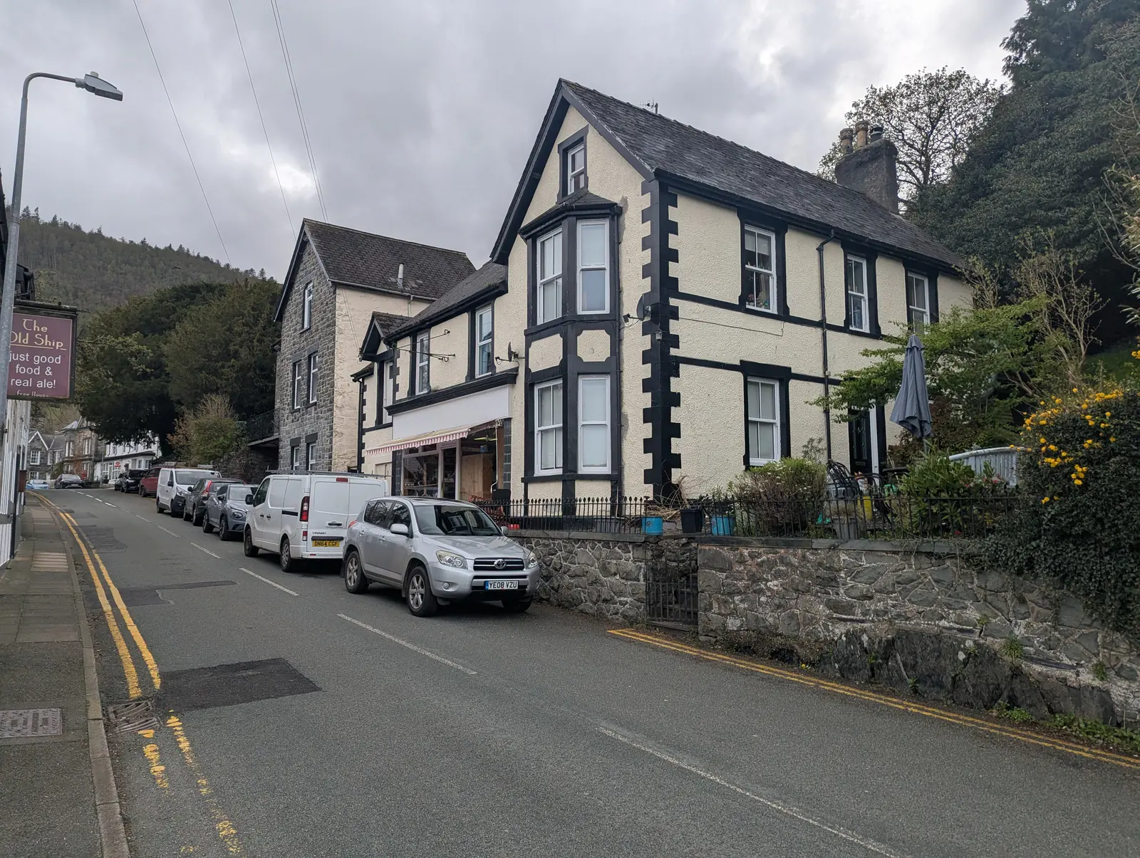
Trefriw is about twelve hundred people living on the side of a hill. The main road carries the shops, the pubs and the mill; behind them the houses go up in terraces, and above the terraces the lanes turn into forest tracks. Two chapels and a parish church stand within a few hundred metres of each other, which tells you what size the village used to be.
It is not a place that has been rearranged for visitors. Cars come through on the way to the lakes, walkers come through on the way to the hills, and the village carries on either side of them.
The mill has a shop and a weaving shed, but no tearoom; it says so itself. If you want to sit down with something, do it in the village before you go in.
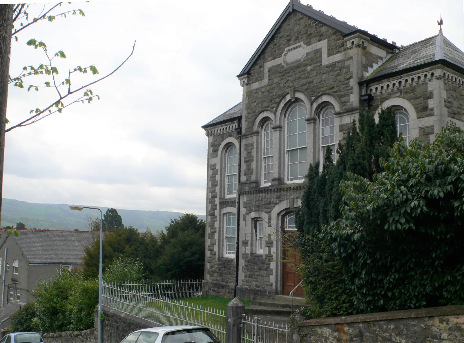
The chapels are the biggest buildings the village put up for itself, and they are considerably grander than the population now needs. They are the clearest evidence of what a mill village of the last century looked like.
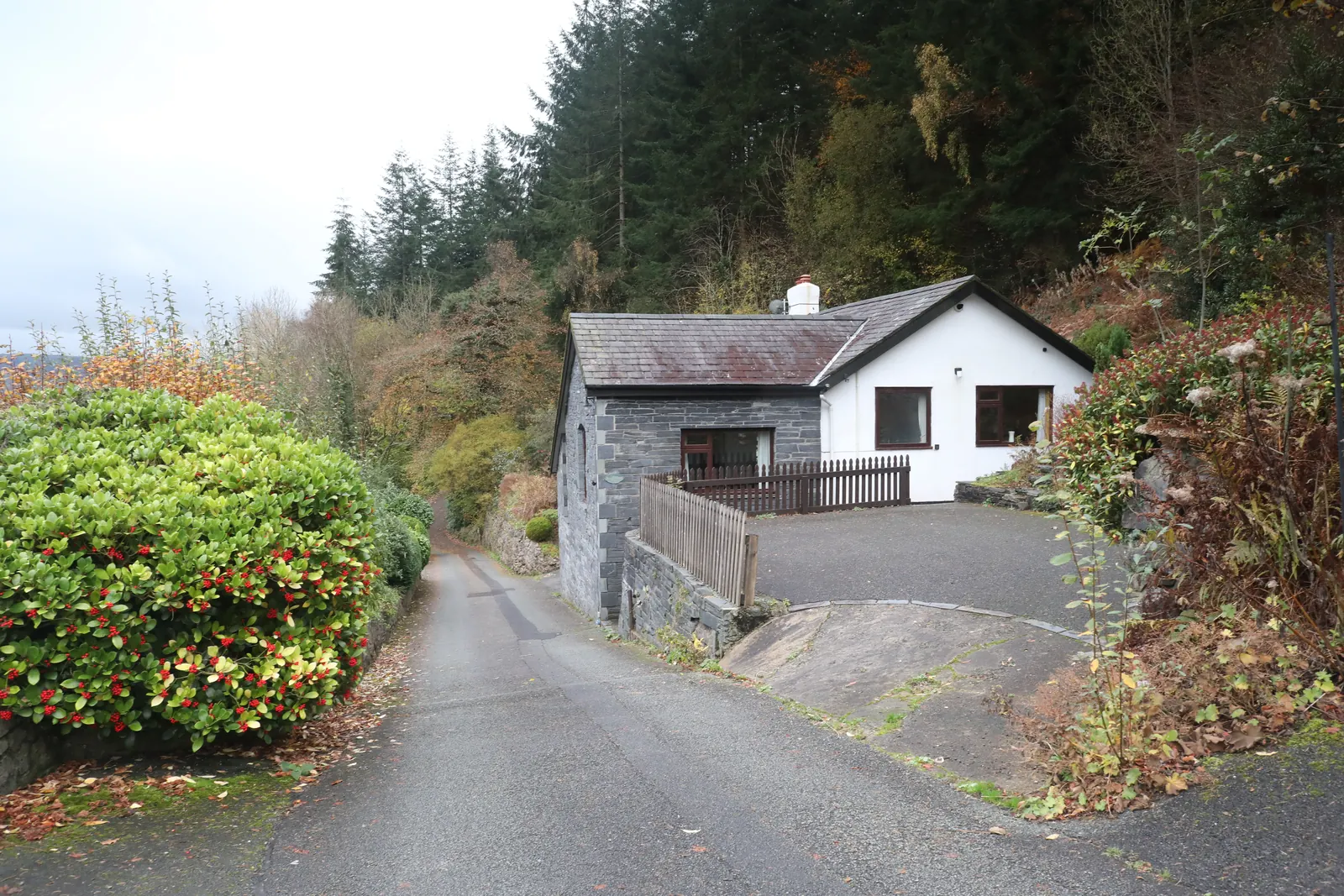
The residential streets climb the slope in short rows and simply end. Past the last house the tarmac becomes a forest road, and the walk to the lakes has already begun without anyone announcing it.
The Trefriw Walking Festival runs from the village over a weekend in May, with around twenty graded routes. It is organised locally, and it is the one weekend the village is unmistakably the base rather than the through-road.
A through-road, not a destination
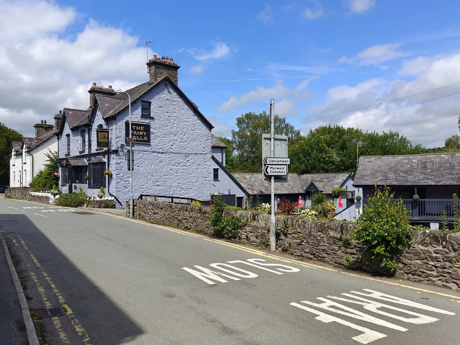
The turning for the lakes leaves the main road opposite the pub, and a good share of the traffic through Trefriw takes it. That is the village’s real relationship with visitors: it is the place you pass on the way up, and the whole argument of this guide is that it is worth stopping in first.
Plan your time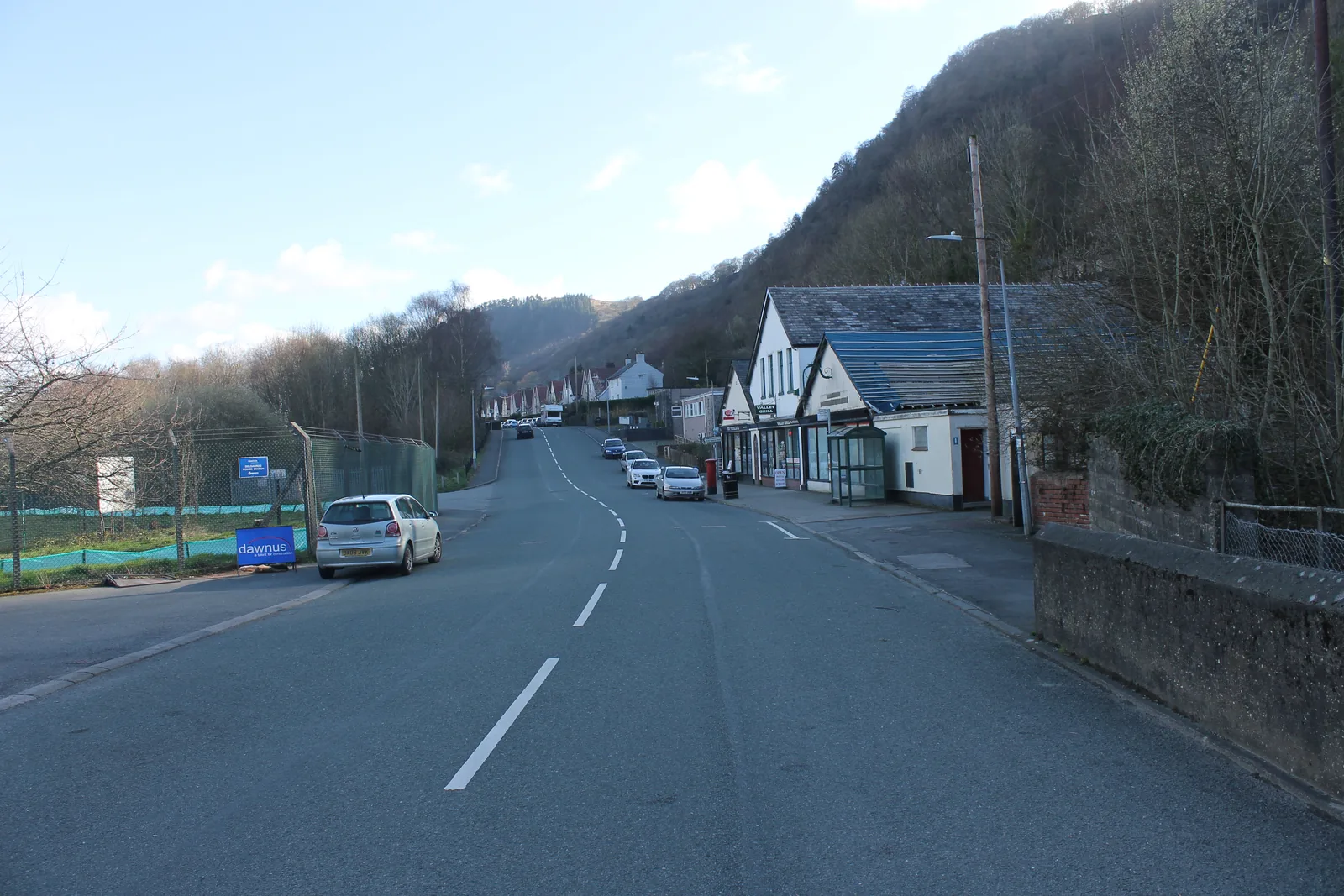
Trefriw was where people came, long before it was somewhere they drove through.
Atlas of Wales
04Plan
It is the large stone building on the road. The shop door is the way in.
Both can be looked round in shop hours, at no charge.
The memorial, the bridge and the signed footpath are all at this corner.
A few minutes climbing behind the houses. Sturdy shoes: it is uneven.
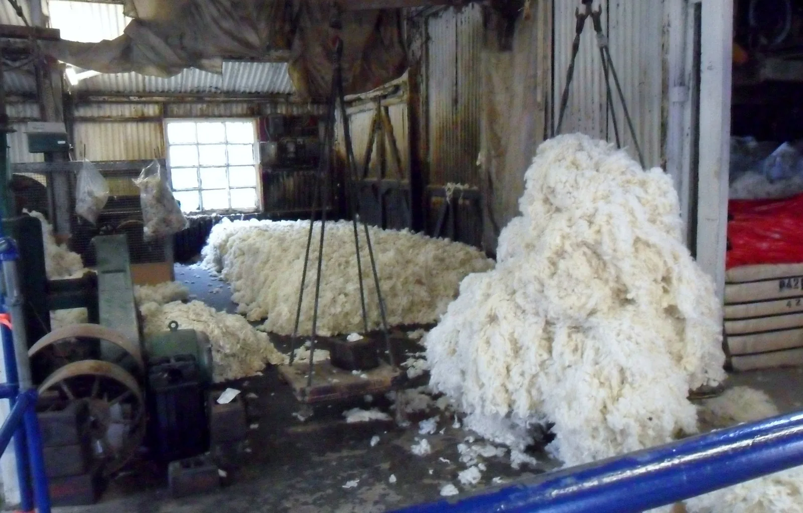
It keeps hours and nothing else here does. Do it before you walk.
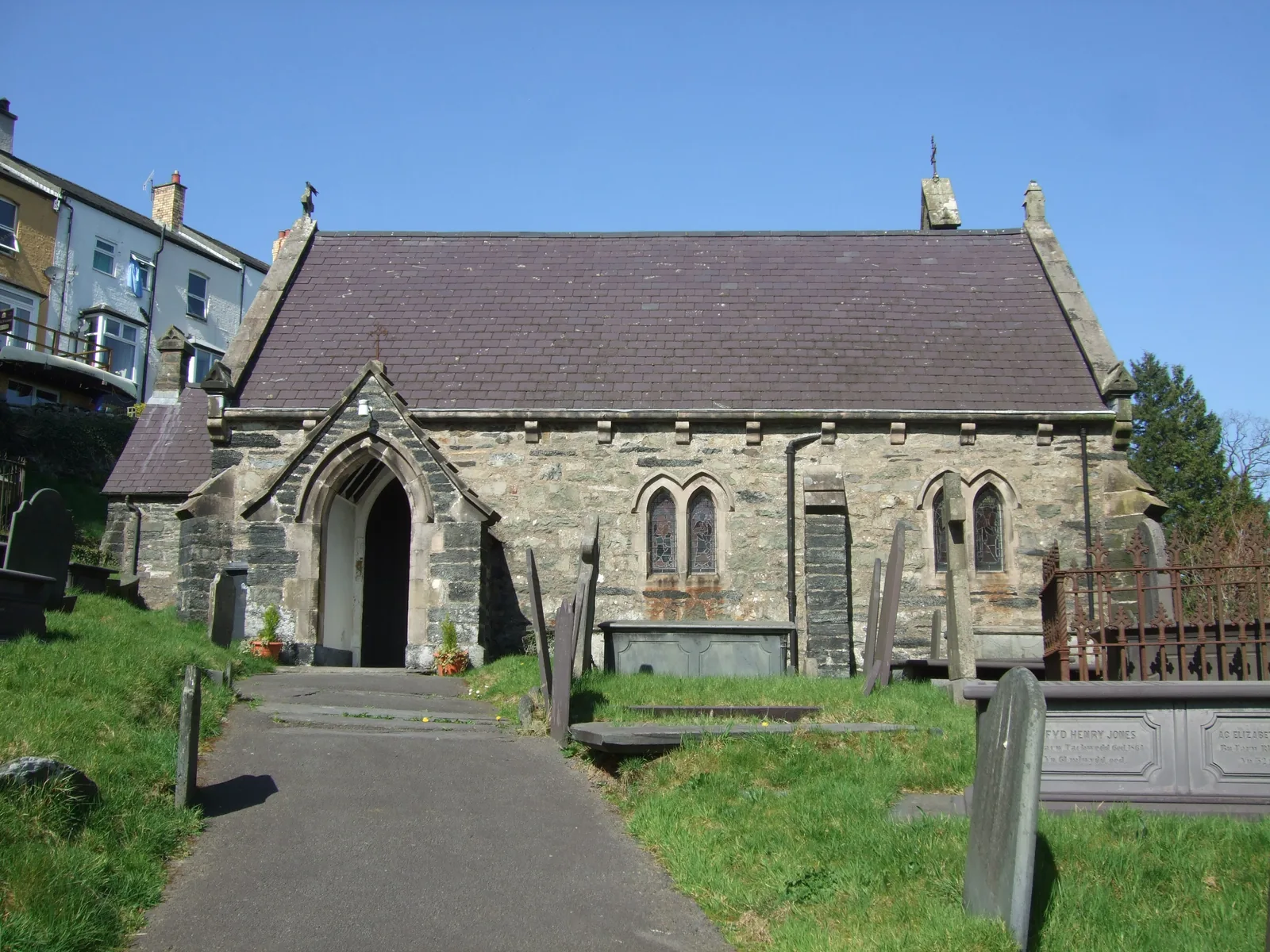
The entrance climbs off the road, a little north of the mill.
Two aisles, a 1633 pulpit, and the valley laid out below the wall.
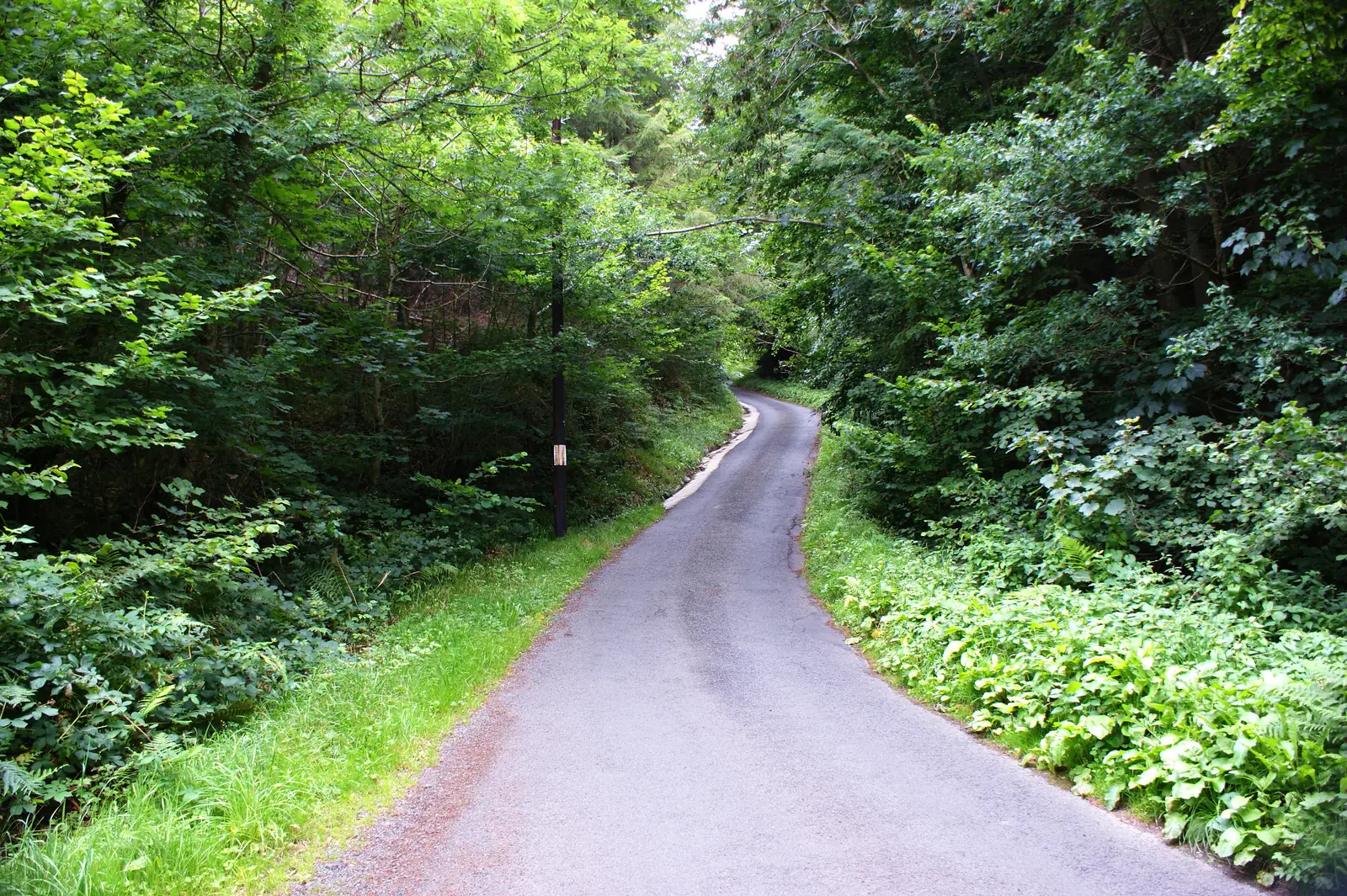
The lane leaves the village and gains most of its height early.
Stand here and Joan’s complaint about the walk stops being an anecdote.
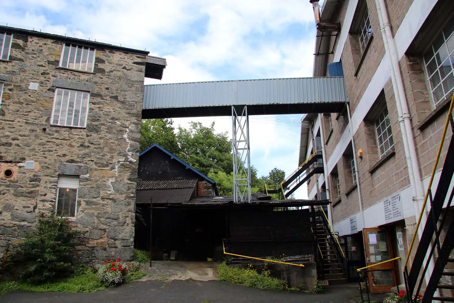
The back of the buildings is where the water arrives. Start there.
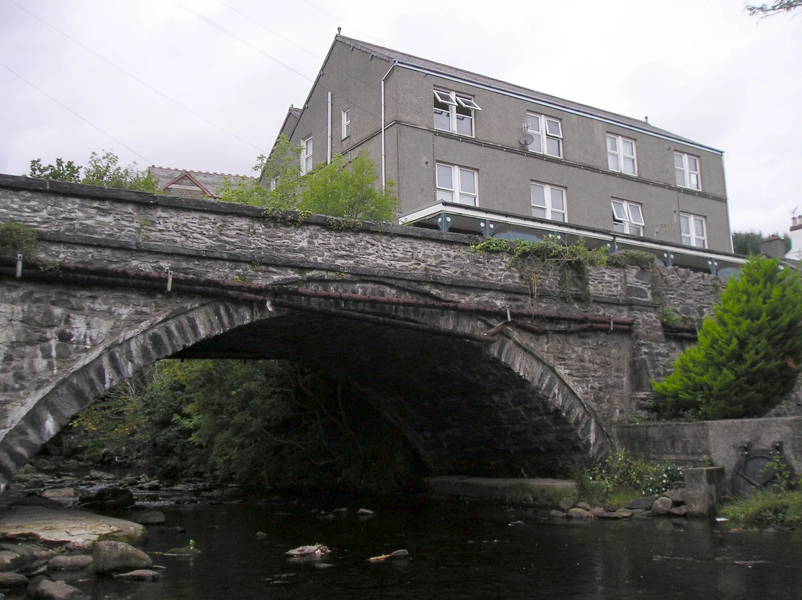
The bridge in the middle of the village, and the falls path above it.
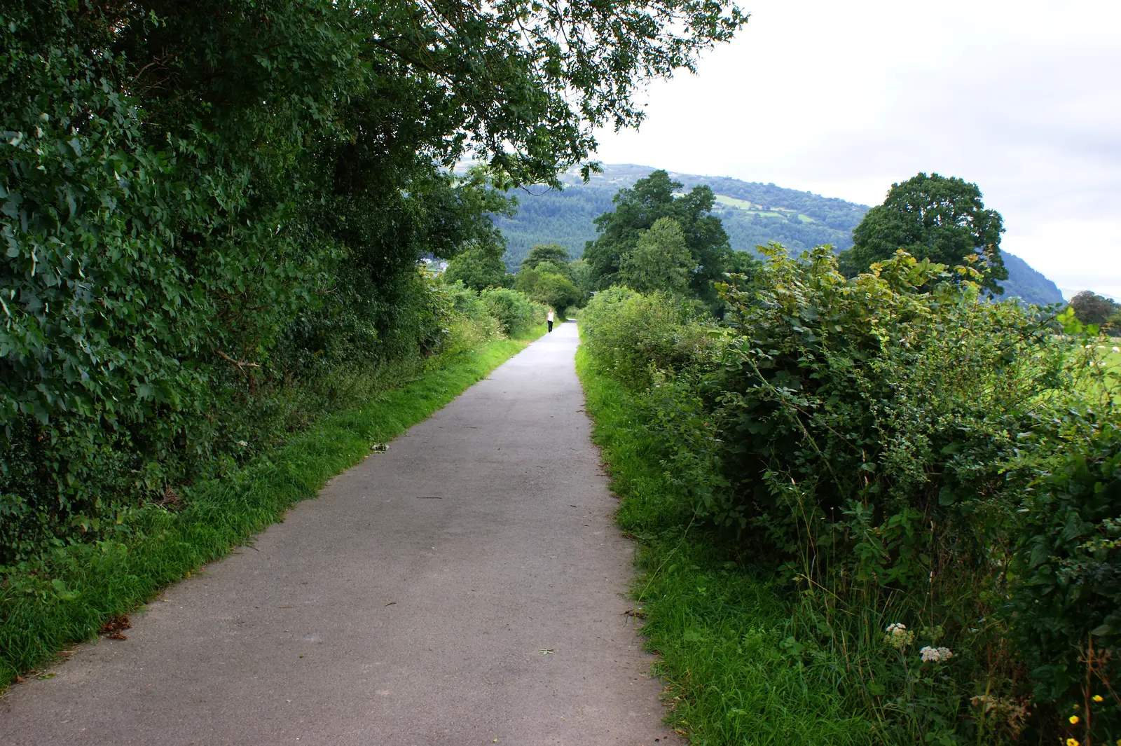
The lane runs east to the bank where the steamers used to tie up.
Back to the junction and up the minor road: two miles, and narrow.
Free parking and toilets at the top, and four waymarked routes from it.
Practical
Everything you need for arriving and getting around.
Getting here
The B5106 runs through the village along the west side of the valley, between Llanrwst to the south-east and the coast to the north. The mill publishes it as five miles north of Betws-y-Coed, and gives LL27 0RZ for sat navs. The village car park is on Gower Road, beside the mill, and it is free.
The mill’s own directionsService 19, run by Llew Jones, connects Trefriw with Llandudno and Conwy one way and Llanrwst and Betws-y-Coed the other. The mill records that the Llandudno and Conwy service stops directly opposite its door, and the other about sixty metres along the road. It runs every day, with a reduced Sunday service.
Service 19: current timetablePractical details
One large free car park serves the village, on Gower Road beside the Woollen Mills. Conwy County Borough Council publishes no car park of its own here, so its free, public standing rests on local sources rather than a council listing. Everything else in the village is on-street.
Two miles up the minor road, Natural Resources Wales runs a free car park at Llyn Crafnant with toilets and a picnic area, and no overnight parking. If the village car park is full, that is the nearest published provision, but it is a lake trip, not a walk back down.
Gower Road
Village centre · by the Woollen Mills
Google Maps (opens in a new tab)Public toilets stand on Gower Road, LL27 0RZ, with standard male and female cubicles and an accessible cubicle. There is no charge.
Read the AccessAble guide to Gower RoadTrefriw does not appear on Conwy County Borough Council’s own public-toilet listing, so no council opening hours are published for it. The block at Llyn Crafnant is run separately, by Natural Resources Wales.
Gower Road, Trefriw, LL27 0RZ
Free
Accessible cubicle listed
The village is built on a slope, and most of what is worth seeing involves gaining height. St Mary’s is entered by steps, with ramp or level access available on request. The path to the falls is short but steep and uneven in places. Llanrhychwyn is a climb of roughly two hundred metres.
The nearest published accessible route is the Afon Crafnant Amble at Llyn Crafnant: 0.4 miles, level, with picnic benches. It is up the lake road, not in the village.
Steps to enter; level access on request
Short, but steep and uneven in places
Afon Crafnant Amble, 0.4 miles, at the lake
The mill trades Monday to Saturday all year except winter bank holidays; the weaving shed and turbine house are open during shop hours and there is no admission charge. Both churches publish visiting arrangements of their own. Trefriw Wells Spa is a working bottling site with no public access; do not plan to visit it.
Trefriw Woollen Mills: visitingMonday to Saturday; free to look round
Production site · no visitor access
North Llanrwst, a request stop · 1¼ miles on foot
No source checked for this guide publishes a dog rule for Trefriw village, the footpath to the falls, or either churchyard. Conwy operates a county-wide Dog Control Public Spaces Protection Order covering fouling, carrying a means to pick up, exclusion areas and dogs on leads by direction.
The order sets its exclusion and lead areas out land parcel by land parcel. No Trefriw-specific zone is stated here, because none was found. The churchyards are churchyards; treat them as such.
Conwy County Borough Council: controlling your dog in public
The mill, the bridge, the memorial and the church path all sit on the main road within a few minutes’ walk. Everything else — the falls, the old church, the lakes — is uphill from that line.
Trefriw is a stop on a longer valley
Four real Atlas destinations pair with a Trefriw visit; distances are straight-line from the village centre, not driving times.
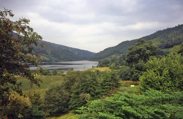
The two lakes at the top of the road that leaves Trefriw opposite the pub: free parking, toilets, and four waymarked routes through old mining ground.
About 2.3 miles south-west (straight-line)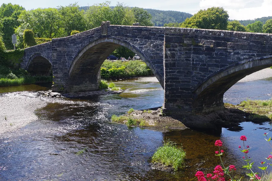
The market town across the river, and the head of the tide: the place the boats from Trefriw were always heading past, with a bridge of 1636 to stand on.
About 1.5 miles south-east (straight-line)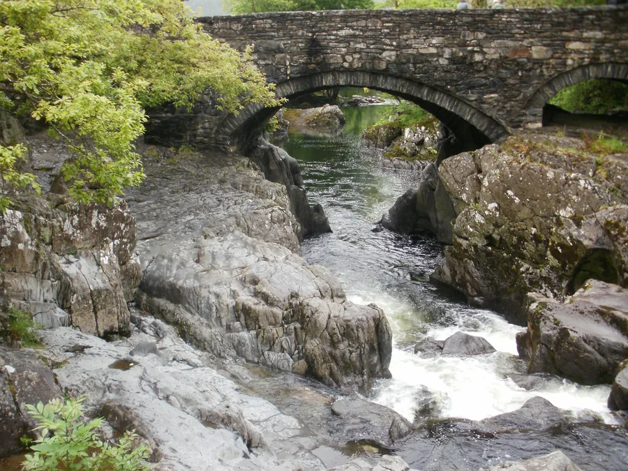
The busy end of the same valley, five miles south: the gateway village Trefriw quietly is not, and the obvious contrast to pair it with.
About 4.2 miles south (straight-line)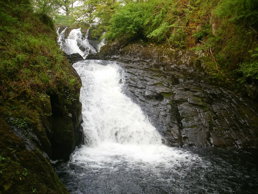
A turnstile off the A5 drops you onto a cascade on the Afon Llugwy: open all year, no walk required.
About 3.5 miles south (straight-line)Before you go
Lead, spa water and paddle steamers have all gone. The mill is still weaving.