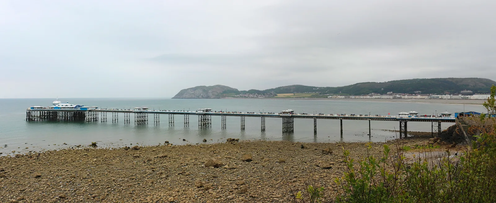
Walking out to the pier head
Seven hundred metres of deck over open water, with a bend partway along that turns you towards the headland.
Conwy · the north coast
A town drawn on paper before it was built, a bay laid out to one plan in 1849, with the longest pier in Wales at one end and a second, quieter beach on the other side of the street grid.
01The town
Llandudno sits on a low neck of land between two limestone headlands, and it faces both ways. The promenade curves along the bay on the north-eastern side, the pier reaching out from its western end and the theatre closing it at the east. One street back runs Mostyn Street, the shopping spine, with the grid of wide streets behind it. Cross that grid (fifteen to twenty minutes on foot) and you come out on West Shore, looking the other way entirely.
Most Welsh towns grew. This one was drawn. A single 1849 plan set the streets, the plot sizes and the building standards, and the drawing is still legible on the ground, which makes Llandudno the clearest place in Wales to see what the Victorians thought a seaside town should be.
Character
Llandudno is a full resident town, not a resort strip: roughly 19,700 people, a high street, a hospital, schools and a town council, with the visitor trade running through the middle of it.
Pace
The centre and the front are flat and paved. The pier alone is 700 metres out and back, the promenade runs a good mile end to end, and West Shore is a separate walk across the town.
Landscape
The Great Orme closes the bay to the north-west and the Little Orme to the north-east; behind the town the Conwy estuary opens south-west towards Anglesey and the mountains.
Best for
Best for a first day on the north coast, for anyone arriving by train, and for a wet afternoon. A free gallery, a museum and a theatre all sit within the same few streets.
02Discover
Seven hundred metres of deck over open water, with a bend partway along that turns you towards the headland.
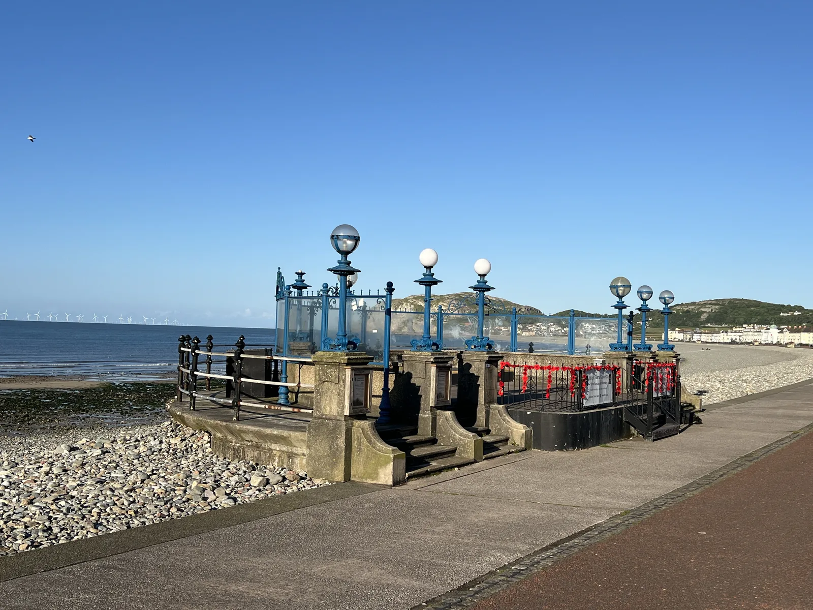
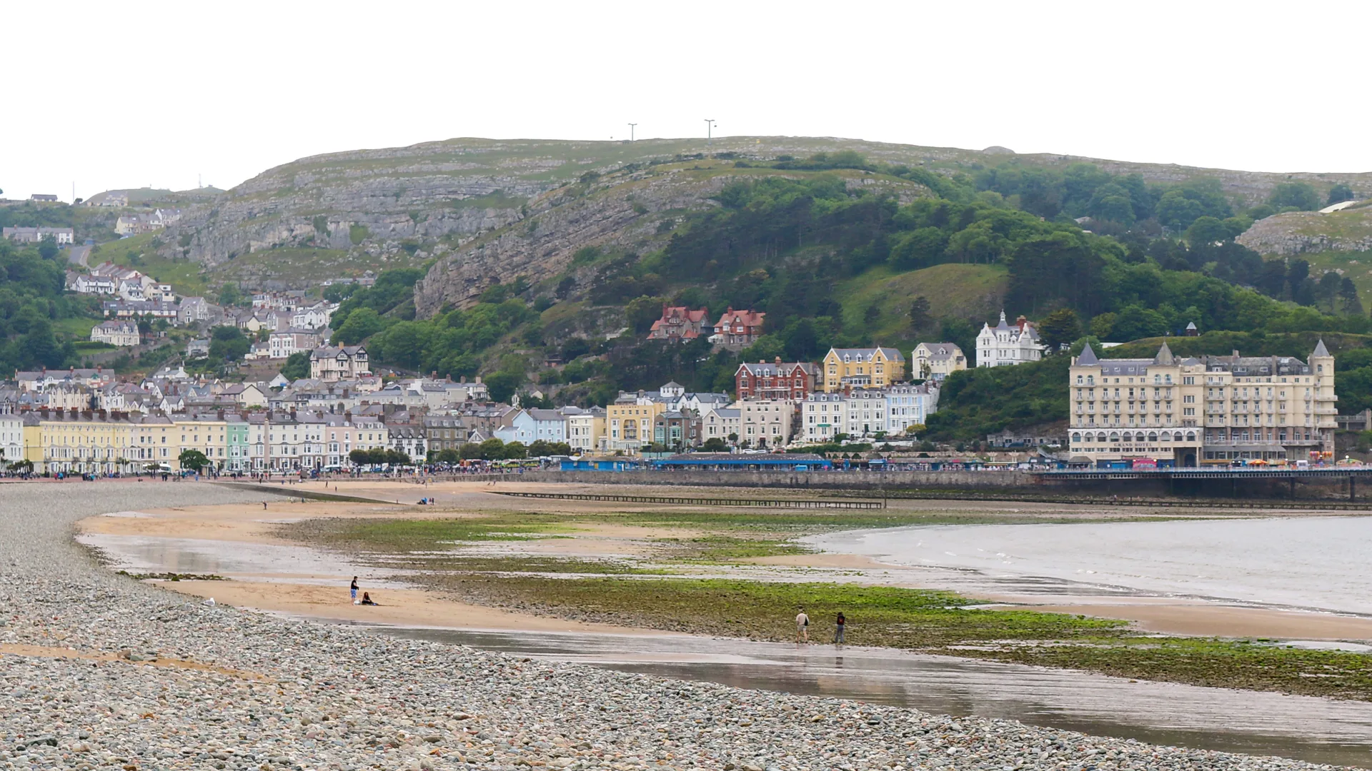
Stand on the front and the town reads as a single drawn arc, headland to headland, exactly as it was planned.
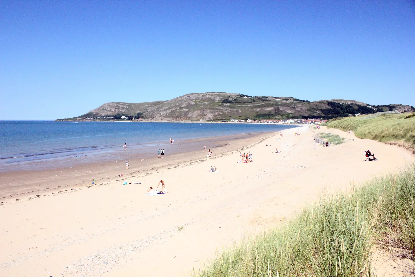
Twenty minutes across the town and the crowds stop: open sand facing the estuary and the mountains.
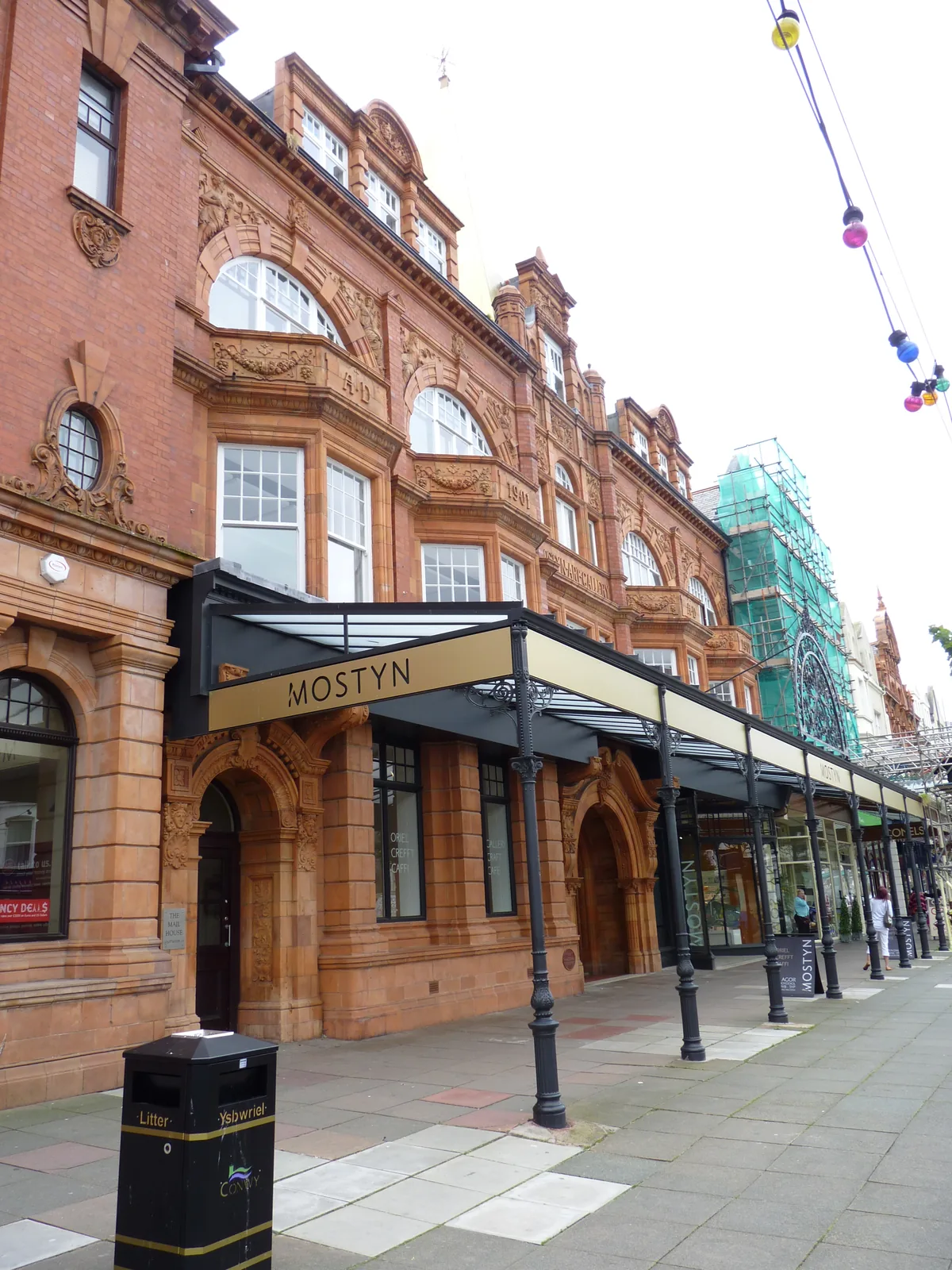
Walk in without a ticket and you have no idea what you will find, because the programme changes completely.
Beyond the first defining moments, the fuller Llandudno catalogue continues below.
One street back from the sea, then the front itself running north-west to the pier. Eight points, seven of them along that line, and one on the far shore.
 No verified image yet
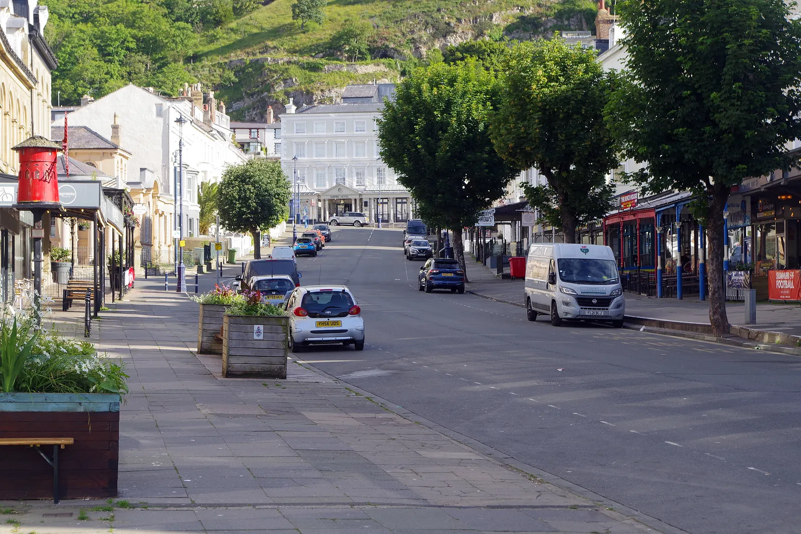
Mostyn Street
The shopping spine, one street back from the sea. Everything else is reached from it.
Eight entries: a shopping street, a promenade and its beach, a Grade II* pier, a garden made from a quarry, a second beach with a memorial on it, a free gallery, a theatre and a museum. The Great Orme has its own guide. See Where to go next. No hotels, pubs or shops are listed here.
Principal street
The town’s working spine, and the clearest surviving line of the plan that made it. Walk it and the 1849 drawing is still visible.
Promenade & beach
A mile of curved seafront above the town’s main beach. The best place to see that Llandudno really was designed as one shape.
Check the beach dog restrictions (opens in a new tab)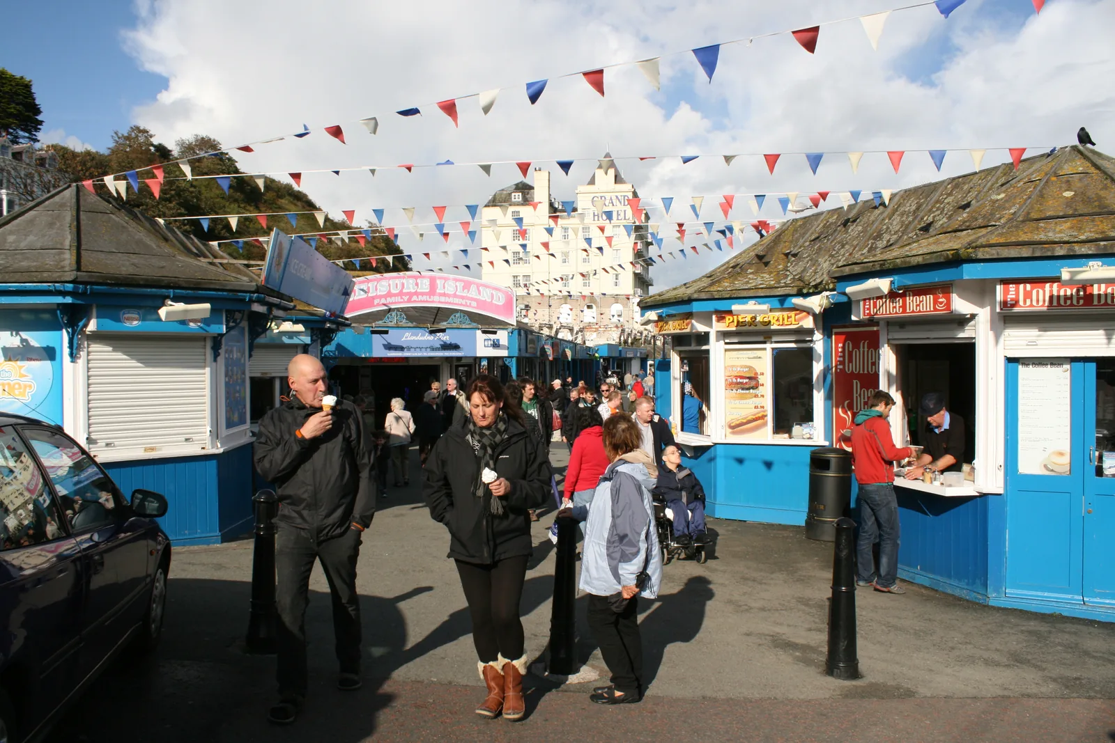
Grade II* pier
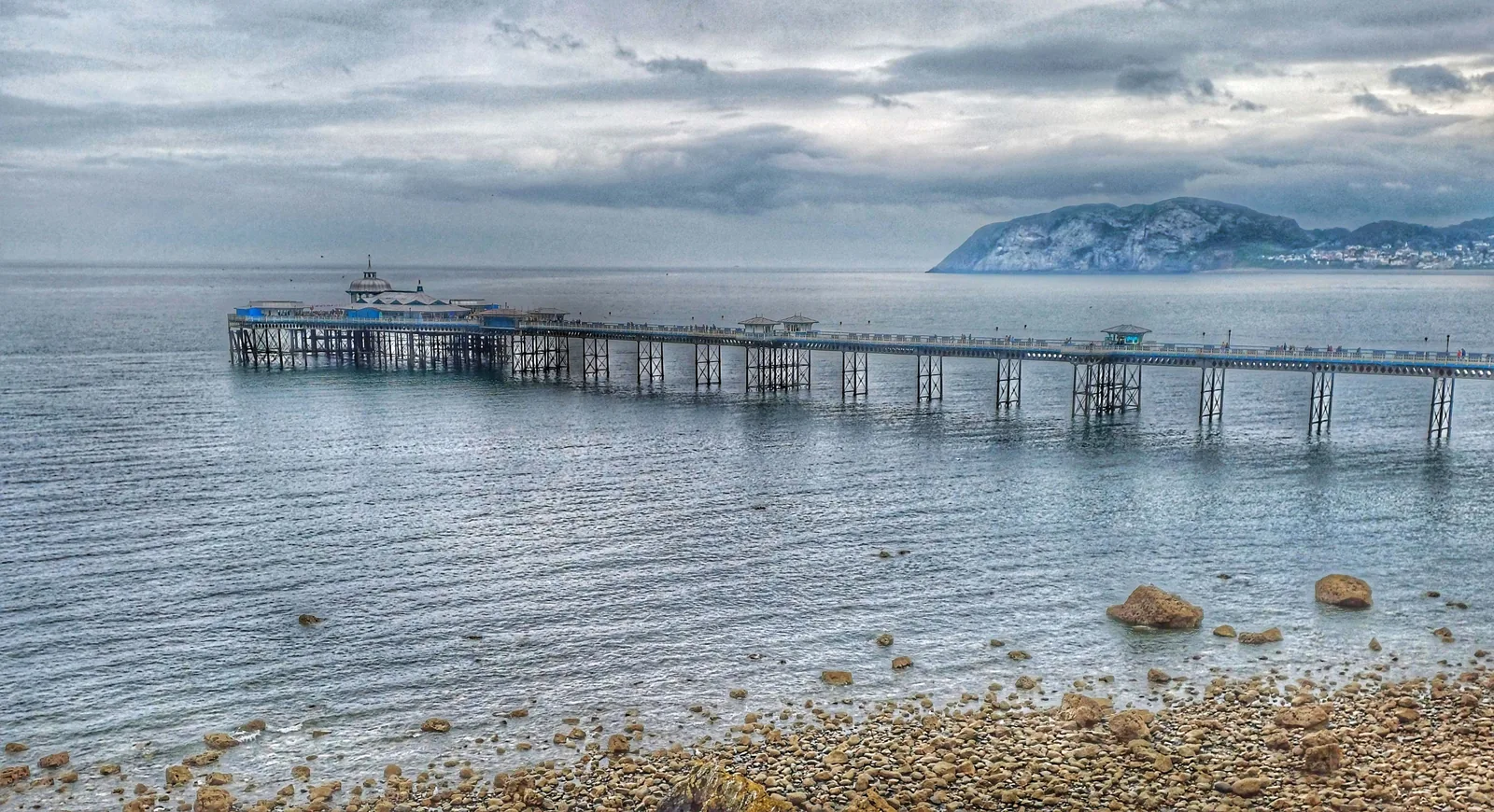
The longest pier in Wales, and free to walk. It bends partway along instead of running straight, which no one quite expects.
Check opening times (opens in a new tab)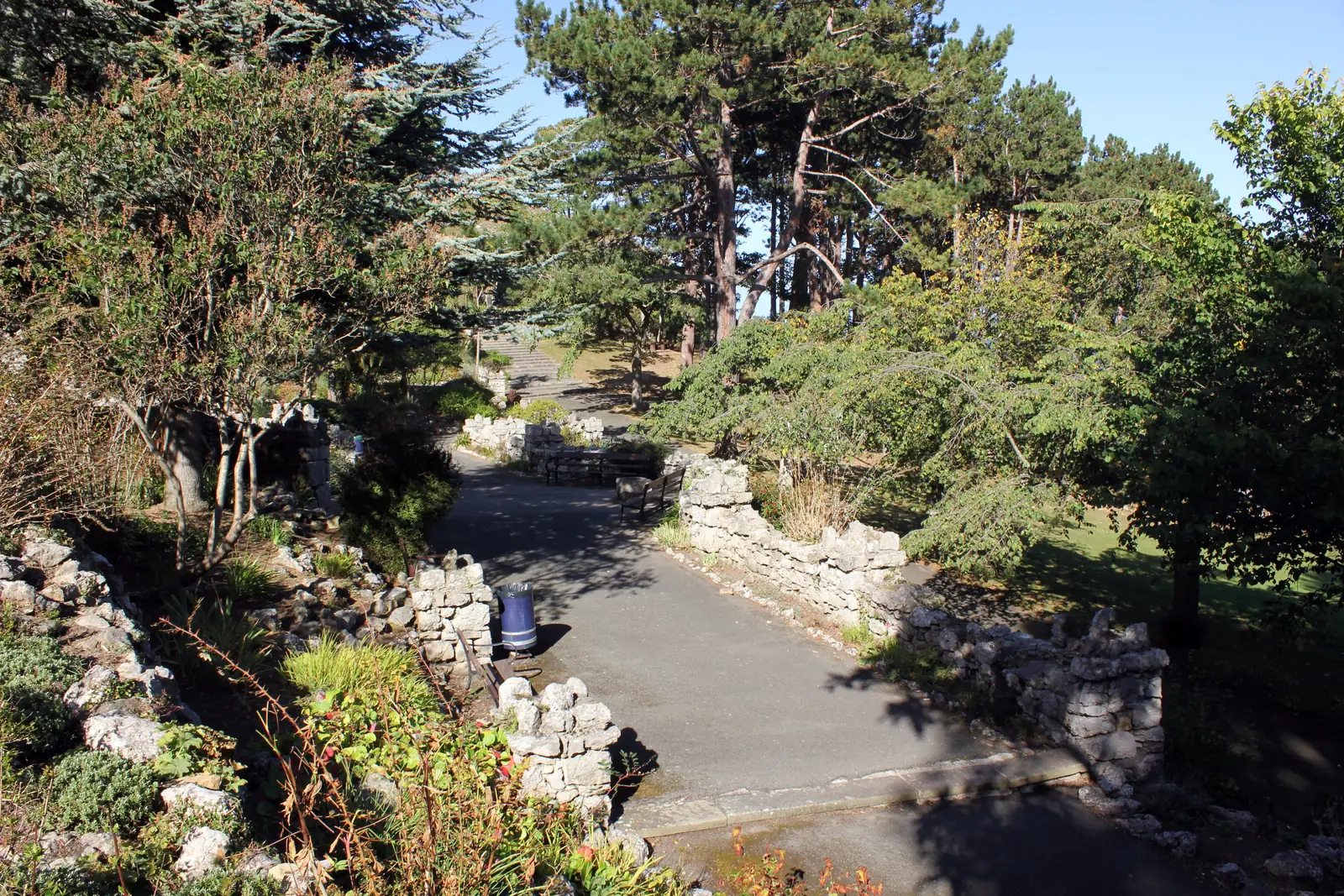
Public gardens
Rock gardens and winding paths on ground that used to be a quarry, given to the town and planted for a royal jubilee.
Beach & memorial
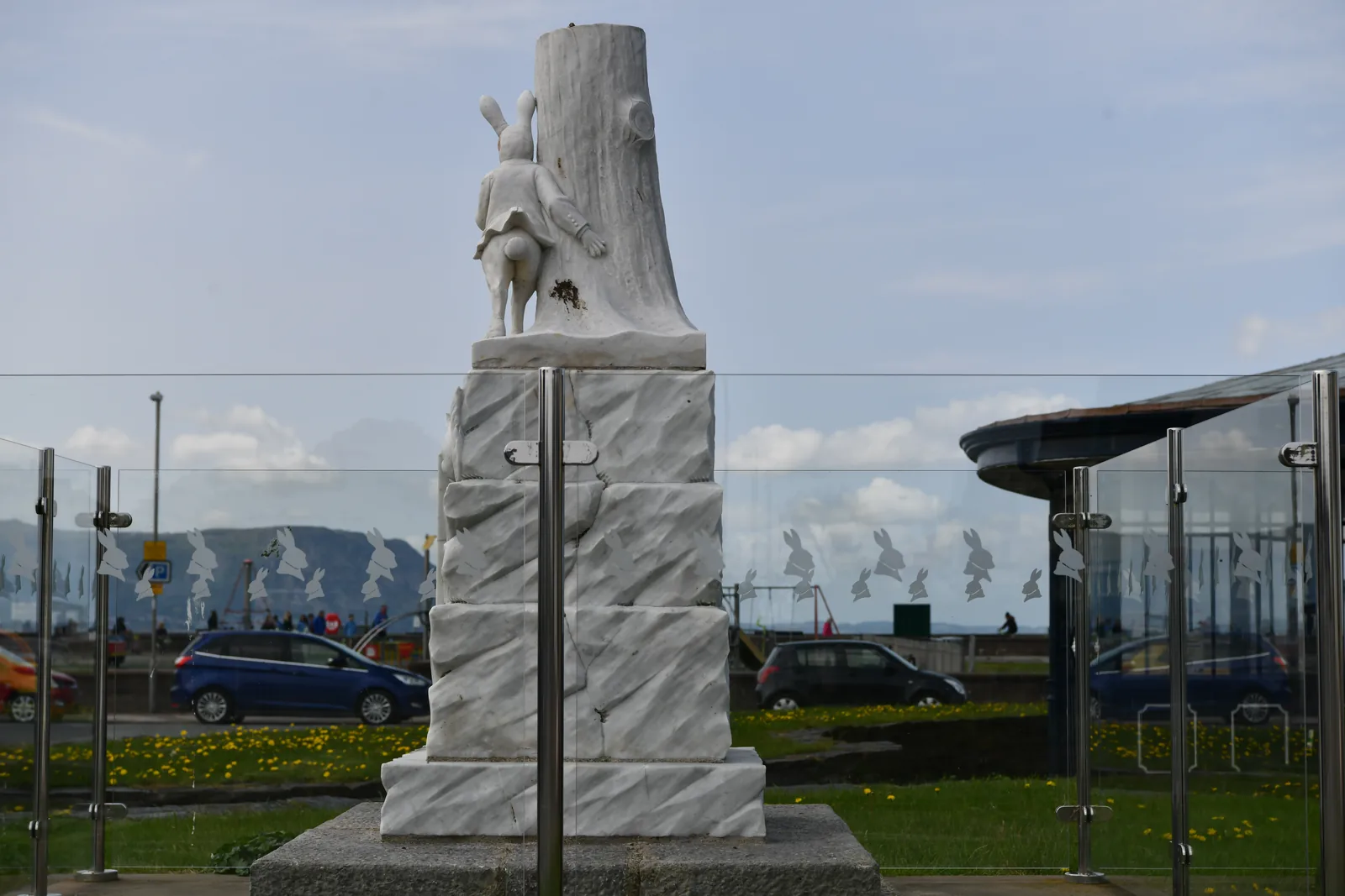
The town’s other beach, facing the estuary and the mountains, with a marble rabbit at its northern end making a claim it cannot support.
Check the beach dog restrictions (opens in a new tab)Free, no permanent collection
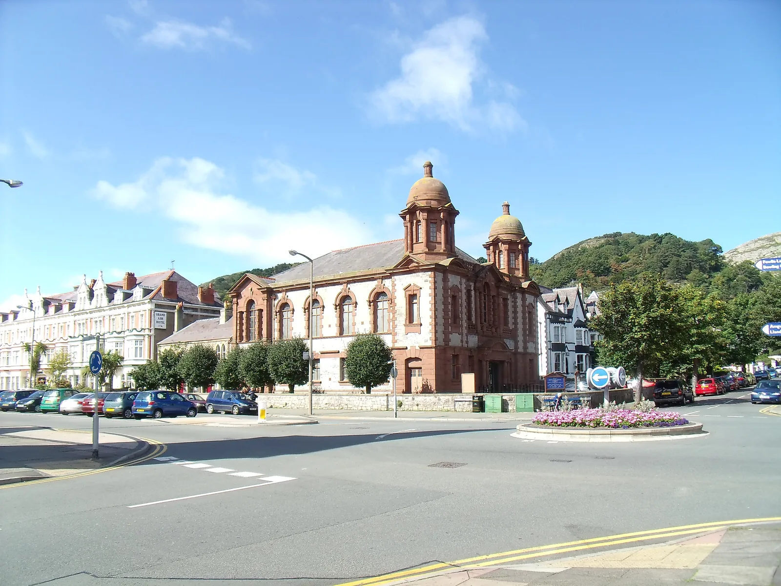
A contemporary gallery behind a terracotta Edwardian frontage, free to walk into, and showing nothing at all that it owns. Closed Sundays and Mondays.
Check what’s showing and when (opens in a new tab)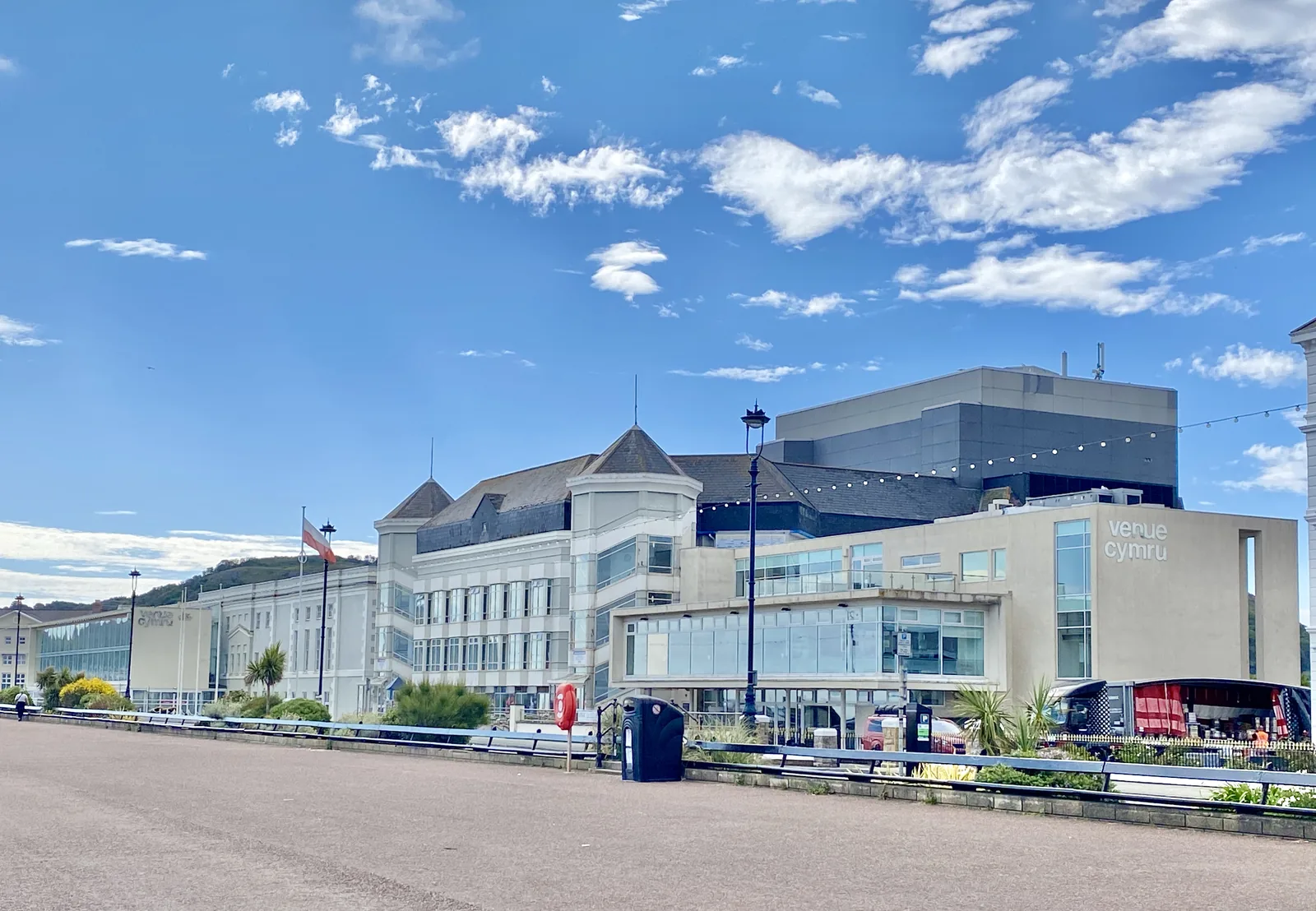
Theatre & arena
North Wales’s largest theatre sits at the quiet end of the promenade, council-owned and busy with touring work most weeks.
See what’s on and book (opens in a new tab)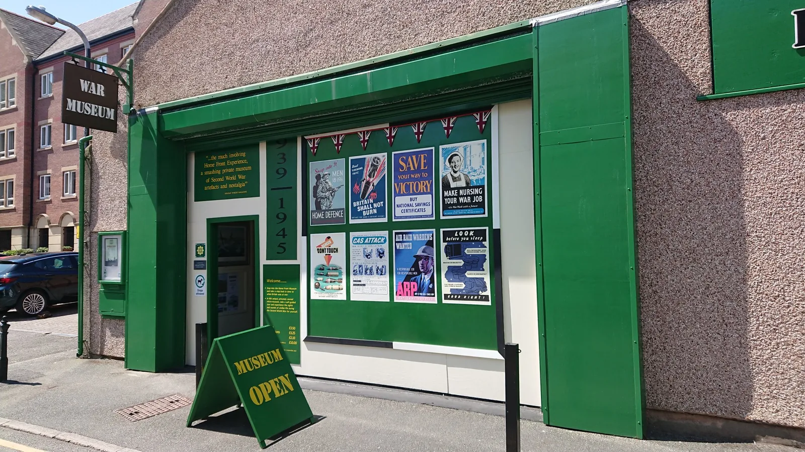
Seasonal, charged
A small independent museum about civilian wartime Britain: not the front line, but the queues, the blackout and the kitchen. Seasonal.
Check the season and opening times (opens in a new tab)MOSTYN closes on Sundays and Mondays, the Home Front Museum runs a season and is normally shut on Sundays outside school holidays, and Venue Cymru’s programme changes weekly. Confirm any of the three before you build a day around it.
MOSTYN · current opening03Story
That was the instruction. In 1846 an architect stood on an empty shore between two headlands and said what a fine watering place it would make; his employer approved the plans without altering a line, and told him to get on with it.
The isthmus between the Ormes was low, largely undeveloped ground: grazing, with copper worked on and around the headland above. All of it belonged to one family, the Mostyns.
Edward Mostyn Lloyd-Mostyn took an Enclosure Act dated 12 July 1843 through Parliament and received 832 of the 955 acres distributed in the parish. The Liverpool architect Owen Williams saw the bay in 1846 and was commissioned to plan a resort. The Llandudno Improvement Act of 1849 gave the drawing legal force: wide streets on a grid behind a curved bay, with plots leased under the estate’s own building standards.
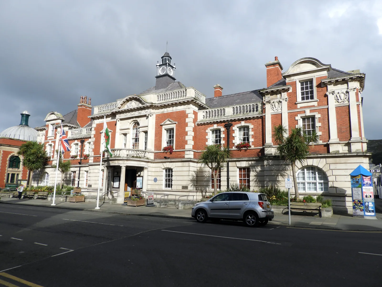
The railway branch opened on 1 October 1858; a short wooden pier opened the same year and was wrecked by the Royal Charter Storm the next. George Felton served as the town’s surveyor and architect from 1857 to 1877, and the present pier opened on 1 August 1877. Lord Mostyn gave the worked-out Happy Valley quarry to the town in 1887, Lady Augusta Mostyn’s gallery opened on Vaughan Street in 1901, and the Town Hall in 1902.
A double-track tramway ran along Mostyn Broadway from 1907 until it closed in March 1956. The town band formed in 1910 and played from a mobile bandstand on wheels (hoteliers objected to a fixed one) until a permanent bandstand was inaugurated in 1926. The Gorsedd circle went up in Happy Valley in 1962 for the following year’s National Eisteddfod. The pier pavilion burned down in 1994 and was never rebuilt.
Llandudno is a community of about 19,700 that still reads as its own drawing. Its conservation area gained a management plan in March 2015; the gallery, rebuilt in 2010, won the National Eisteddfod’s Gold Medal for Architecture the following year; and the pier was voted Pier of the Year in 2005 and again in 2025.
Proceed with the work of bringing Llandudno into existence.
Lord Mostyn’s instruction, as recorded by the estate
Everyday Llandudno happens on Mostyn Street and the grid behind it: shops, cafés, pubs, the library, the Town Hall on Lloyd Street, the surgeries and schools that a town of nearly twenty thousand needs. Almost none of it is on the seafront.
That is the trick of the 1849 plan, and it still works: the promenade takes the visitors and the street one block inland takes the town. On a wet Tuesday in February the front is empty and Mostyn Street is not.
Fishing is no longer permitted anywhere on the pier. The operator says so plainly. A great many photographs and write-ups still show anglers on it.
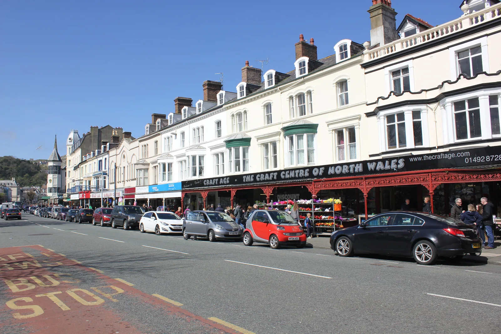
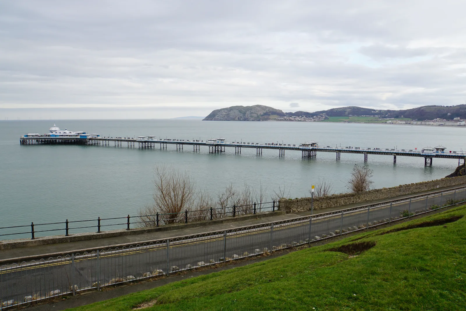
The promenade is used year-round, not just in season: walkers, dog walkers out of the restricted months, and the same benches occupied in January as in July.
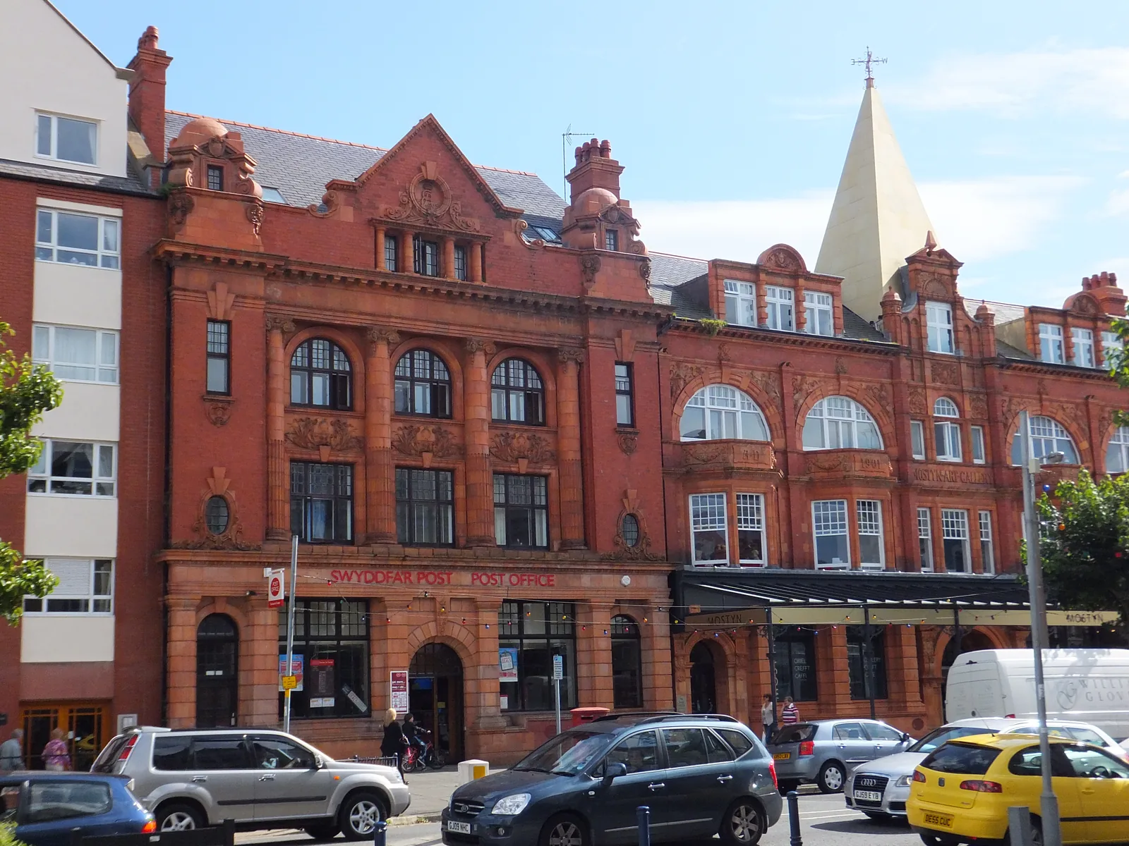
The streets one and two blocks inland carry the post office, the library, the council and the gallery, the working parts of a town, built in the same brick and terracotta as the hotels.
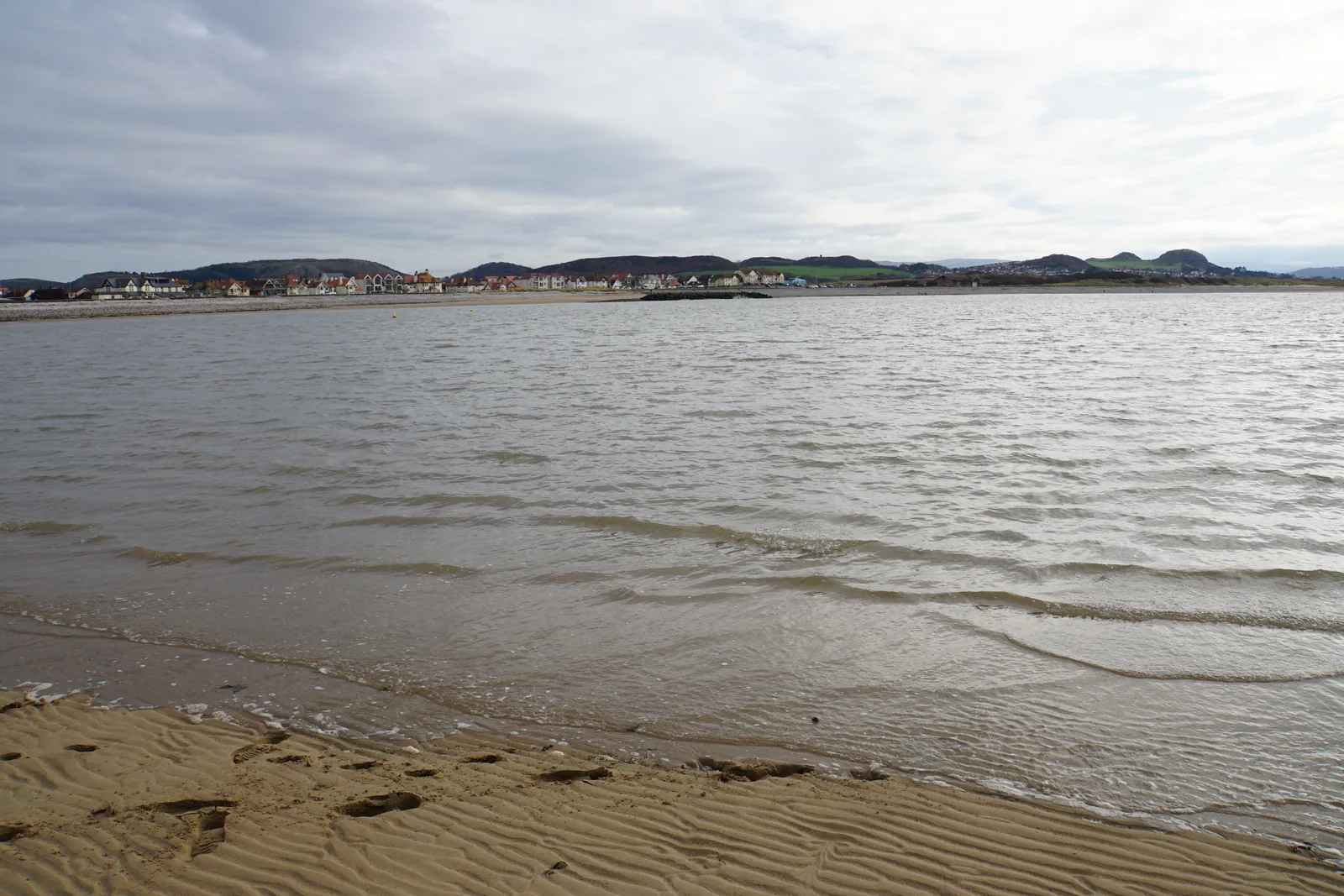
North Shore is the busy one. West Shore, on the other side of the same town, faces the estuary and the sunset, and behaves like a different place entirely.
Designed to last
A resort built in one go could easily have become a single street of hotels. Llandudno was drawn wider than that: a grid deep enough to hold a town hall, a post office, chapels and a war memorial as well as a promenade. That is why it still functions in February.
Plan your time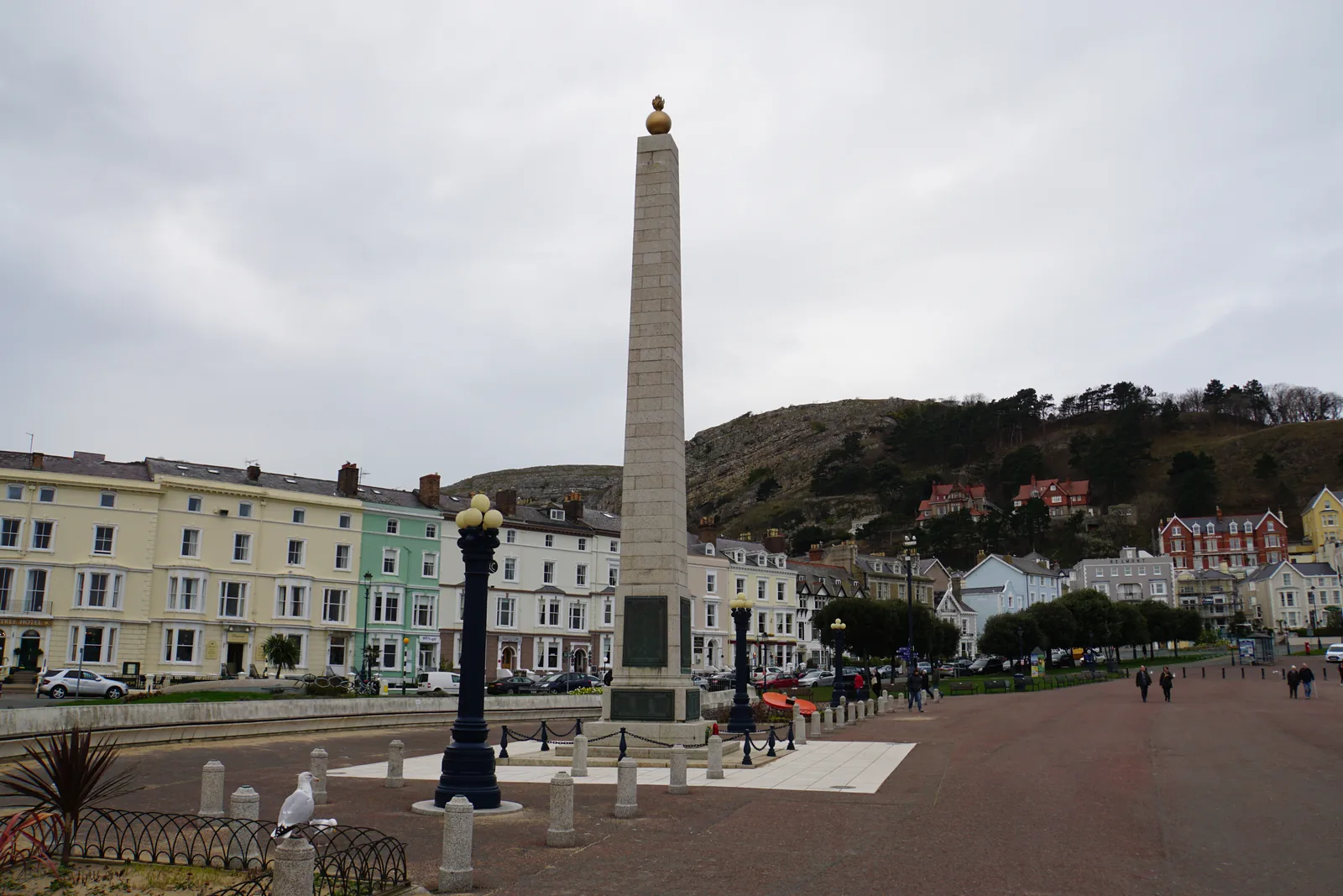
What a beautiful place, and what a fine watering place it would make.
Owen Williams, 1846, as recorded by the Mostyn estate
04Plan
The Town Hall and York Road car parks are both a couple of minutes from the street.
One block seaward, then turn north-west along the bay towards the headland.
Free to walk on, and open all year except Christmas Day.
Seven hundred metres out, with the bend partway along and the whole bay behind you.
Start at the bandstand end and follow the curve north-west.
Behind the pier, on ground that used to be a quarry. The paths climb steadily.
Down Mostyn Street and across the isthmus. Fifteen to twenty minutes, all level.
Read the 1933 inscription, then decide what you make of it.
Open sand facing the estuary and the mountains, best late, when the light goes down behind Anglesey.
The museum runs a season and is normally shut on Sundays, so confirm before you set out.
Free, and quietest early. Closed Sundays and Mondays.
The whole curve, then out over the water and back.
The other side of the isthmus, facing the estuary.
The east end of the promenade, with its own car park. Book ahead.
Practical
Everything you need for arriving and getting around.
Getting here
The A470 ends at the promenade and the A546 runs west to West Shore. Conwy County Borough Council operates seven pay-and-display car parks in the town, the largest of them on The Parade and at Venue Cymru, and three more are privately run.
Llandudno car parks (Conwy County Borough Council)Llandudno is the terminus of a three-mile branch from Llandudno Junction on the North Wales Coast Line, operated by Transport for Wales. The station is a few minutes’ walk from Mostyn Street, which makes a car-free visit genuinely practical.
Check current timesLocal town services and the coastal routes along the north Wales seaboard both call in Llandudno, and the Conwy valley service runs inland to Betws-y-Coed. Timetables differ by day. Check the current service before travelling.
Traveline Cymru · current bus timesPractical details
Seven Conwy County Borough Council pay-and-display car parks serve the town, spread between the front, the centre and West Shore. The Parade is the big one on the promenade; Dale Road has a height barrier. Three more are privately run — the Victoria Centre multi-storey on Mostyn Street, Holy Trinity on Trinity Square, and the station car park on Augusta Street.
Llandudno car parks (Conwy County Borough Council)The council also runs a car park at the Great Orme summit. It is a destination in its own right, reached by the toll road or the tramway, and is not part of the town list here. Charges and restrictions can change — check the signs when you arrive.
The Parade
The promenade · largest in town
Google Maps (opens in a new tab)Venue Cymru
Craig-y-Don · by the theatre
Google Maps (opens in a new tab)Maelgwyn Road
West of the centre
Google Maps (opens in a new tab)Dale Road
West Shore · height restriction
Google Maps (opens in a new tab)Town Hall
Town centre · behind the Town Hall
Google Maps (opens in a new tab)York Road
Town centre · west end
Google Maps (opens in a new tab)Happy Valley
Below the Orme · by the gardens
Google Maps (opens in a new tab)Victoria Centre
Mostyn Street · multi-storey
Google Maps (opens in a new tab)Llandudno Station
Augusta Street · at the station
Google Maps (opens in a new tab)Holy Trinity
Trinity Square · behind the church
Google Maps (opens in a new tab)Ten council-listed public toilets in the town. Some are free and some charge; hours differ by site and by day and are not summarised here.
Check the Conwy public toilets listingTown Hall · Library · Venue Cymru · Swimming Centre · Happy Valley · North Shore paddling pool
George Street · North Western Gardens · West Shore. All the town toilets the council lists are accessible, and all but Haulfre Gardens have baby changing
The two beaches carry different restrictions, and they run only from 1 May to 30 September. From 1 October to 30 April the council says you can take your dog anywhere on either beach.
Read the rule for the shore you are actually on. Signs and maps on the beach show the boundaries; the order’s fixed penalties and full schedules are on the council’s own pages, not printed here.
No dogs on the stretch from the pier to the first slipway
No dogs between the low water mark and the promenade, between the two stone groynes
The promenade and the central street grid are level and paved throughout. Happy Valley climbs steadily, and the approaches to the Great Orme climb sharply.
Per-site accessibility is not independently confirmed for this guide, so contact the pier, the gallery, the museum or the theatre directly if this matters to you.
Level and paved; West Shore is level too, but a distance from the centre
Steady to sharp climbs · Not confirmed per site
Two of the ways up onto the Great Orme start in the town: the tramway from Victoria Station on Church Walks, and the cable car from Happy Valley. Both are seasonal and are covered in full by the Great Orme guide, not here.
Read the Great Orme guideVictoria Station, Church Walks · A few minutes from the town centre
Park once in the centre and the front, the pier, the gallery and the museum are all on foot. West Shore is the one leg that is genuinely a walk across town, or a short drive to Dale Road.
Use Llandudno as a base
Four real Atlas destinations pair with a Llandudno visit. Distances are straight-line from the town centre, not driving times.
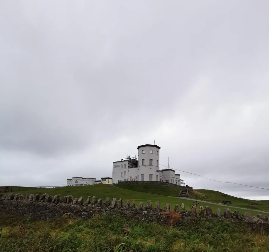
The headland the town sits under: a 207-metre limestone country park with Bronze Age copper mines, a clifftop church, and a tramway and cable car up from the streets below.
About 1.2 miles north-west (straight-line)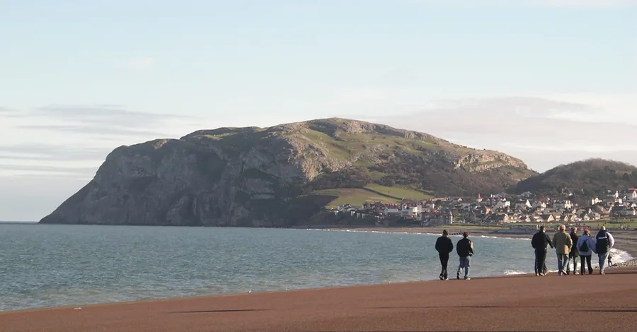
The quieter headland closing the far end of the bay, with seabird cliffs and a short climb, and the whole of Llandudno laid out behind you.
About 1.9 miles east (straight-line)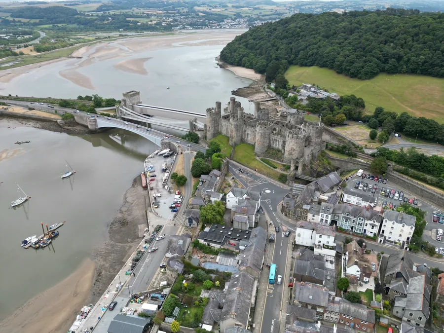
The medieval walled town across the estuary. The exact opposite of a planned resort, and the obvious half-day to set against this one.
About 2.9 miles south (straight-line)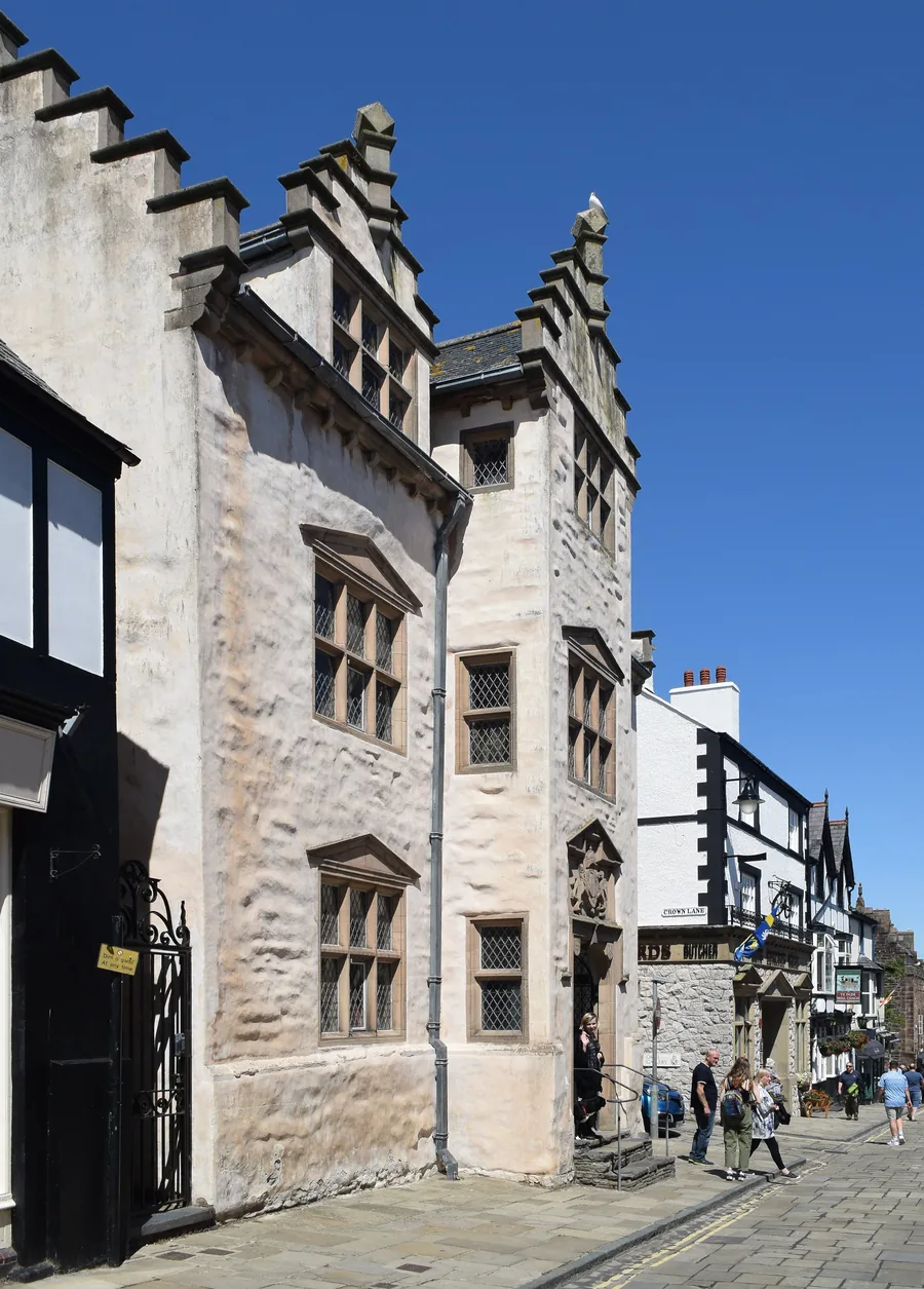
Britain’s best-preserved Elizabethan town house, its plasterwork still carrying Wynn heraldry.
About 2.9 miles south (straight-line)Before you go
Walk the curve of the front and you are walking a line that was decided before a single house stood here.