Recommended for you
Discovery Atlas for Wales
Find the Wales that fits the day.
Explore real coastlines, mountains, towns and old places through county chapters, practical field guides and a living map — now open across Anglesey, Gwynedd and Conwy.
Curated by localsLocal insightReal places, real stories
Built by countyCounty by countyThoughtful, not endless
Made to explorePrivacy firstAd-free and privacy first
How it works
From a feeling to a real place.
Choose a county, explore the map, open a guide, and save the places that fit your day.
Product tour transcript
- Find the Wales that fits the day.
- Open the Atlas map.
- Choose a county. Follow a place.
- Know what the visit involves.
- Understand why it matters.
- See what the place feels like.
- Open My Places.
- Keep the places that fit your day.
- Turn a feeling into a real place.
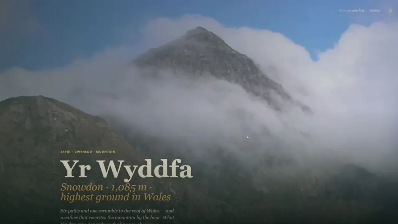
- 1 Open the Atlas map See every charted place across Wales at once.
- 2 Choose a place Pick a county, then a marker that catches you.
- 3 Read the field guide Access, parking, walks and the practical notes.
- 4 Save it to My Places Keep the day's places together for later.
Choose your way in
Choose your way
into the Atlas.
By county
Start with Anglesey, Gwynedd or Conwy.
By feeling
Find a place that fits the mood.
By map
See how places and landscapes connect.
Explore the Atlas below
County chapters
Start with a county.Follow what catches you.
Each chapter introduces the landscape, the rhythm of the place, and a few strong ways in.
05 · Find by feeling
Choose the feeling,not the postcode.
Some days call for cliffs and wind. Others, for calm and a quiet view.
Pick the feeling, we'll find the place.
From across the Atlas
A ribbon of places across the current Atlas.
Journeys across coast and mountain, landmark and hidden corner — places from the three open chapters, Anglesey to Conwy.
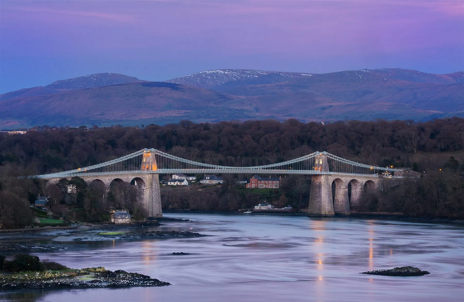
Anglesey · Strait & crossing
Menai Suspension Bridge
A graceful Telford bridge carrying the drama of the Menai Strait between island and mainland.
Anglesey · Copper & colour
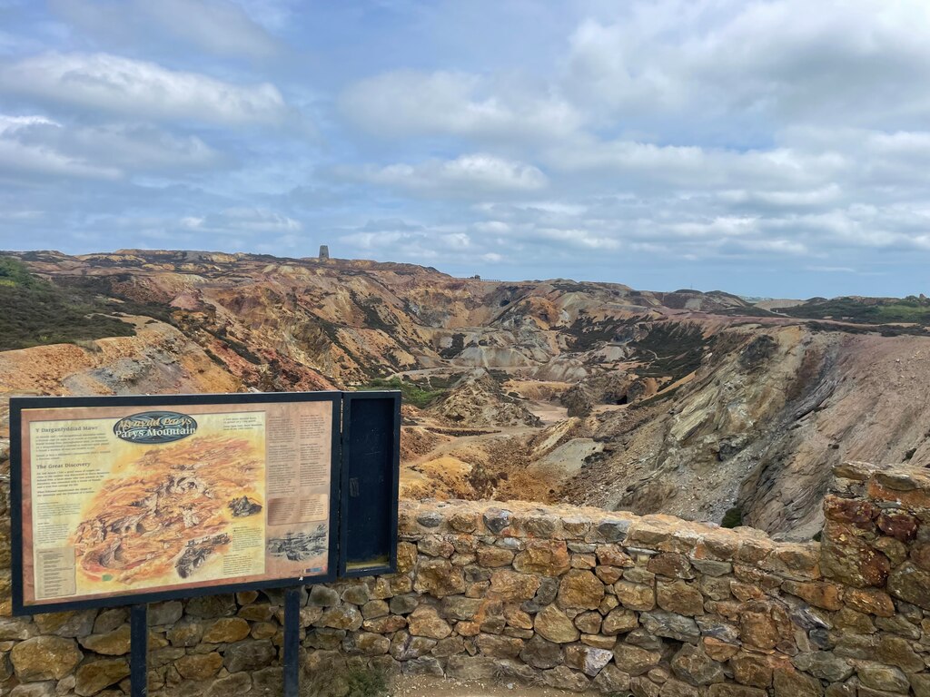
Parys Mountain
A strange copper-mined landscape of rust, ochre and purple earth on the hill above Amlwch.
Gwynedd · Crag & fortress
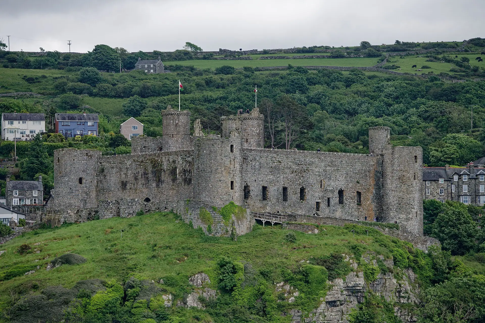
Harlech Castle
Edward I's fortress on a sheer rock above the dunes, crossed by a footbridge that recreates its original sea approach.
Gwynedd · Headland & harbour
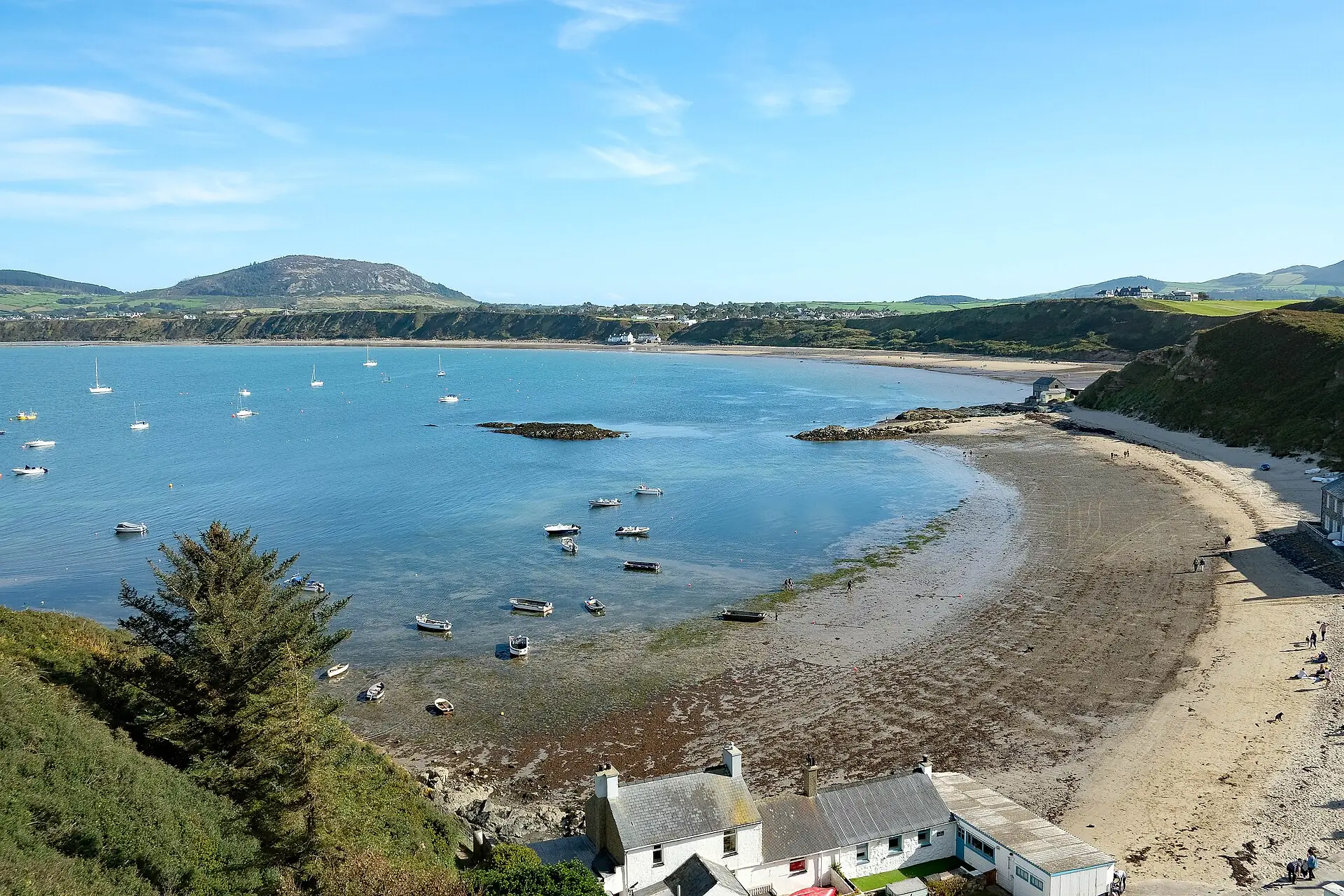
Porthdinllaen
A car-free fishing headland reached only on foot, with a working lifeboat station and the Tŷ Coch Inn on the beach.
Conwy · Garden & valley
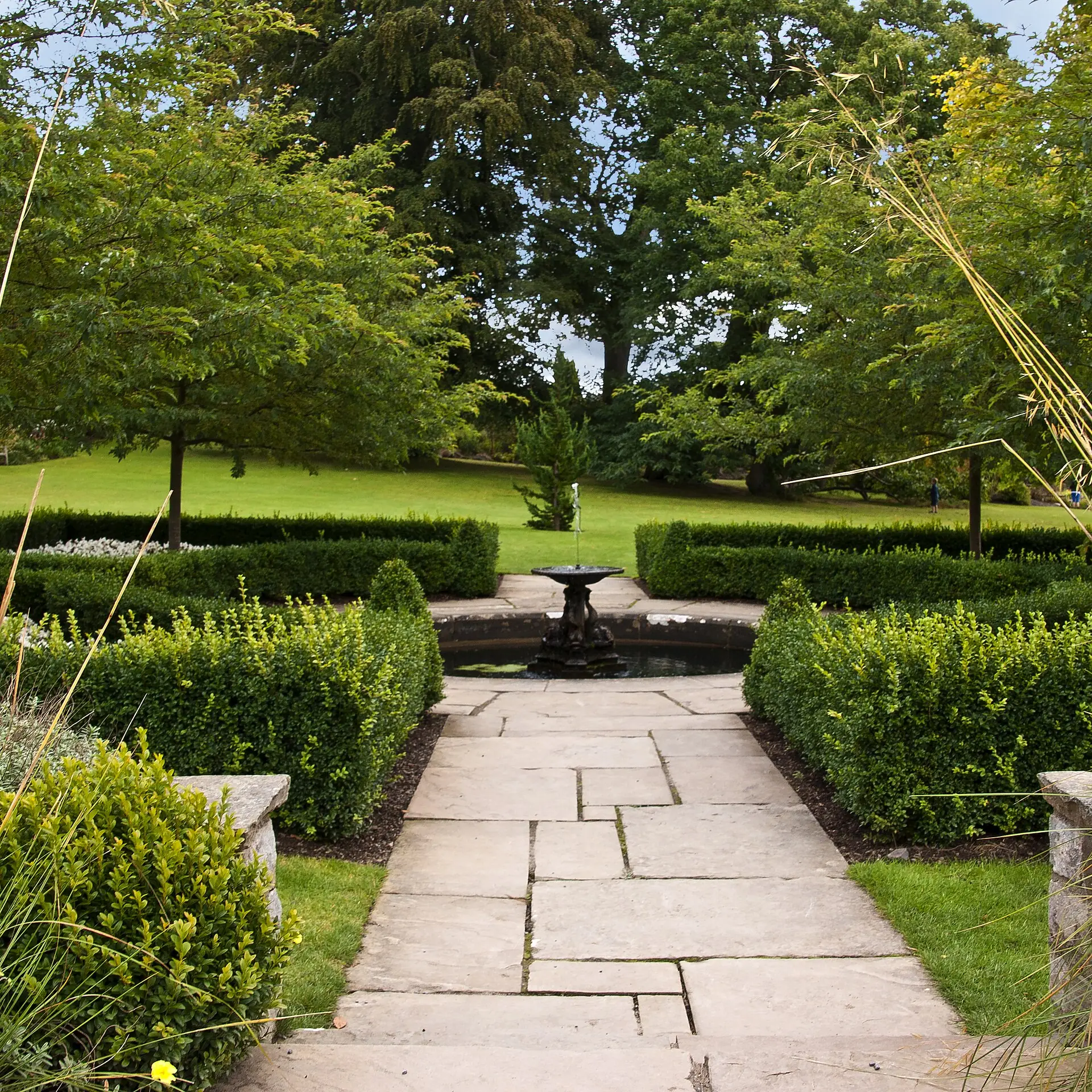
Bodnant Garden
An 80-acre Grade I garden above the Conwy valley — Italianate terraces, the wooded Dell and a 55-metre Laburnum Arch each late May.
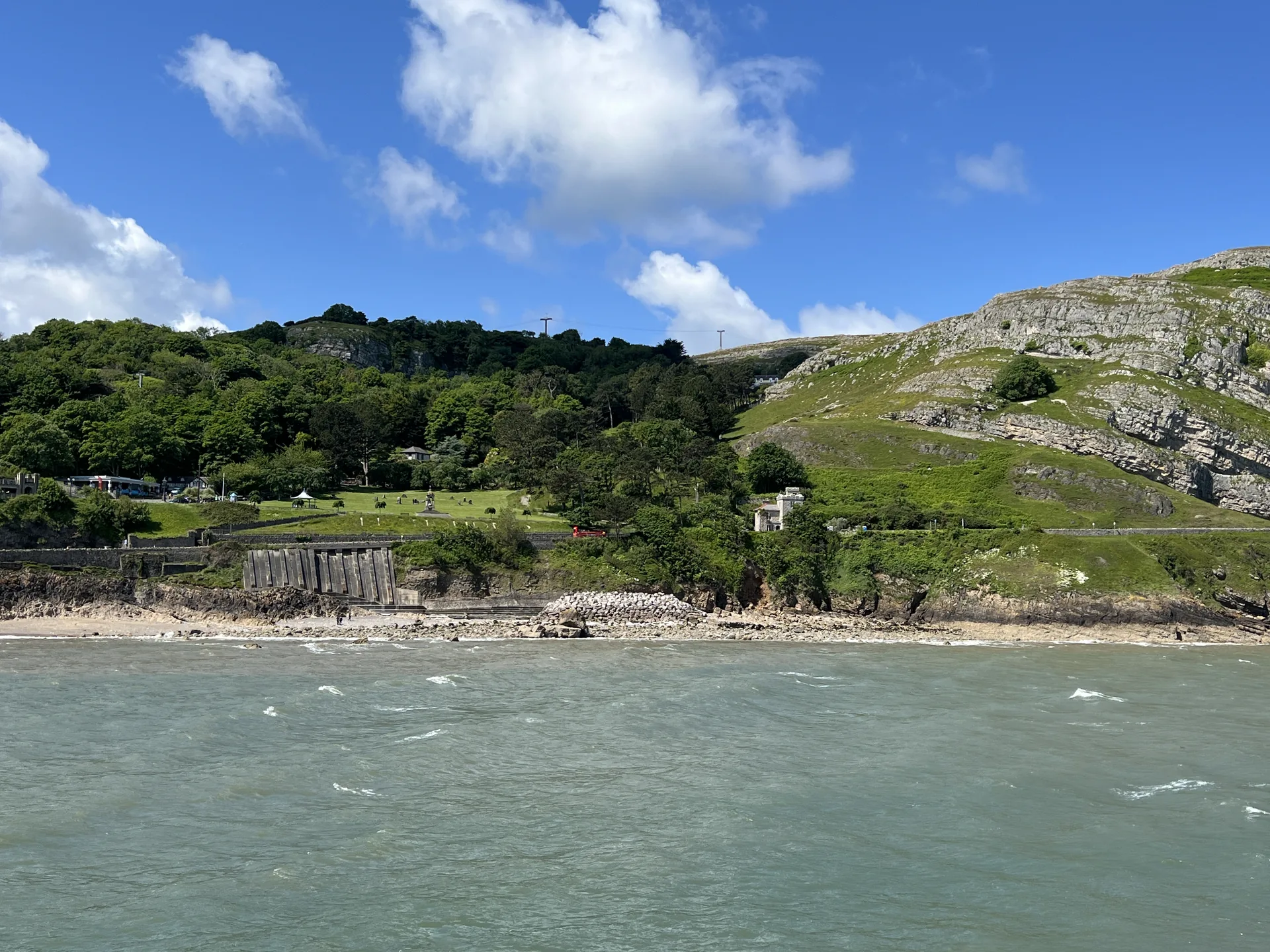
Conwy · Headland & mine
Great Orme
A 207-metre limestone headland above Llandudno, with a 4,000-year-old Bronze Age copper mine beneath it.
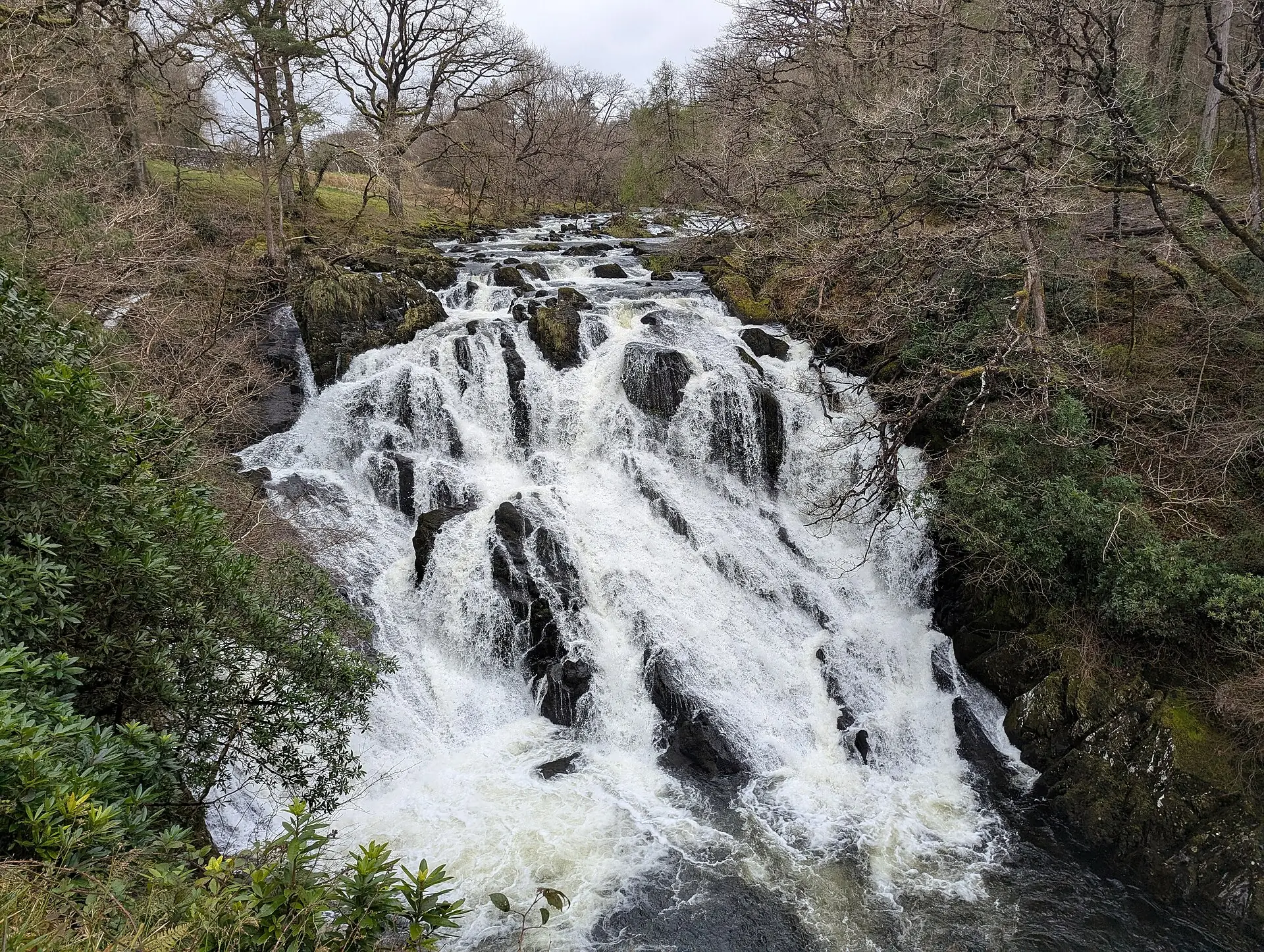
Conwy · Falls & river
Swallow Falls
A cascade on the Afon Llugwy off the A5 near Betws-y-Coed — open all year, day and night, no walk required.
Practical difference
More than a pin.A guide that helps shape the day.
Our guides turn good intentions into good days out — honest, practical detail that helps you plan with confidence and make the most of where you're going.
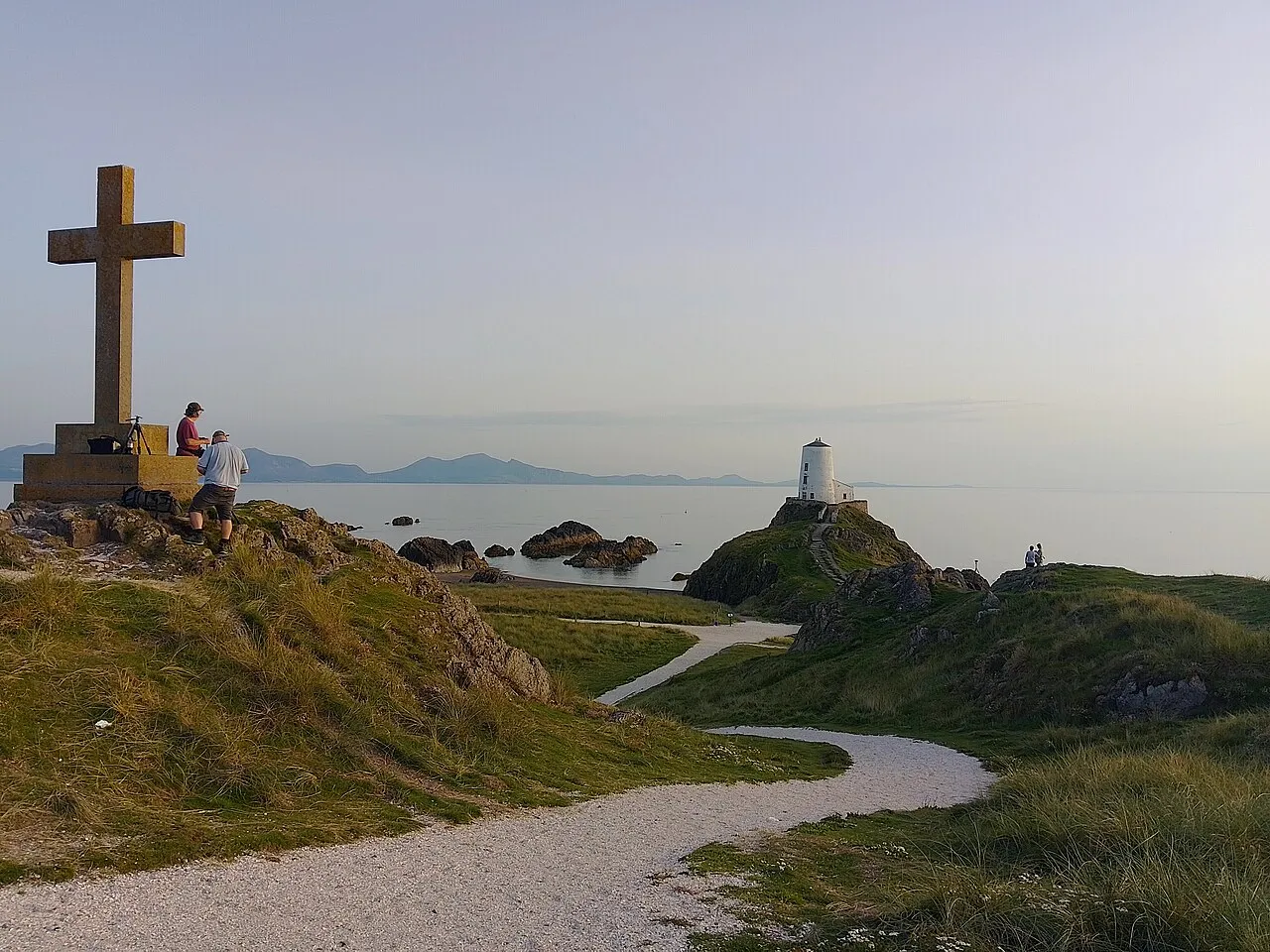 Llanddwyn Island, Anglesey
A place of stories, tides and wide horizons.
Llanddwyn Island, Anglesey
A place of stories, tides and wide horizons.
Llanddwyn Island
Anglesey
Tide dependencyYes — check tide times before crossing
Time to allow3–4 hours for the full trail
ParkingOften full 11am–3pm in peak season
AccessibilityNot step-free — sand and uneven ground
Walk difficultyModerate · 4.4 mi / 7 km loop
DogsSeasonal restrictions (Apr–Sep)
Current coverage
Three county chapters are open.The Atlas keeps growing.
Explore the Atlas through three live county chapters: Anglesey, Gwynedd and Conwy. More counties and more places are added only when they have been researched, written and verified. Denbighshire is the next chapter in progress.
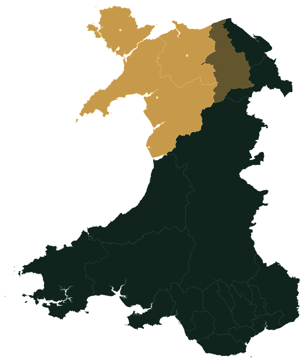
Current Atlas coverage · North Wales
Wales is larger when you know where to look.
Open the map, or begin with one of the current county chapters.