Newborough is not a turn-up-whenever beach. Get the tide, the timing and the parking right, and the day opens up — forest, dunes, an open strand, and a tidal island at the end of it.
Tide rule
Ynys Llanddwyn is tidal. Check tide times before walking onto the island, and leave enough time to return before the route changes.
Time needed
3.5–5 hrs for beach + island
Start point
Newborough beach access, off the A4080
Difficulty
Easy–moderate; sand, distance & tide
Planning gate
Tide-dependent access to Ynys Llanddwyn
Facilities
Bring your own water & food
Setting
3.5-mile beach, dunes, forest & nature reserve
Status
National Nature Reserve (NNR/SSSI)
Route style
Long, flat sandy walk
Need the exact details?Parking, tide & safety, transport, toilets, dogs, access, swimming and conservation.
Parking: charges, controls & pressure
Where
Main beach car park, reached via the A4080 through Newborough and the forest. Recent reporting attributed to NRW describes a main car park of around 300 spaces.
Charges
Uncertain here. As a rough benchmark only, Anglesey Council’s 2026–27 coastal tariff runs about £1.50 / 1 hr, £4 / 2 hrs, £8 / 4 hrs, £12 / 12 hrs (£20 trailer); season tickets about £180 / 12 months or £125 / 6 months single vehicle. The Newborough operation may use different, site-specific arrangements.
Before you go
Parking charges and controls can change here. Use the council tariff as a rough benchmark only — current charges are shown on site signage on arrival.
Reported pressure
Recent reporting describes stricter parking and access management, ANPR-style enforcement and heavy demand. Treat as recent context, not guaranteed operational detail.
Avoid
Late-day arrival in peak weather. Arrive early; do not rely on late parking.
Tide & coastal safety
The island
Ynys Llanddwyn is tidal — poor timing can cut the island off. See the tide rule above.
Wider shore
The bay, dunes and estuarine shore change significantly with the tide. Do not use “it looked fine earlier” as a safety test.
Avoid if unsure
Island margins, channels, rocky outcrops and tide-cut sections.
Conditions
Strong wind can make the open bay colder and rougher than inland forecasts suggest.
Emergency
In a coastal emergency call 999 or 112 and ask for the Coastguard. NHS 111 for non-emergency medical advice in Wales.
Public transport
Bus
A public bus runs along the A4080 at Newborough; the exact route, timetable and Sunday service are not stated here.
Reality
Buses may reach Newborough village and the A4080 corridor, but not necessarily the shorehead. Treat car-free access as possible but fragile.
Live bus times
Worth checking on the day, especially for sunset, winter or Sunday visits.
Toilets & refreshments
Toilets
Do not assume staffed, year-round facilities.
Food & drink
No café or refreshments are confirmed on site. Bring your own water and food.
Dogs
Rules
Dog rules are not settled here — current restrictions are shown on signage on arrival, especially in nesting or peak season.
Accessibility
Near arrival
Partial access near the arrival points may be possible; the island route itself is not step-free.
The island
The Ynys Llanddwyn section — sand and uneven ground — is not suitable for many mobility-impaired visitors unless a specific accessible route is verified.
Do not assume
Do not treat the full island visit as accessible without live verification.
Swimming & lifeguards
Lifeguard
No lifeguard cover is confirmed — treat the beach as unpatrolled.
Simpler water
The open central beach is simpler than the island margins.
Complex water
Island margins, rocky outcrops, channels and tide-cut sections are more complex; the island-end coves and channels are not swimming recommendations.
Conditions
Wind can make the bay colder and rougher than inland forecasts suggest.
Conservation & wildlife
Status
Part of the Newborough Warren & Ynys Llanddwyn National Nature Reserve / SSSI landscape.
Habitats
Dunes, intertidal flats, saltmarsh, a freshwater lake, forested areas and tidal-island context.
Wildlife
Wintering pintail, breeding cormorants, ringed plovers and grey seals in the bay; Newborough Forest is an important red-squirrel site.
Why it matters
No fires or BBQs. Keep to paths, avoid disturbing birds and damaging dunes — crowd pressure matters more here because this is a reserve.
What to bring
Water
Food
Warm layers
Windproof
Tide times saved
Sturdy footwear
Charged phone
Sun protection
Atlas of Wales Discovery Highlight
The beach is not the arrival.
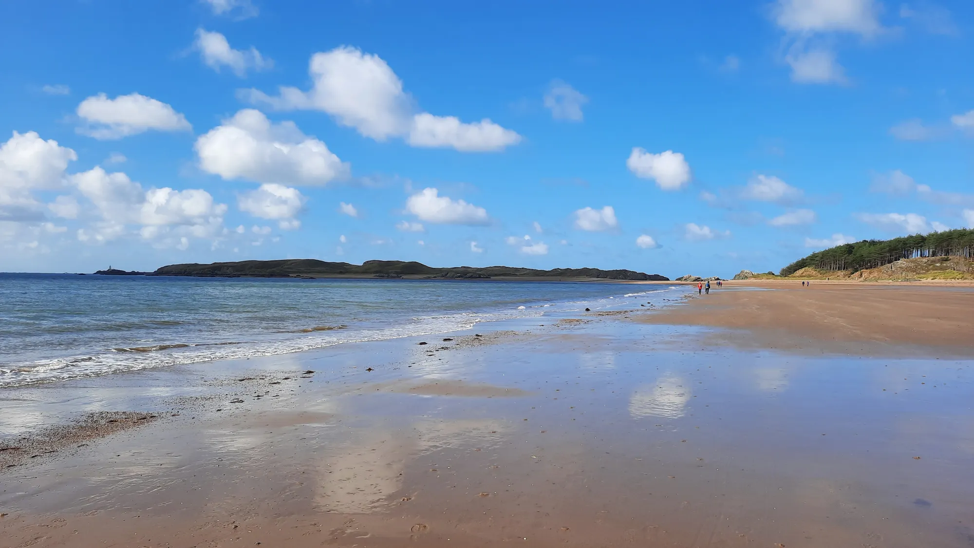
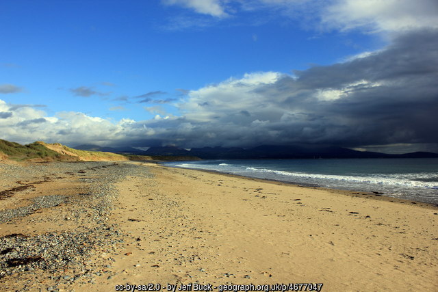
The moment people remember is the change of texture: pine forest and dunes give way all at once to a strand about three and a half miles long, with Ynys Llanddwyn pulling the eye west and the mountains of Eryri standing across the water.
This is a nature-reserve landscape, not a promenade. The scale is the point — and it asks you to slow down.
Where the forest lets go of the sea.
Atlas of Wales Verdict
Exceptional, but not frictionless.
One of Anglesey’s strongest coastal days out — if you plan around tide, parking and exposure. Not a casual “turn up whenever” beach.
Good fit for
walkers after beach, dunes and forest in one visit
photographers chasing scale, light and island views
visitors who can plan around tide times
nature-focused visitors
anyone wanting a more atmospheric Anglesey coast
Think twice if
you need guaranteed toilets, café or staffed facilities
Early start, checked tide, a slow walk from forest to dunes to open water — the island only if conditions allow.
Forest, then dunes, then a strand that runs for about three and a half miles.
How your visit unfolds
One day, seven scenes.
See the shape of the visit before you commit to it.
01 Approach
In off the A4080, through Newborough Forest. Park early.
02 Dunes
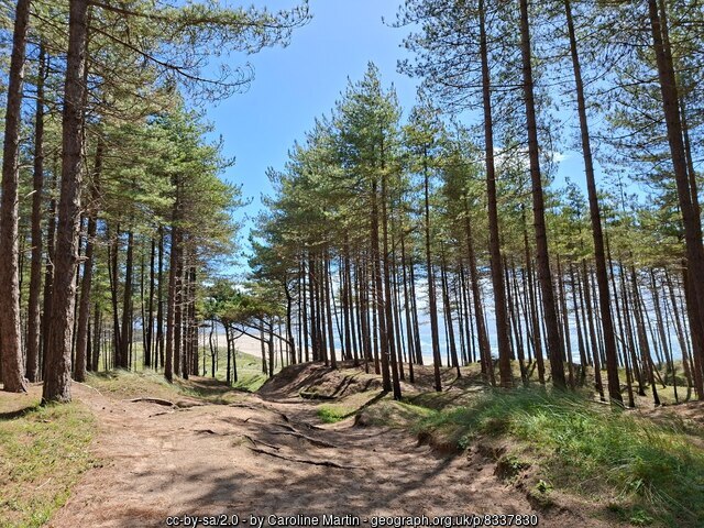
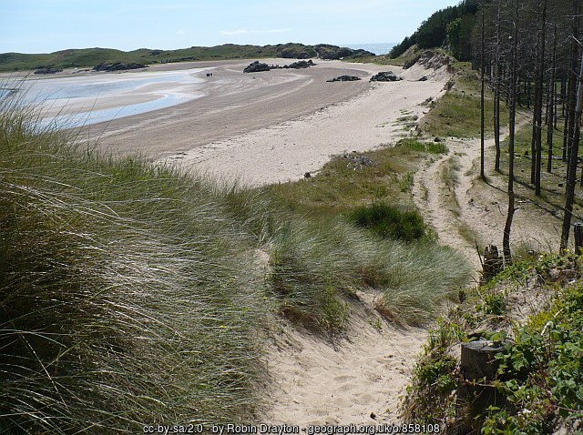
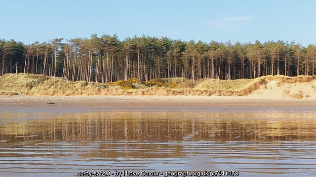
Pine gives way to dune and marram grass.
03 The beach
The strand opens — roughly 3.5 miles of it.
04 The island
West to Ynys Llanddwyn, only if the tide allows.
Tide check essential
05 Church ruins
St Dwynwen’s roofless walls above the shore.
06 Lighthouse
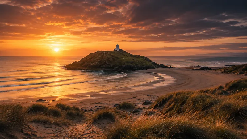
Towers, sea on both sides, Eryri beyond.
07 Return
Back across the sand before the tide and the exit rush.
The walk, in pictures
Seen along the way.
Forest, dunes, strand and mountain light — the visit before you make it.
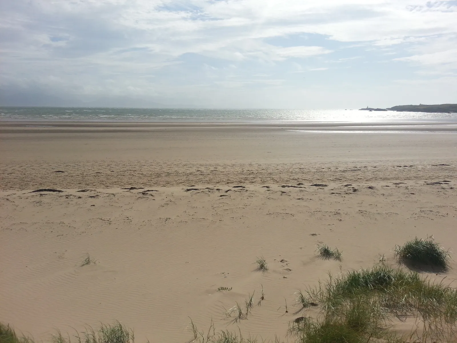
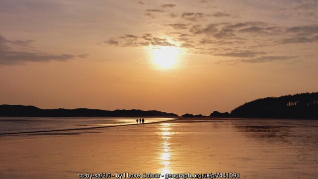
The strand looking east — the full width of the bay at low tideThe dune path before the beach opensEryri across the strait — visible from the beach on clear daysThe dunes between forest and seaLate light — the reason people stay longer than planned
What stays with you
The parts people remember
Newborough is not one view. It is a day that keeps changing texture.
01
The forest lets go
Pine shade, sand underfoot, and then the whole bay opens at once.
02
The tidal threshold
The walk west to Ynys Llanddwyn, made with one eye on the water.
03
Chapel and lighthouse
Roofless walls and a sea-tower, sharing the same low headland.
04
The look back east
Some of the best of it is behind you, down the length of the beach.
05
Return light over the dunes
Same path, changed sea, changed sky, changed mood.
It rewards the people who give it time.
From the Newborough archive
The story under the sand.
Four field notes on what this landscape carries — a saint, a ruined church, a working coast, and a forest planted on purpose.
Much of Newborough looks natural. A good deal of it — the forest especially — was made.
Field notes
Four entries. Open one to read the note.
Heritage & memory Heritage
Saint Dwynwen
Field note I · filed under heritage
The island at the western end of the beach carries a saint’s name — and a reputation for love.
What is known
Ynys Llanddwyn means “the church of St Dwynwen.” She is honoured as the Welsh patron saint of lovers, and her feast day — Dydd Santes Dwynwen — falls on 25 January.
What tradition says
She is remembered as a woman who withdrew to the island for a life of devotion after a love that could not be. Those details belong to tradition, not record.
What to notice there
The romance is in the name, not the scenery. What is actually here is wind, sand, sea and stone — and the chapel ruins that still carry her dedication.
Stone & age Fact
St Dwynwen’s church
Field note II · filed under fabric
The ruins on the island are the church that gave the place its name — and there is more beneath them than meets the eye.
What is known
The island holds the ruined remains of St Dwynwen’s Church. Archaeological work reported in 2021 found traces of earlier structures beneath the visible ruins.
What the record suggests
The dedication is tied to Dwynwen, though the standing fabric is later. The full sequence of building and rebuilding is not settled.Dating — uncertain
What to notice there
Roofless walls, open to the weather, frame the sea. Nearby, a memorial cross gives the headland its second, quieter landmark.
Working coast Working history
Lifeboat & crossing
Field note III · filed under the working coast
Long before it was scenery, this was a coast that had to be worked and crossed.
What is known
A lifeboat station stood on Ynys Llanddwyn in the nineteenth century and closed in 1907. Nearby, the wider Newborough and Abermenai area connects to an ancient crossing route over the Menai Strait.
What the record suggests
These were dangerous waters worth lighting and guarding. That work is remembered more in the place than on any single plaque.
What to notice there
Towers, cottages and the shape of the shore read as a workplace, not a backdrop. Look across to the mainland and the line of the old crossing makes sense.
Made landscape Fact
The planted forest
Field note IV · filed under the made landscape
The pine forest you walk through to reach the beach was planted to hold the sand in place.
What is known
Newborough sands were afforested from 1947 onward, partly to stabilise drifting sand and help protect the village. The result is a managed landscape, not simply scenic woodland.
What the record suggests
The forest sits within the Newborough Warren & Ynys Llanddwyn nature reserve and SSSI context — dunes, forest and shore managed together.
What to notice there
Pine on a dune system is an unusual sight. It is also an important red-squirrel site — reason enough to keep to paths and keep the place quiet.
Continue exploring
Don’t let the day end at one beach.
Four stops that turn one strand into an Anglesey day — each is a real place on the map.